It was
a pleasant night in the Lance camper despite the strong winds
and rain. The following morning was clear and sunny, so we
broke camp and headed toward Capital Reef National Park.
The photos below are what we saw.
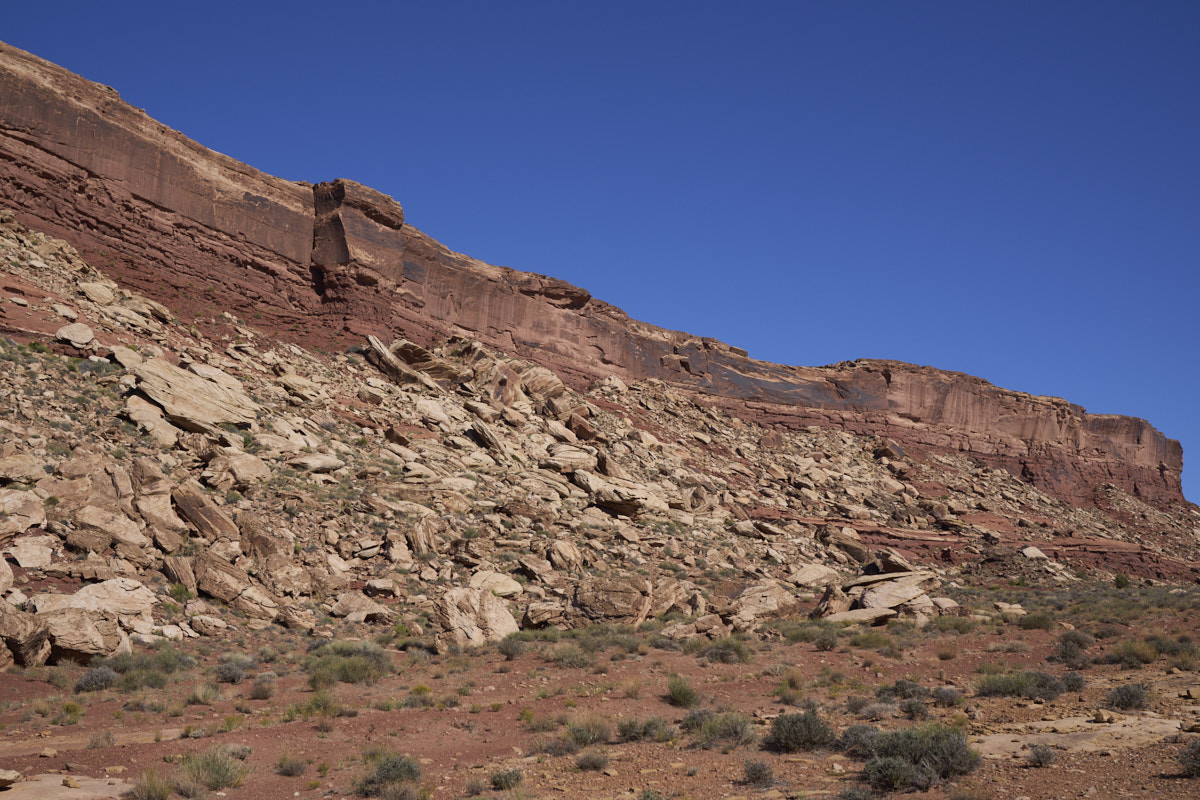
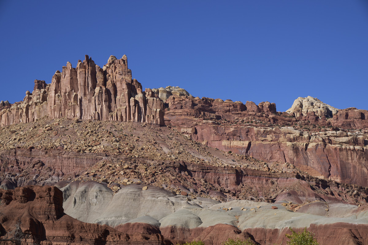
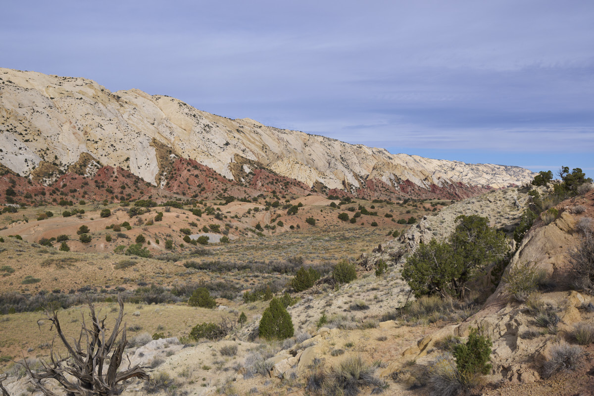
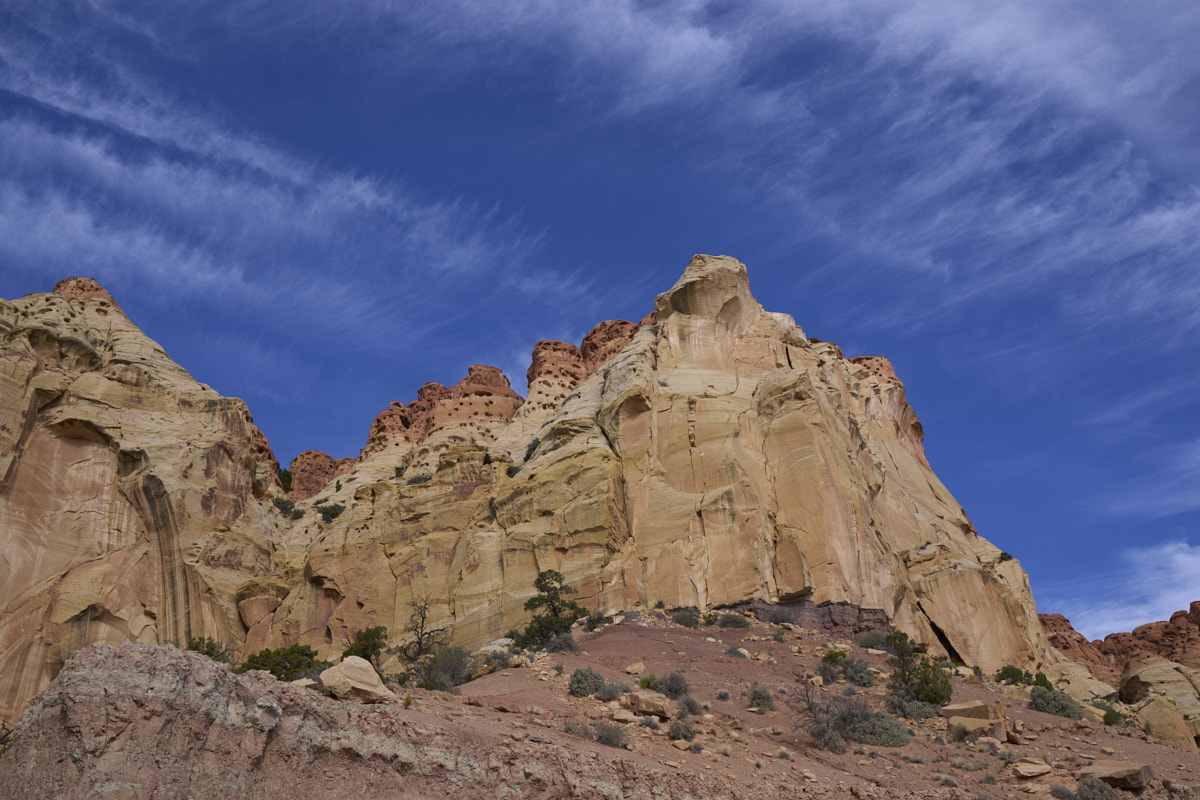
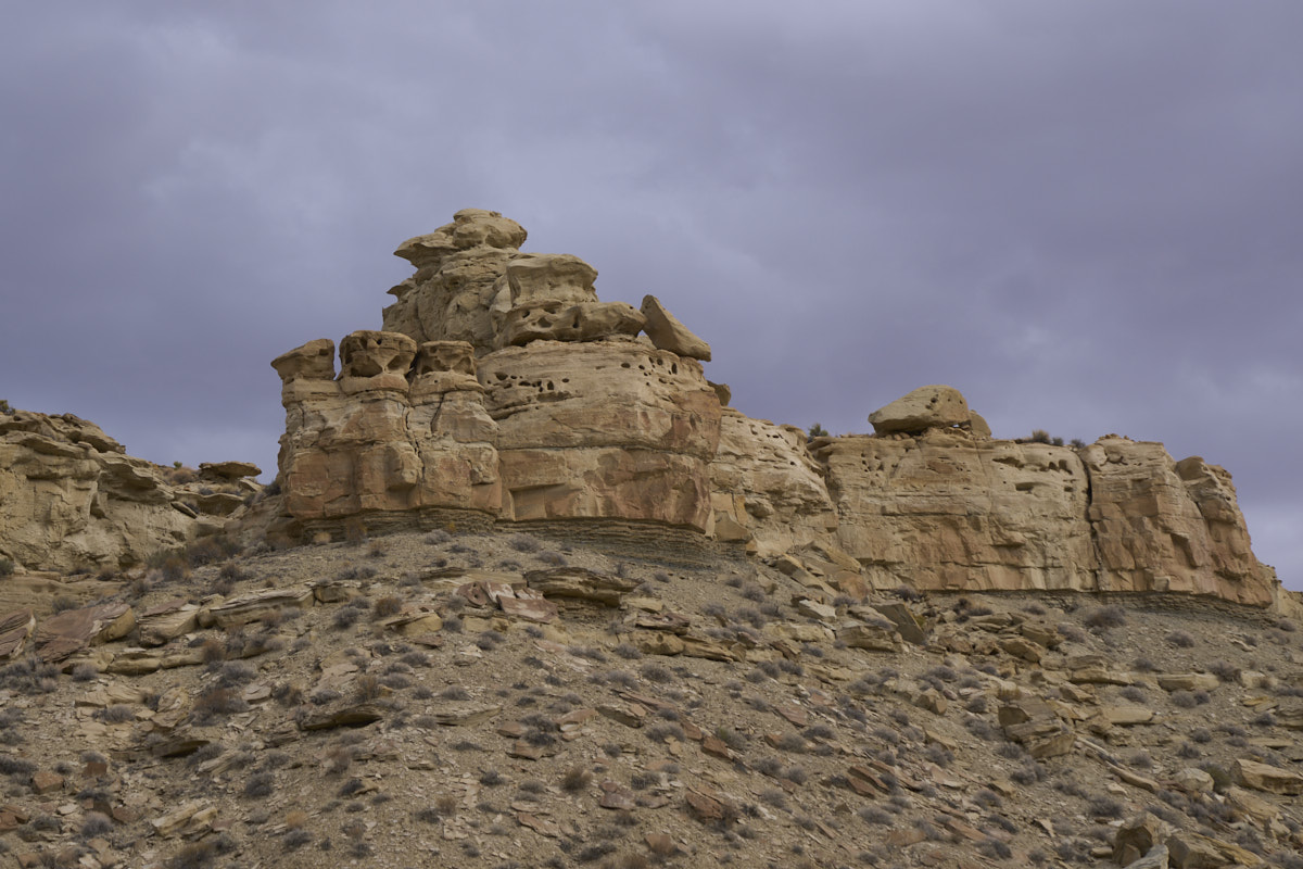
The
clear weather gave us crisp views of the massive debris at the
base of the cliffs. When the cap rock collapses, it would
be a very bad day for anyone or anything close to the cliff
walls.
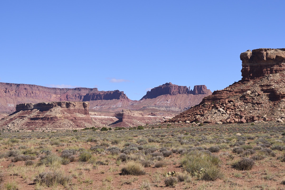
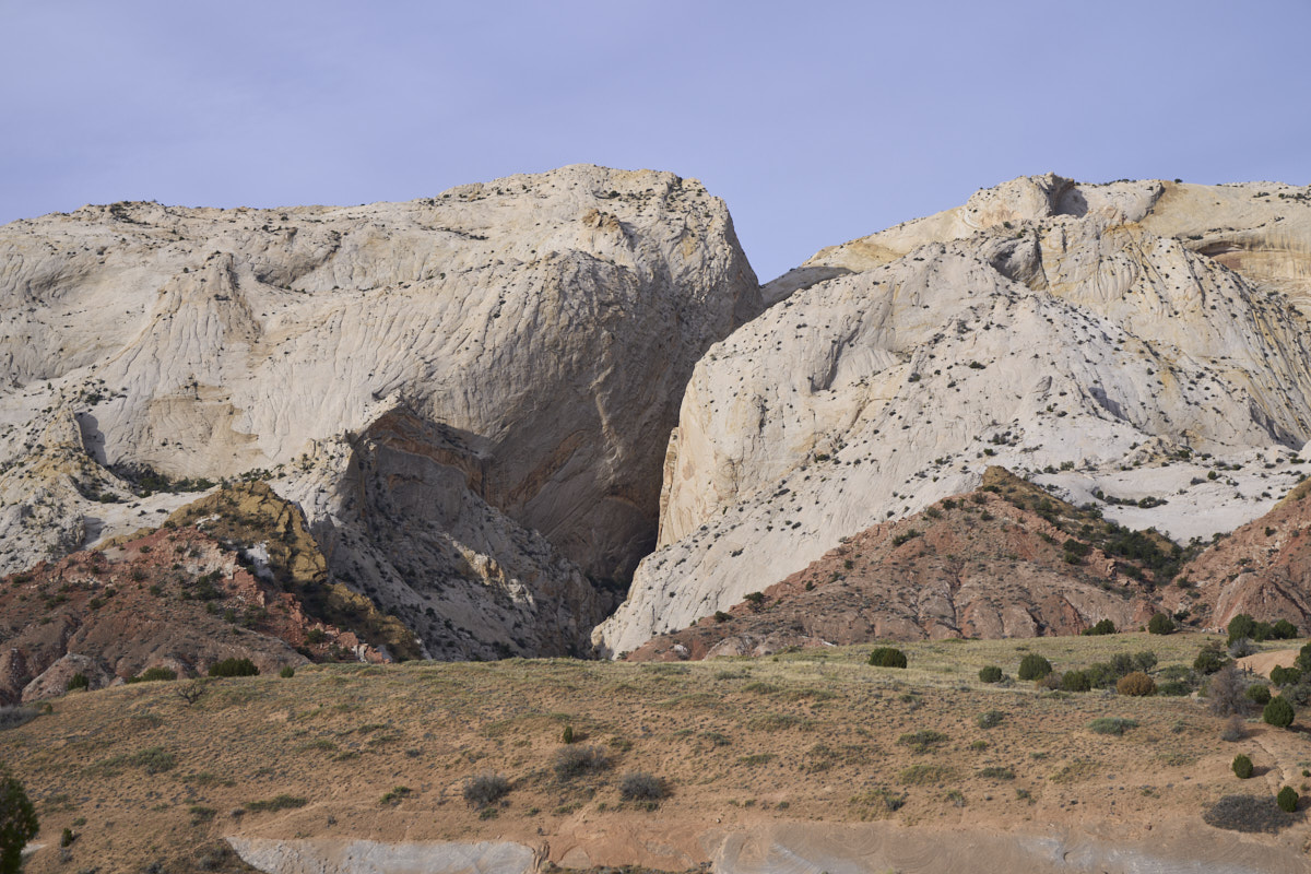
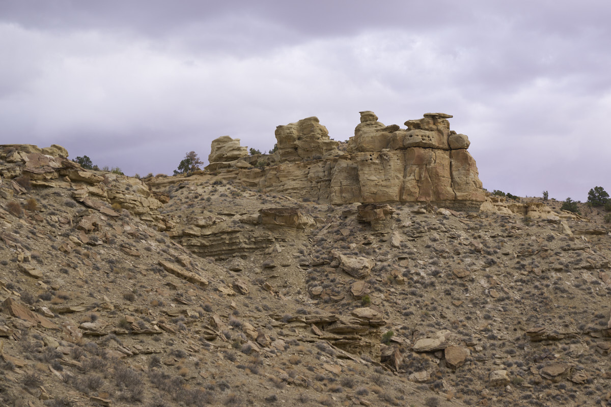
As we
wound our way along the side canyons we got spectacular views of
the surrounding cliffs.
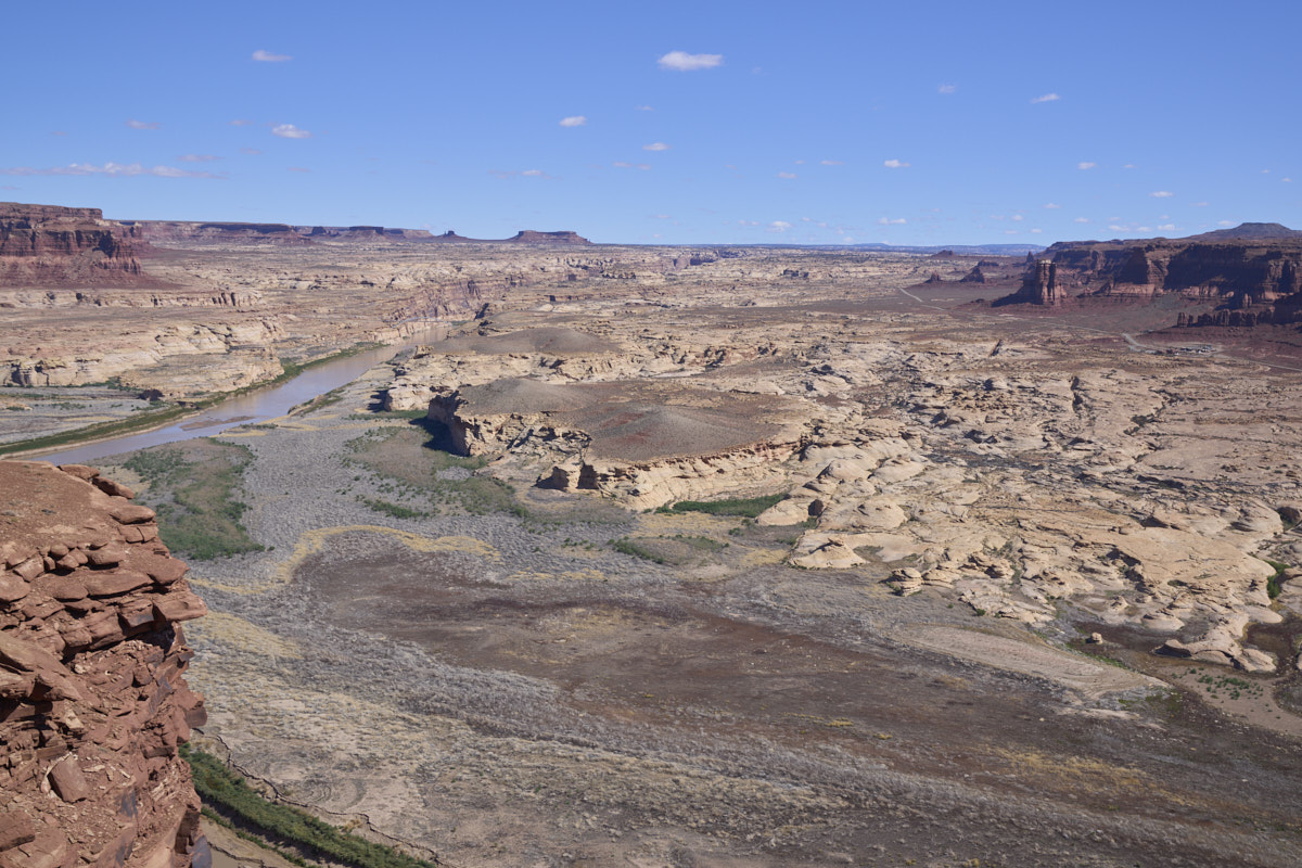
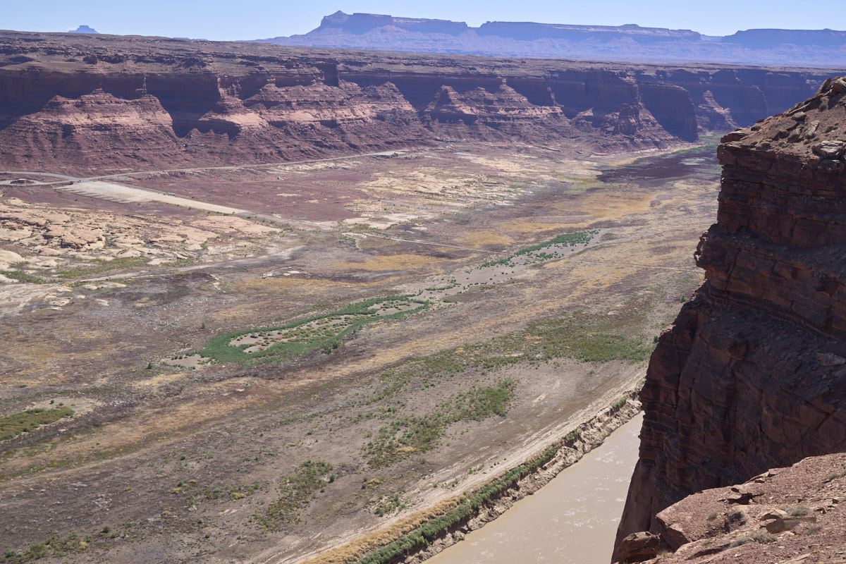
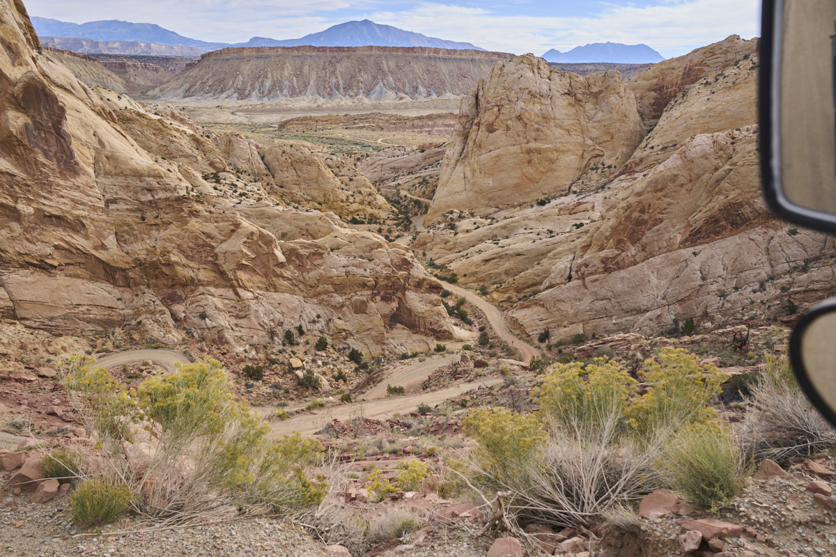
After
nearly 3 hours of off-road work, we reached the main highway and
ascended the western ridge. From the overlook, we had a
clear view of the Colorado River Valley. Our campsite the
previous night was at the base of the cliffs at the upper left
of the photo above. Note the Hite access road at the right
side of the photo. The village of Hite is visible along
the road at the right edge of the photo. You gotta look
carefully as there is not much there.
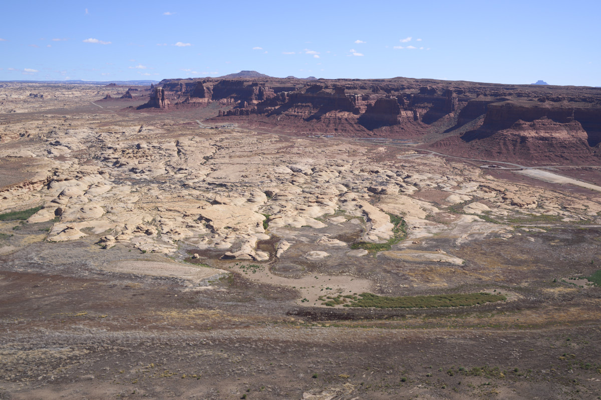
The
village of Hite is visible along the road to the left of center
of the photo above. Also note the concrete boat launch at
the right edge of the photo.
The
concrete boat ramp is clearly visible but where is the
lake? The river has retreated to the western edge of the
canyon, perhaps 1/2 mile from the end of the ramp.
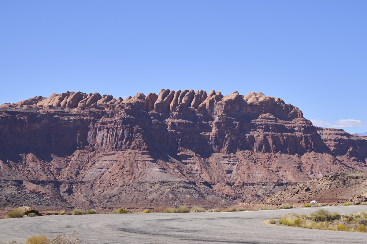
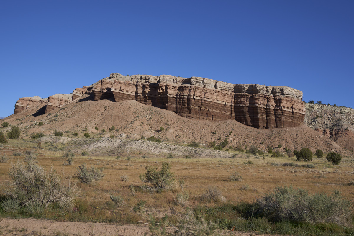
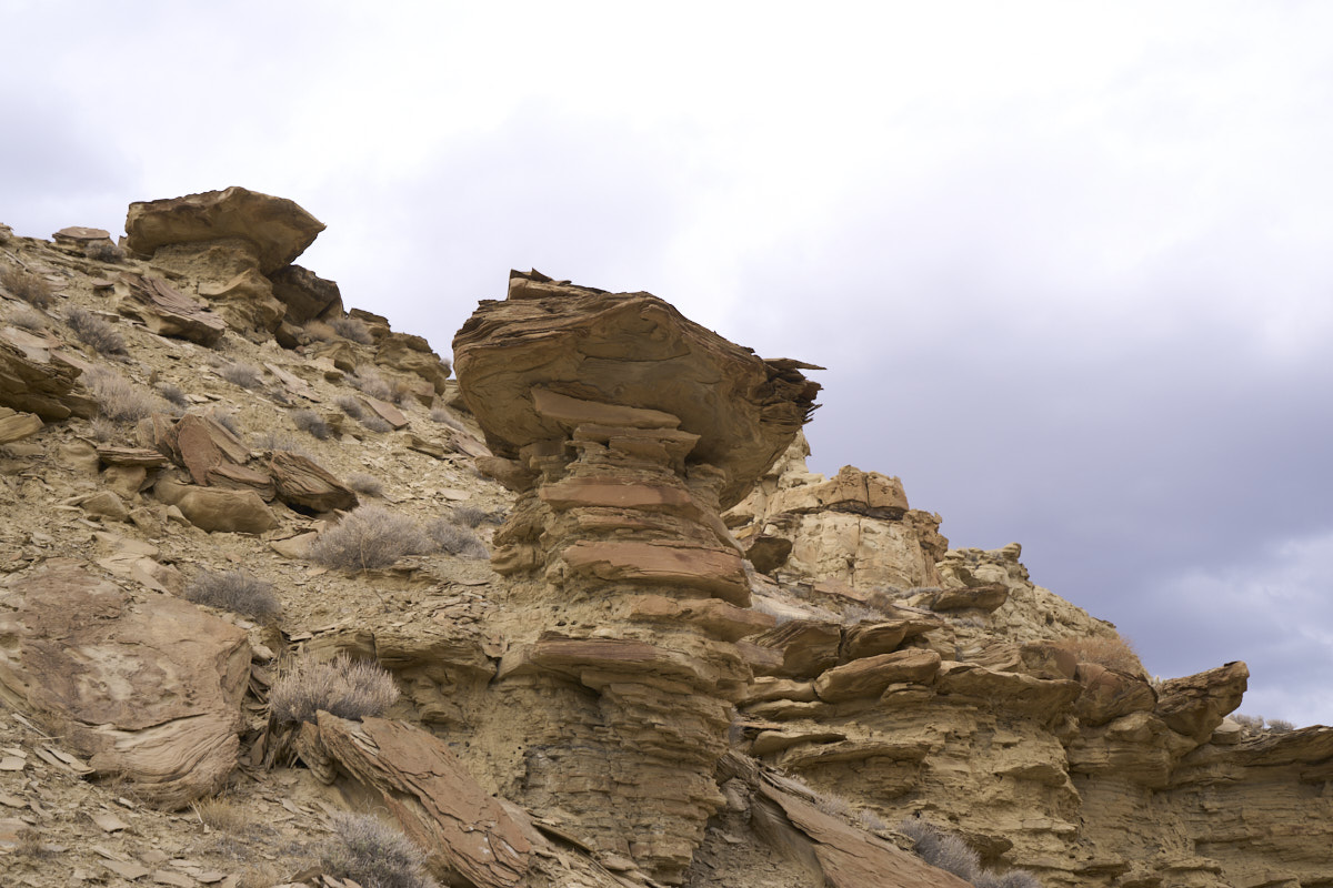
To the
west, large sandstone formations were visible on the distant
cliffs.
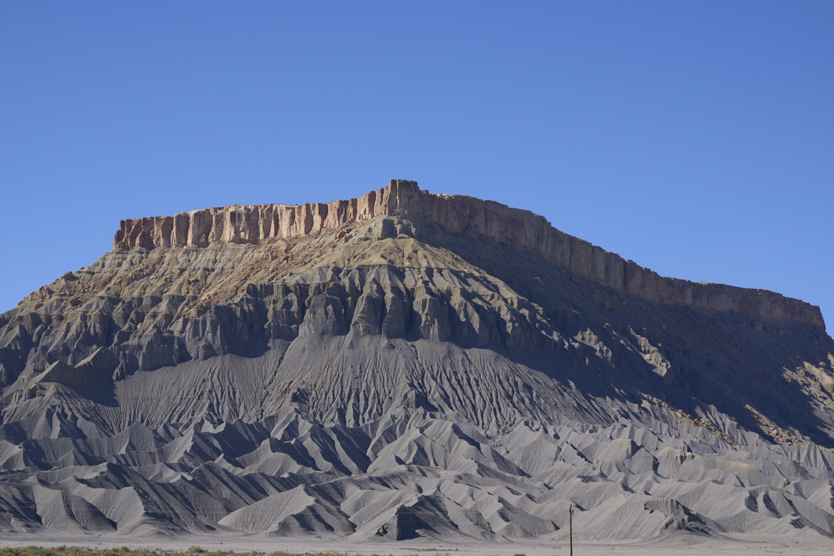
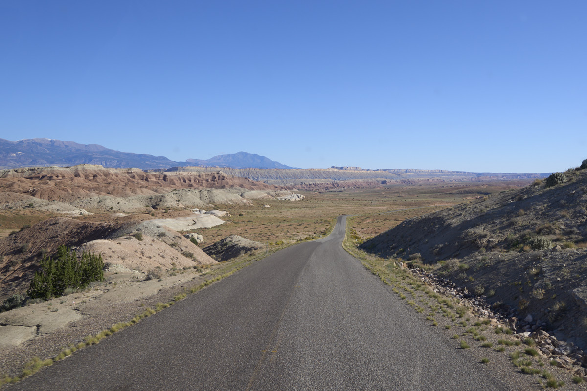
We drove
north to Hanksville and did a food/fuel stop, then turned west
again toward Capital Reef. The gray formation is known as
"Tropic Shale" for the nearby town of Tropic, UT. We would
become very, very familiar with the properties of this shale the
following day.
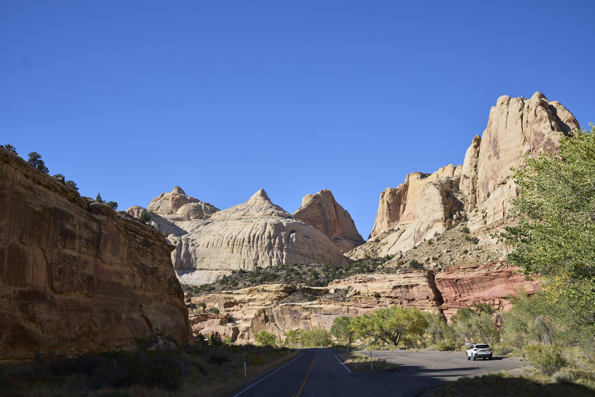
We
attempted to stay at the campground in Capital Reef, but it was
full. So, we decided to head south along Waterpocket Fold
and try the remote camp there. Above is a view of some of
the structures visible from the main area of Capital Reef.
We
backtracked a dozen miles or so and then headed south along
Waterpocket Fold. Back in the day, this road was dirt.
We
followed the monocline south to the remote camp. Tiny and
full were the best adjectives to explain the situation.
So, thwarted again, we continued south.
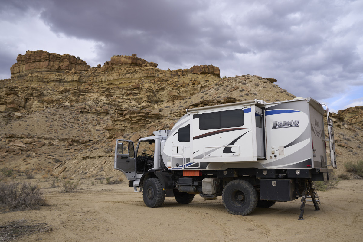
We found
an acceptable side-of-the-road spot to the south and set up on a
small, flat area for the night.
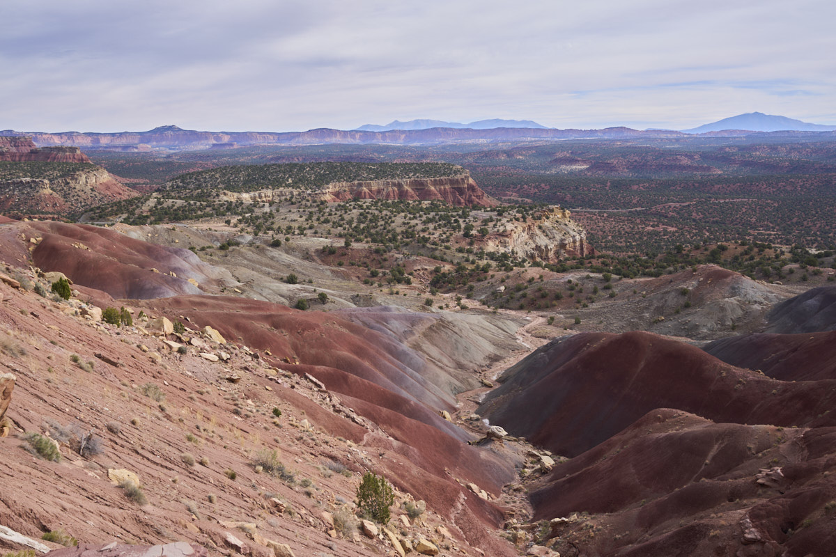
It was a
calm, cold night. The next morning, we continued south
along the axis of the Waterpocket Fold monocline. The
uplift resulted in interesting rock formations and nice lines of
colors.
In due
course, we hit the junction in the road for the Muley Twist
trail that would take us right up the face of Waterpocket
Fold. The trail goes through the notch in the monocline.
Once we
were a few switchbacks up the grade, we had a nice view to the
east.
Many
miles further we stopped at an overlook point and were rewarded
with bright colors and a sweeping panorama of the local terrain.
The
up-hill side of the overlook point was just as spectacular.
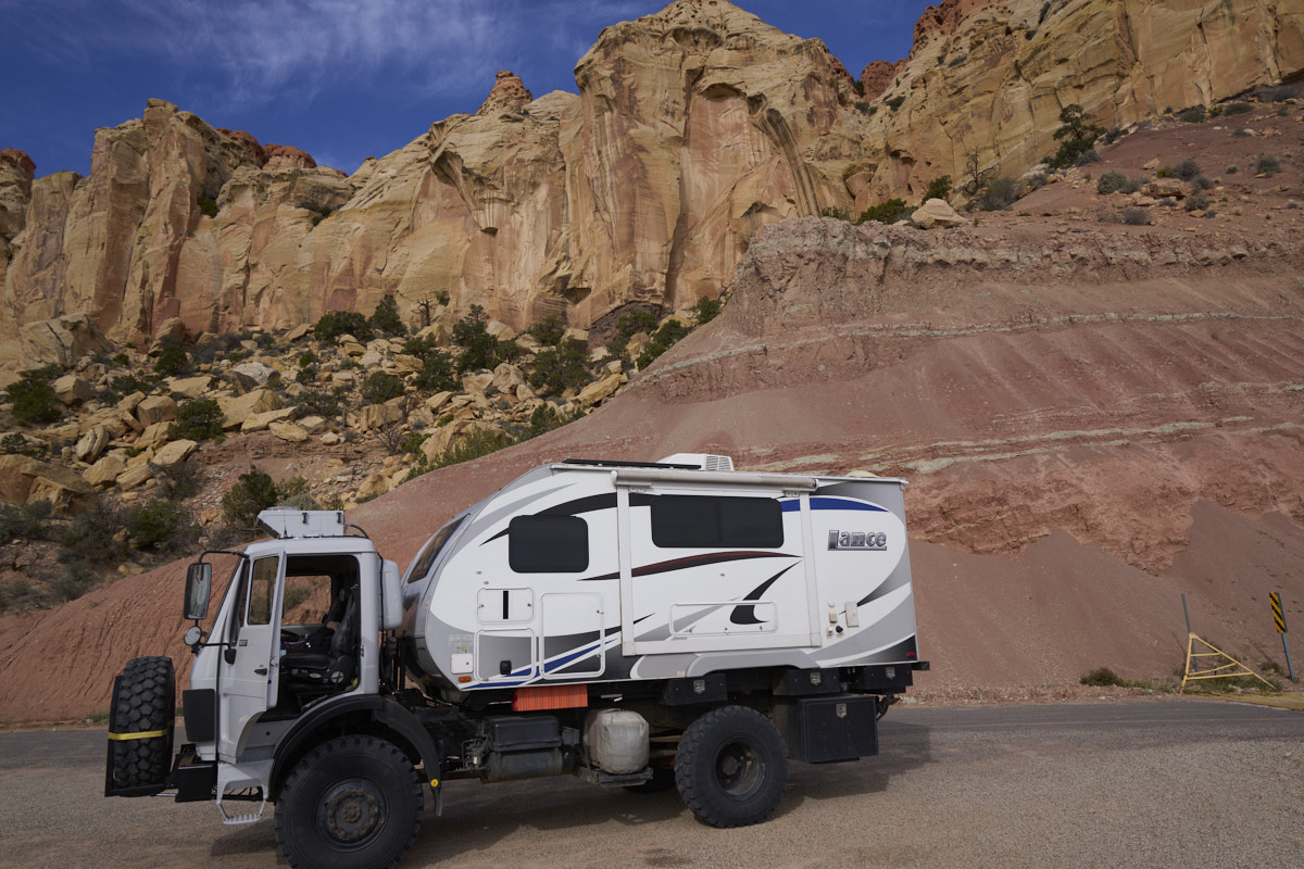
Thor's
new pain scheme blended in well with the local hues.
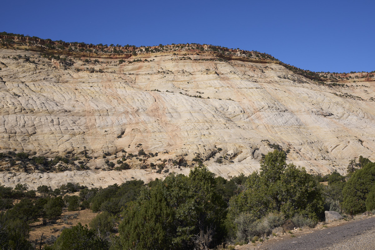
Our path
into Boulder, UT took us past this huge mesa of blonde
sandstone.
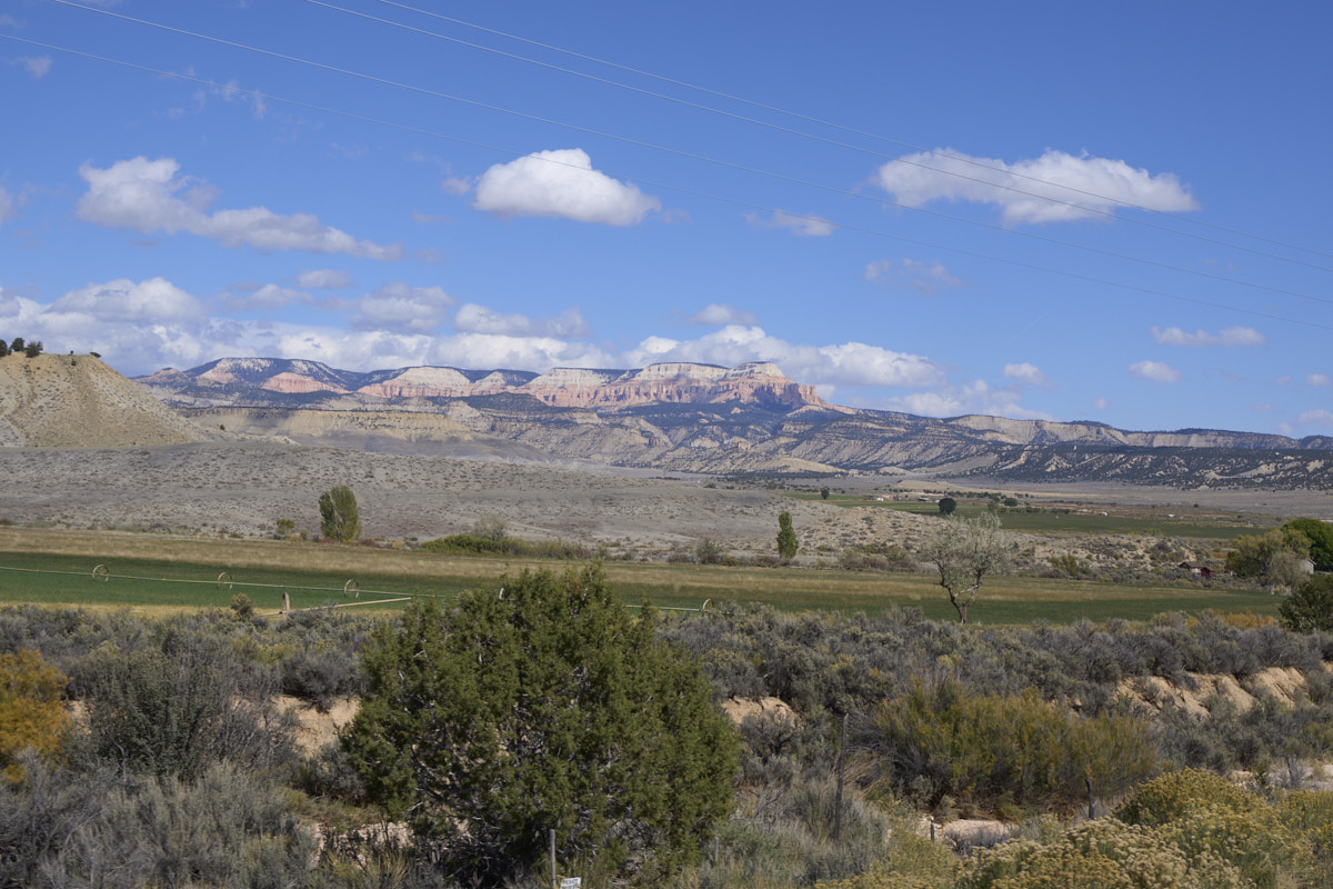
We
continued west through Escalante and then to Tropic. From
Tropic, we had great views of the 10,000 foot mesas to the
north.
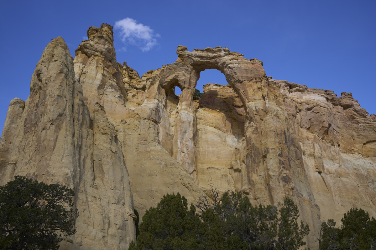
We
headed south from Cannonville through Cottonwood Canyon.
Our first stop was Grosvenor Arch. Named for a past
president of the National Geographic Society, this is a double
arch which is rare.
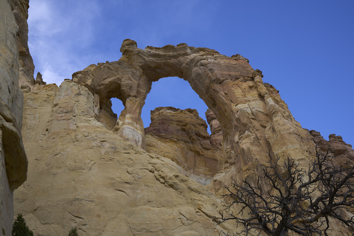
A closer
view of the arches.
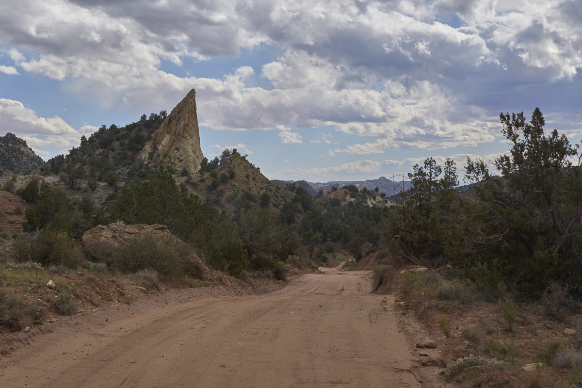
We
continued south and the structure on the left marks the entry to
Cottonwood Canyon. There was a nice, big sign at the
entrance to the canyon that state that the trail was "impassable
when wet". Noted, but disregarded as it as not raining nor
did it look like rain was in the near future. My plan was
to find a nice spot in the canyon and spent the night and exit
the following morning. Surprises were in store.
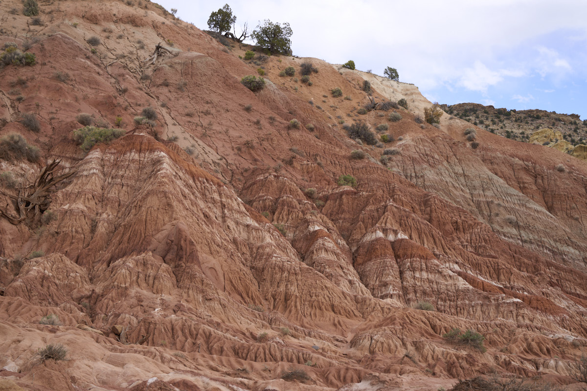
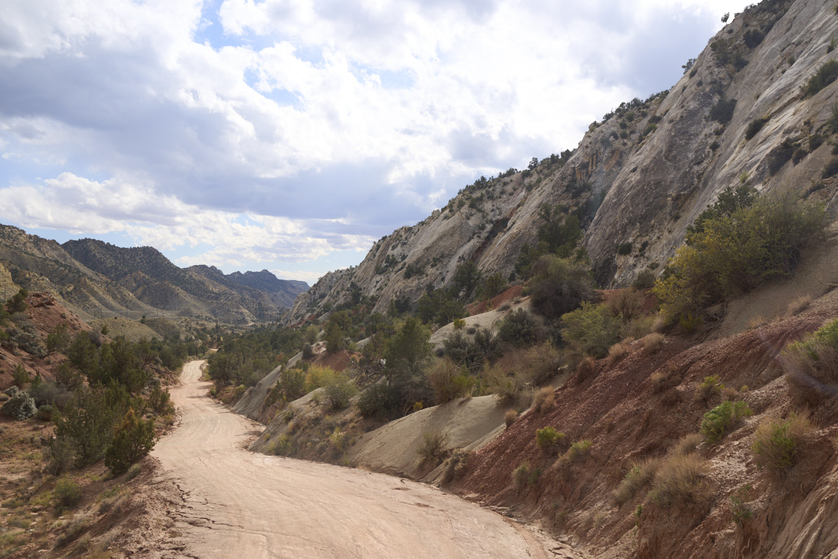
The
folding and erosion exposed plenty of interesting features in
the strata.
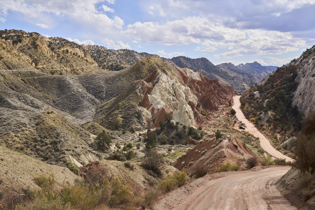
Cottonwood canyon is
the eroded area between two harder formations of this
monocline. The trail goes through the soon-to-be-gooey
center strata. Note the steep rock walls on the western
side and the bright colored formations.
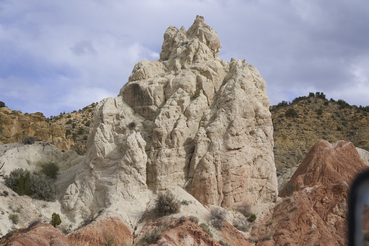
This localized white
outcropping was particularly interesting.
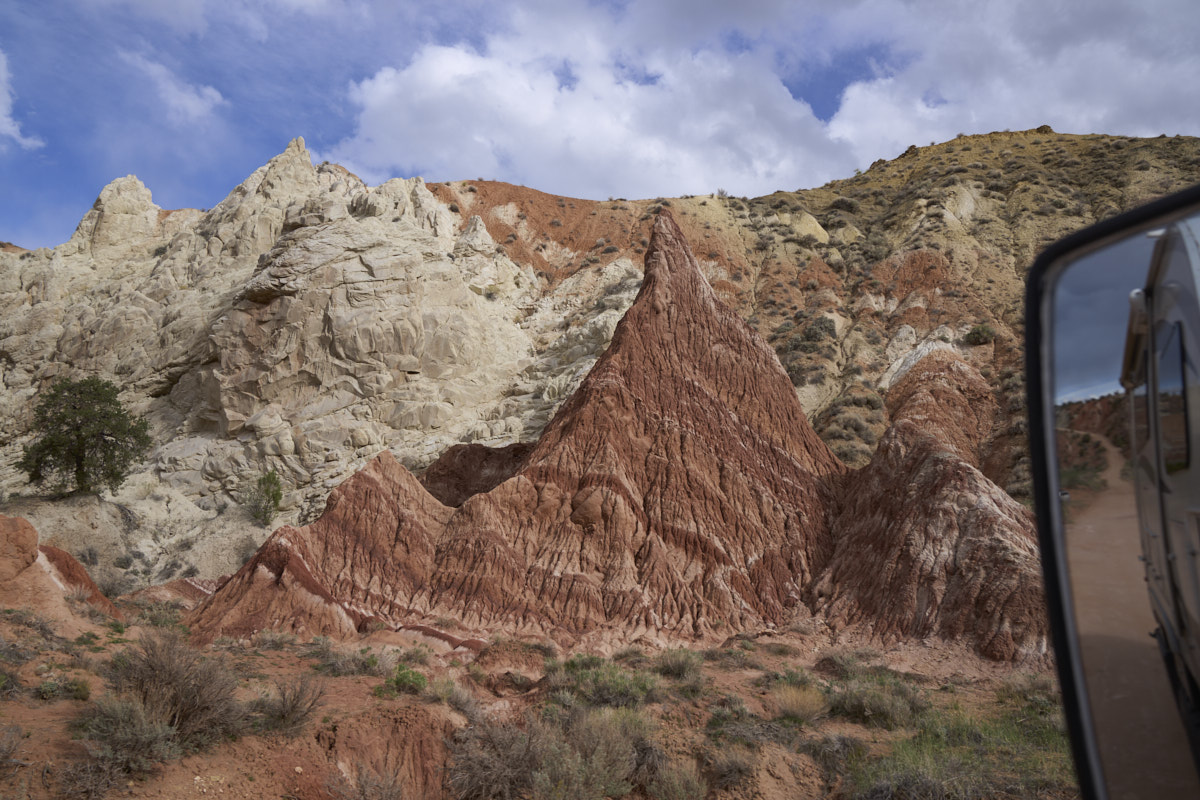
The softer red strata
eroded to produce interesting shapes.
It was getting late
in the day and we were tired. So, we located a flat,
sheltered side canyon and chose to spend the night. The
weather situation had degraded somewhat and it was starting to
look as if it could rain. Our location was close to the
exit of the canyon, so we elected to take a chance and stay
anyway. To the east of our camp were nice cliffs with
wind caves. Indeed, the wind was blowing hard and
continued to blow hard all night.
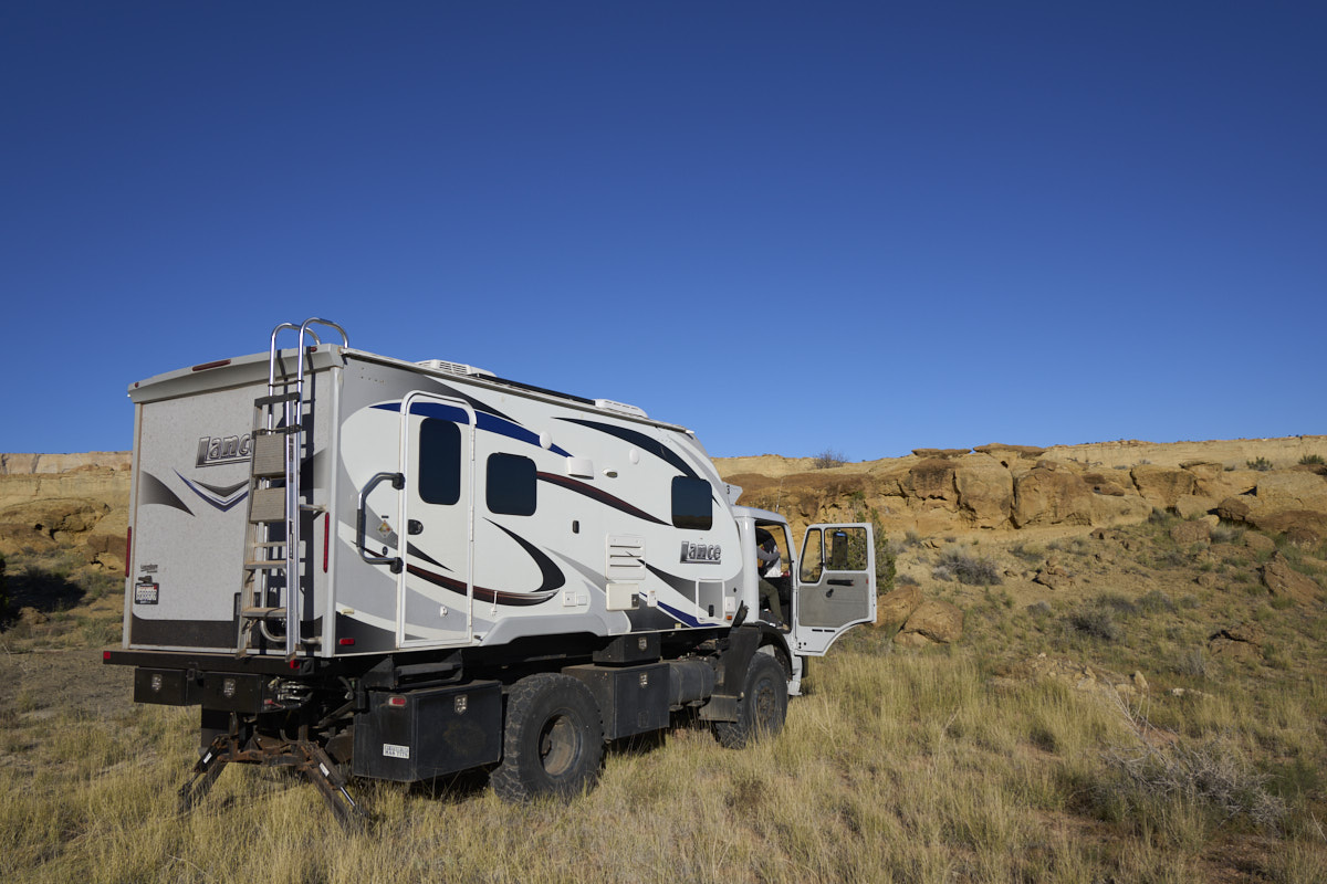
Thor was in a nice,
flat, sandy location.
We hunkered down in the camper as the wind increased. We got light showers during the balance of daylight; the real rain waited until it was hard-dark. It rained on and off all night, hard enough at times to wake us up. But, after dark there was nothing we could do about the rain, so we slept.
| Previous Adventure | ||
| Trip Home Page |
Photos and Text Copyright Bill Caid 2021, all rights
reserved.
For your enjoyment only, not for commercial use.