After
breakfast at the side of the road near Bear Ears, we headed west
toward Hite Marina on (what used to be) Lake Powell.
The photos below are what we saw.
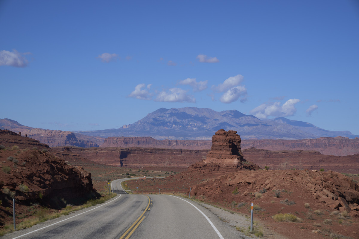
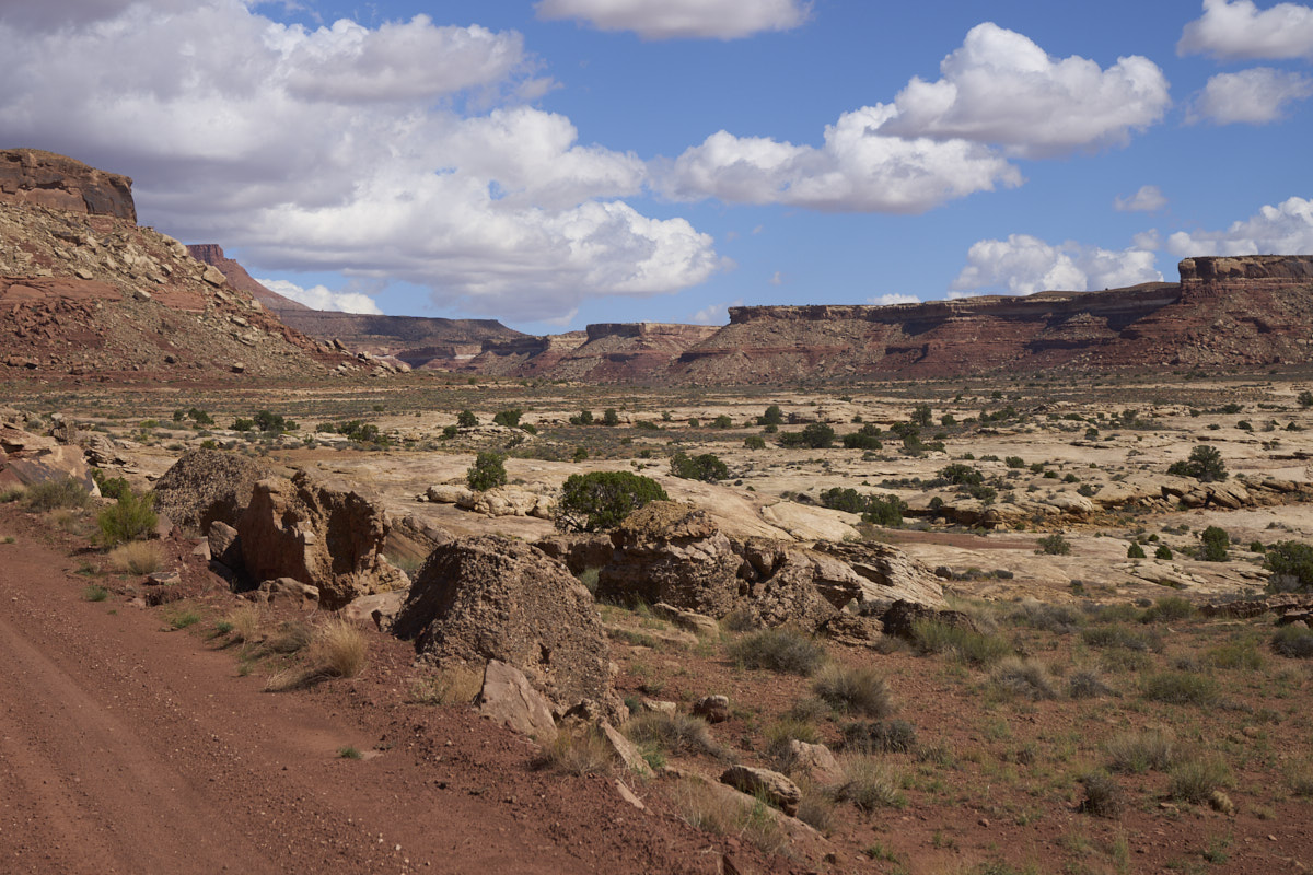
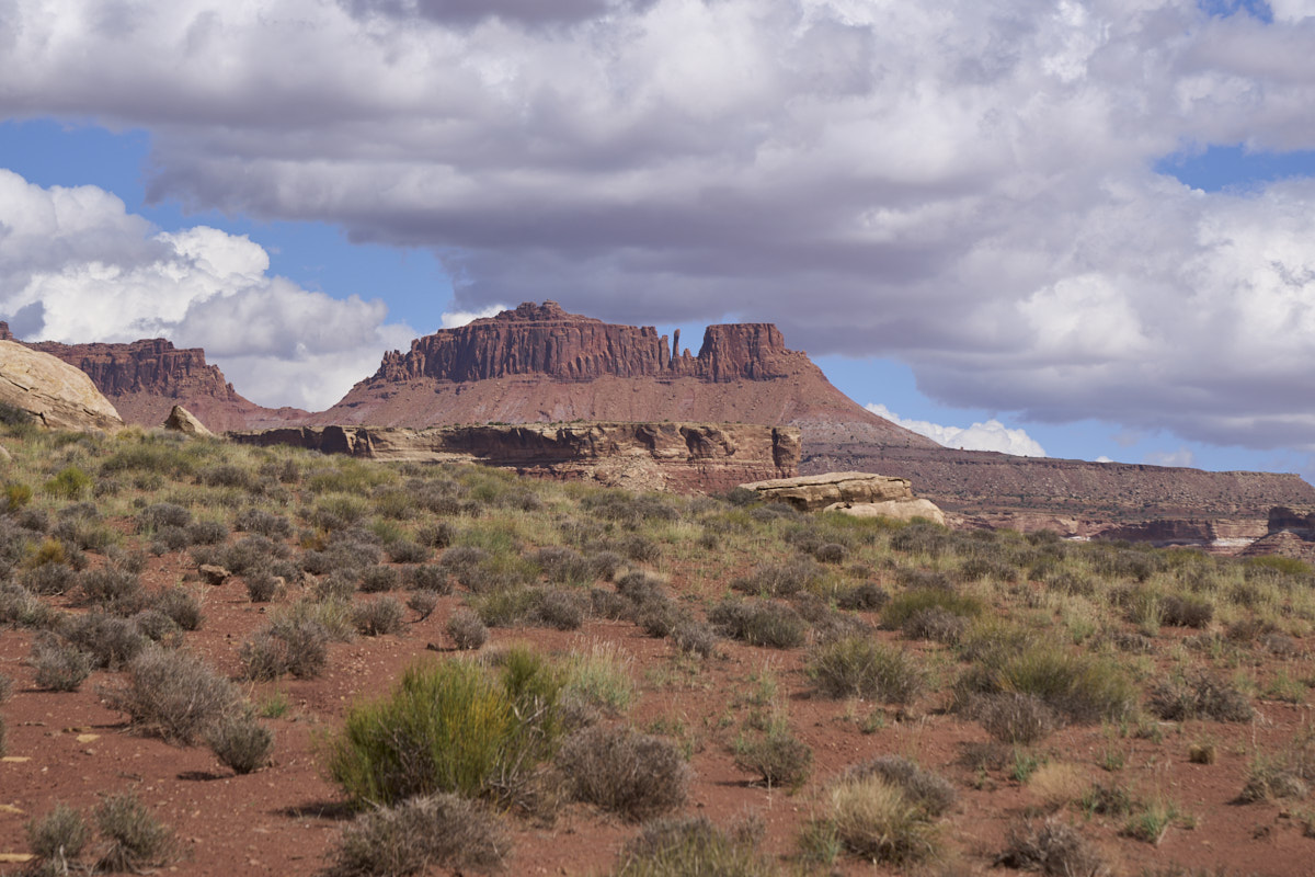
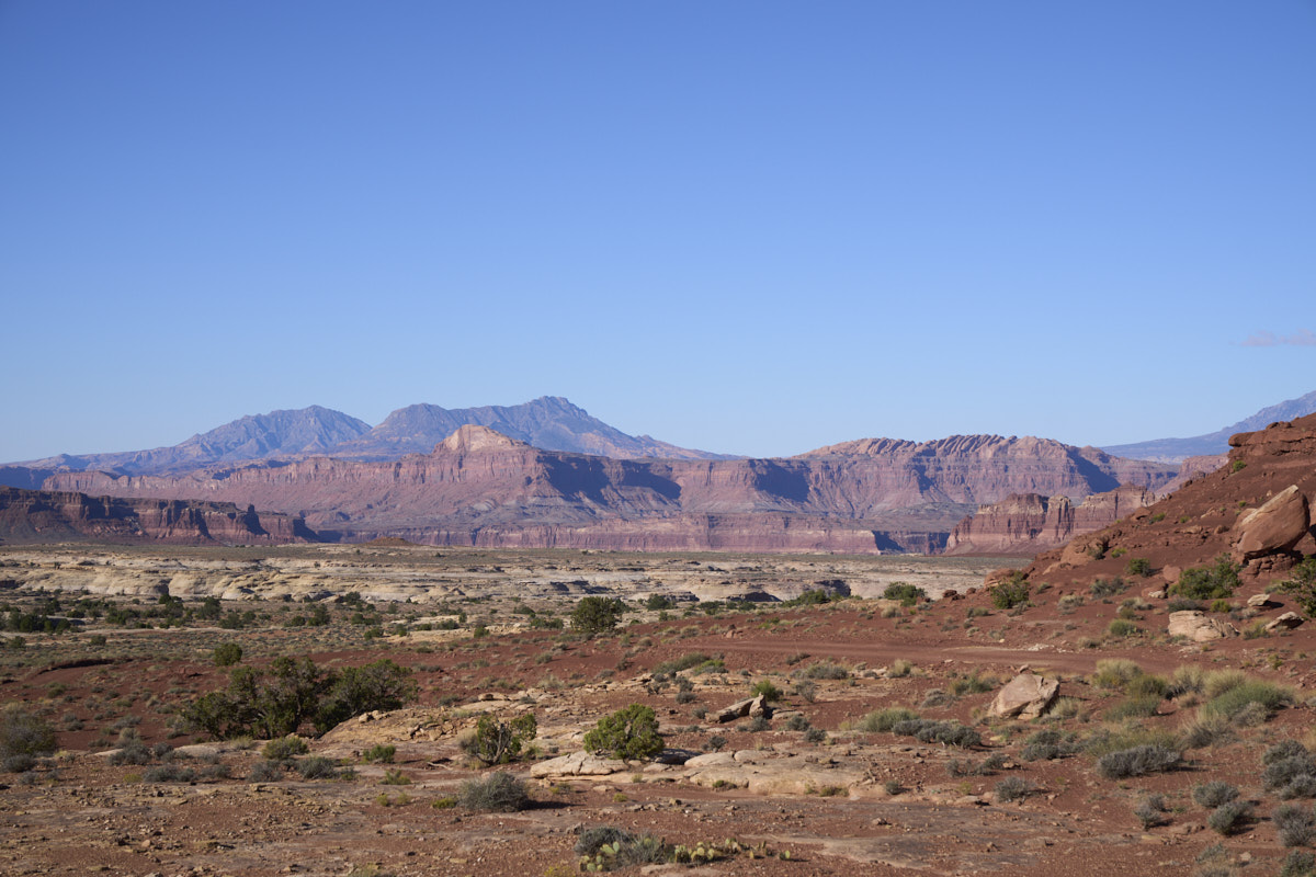
The
approach to Hite gave us a nice view of the southern portion of
the Henry Mountains. This is a remote area and the Henry
range were the last mountains in the CONUS to be explored.
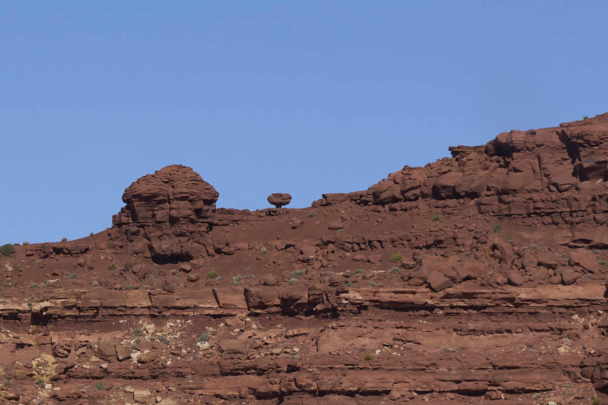
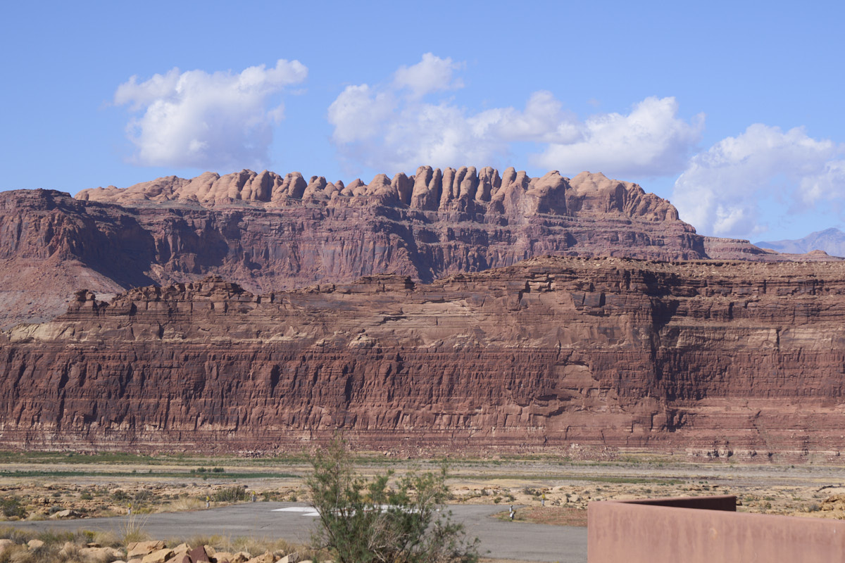
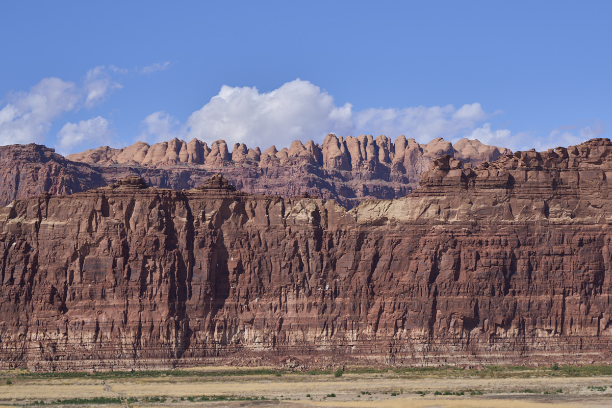
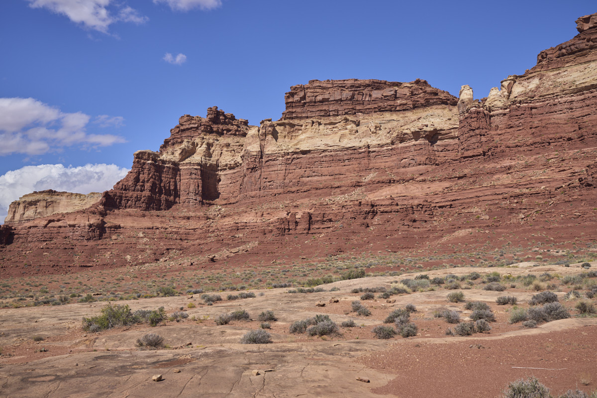
The
sandstone in the area produces nice hoodoos and balanced rock
formations.
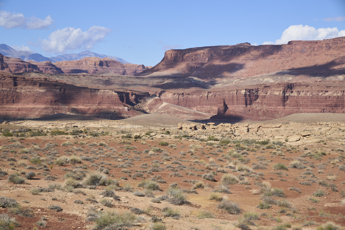
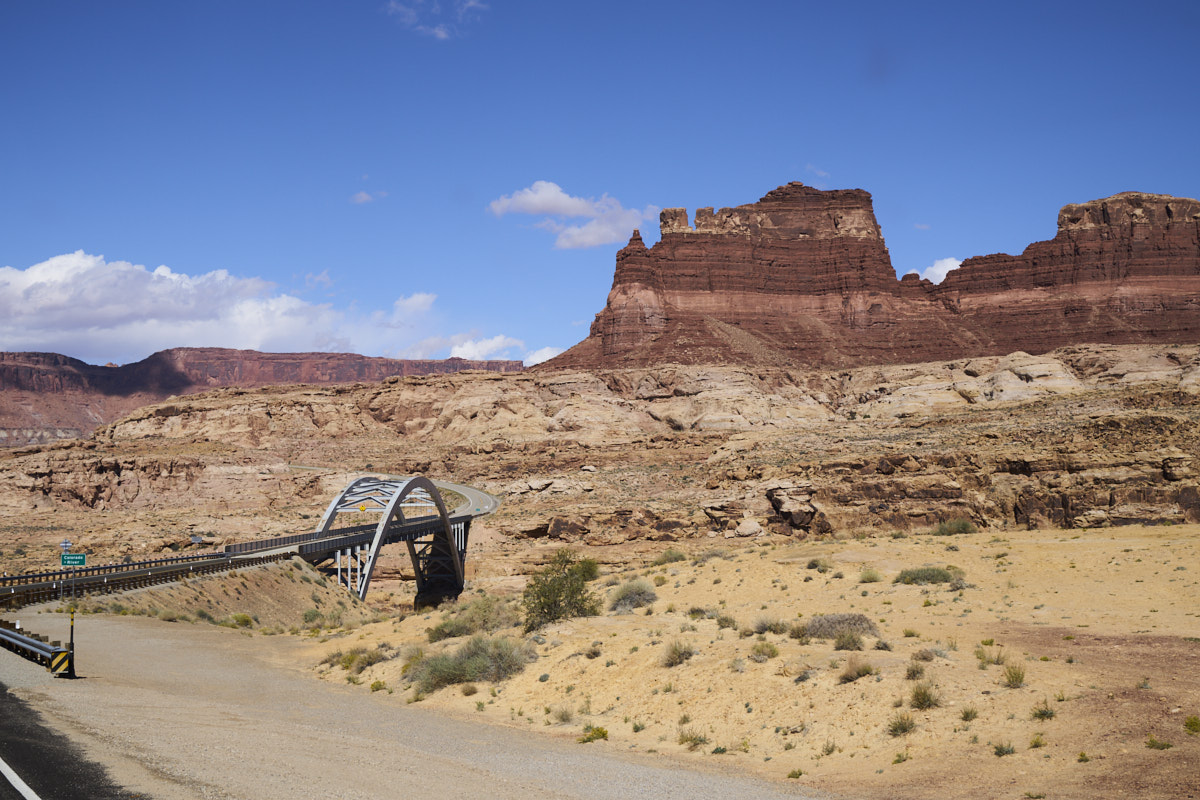
On the
far side of the Colorado River, the road has to ascend the
cliffs to get out of the river basin. The exit grade is
visible in the center of the photo above.
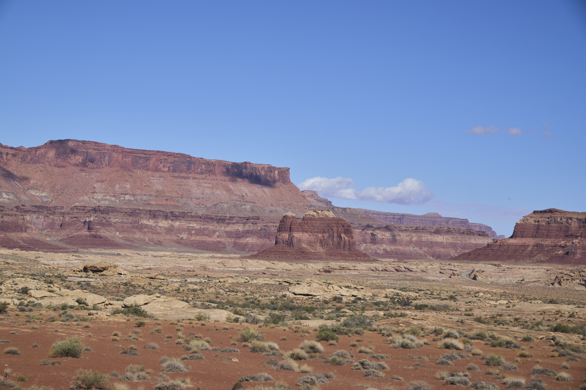
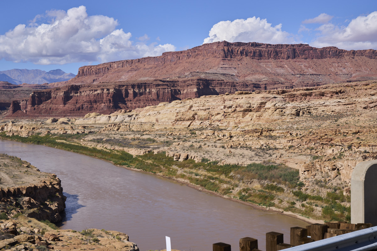
The
mighty Colorado River eroded both wide and narrow canyons.
From the
campground at Hite we could see the towering formations on the
opposite side of the river.
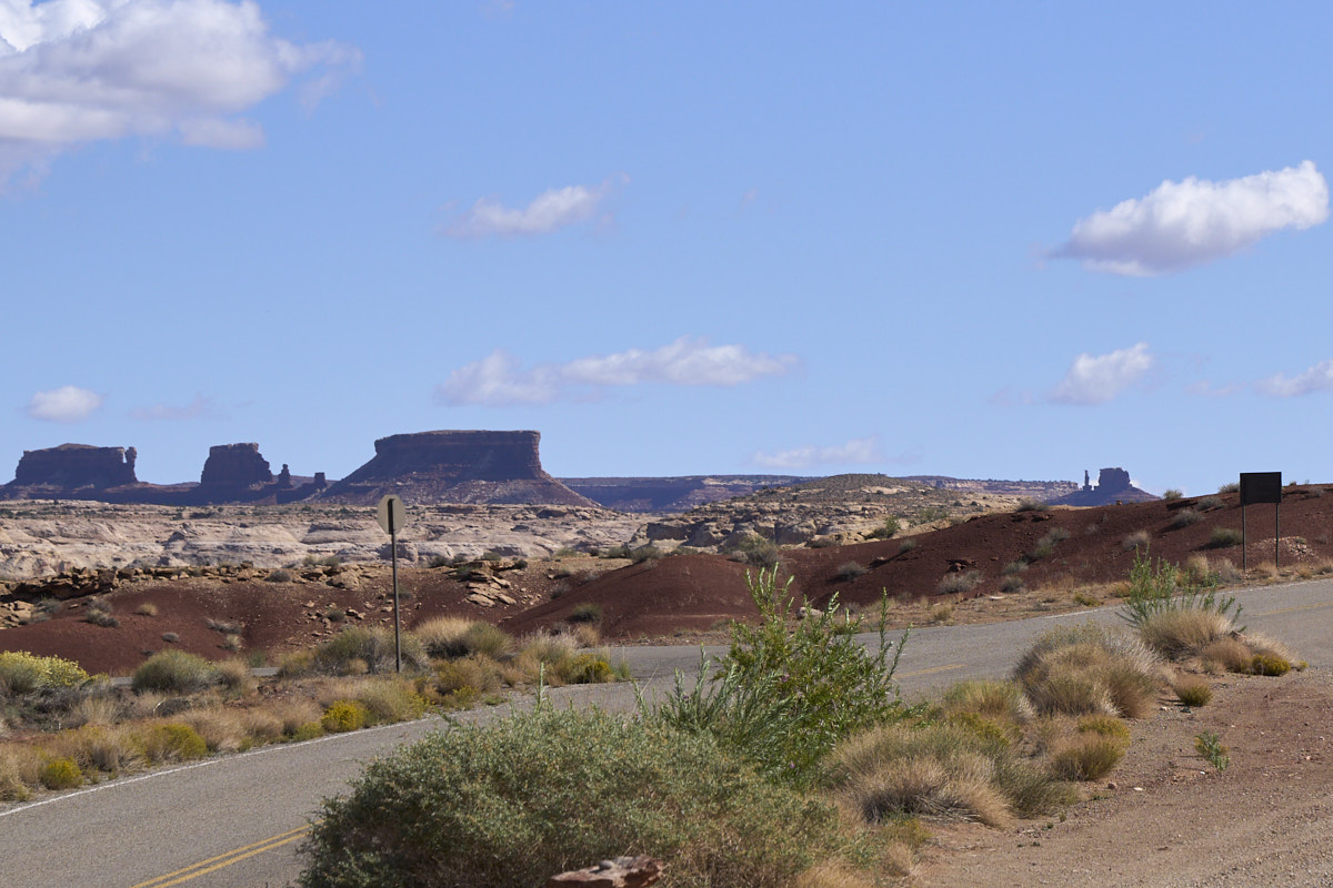
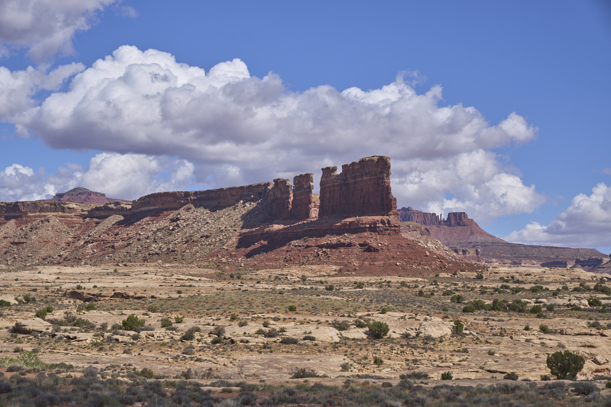
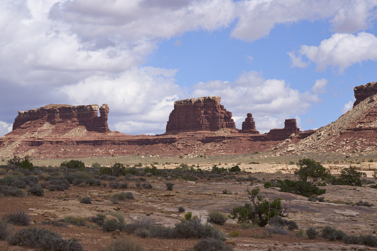
To the
east, we could see spires, hoodoos and mesas in the inner
canyon. The hoodoos on the left would be our target for
camping.
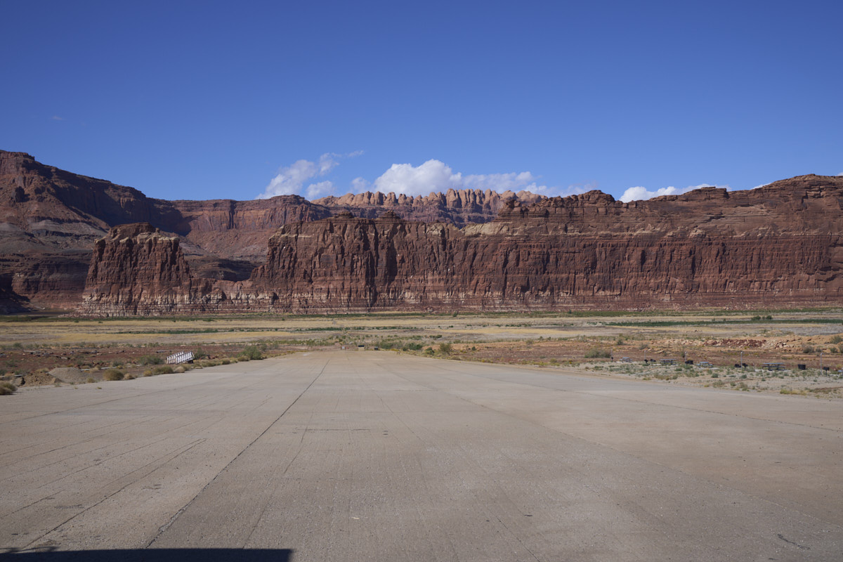
This
concrete ramp is the boat ramp for the Hite marina. The
only problem here is that there is no water. Lake Powell
is so low that the ramp has been isolated.
The
actual river is hidden behind some mud cliffs at the base of the
far canyon wall.
We left
the marina area and headed north of the highway to cross the
river.
From the
bridge the river was finally visible.
We
crossed the river to the north/west side and headed along a
trail on a sandstone bench giving us nice views of the cliff
walls.
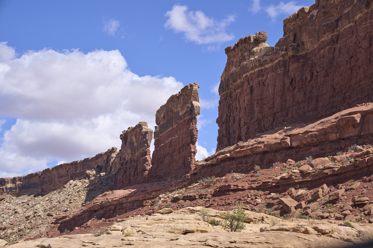
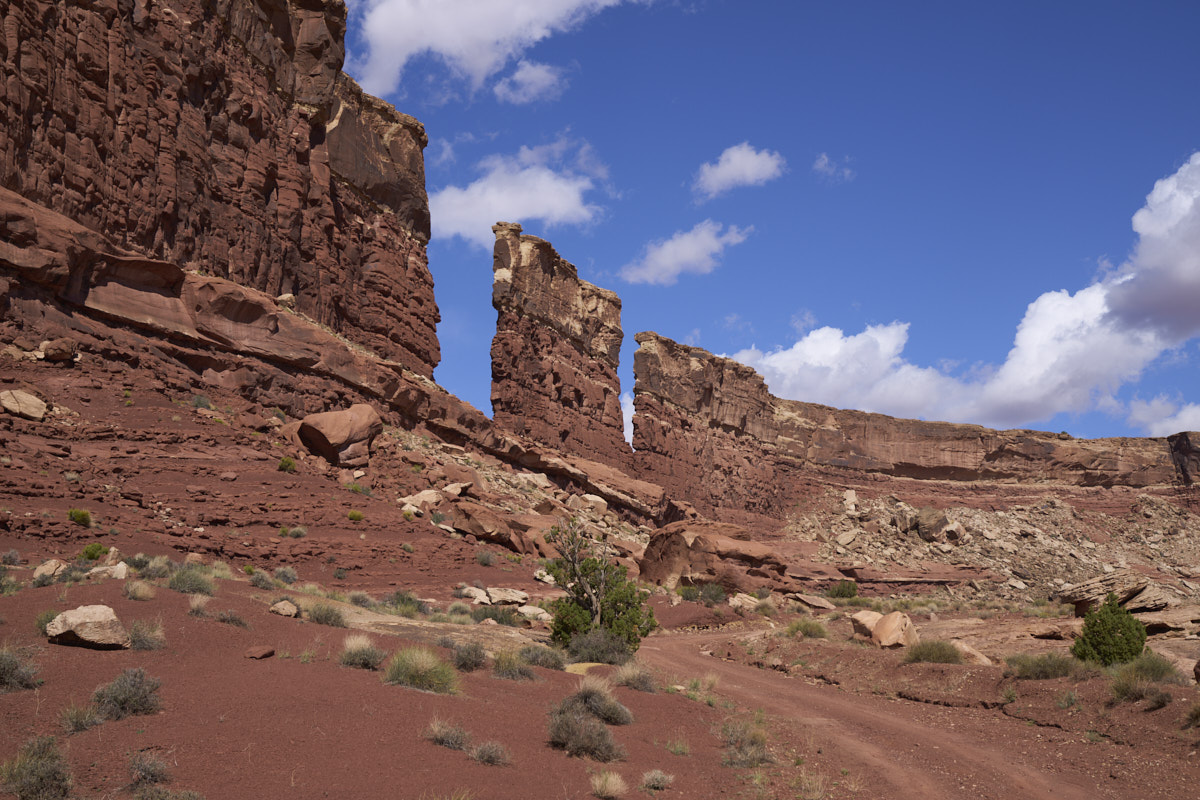
Our path
followed the bench and we went for many miles. The path
skirted side canyons and made a number of wash crossings that
would be very dicey if it rains. Note the thin fin in the
photo above.
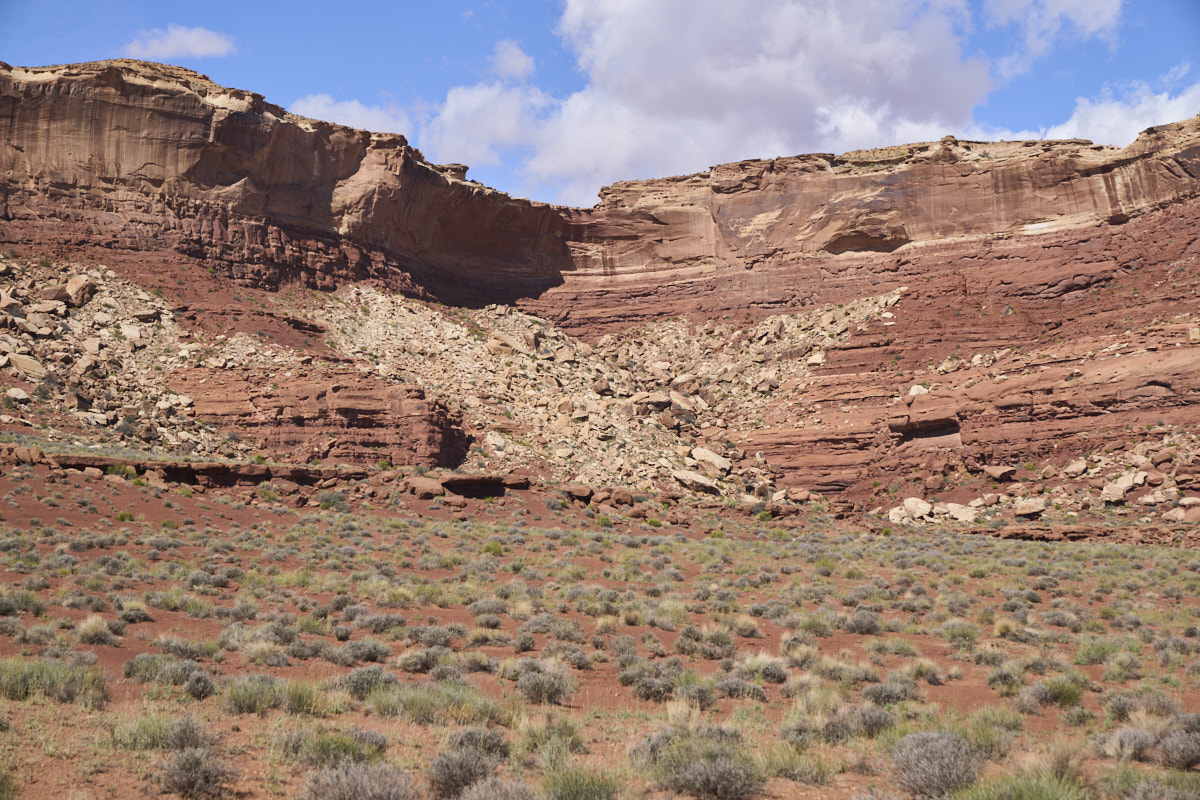
Alcoves
in the cliff walls are produces by collapse. Note the
debris under this alcove.
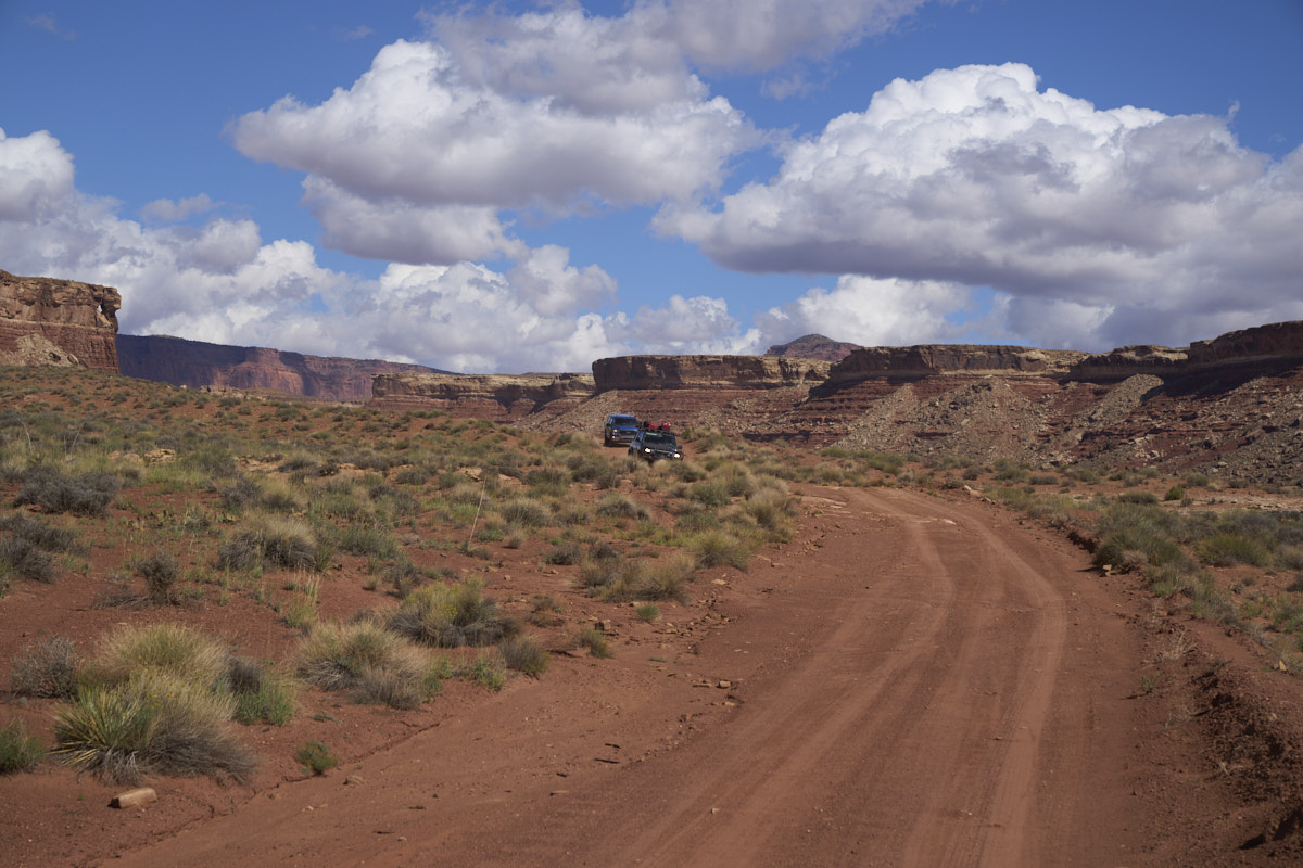
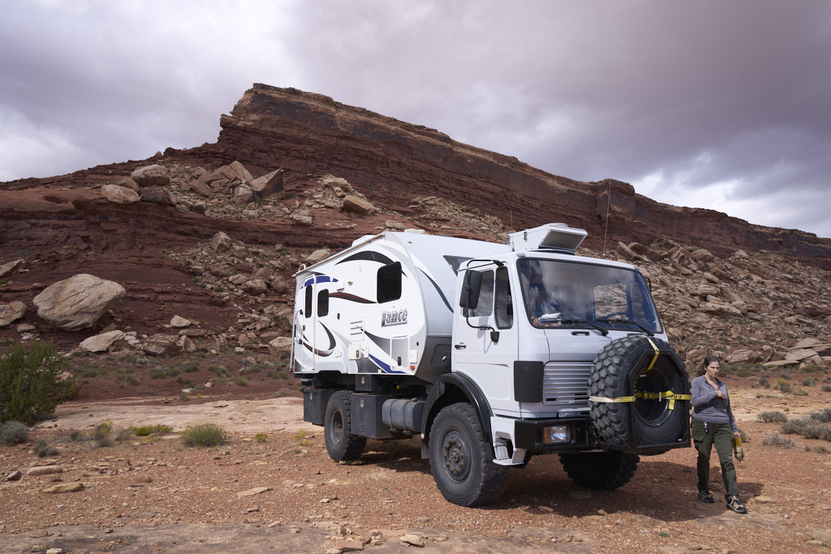
We only
passed these two jeeps on our journey to our camp.
We had
to skirt another side canyon, but the path gave us a view of the
thin fin.
We
finally rounded the headwall of the side canyon that allowed us
to get to the base of the thin fin.
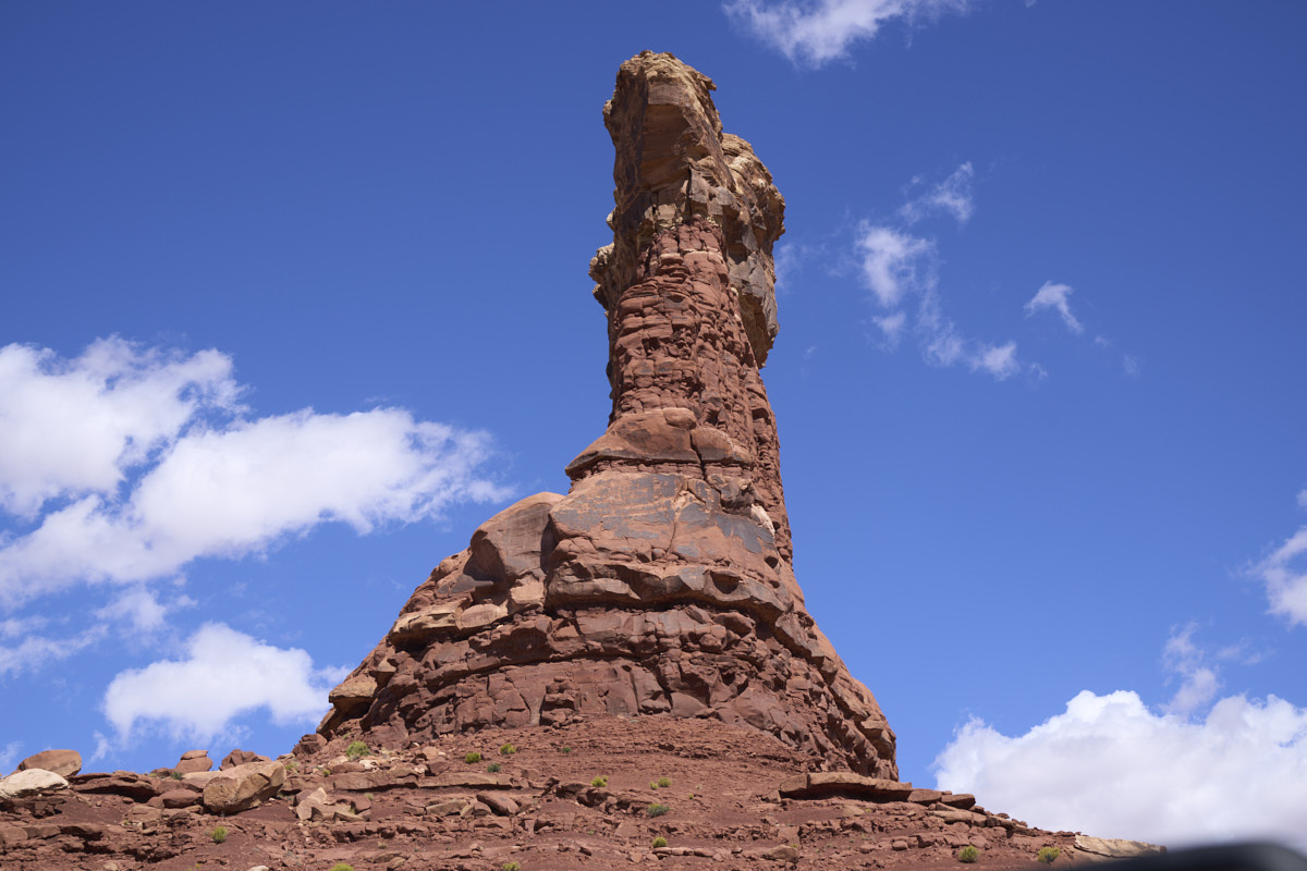
The
monument at the end of the fin towers over the trail.
From the sun side of the fin, the colors were more vivid.
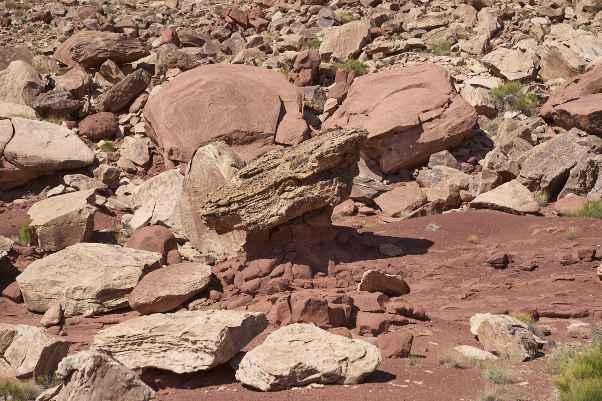
We saw
many balanced rocks. These formations are created when
hard caprock falls onto softer ground and the soft material is
eroded leaving the hard material. The hard cap protects
the softer material resulting in narrow necks.
At least one more side canyon to skirt.
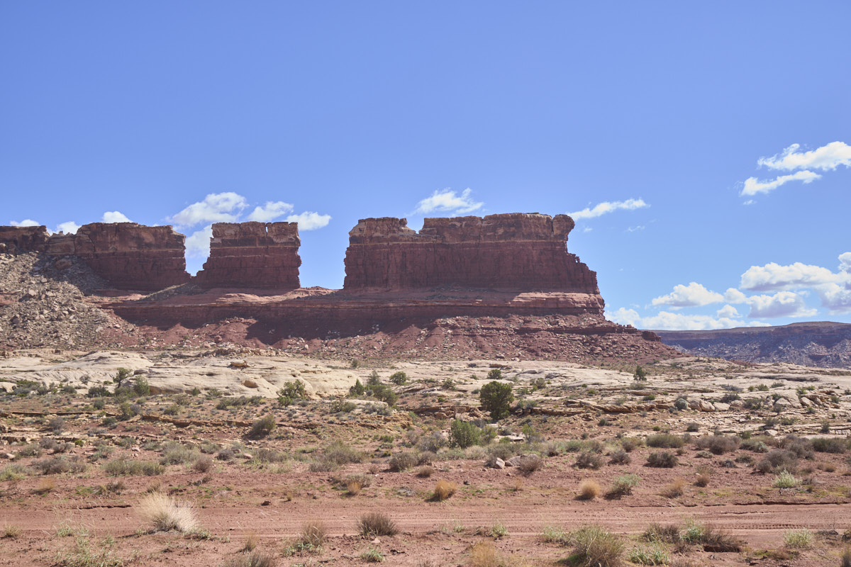
We
approached one of our navigational landmarks that was visible
from the Hite marina.
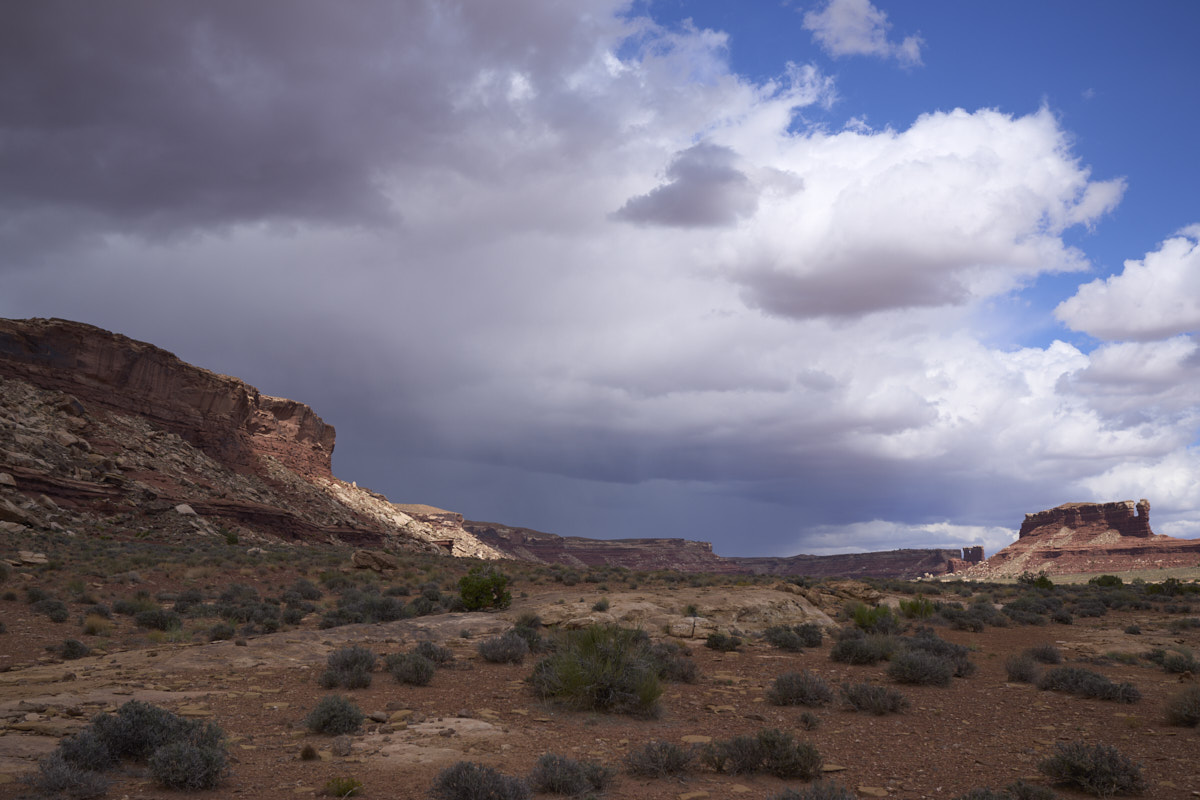
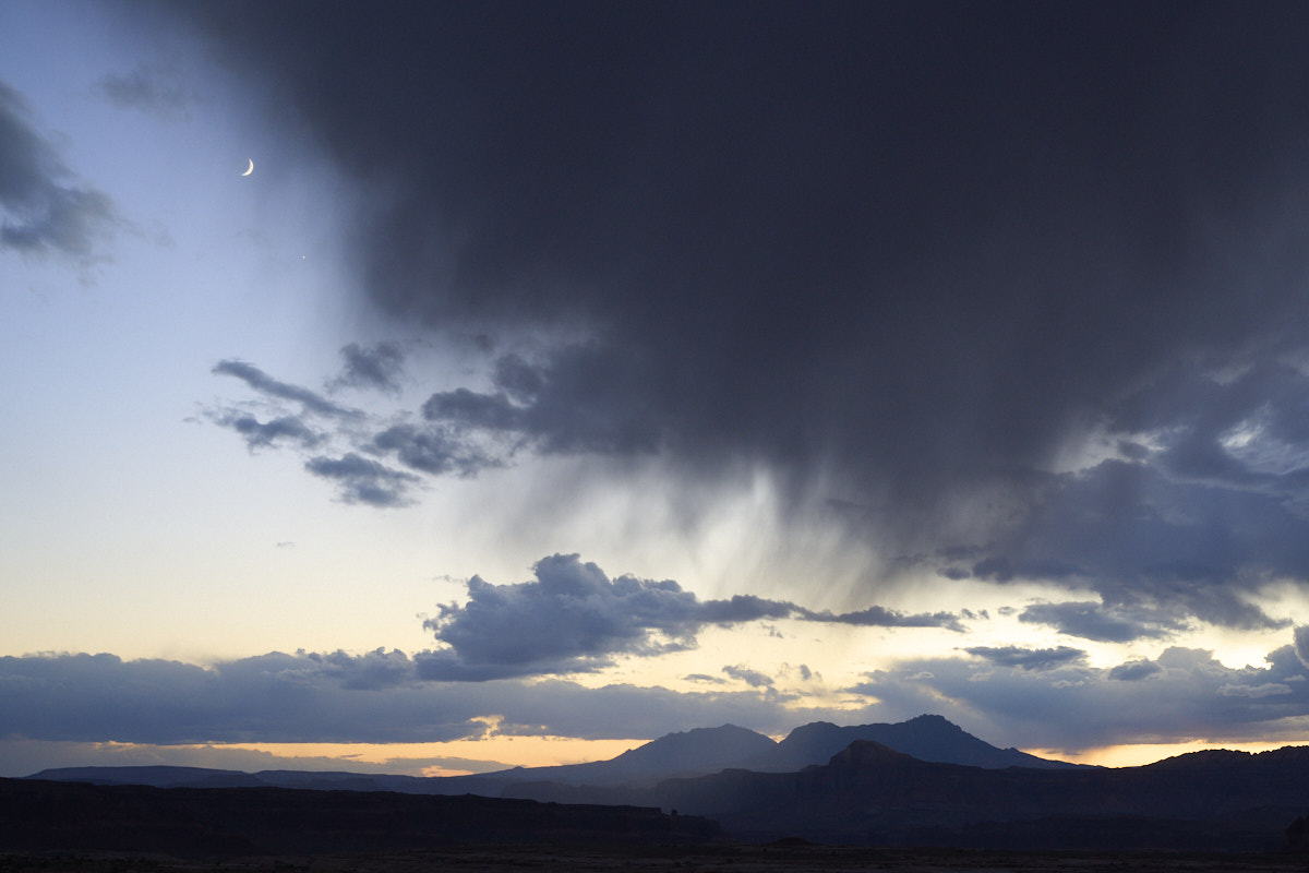
Weather
was moving in from the north. In the end, the presence of
the weather caused us to reconsider our final destination for
the day.
We
close-in on another landmark.
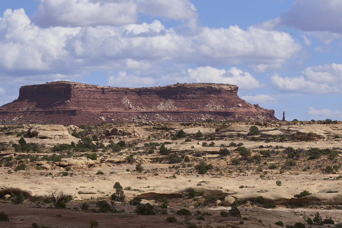
The
hoodoo on the right was our final navigation landmark.
We
pulled off the trail onto a hard, flat sandstone bench.
The bench was not in a water path and should not sag when the
rain arrives.
The
morning was clear and sunny. We broke camp and worked our
way back toward Hite along the sandstone benches. Several
of the wash crossings on the side canyons showed evidence of
water, but none were actively flowing when we crossed.
The Lake
Powell area is one of my favorites and has stunning
scenery. It is best experienced from a houseboat on the
lake or via a four wheel drive vehicle.
Next:
Capital Reef.
| Previous Adventure | ||
| Trip Home Page |
Photos and Text Copyright Bill Caid 2021, all rights
reserved.
For your enjoyment only, not for commercial use.