Our
travel path took us from Radium, CO to Leadville, CO to visit my
great niece Rachel, her husband Jimmy and their children.
The photos below are what we saw.
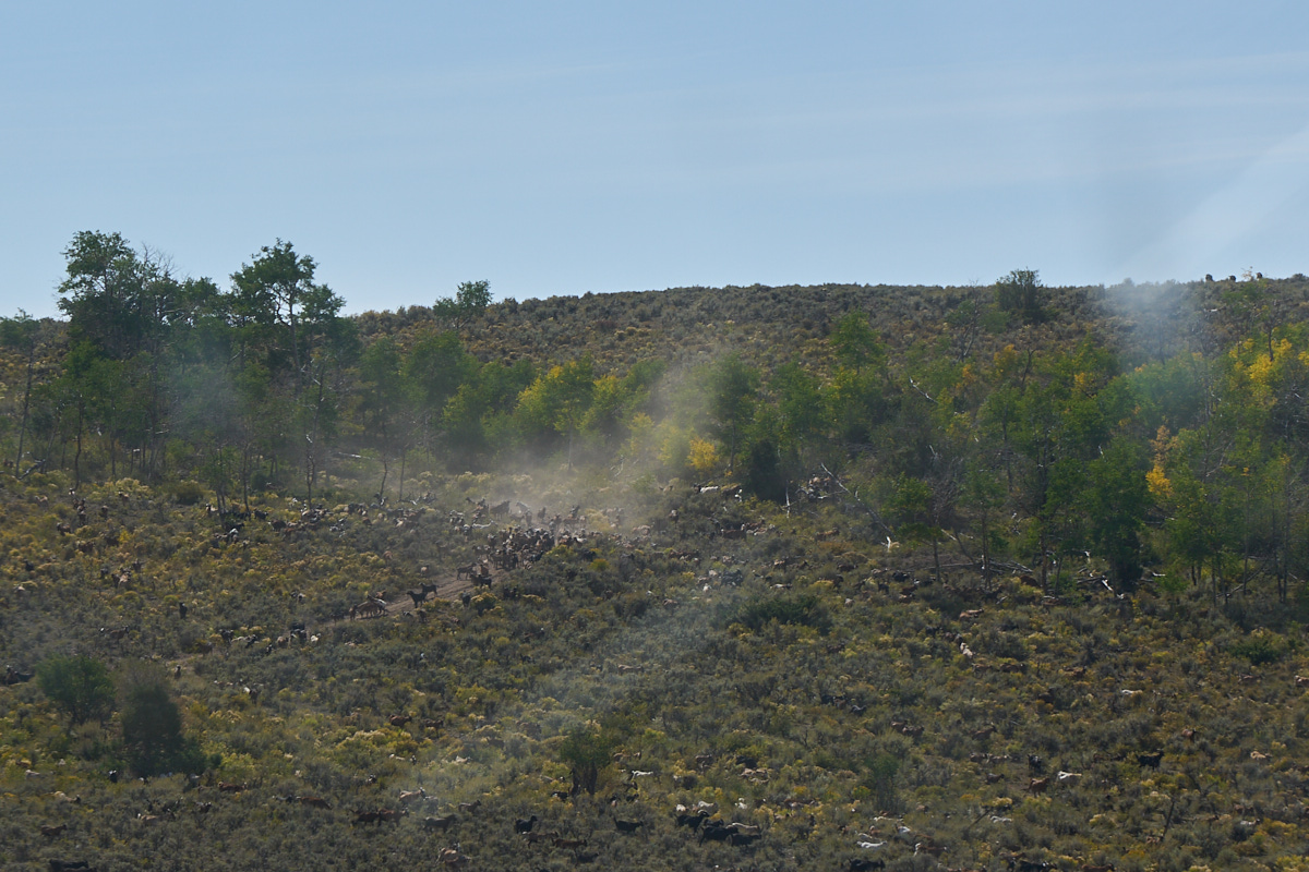
As we
were traveling along the highway, we spotted some large clouds
of dust being raised on the side of the hill. On closer
inspection, we noticed that the dust was due to thundering herd
of goats. Look closely as there are a large number of
them.
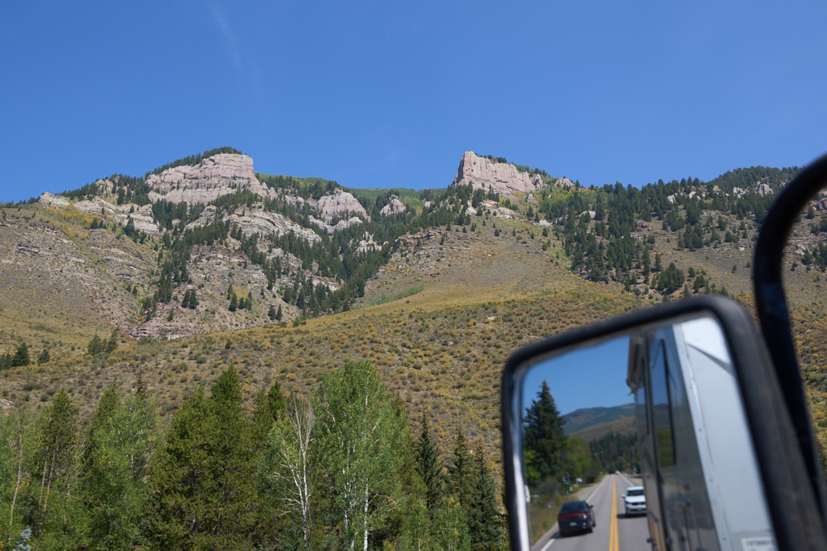
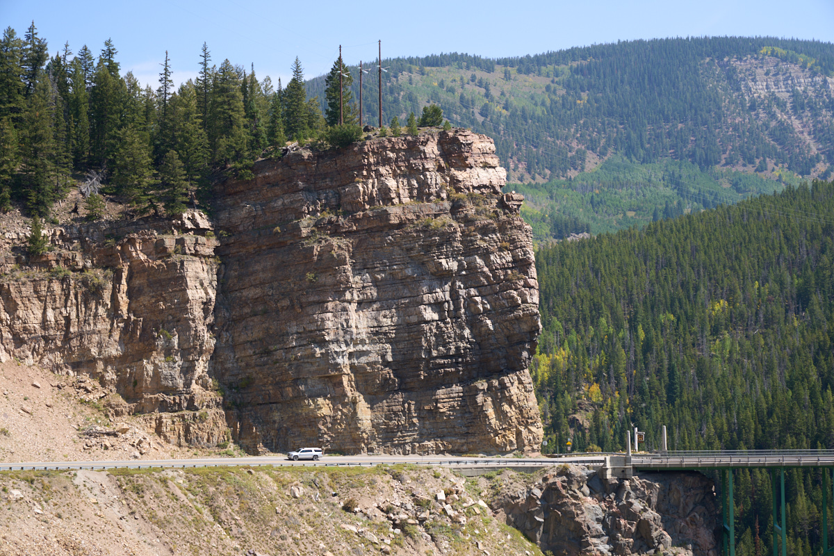
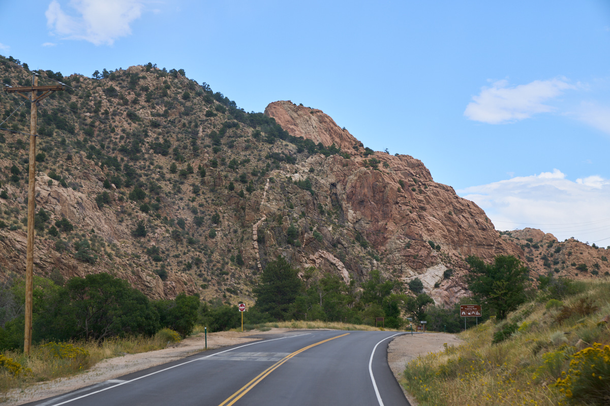
We
continued east through Edwards and then started up the steep
grade on US 24 to Tennessee Pass. To our left were huge
cliffs and outcroppings towering over the Minturn Canyon.
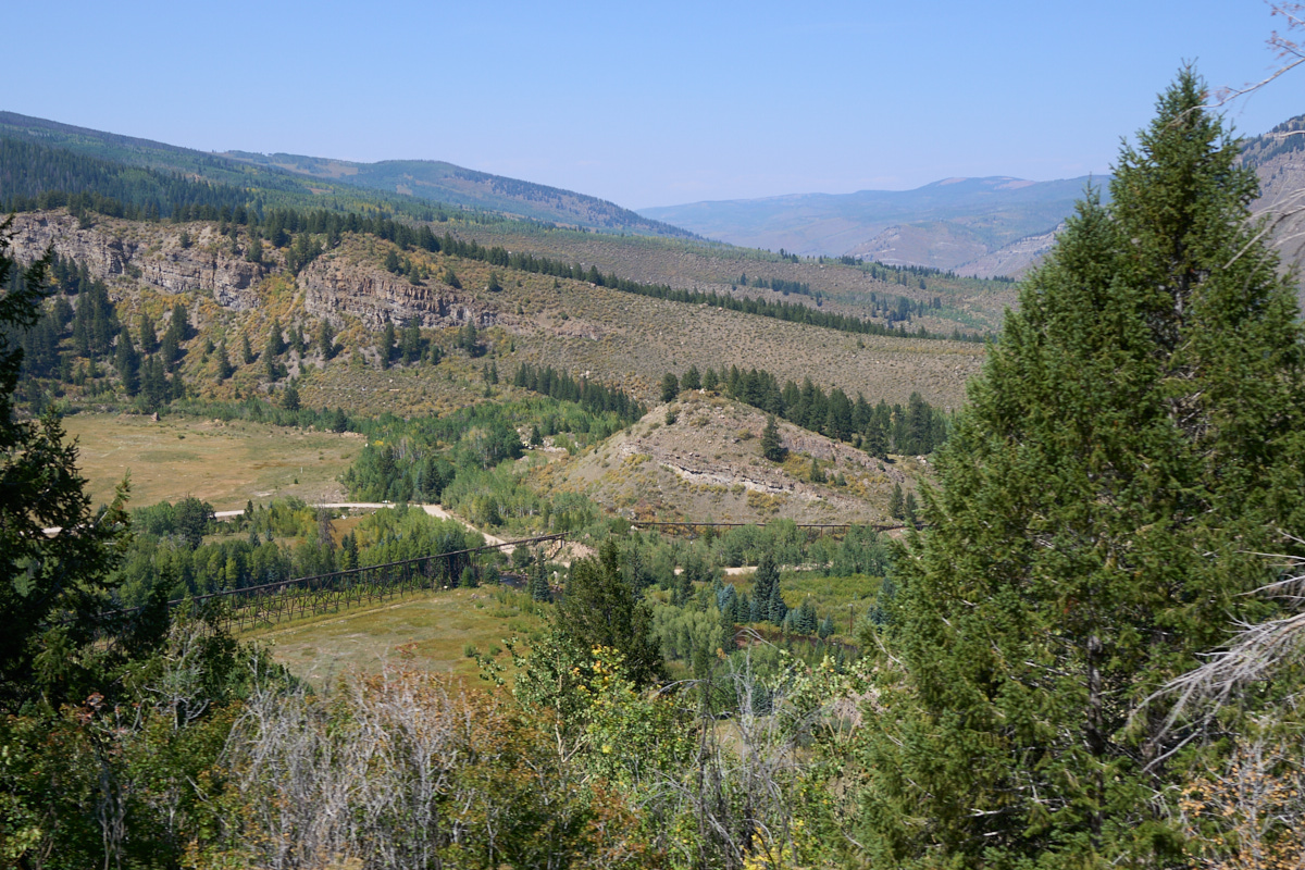
To the
south of our path, we could see a bridge used to support a
pipeline (presumably water).
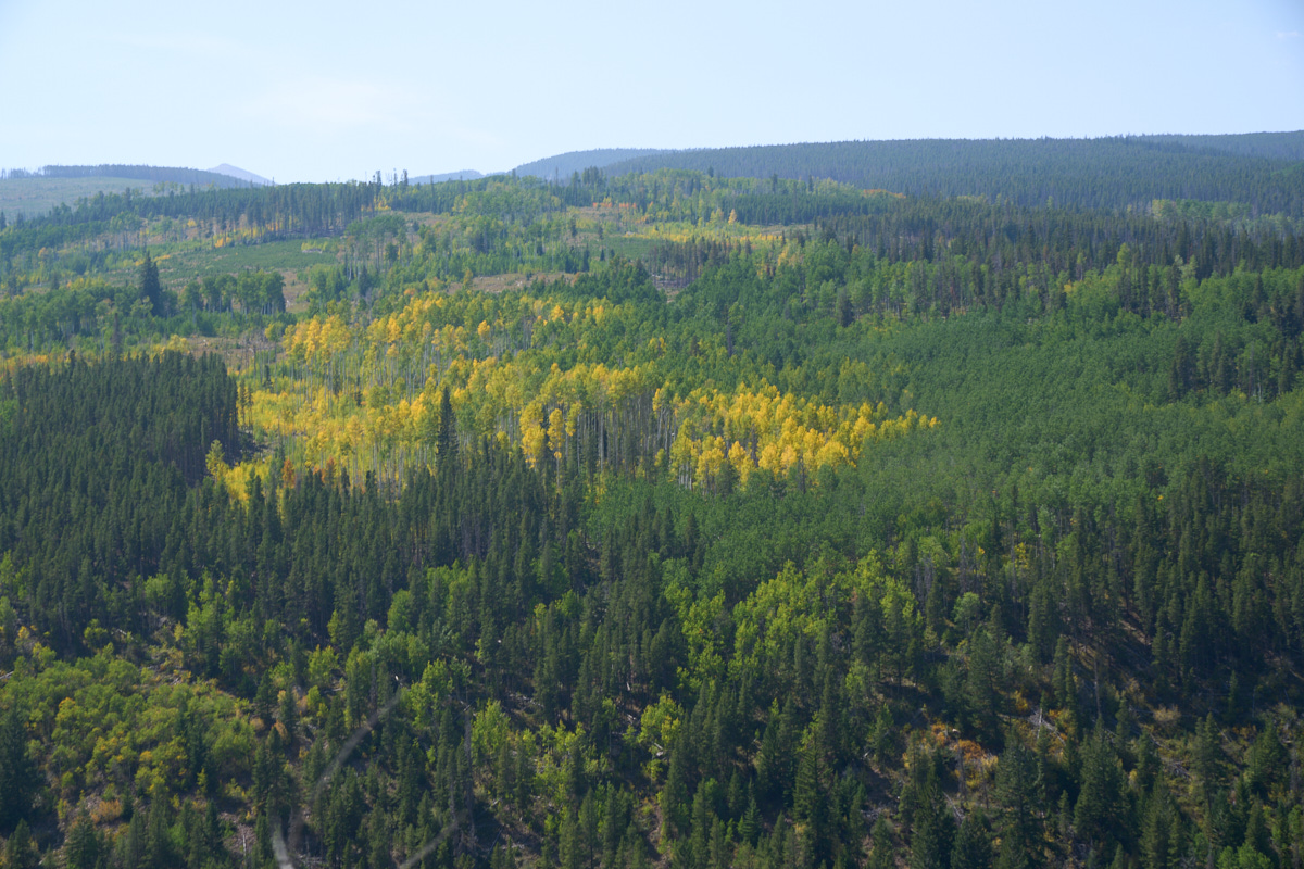
While
still early in the fall, the Aspens were turning yellow.
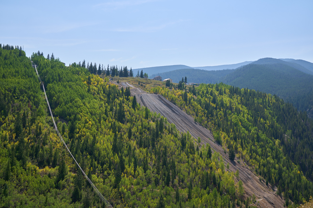
Further
up the steep grade, we came upon a large mine that had been
abandoned. While the mine may be inactive, the spoil from the
operation was clearly visible on the hillside and was an
eyesore.
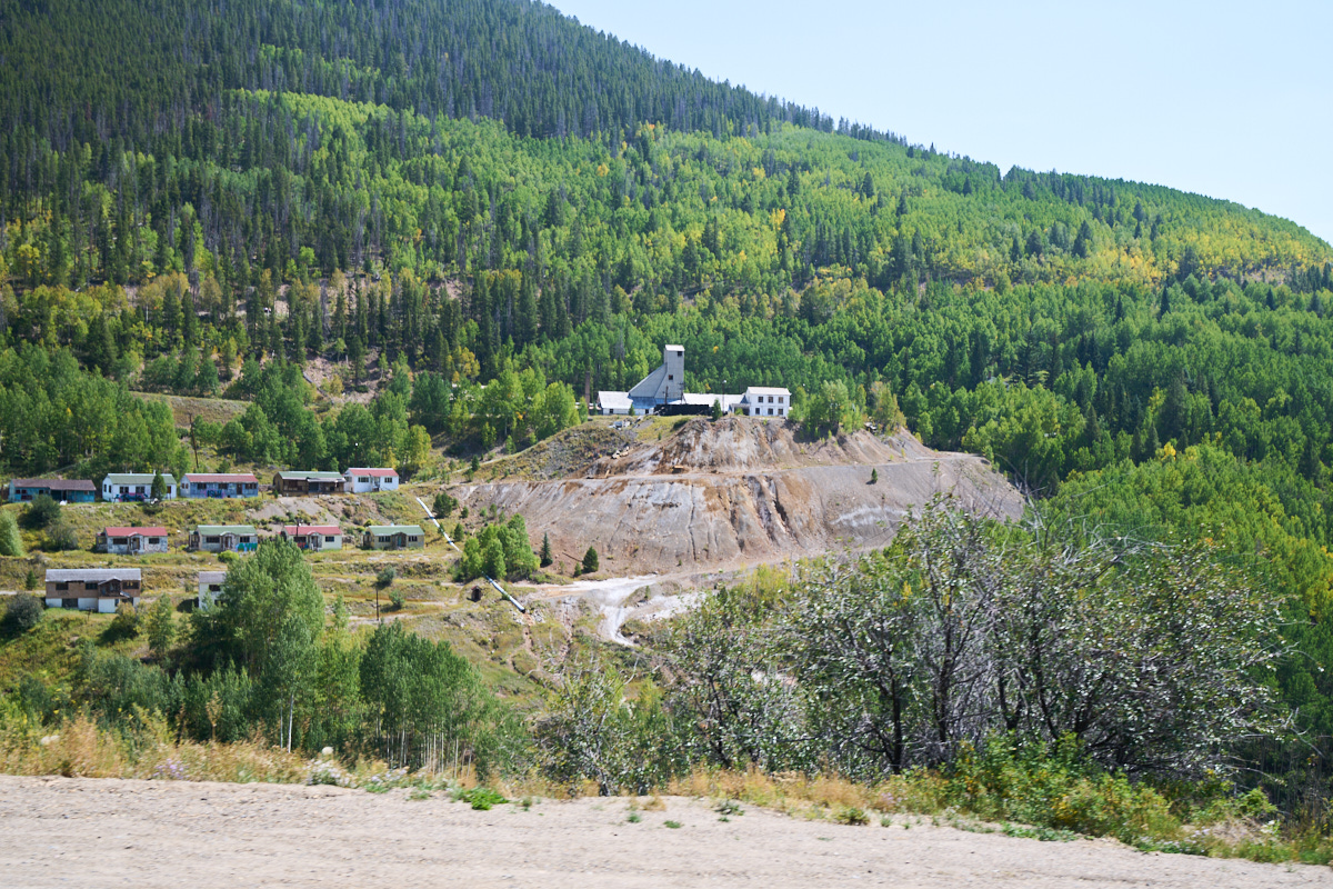
Even
further up the grade we came to another, much larger, abandoned
facility. All of the old living structures were condemned
and marked with signs warning against entry.
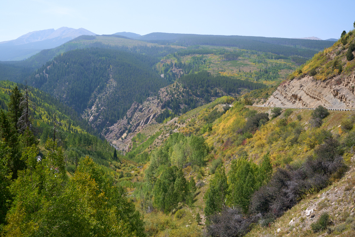
As we
proceeded up the grade we were rewarded with nice views of the
surrounding canyons. The wildfire smoke was still present, but
much less pronounced that the previous few days.
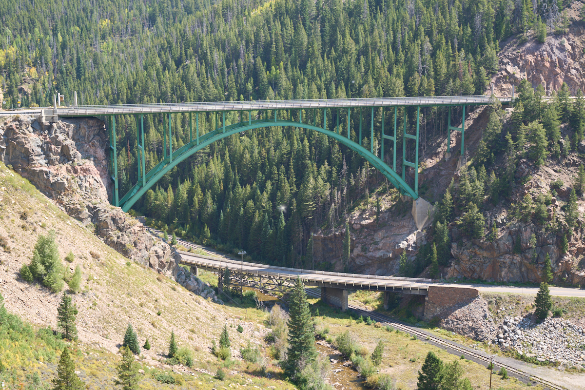
Near the
first false summit we came to a huge bridge spanning the canyon.
This intersection had 3 levels of transportation: 2 automobile
bridges and a railway at the bottom of the canyon.
From our
stopping point, we could see the huge outcroppings of stone that
clearly showed the layering of the rock deposited in the past
eons.
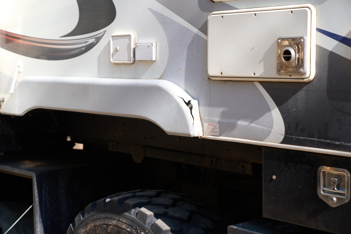
To make
the sharp turn into Jimmy and Rachel's place outside of
Leadville required several attempts. I could clearly see the
trees that were obstacles to our progress, but failed to see the
long eye-bolt sticking out from one of the trees. The eye-bolt
was a victim as it was bent by Thor, but not before creating
some damage on the side of the camper and on the fender skirt.
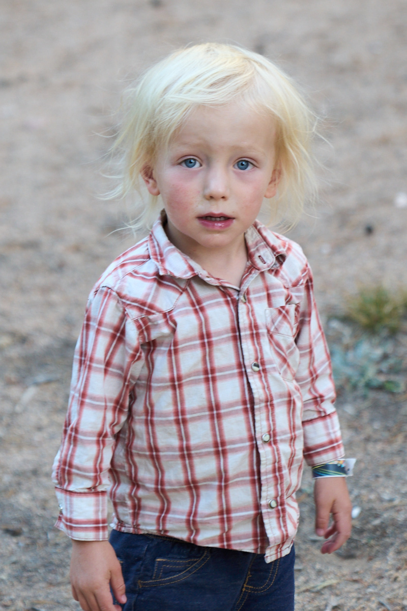
Bridger
was under the weather, thus the dull smile.
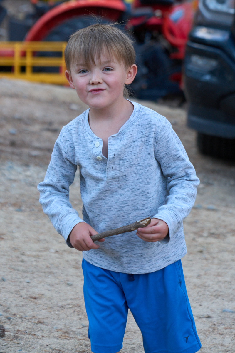
Bridger's
older brother Rigel.

Creston,
the youngest of the crew.
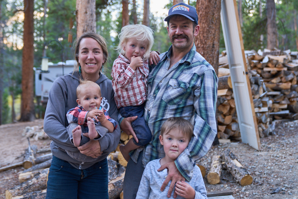
A photo
of the entire family.
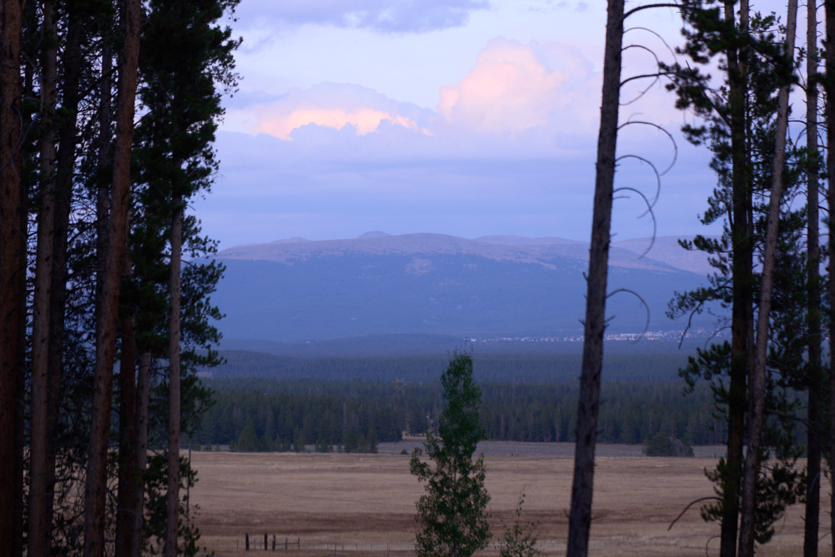
There
place has a nice view of Leadville through the trees.
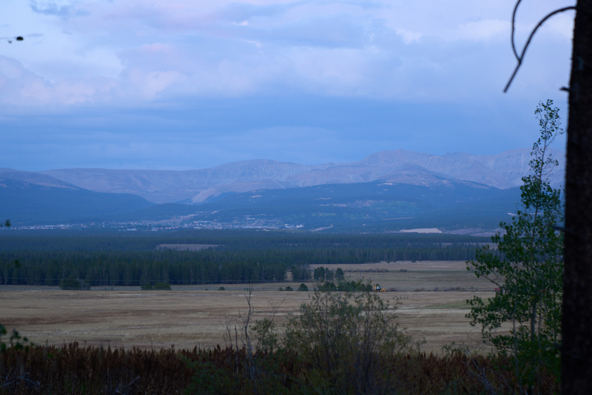
The
southern portion of Leadville was visible past the treeline.
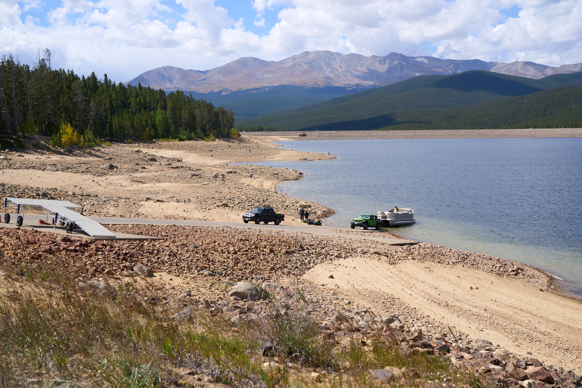
After
several days it was time to move on. On our exit from the area,
we decided to check out Turquoise Lake. I was dismayed, but not
surprised, to see the lake level was well below full pool.
Leadville is at 10,000 feet and even at this high altitude the
area was not immune from the drought.
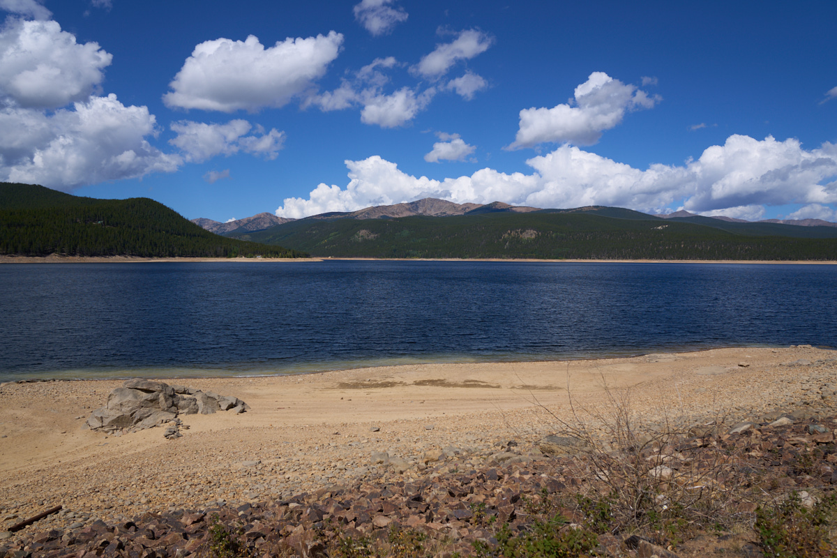
The far
mountain peaks were bright and clear in the morning sunshine.
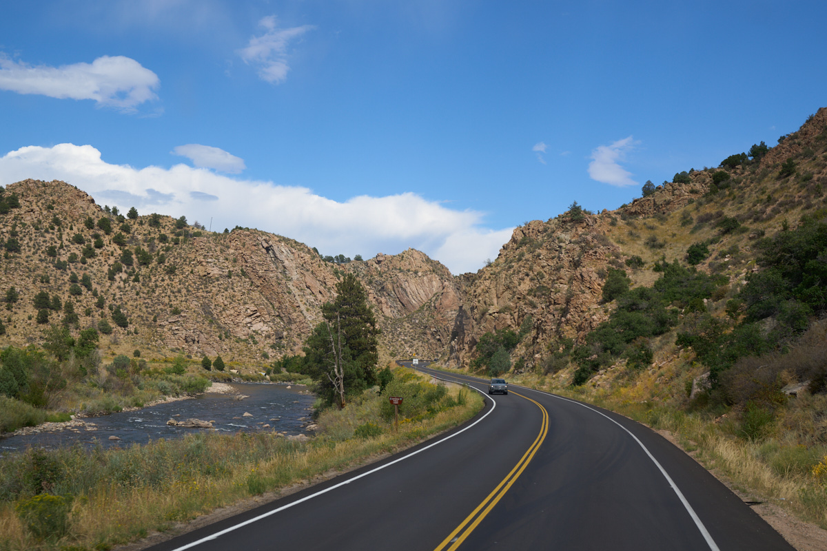
We
headed south from Leadville and then east along the Arkansas
River. The Arkansas River canyon walls were steep and imprinted
with evidence of a violent past - large granitic intrusions were
visible in the canyon walls. Note the white stripes of the
intrusions in the brown rock.
This
portion of the canyon showed vertical bedding due to uplift.
This river is popular with rafters, kayakers and fishermen and
the highway is very busy on a normal weekend.
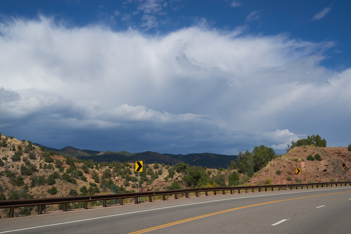
Closer
to Canyon City, we could see thunderheads building to the north.
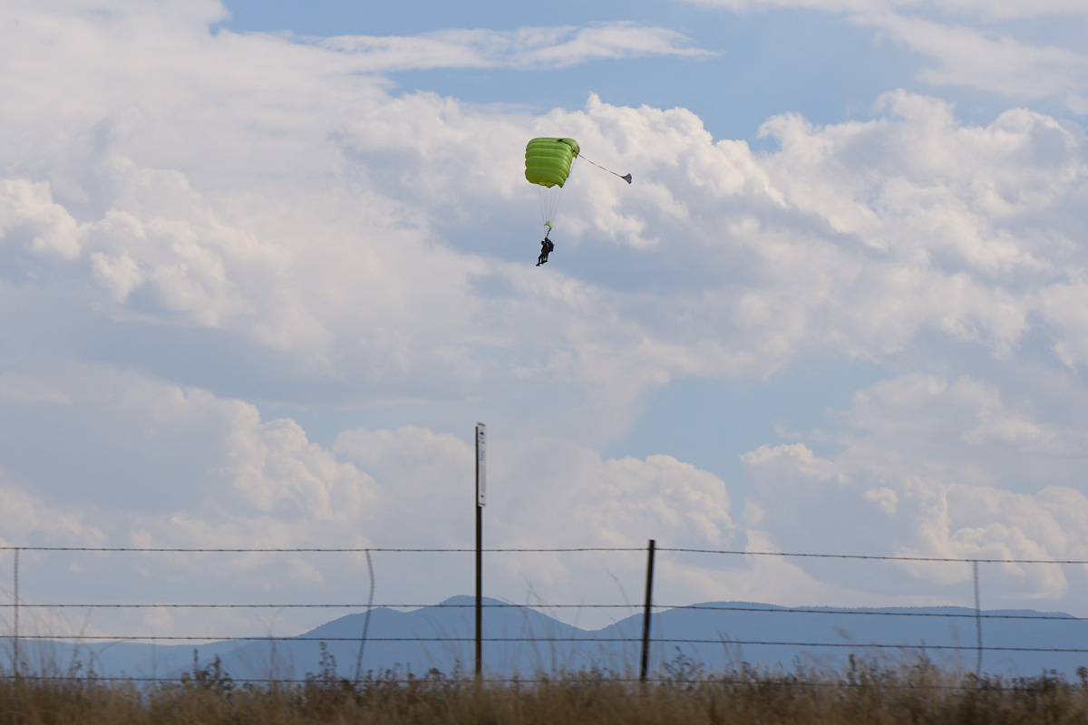
To the
east of Canyon City near the airport we spotted parachutists
descending. Note that there are four legs in this photo - this
was a guided excursion for a tourist.
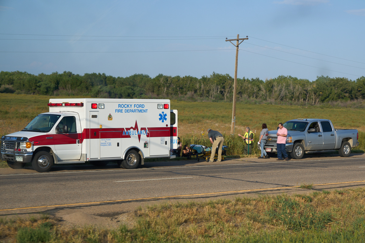
We
continued east past Pueblo, CO toward La Junta (our final
destination for the day). Near Rocky Ford, we noticed a ruckus
on the opposite side of the highway. It appeared that a car had
driven off the road and into a ditch resulting in several
injuries.
| Previous Adventure | ||
| Trip Home Page |
Photos and Text Copyright Bill Caid 2021. All rights
reserved.
For your enjoyment only, not for commercial use.