Our
stay with our friends Bob and Sandy in Cody was coming to a
close. We had been subjected to a number of days of heavy
smoke from the western wildfires, so visibility of the local
mountain ranges was severely impaired. We said our
goodbyes and headed south toward Colorado.
The photos below are what we saw.
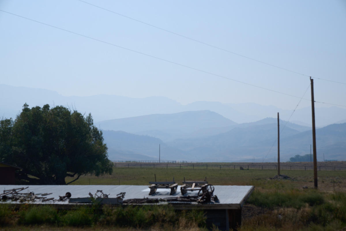
This
shot shows the extent of the smoke in the air. Normally,
the pristine air in this area gives outstanding views of Carter
Mountain and the Absaroka Range. Today, the high peaks
were barely visible through the smoke.
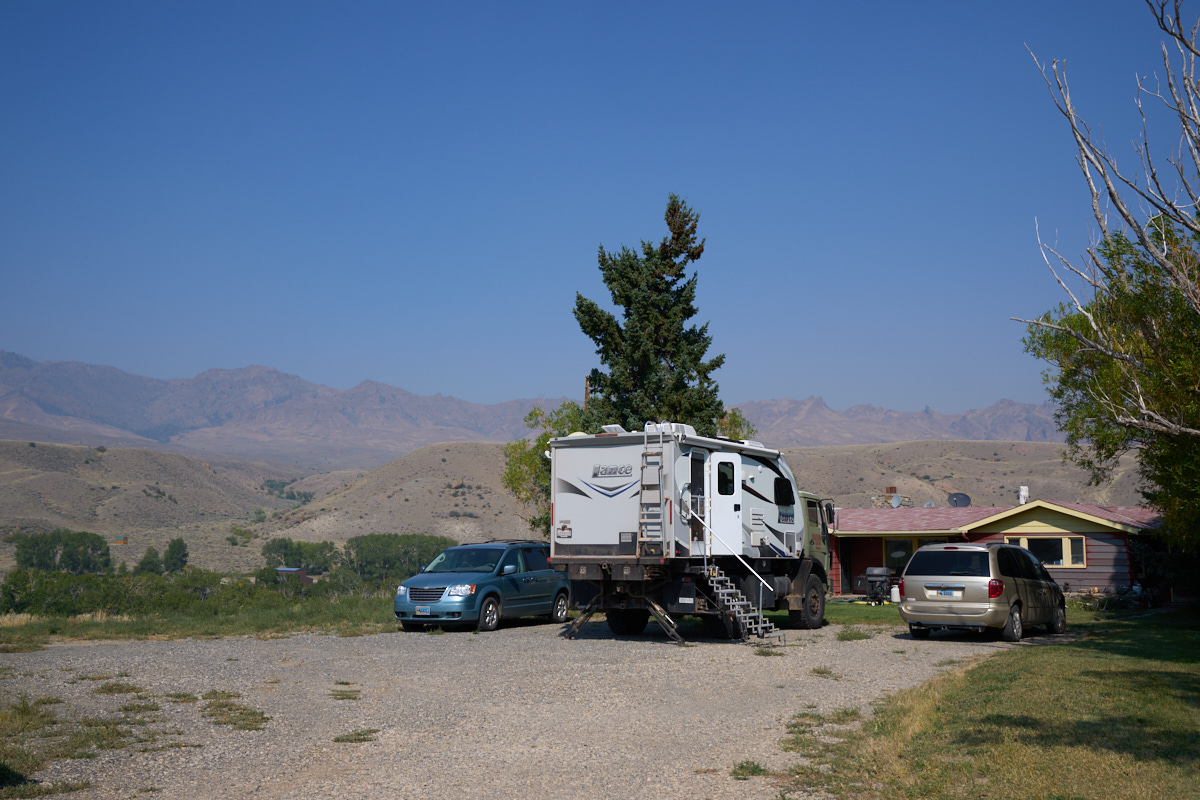
Looking away from the sun, the visibility look better, but the
air was thick with smoke. We completed our pre-departure
actions and headed out.
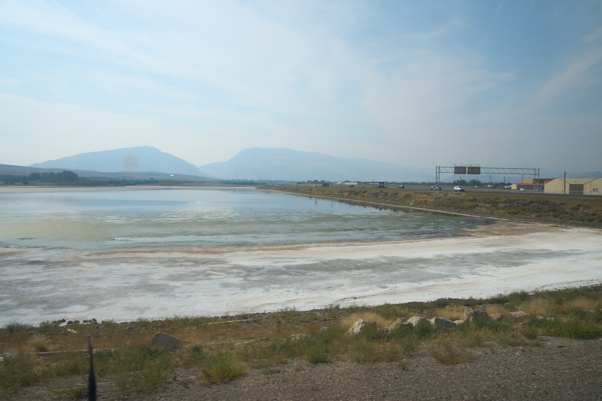
On the
east side of Cody we could see the effects of the extended
drought on a local water storage area. The concentrated
salts in the water turned the ground white. This area,
like most of the West, has suffered from the extended drought
and these salt deposits are but one of many examples of the
impact of the drought.
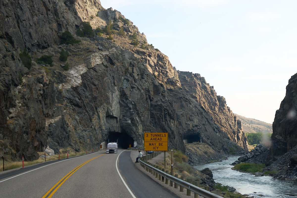
We
followed the Big Horn River south through the gorge in the Owl
Creek Range. The Big Horn was flowing well below normal
for this time of year.
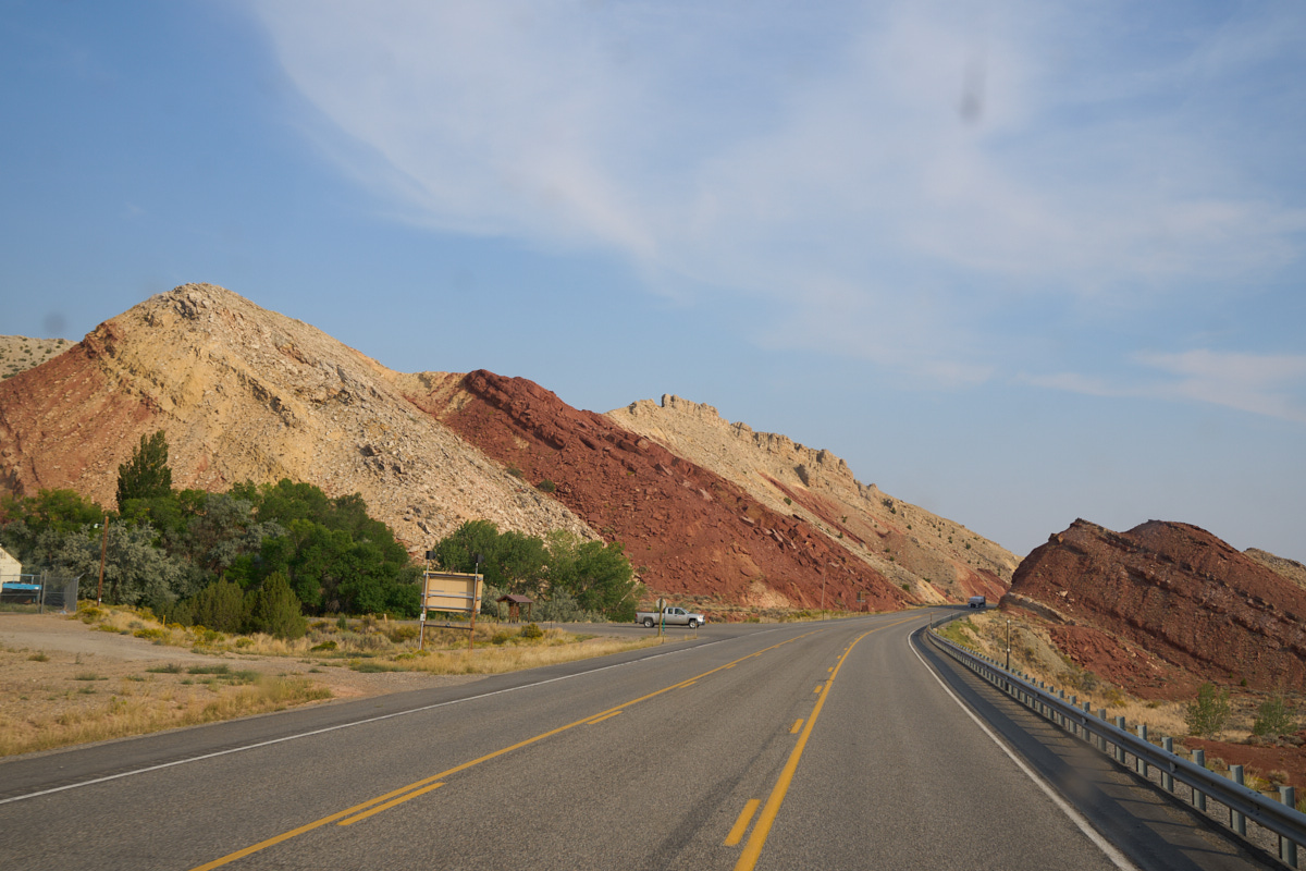
On the
south side of the gorge we got nice views of the uplifted and
tilted strata in the area that is part of the "Overthrust Belt".
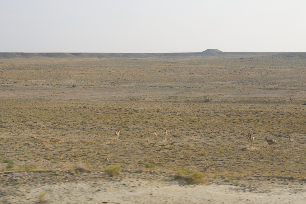
As we motored south, Thor scared up a small herd of Antelope
that were grazing near the road. This is barren country,
barely fit for man or beast. Note the volcanic cinder cone
on the horizon.
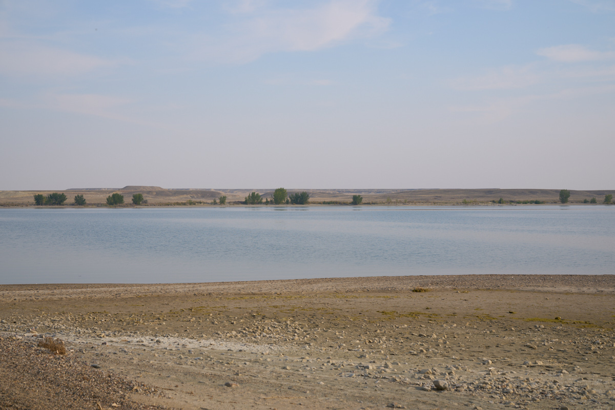
Our
destination for the night was Boysen Reservoir on the Big Horn
River. The reservoir was very low leaving wide beaches.
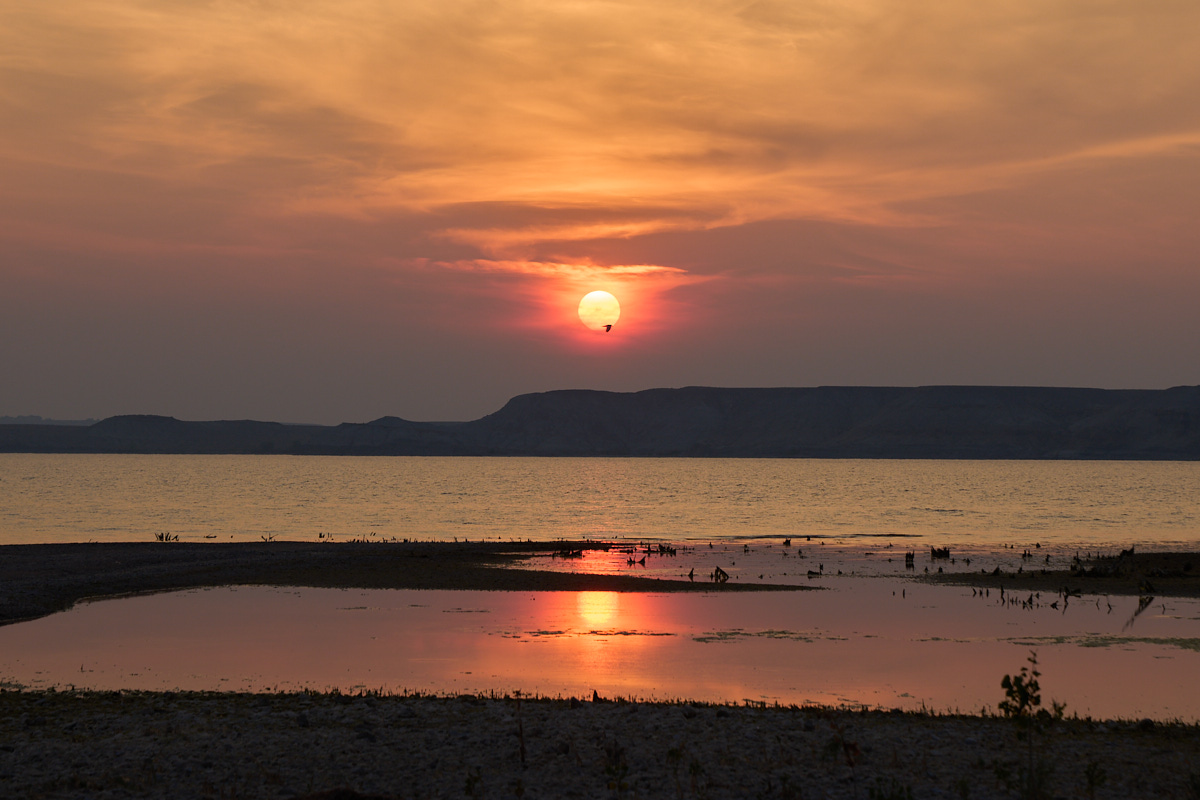
The only
good thing that came from the smoke in the air was a nice
sunset. I was a fraction of a second too slow on the
shutter to catch the bird in the middle of the sun.
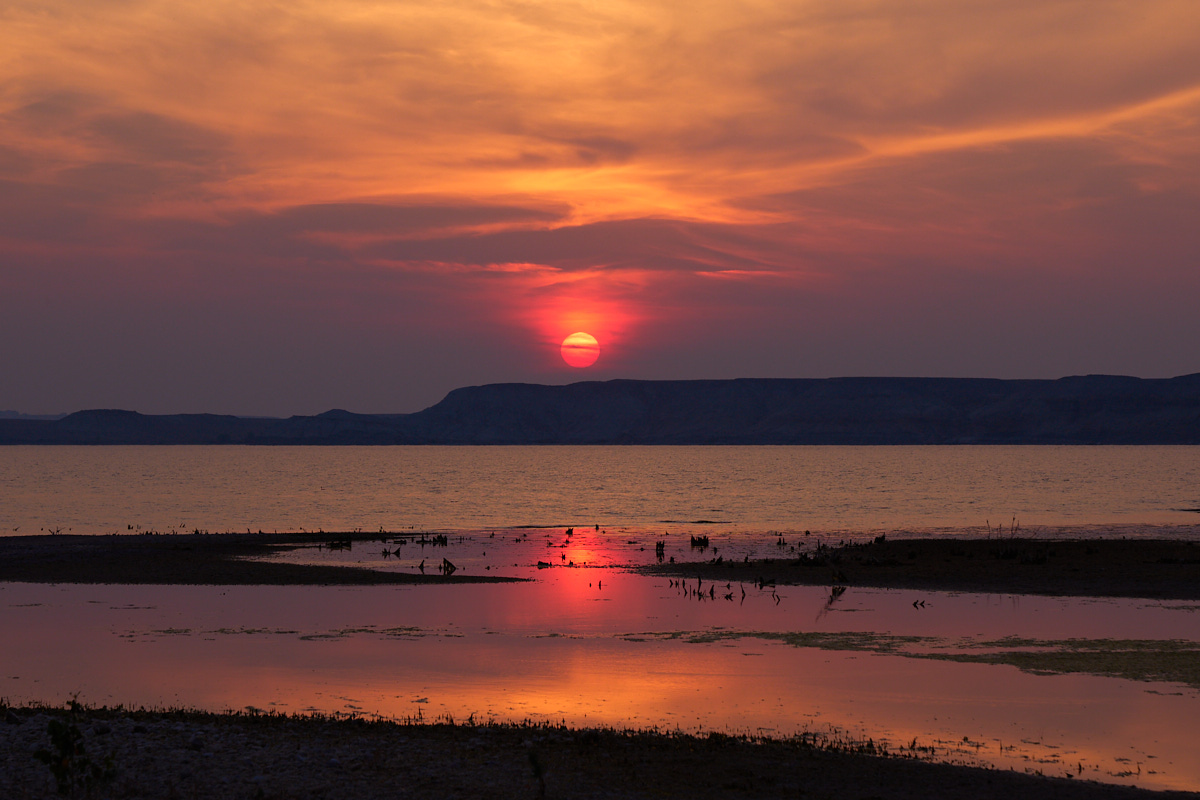
As the
sun continued to set, the colors deepened.
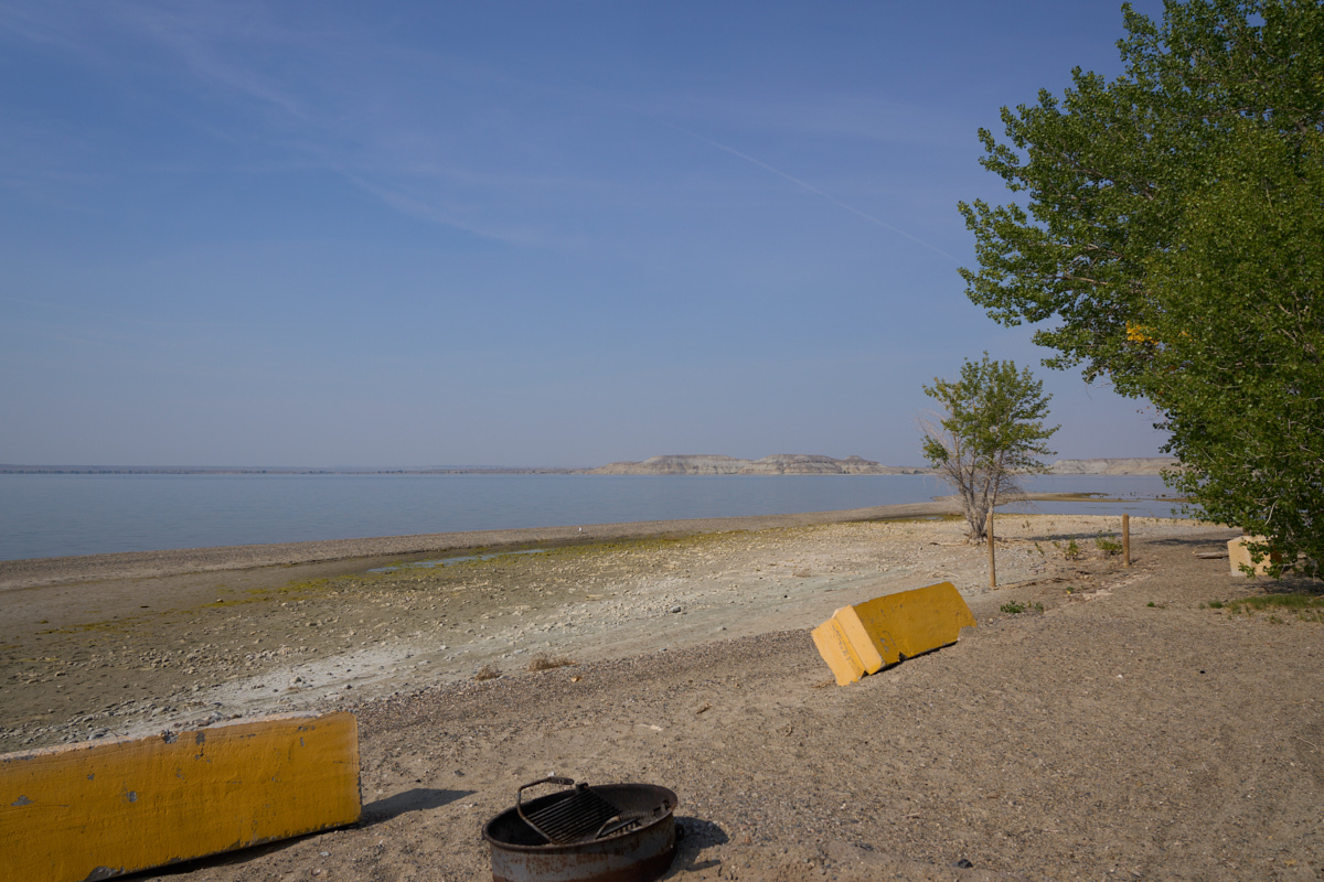
The
following morning was not as smokey, but the extent of the drought
was evident in the wide beaches at the reservoir.
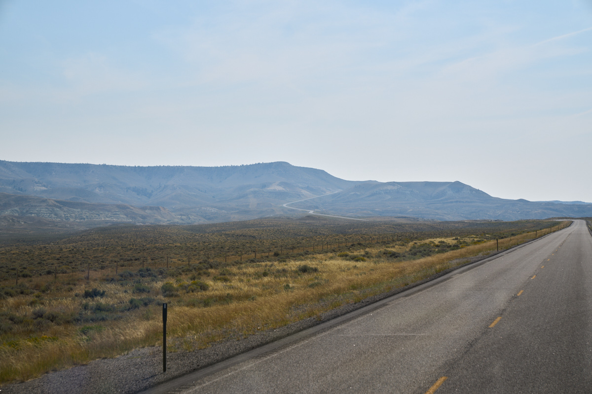
Kathleen
chose the route south and a sign on the road said "Steep Grades
Ahead". Indeed. The grade is visible through the
haze; it was about 8%.
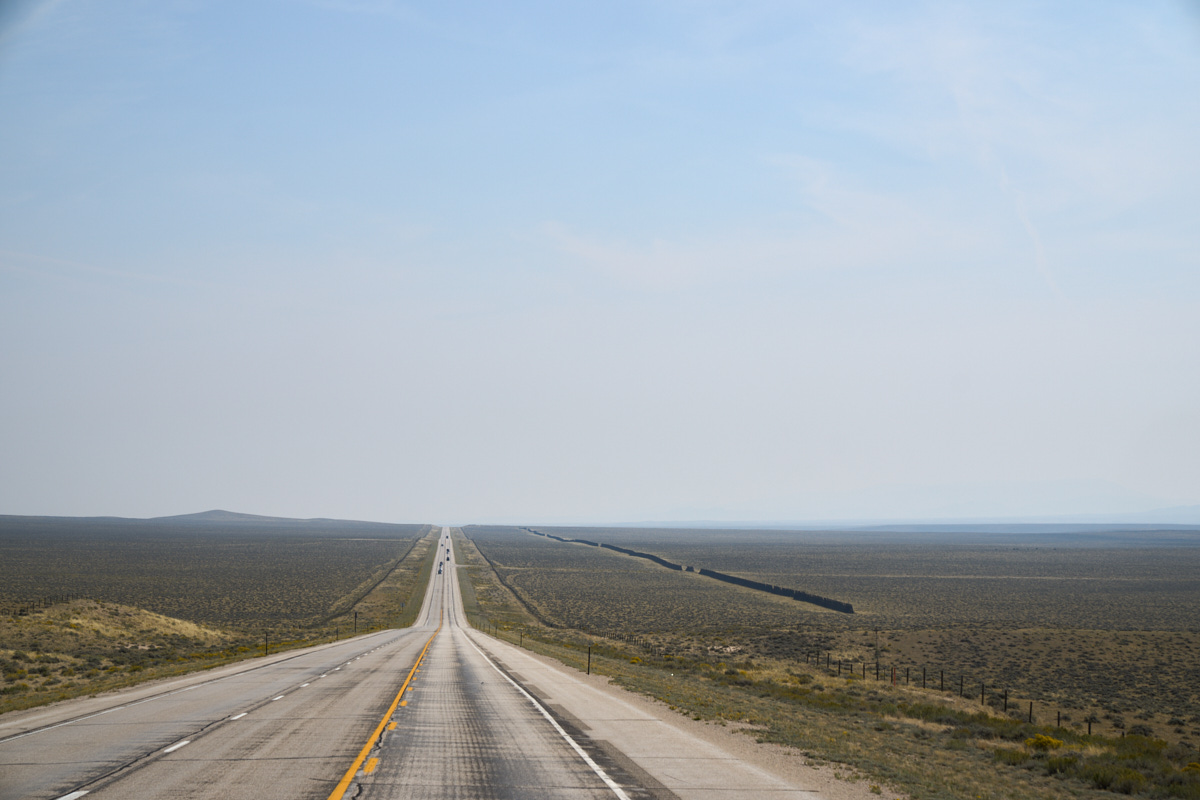
Once we
reached the top of the grade the direction of the road became
painfully obvious. Snow fences can be seen on the south
side of the road.
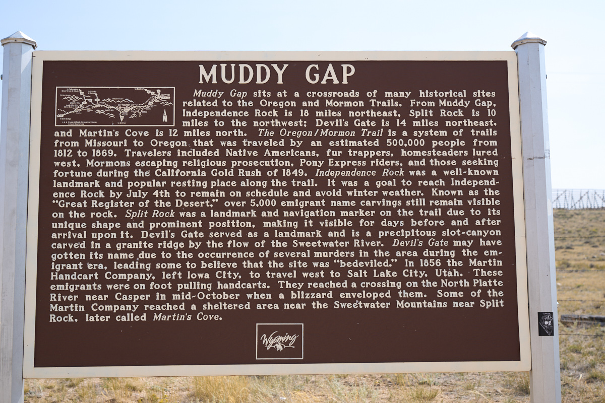
We
stopped at an intersection called "Muddy Gap" to make sandwiches
and saw this sign. We continued south and finally spent
the night in Saratoga, WY and had an awesome dinner at the local
Italian restaurant. Saratoga is a very small town and the
fact that they had one really nice (albeit expensive) restaurant
is a testament to the affluence of their tourist base. When
we left the following morning, our path took us near the airport
and it was filled with private jets - perhaps 20 were there when
we passed. Saratoga sits astride the North Platte River
which host good trout fishing which is the mainstay of their
tourist industry.
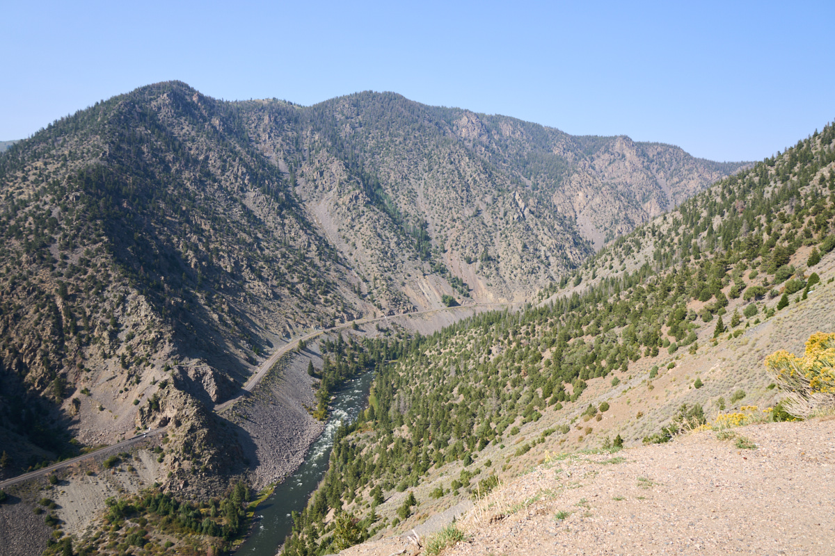
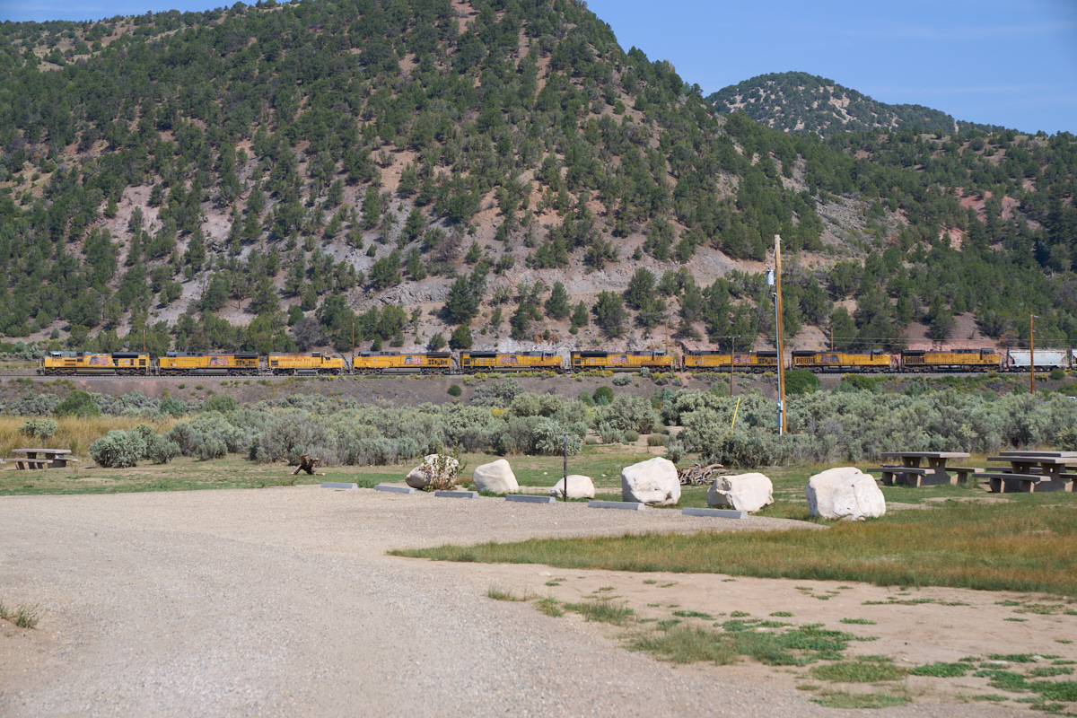
We
continued south from Saratoga over the Laramie Divide into
Colorado. We passed through Kremmling and then turned west
on the Trough Road which took us high above the Colorado
River. In this region, the BNSF main line follows the
banks of the Colorado and the tracks are visible in the photo
above.
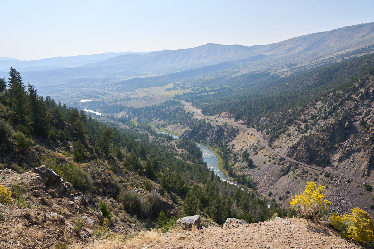
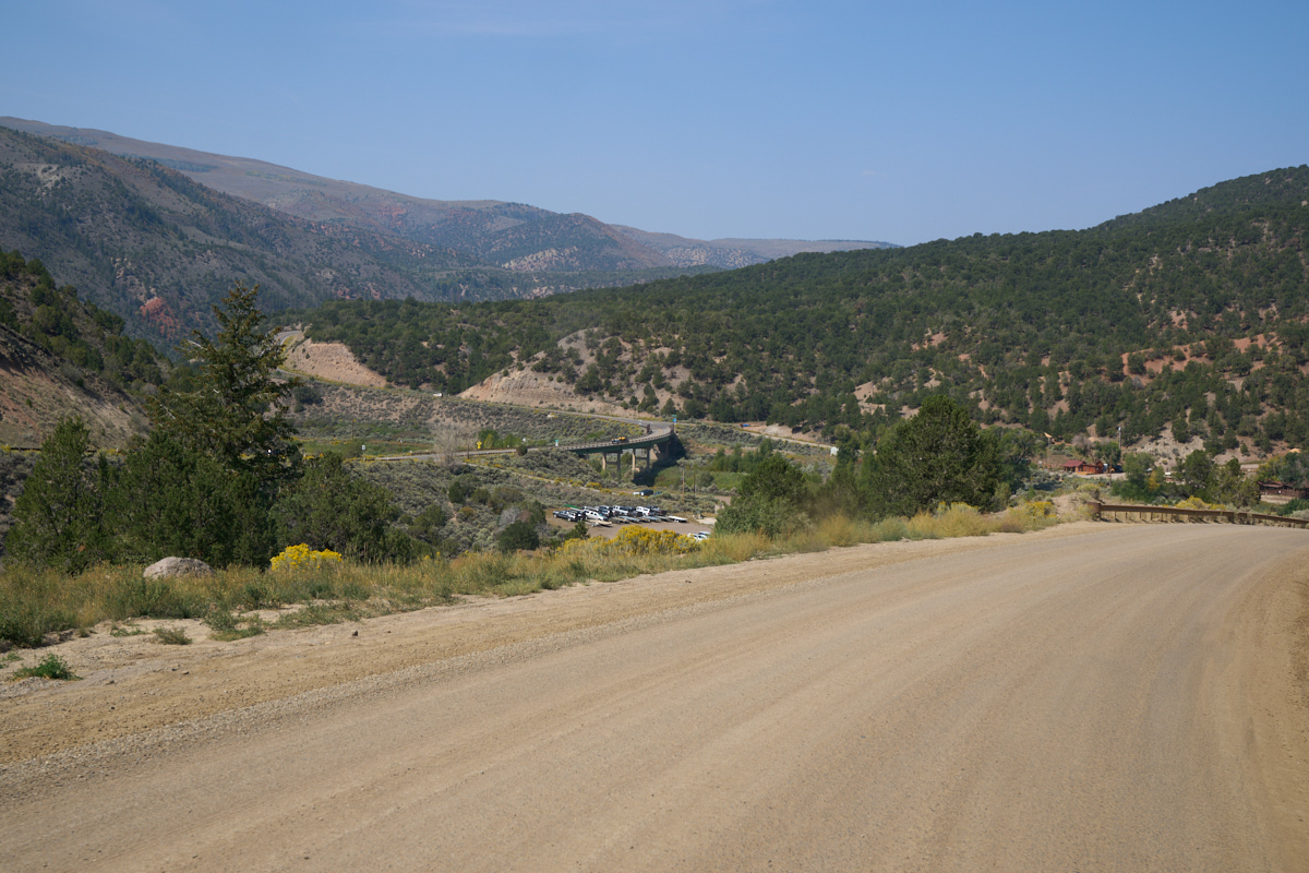
The
turn-out gave us a commanding view of the smokey valley below.
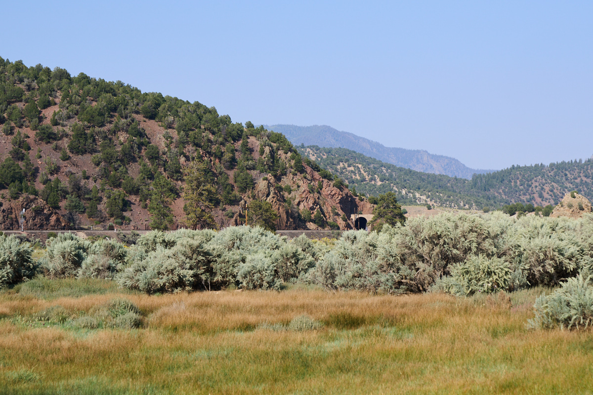
Our
destination was the BLM campsite at Radium, right on the river.
This was the nicest BLM site we had every visited - large, clean
and well organized. Our campsite had a view of a railroad
tunnel on the other side of the river.
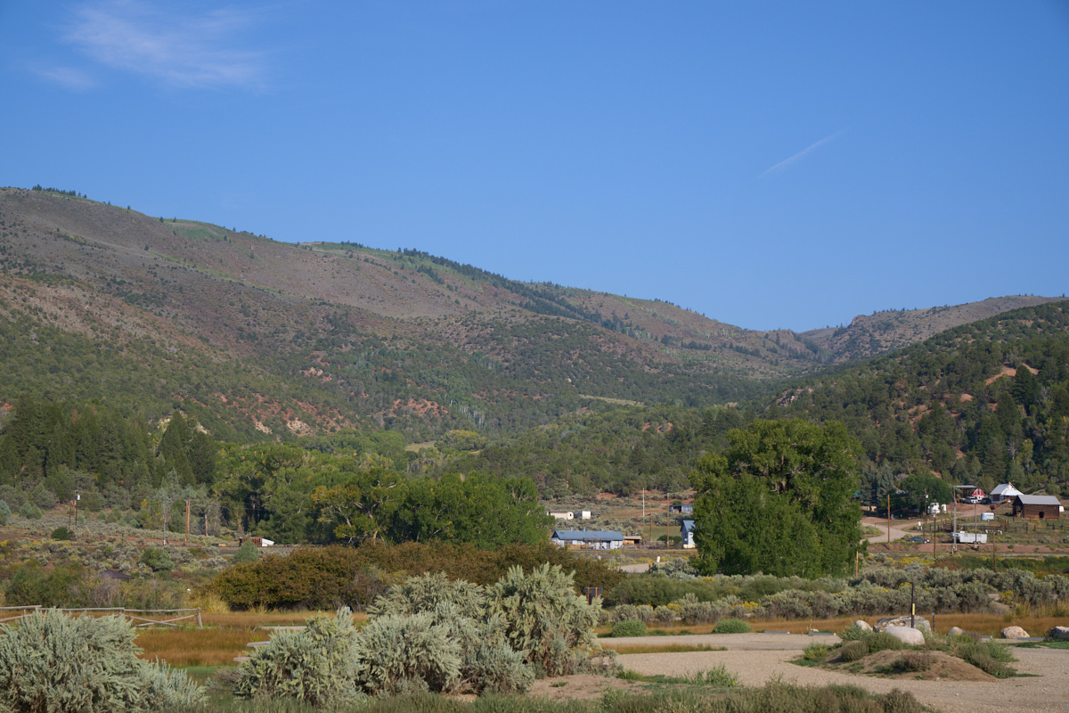
Nestled
in a canyon on the other side of the river was a small enclave
of ranches. These folks have a MAJOR drive for any
services.
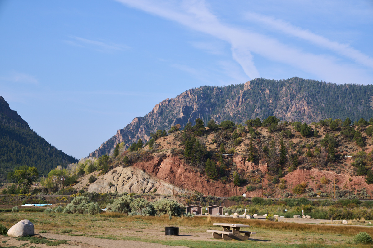
Camp
Radium caters to fishermen who put-in or pull-out at the boat ramp
here. In the distance, the folding and faulting that resulted
in the current canyon was visible in the exposed walls of the
cut in the cliff for the railroad line.
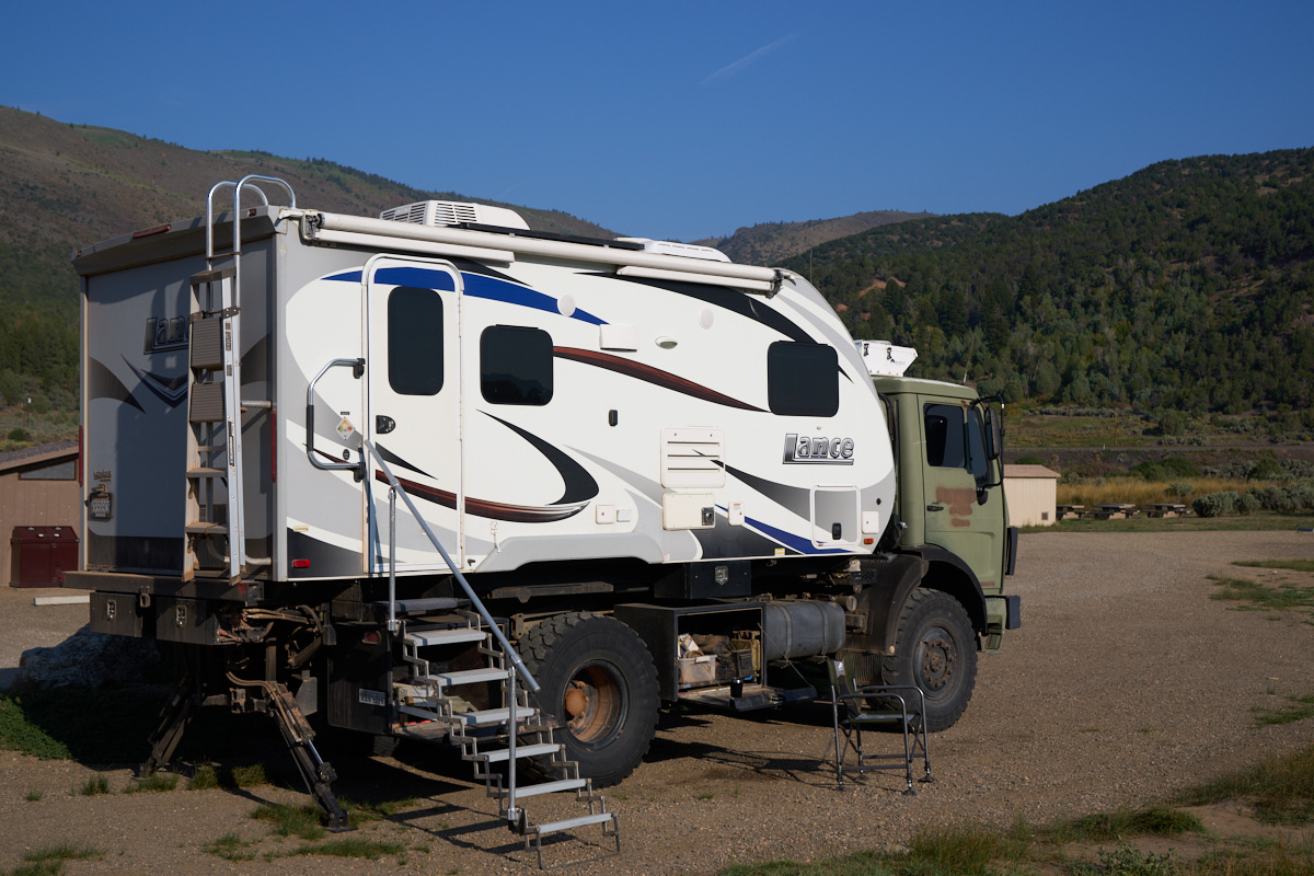
Like all
the campsites at Radium, our site was exposed and unshaded, but
temperatures were moderate so lack of shade was not an issue.
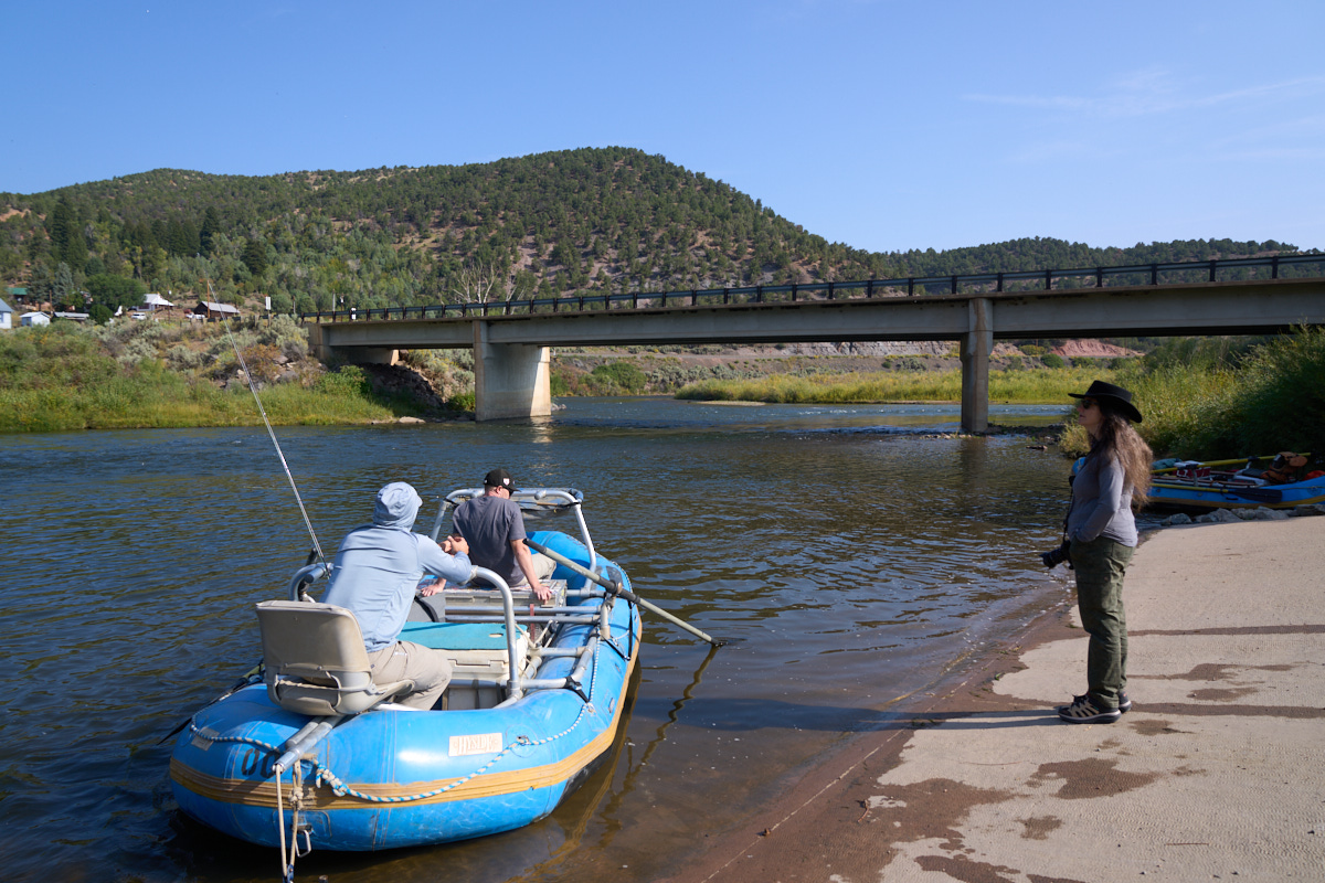
We walked
the short distance to the launch ramp to talk to some of the
river guides. The bridge at Radium is the only way to
cross the river for 20 miles in either direction.
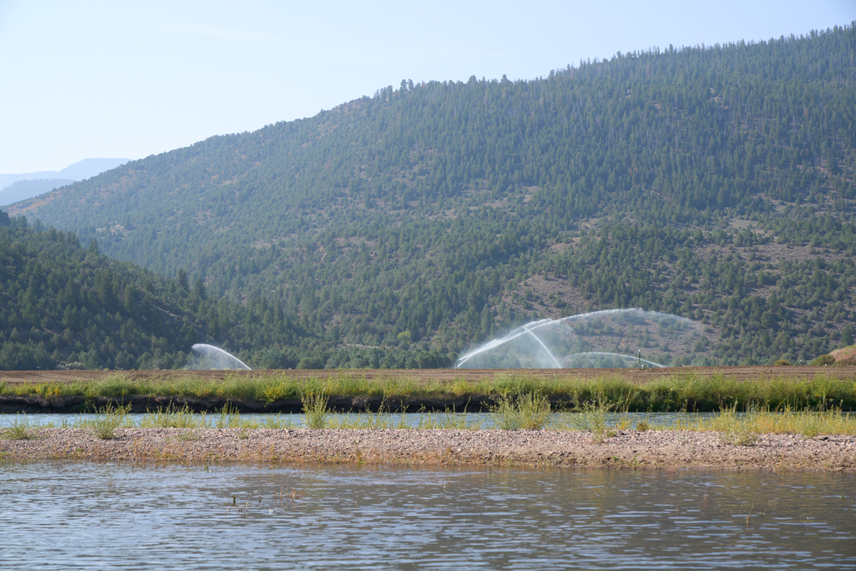
Across the river we could see active irrigation in progress. Pipes were run to the banks of the river and diesel pumps were used to supply the pressure required for the sprinklers.
| Previous Adventure | ||
| Trip Home Page |
Photos and Text Copyright Bill Caid 2021 all rights
reserved.
For your enjoyment only, not for commercial use.