We
traveled south from Ft. Union to Theodore Roosevelt Nation Park
(North Unit). We arrived early so we had no problem
getting a camping spot. We had an enjoyable time talking
with some of the other campers. Our plan was to do a
drive-through on the North Unit road and then continue south
another 100 miles to see the South Unit.
The photos below are what we saw.
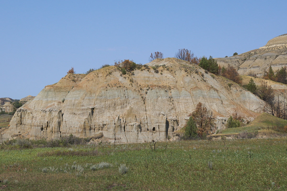
The park
was interesting, but somewhat underwhelming relative to other
national parks. But, we did get to see some interesting
mud formations. Note the mini-hoodoos.
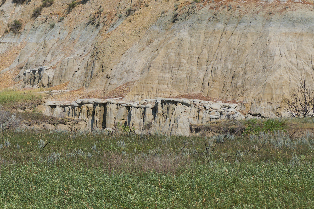
One of
the strata in this area is quite a bit more robust and the
harder cap rock allows formations of interesting hoodoos.
The
blueish-purple dome in the center of photo above is bentonite,
which flows when wet.
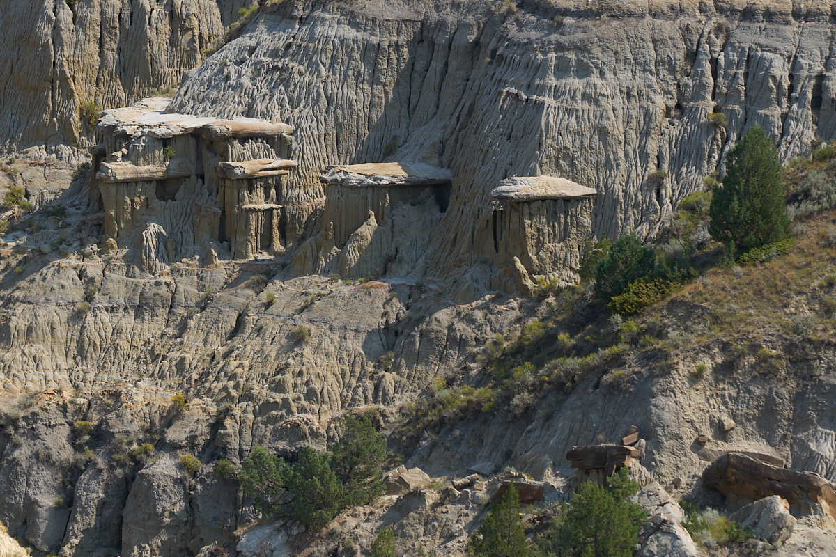
More
hoodoos-in-training.
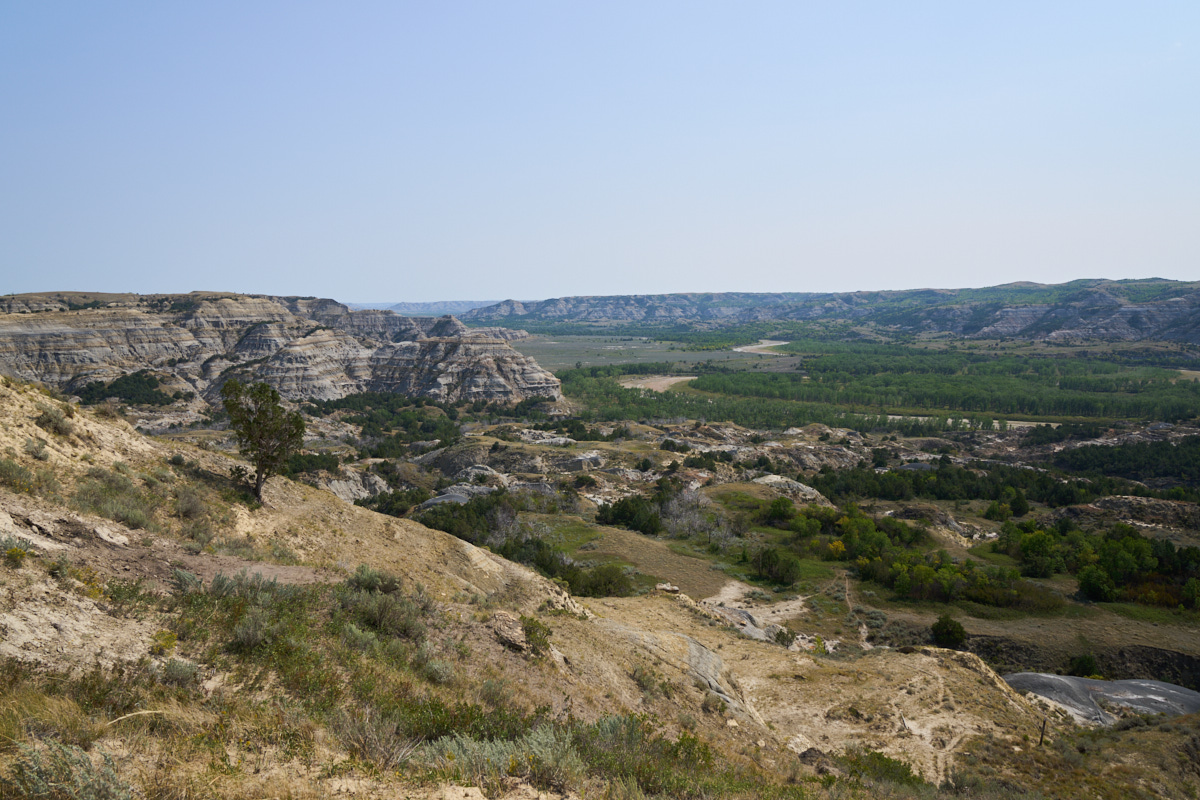
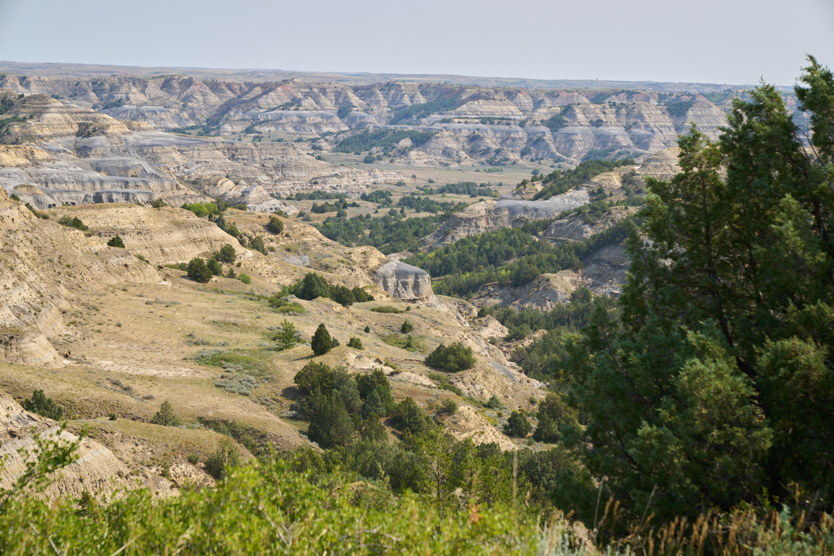
The
Little Missouri River is the primary architect of the canyon.
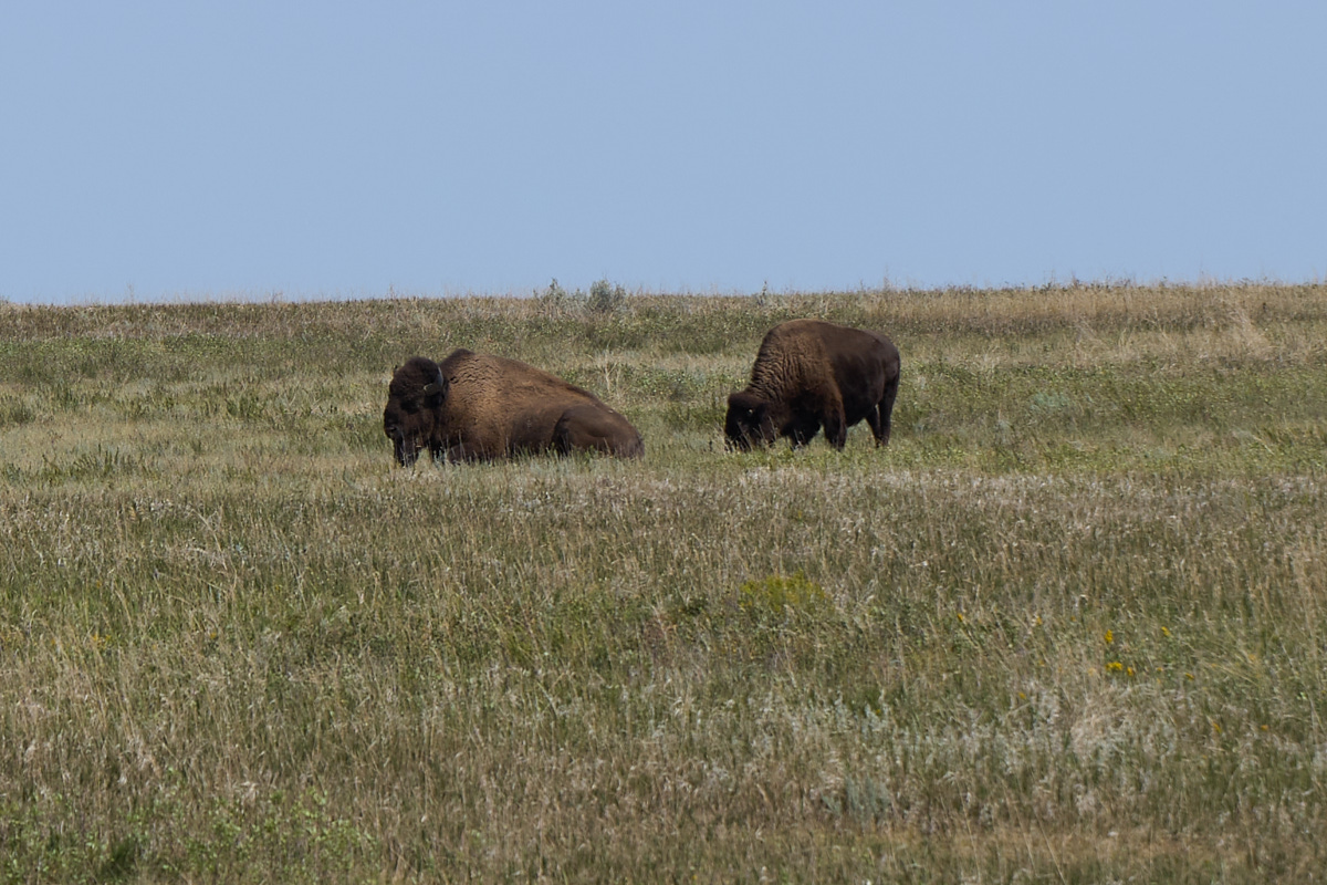
I
wondered if we would see buffalo and sure enough some were
present.
The
buffs cared little about our presence.
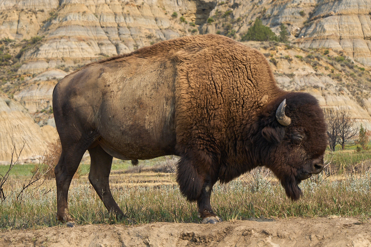
We
passed this fellow on the way out. He was right next to
the road. After our close encounter with our buffalo, we
hit the main highway and continued south.
A couple
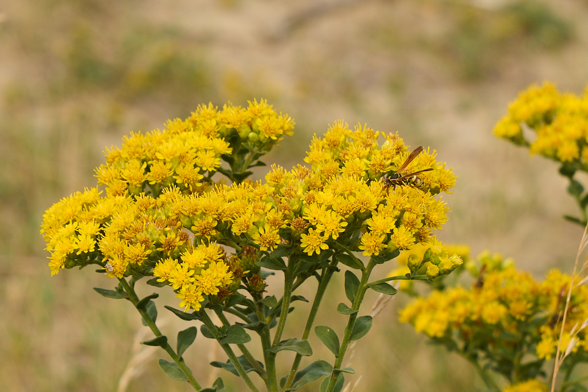
of hours later we arrived at the South Unit of the park. I
spotted a yellow jacket wasp working the flower blooms.
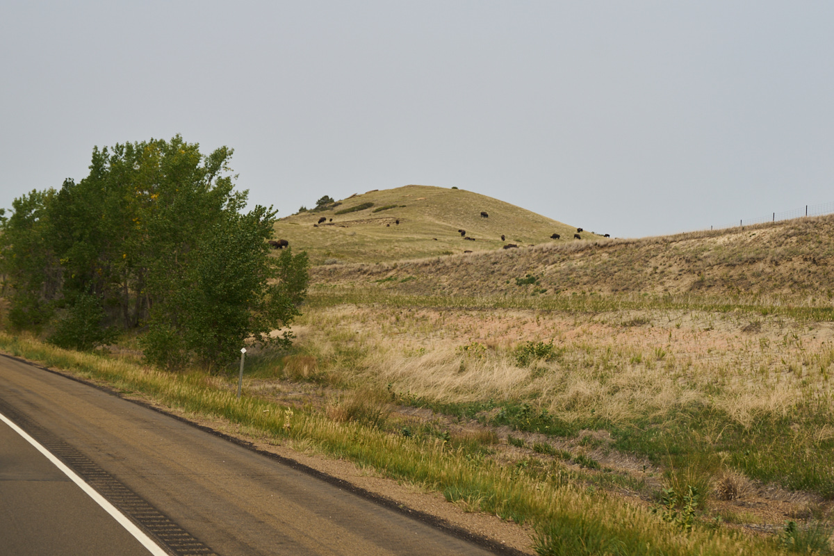
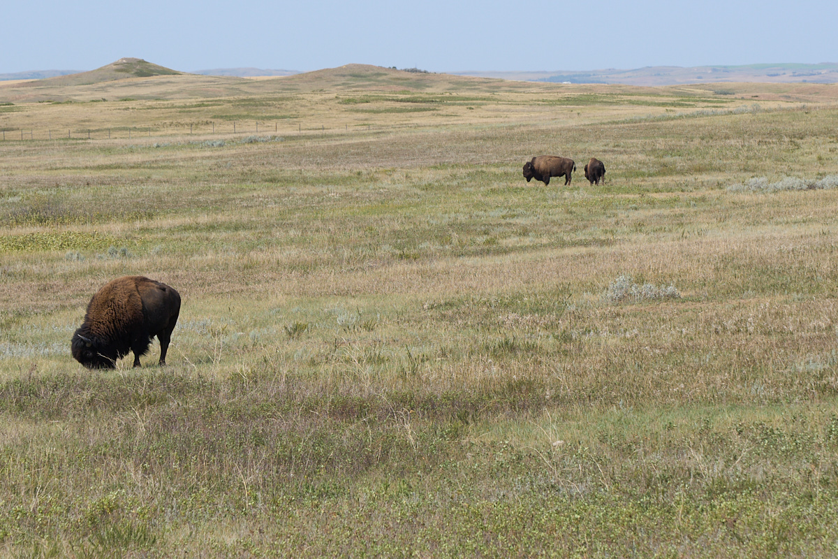
The
south unit must have the bulk of the buffalo population.
We spotted a bunch right next to the freeway.
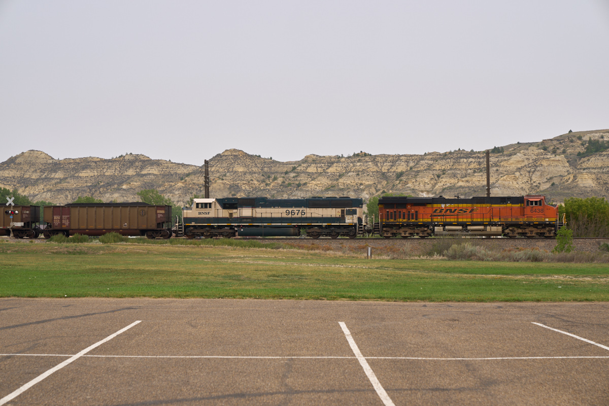
We went
into a nearby town called Midora and encountered a large coal
train heading from a nearby mine to a power plant. We did
a drive-through of the South Unit, but road closures due to
construction put a crimp in our plans so we continued south to a
remote camp near a (once) burning coal seam. We did about
40 miles of dirt to get to the camp site.
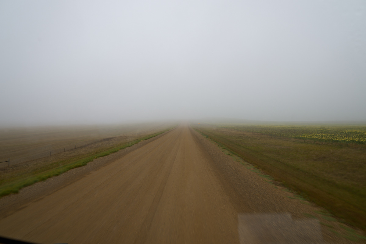
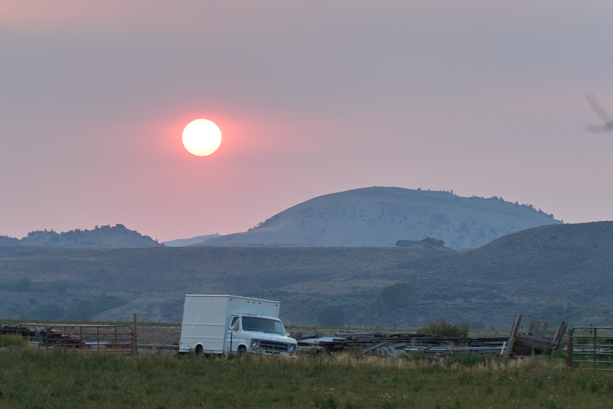
We had a
calm night with a bit of rain. Upon our departure from the
hills, everything was socked in with clouds and fog.
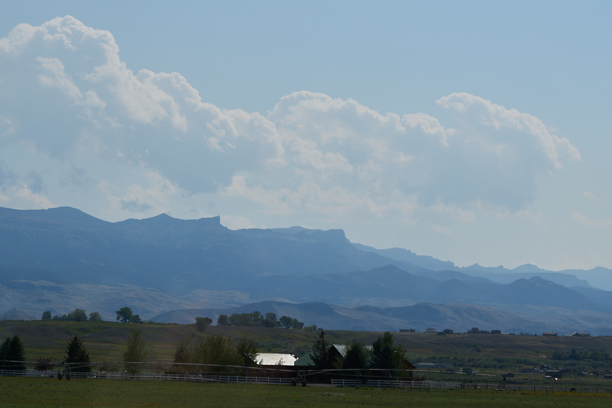
We
continued south to Spearfish, SD and we turned west on I-90.
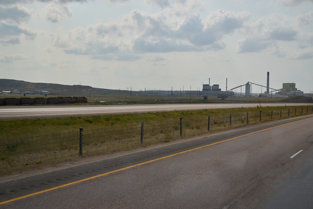
We continued to Gillette, WY and passed the biggest rail lot I
have ever seen. There were hundreds of locomotives there,
all presumably in support of the transport of coal that is mined
in the area. This power plant sat astride the railroad
main line.
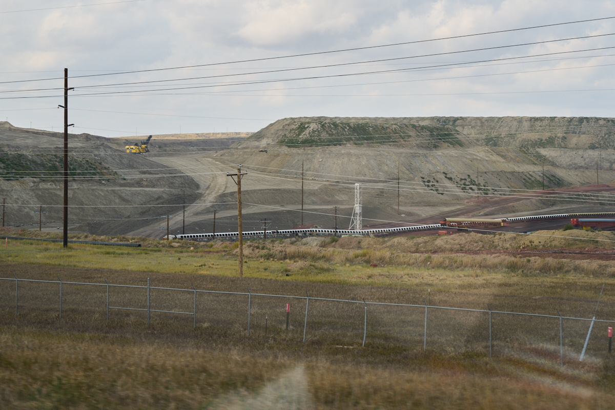
To the
north side of the powerplant the mining area was visible.
Mountains of earth are moved to access the coal. The
finished product runs in conveyor belts from the mine site to
the staging area at the railroad line. Notice the large
shovels and dragline at the upper left of the photo above.
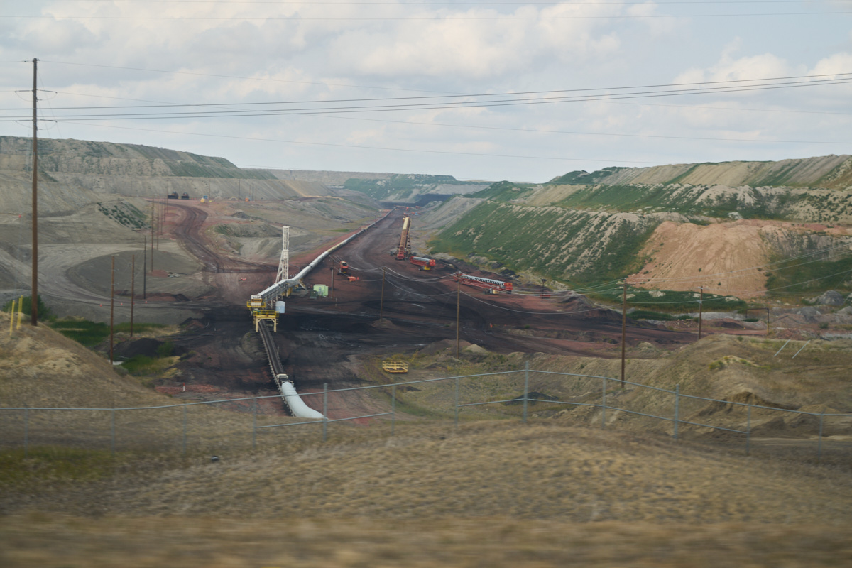
One more
canyon to the west had a clear view of the conveyor system used
to move the coal.
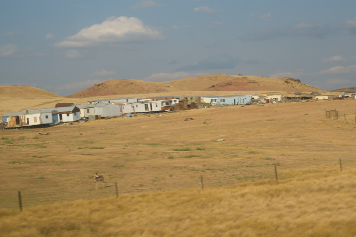
To the
east of Buffalo, WY we passed a mobile home graveyard.
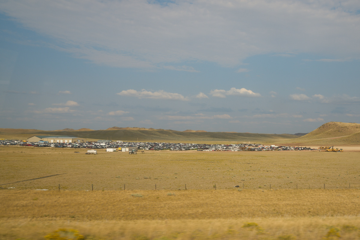
Further
down the highway we passed this huge junk yard.
We spent
the night at the KOA in Buffalo, WY to allow us to do a shower
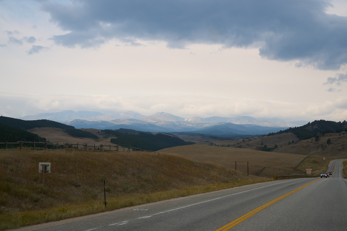
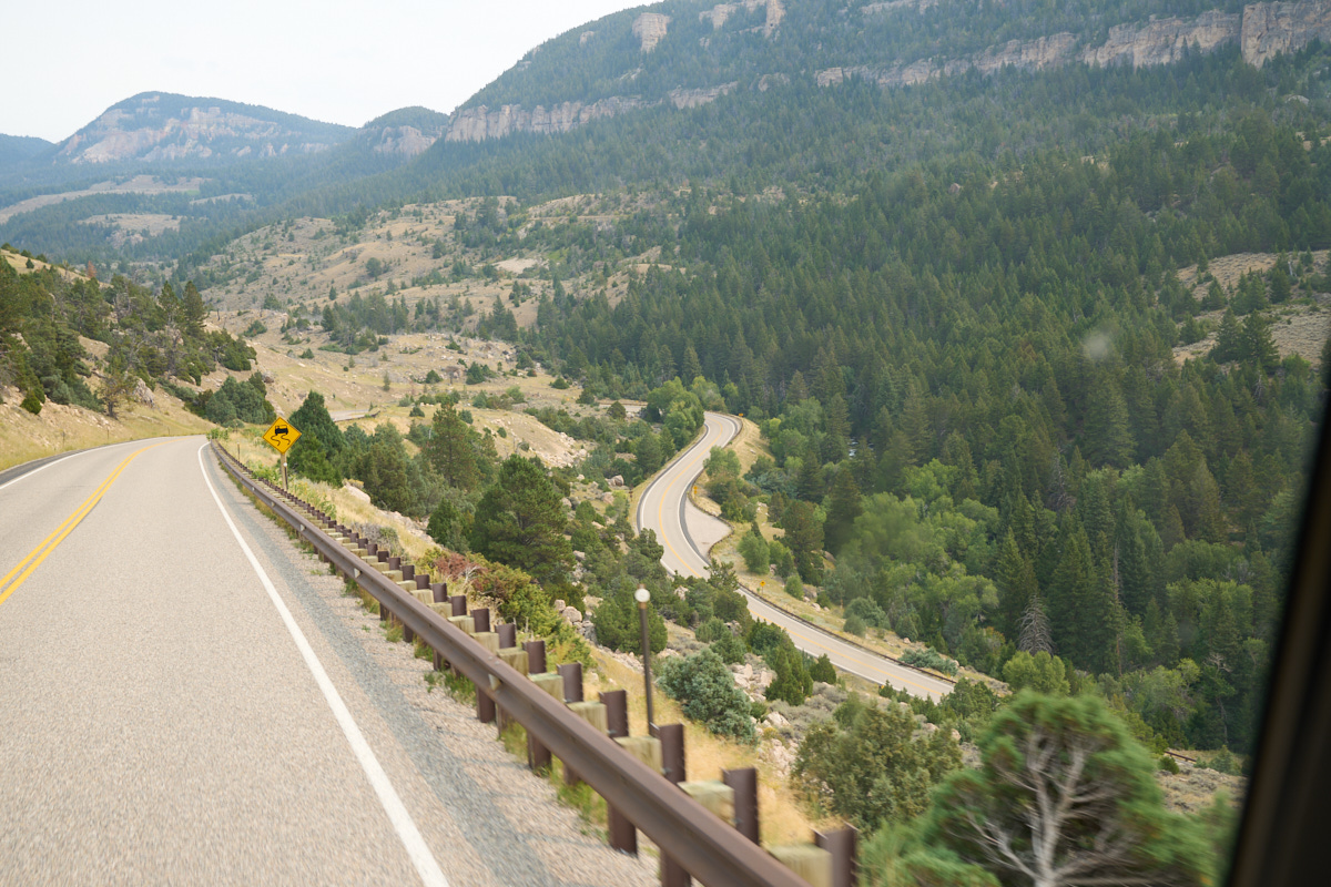
and a tank service. Next morning, we headed up into the
Bighorn Mountains. This is a steep road and Thor had to
work hard. From one of the upper meadows we could see snow
on the distant ridges.
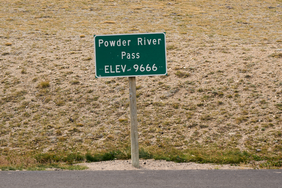
I was
happy to reach the summit without any mechanical issues.
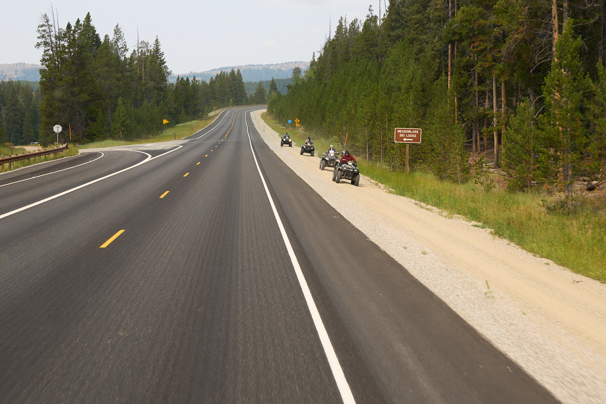
We
continued westward and came upon a group of ATVs making their
way along the shoulder of the road.
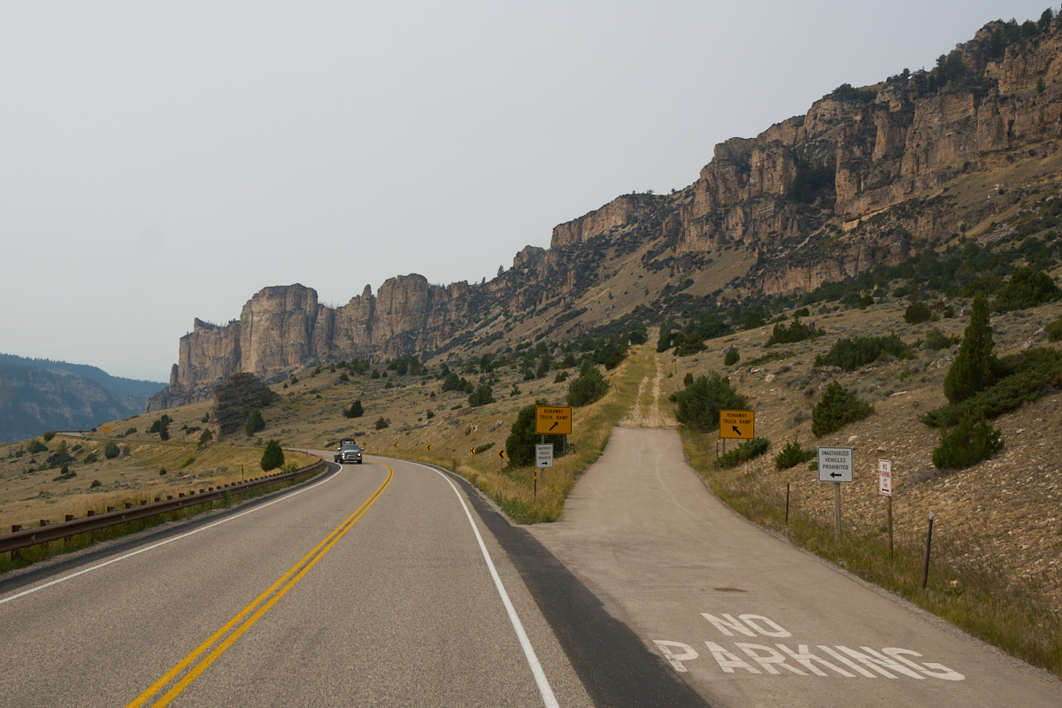
The
downhill portion of the path was as challenging as the eastern
approach. The tall cliffs were intimidating, but nowhere
near as intimidating as the runaway truck ramps. The ramp
on the eastern approach had the vehicle run through a concrete
trough (still sloping downhill...) though a series of cable
speed-breakers.
| Previous Adventure | ||
| Trip Home Page |
Photos and Text Copyright Bill Caid 2021, all rights
reserved.
For your enjoyment only, not for commercial use.