
We
spent a great night at Garrison Dam downstream campground.
The place was clean, quiet and had no-fee hot showers.
Next day, we loaded up and hit the road heading north to the
Canadian border.
The photos below are what we saw.
On our
departure from the dam campsite, we disturbed a herd of deer
that had been grazing on the manicured lawns of the campsite.
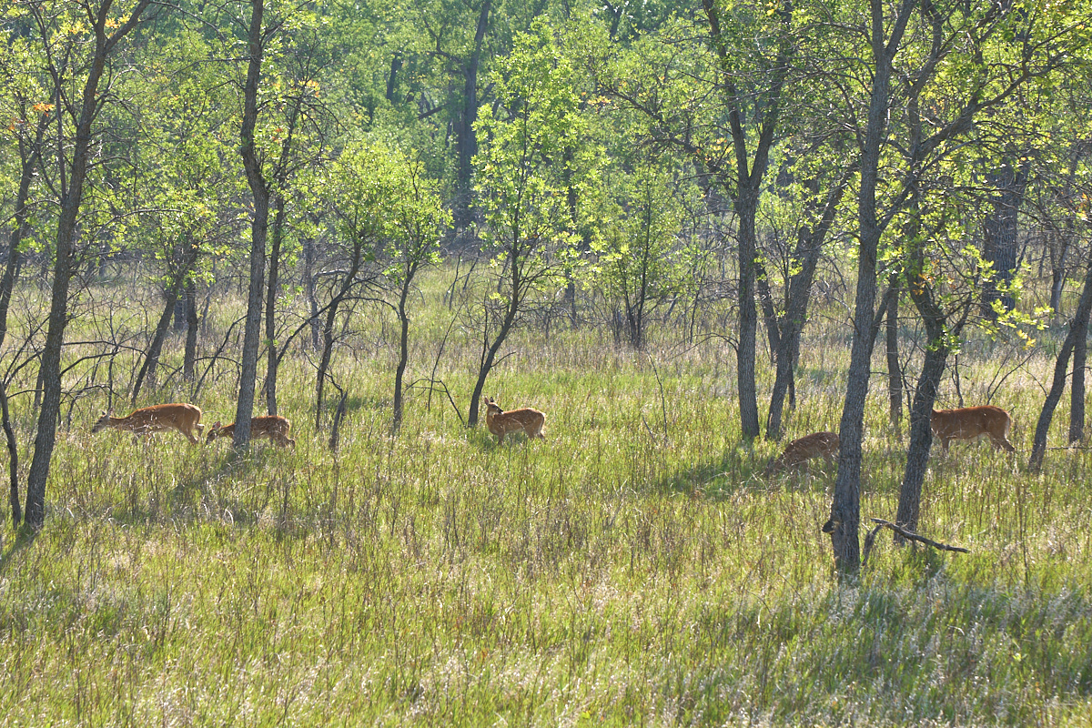
The
balance of the herd were already on the natural side of the road
when we arrived.
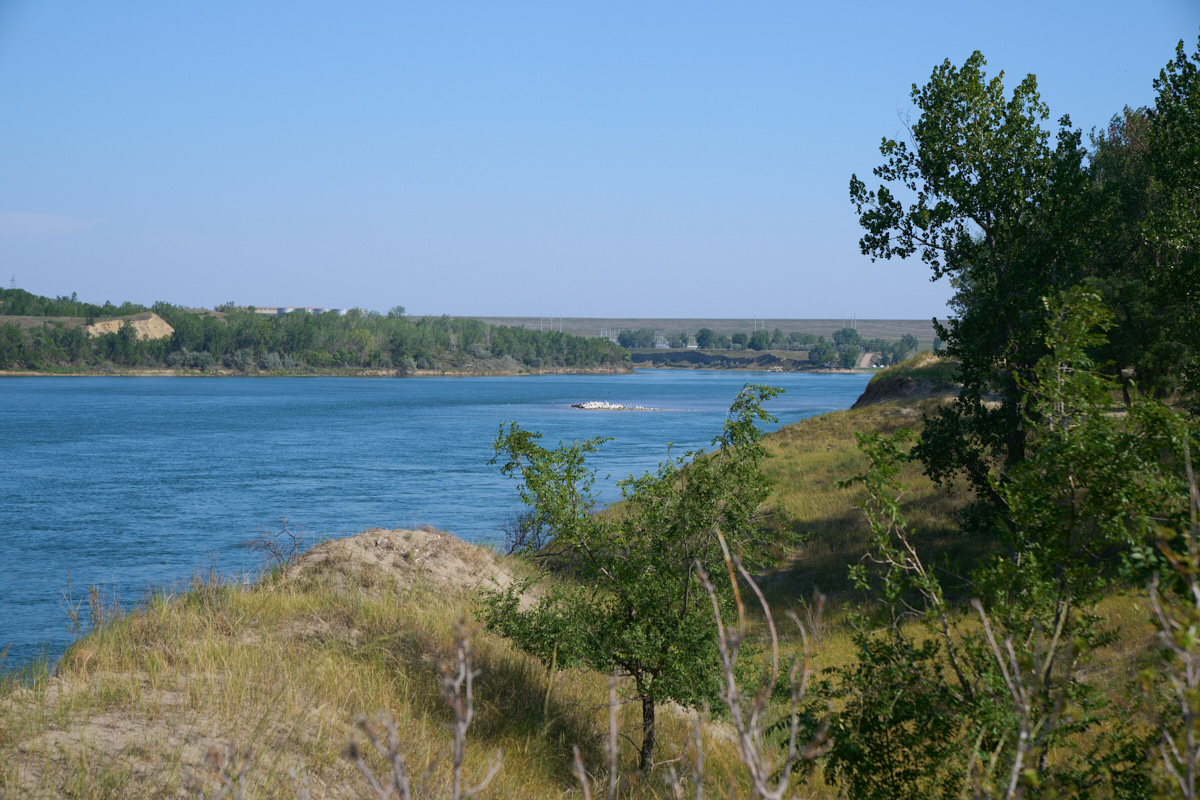
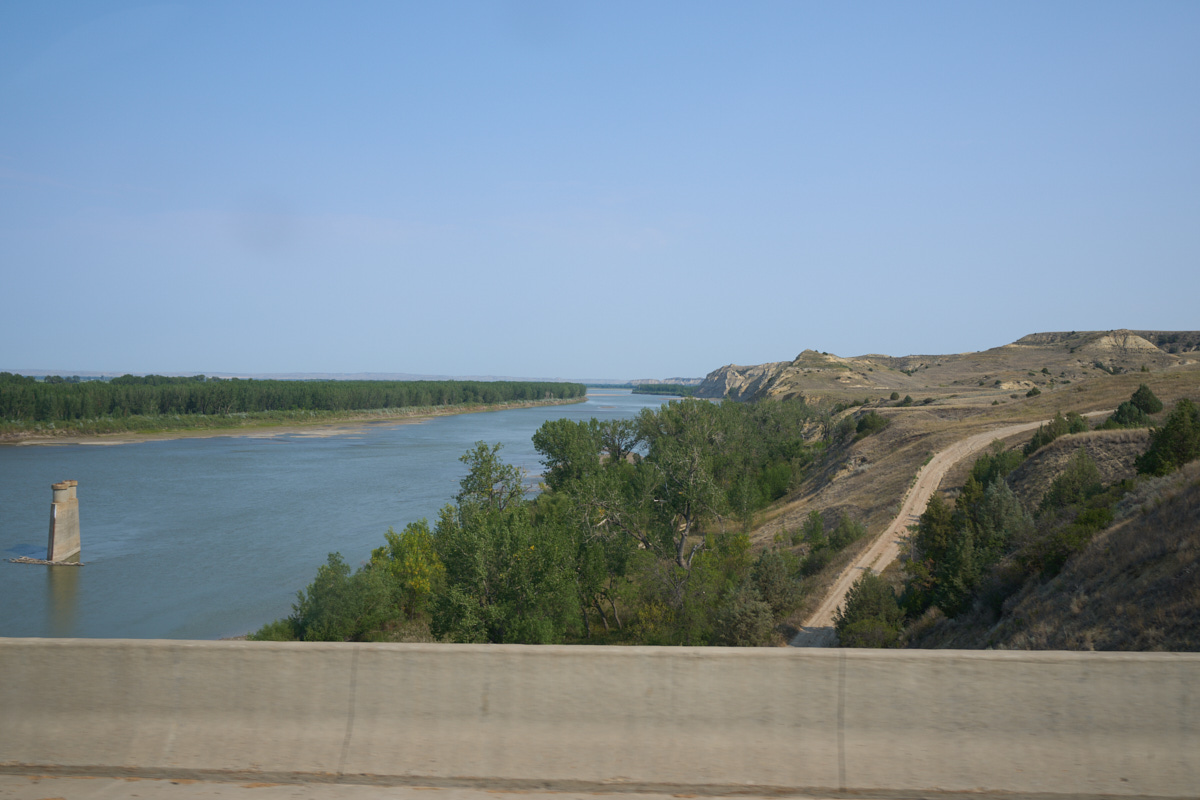
We drove
a bit south to the primitive camping area and got some nice
views of Pelican Island in the middle of the Missouri River.
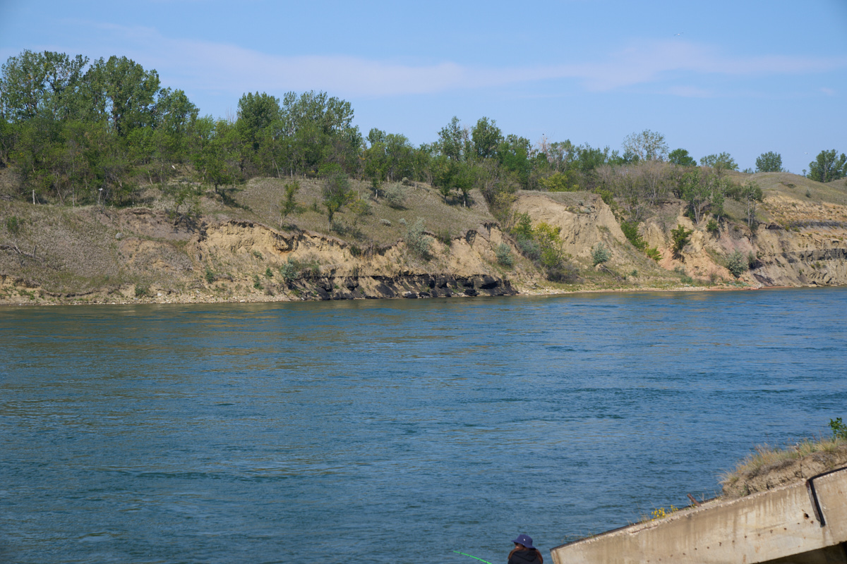
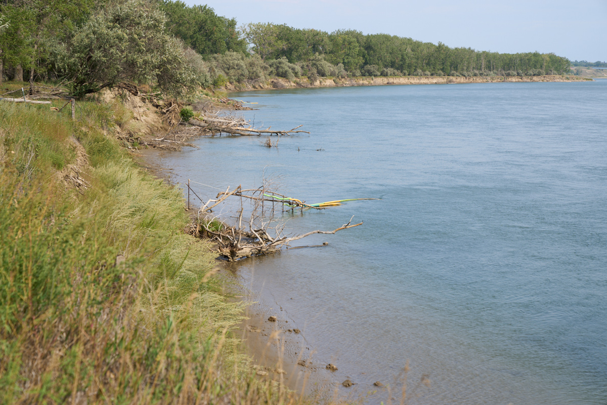
The path
of the river resulted in slumpage cliffs on the west side of the
bank.
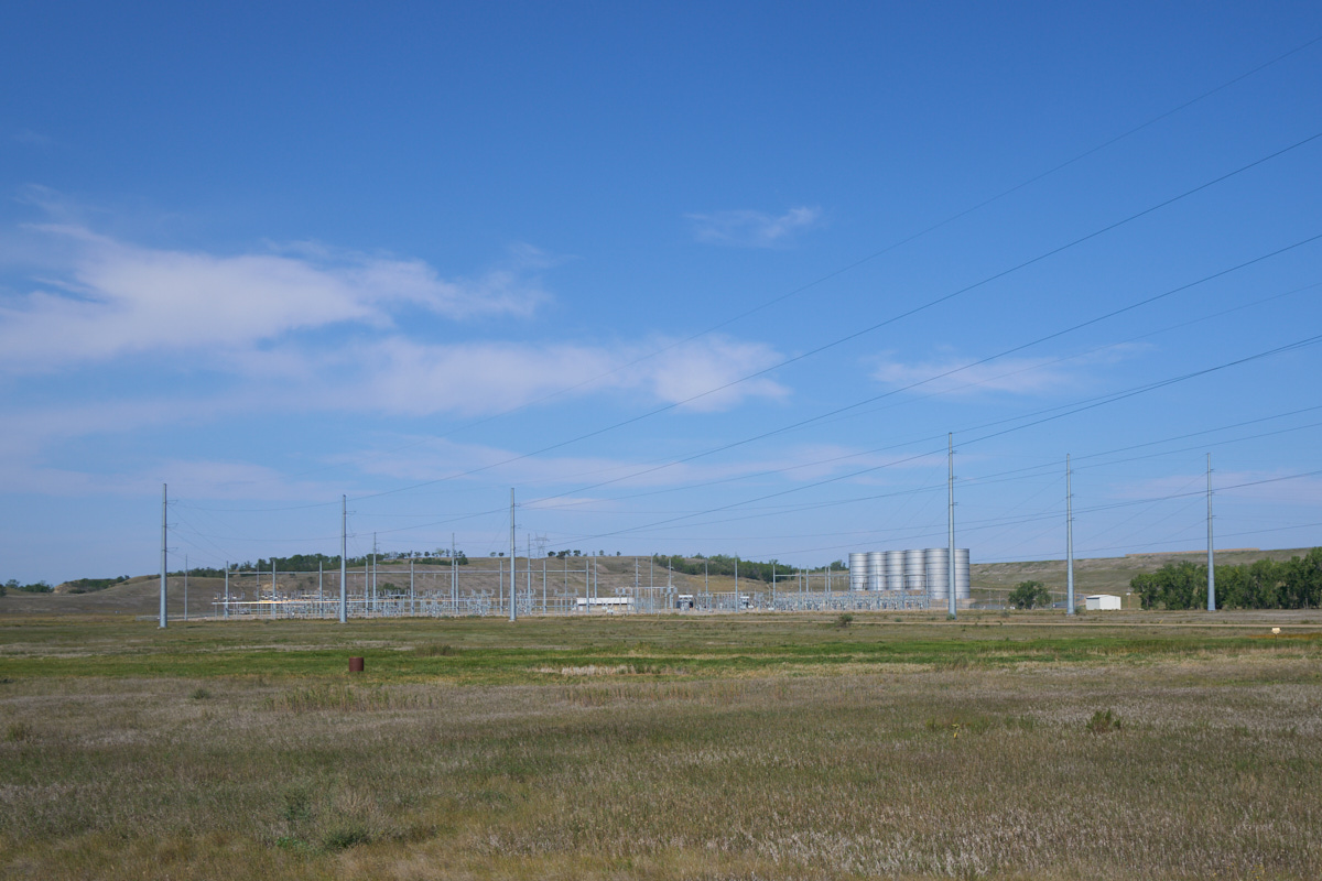
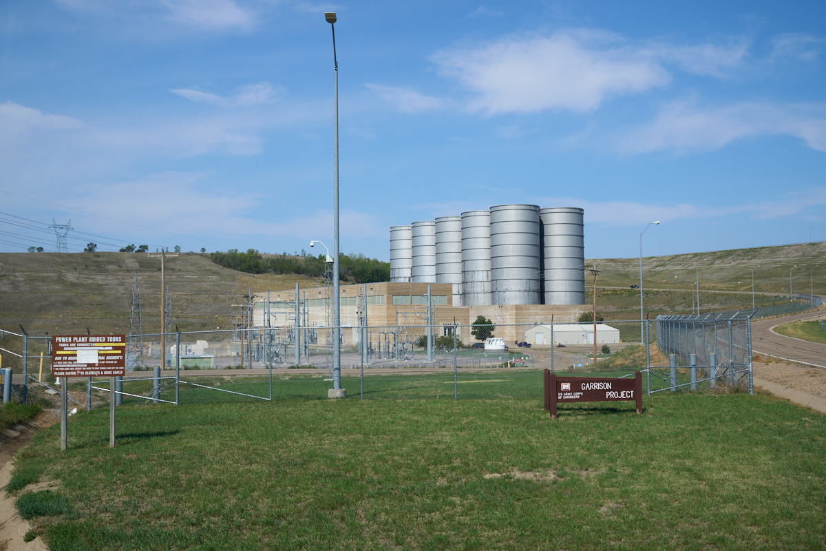
This is
the switch yard for the dam's power plant.
We drove
to the tail race area and got a nice view of a coal seam on the
opposite side of the river.
The dam
was closed to tours due to Covid, so we took one photo and motored
on.
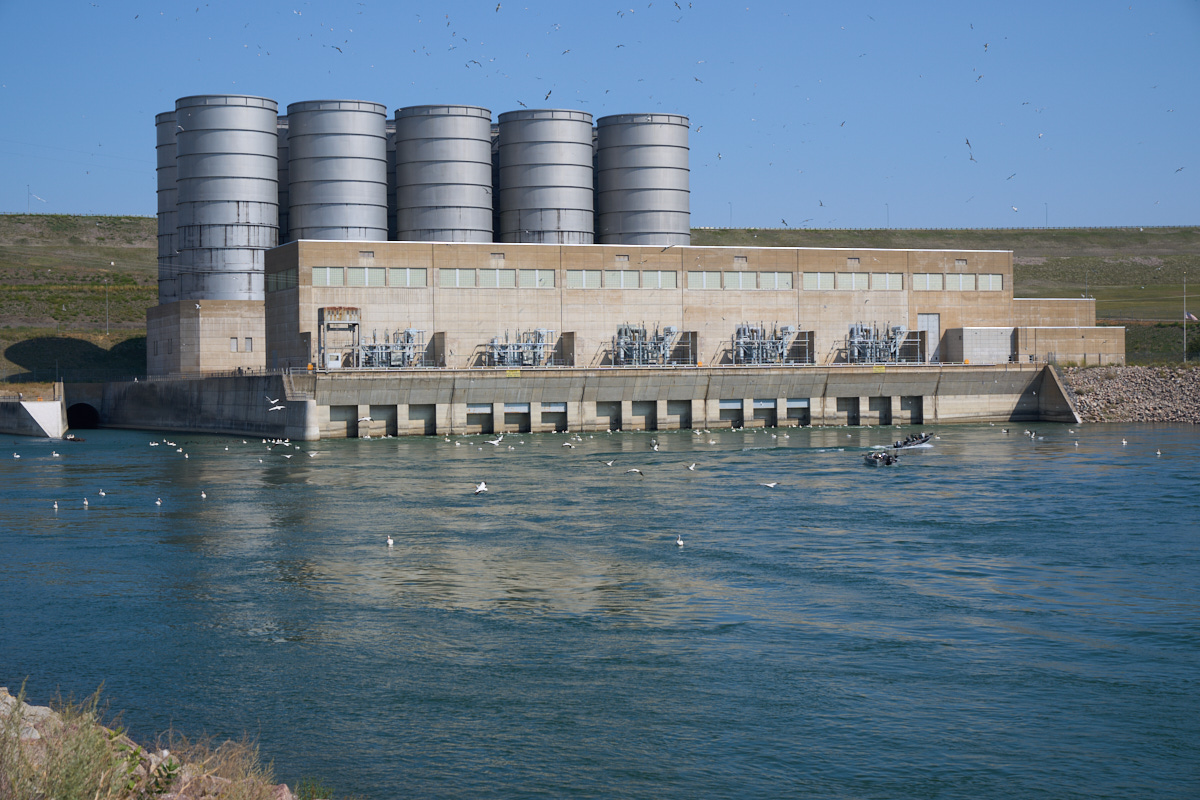
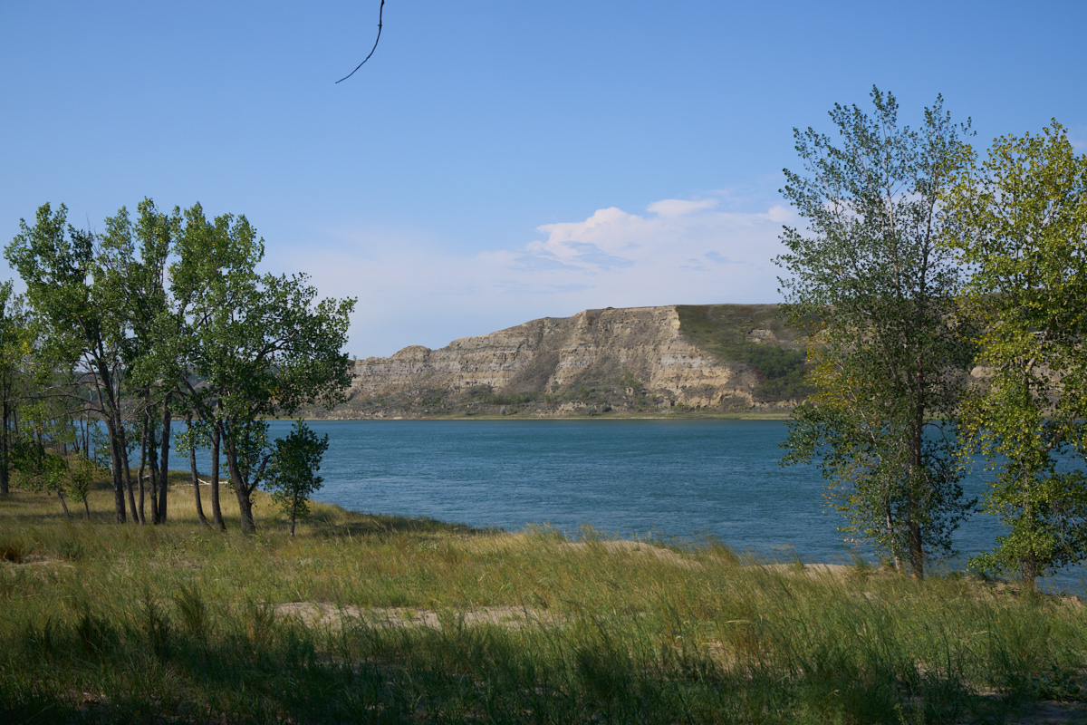
We drove
to the west tail race area and from there we had a good view of
the downstream side of the powerhouse. Note the large
numbers of birds waiting to feed on fish that have been injured
by the turbine blades or are attempting to fight the current and
go upstream. There were plenty of fishing boats in the
water as well.
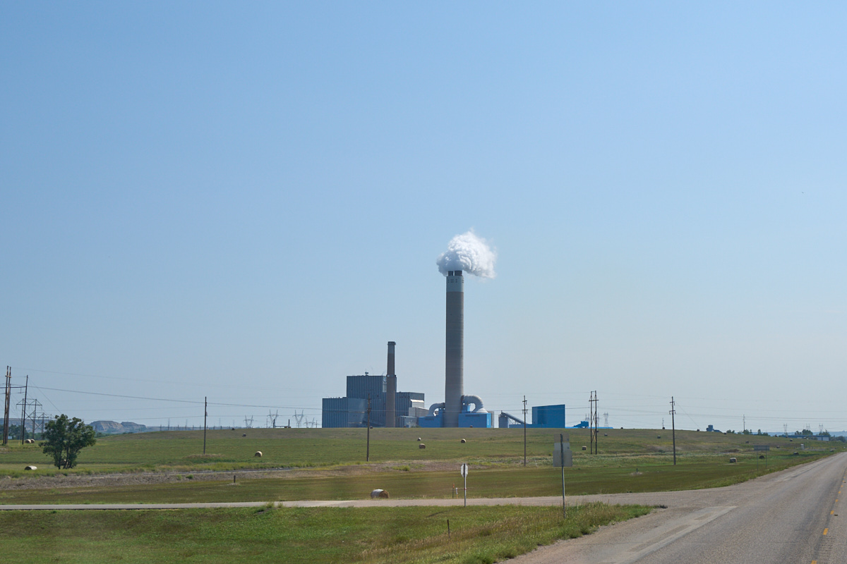
We
decided to explore the area around Garrision Dam. We came
upon this coal-fired power plant within a few miles.
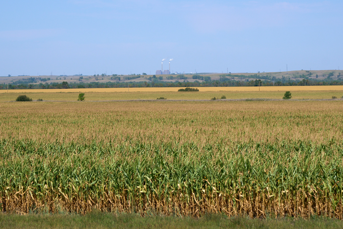
In the
distance, we could see another powerplant across the rich
farmland next to the Missouri River.
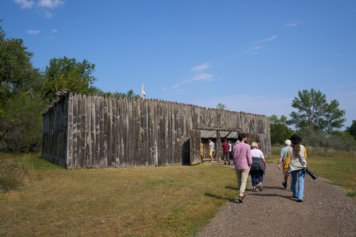
We
traveled a few miles to Ft. Mandan which was used by Lewis and
Clark during their famous expedition. The fort is a
re-creation as none of the original wood survived large floods
in the years after the expedition.
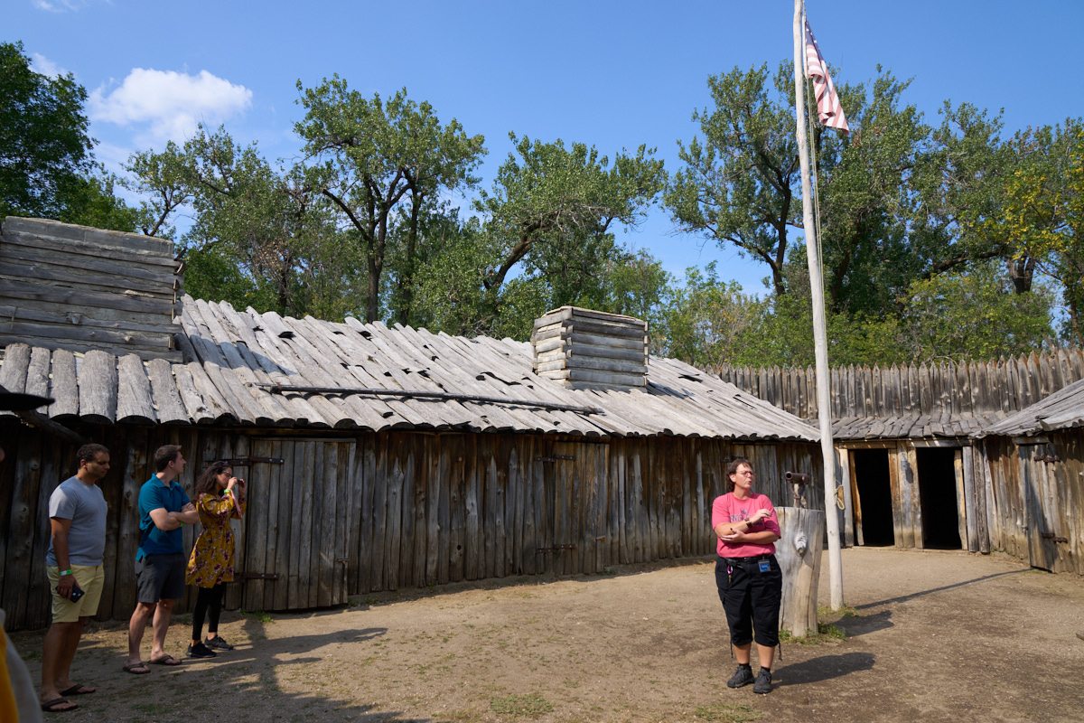
It was a
rather boring tour, so we bolted and went to the edge of the
river.
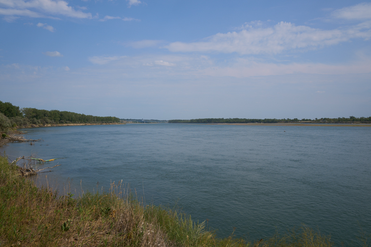
The
seasonal variations in the river's flow results in steep cliffs
in the river silt.
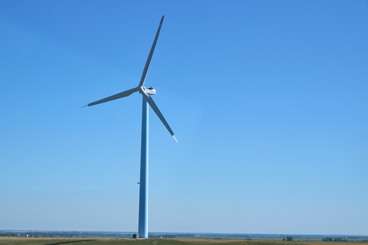
We
headed north toward Minot with our objective being a small town
right next to the Canadian Border. We passed a large
number of windmills, but this one was out of the norm.
First, it seems that the protective cowling on the top is
missing. Second, we noticed the variable wind tips.
I am guessing that the tips are the fine control on rotor speed,
but not sure.
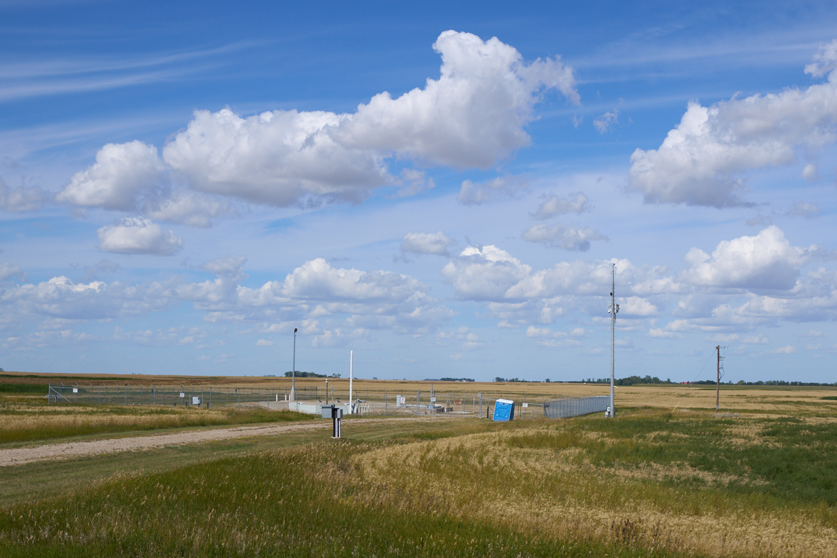
Further
down the road we came upon an operational missile site. We
passed at least a dozen; that's a lot of firepower in a small
area.
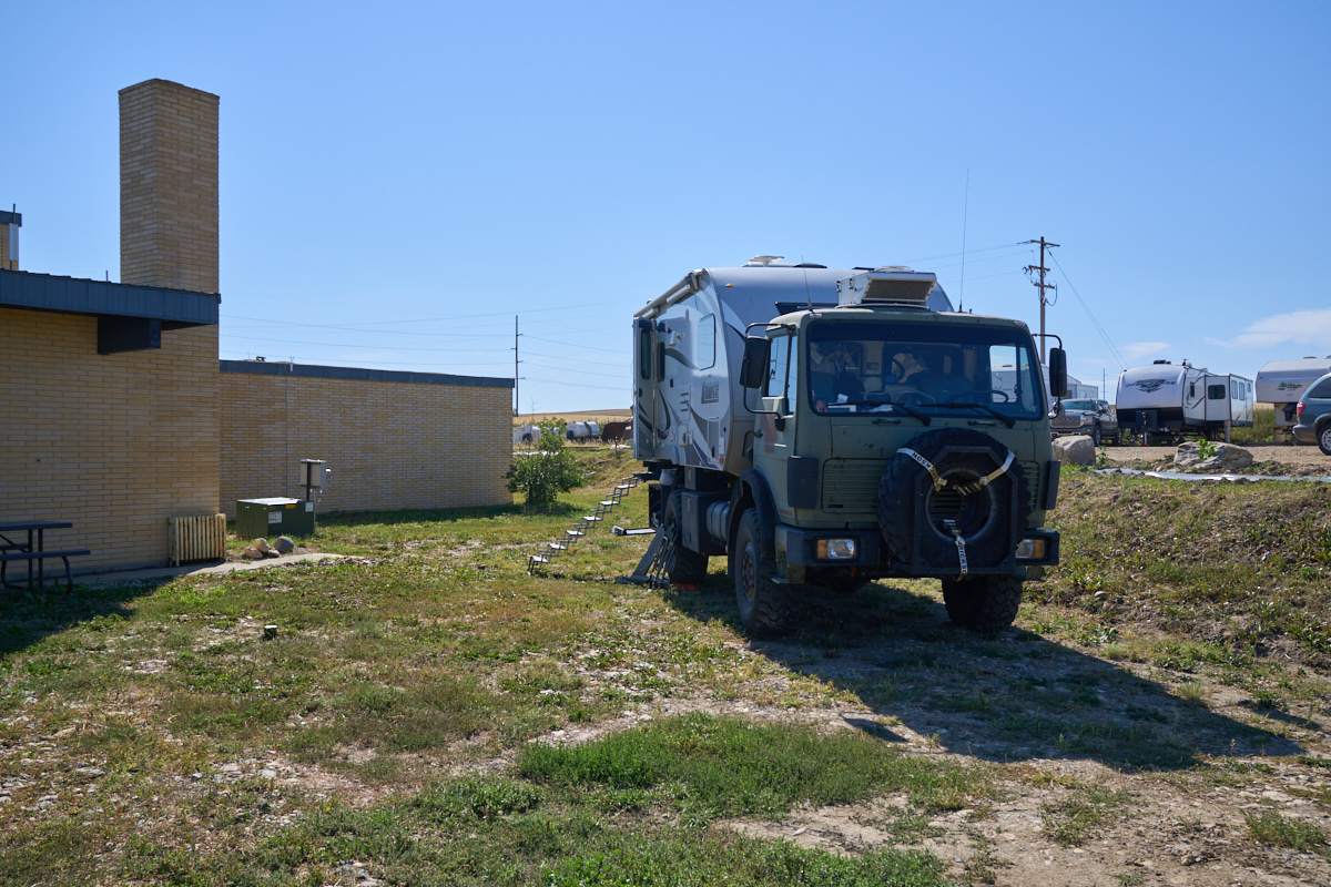
Our
destination for the day was Fortuna, ND. Kathleen found us
a place to stay which was at the Old School Complex, now turned
c-store, bar and RV park. We got a flat spot, but did not
have utilities -- we needed only flat ground. The bar was
frequented by locals who were all farmers, so they had some
interesting stories to tell. We stayed up late buying them
beers until they had last call. I was a bit fuzzy the next
morning.
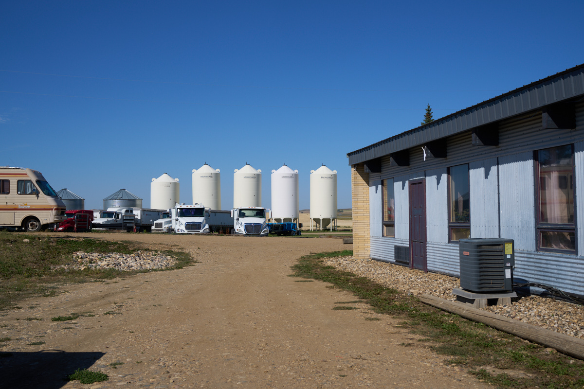
The old
school rooms were converted into bunks for oil workers.
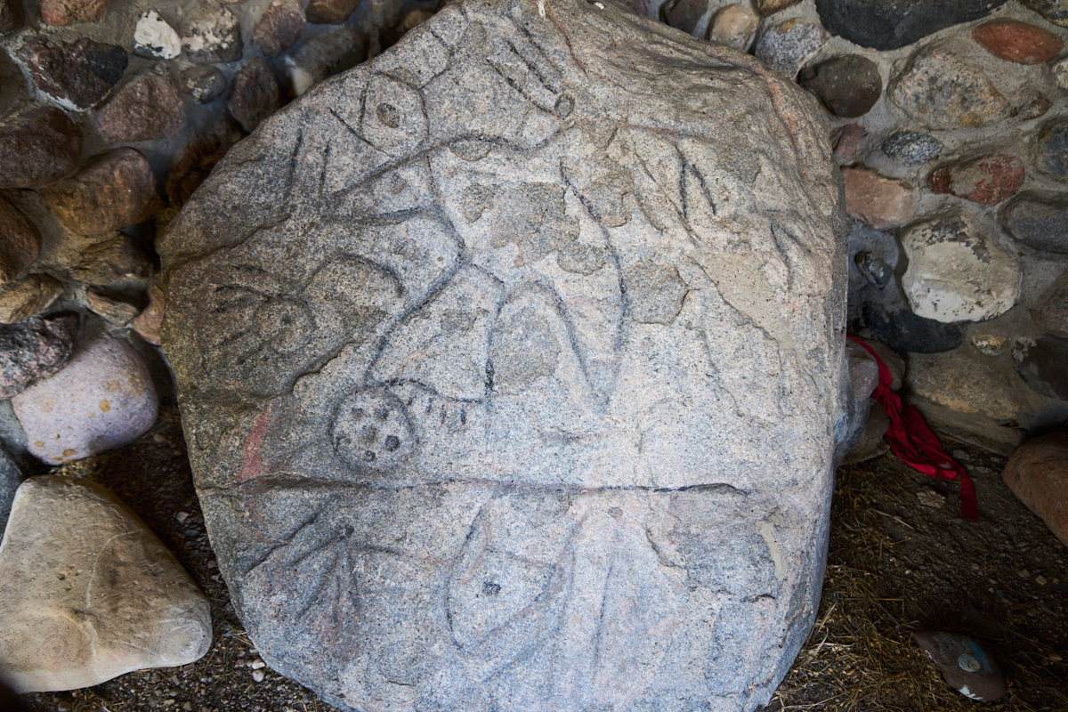
The
objective of this segment of the trip was to see Writing
Rock. Me made a several hundred mile detour to see this
artifact. The plains indians carved symbols into the rock,
the most notable is the Thunderbird. Unlike petroglyphs in
the west, these lines were carved into the base stone. It
took a long time and plenty of effort to create these
patterns. This is the primary stone.
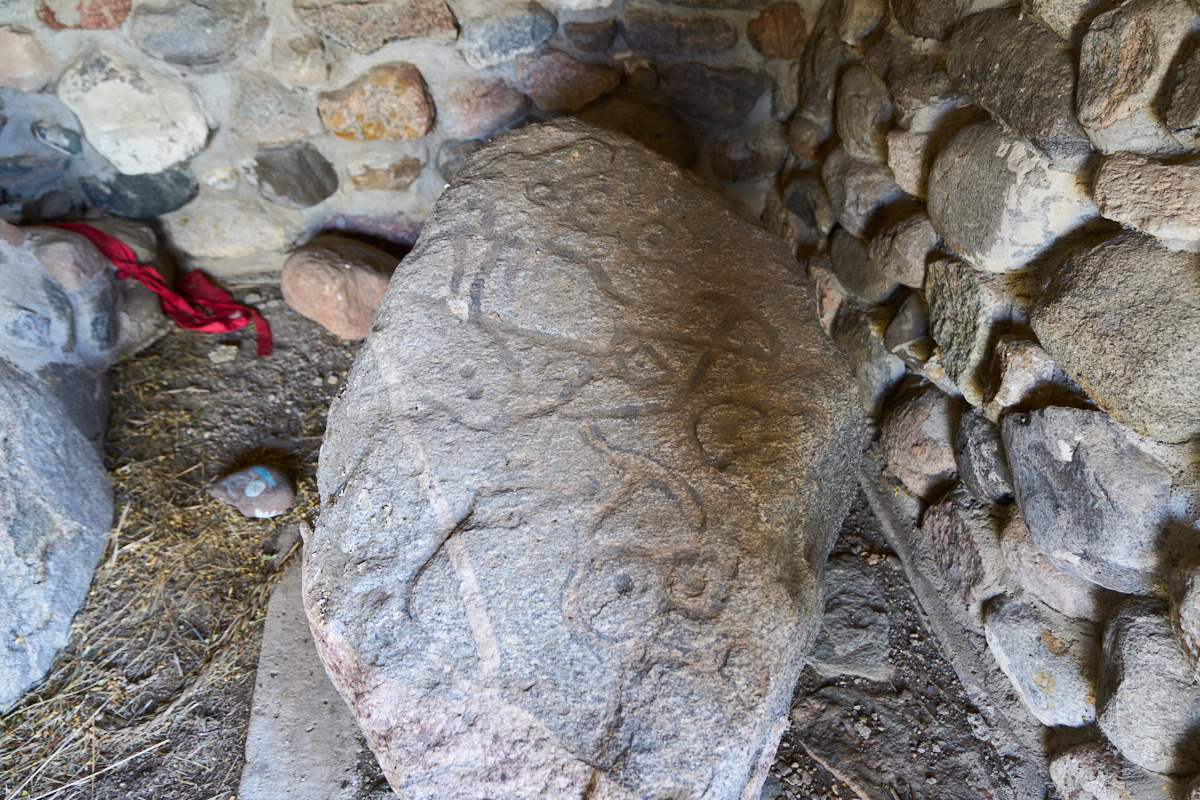
There
was a secondary, smaller stone that was covered with
inscriptions. From Writing Rock next to the border, we
headed due south toward the confluence of the Missouri and
Yellowstone Rivers.
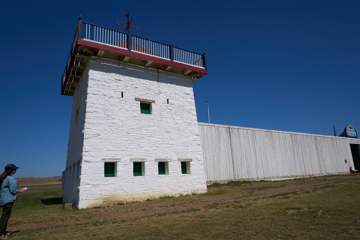
Fort
Union was a trading outpost at the confluence of the two biggest
rivers in the region. All commerce "back in the day" was
done via the river as it allowed moving heavy cargo with ease
(downstream). Furs were the currency of the day and
trappers brought their bounty here to be sold to eastern
markets. This fort is a reproduction, but the original
fort had good documentation so the location, size and
construction methods were well known resulting in an accurate replica.
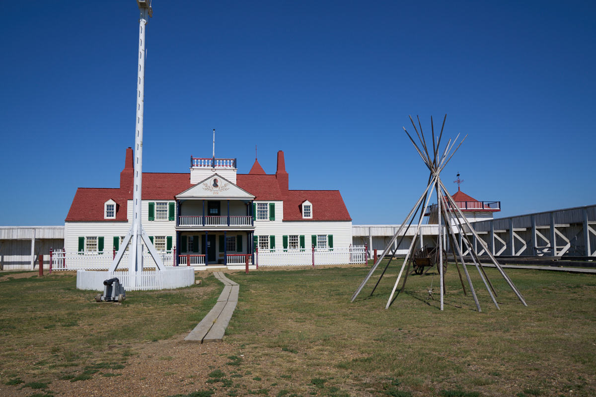
The
interior of the fort had quarters for the traders.
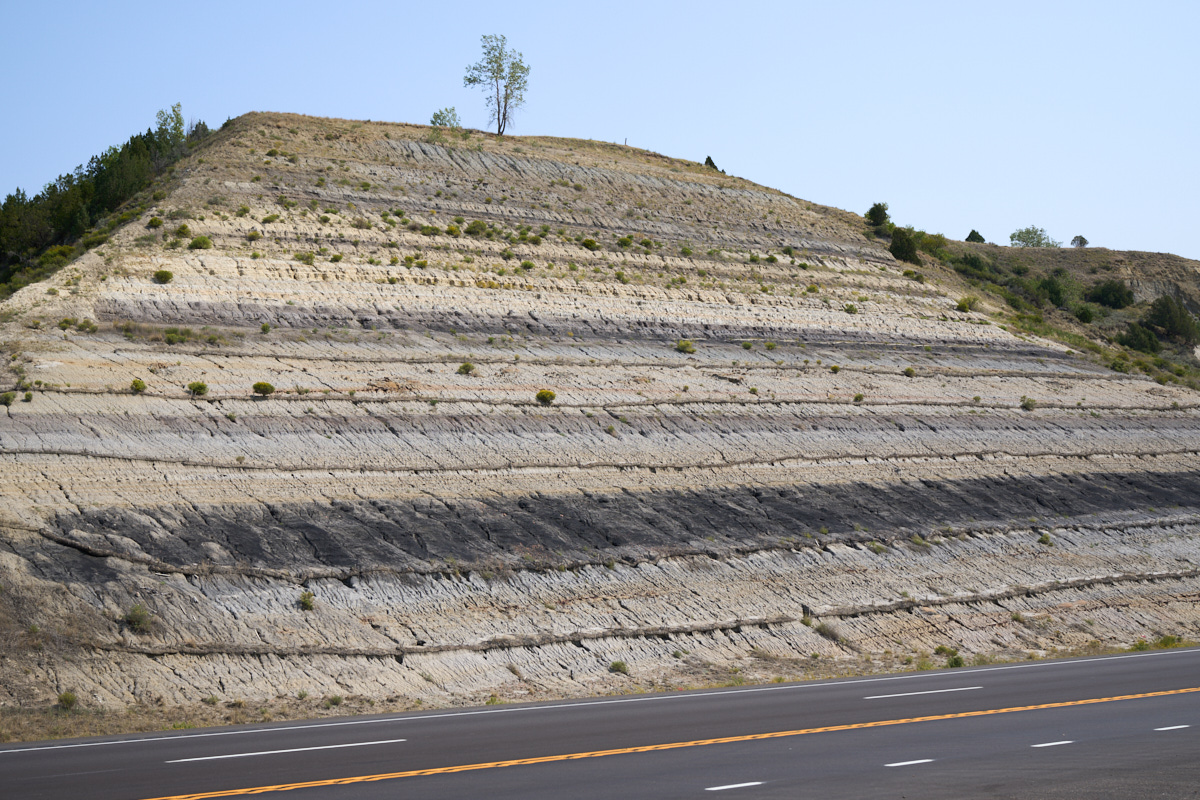
We passed a number
of road cuts that exposed the local stratigraphy. The
dark layer is likely low-grade lignite coal.
| Previous Adventure | ||
| Trip Home Page |
Photos and Text Copyright Bill Caid 2021, all rights
reserved.
For your enjoyment only, not for commercial use.