The photos below are what we saw.
By pure
accident, we spotted a Minuteman missle site next to the road
and it had an open gate. We went to investigate and found
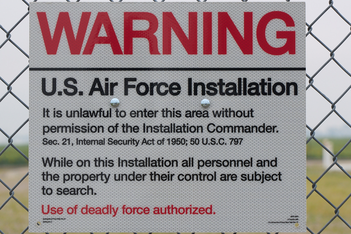
that this site, November-33, was decommissioned and had been
turned into a "museum".
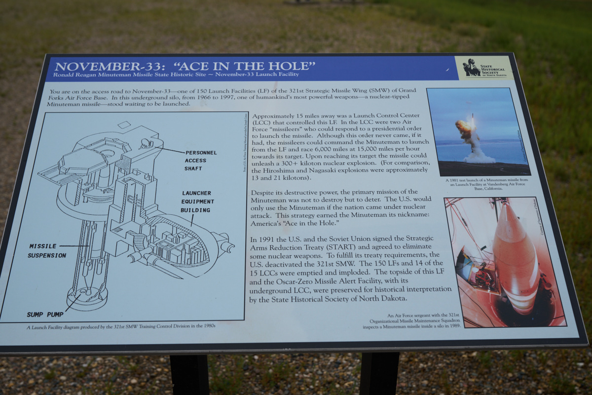
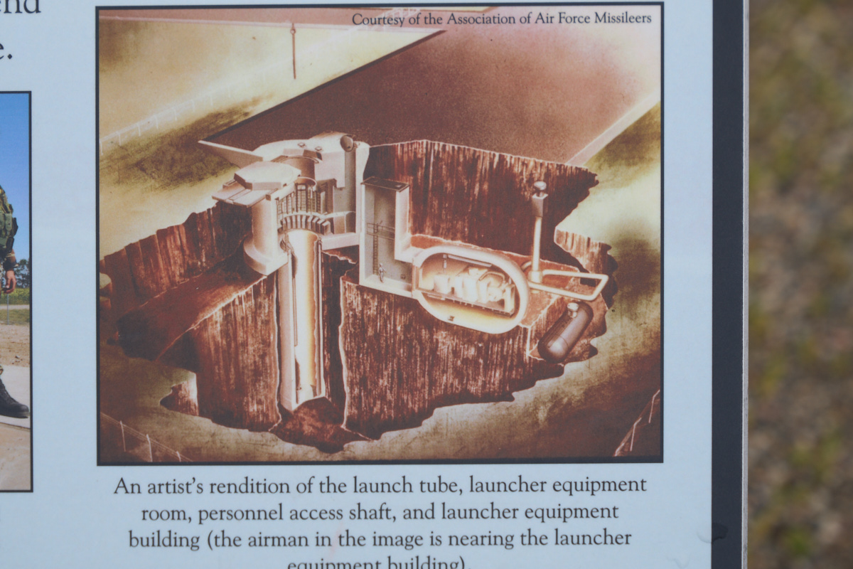
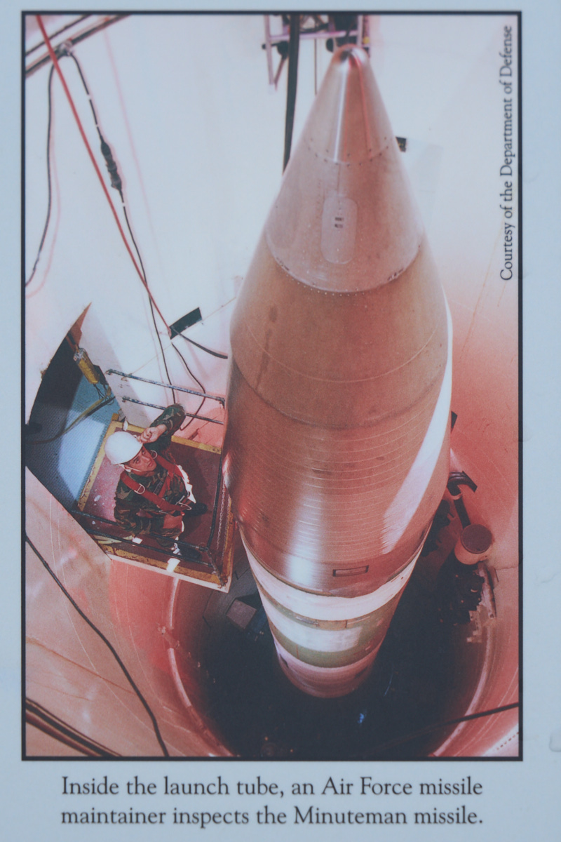
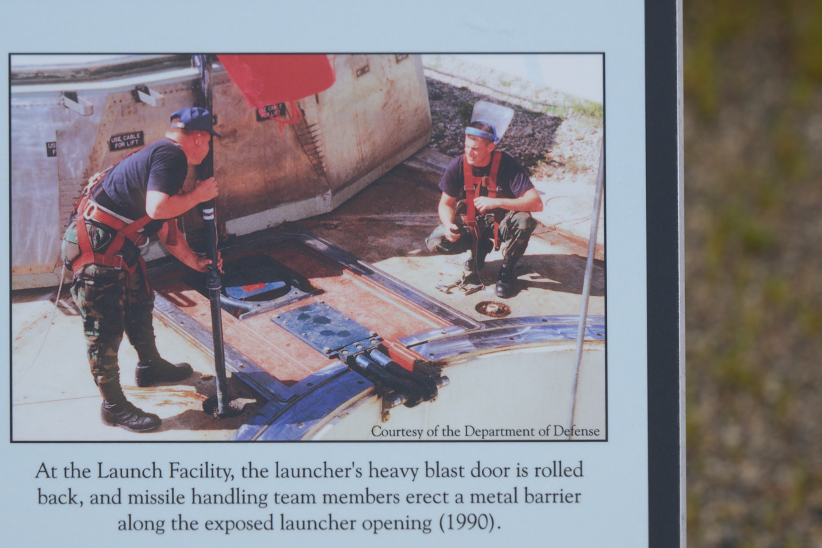
There
were plaques that described the system.
I took
photos of some of the plaques and reproduced them here.
No
external equipment was present at the site.
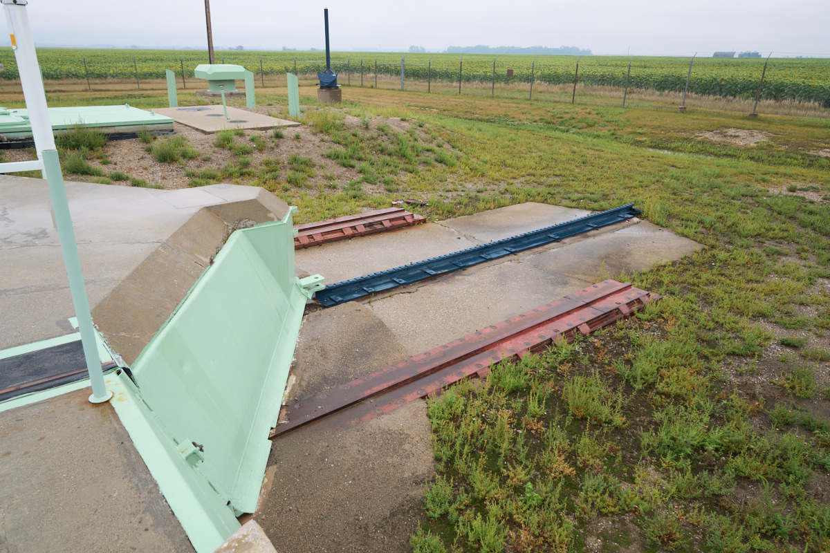
The
blast door was huge and required special equipment to move
it. The shovel-nose was used to push debris and snow from
the opening.
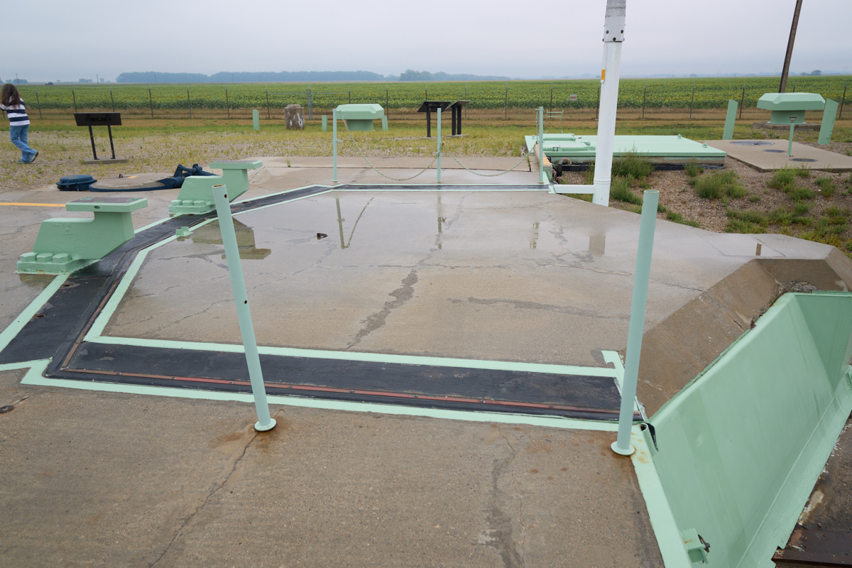
Note the
missile loading brackets to the left of the door.
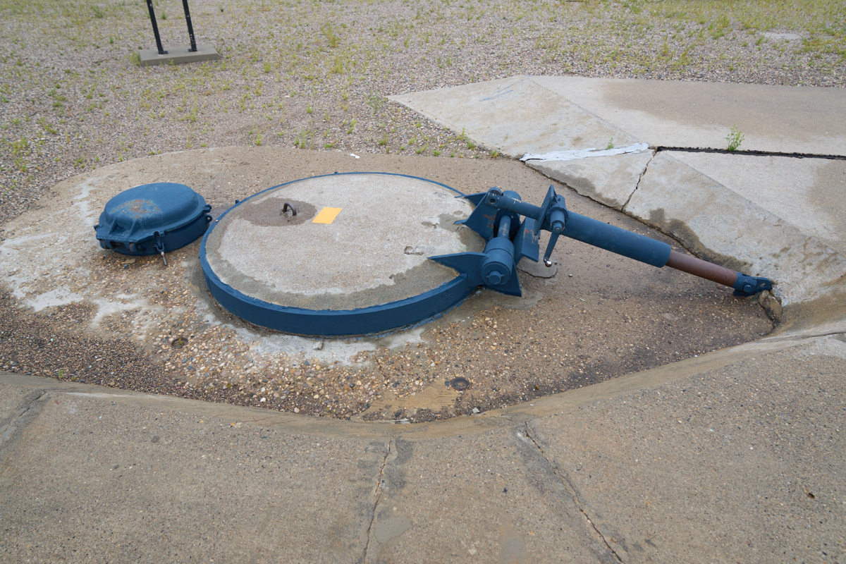
The
personnel access to this unmanned site was through a manhole
that was plugged with a 10,000lb+ door.
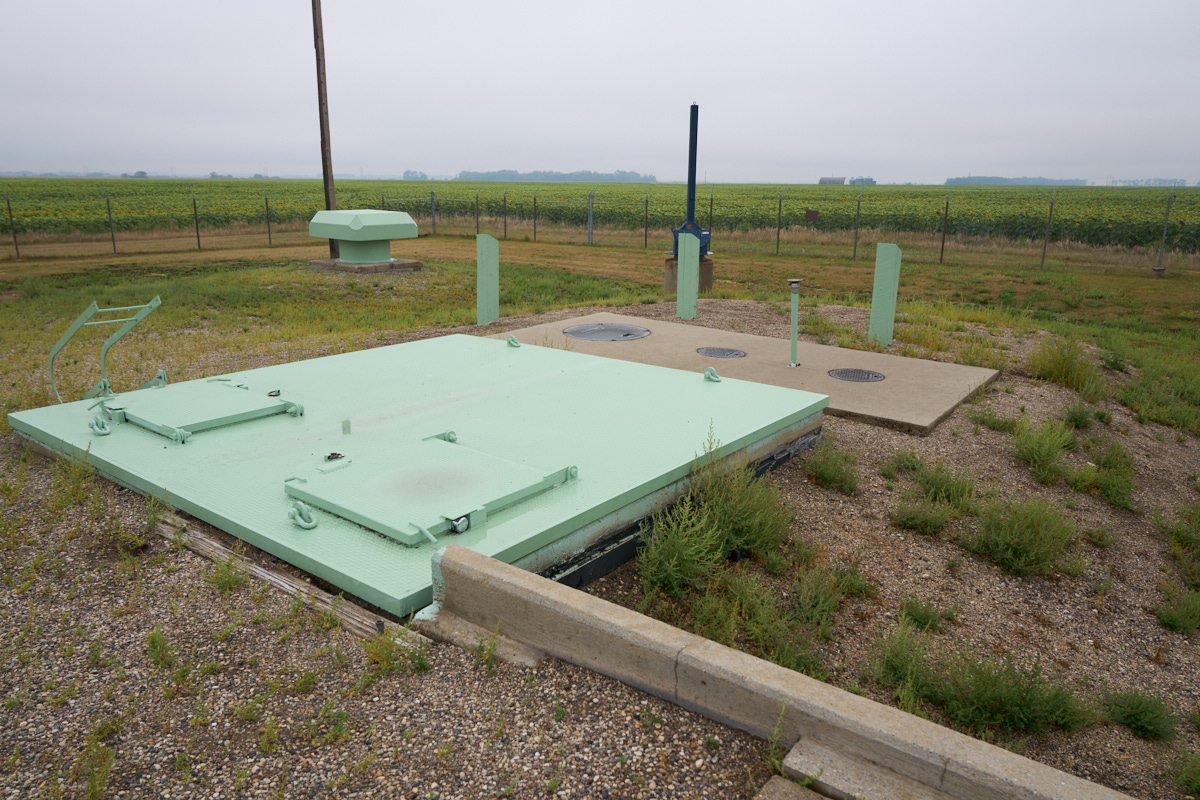
Equipment
access doors.
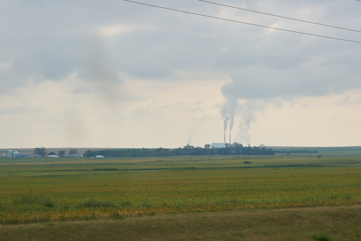
As we
approached Garrison Dam we spotted this monstrosity on the
western horizon. This coal-fired generation plant is fed
by nearby mines.
 '
'Our path
took us next to one of the strip mines that serviced the power
plant.
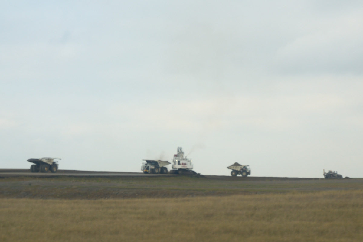
Despite
a bit of motion blur in the photo above, the size of the mine
can be determined by the amount of equipment in service.
These are huge trucks.
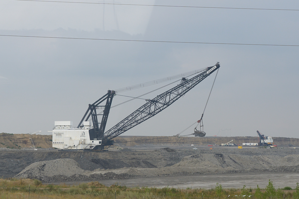
Further
down the road we spotted a huge dragline at work.
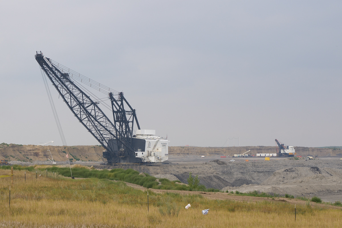
The
dragline is massive and dwarfs everything around it.
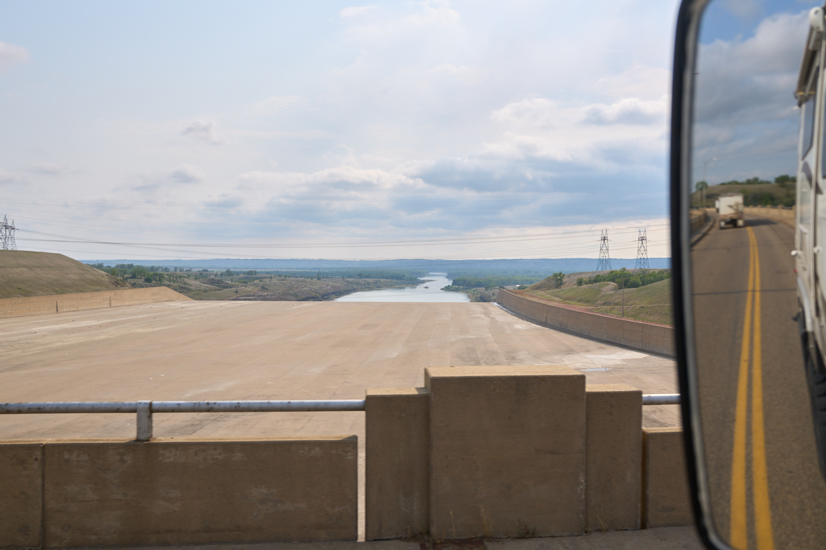
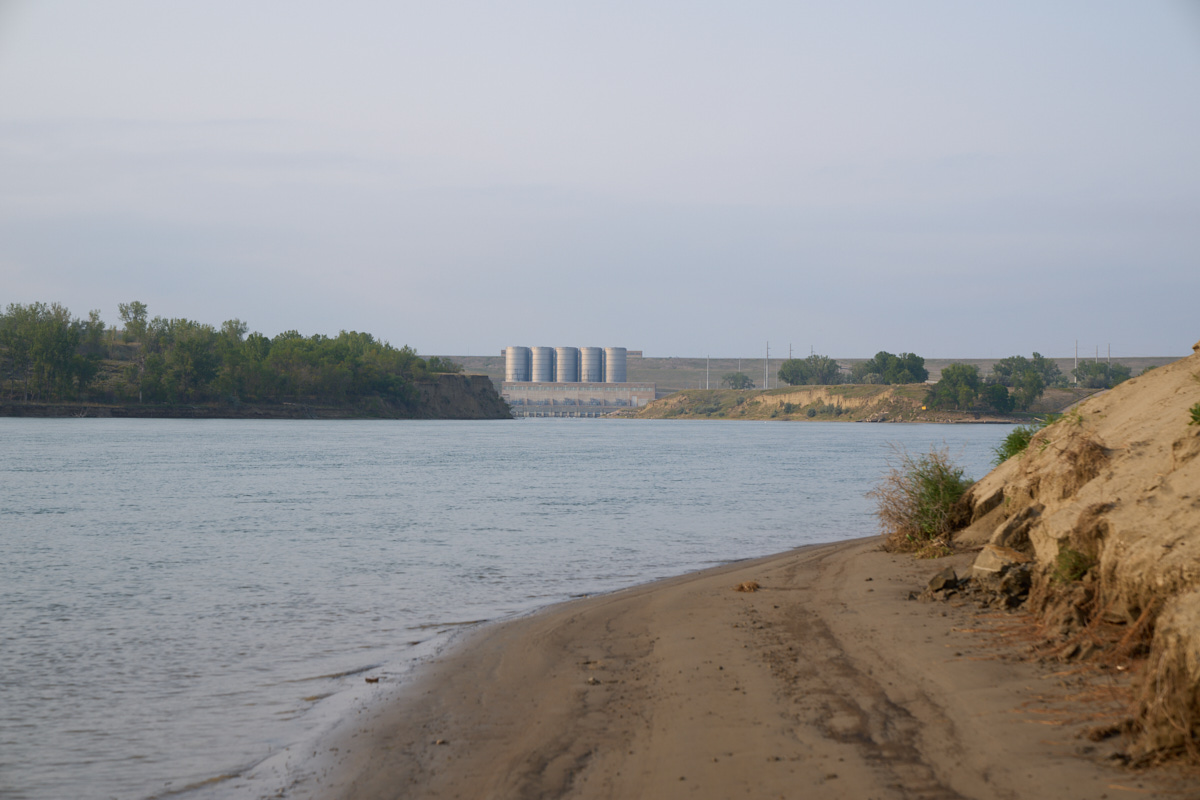
Our route
took us over Garrision Dam and we got a nice view of the
spillway.
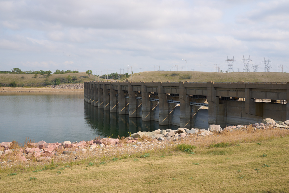
A shot
of the spillway control gates.
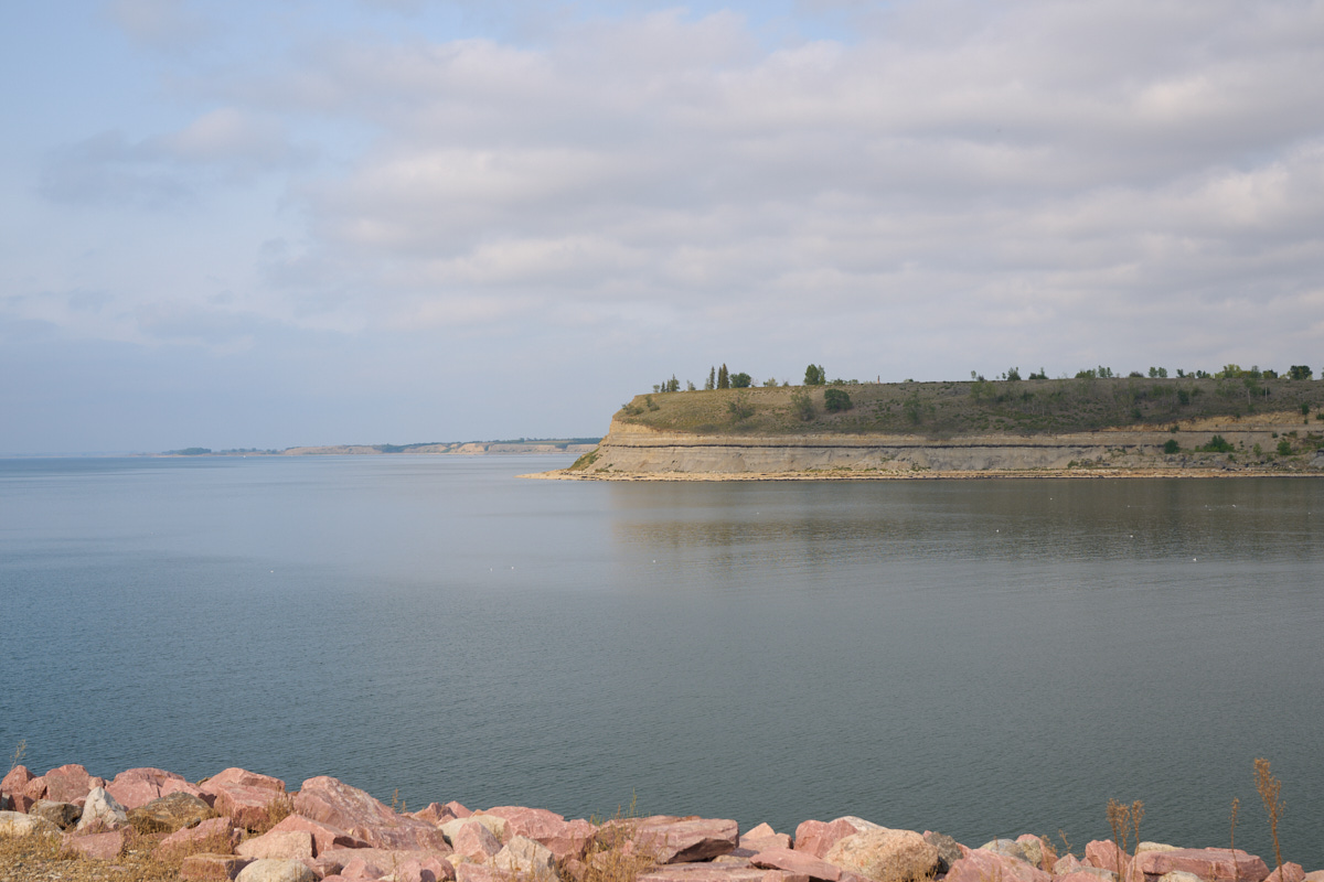
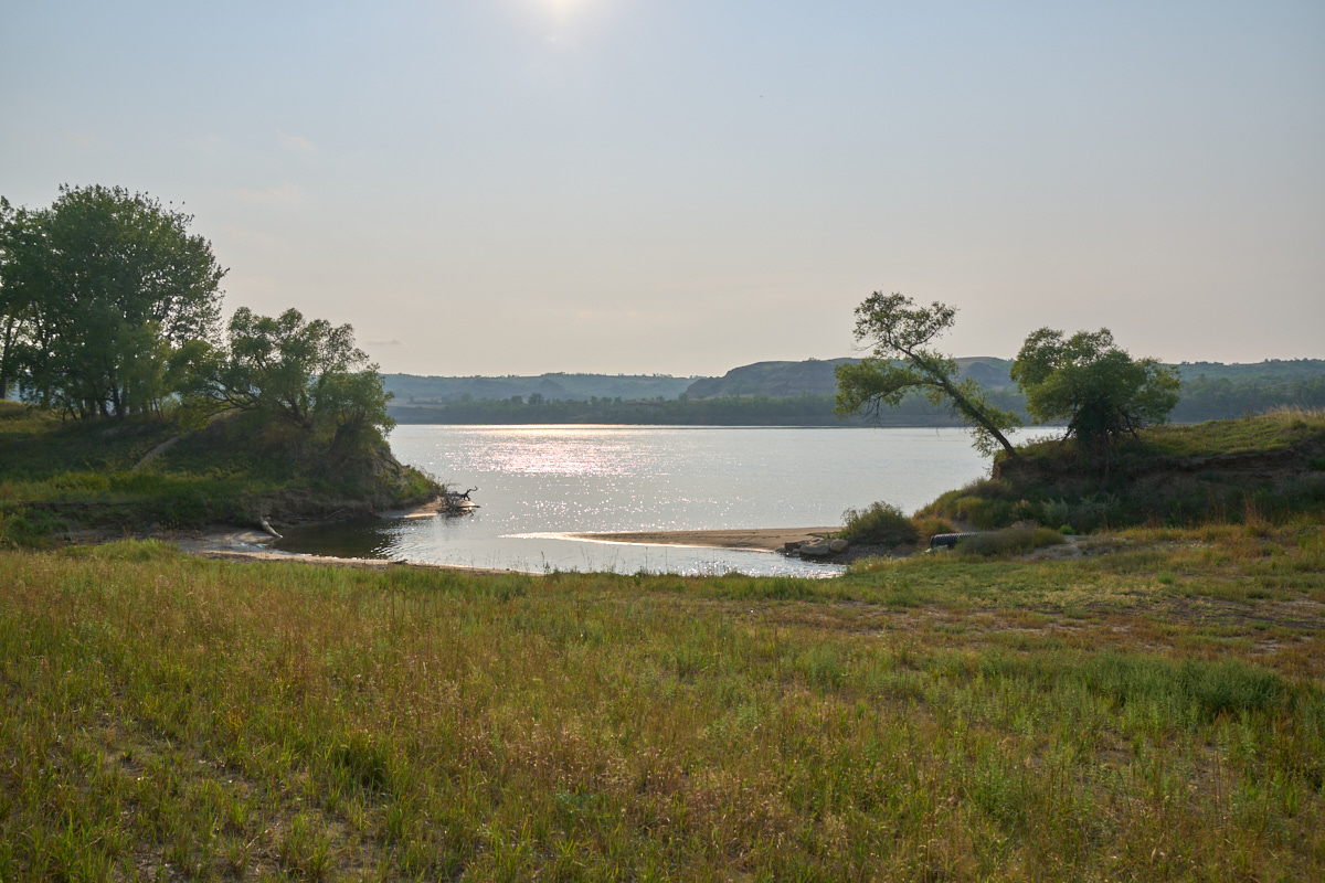
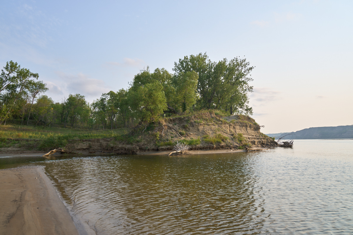
The
eastern shore of the reservoir had steep shores.
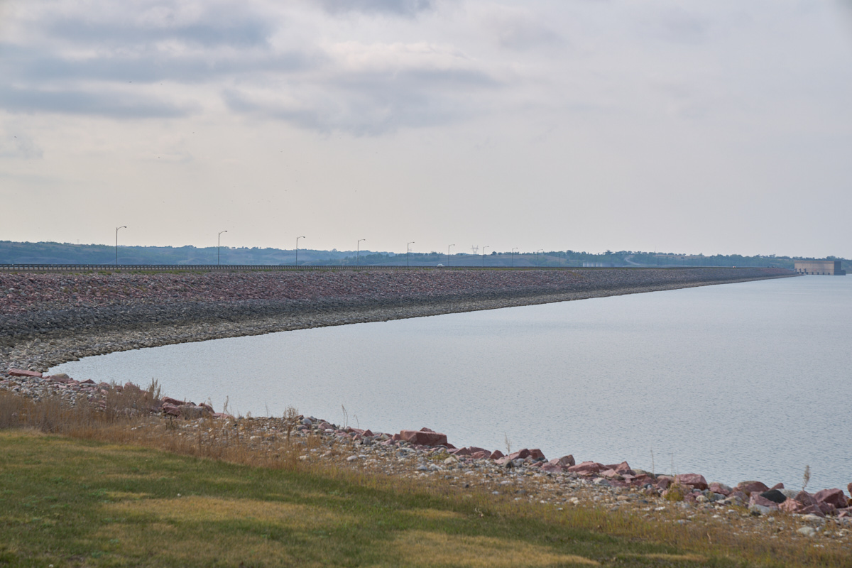
Garrison
Dam is huge in its scope. This is an earthfill dam that
spans the entire Missouri River. Built by the Corp of
Engineers, its purpose is downstream flood control. The
previous heights of the lake can be seen by the stripes on the
rocks.
| Previous Adventure | ||
| Trip Home Page |
Photos and Text Copyright Bill Caid 2021, all rights
reserved.
For your enjoyment only, not for commercial use.