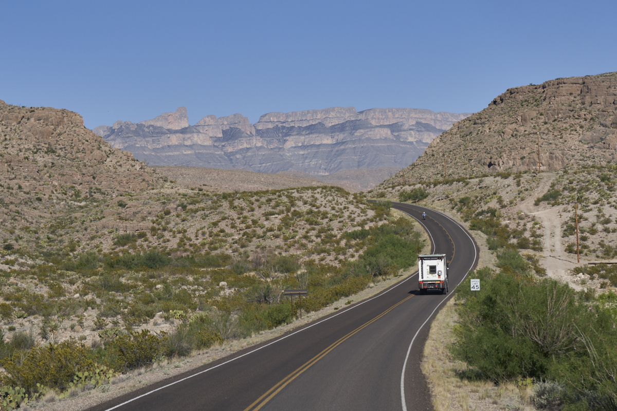
The
group did a "veg day" and stayed at camp. Kathleen and I
decided to ride the unicycles to Boquillas Canyon and have a
look. What we did not count on was the strong winds that
started after we were well away from camp. We prevailed in
the end, but came back to camp to join in the veg session.
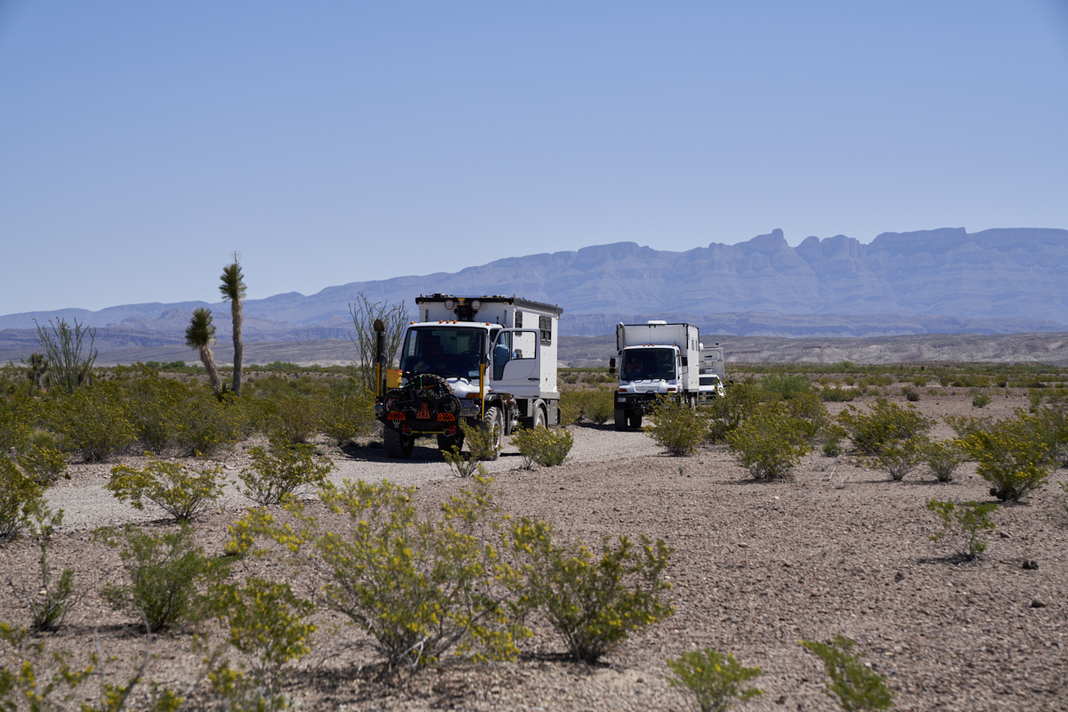
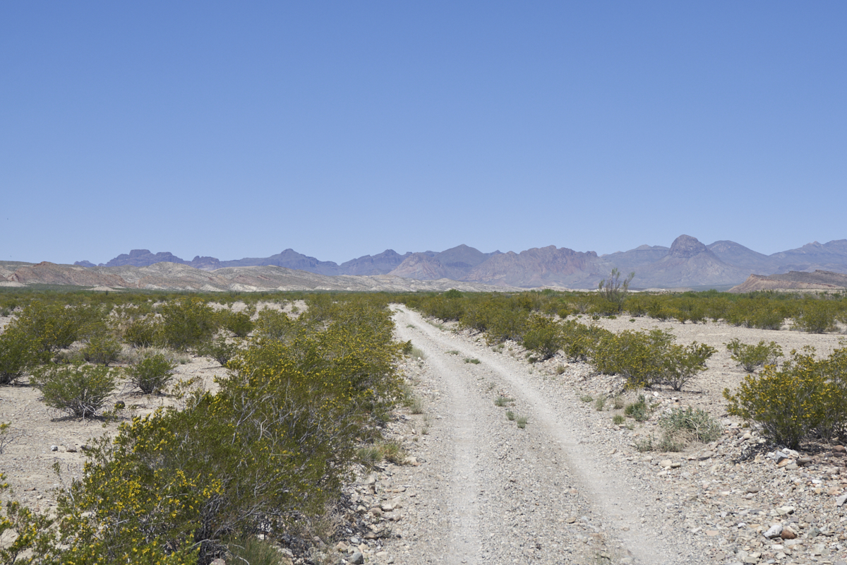
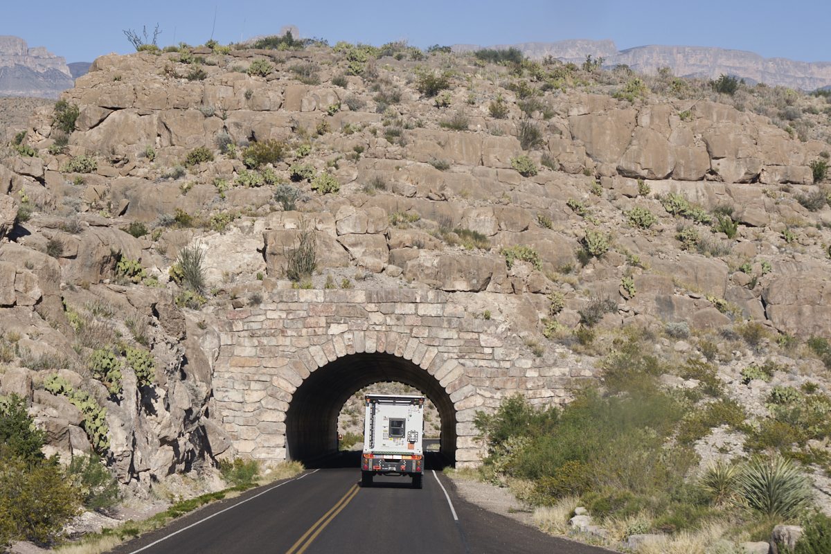
The
following day, we did a trip along "River Road" which is a rough
30+ mile 4x4 trail that follows the Rio Grande from Rio Grande
Village to Santa Elena Canyon. Kathleen and I had done
River Road before in our Unimog 1300L but that was back in 2009
so our memories were sketchy. It was close to what I
remember, but rougher than the other members of the group were
expecting. But, once you are rolling, "in for a penny, in
for a pound". The trail was 6 hours, so roughness can be
judged from travel time.
The photos below are what we saw.
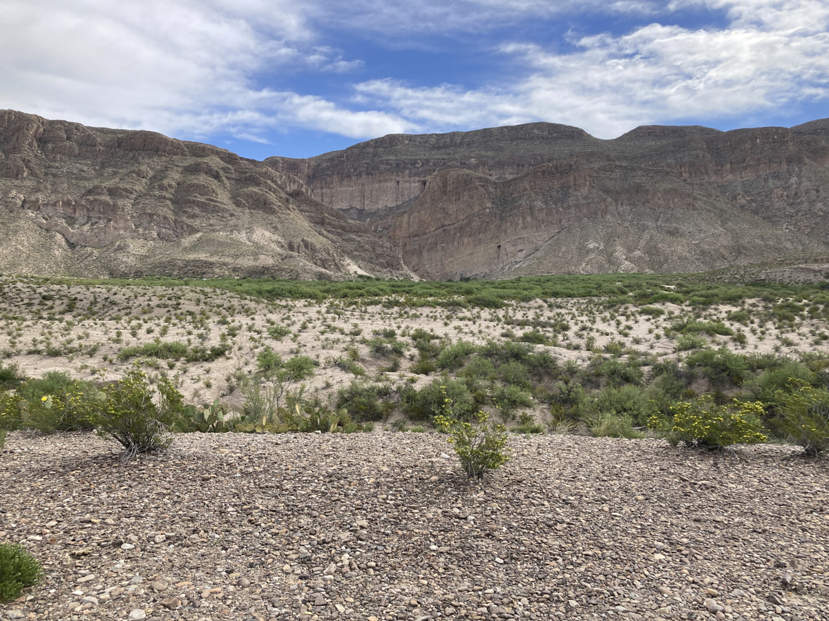
We
rolled out of camp on the EUCs and headed north toward the
Boquillas Canyon overlook. Despite the strong winds and
steep grades on the road, we arrived unscathed. Above is
the view of Boquillas Canyon from the overlook. These
cliffs were cut by the erosion of the Rio Grande river as the
Sierra del Carmen escarpment rose from below.
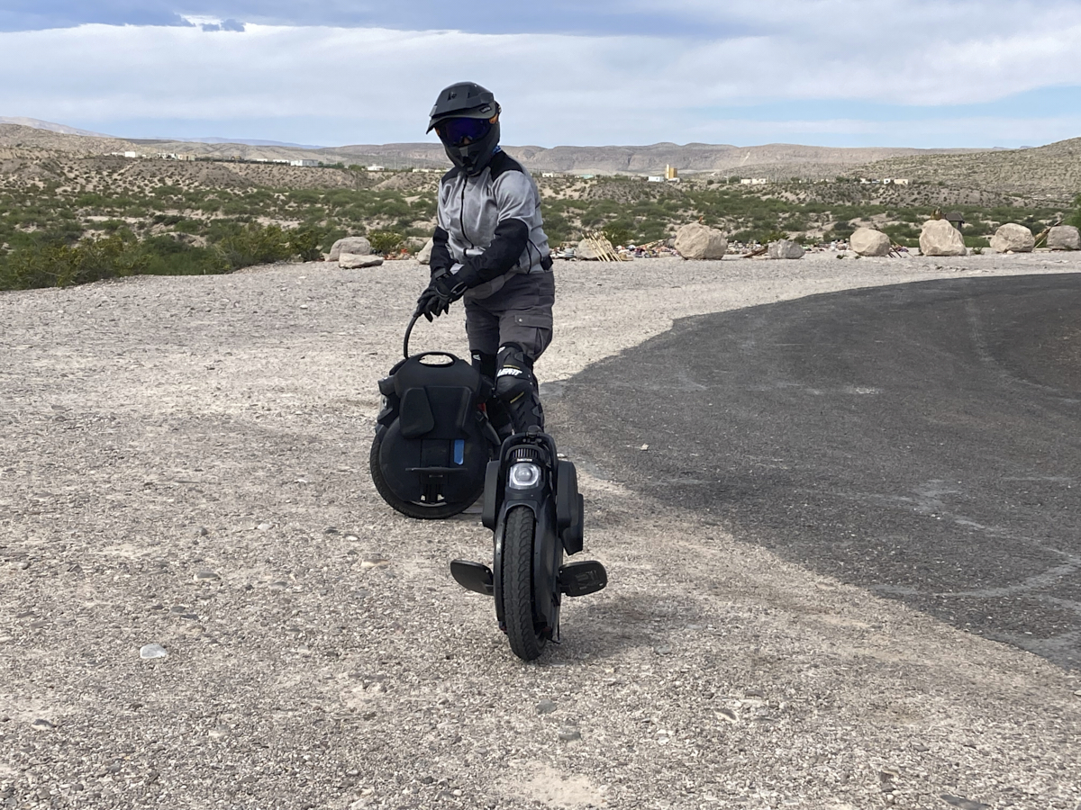
Kathleen
rolled in behind me as I was taking photos. We were riding
our Inmotion V11 electric unicycles (EUC). They are great
fun on windless days (which this one was not) and can handle
reasonably steep grades (without wind). Combine the
headwind and the grade and you slow to a crawl making balancing
difficult. Note the full safety gear.
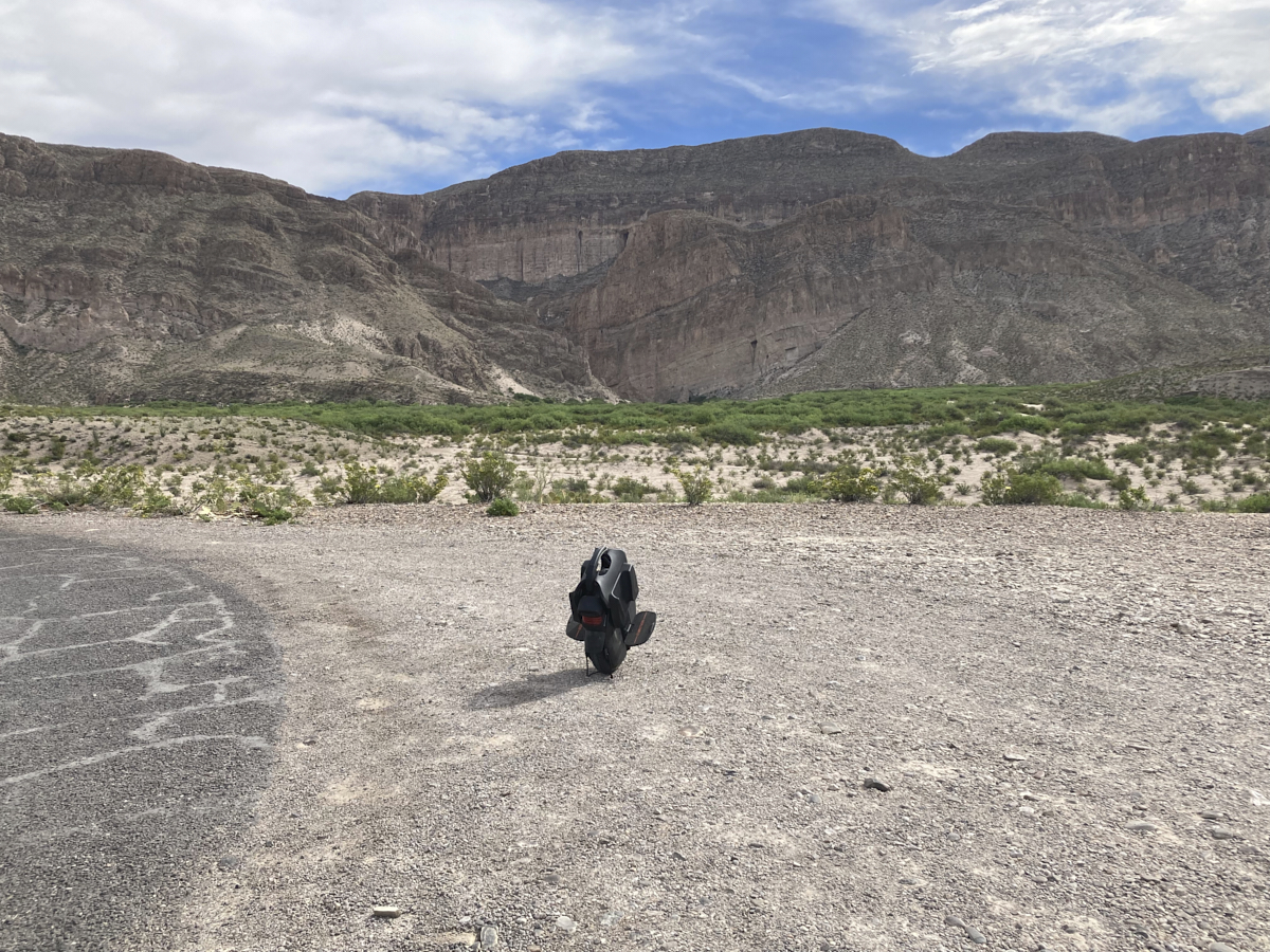
My EUC
with Boquillas Canyon in the background. Our total roll
was about 12 miles.
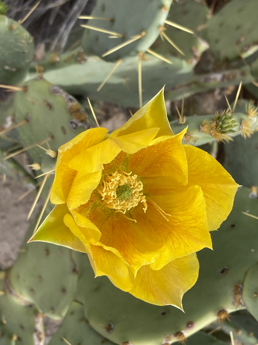
At the
overlook, we found some Prickly Pear cactus in bloom. The
blooms are big and have nice structure.
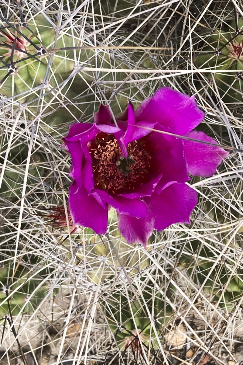
The Pin
Cushion cactus were also in bloom, albeit with purple
flowers. Note the wall of thorns to prevent the local
animals from eating the cactus.
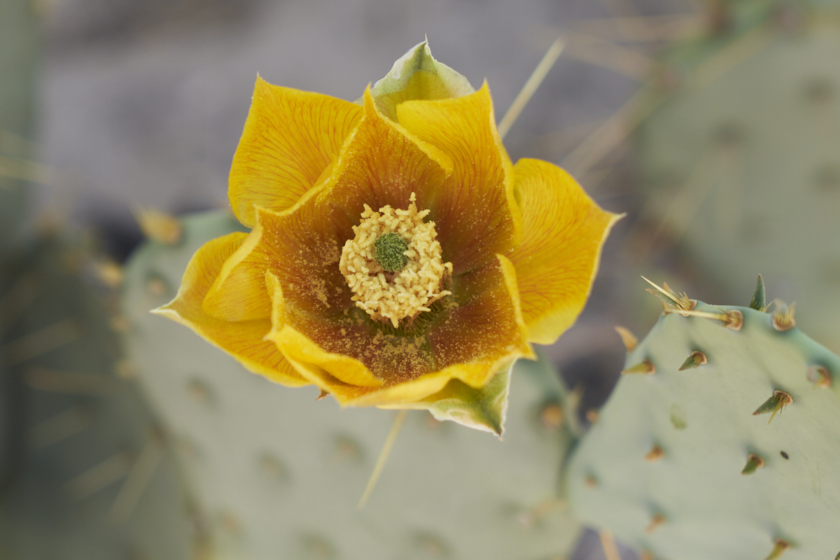
Some of
the blooms were heavily dusted with pollen.
Kathleen
was daunted by the wind so we elected to turn around at the
overlook and head back to camp. As the afternoon sun moved
lower in the sky it provide good light on the rugged peaks and
cliffs of the Sierra del Carmen to the east of our camp.
The
following morning, we broke camp and headed back to the
overlook, this time in the trucks. The wind was still
strong but essentially irrelevant since we were in the
cab. Above is a view of Boquillas Canyon from the overlook
point.
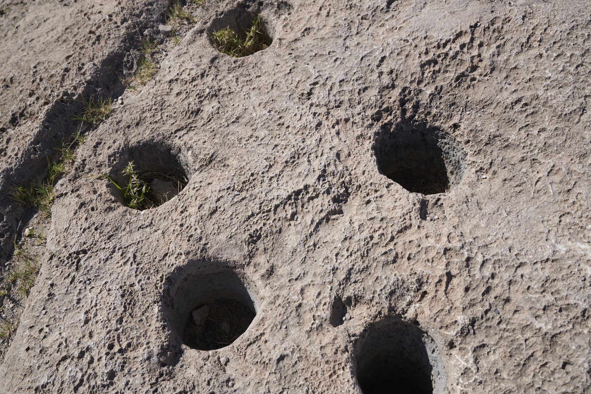
We left
the overlook and continued on to Boquillas Canyon right on the
Rio Grande. We took the trail toward the canyon and came
upon these morteros. Morteros, in combination with a
"mano", were used to grind mesquite and other beans in
preparation for cooking. The base rock is limestone (as
evidenced by the surface pock marks) and is soft relative to
granite river cobbles which were typically used as the
manos. The depth of the holes combined with their number
suggest this site was occupied over an extended period of
time. Given the proximity of the river and the general
lack of water elsewhere, this is not a surprise.
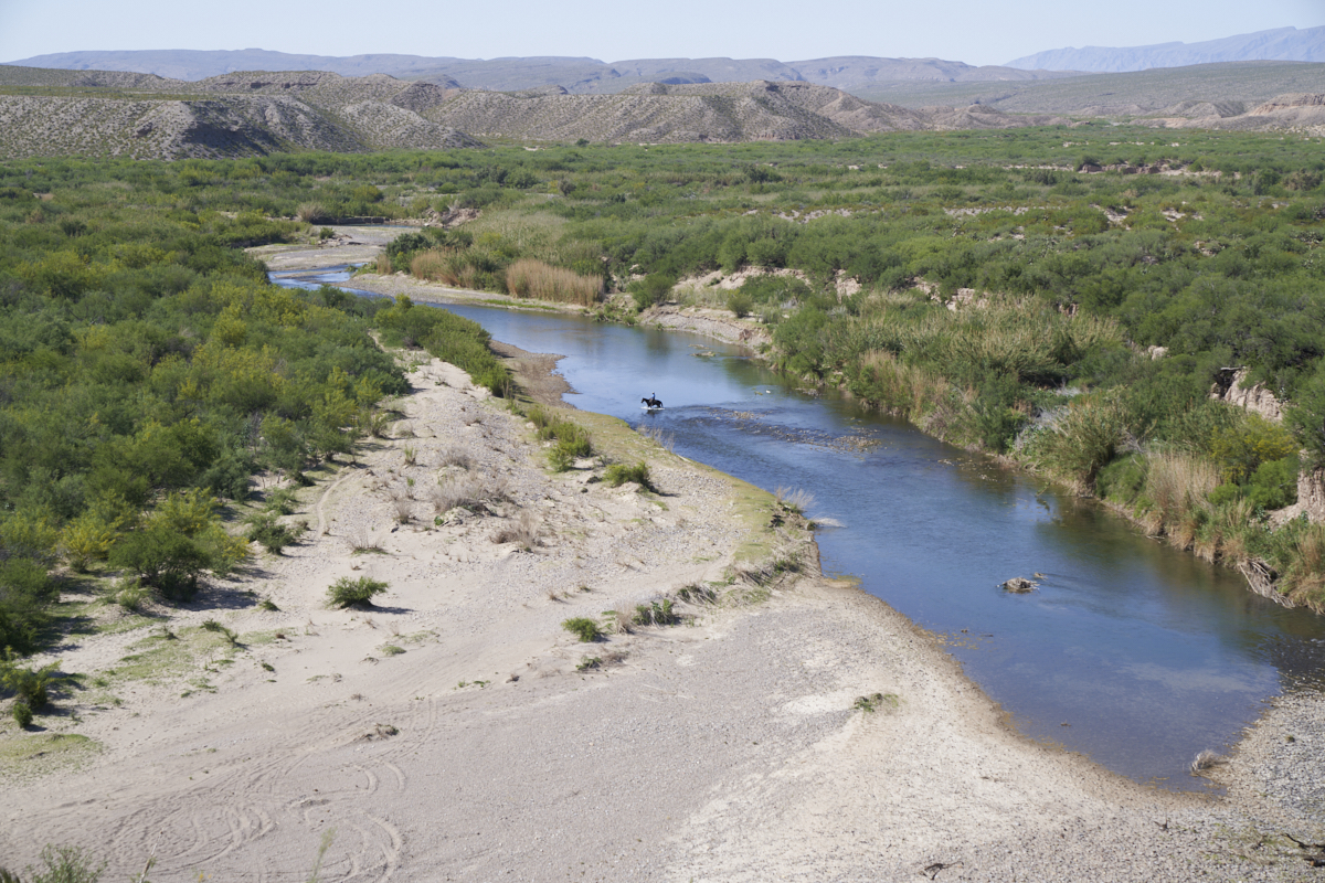
It does
not look like much by eastern standards, but this is the
"mighty" Rio Grande River. In addition to being the major
drainage in the area and the only water supply for many miles in
any direction, it also serves as the border between Mexico and
the United States. The horseman in the center of the photo
above is illegally crossing the border into Mexico. He was
likely chasing cattle that graze in the grass near Rio Grande
Village.
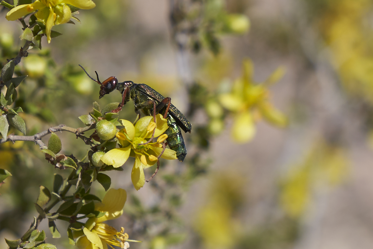
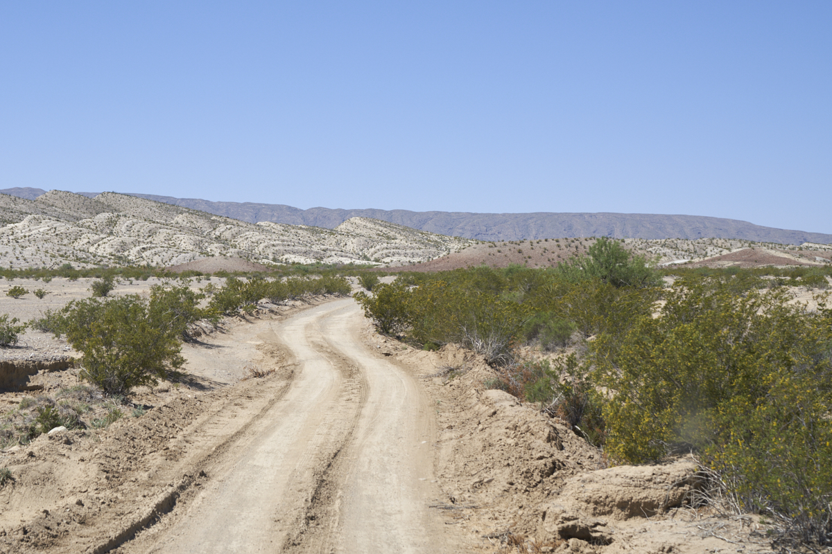
We left
Boquillas Canyon and started heading west on River Road.
At a bio-break I spotted this odd insect working the blooms on a
Creosote bush. Not sure what species this is, but it looks
positively alien.
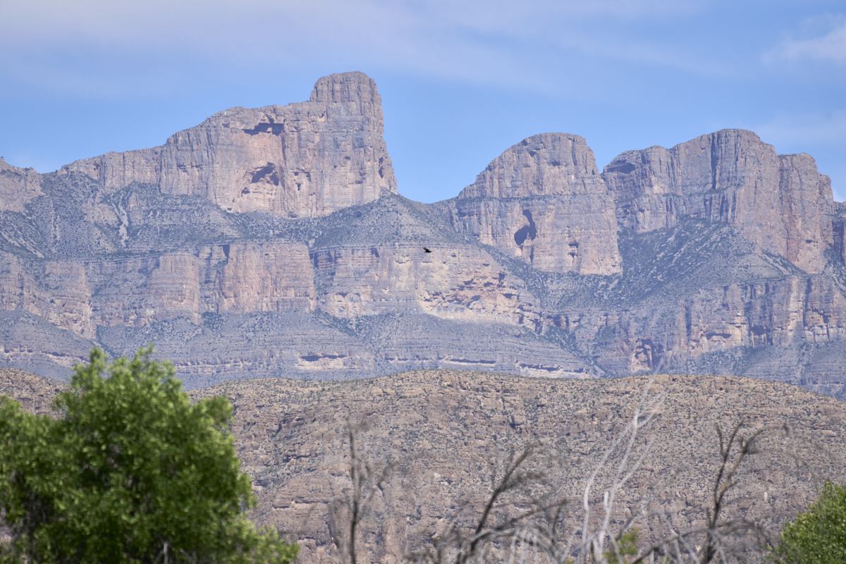
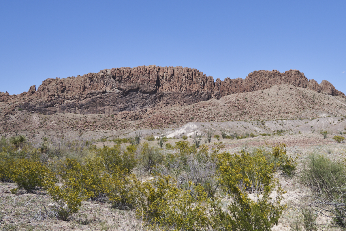
Our
first stop on the River Road trail gave us a good view of the
peaks on the crest of the Sierra del Carmen to the east of our
position.
The
trail showed evidence of recent rains and the ruts indicate that
it was not an easy passage for whoever was on the trail that
day. Note the erosion patterns on the far hills.
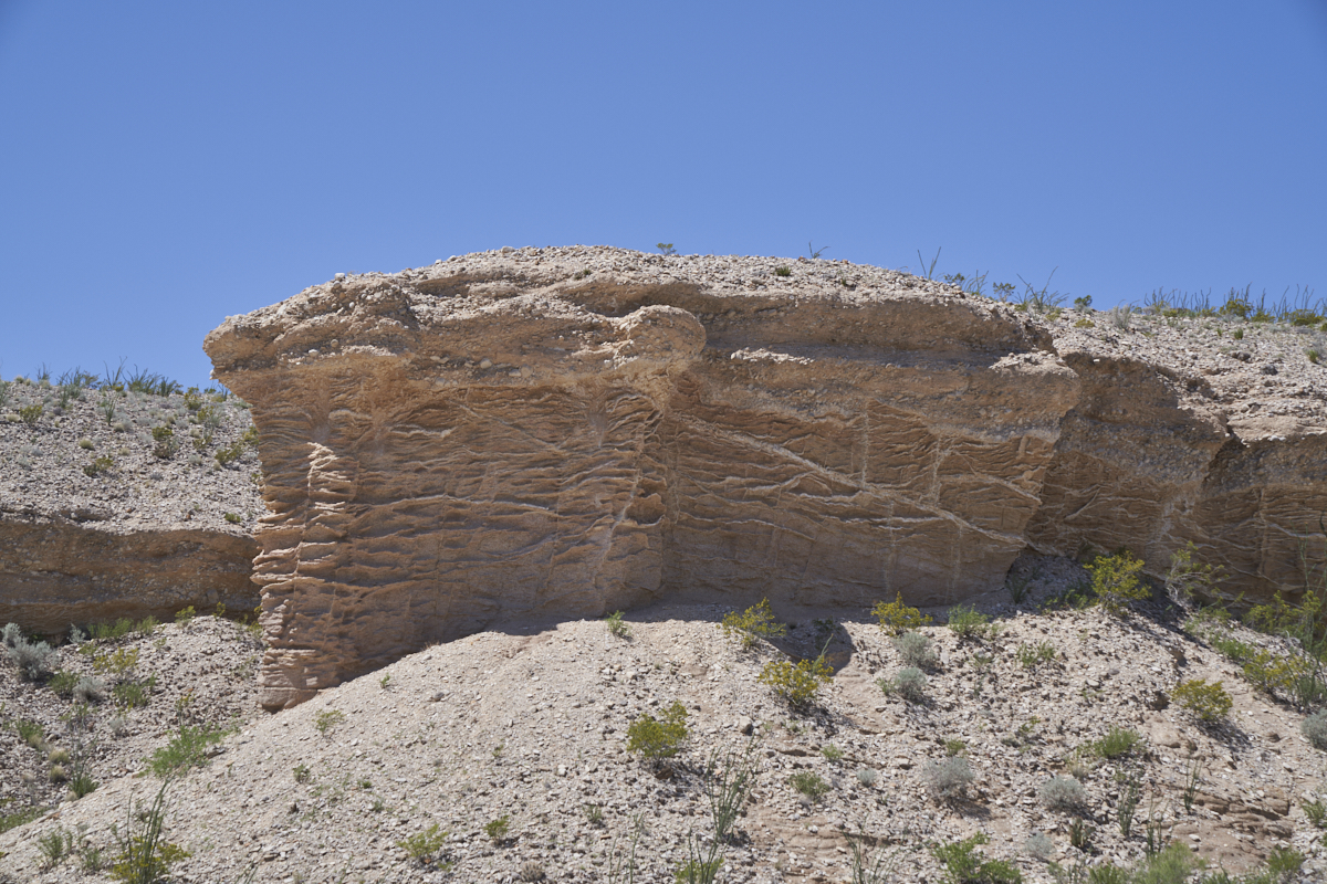
These
cliffs show interesting patterns due to erosion of the softer
material.
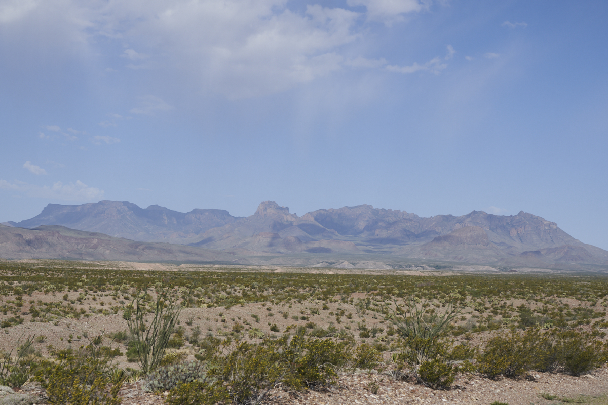
In the
distance, the southern foothills of the Chisos Mountains were in
our path.
We
arrived at the old Mariscal Mine site, but the group decided to
continue on rather than explore. This mine was used to
extract cinnabar ore that would be refined into Mercury metal.

On the
southern flanks of the Chisos we could see twin volcanic buttes
that are named "mule ears".
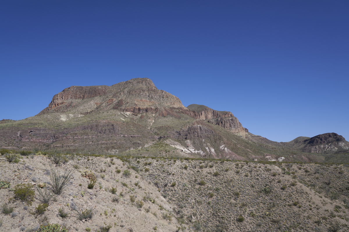
This
volcanic cliff shows the "layer cake" pattern common when
subjected to multiple volcanic flows.
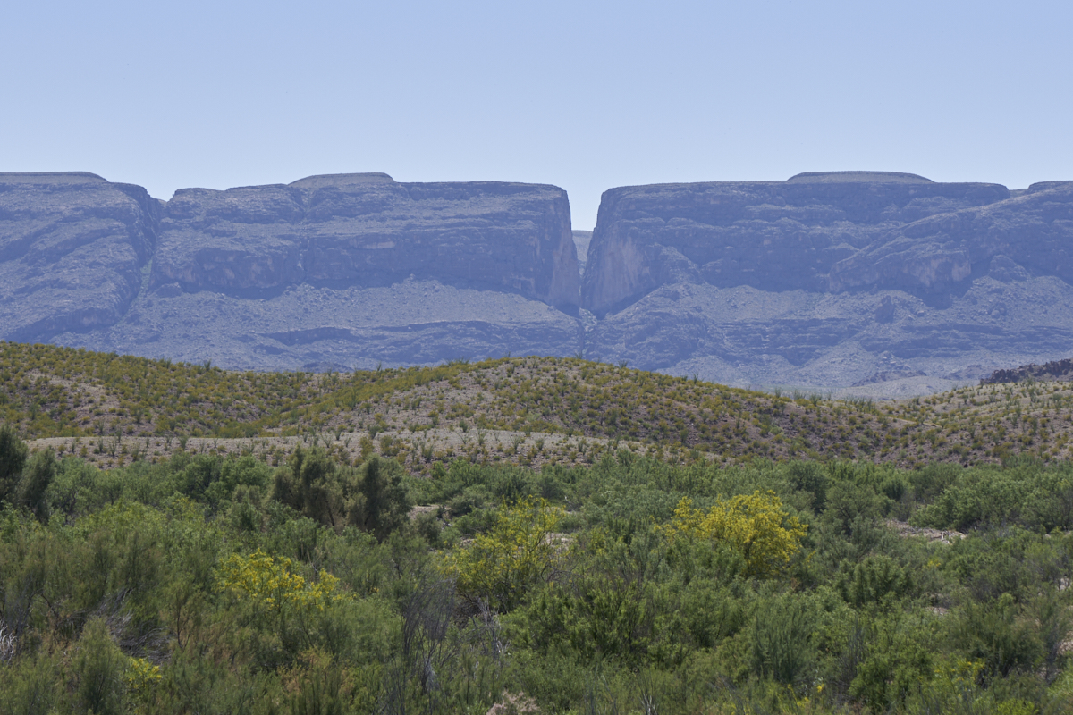
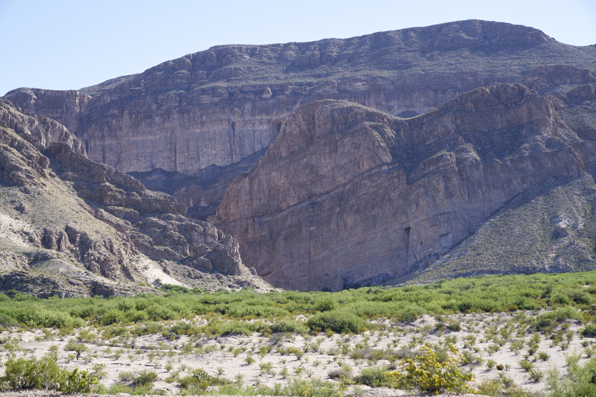
Further
to the west, we got our first view of Santa Elena Canyon on the
Mexican side of the border. This is a true slot canyon and
was cut through the ridge by a small creek. Another,
smaller, canyon is visible in the left of the photo above.
The Rio Grande is hidden behind the close ridge in the
foreground and the large ridge in the background.
Another
large volcanic outcropping just to the north of Santa Elena
Canyon. When we reached the asphalt road near Santa Elena
Canyon, the crew decided it was time to head back to camp.
We headed toward Panther Junction and rolled north, then east.
| Previous Adventure | ||
| Trip Home Page |
Photos and Text Copyright Bill Caid 2023, all rights
reserved.
For your enjoyment only, not for commercial use.