After
traversing the Chiracahua Mountains, we headed north and east
into New Mexico. Our destination was City of Rocks south
of Silver City. Despite a detour, we arrived at the park
during daylight hourse.
The photos below are what we saw.
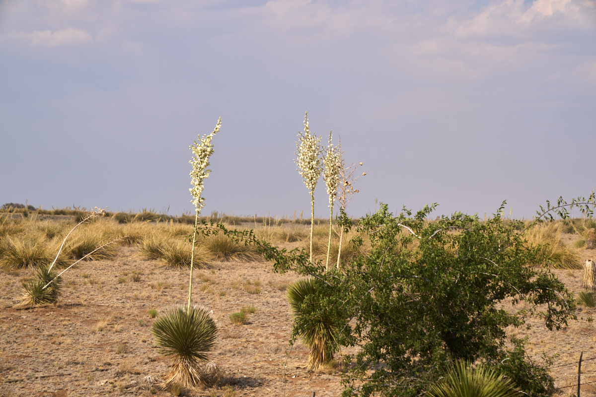
Our path
took us past yucca cactus in bloom. The blooms had a
subtle fragrance, but sufficient enough to attract insects and
bats to assist in pollination.
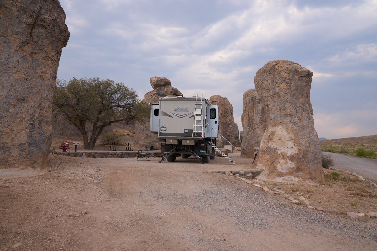
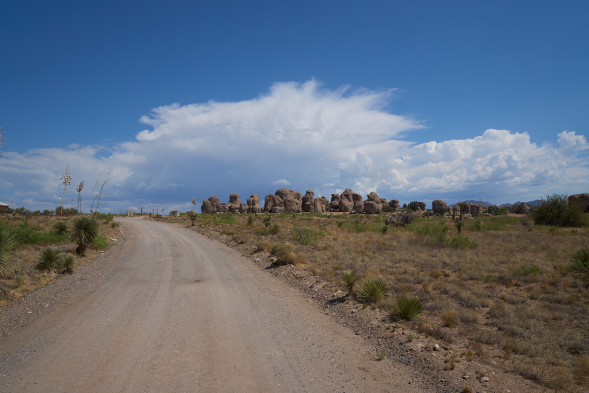
We
elected to take a remote camp that was away from others.
Our site was pretty level and right next to some interesting
standing rock formations.
Thor-with-camper
is nearly 14 feet tall, so the sizes of these formations can be
judged accordingly.
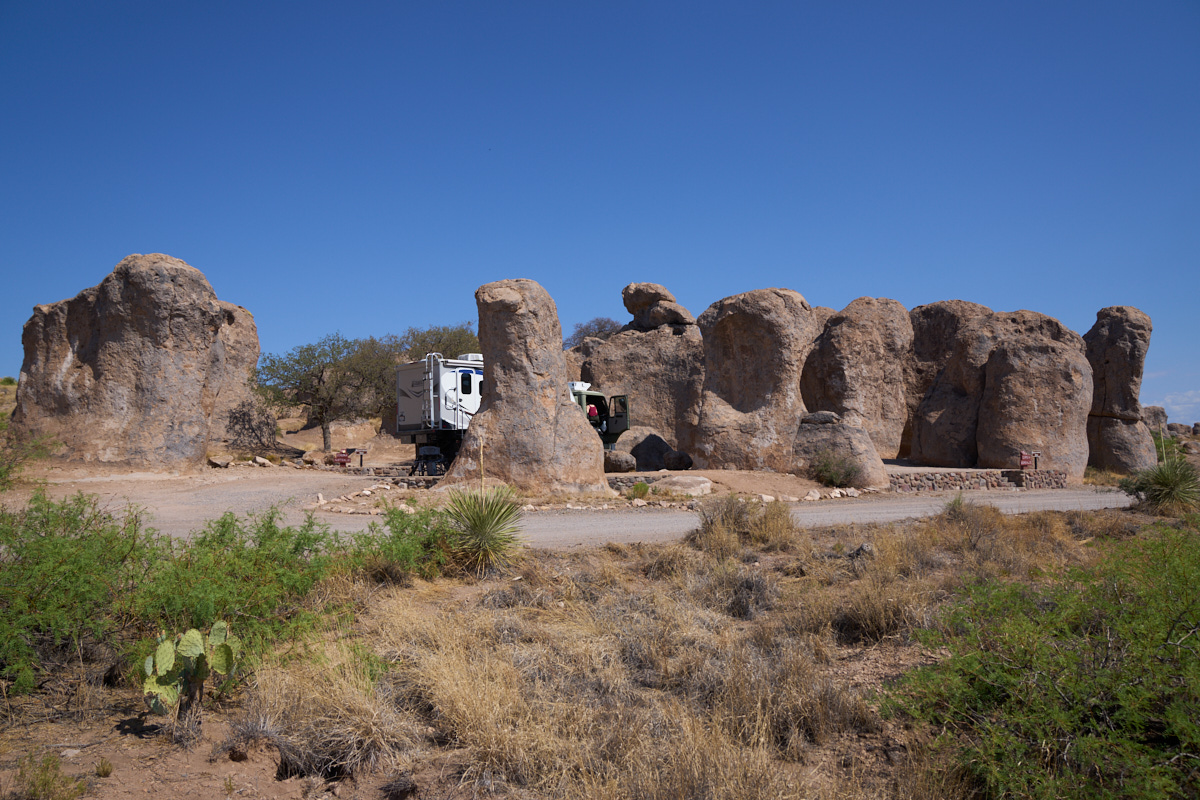
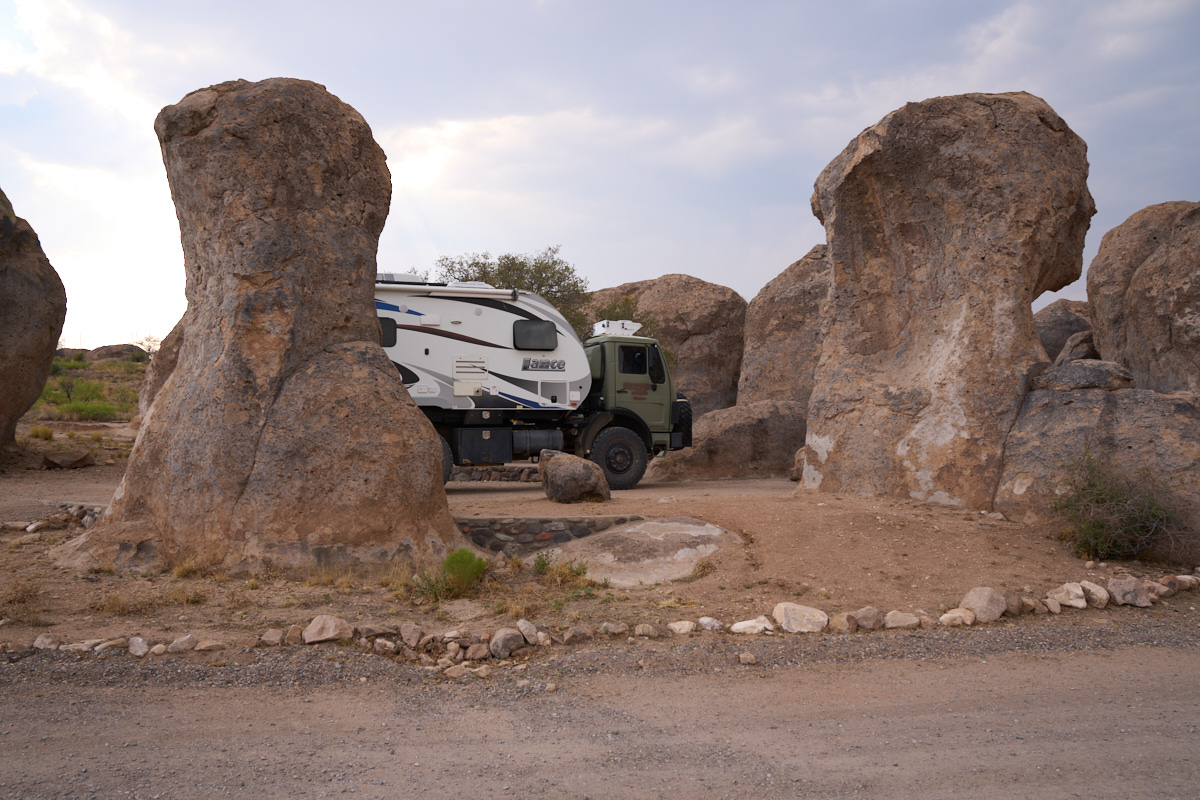
The
standing rocks were in clusters and created interesting profiles.
To the
north of us were some large thunderheads which would rain on us
for most of the day.
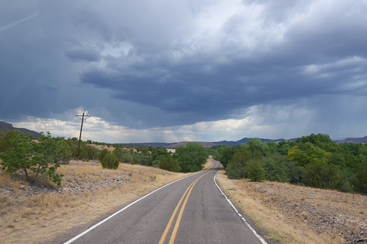
We
elected to leave City of Rocks and head north into the
mountains. In the distance we could see tendrils of rain
from the maturing thunderheads. Our plans were abruptly
halted when we spotted a sign that our selected path had a 12'
6" clearance limit -- a foot too low to allow our passage.
To Kathleen's credit, she had purchased a special RV GPS unit
that "knew" about such things but the information was hard to
interpret, thus our confusion. But, no damage was done
other than to our schedule; we turned around and headed back
down into the low desert.
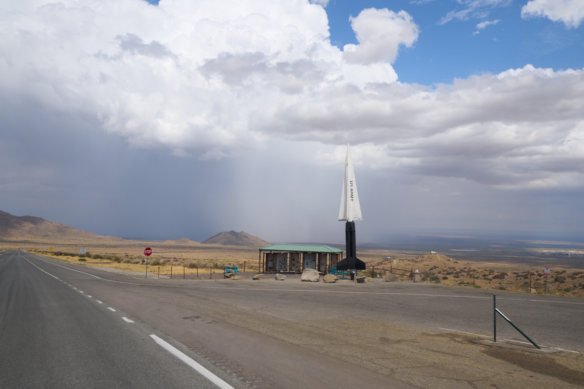
We
passed through Deming, then Las Cruces then over St. Agustin
Pass in the Organ Mountains. Once past the crest of the
pass, we started down the east slope of the mountains into the
White Sands Missile Range. The story of the photo above is
not the missile, but rather what is in the distance PAST the
missile: a huge downpour as a result of another
thunderhead. Note that the rain appears white and totally
obscures everything. Our path of travel took us
directly through this storm complete with high winds and intense
rain. The rain was so hard that I was almost forced to
pull over due to lack of visibility -- our wipers could not keep
up with the rain. The storm lasted about 20 miles and then
turned into sporadic bursts of rain.
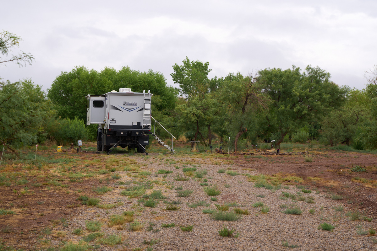
Our
objective for the day was to visit our friends Chris and Ann on
the flanks of the Sacramento Mountains. They have a large
place with several RV hookups that made life simple for us.
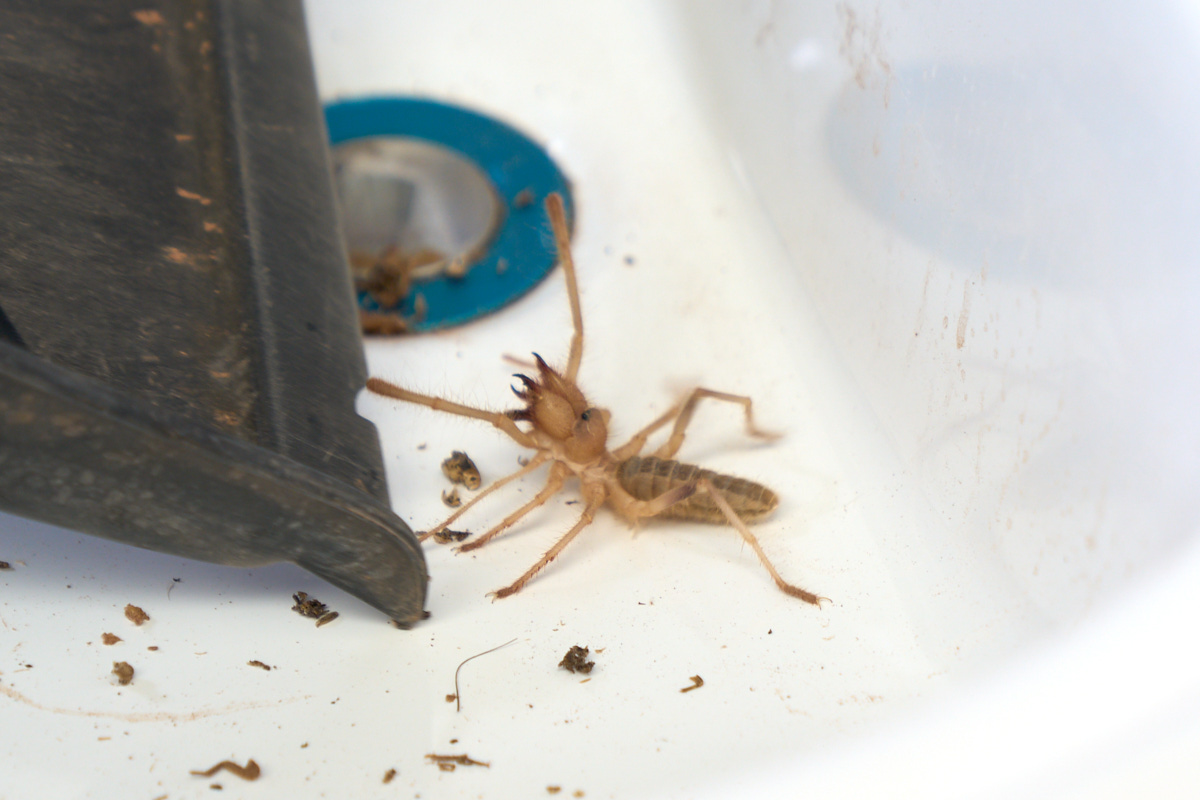
While
touring their place, we came upon a Sun Spider who had taken up
residence in a sink in one of the out-building's bathroom.
Note the huge dual pincers on this fellow -- they can produce a
nasty bite and while it is not venomous, it will still hurt like
hell due to the mechanical trauma. Think dual wire
cutters.
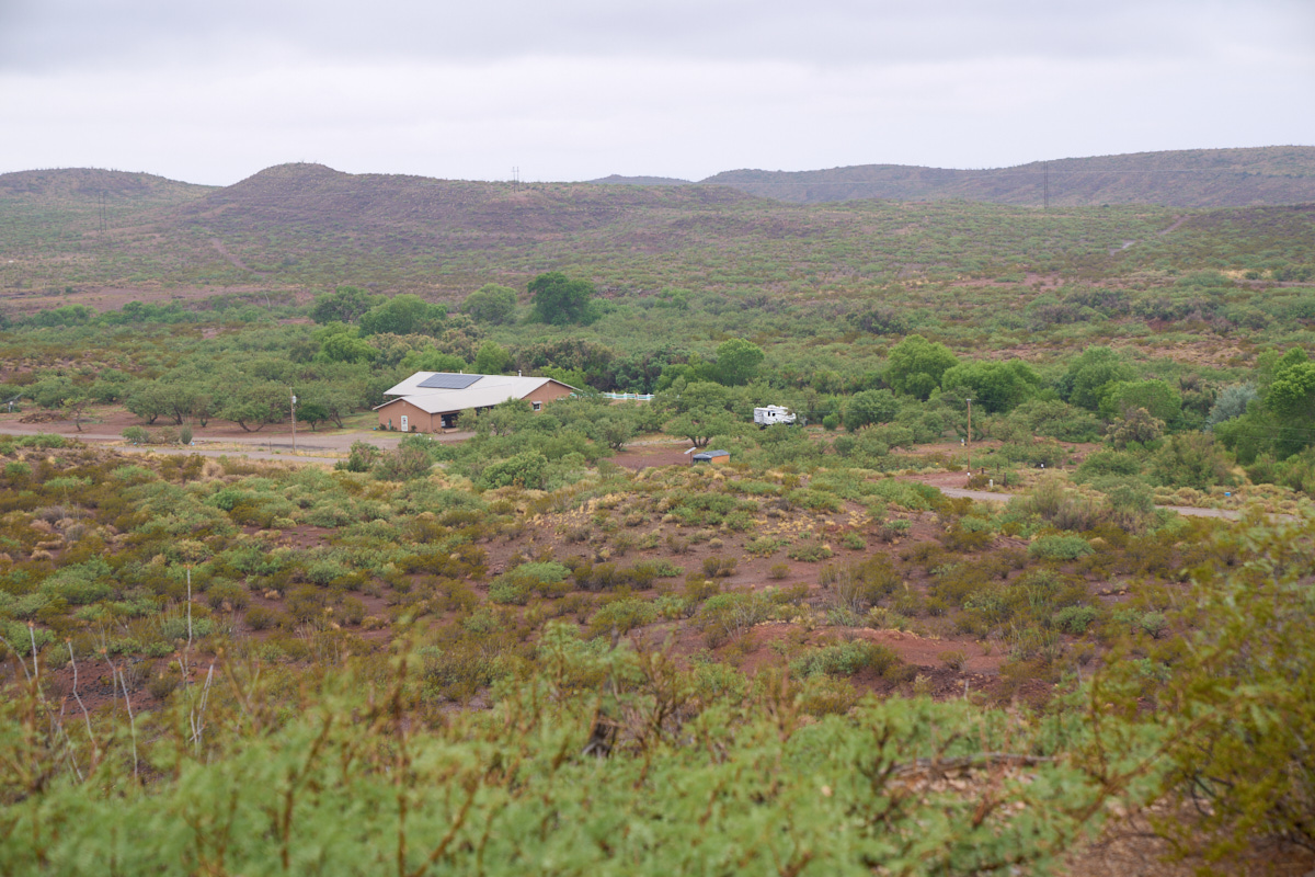
Thor is
visible near the mesquite bosque.
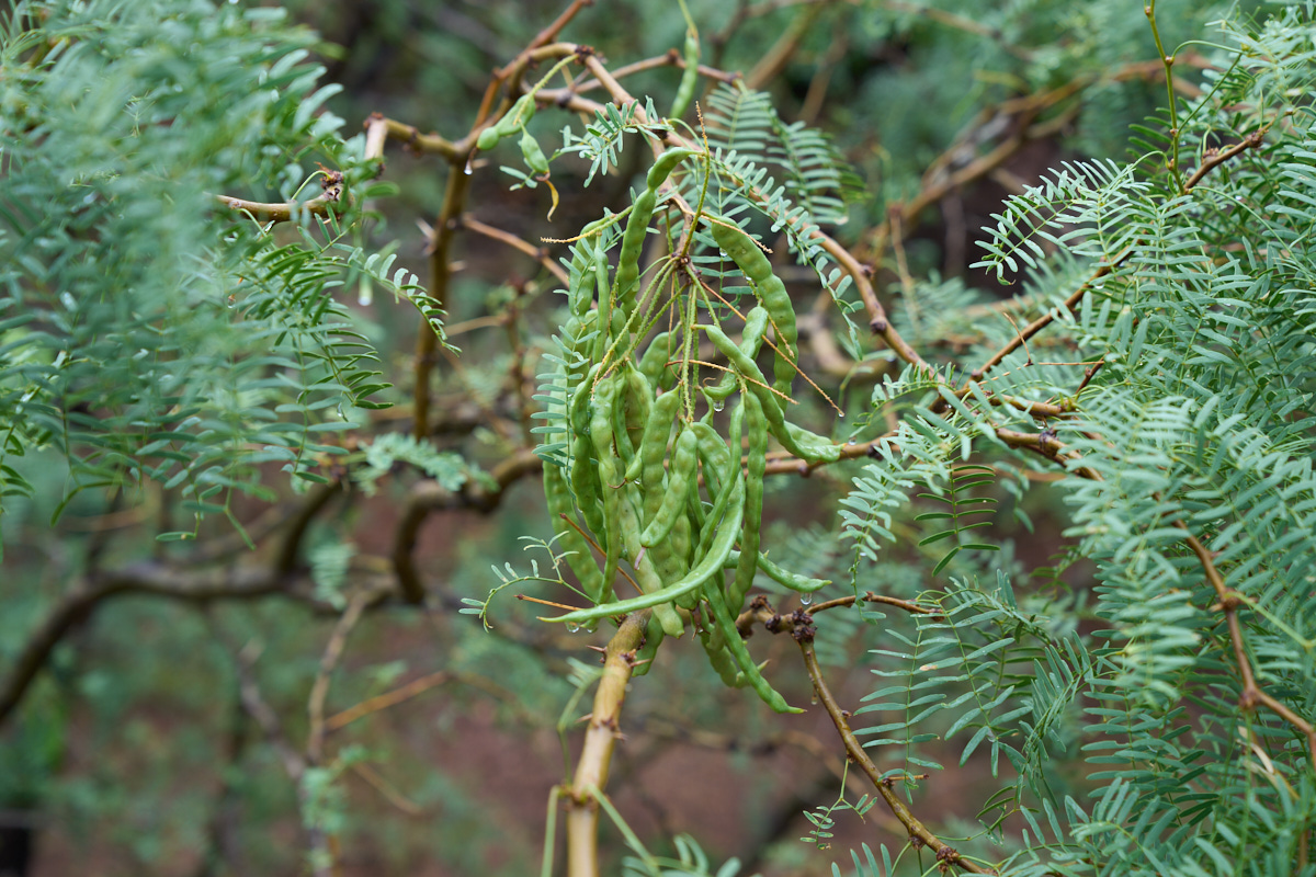
Mesquite
is a common plant in the desert southwest. The local
indians use Mesquite for a variety of purposes including
harvesting the beans for food. The dried beans were ground
into a flour that could be eaten as bread or mush-cakes.
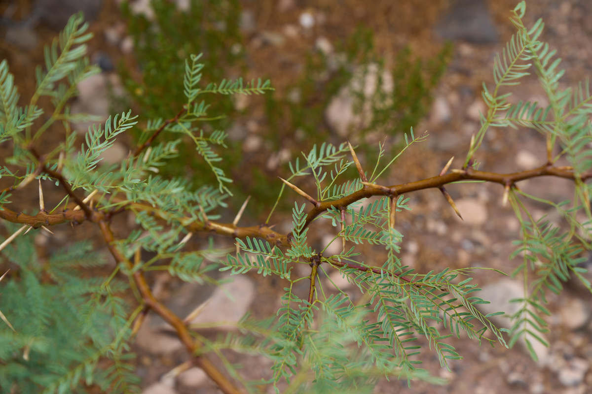
The dark
side of Mesquite is that they have plenty of ugly thorns.
Nature usually protects it's treasures using some kind of
defense.
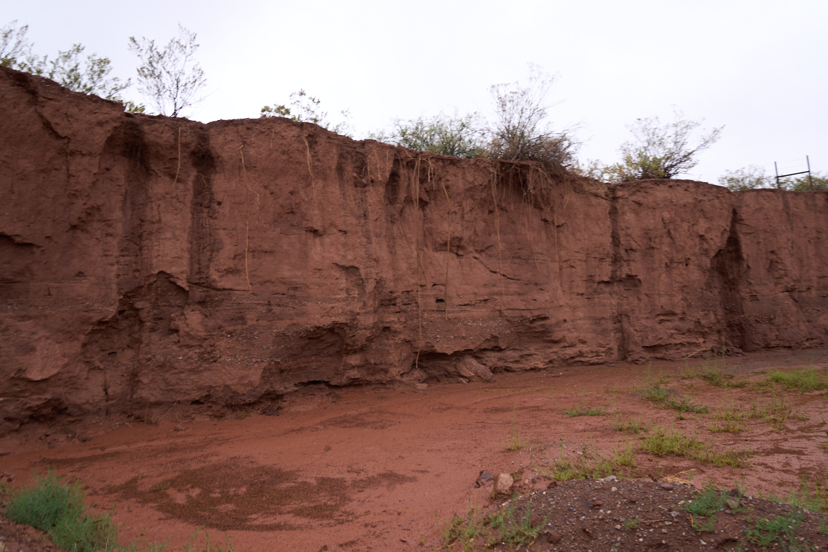
We did a
day trip to the south end of the Sacramento Range and spotted
steep-sided washes that were wet from recent thunderstorm runoff.
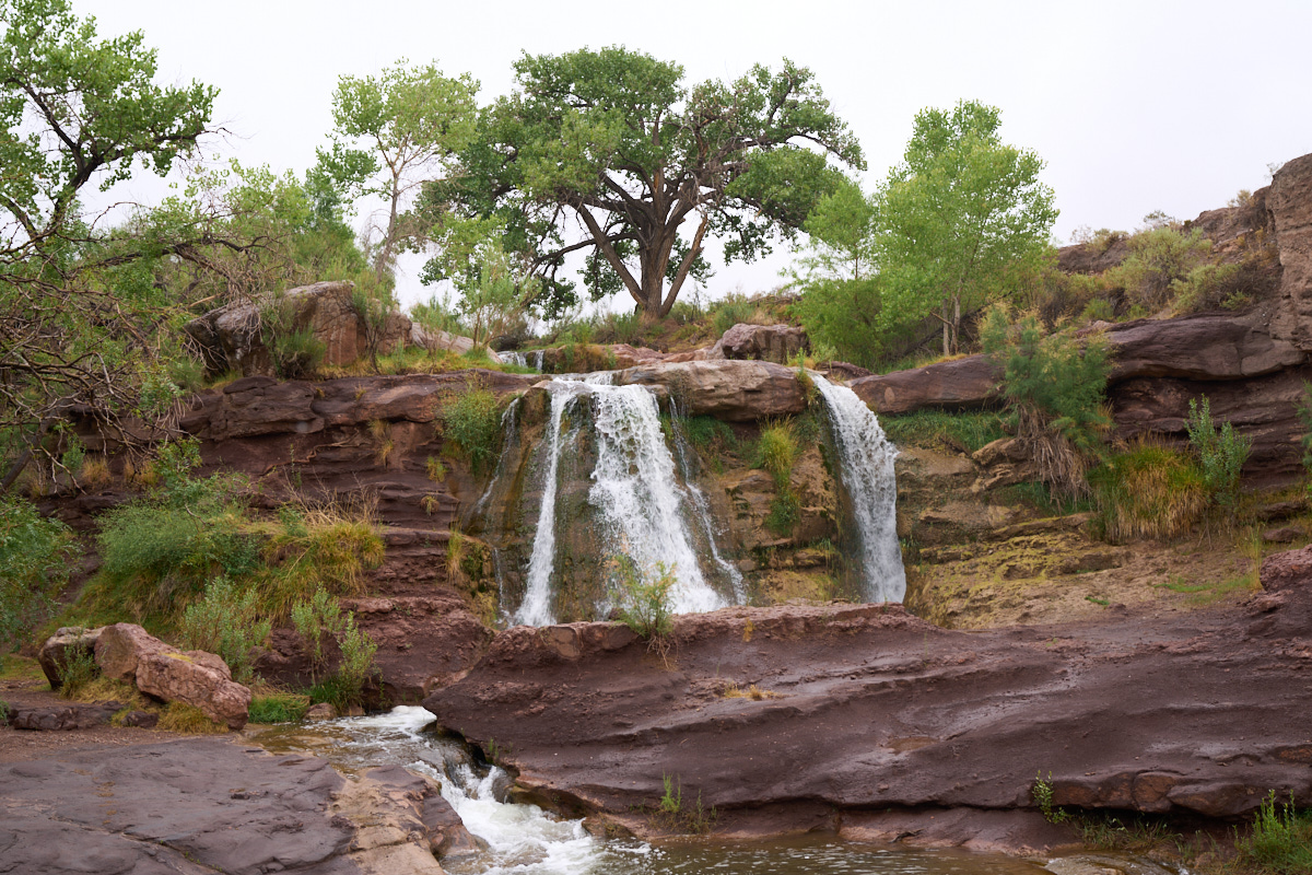
Further
up a side canyon we came upon this nice cascade providing the
pleasing sounds of falling water.
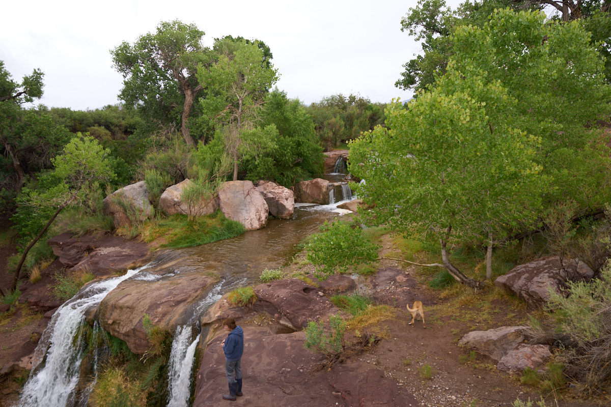
The
upper part of the falls had a second cascade and some nice
pools. The whole area was surrounded by dense stands of
cottonwood trees.
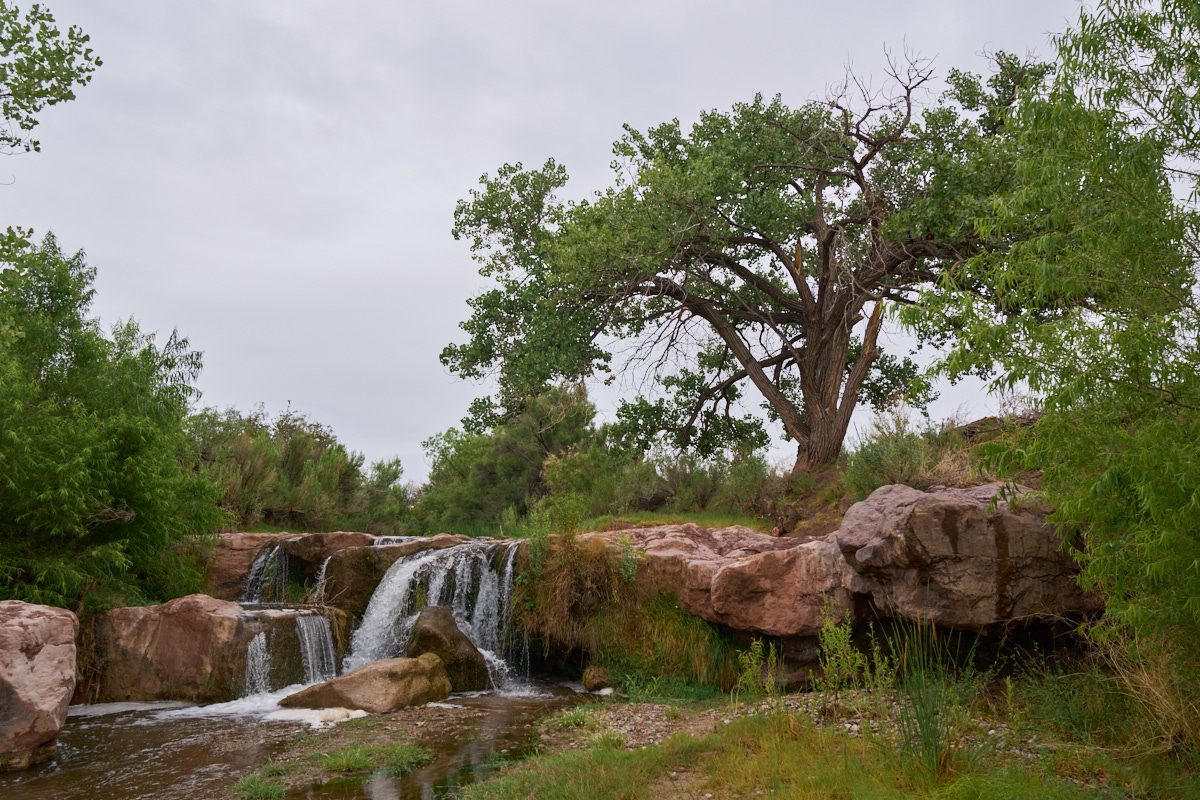
Another
view of the upper cascade. The skies were grey all day and
had been drizzling lightly for three days. But, armed with
the display that we had seen a few days prior, we were acutely
aware that a downpour could happen at any time. Being in a
constrained watercourse during a downpour is NOT
a good idea. Flash floods happen fast, and sometimes
faster than you can evacuate the area. With those happy
thoughts, we loaded up and headed north back to the ranch.
The rain continued for the balance of the day and through the
night. The storm total was about 1.5" which is a lot by
local standards. The monsoon season has officially begun!
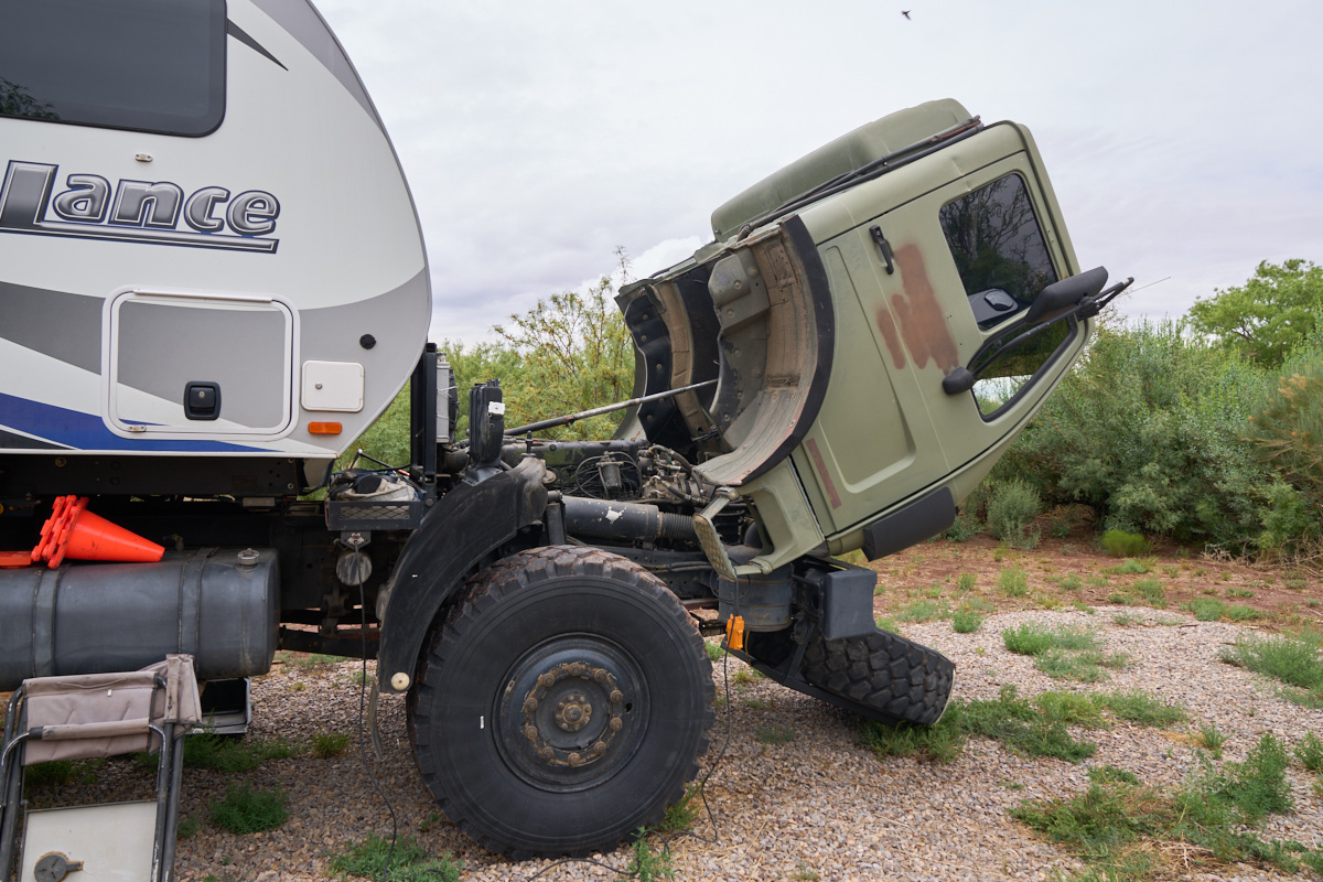
Back
at the ranch, I had chores to perform. I had noticed that
Thor had a fan cowling that had come loose, so we put Thor into
maintenance configuration and attacked the problem. Engine
access requires lowering the spare tire rack and tilting the
cab.
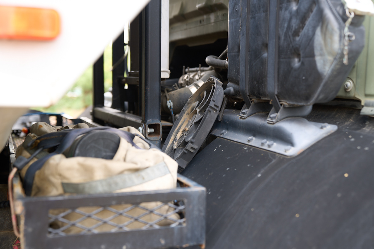
The
issue was the 4 plastic attachments used to affix the fan
motor/cowling to the inter-cooler radiator had
disintegrated. These plastic parts were not repairable and
an alternate plan for securing the fan and cowling was needed.
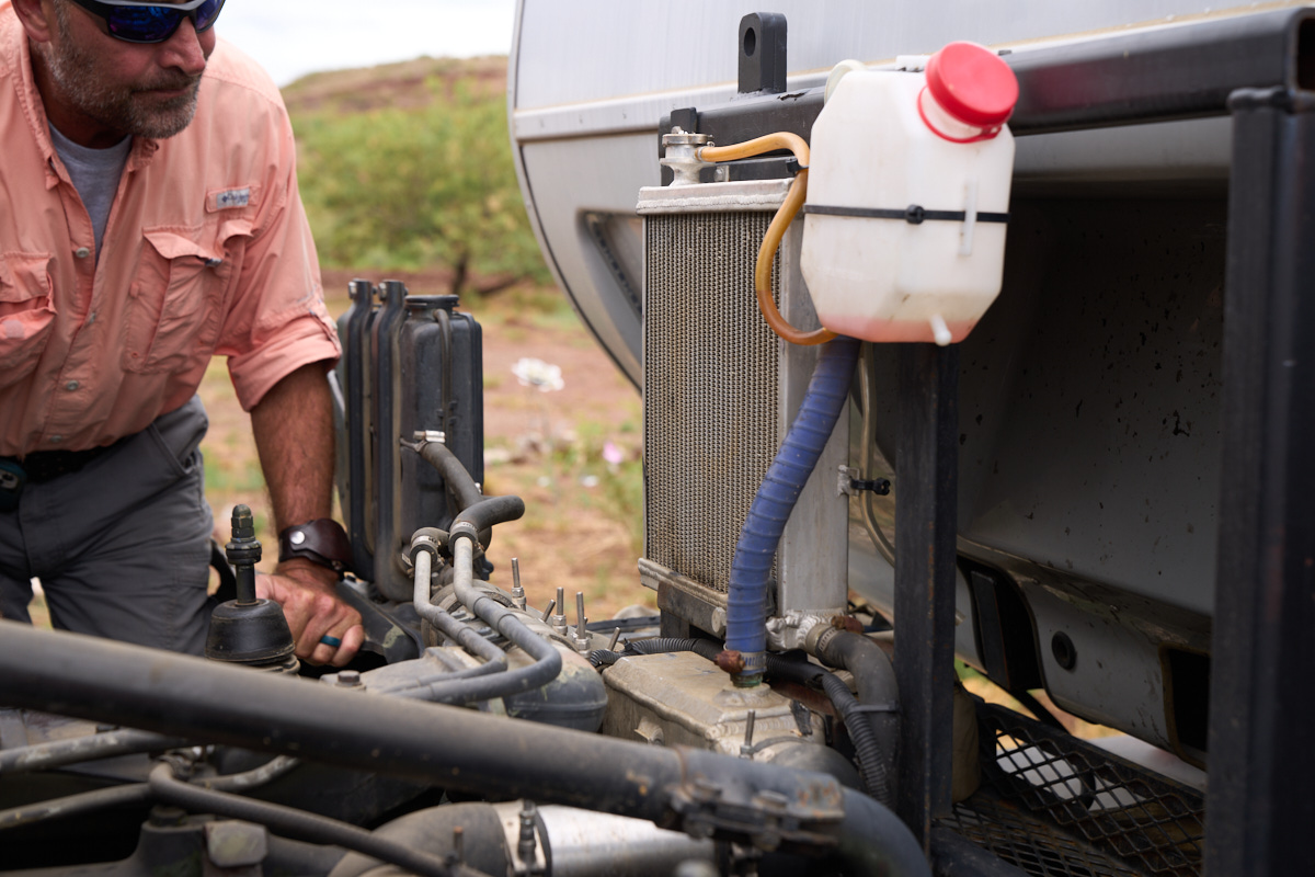
Chris
inspects the situation and we discussed several candidate fixes.
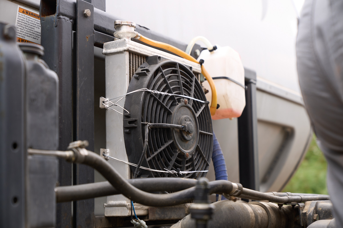
In the
end, we concluded a solution using tie-wire was the best, most
robust approach we could do with the equipment we had
available. The wiring tool worked well and provided a
strong, tight attachment of the cowling to the radiator body.
| Previous Adventure | ||
| Trip Home Page |
Photos and Text Copyright Bill Caid 2021, all rights
reserved.
For your enjoyment only, not for commercial use.