The photos below are what we saw.
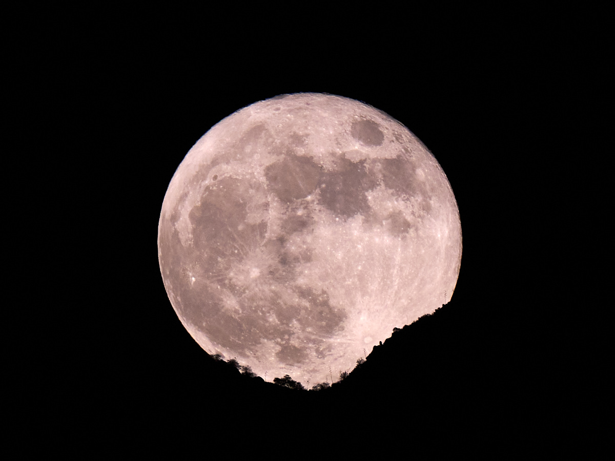
Our last
night in Tucson we were blessed with clear skies, clean air and
a full moon. We watched the moon rise over Pusch Ridge in
the Santa Catalina mountains and were thrilled at the awesome
sight. I was able to use my new Sony A1 camera and 400mm
lens to capture the image above. The moon had not yet
fully cleared the saddle in the ridge and highlighted the cactus
and brush on the skyline. The saddle was over 5 miles from
our viewing location in Oro Valley, AZ!
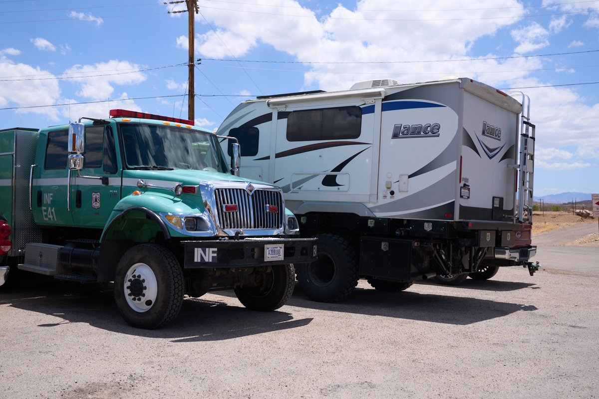
When we
finished in Tucson, we headed east toward the Chiracahua
Range. We passed through Tombstone, AZ and elected to have
lunch. We parked in the lot next to a Forest Service
wildland fire rig. Big portions of the west were suffering
drought-related wildfires, so the presence of a truck was not
surprising. But, the code on the door and bumper indicated
that this truck was from the Inyo National Forest in the Sierra
Nevada in California.
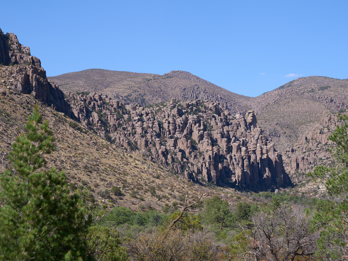
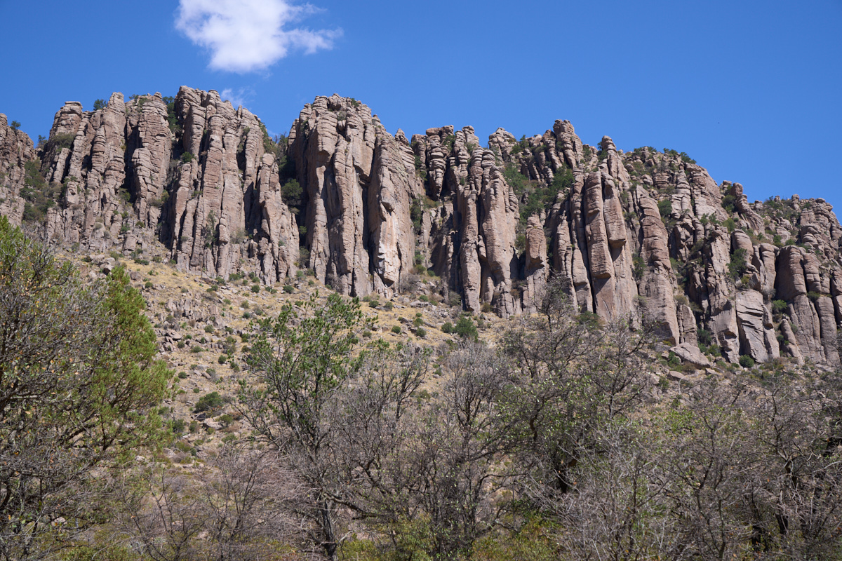
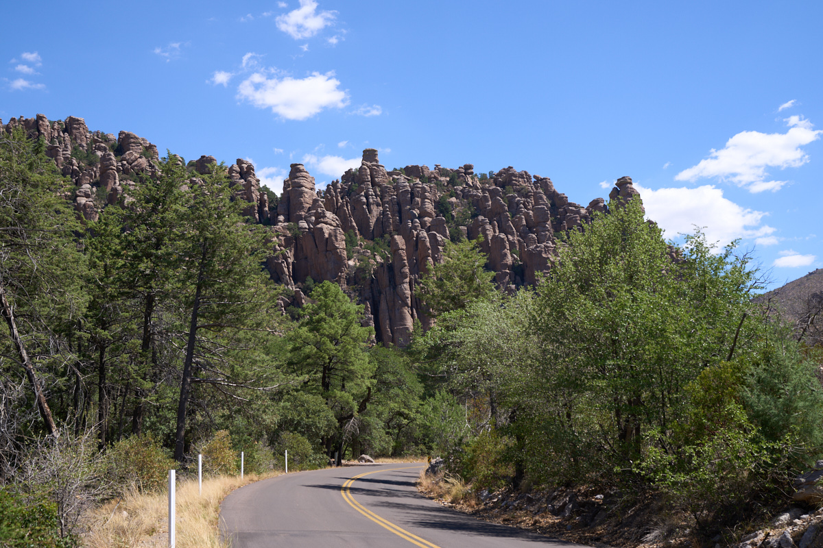
We got
to the Chiracahua range and elected to stay in the National
Monument because camping space was available. The campsite
had a nice view of the "standing rocks" that are the hallmark of
the National Monument. The photo above was taken from our
campsite.
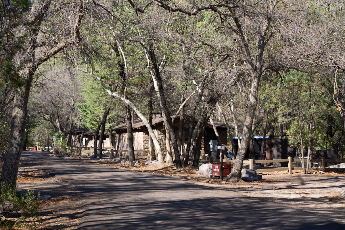
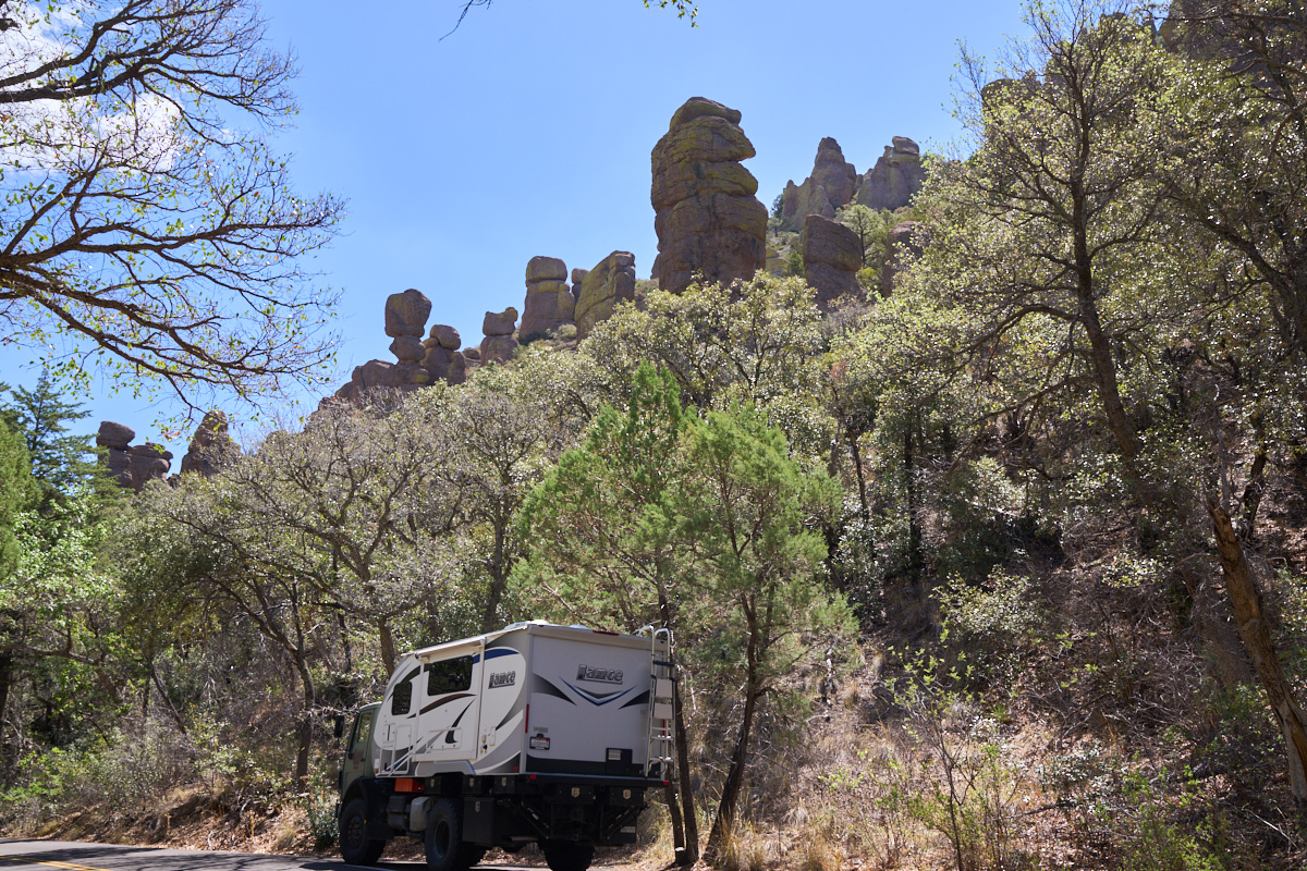
The campsite
was in a dense riparian area of the mountains and had old stone
structures from the WPA days.
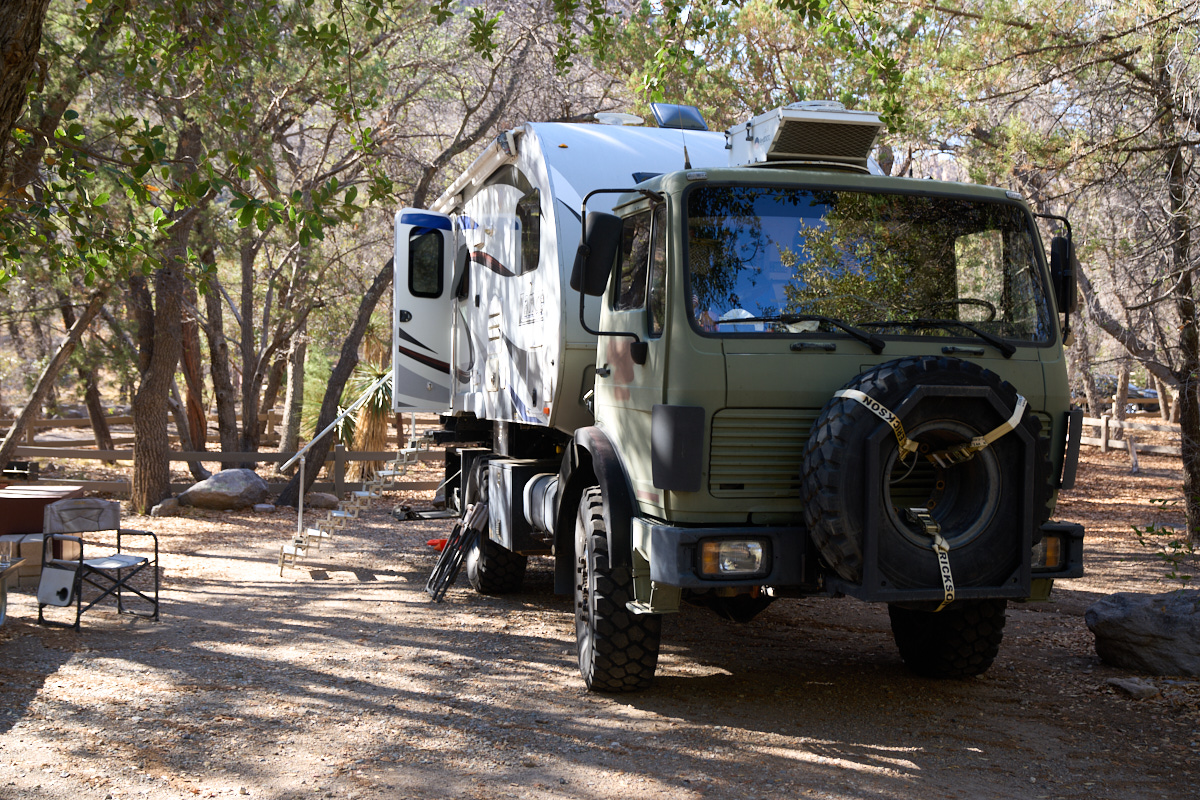
With our
slide-out extended, Thor pretty much fills the available area.
The
altitude of the campsite provided some welcome relief from the
heat of the low desert. After a comfortable night, we
headed out on the scenic drive to the top of the mountain.
The morning light illuminated the steep volcanic columns and
cliffs.
On the southern
ridge of the canyon the sunlight illuminated windows and gaps in
the hoodoos.
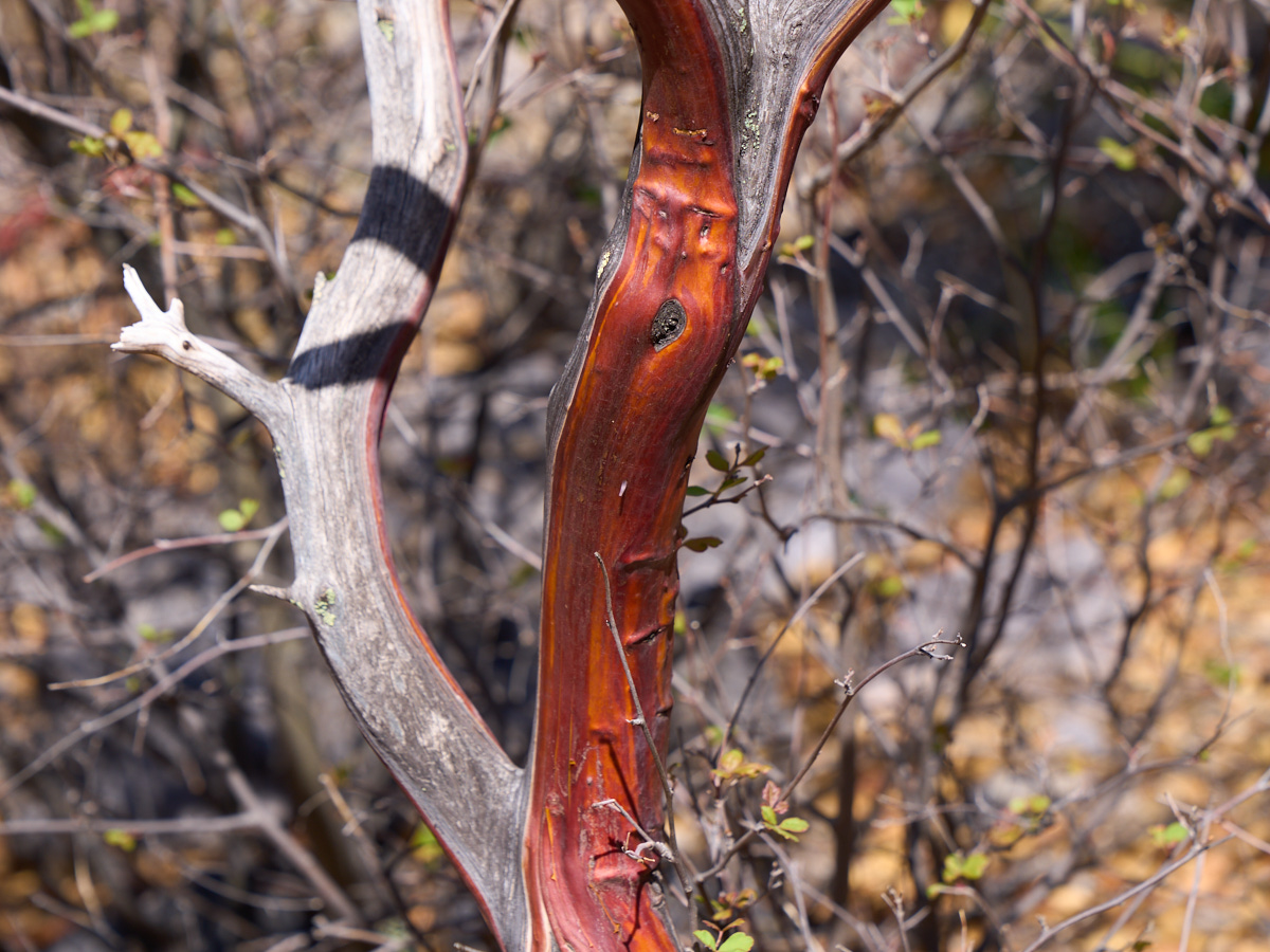
Manzanita
is a colorful, dense brush that fills the lower portions of the
canyon.
As we
ascended the mountain via the highway we got nice views of the
standing rocks and hoodoos.
We
stopped at a pull-out to get a view of the hoodoos on the south
side of the canyon.
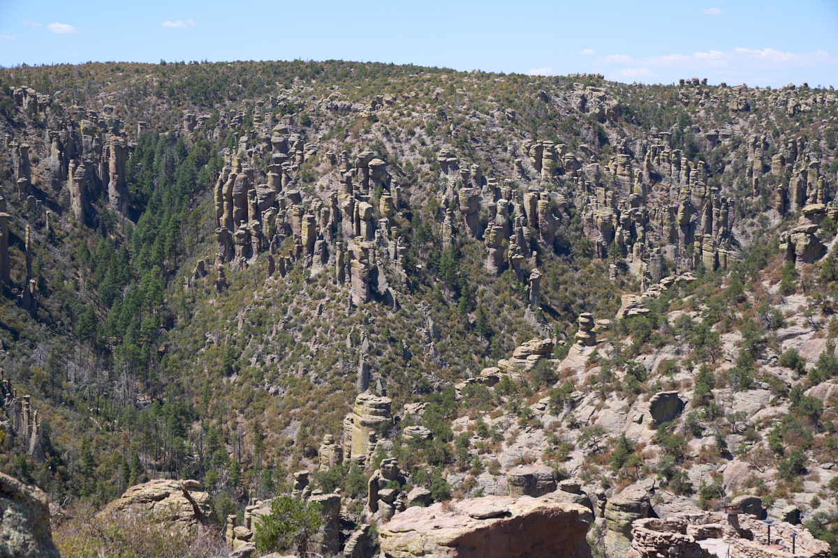
The
scenic drive is rather short (perhaps 5 miles) and culminates in
a parking area at the top of the mountain. We had great
views of the forest of standing rocks to our south.
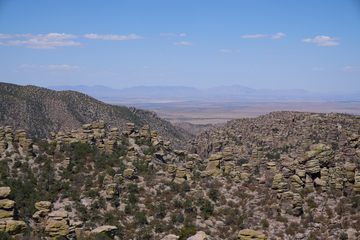
From the
peak we had a clear view of the Sulfur Springs Valley to the
west. In the foreground is a large forest of standing rocks
and hoodoos.
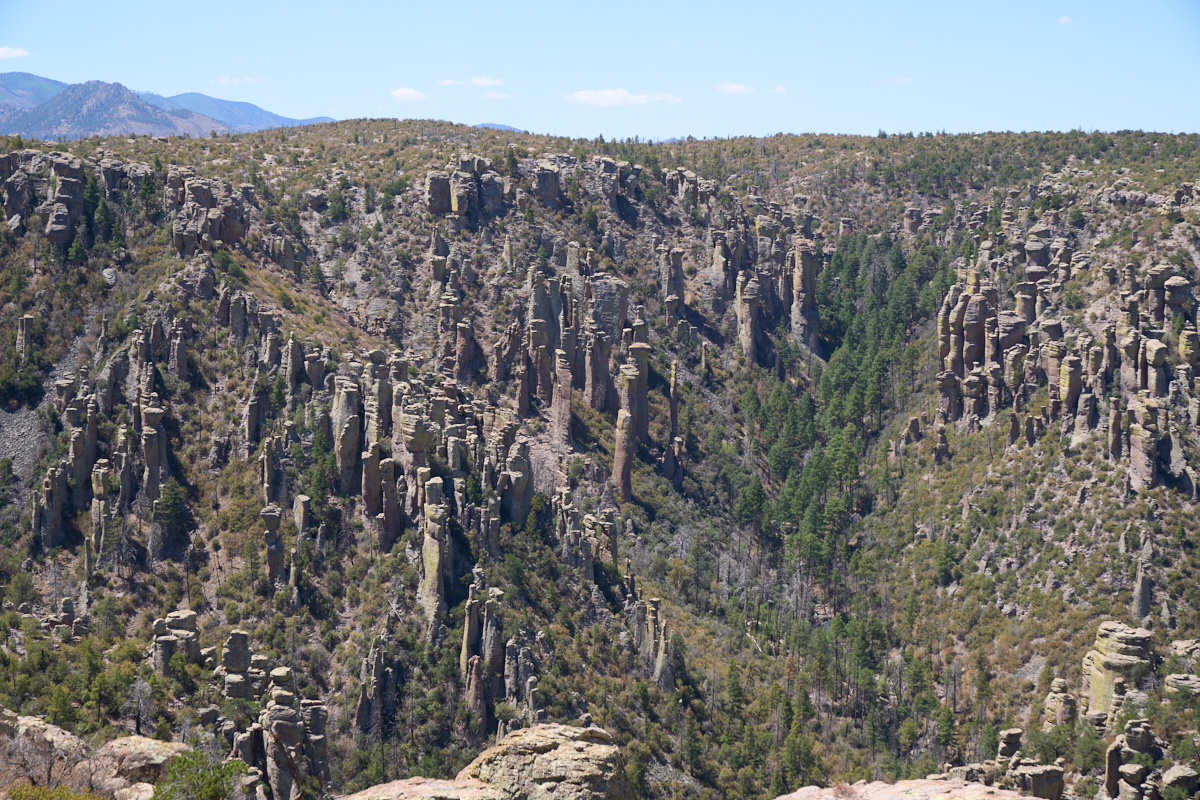
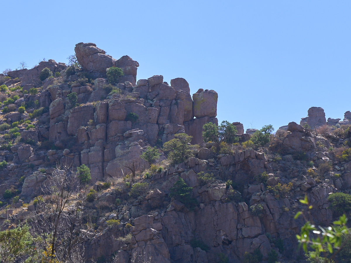
This
section of hoodoos had very narrow, tall structures. Some
of the hoodoos were almost needle-like. Note the very thin
hoodoo in the center of the photo above.
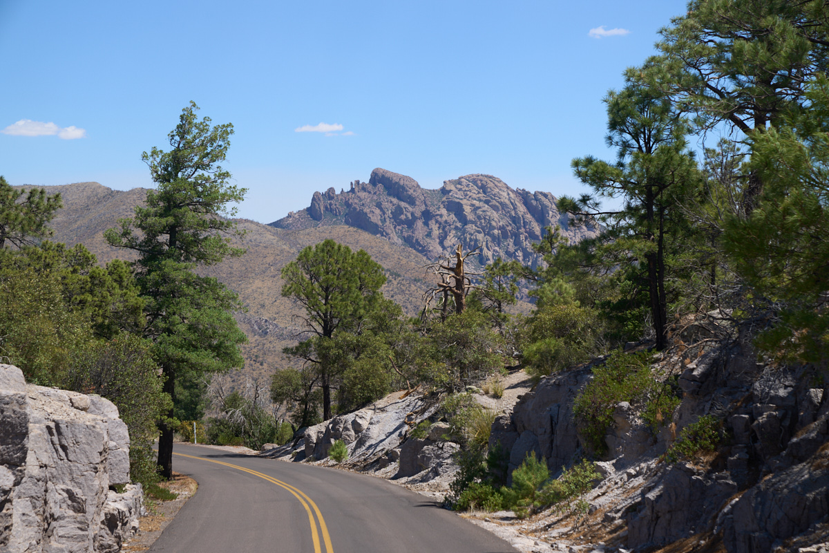
On our
exit from the peak we got a clear view of the rock formation
known as "Cochise Head". Note the profile of a person
laying down.
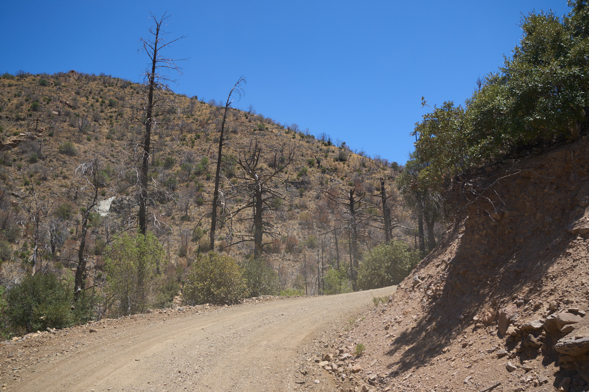
We left
the National Monument and took a Forest Service road that would
take us over the whole Chiracahua Range. As we reached the
higher elevations, we noted that there were many trees killed by
recent fires. Fires are an ever-present risk in the west
and even more-so recently due to the extended drought.
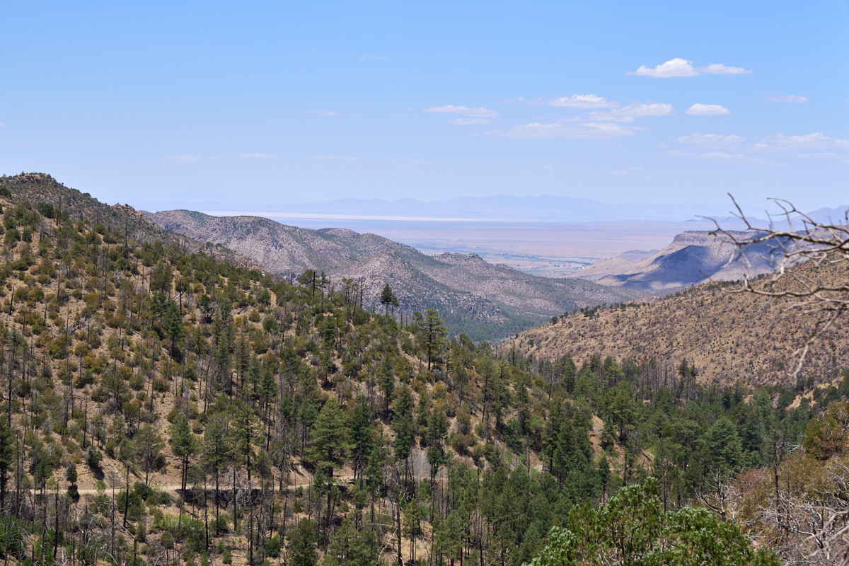
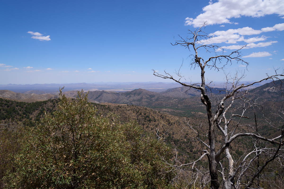
From a
saddle near the top of the range we could see to Wilcox Dry Lake
to the northwest of the range. Note the dirt trail (our
travel route) at the bottom left of the photo above.
From the
upper saddle on the trail we could see to the east all the way
into New Mexico. Note the fire damage on the tree above.
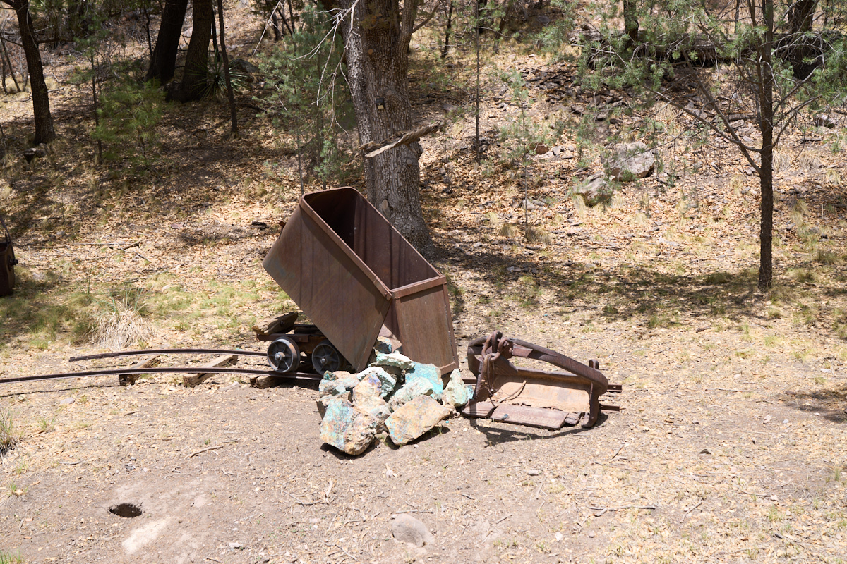
We
followed the dirt track down the eastern slopes of the
Chiracahua range into a large canyon where we spotted this old
mining equipment.
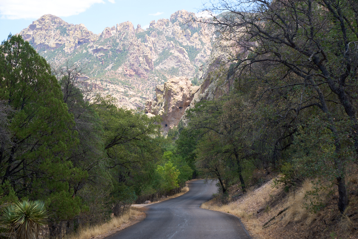
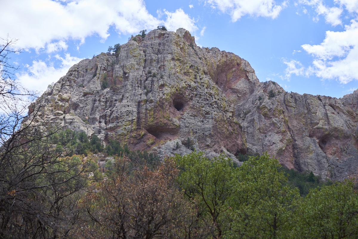
At the
bottom of the canyon the trail transitioned from dirt to asphalt
and took us past Portal, AZ at the eastern flanks of the
Chiracahua range. This portion of the canyon had very
steep walls and the walls were peppered with caves. Note
the caves above the roadway in the photo above.
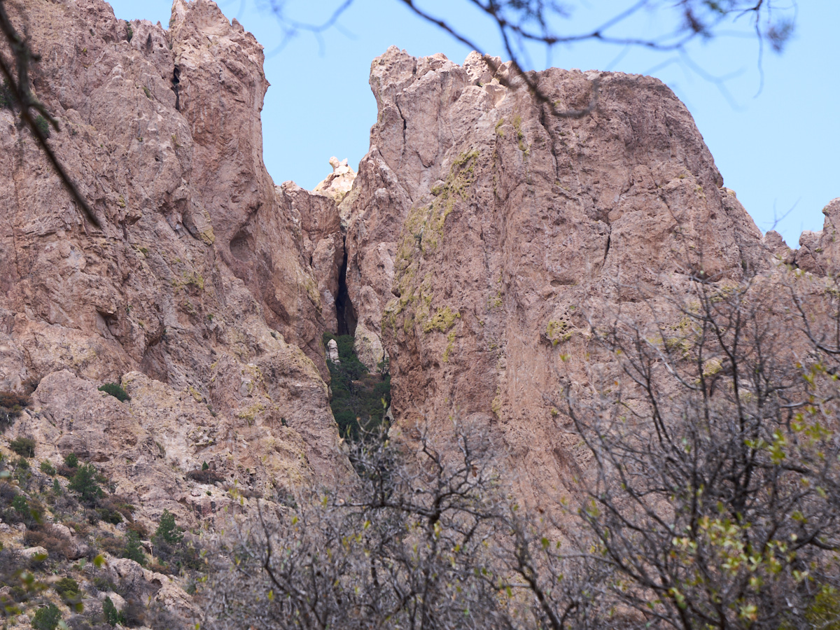
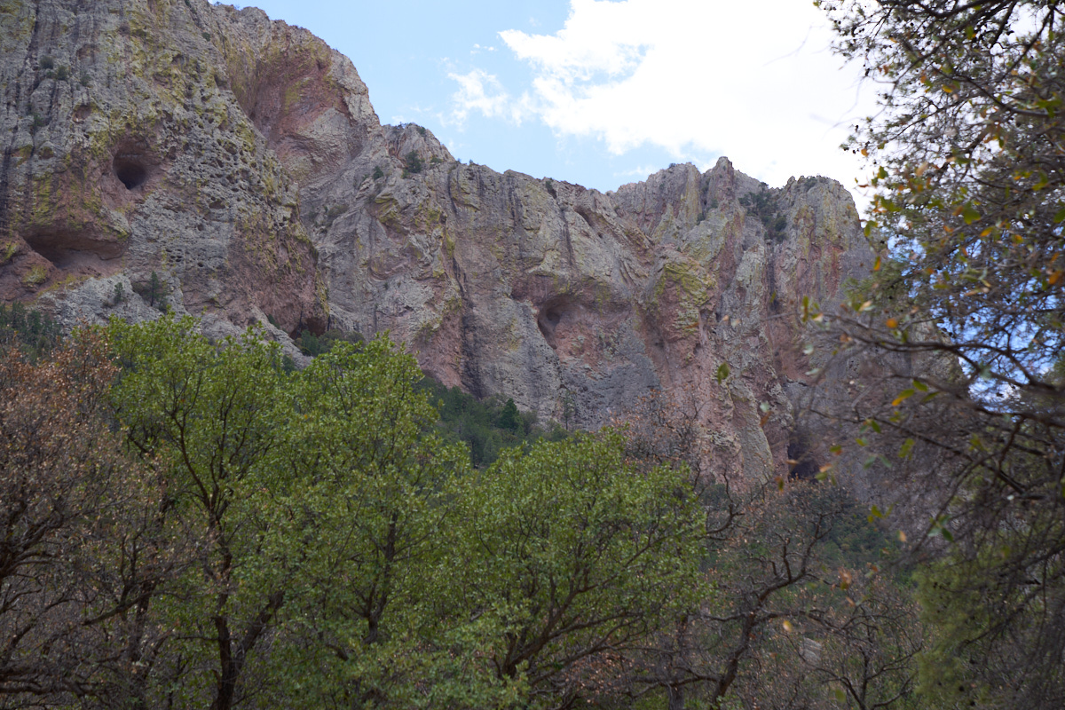
We got
to a pull-out that allowed a view of the steep canyon
walls. The dense brush at the bottom of the cave indicates
that there is likely a spring inside the cave.
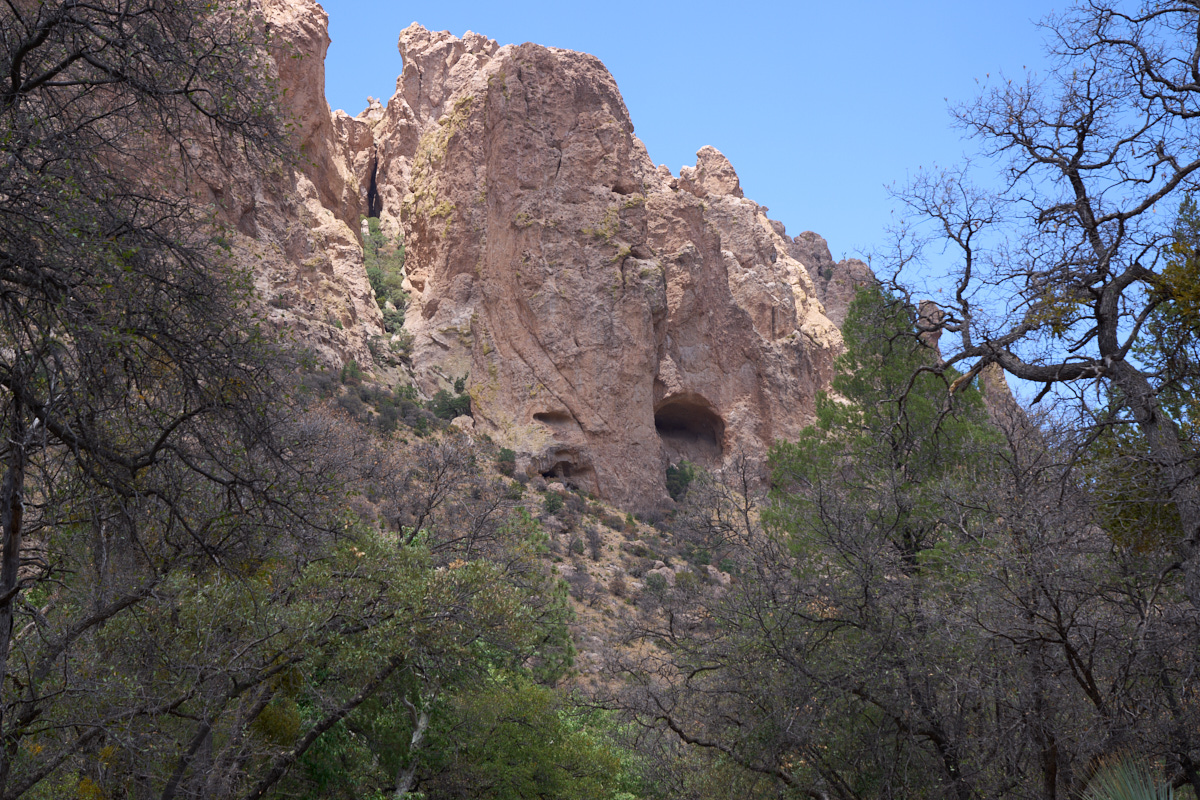
On the
south side of the canyon there were many large caves which
likely host an active population of bats.
The next
time we come to this area we will plan to be here near dusk to
see the bats emerge from the caves.
On the
north side of the canyon was a particularly large cave.
From Portal, we headed north then east into New Mexico. Our target for the night was City of Rocks south of Silver City. I had a great path planned that involved a long stretch of dirt road. The plan was flawlessly executed EXCEPT for the locked gates near the entrance to the highway. The gates required a 10-mile detour but after that, we were back on track.
| Previous Adventure | ||
| Trip Home Page |
Photos and Text Copyright Bill Caid 2021, all rights
reserved.
For your enjoyment only, not for commercial use without attribution.