The
photos below are what we saw.
As we
were searching for the fuel station we passed this 416 mog that
has been converted into a tourist hauler. We stopped to
check it out and Kathleen voiced her approval. While not
as big or powerful as our 1300L, I am sure that this rig gets
around just fine.
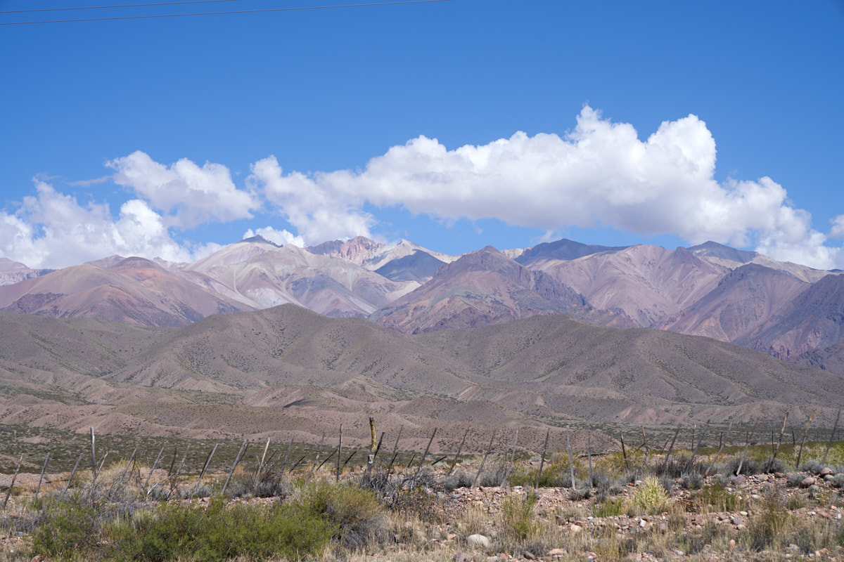
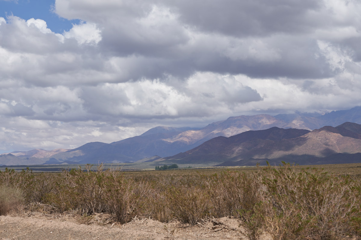
Just
north of Uspallata, the terrain opened up and gave an
unobstructed view of the Andes. This small photo does not
do justice to the grandeur of the view. Huge mountains and
not a tree to be seen anywhere; the mountain was completely
barren. I am guessing that the upper peaks that are
visible are over 15,000 feet, maybe higher.
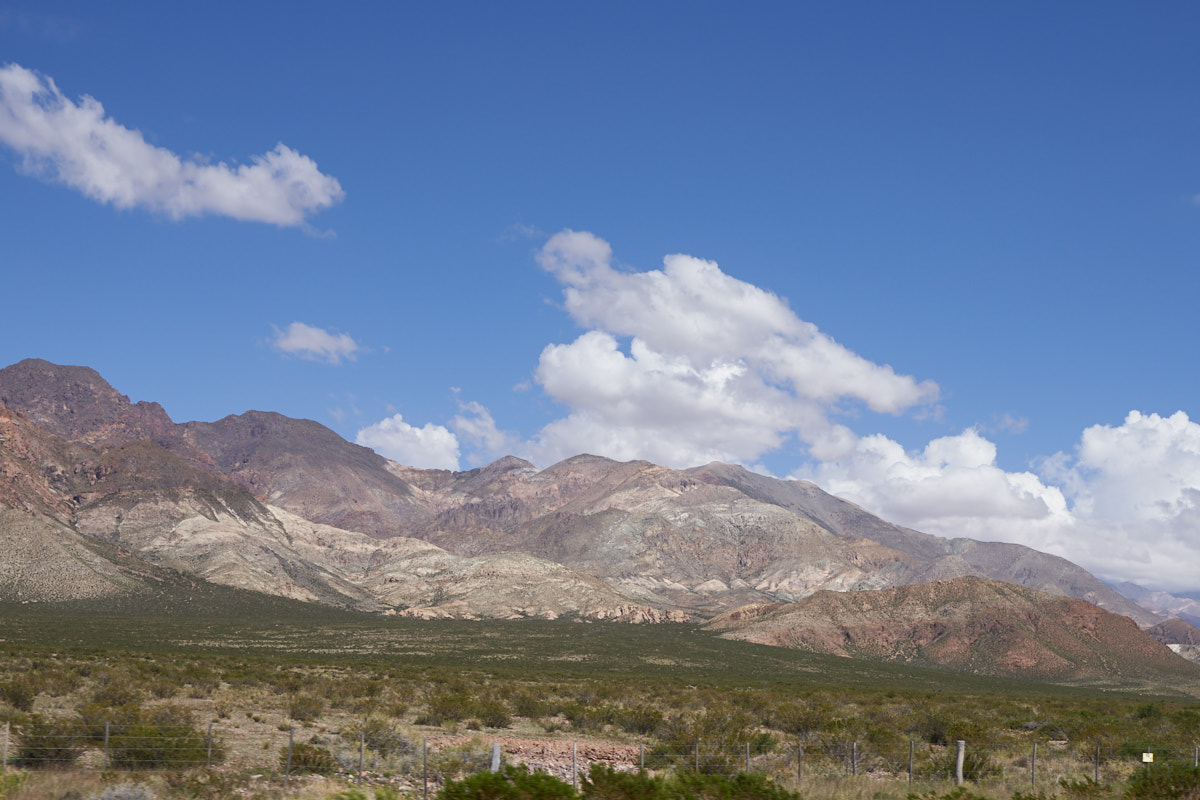
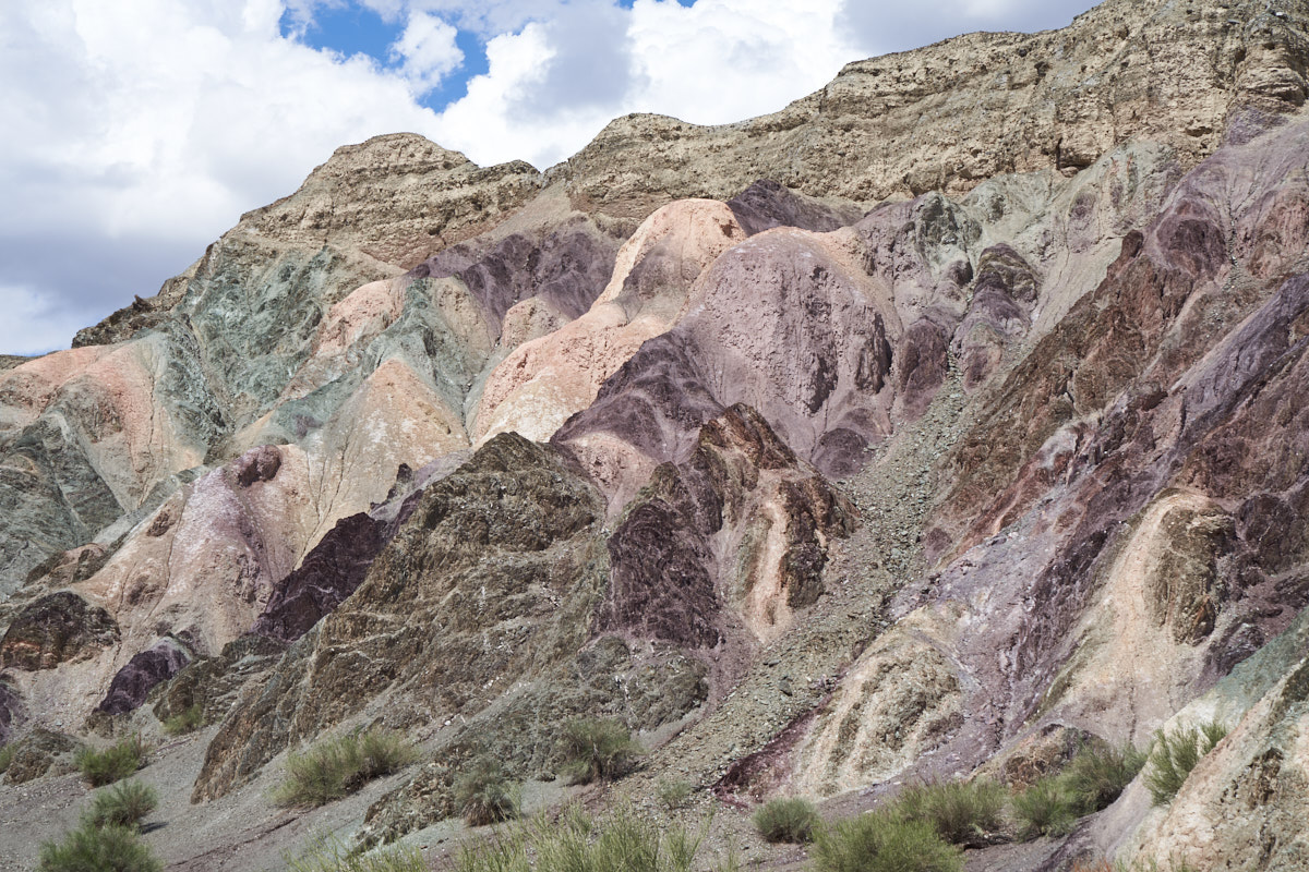
We
passed a number of areas where the rocks changed color
indicating mineralization.
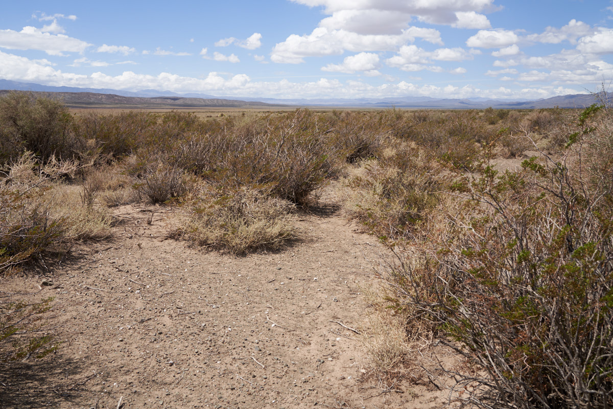
Further
north we stopped for a bio-break and were able to get a closer
view of the terrain. There is minimal ground cover and
what is there is likely unappealing to cattle and goats.
Cresote was the primary vegetation. The valley was at
least 50 miles long and was part of a local "estancia".
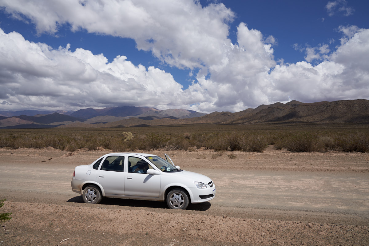
Our
little rental car looked totally out of place in the
Chaco. We were surprised that the road turned to dirt, but
we continued on anyway. Hey, it's a rental.
We
passed a sign that said "Estancia Yalguaraz: private property,
no tresspassing, no hunting, no fishing". The last part
must have been a joke as there was no water anywhere. We
surmised that the ranch house for the estancia was in the trees
in the distance, the only trees for 50 miles, save 2 lone trees.
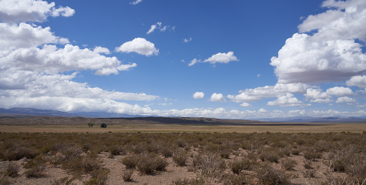
In all
this wide open space, the only trees to be seen not associated
with human irrigation at the ranch house. These trees are
close to a dry lake bed at the center of the photo above.
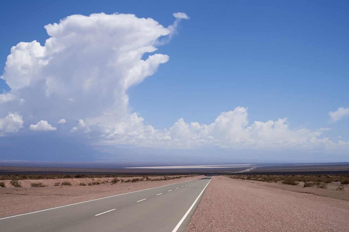
South of
Barreal we crested a ridge and got a great view of a huge
thunderhead building over a dry lake. It never rained on
us, but the wind was blowing hard.
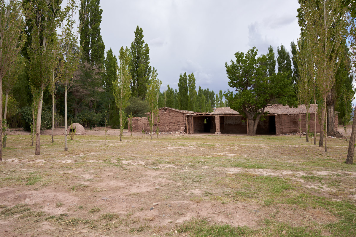
We got
into Barreal and had a passing fantasy about staying in the
pueblo. We followed signs to an inn but the road turned
into a grove of trees by an abandoned adobe structure.
Undaunted, we followed the path.

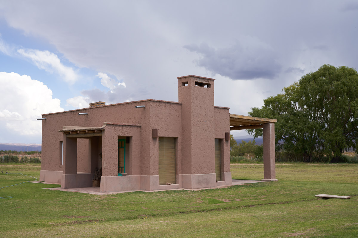
The path
ended at the inn's ranch house. This was a really nice
place and we were quite hungry so we parked the car and went
inside.
We passed
a number of little casitas for the guests. There were
perhaps 10 or so clustered around the main house.
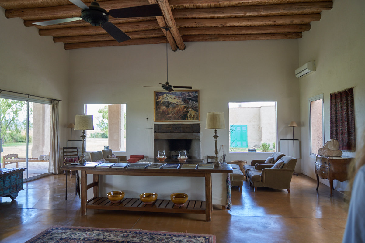
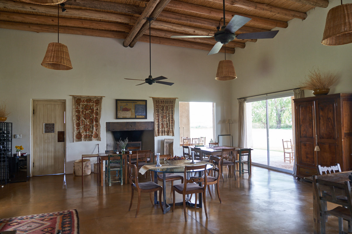
Inside,
we were impressed with what we saw.
Nice
open beam ceiling and fireplace.
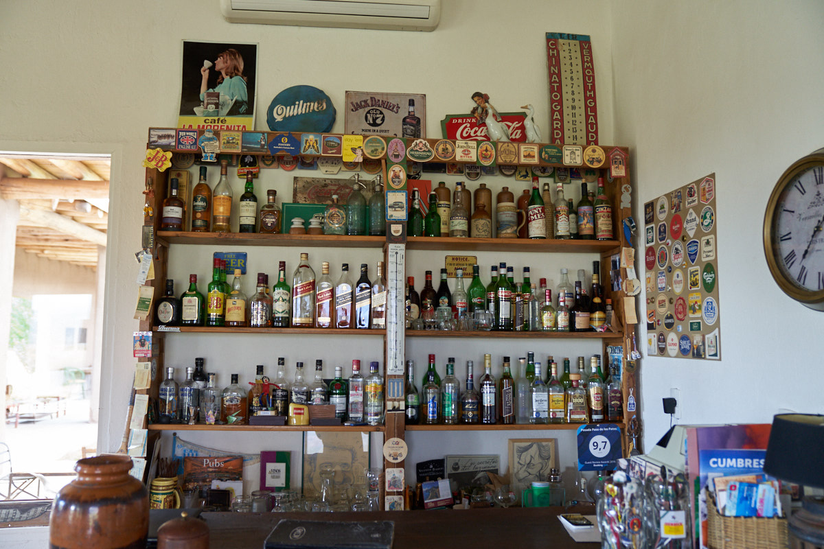
No inn
is complete without a bar.
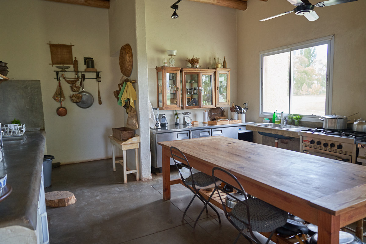
I stuck
my head into the cocina looking for the desk clerk, but nobody
was around. The kitchen was modern with nice
fixtures. We finally gave up and were leaving the building
when we came upon the caretaker. We were disappointed to
learn that they were booked for the next few days, and
particularly bummed to learn that if we had acted 16 hours
earlier, one of these casitas would be ours. We accepted
our fate and followed the path back to Barreal and found a small
restaurant that was open and had a very tasty sandwich.
While eating, the waiter asked us if we had seen the river to
which we responded "what river". He gave us directions and
we headed out after eating.
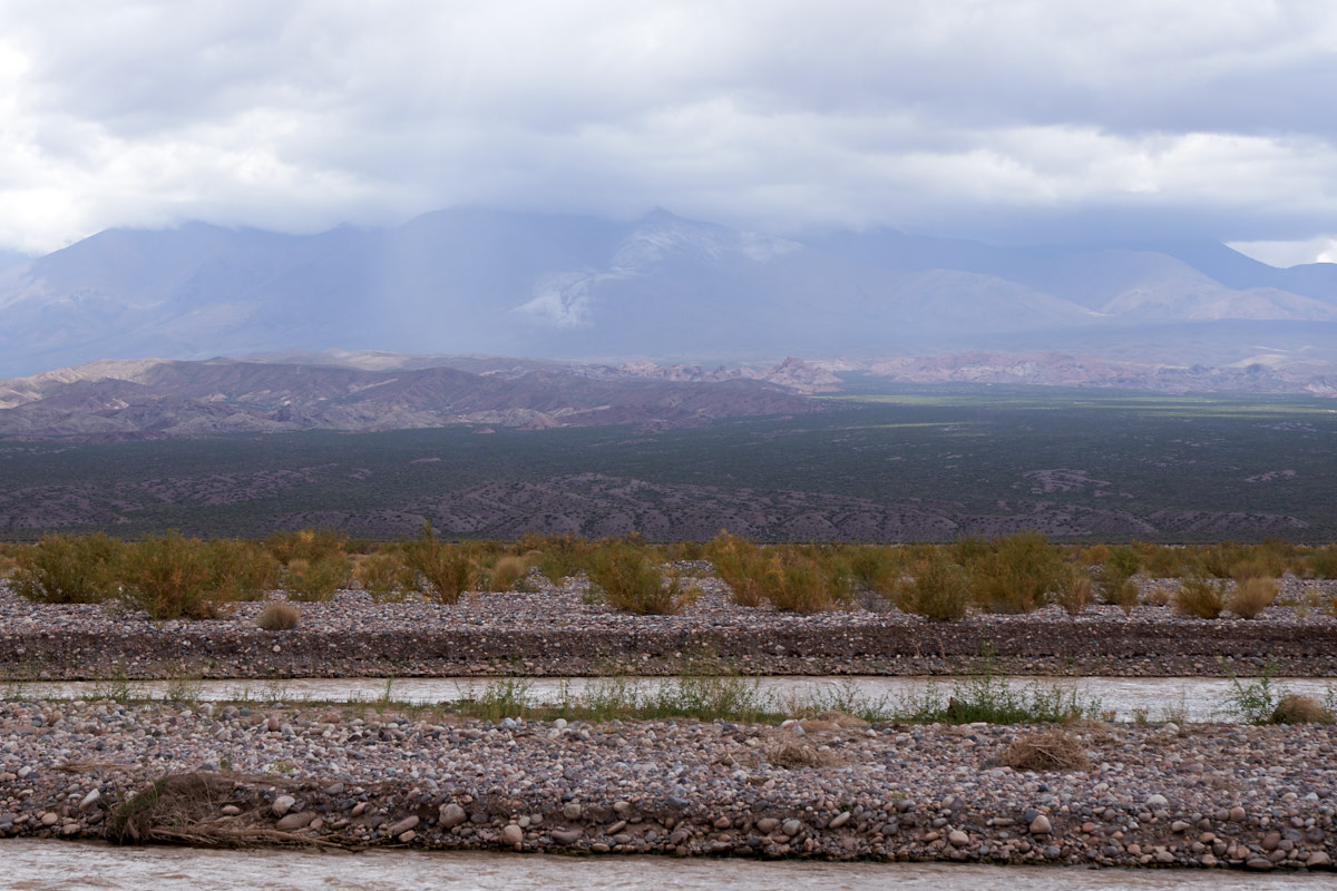
We
followed the waiter's directions to the banks of the Rio del
Patos (Duck River). From the banks, we could see the
thunderstorm working on the flanks of the Andes. The "blurry"
area is the photo above are sheets of rain. The whitish
area on the mountain ridge is snow deposited by the passing
thunderstorm. The Rio del Patos flows through a huge bed
of alluvial cobbles. These banks of alluvium stretched for
dozens of miles.
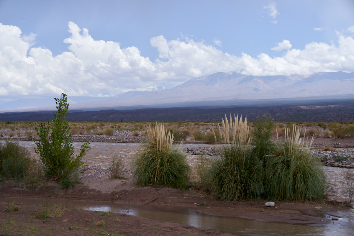
Most of
the river banks were bare cobbles except for a small area of
pampas grass and a young cottonwood tree.
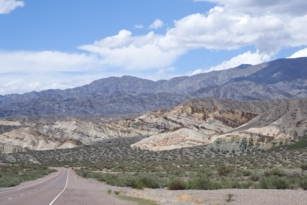
We
followed the Rio del Patos north along the foothills and
encountered another area of colored rocks.
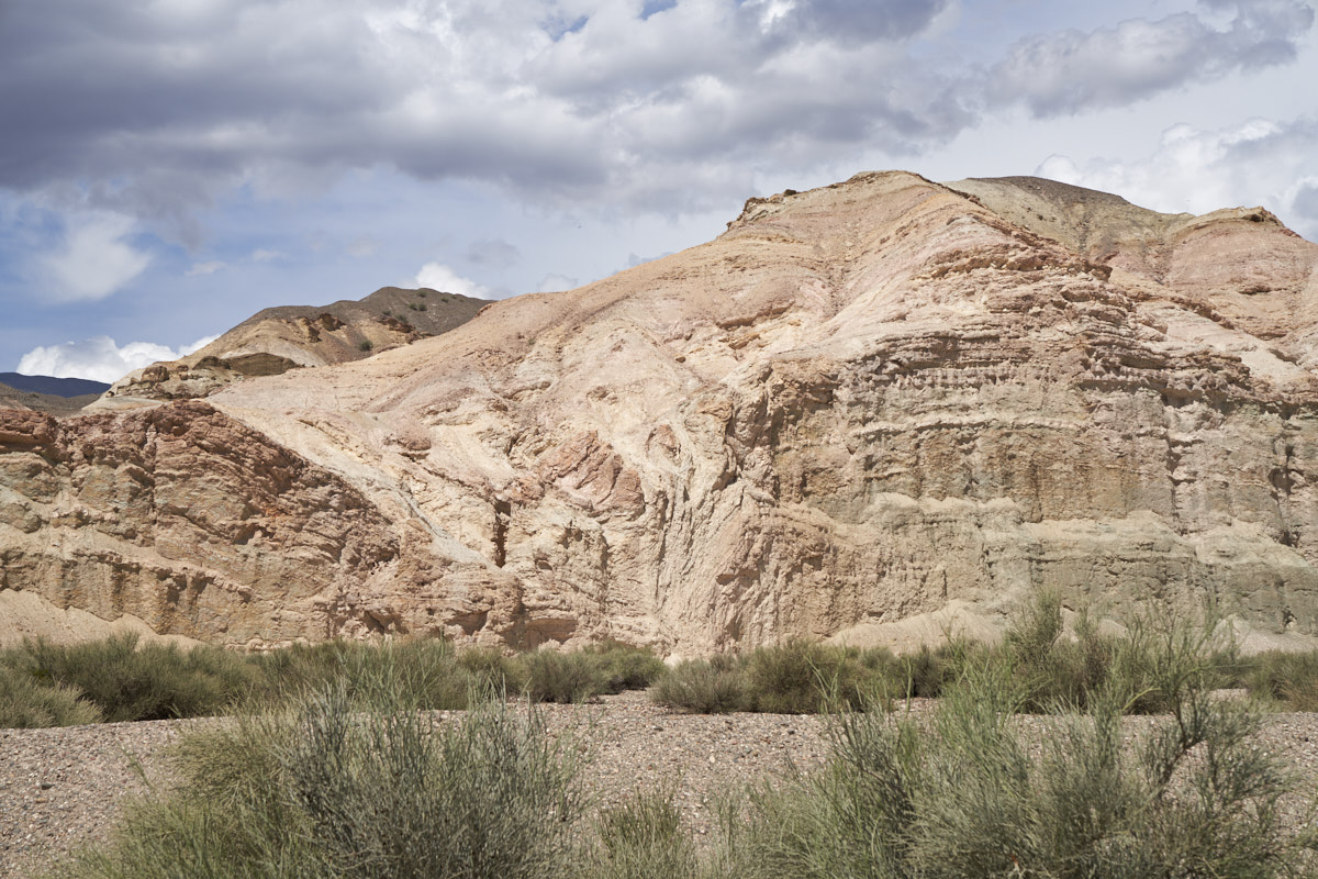
We
stopped to admire the colored cliffs and noted the signs of a
fault. Note the folding in the center of the photo above.
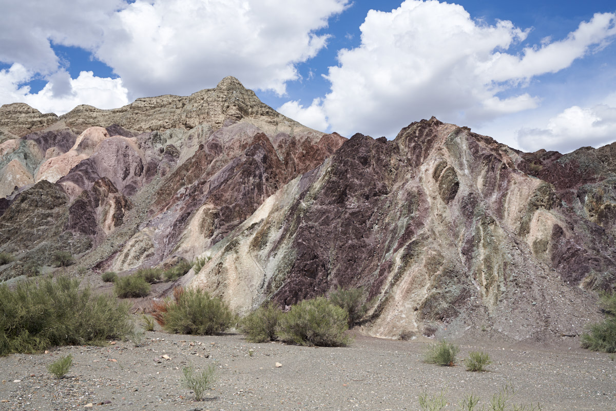
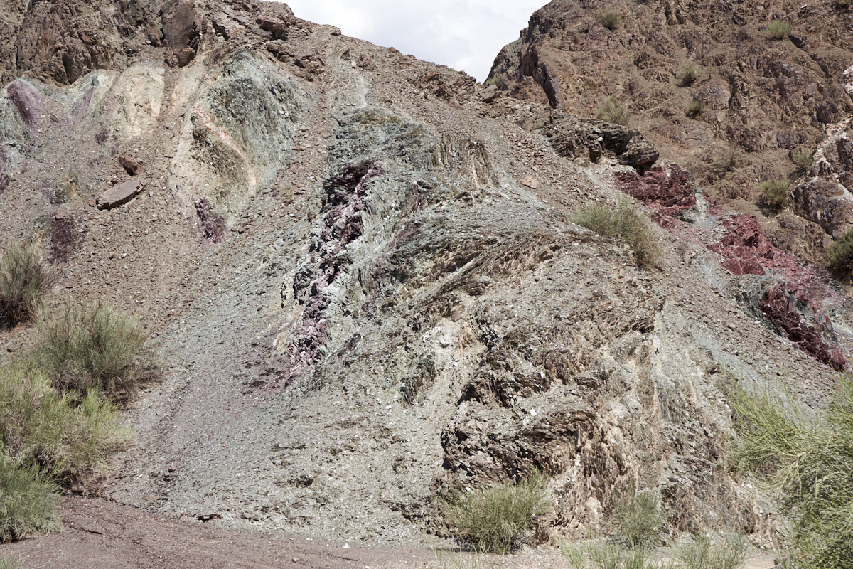
A bit
further north, we came upon a section of rocks that were dark
violet in color.
The
violet was intermixed with the lighter colored rock.
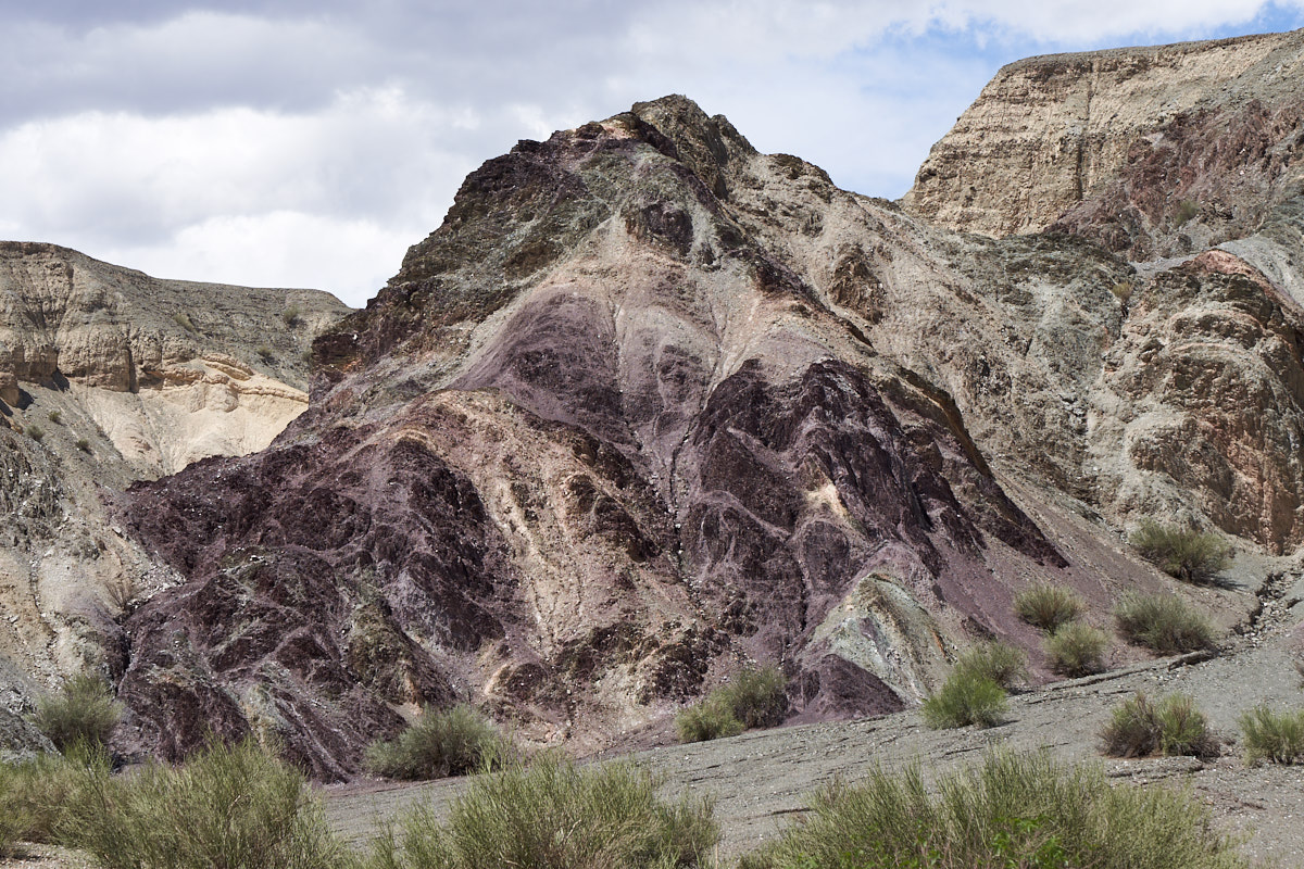
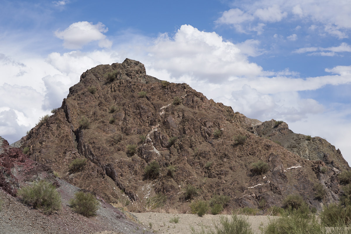
Nearby
was an area with intensely folded rock. Note the wrinkles
and swirls.
| Previous Adventure | ||
| Trip Home Page |
Photos and Text Copyright Bill Caid 2018, all rights
reserved.
For your enjoyment only, not for commercial use.