The photos below are what we saw.
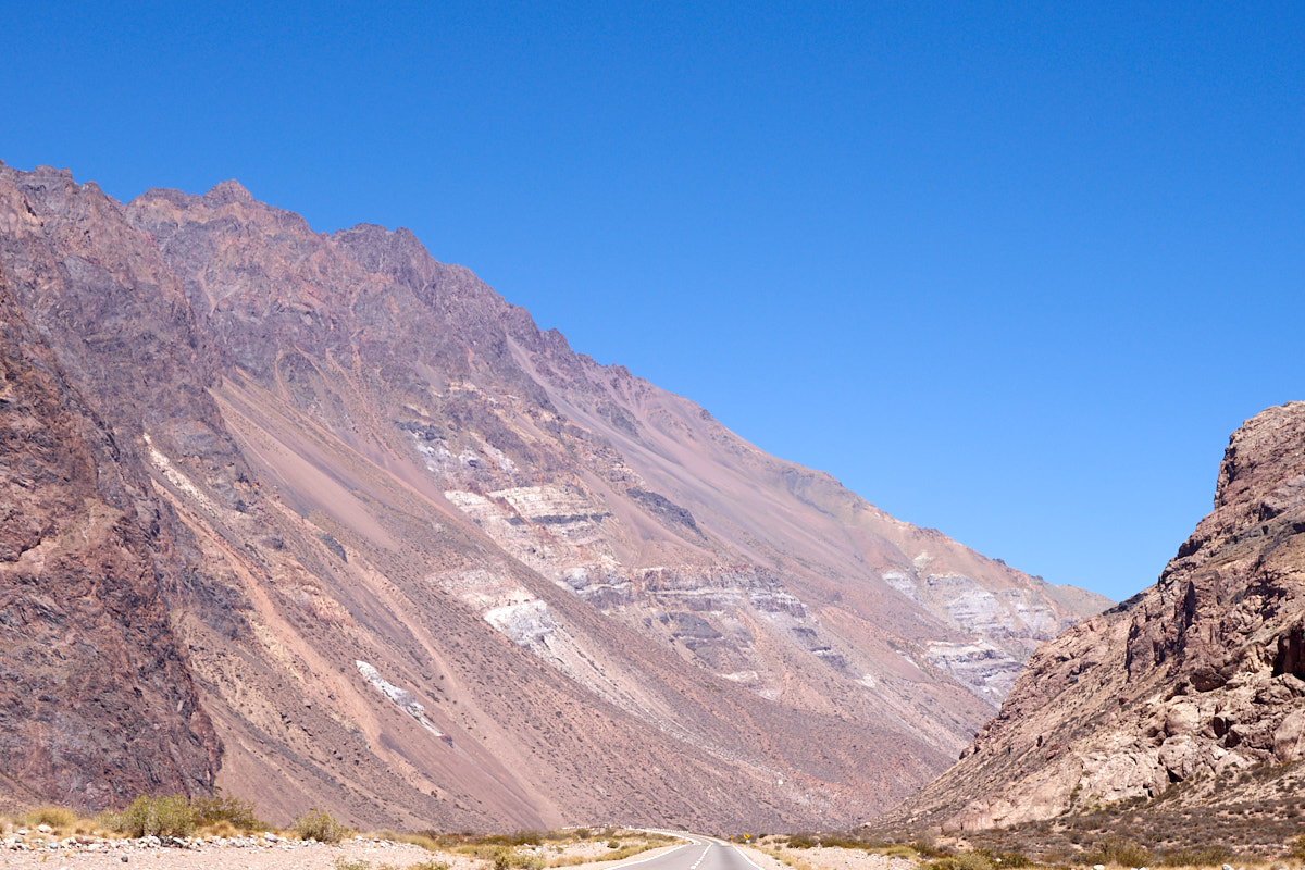
As the
highway continued toward the Chilean border, the canyon revealed
a multitude of different strata beneath the peaks. Bands,
stripes, subtle hues due to mineralization and volcanic outcrops
became visible.
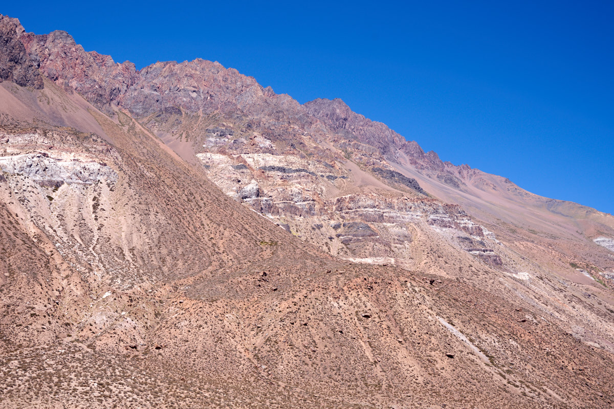
In the
bright sun, subtle colors in the rocks were visible.
High up
on the side of the cliff were outcrops of lighter
materials. Below, were volcanic outcrops.
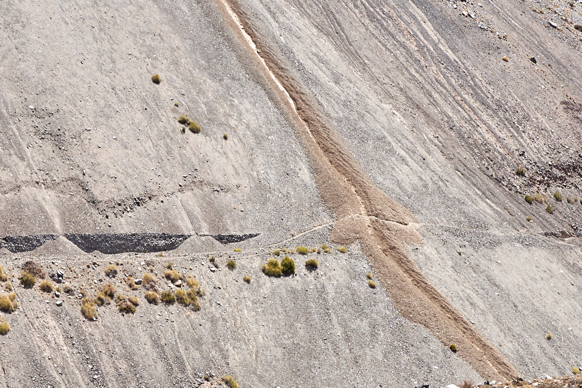
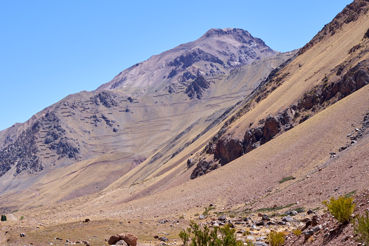
The old
road was visible across the canyon. Big portions of the
road were washed away by landslides and falling scree.
Above, the road has been co-opted by mountain bikers, the path
clearly visible. Also visible is a new water course that
runs through the scree. How the scree has been displaced
up and over to the side is a mystery. The scree slopes are
nearly impossible to walk up, but easy to go down if you don't
mind being chased by a few falling boulders and a million tons
of sliding material.
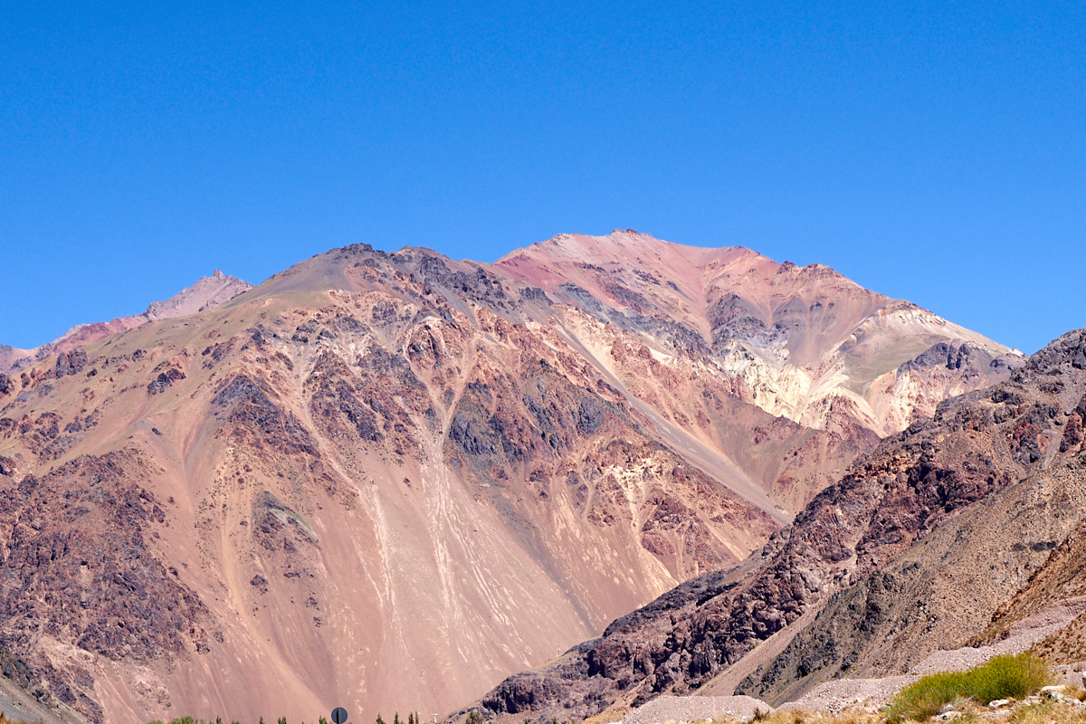
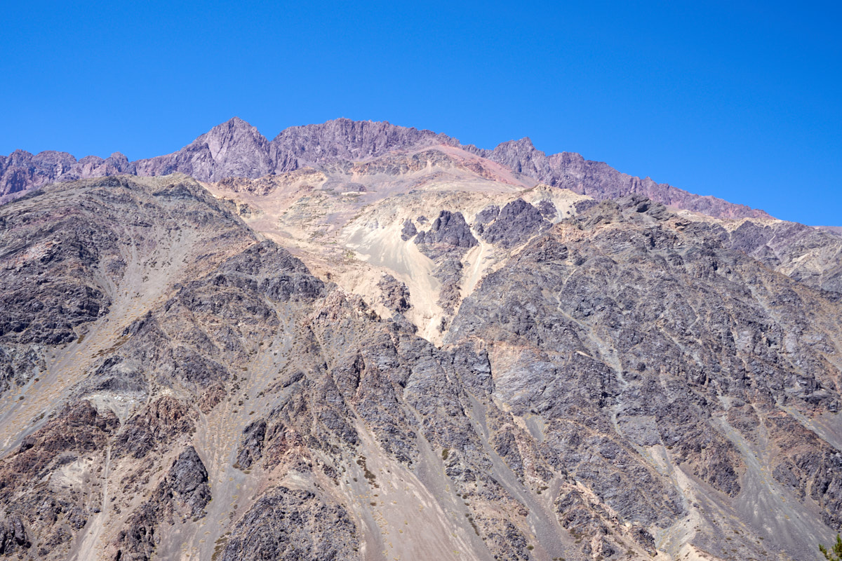
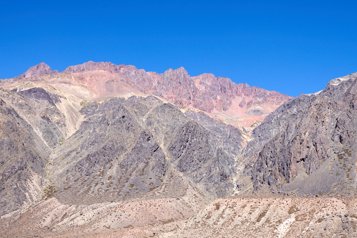
The
colors in this cliff were fantastic.
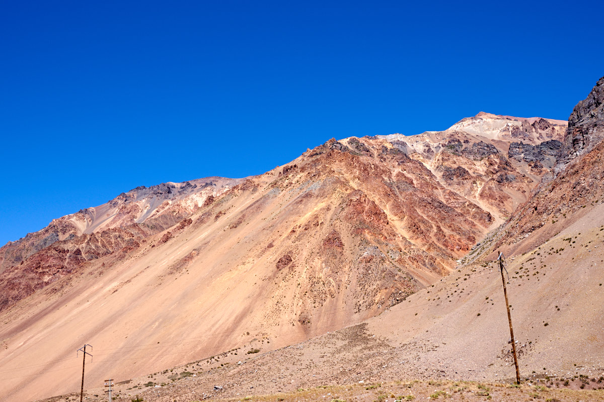
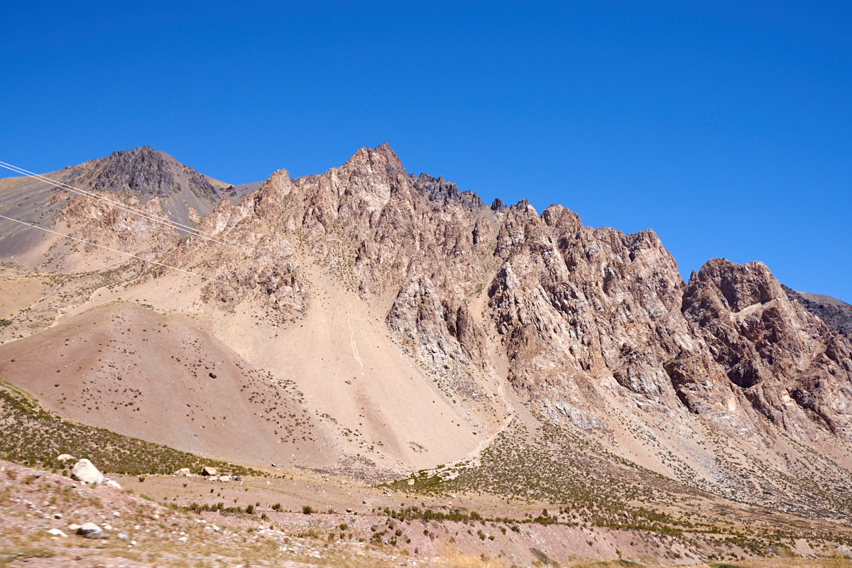
More
examples of large, steep cliffs with huge scree fans at their
base. The Trans-Andean power lines are visible in the
photo above.
The
weather was totally clear resulting in a brilliant, azure
sky. Note the red colors on the skyline at the left of the
photo above.
We are getting closer to the Chilean border; the old railroad tracks are visible along side of the current highway.
The
tracks on the mountainside are part of the Penitente ski area.
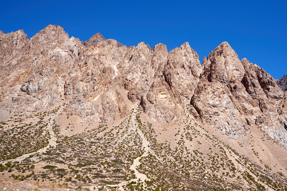
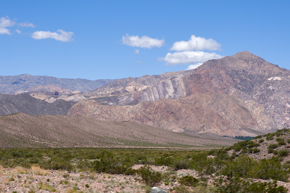
Every
new turn in the highway revealed massive rugged cliffs.
Note that the left peak in the photo above is of dark colored
rock, likely volcanic.
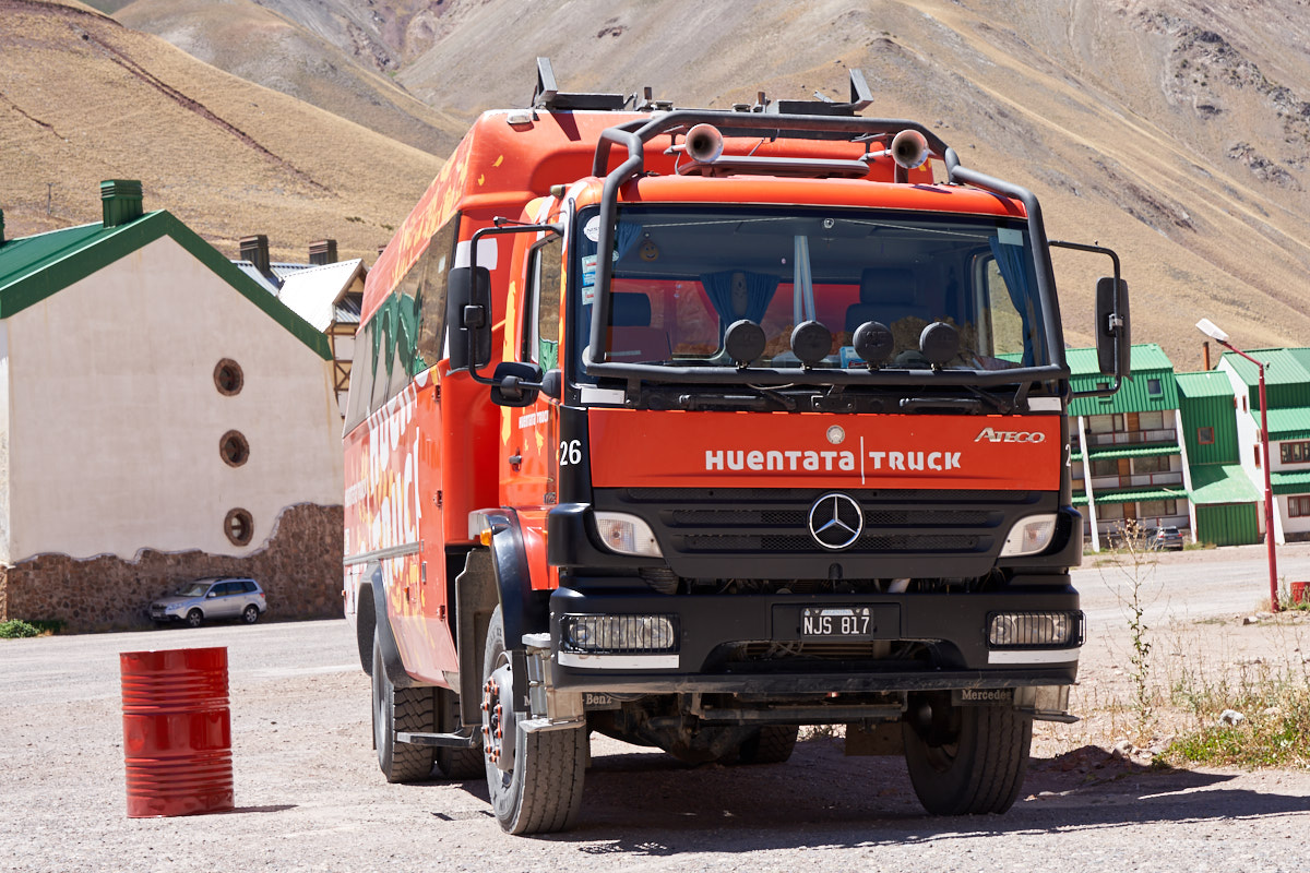
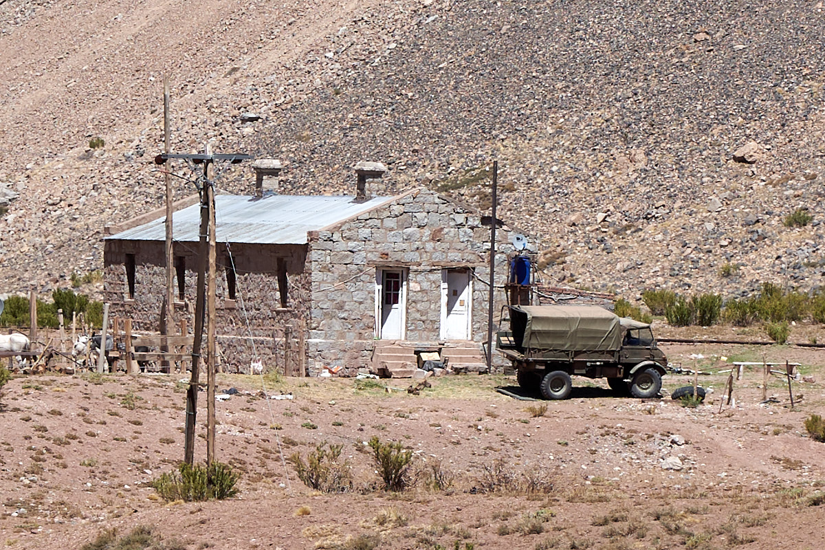
At the
Penitente ski area we spotted this Thor clone, only much
newer. Unlike my Mercedes 1017A, this is a 1725A: 17
metric tons GVW and 250 horsepower. Or perhaps 250 kW
(which would be about 325 horsepower)
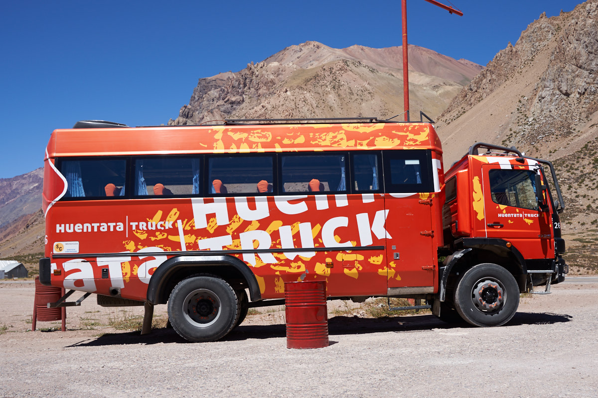
This is
a well-built rig used for shuttling folks around the
back-country.
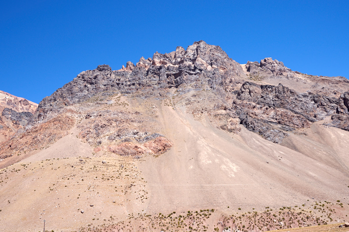
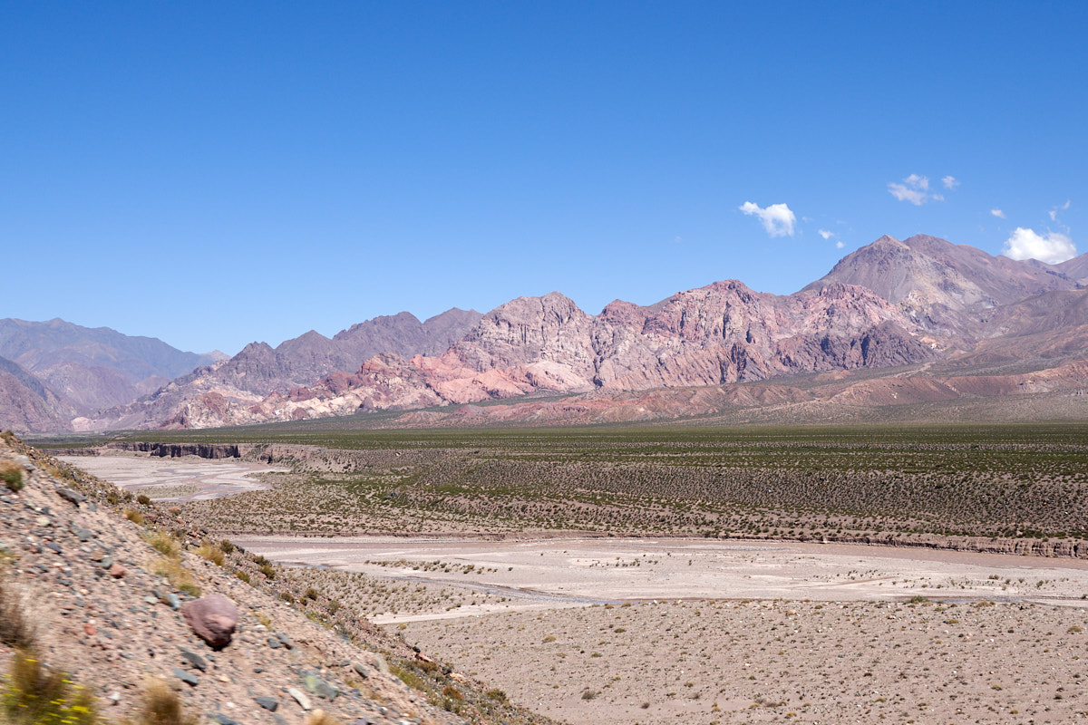
Rugged
cliffs and huge alluvial fans.
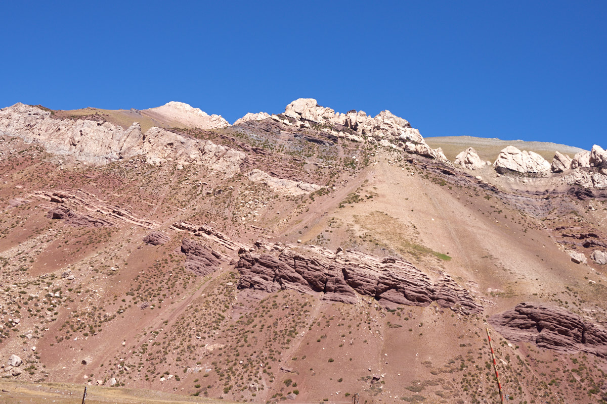
Layers
of limestone were exposed further up the canyon.
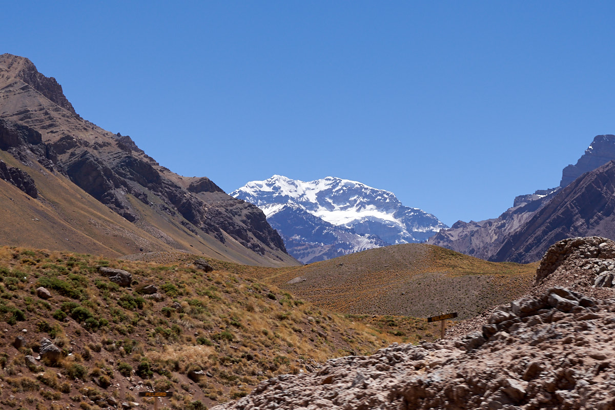
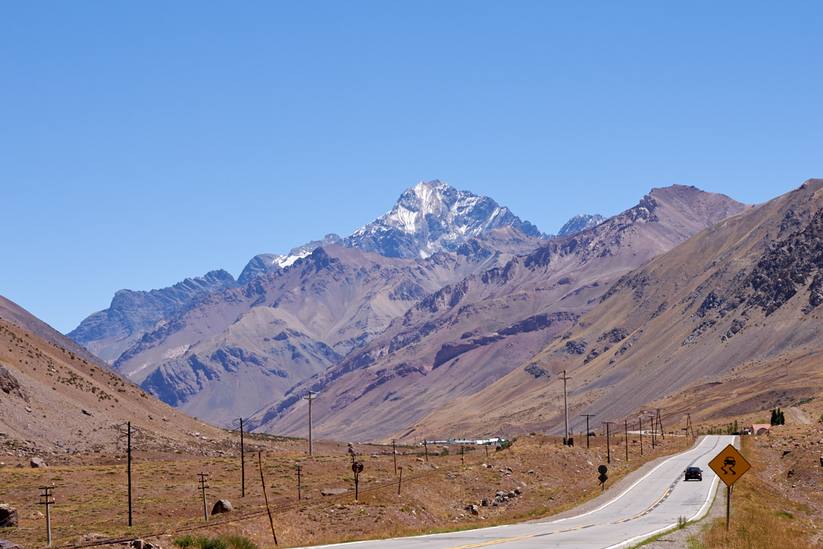
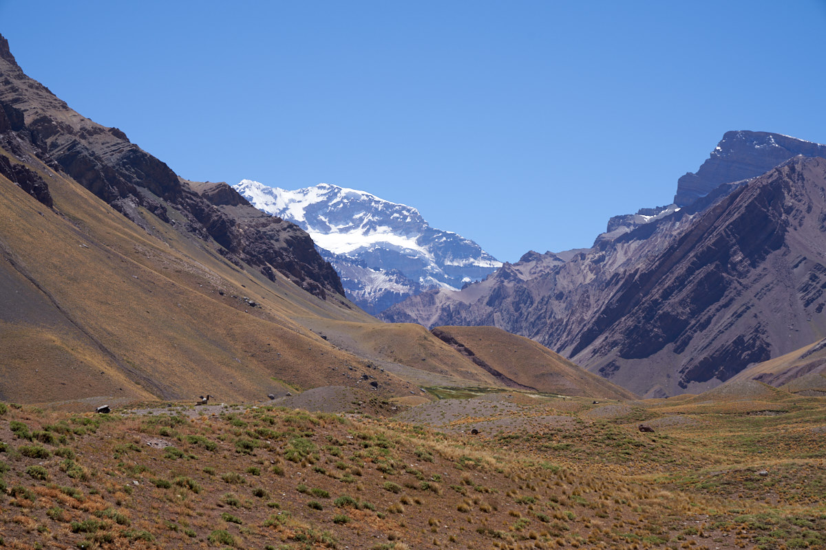
Our
first view of Aconcagua.
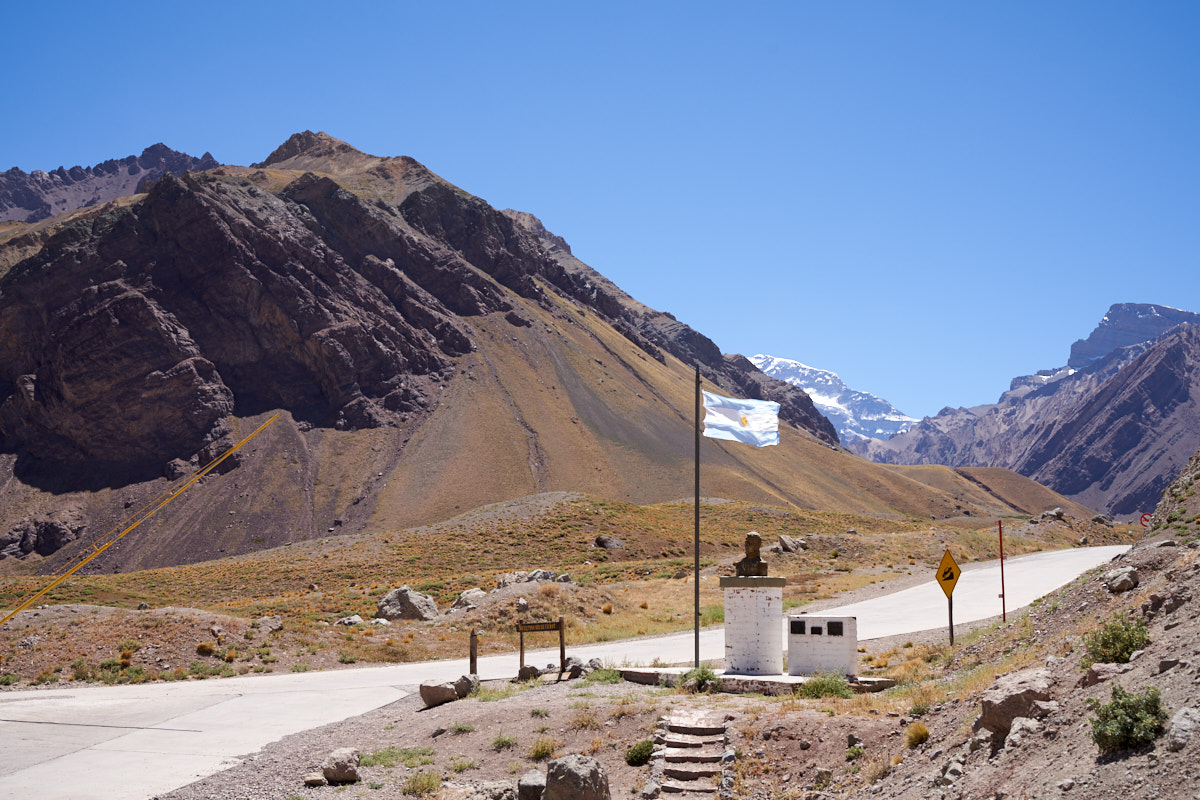
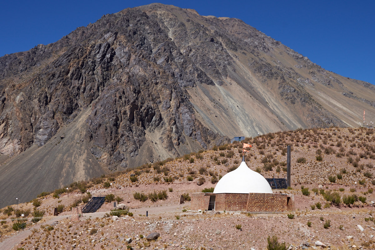
Aconcagua
peak is within a Argentine provincial park. To get past
the marker, a permit was required. The parking area was at
about 10,000 feet.
We
parked in the parking lot (no permit required) and walked to the
nearby viewpoint to get a better view of Aconcagua. Note
the huge cornices just waiting to slide onto unsuspecting
victims.
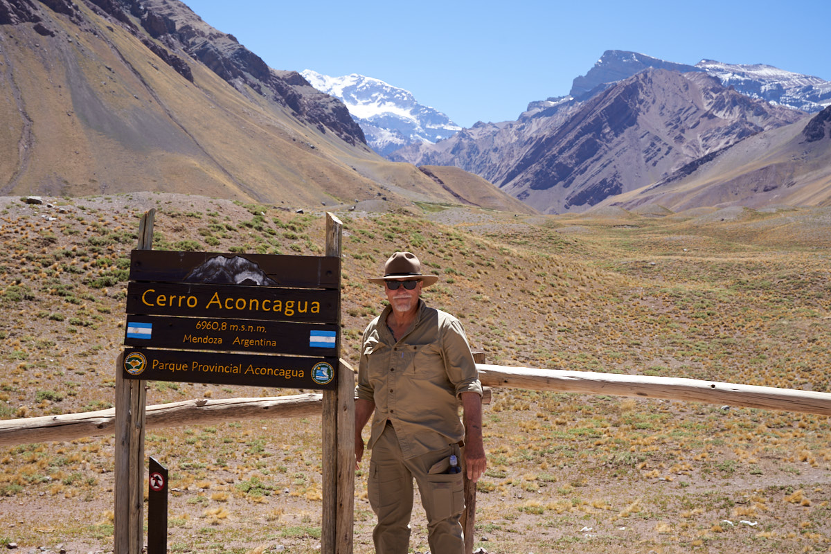
I
normally don't take photos of myself, but Kathleen insisted on
memorializing the moment.
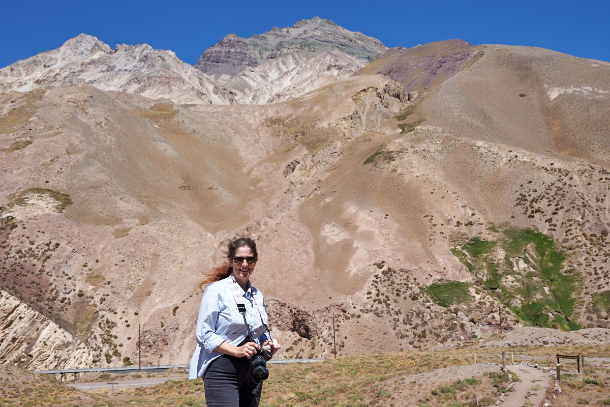
What
comes around, goes around so I got a photo of Kathleen facing
Aconcagua. Note the white material exposed on the upper
peaks. Recall that we are at 10,000 feet, so these peaks
are way higher.
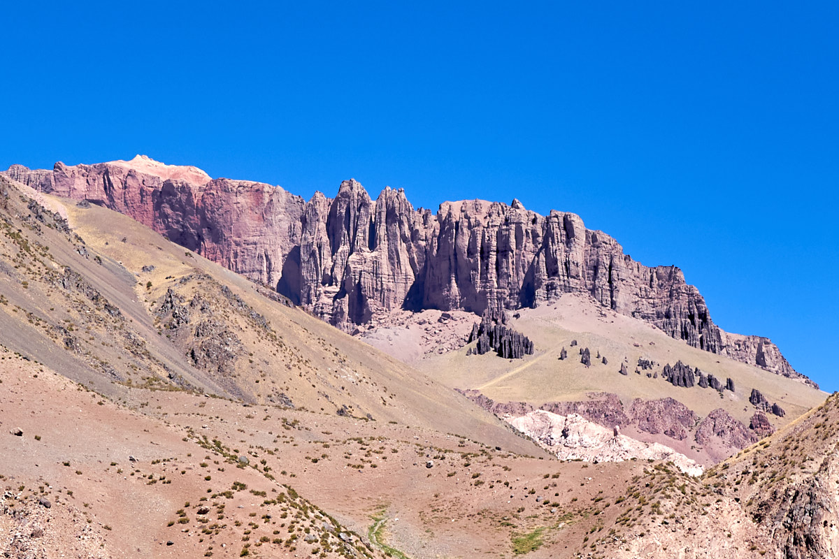
We
turned around at the park as the Chilean border was only 5 km
away. Because we had a rental car, crossing the border was
impossible so it was easier to just turn around. On the
downhill path, we spotted these awesome cliffs, curtains and
spires on the south side of the canyon.
| Previous Adventure | ||
| Trip Home Page |
Photos and Text Copyright Bill Caid 2018 all rights
reserved.
For your enjoyment only, not for commercial use.