The
photos below are what we saw.
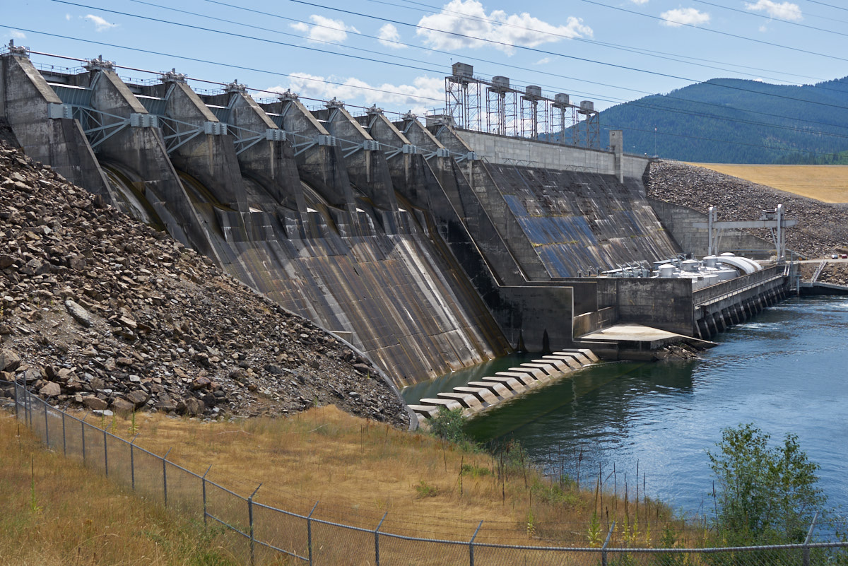
South of
Clark Fork we came to an overlook for Noxon Rapids Dam.
Small by the standards of the "high dams of the west" (i.e.
Hoover, Glen Canyon and Flaming Gorge) this dam is a private dam
and produces 488 MW of hydroelectric power. Visible in the
photo above are the spillways on the left of the dam; the
turbine house at the bottom right and the penstock control
towers at the upper right.
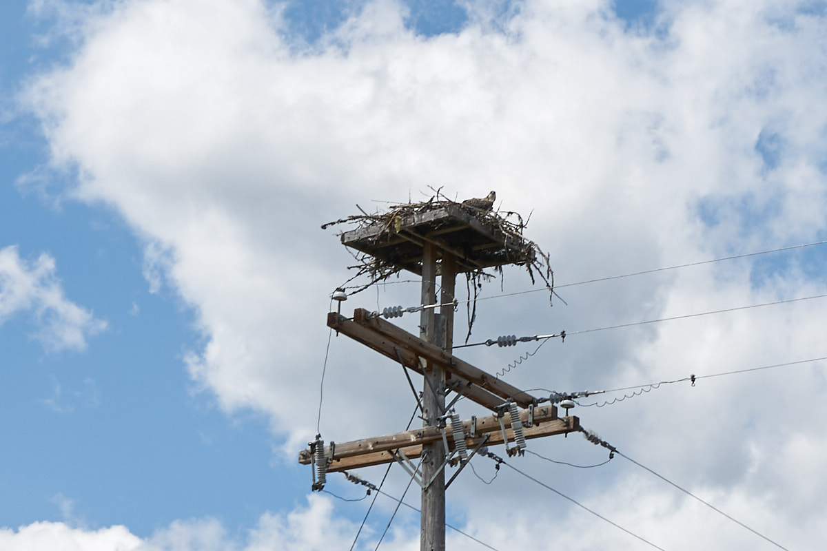
The
power company built a set of osprey nesting platforms.
Every one was occupied. This osprey was looking at Thor
and wondering "WTF is that?"
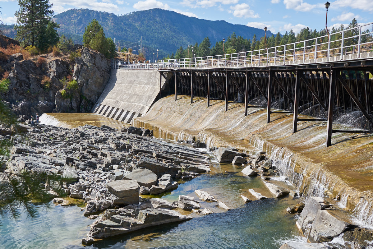
Further
south we came to Thomson Falls. There were a set of dams
there. This is the smaller of the two.
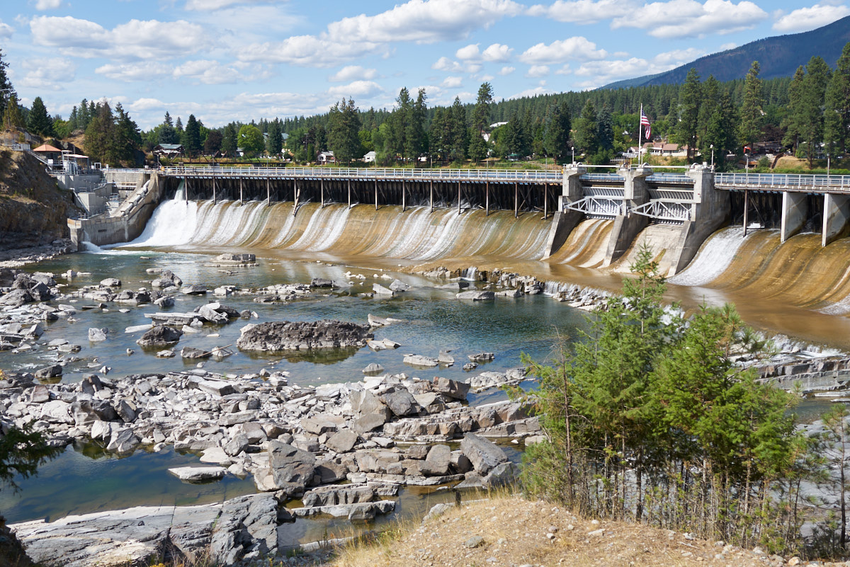
The
larger dam was wide but not very tall.
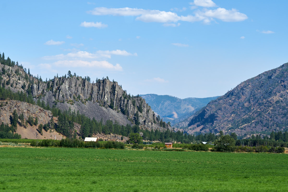
Traveling
south we passed these vertically-upturned beds overlooking the
river valley.
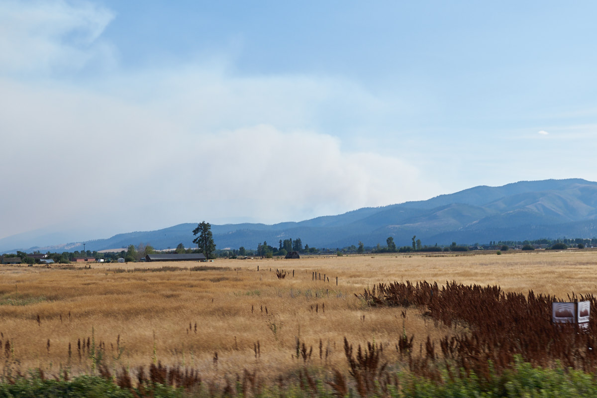
We
crossed the border into Montana and south of Lolo we came upon a
significant forest fire producing huge amounts of smoke.
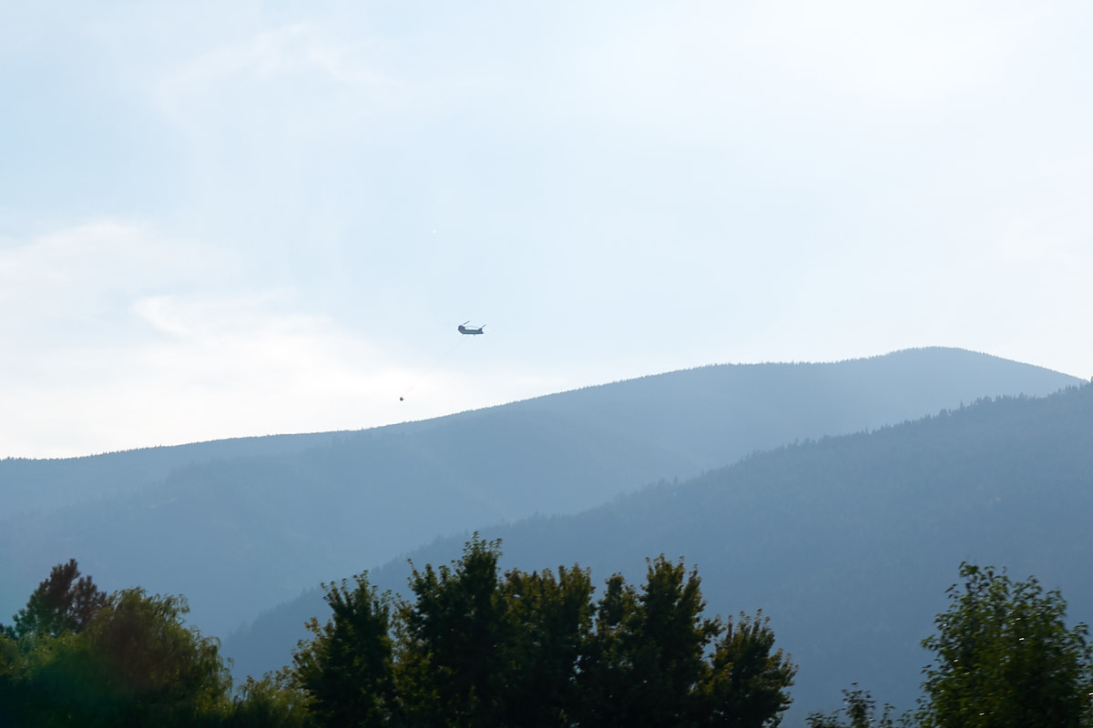
There
were several helicopters working the fire. This Chinook
was hauling a water dipper bag en-route to a hot spot.
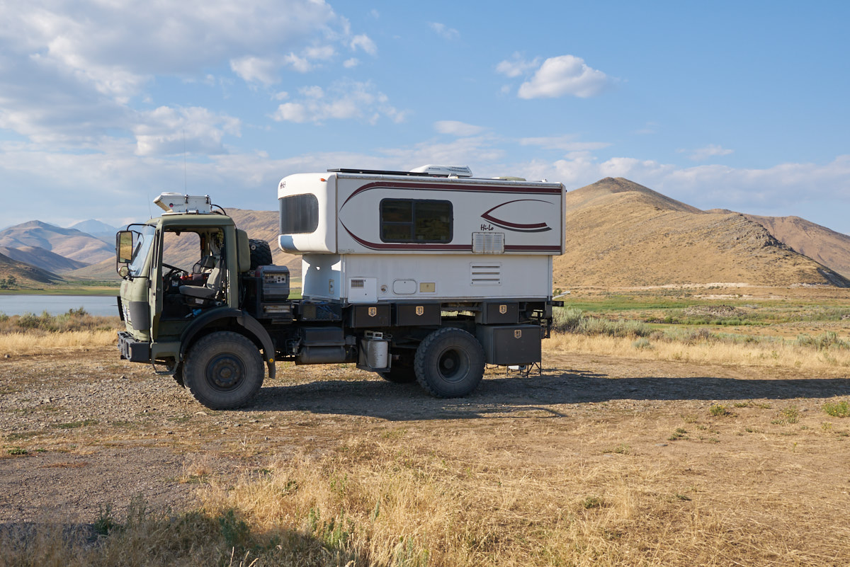
Our
destination for the night was a new ranch owned by our Unimog
friends Chas and Vanessa. Their place is near the mouth of
the canyon.
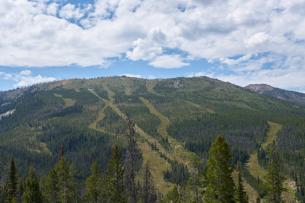
After a
pleasant night in Victor, MT we continued south and came to this
ski area on Lost Trail Pass.
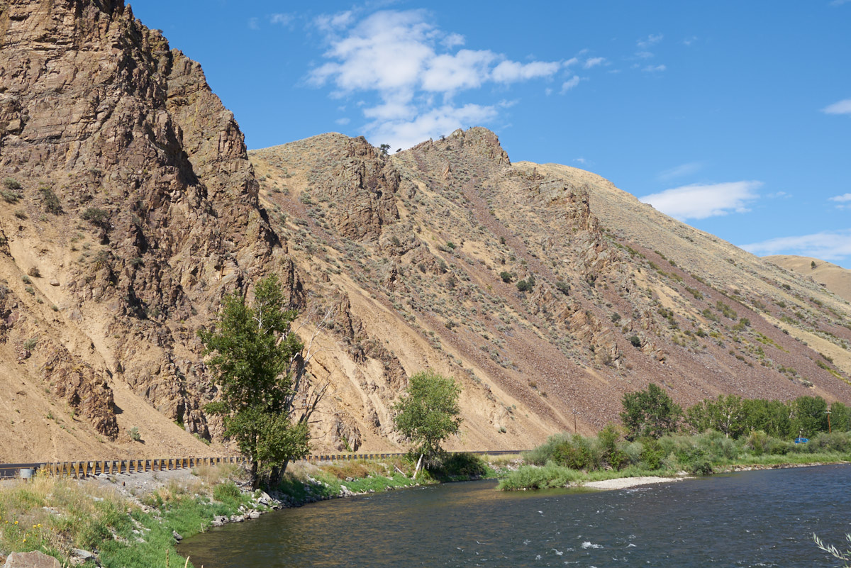
On the
south side of the pass we started following the Salmon River.
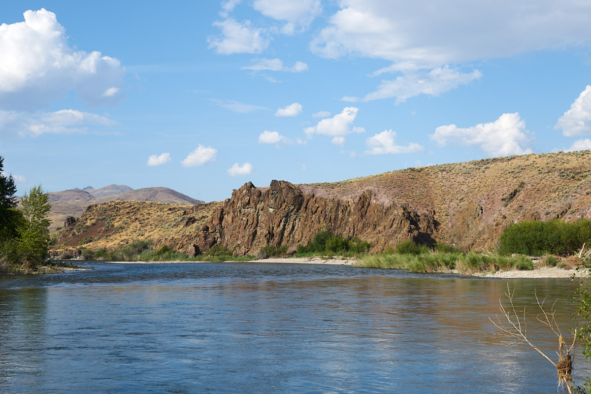
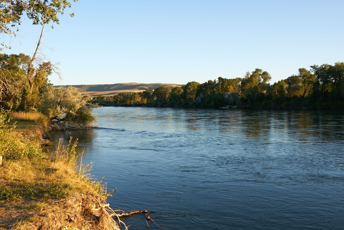
We stopped
for the night at a nice place called Cottonwood Camp right on
the Salmon. The photo above is from our campsite looking
upstream.
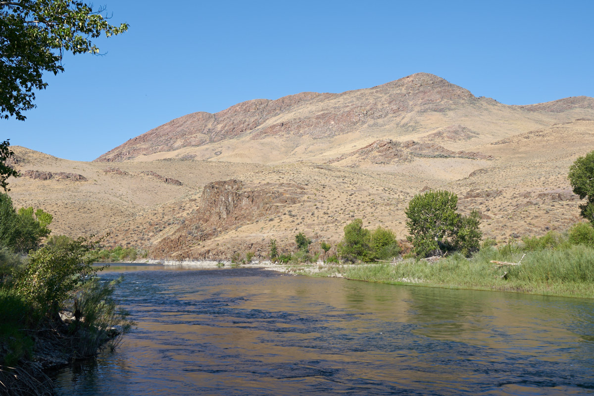
This is
the view looking downstream from our camp.
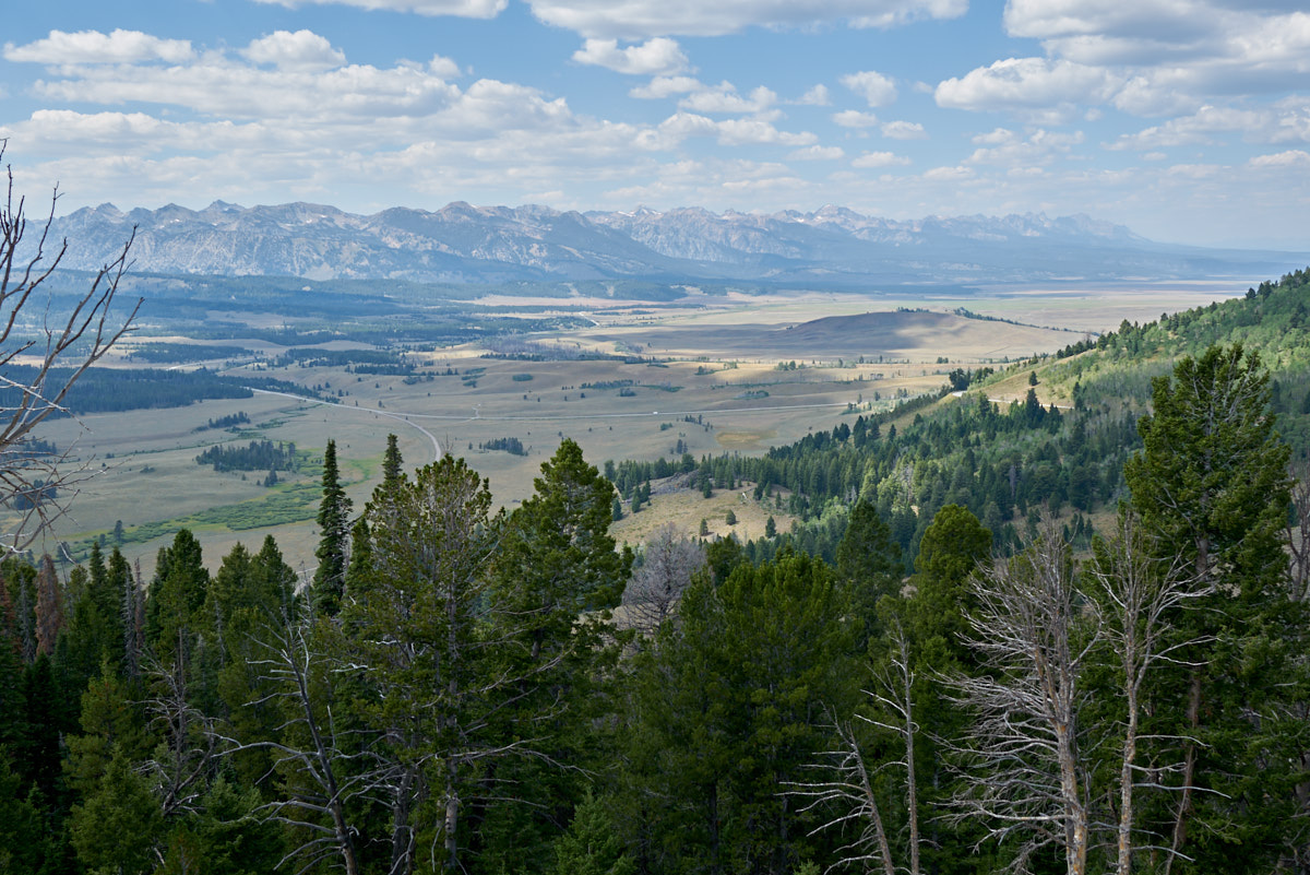
We took
the fork in the road that took us to Stanley, ID and then
continued south to the crest of a 8,000 foot pass that gave us a
great view of the Sawtooth Range in the distance.
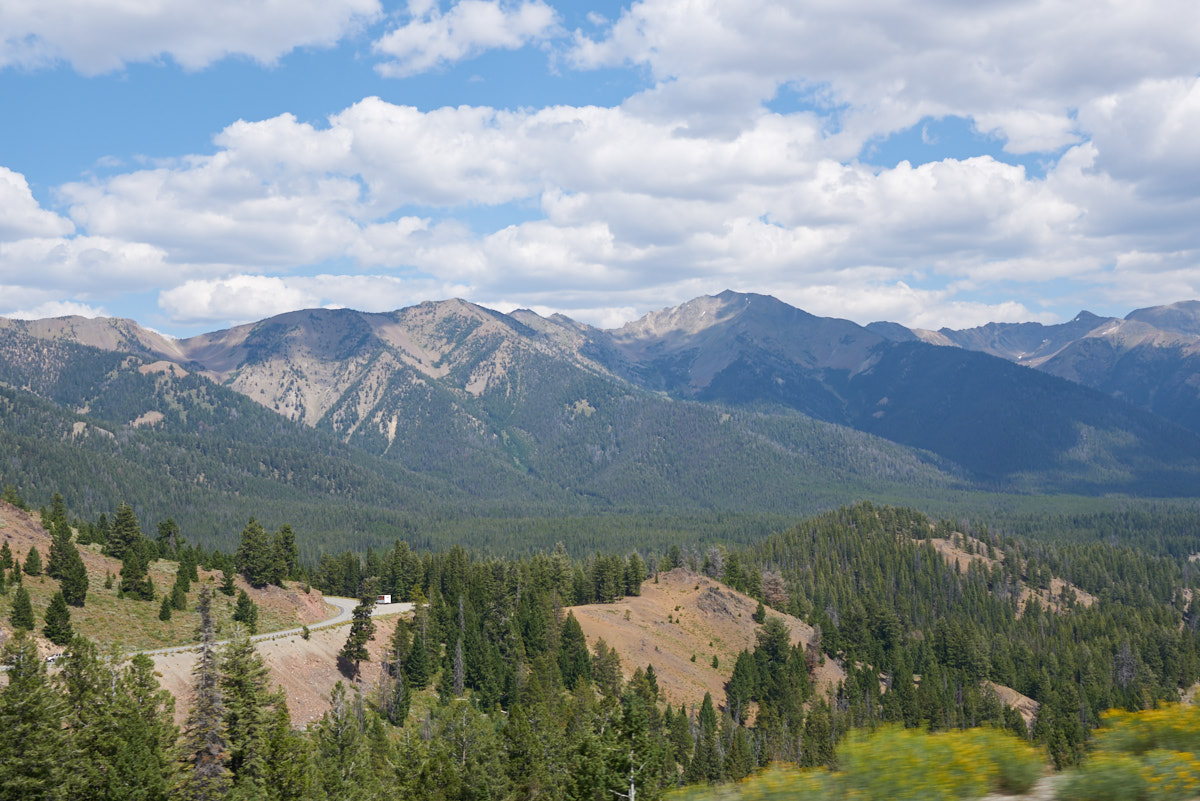
The
south side of the pass provided nice views as well.
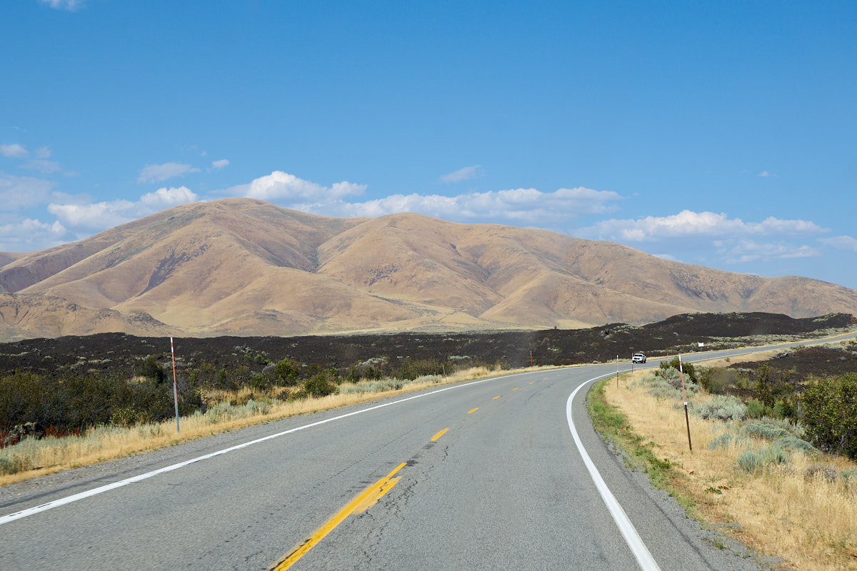
We
continued south through Sun Valley and then turned south-east
toward Arco. Near Craters of the Moon, we got our first
view of the lava fields.
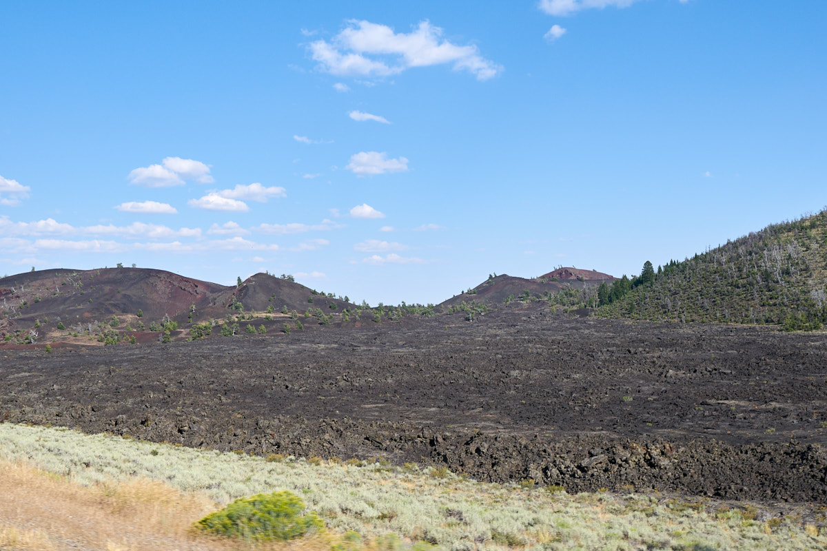
From the
main road we got a nice view of the lava fields and craters
beyond.
We
stupidly thought that at 7pm we could get a camping site at a National
Monument next to a major road. Ha! The campground
was (not surprisingly) full, so we backtracked west to Fish
Creek Reservoir. This was on the BLM map and it had precisely
ONE camp site. Due to the dirt road and a few ruts, we had
the entire place to ourselves, so we set out the chairs and
enjoyed the view.
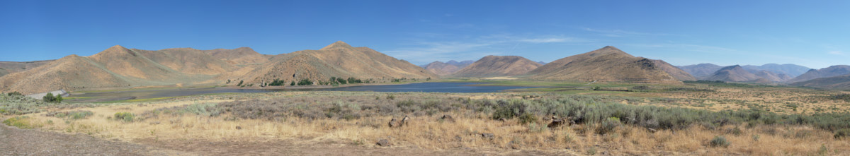
I
stitched together a 10-shot panorama of the view from our
camp. There is one ranch in the canyon on the far right of
the photo above. Other than that, nada.
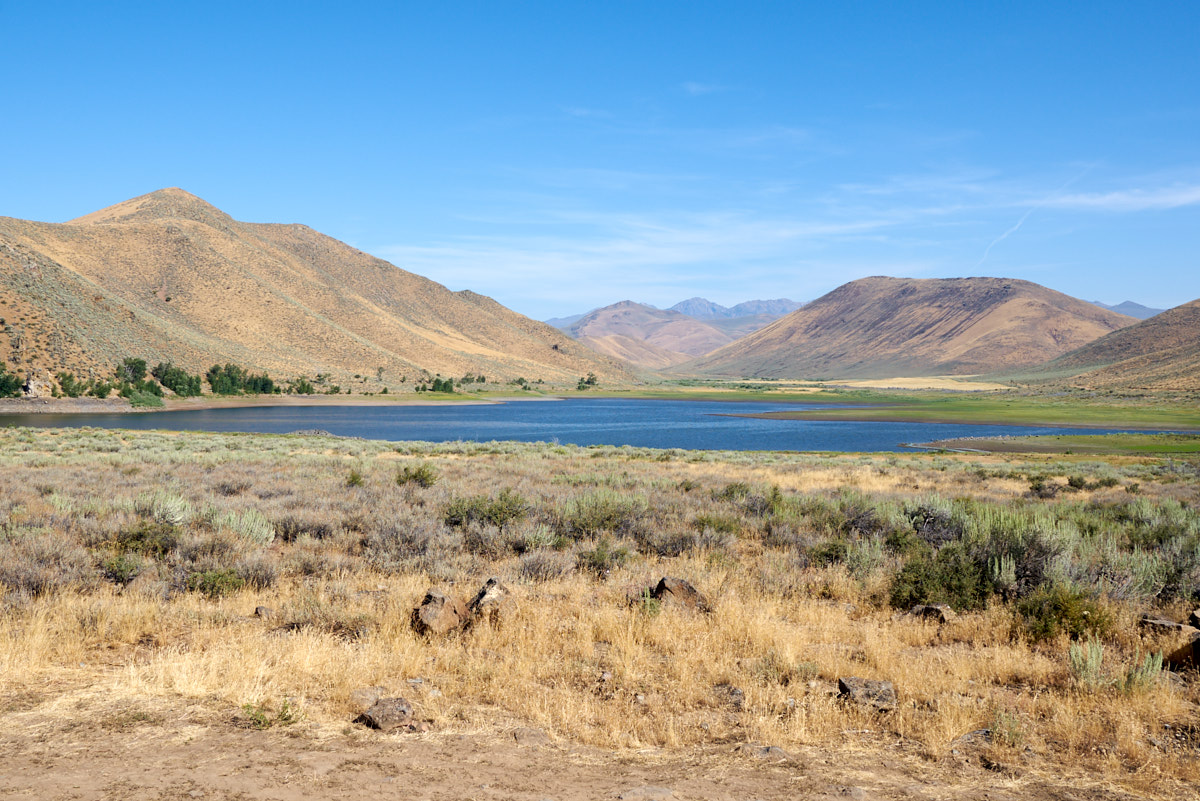
The
reservoir was very low, but we later found out why.
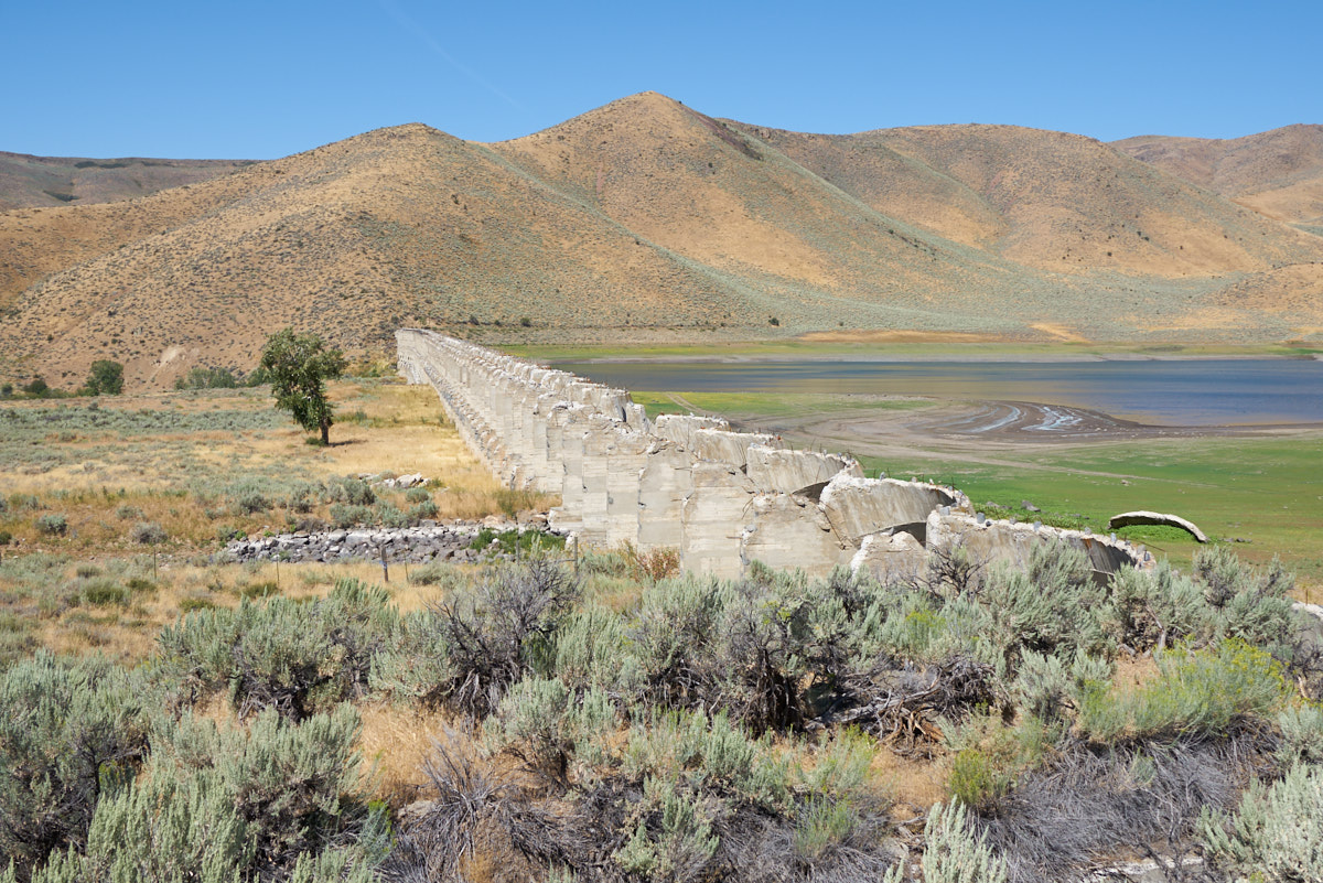
The dam
at the reservoir was trashed. I did not get the story on
whether it was intentionally demolished or was the result of
flood damage.
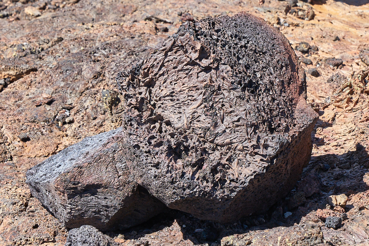
After a
pleasant night at the reservoir we returned to Craters of the
Moon to see what was there. This bit of lava rock caught
my attention due to the texture of the rock.
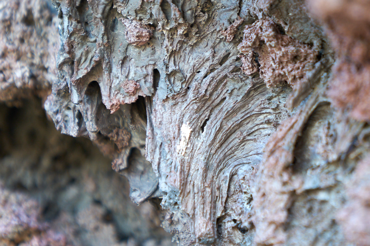
Lava
rock has plenty of dissolved gasses in it and the gas leaves
cavities in the rock. The varying chemical structure of
the lava results in the different textures.
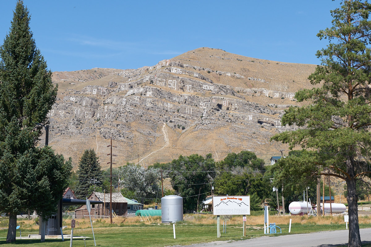
From
Craters of the Moon we traveled to Arco where we saw "Number
Hill" where the local high school classes paint their graduation
year on the rock cliffs. This looks like a dangerous
process requiring technical climbing gear and a spotter to
control the outline of the numbers.
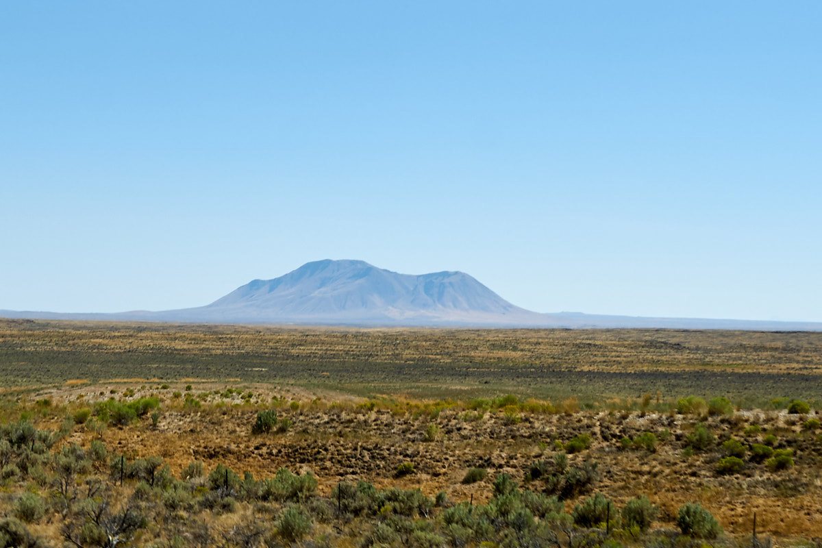
In the
distance out on the Snake River Plain we could see another large
volcanic cinder cone.
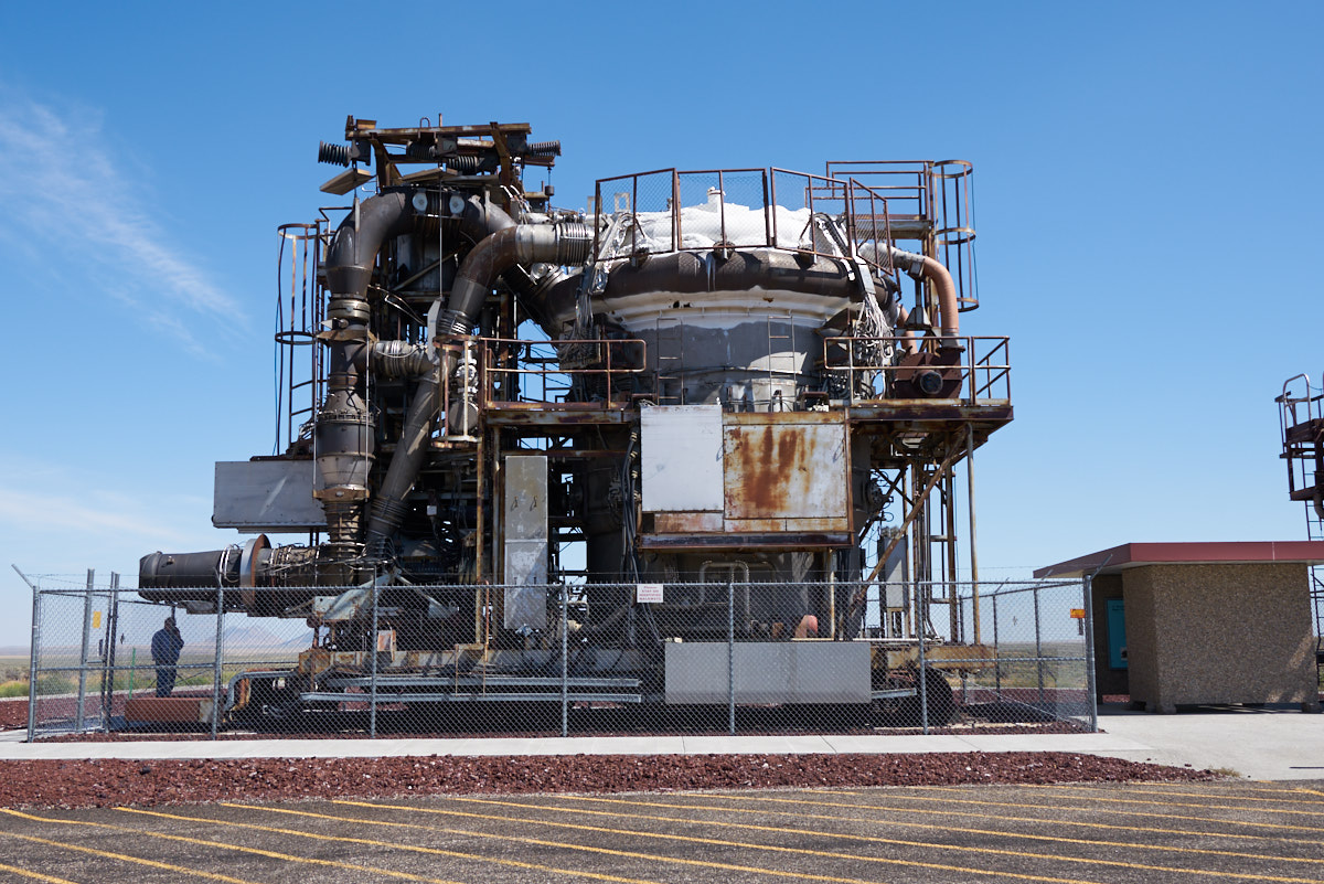
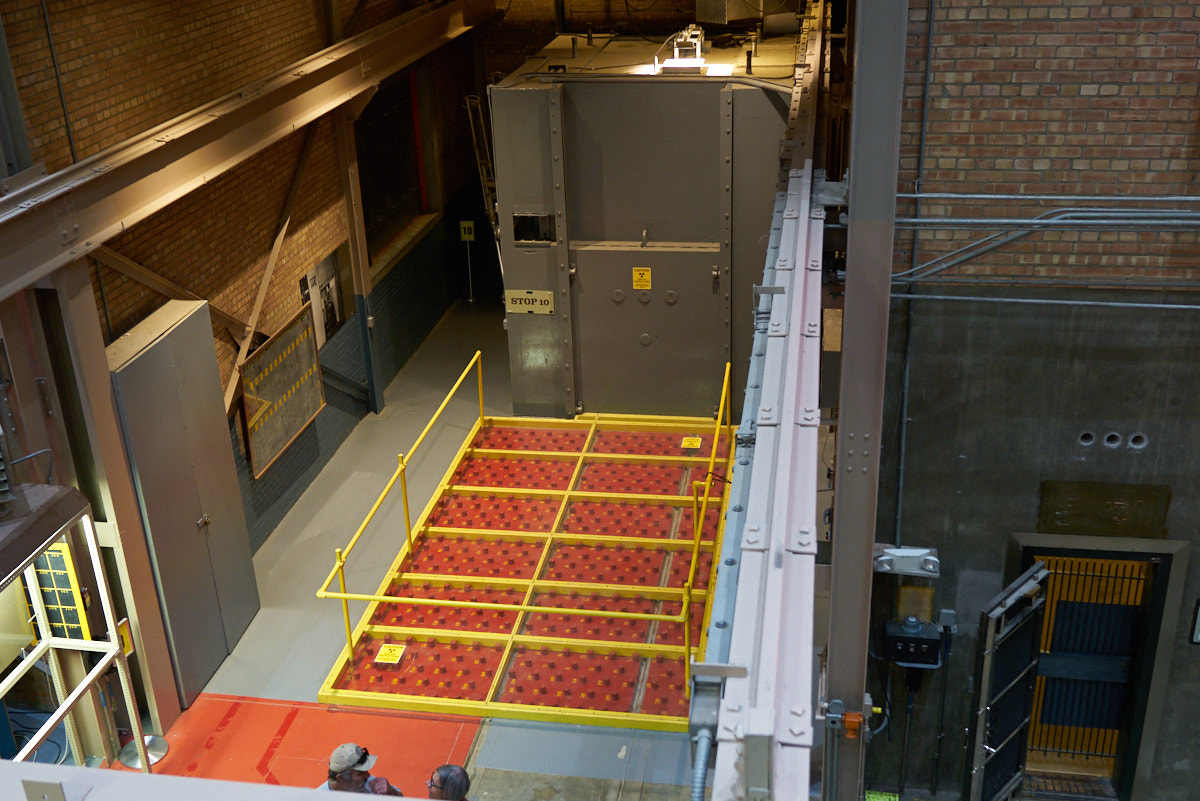
Our path
took us east toward Idaho Falls. We passed the Idaho
National Laboratory and we passed a sign for the EBR-1 so we
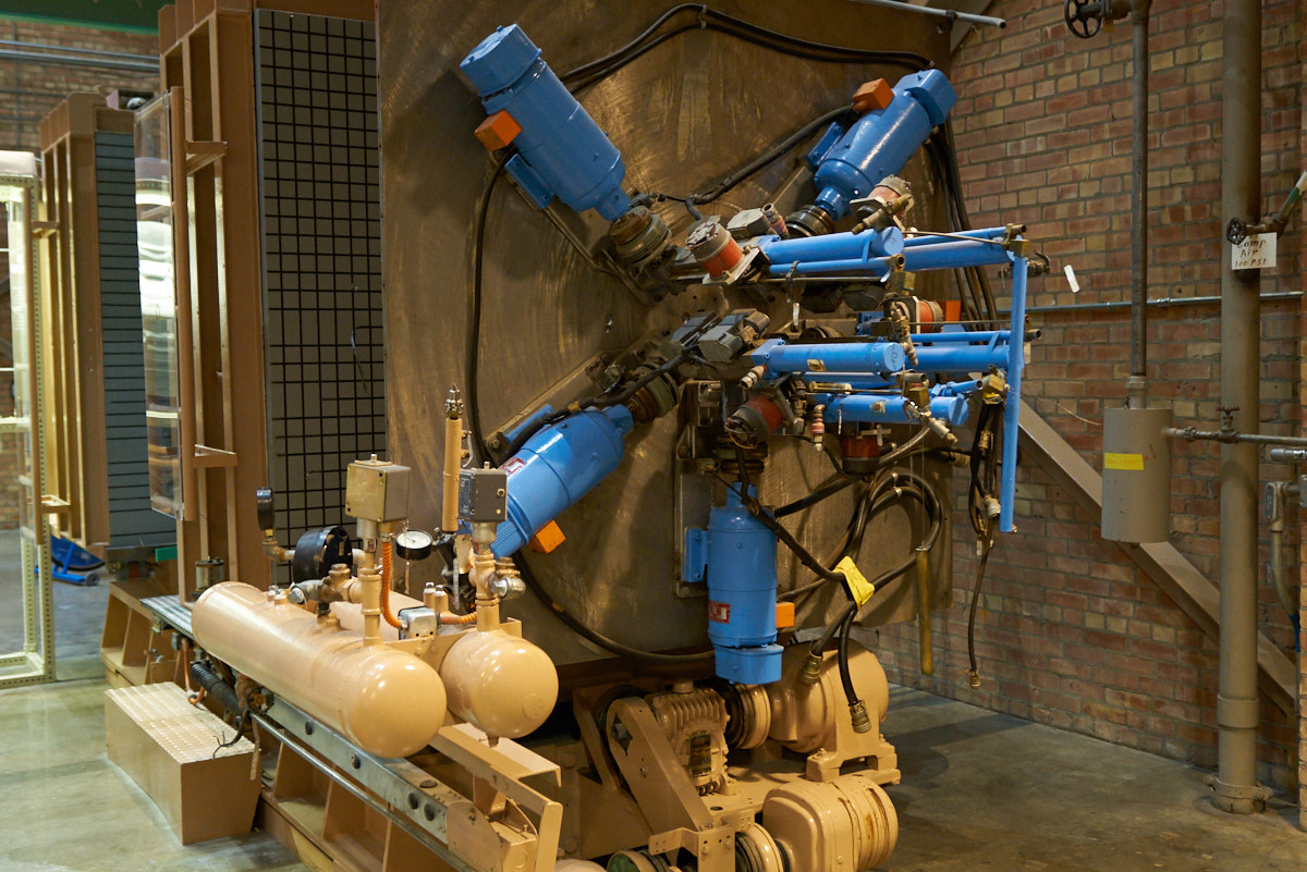
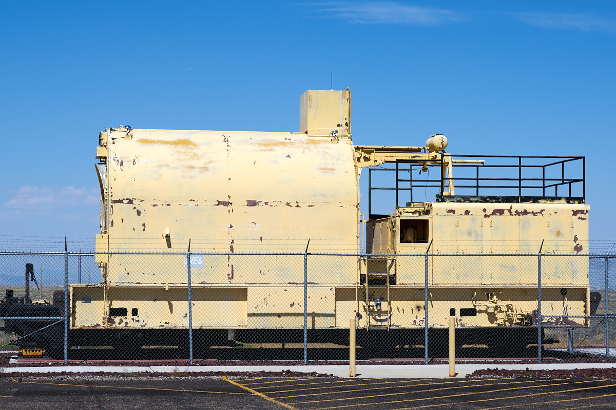
decided to check it out. EBR stands for Experimental
Breeder Reactor. The large piece of equipment in the photo
above was a test of using nuclear energy to power a jet
engine. Two experimental versions were produced. The
photo above is the first unit.
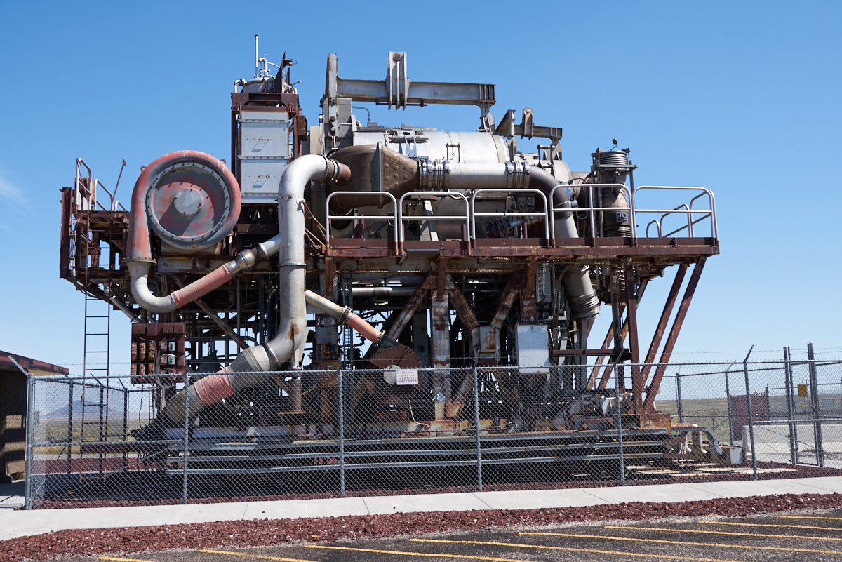
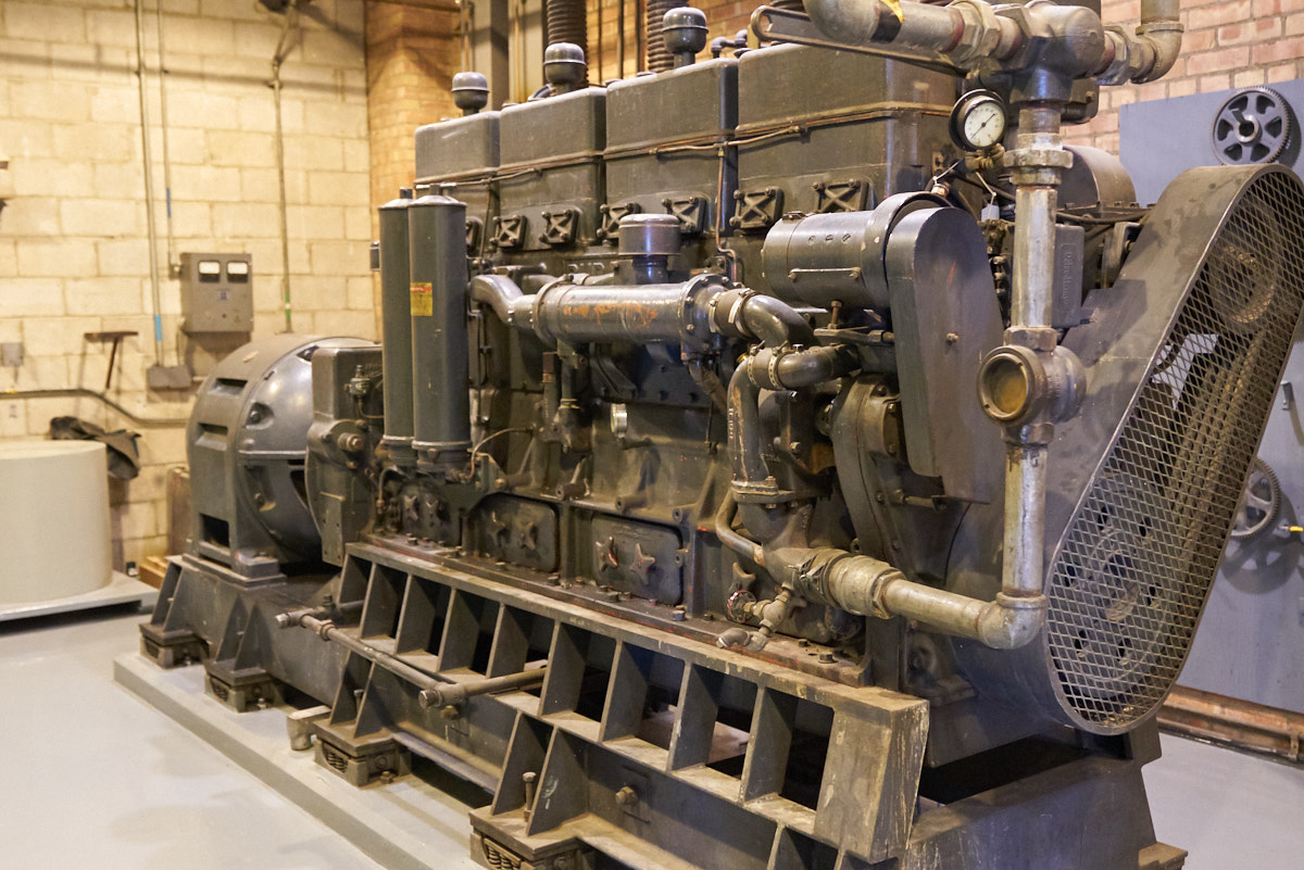
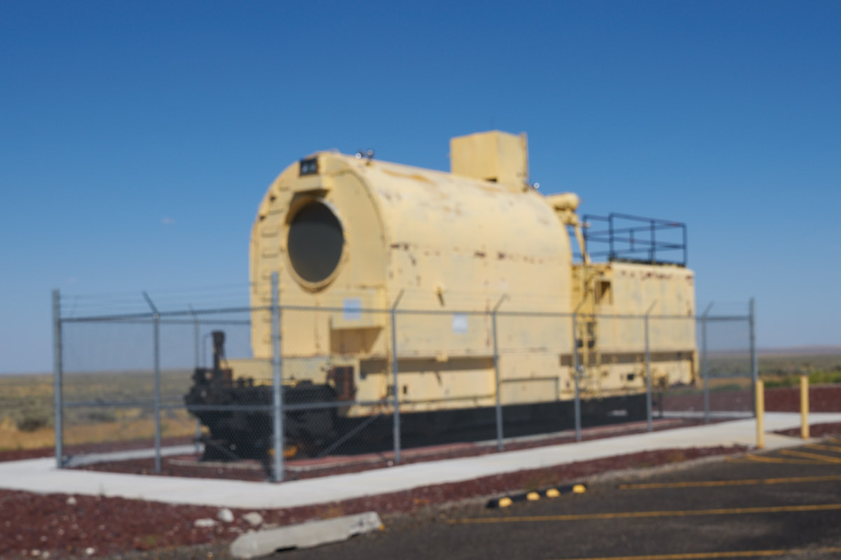
This is
the second unit. Both versions were successful, but in the
end the entire program was canceled due to overall safety
concerns of flying a nuclear reactor over populated areas.
That was a good call, in my opinion. About a billion bucks
were expended on this effort back in the day when a buck was a
buck.
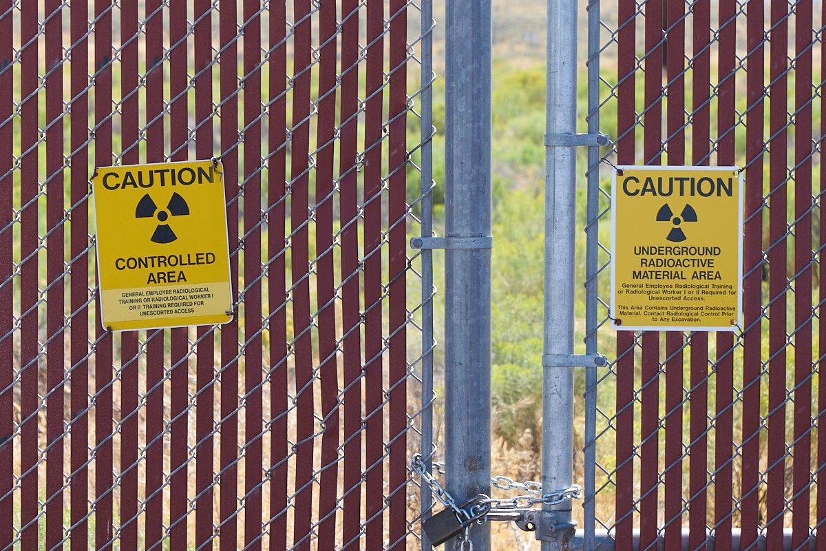
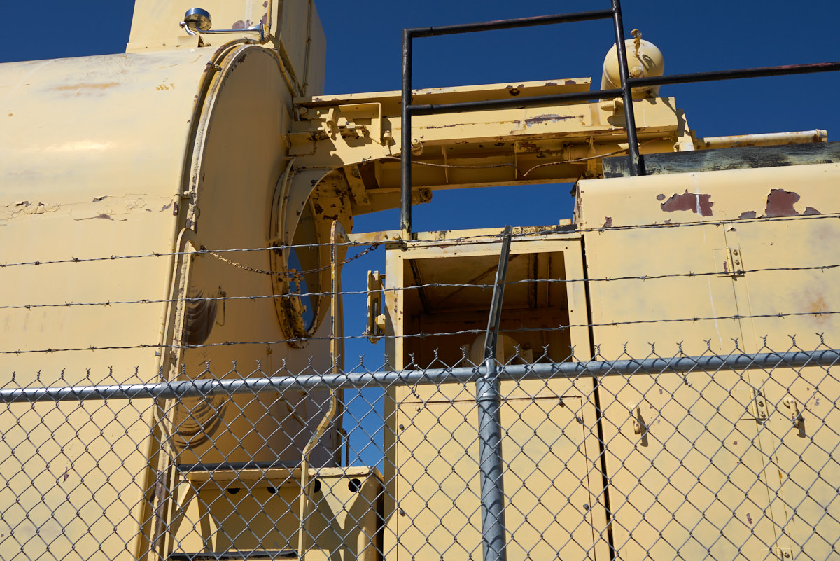
I was
rather surprised that the area was open to visitors as it is
likely still "hot" (i.e. radioactive). The signs suggest
that some portions of the area adjacent to the museum are indeed
hot.
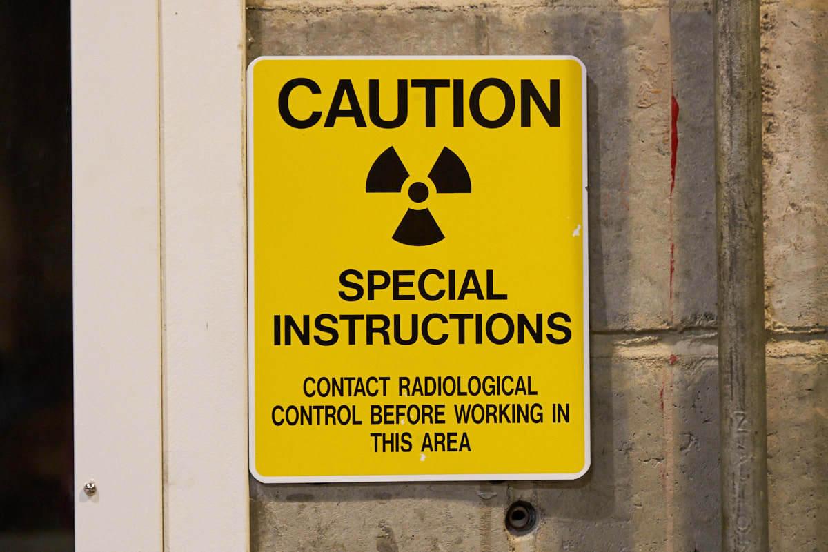
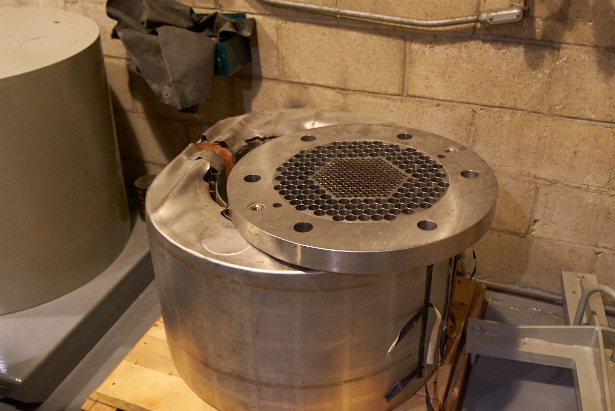
Several
of the areas inside the museum had these signs. The EBR
used liquid metal (sodium and potassium) as coolant for the
reactor for a variety of reasons. Sadly, both sodium and
potassium react violently when they come in contact with water
so very special methods of handling were needed, particularly in
case of fire.
| Previous Adventure | ||
| Trip Home Page |
Photos and Text Copyright Bill Caid 2017, all rights
reserved.
For your enjoyment only, not for commercial use.