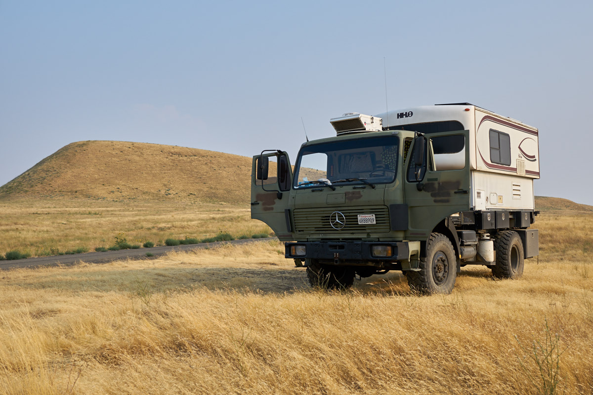
Part 5: Bull Prairie Lake, OR to Clark Fork, ID

20170811-12

Navigation Links
 Trip Home Page     


The Trip

We had a cool and quiet night at Bull Prairie Lake.  Next morning, we rolled down from the mountains to the heat of the lowland prairies.  Our objective for the night was Palouse Falls.

The Photos

The photos below are what we saw.
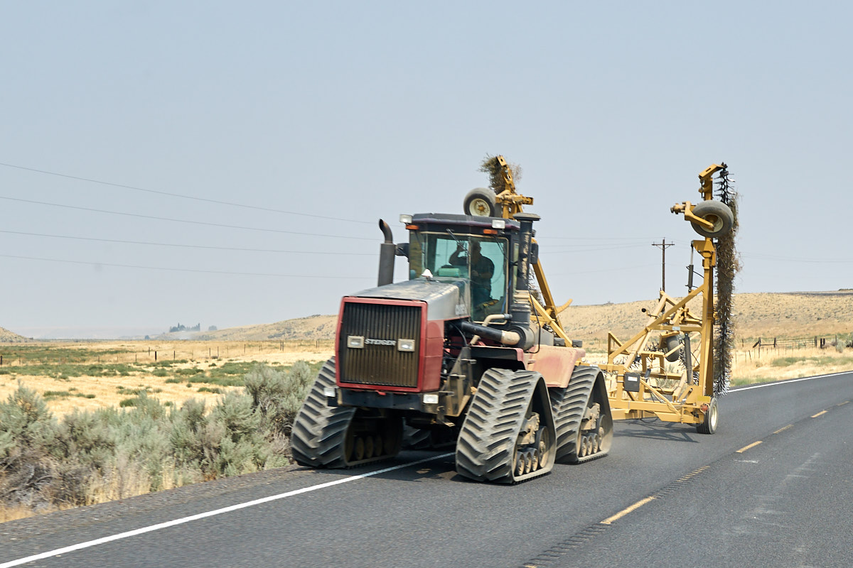
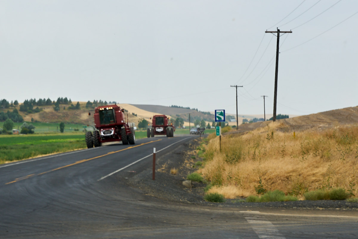
This farmer waves hello as he rolled past with his tractor.  This area of Oregon is big into wheat farming and the hills were, literally, "amber waves of grain".

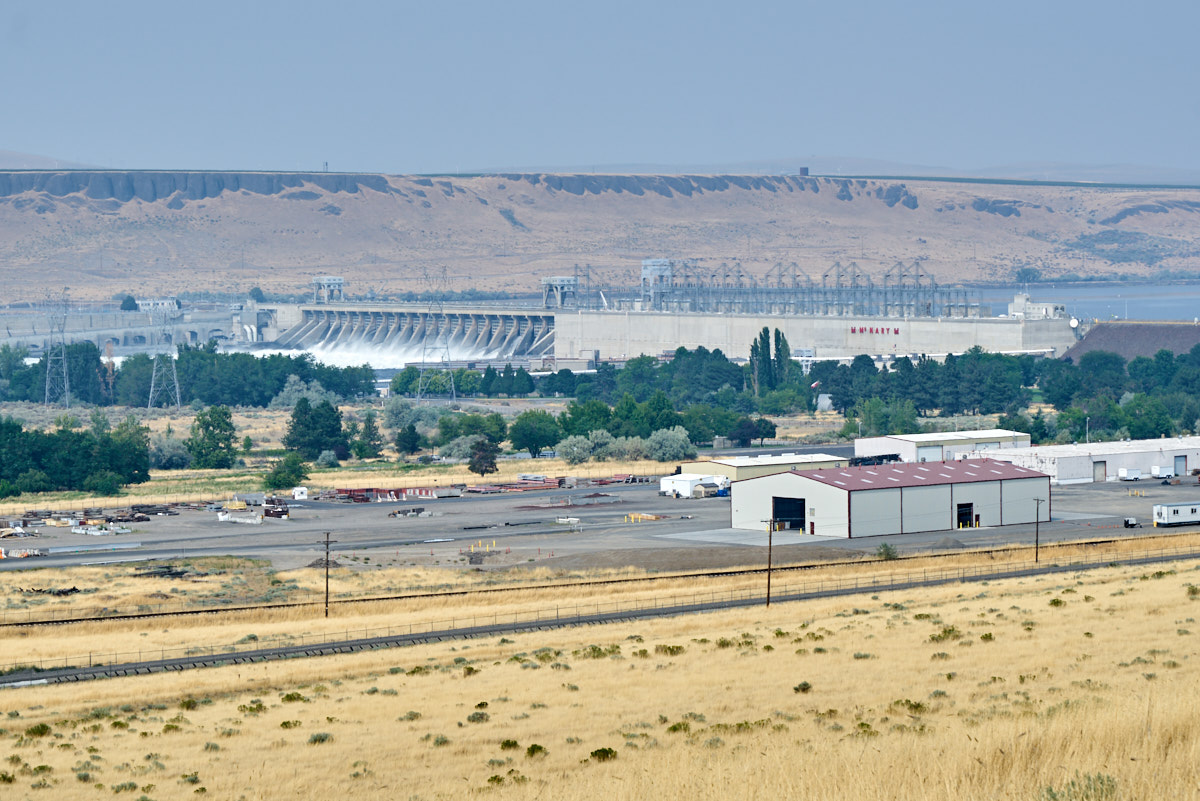
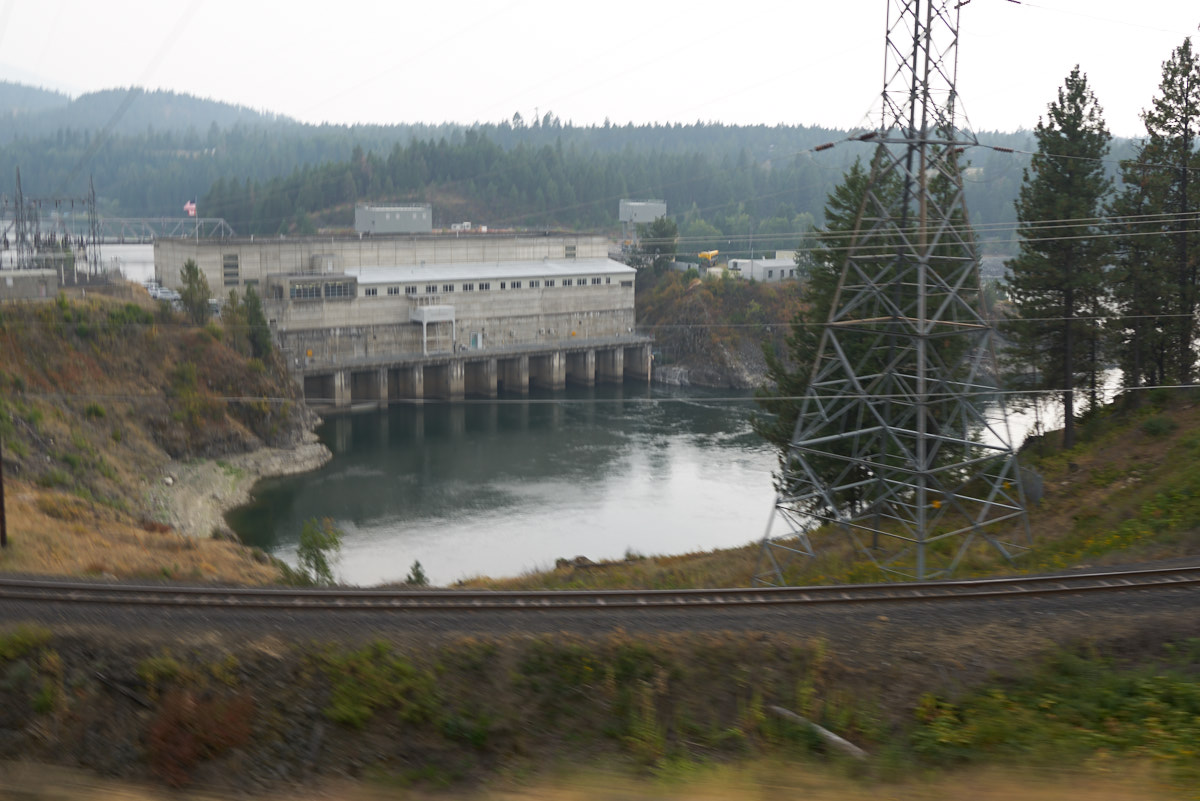
We hit McNary Dam on the Columbia River.

The Columbia is a massive river both wide and deep and supports ship traffic in both directions.  There are ship locks at the left of the photo above.
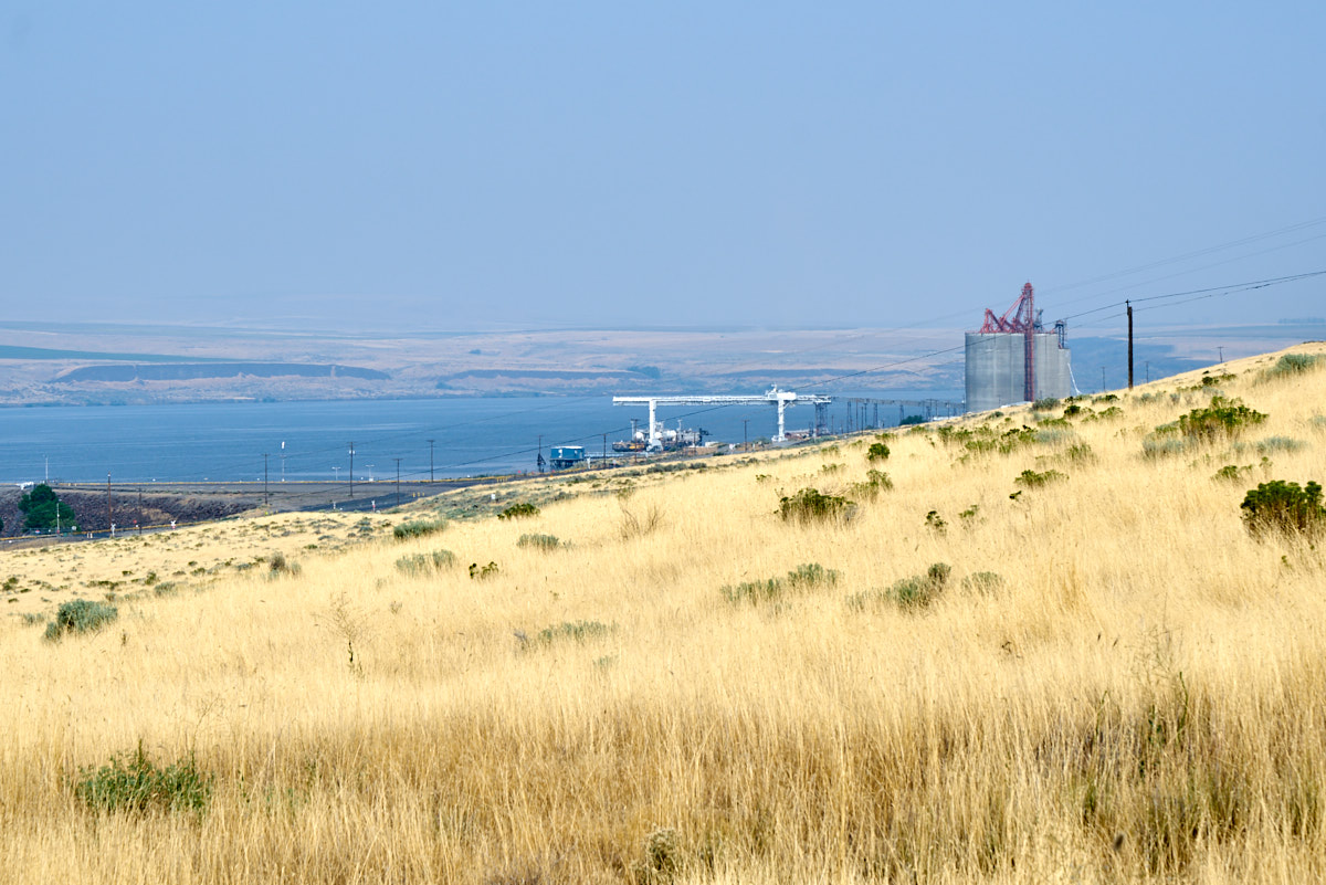
There is lots of infrastructure on the sides of the river.
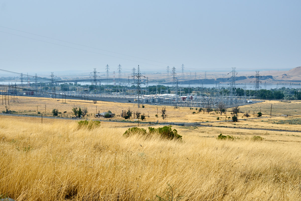
There was a large switch yard for the power produced by the dam.
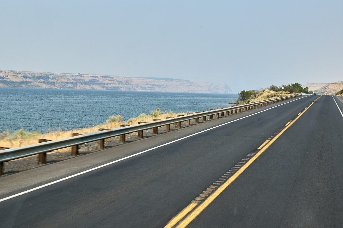
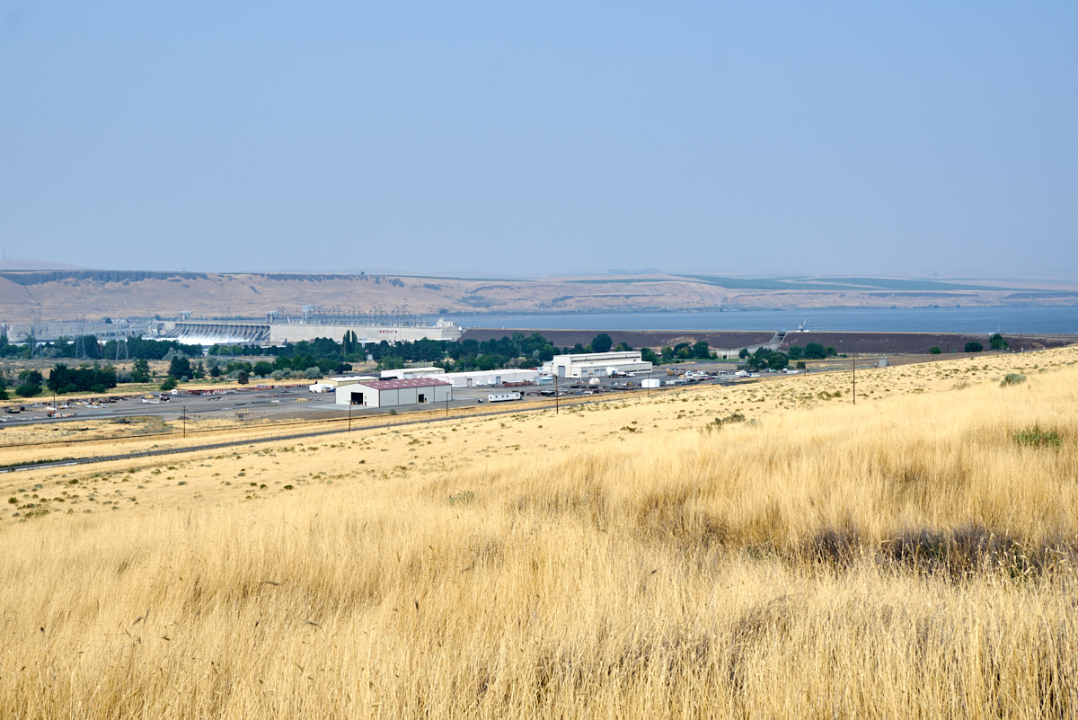
The road traveled right along the shore of the river.
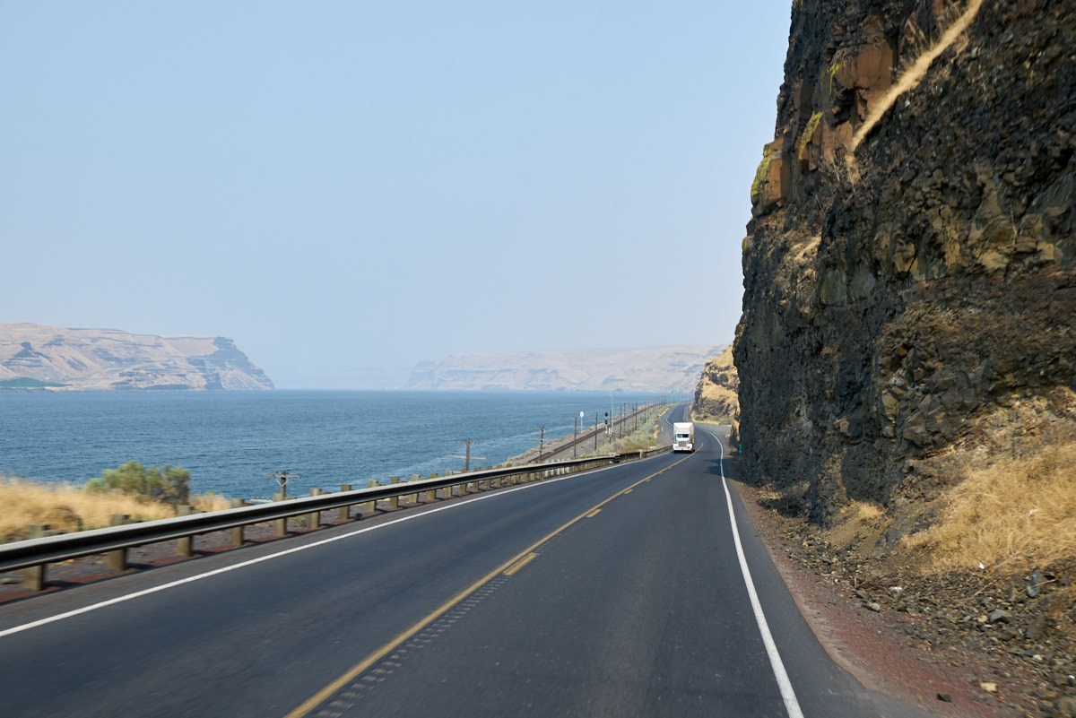
Both road and railroad paralleled the shores of the Columbia.
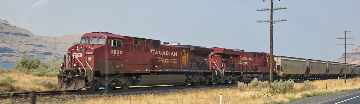
This is a "grain train" from Canada.  Note the "road colors" on the locomotives.

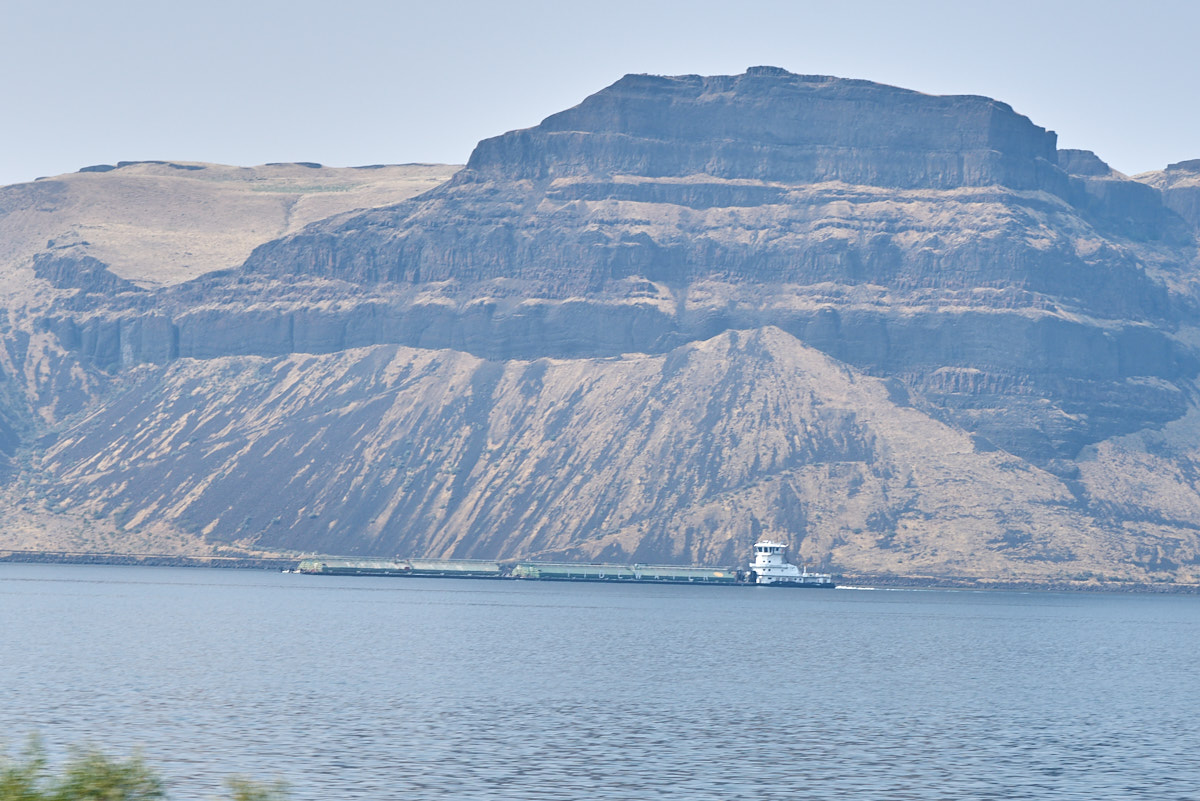
We passed a large tug escorting a set of barges down the river.
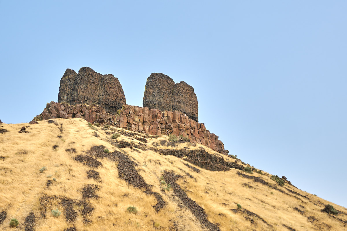
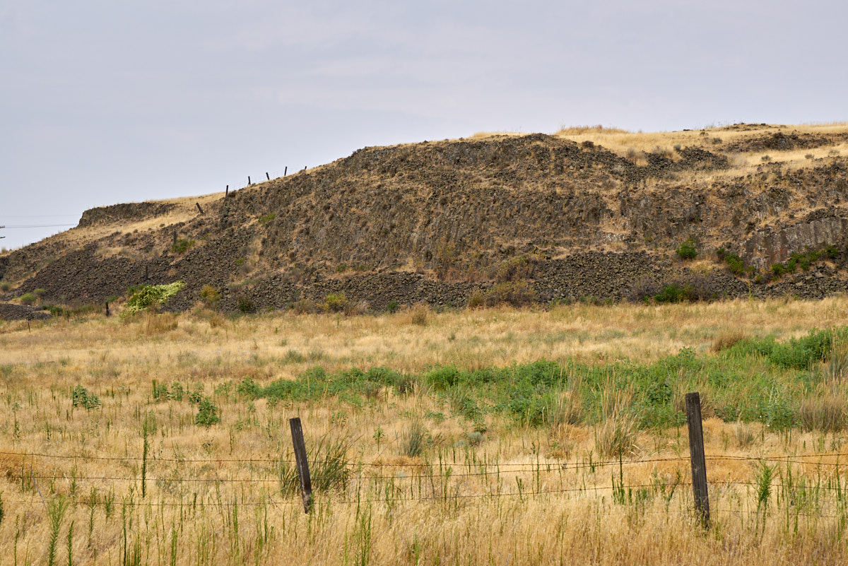
We passed these interesting basalt peaks close to the road.
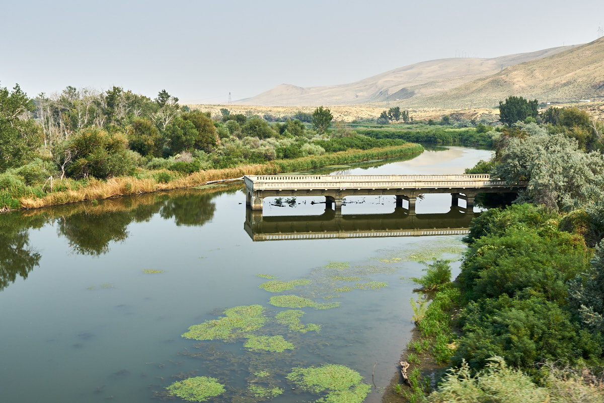
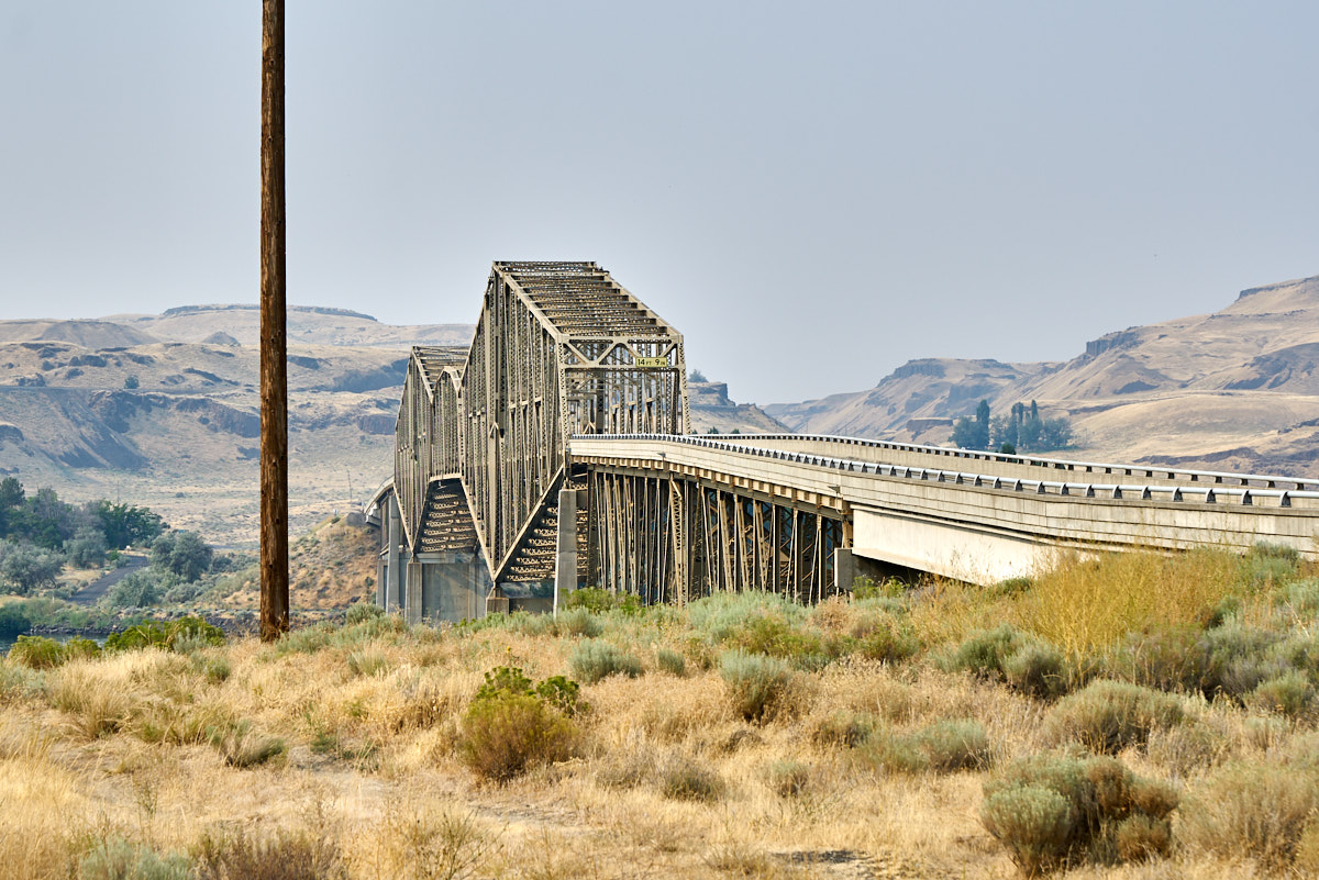
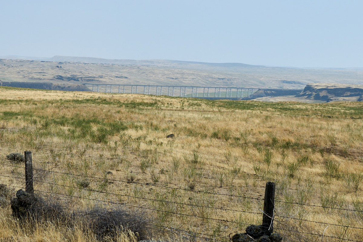
The bridge to nowhere.  The old roadway was abandoned.
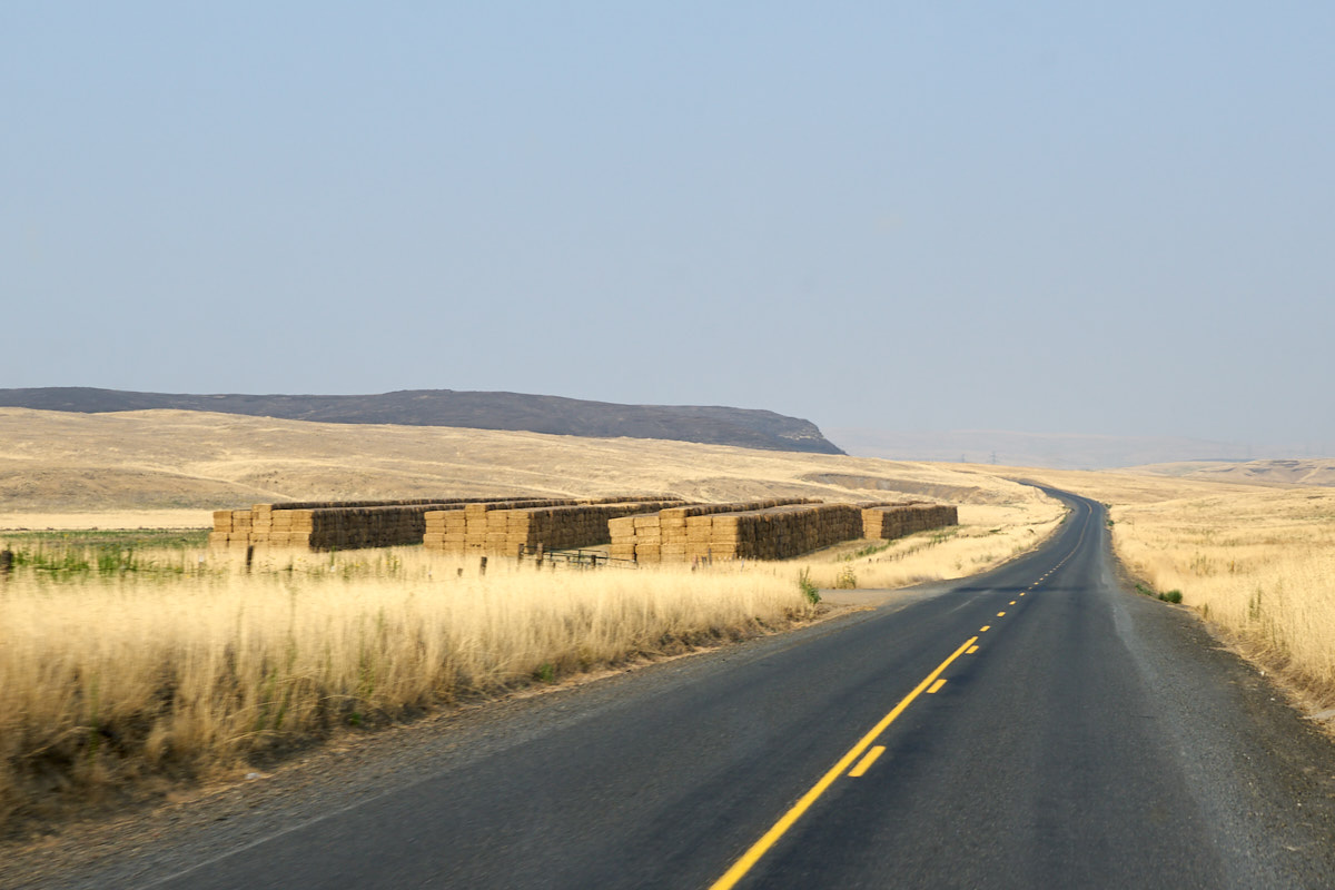
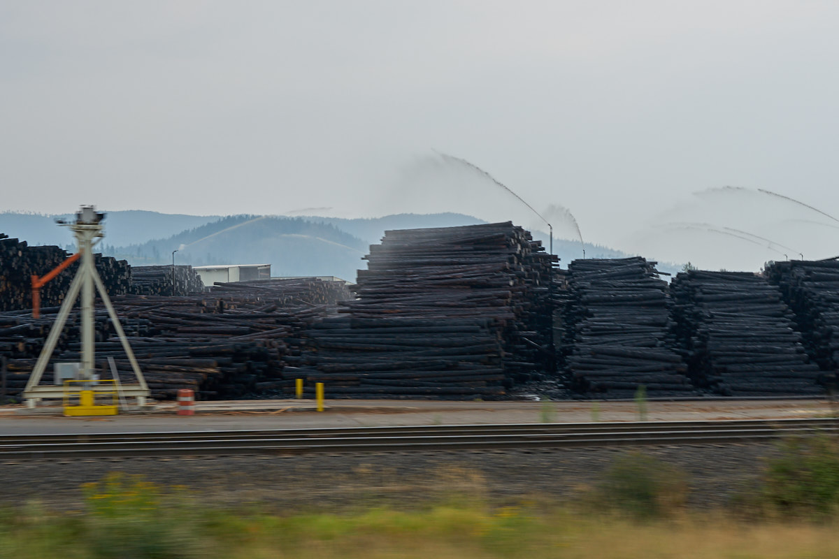
We passed large staging areas for huge bales of hay.
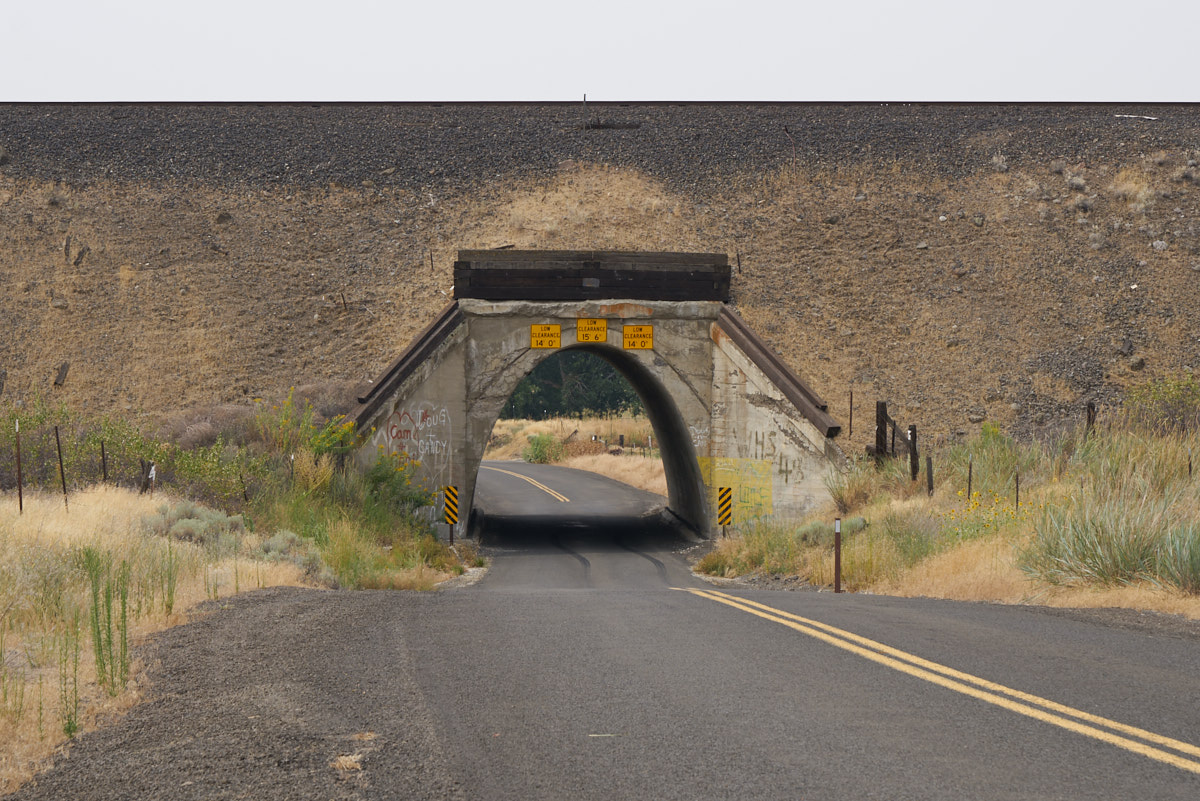
To get to Palouse Falls, we had to cross over the Snake River.  Above is the highway bridge.
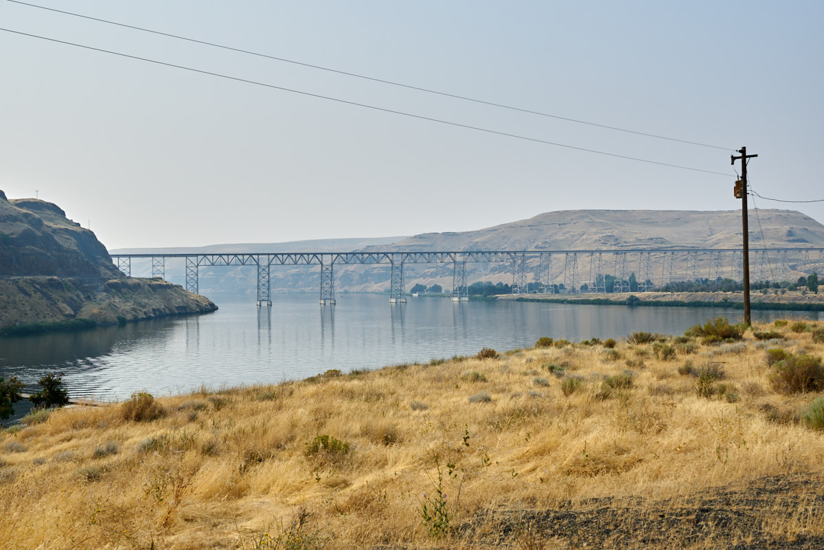
The railroad bridge over the Snake River.
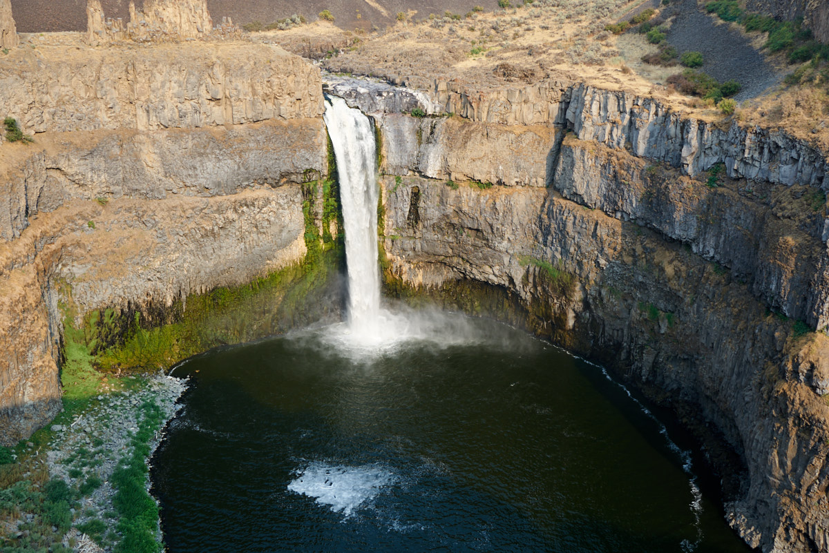
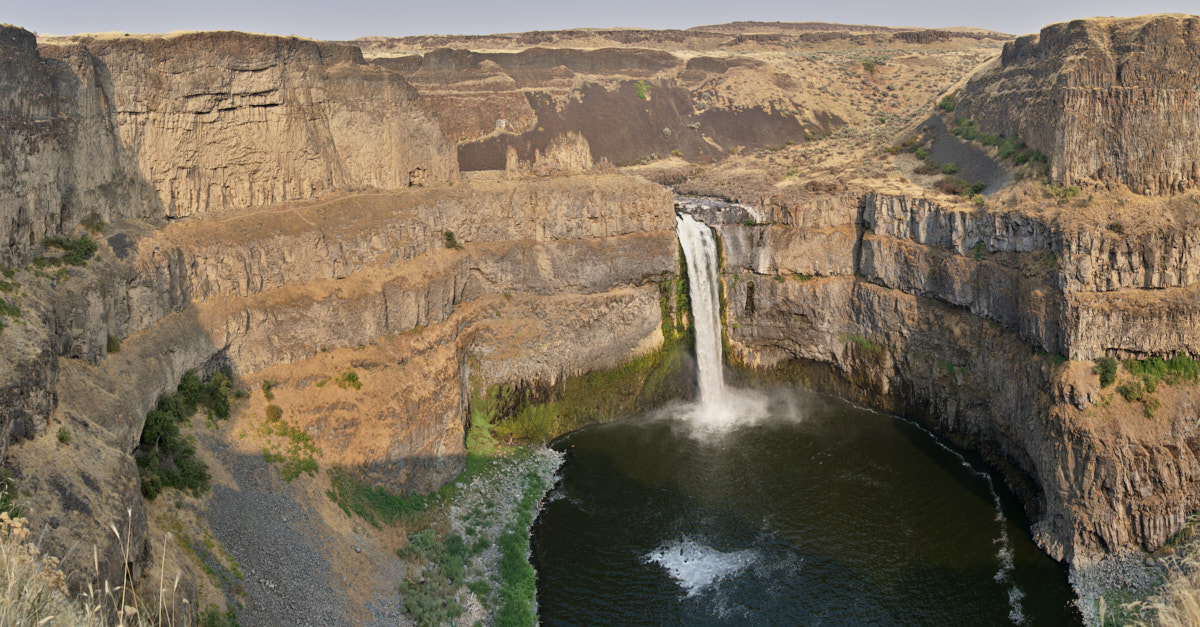
We finally arrived at Palouse Falls only to discover the area had changed their rules about camping.  No RV or in-vehicle camping.  So we spent some time checking out the views and then rolled on.  In the photo above, Palouse Creek has cut a huge swath through the Columbia River Basalt Flows to produce this alcove.


This is a 5-shot panorama stitched together from photos taken at 24mm.  The camera was turned on its side for maximum field of view.  This is a big, big canyon and even at 24mm it was too big to get in one shot, thus the stitched panorama.


We could not find an easy place to camp so Kathleen suggested a dirt county road and we just parked on the right of way.  We saw no other vehicles in the 12 hours we were there.


From the Palouse Falls area we headed north to Washtucna, WA.  Kathleen and I have a saying that "no trip is complete without seeing a Unimog".  So technically, this trip is complete.  This is a 406 (AKA U900) that was part of the local fire department.


The truck looked like it was in pretty good shape.


We were just driving by when we spotted the 406, so we pulled up for a comparison.  Size DOES matter.


The brush rig had a gas-powered pump on the rear.


Further north we passed another awesome railroad bridge that spanned a river canyon.


From large, spectacular bridges to the odd passage: this road had them all.


All of the canyon walls were basalt.


We passed a convoy of wheat harvesting equipment.


We passed a small dam on the Pend O'rielle river outside of Sandpoint, ID


We also passed a large logging operation.  They were keeping the timber wet to both prevent cracking/checking of the timber and keep the fire risk low.


We arrived in Clark Fork, ID and got to visit our buddy Norm.  Norm recently moved to Idaho from the Victorville, CA area and wishes he moved years ago..

Next up, a down day in Clark Fork and then we roll southeast to Victor, MT.

Navigation Links
Previous Adventure
Top of this Page
  Next Adventure
Trip Home Page  
Bill Caid's Home Page

Photos and Text Copyright Bill Caid 2017, all rights reserved.
For your enjoyment only, not for commercial use.