We
spent several days with Bob and Sandy at their ranch on South
Fork of the Shoshone River south of Cody, WY.
From Cody we headed east into the Big Horn Mountains and then
south along the spine of the range then east to the area south
of Douglas, WY.
The photos below are what we saw.
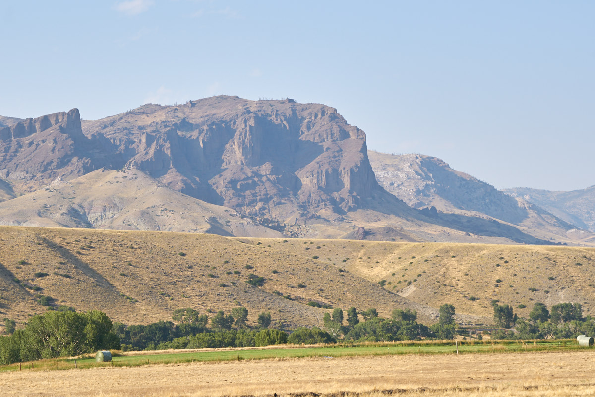
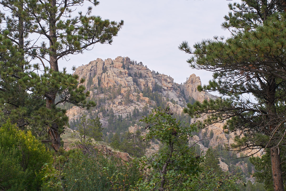
There
was lots of smoke from nearby fires. Above is one of the
points in the Absaroka Range.
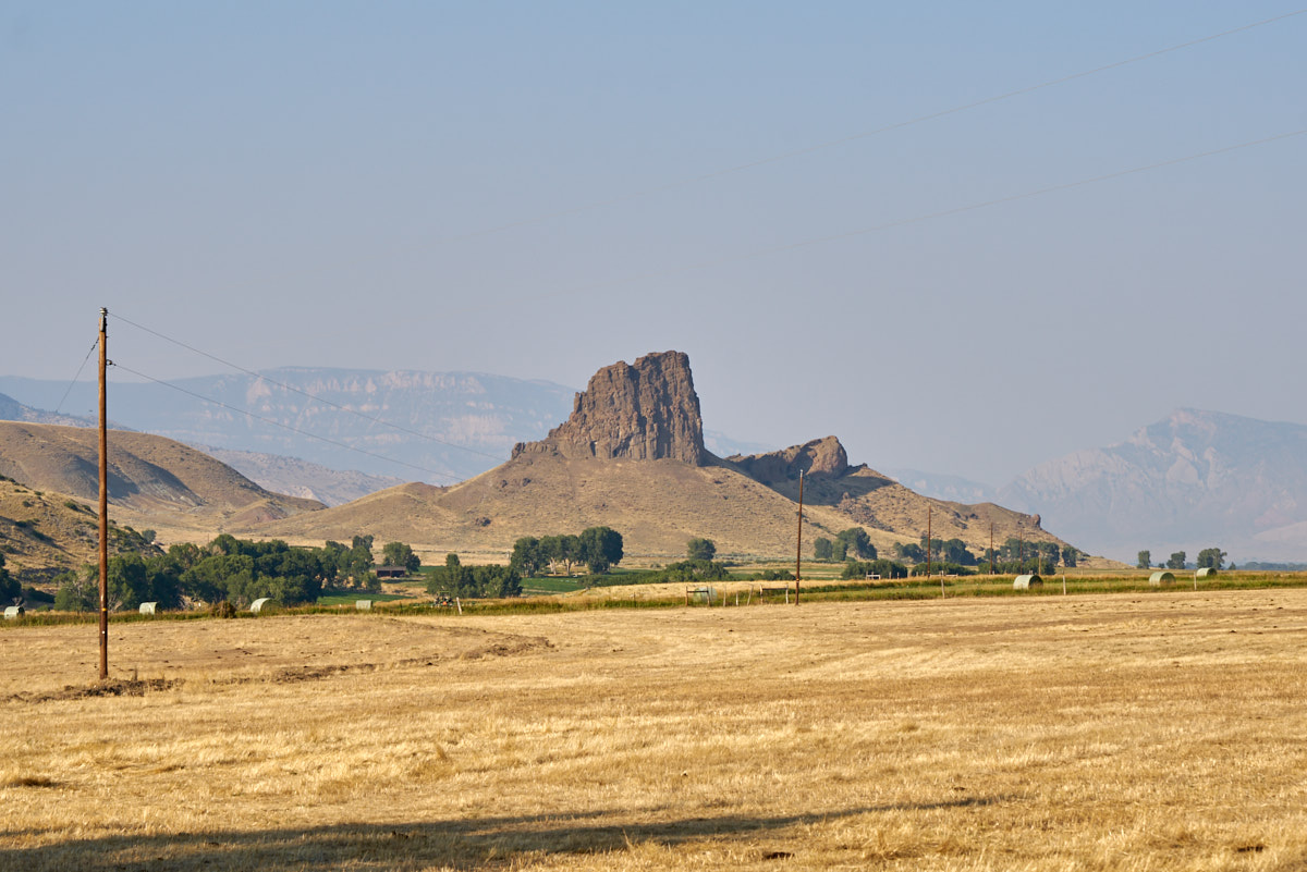
North of
the ranch is Castle Rock, a volcanic plug. Note the haze
and the far cliffs of the Absaroka Range.
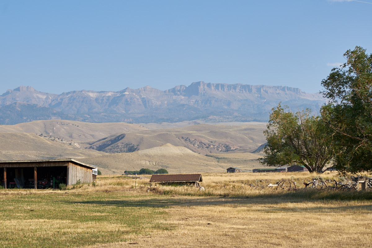
The
12,000 foot escarpments of Carter Mountain were also hazy.
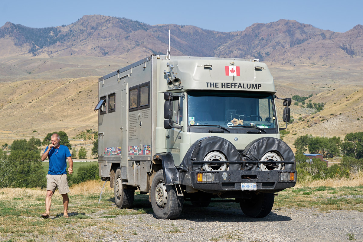
After
the first night at the ranch, our truck-buddies Joe and Stacey
from Ottawa joined us at the ranch. They were out in the
Yellowstone area and knew our location from our SPOT
transmitter.
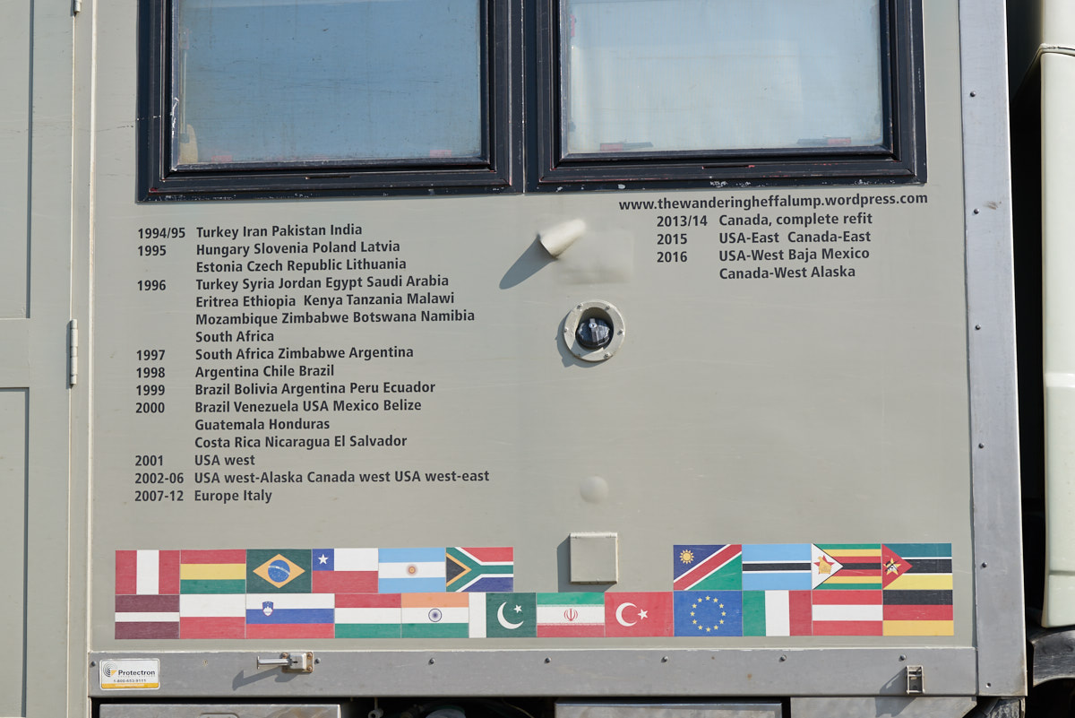
Their
rig, "Heffalump", has been around the world. Joe and
Stacey "own" the right column of events.
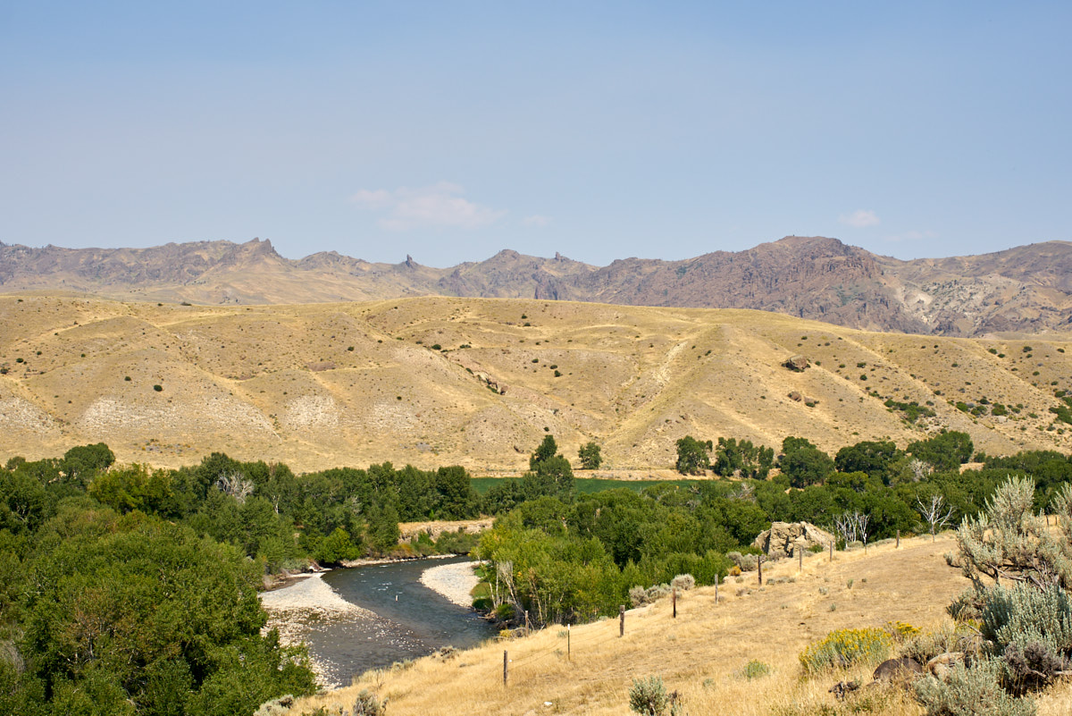
The view
from the ranch's driveway of the South Fork of the Shoshone
River.
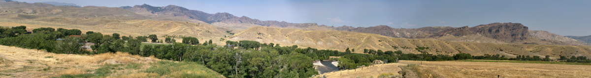
The view
of the South Fork and Absaroka Range is awe-inspiring.
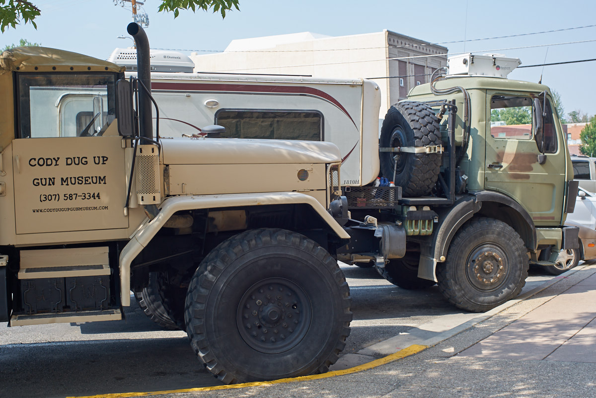
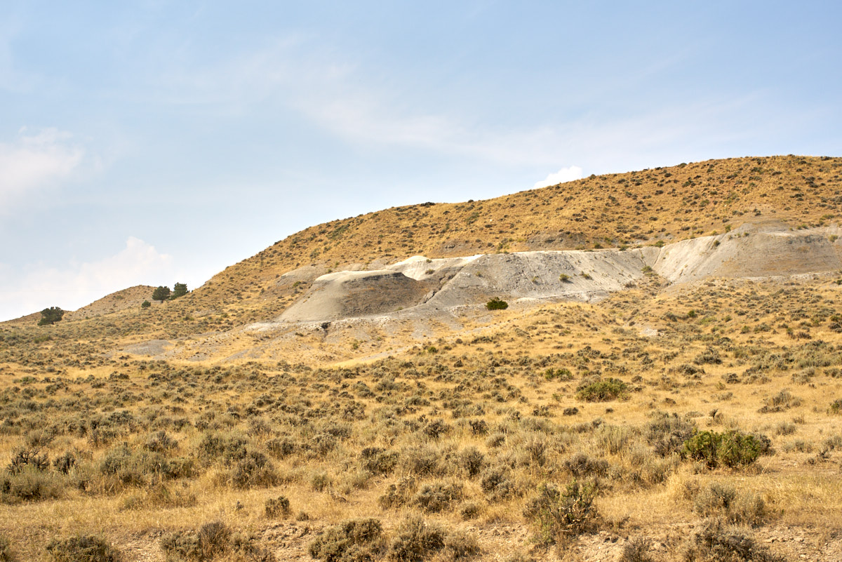
During
our exit from Cody we stopped to visit Bob's son in town and
came upon this bob-tailed 5-ton truck used as advertising by the
local gun museum.
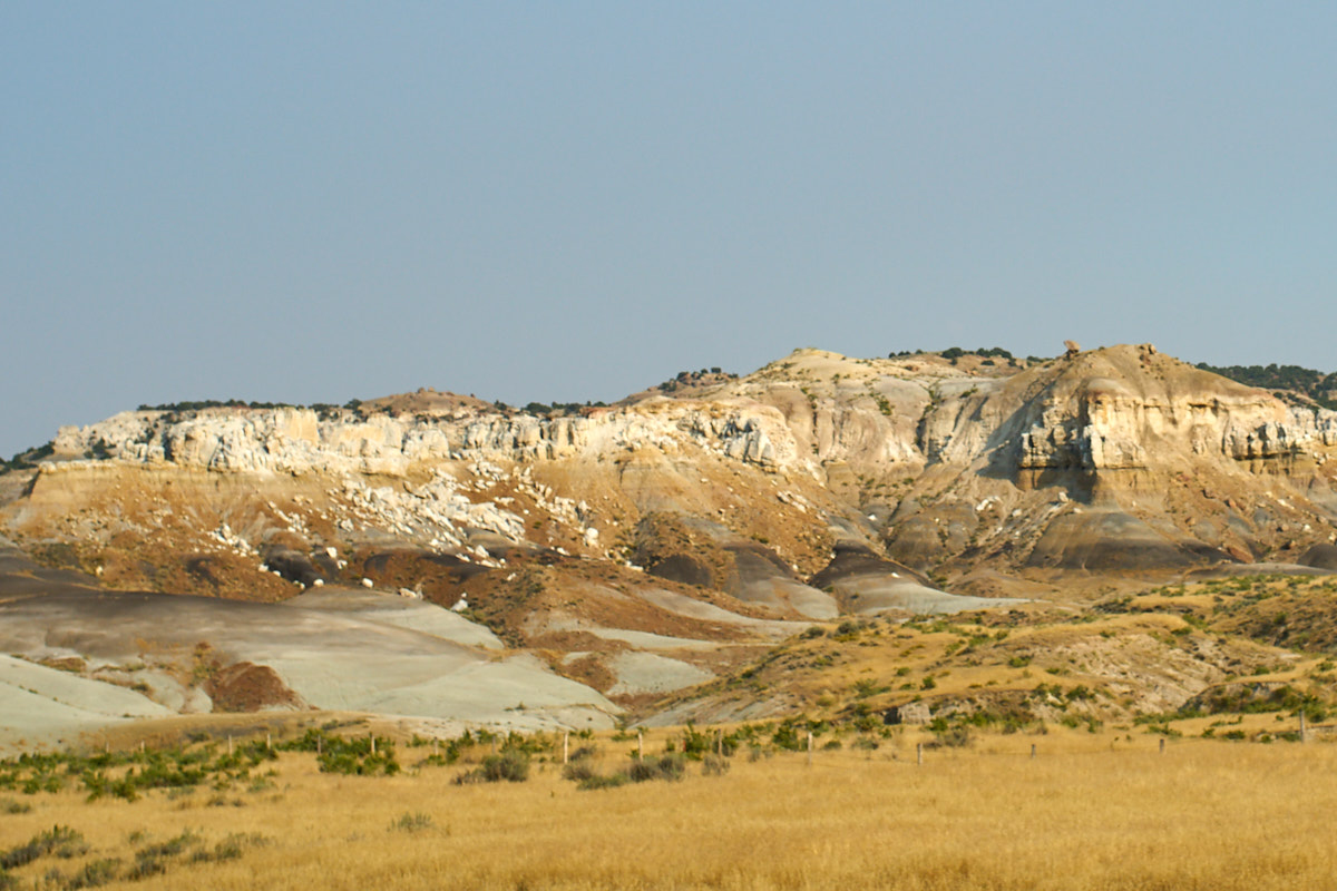
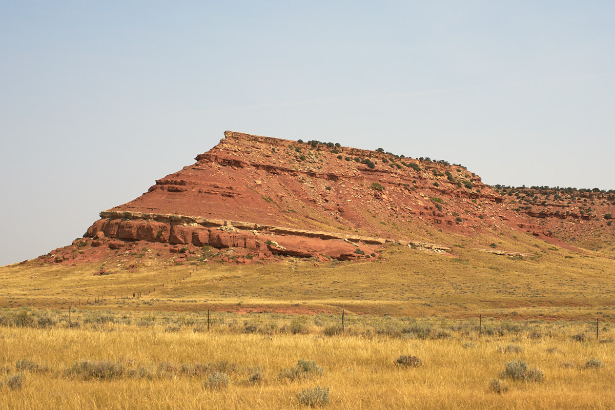
From the
Cody area we headed southeast through Ten Sleep. The
formation above is visible from the highway to the east of Ten
Sleep.
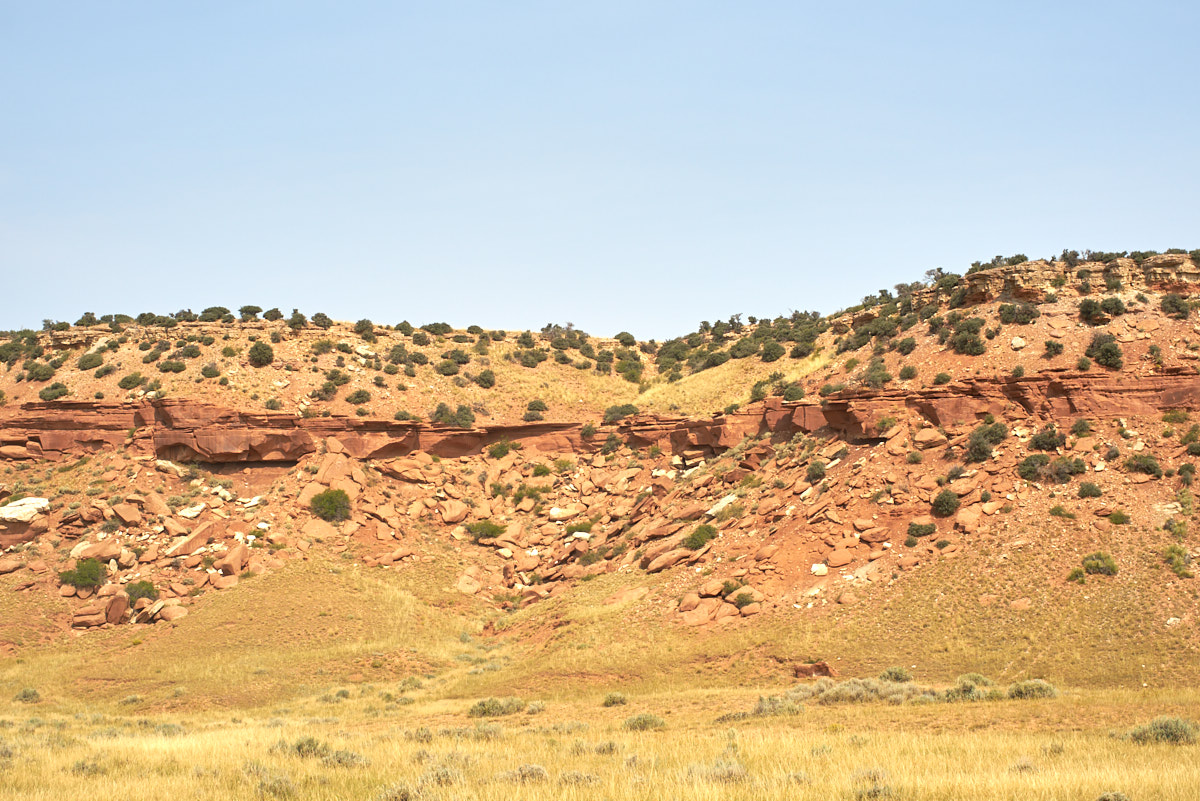
Closer
to the Big Horn Range, colored bands were visible in the
stratigraphic column.
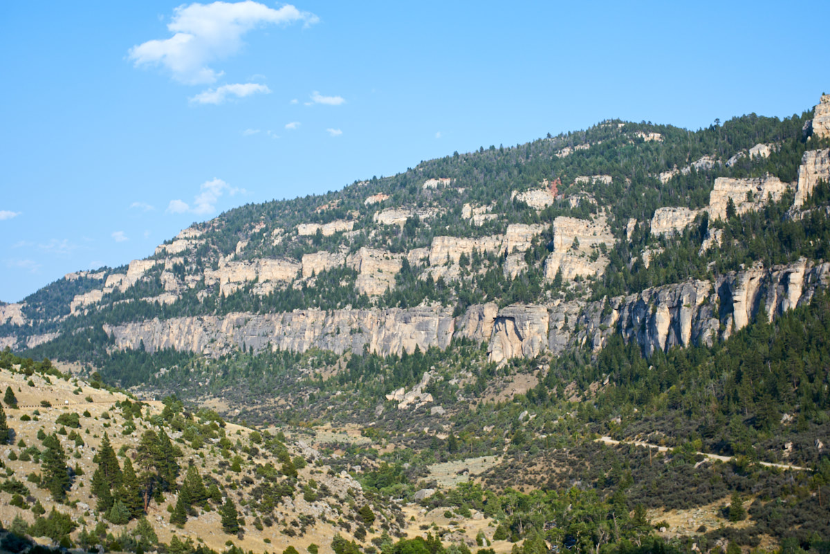
We
traveled up Ten Sleep Creek Canyon following huge vertical
canyon walls. Our objective for the night was Lake View
campground at the crest of the Big Horns. We were very
lucky to have found an open space given the lateness of the day.
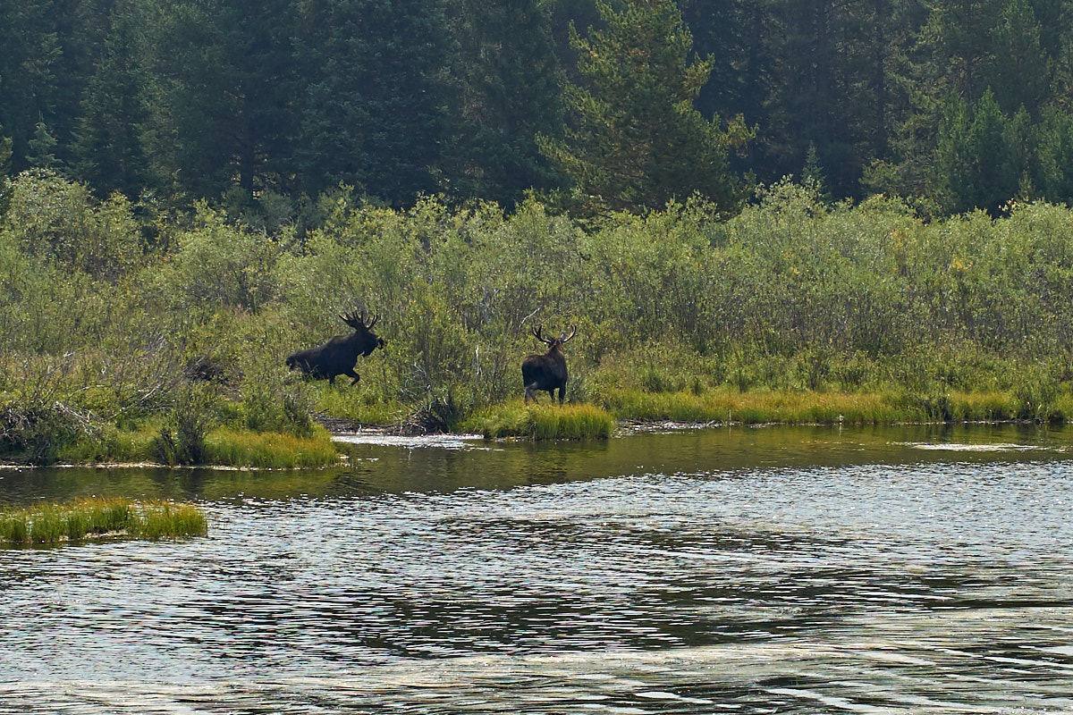
Lake
View Campground was one of the cleanest we had ever seen.
The camp host took his job seriously and it showed. We had
a quiet night watching videos. Next morning, we heard from
the host that some moose had been through camp earlier in the morning.
Not thinking much about it, we headed down to the lake to get a
few photos and the moose were still there. Apparently,
they checked out the campground for treats and then headed to
the water to feed.
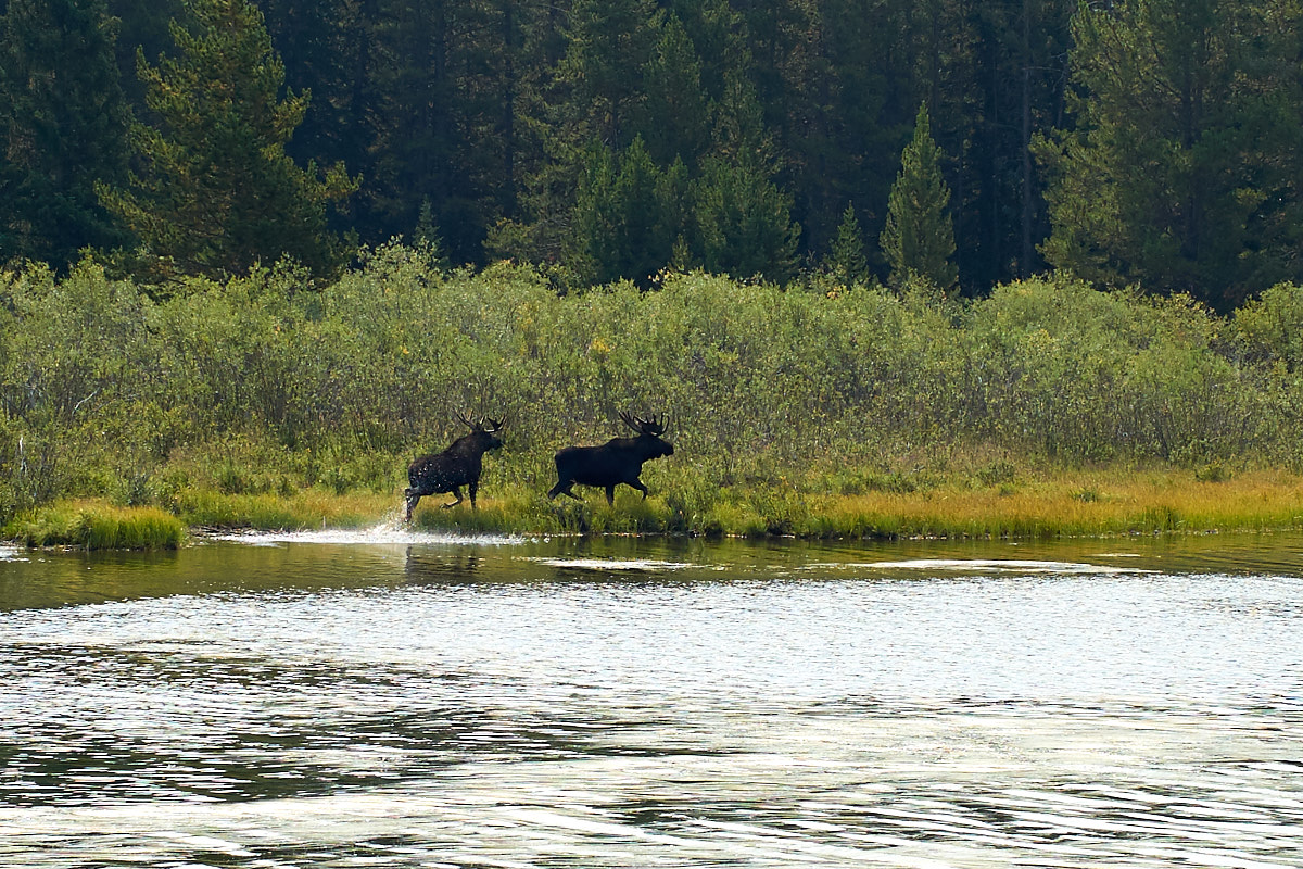
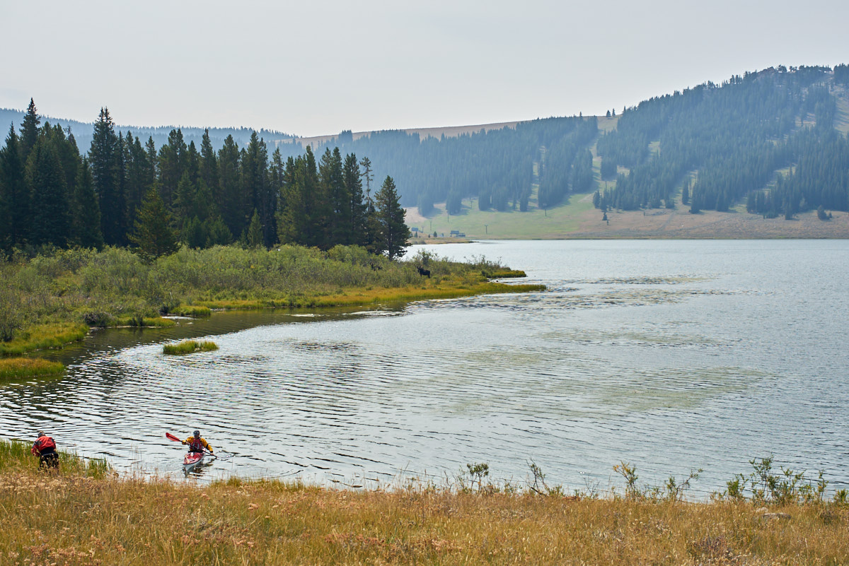
The
moose ran about 20 yards and then turned to see what was up.
Both moose and the kayakers are visible in the photo above.
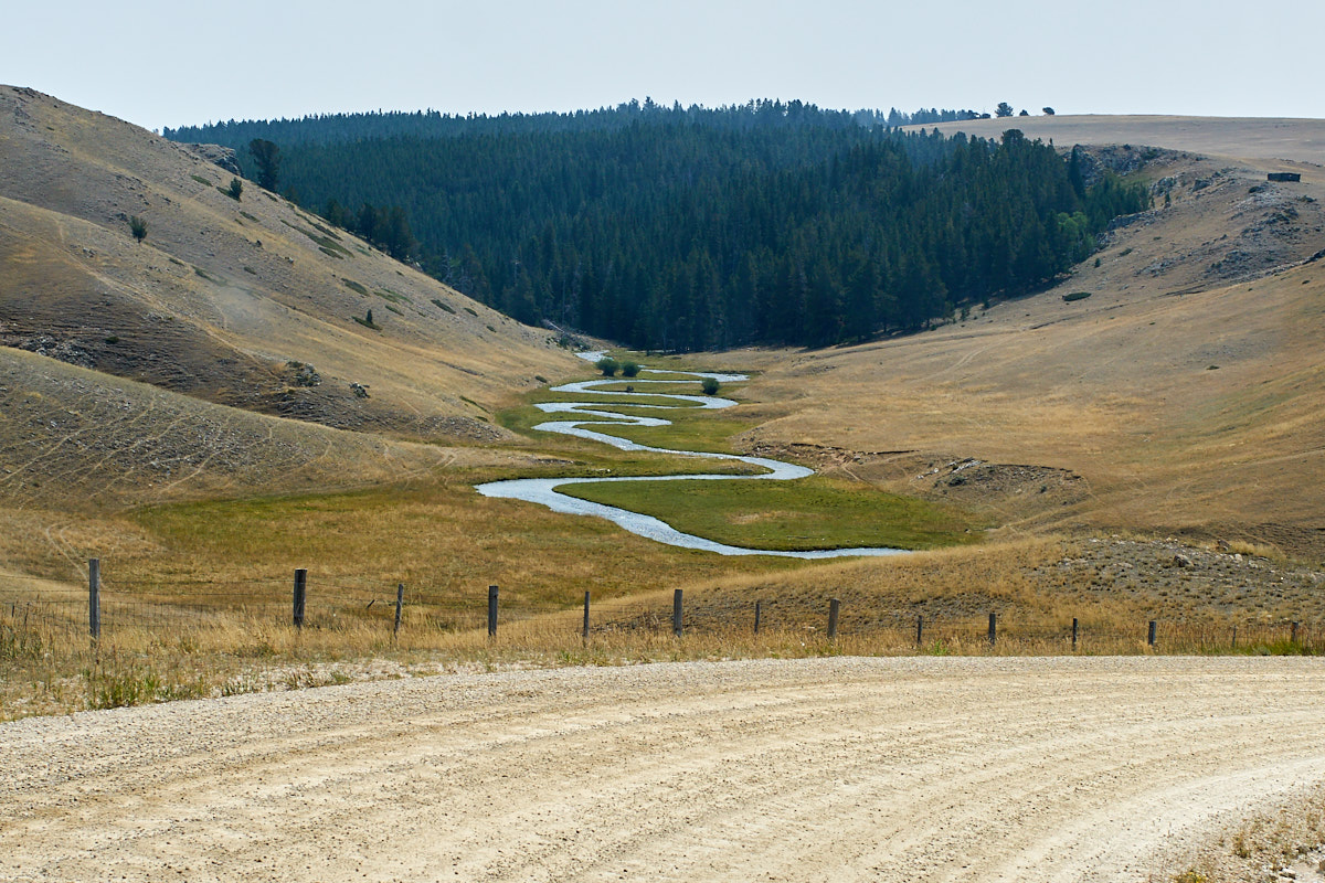
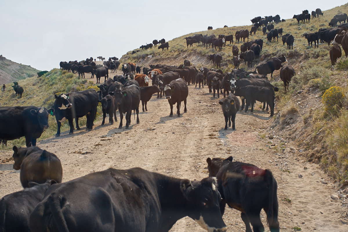
We
headed over the crest of the Big Horn Range then turned south on
a county road. Along the road we could see side streams
that had meandering oxbows that must provide good fishing for trout.
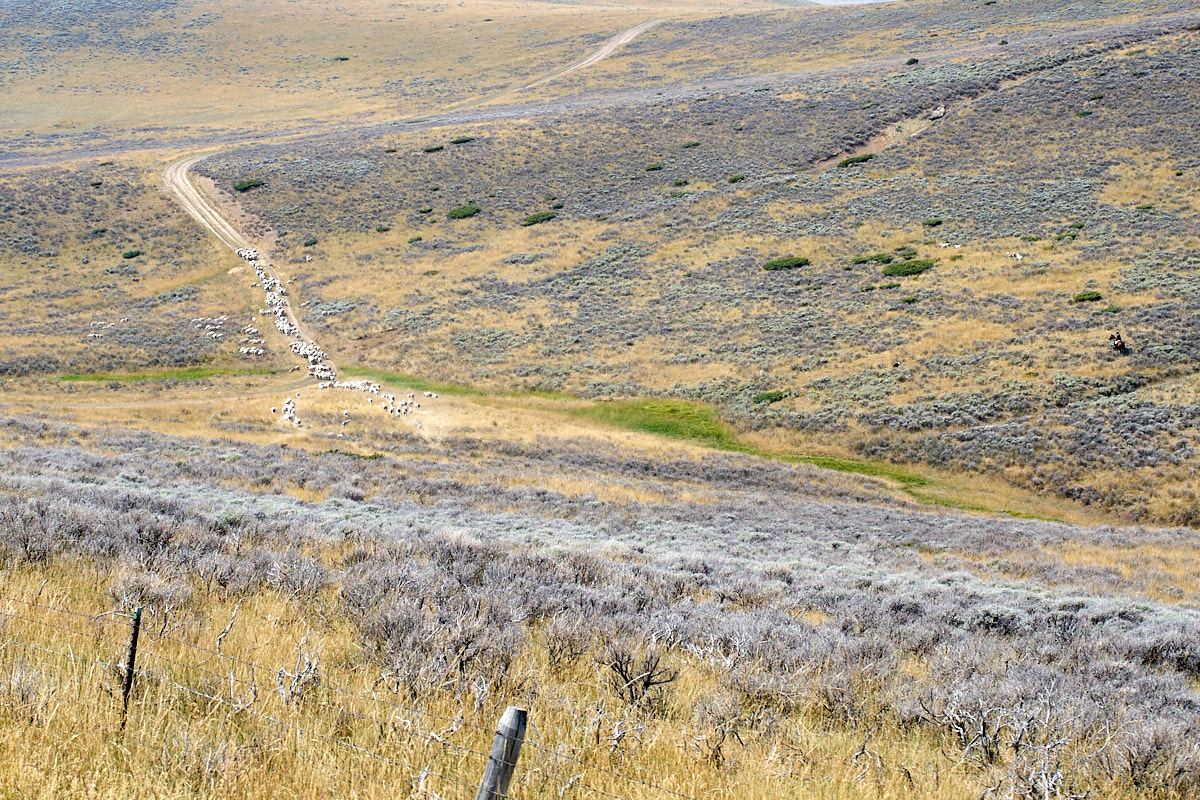
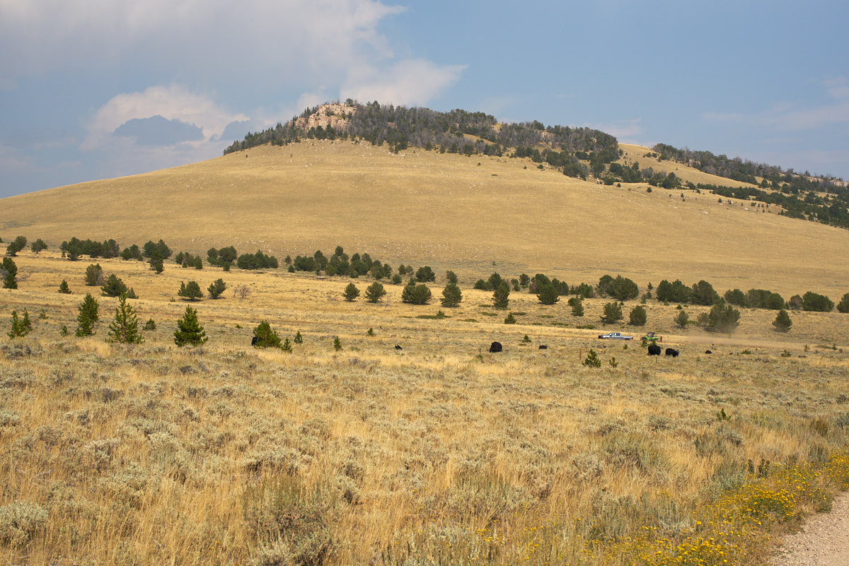
At about
8500 feet altitude we spotted big herds of sheep grazing on the
sagebrush and grass in the meadows.
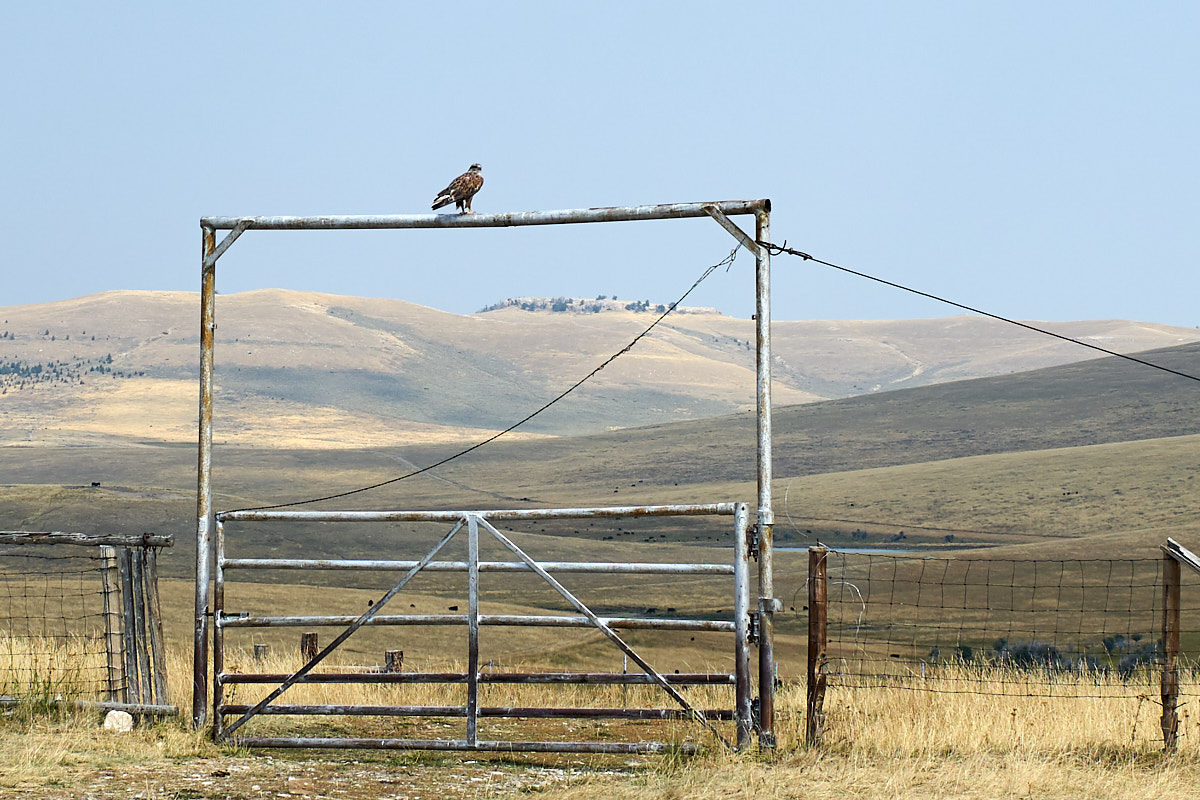
This
red-tailed hawk watched Thor drive by and continued to watch as
I stopped and backed up to get this photo. The droppings
on the pipe indicate this is HIS perch and he was not
intimidated by strangers.
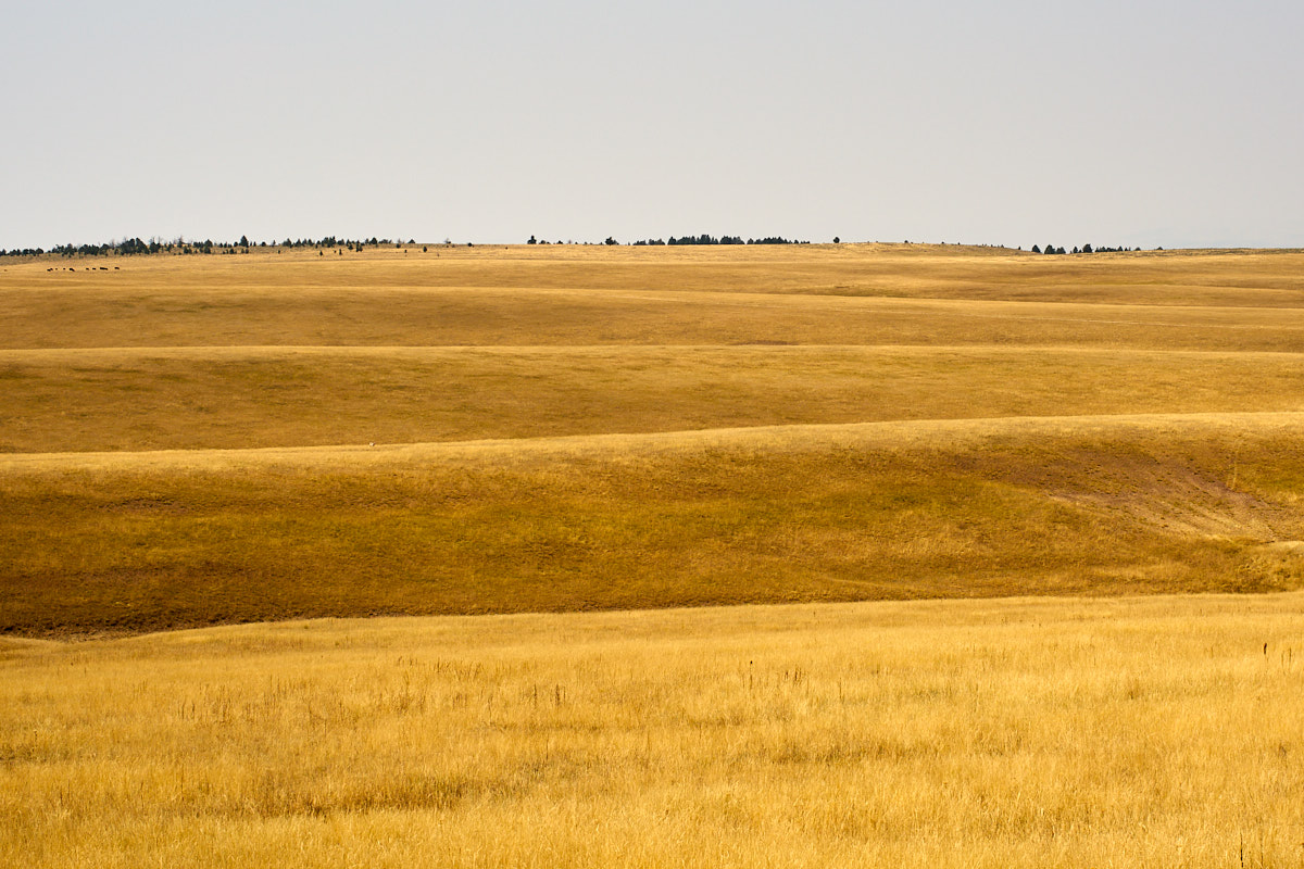
The
ridges had nice rolling hills with grass. While brown now,
I am sure it was quite a (muddy) sight in the spring.
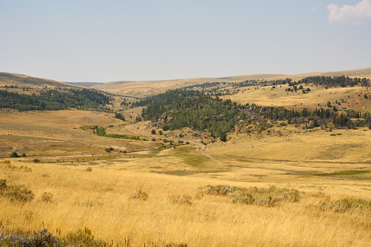
The
trail passed through a draw that carried Buffalo Creek.
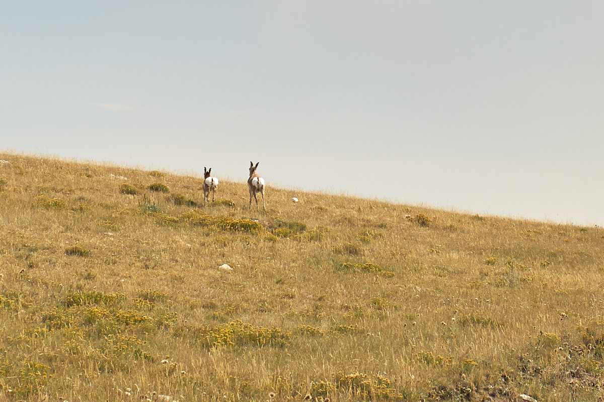
We
surprised a couple of antelopes grazing by the side of the
road. As they bolted, I grabbed the camera and shot
without aiming, more of a "point and pray" thing. With
some rotation and cropping I got a clear view of their white "pillow
butts" sprinting away from Thor.
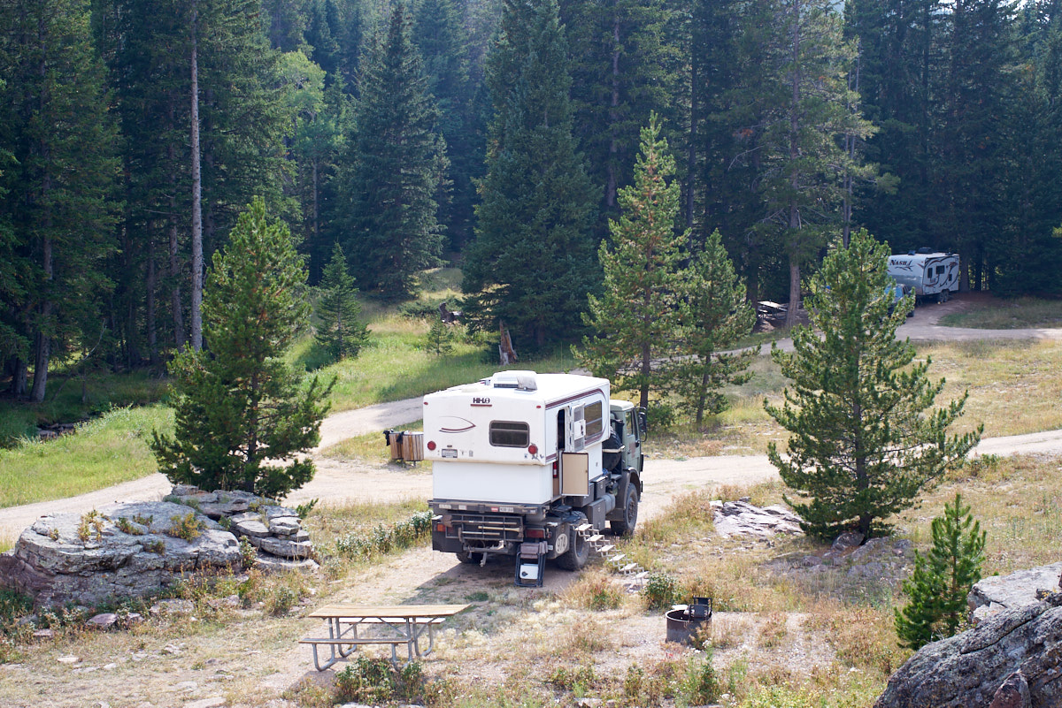
We found
a campground that was close to the trail and while there was
another rig there, it was a free camp.
From the
rocks overlooking Thor I could see a vehicle hauling a quad on a
trailer as well as the white-rock cliffs in the distance.
Thunderheads were brewing in the distance and we sat outside
listening to the thunder rumble.
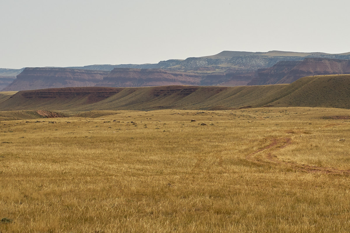
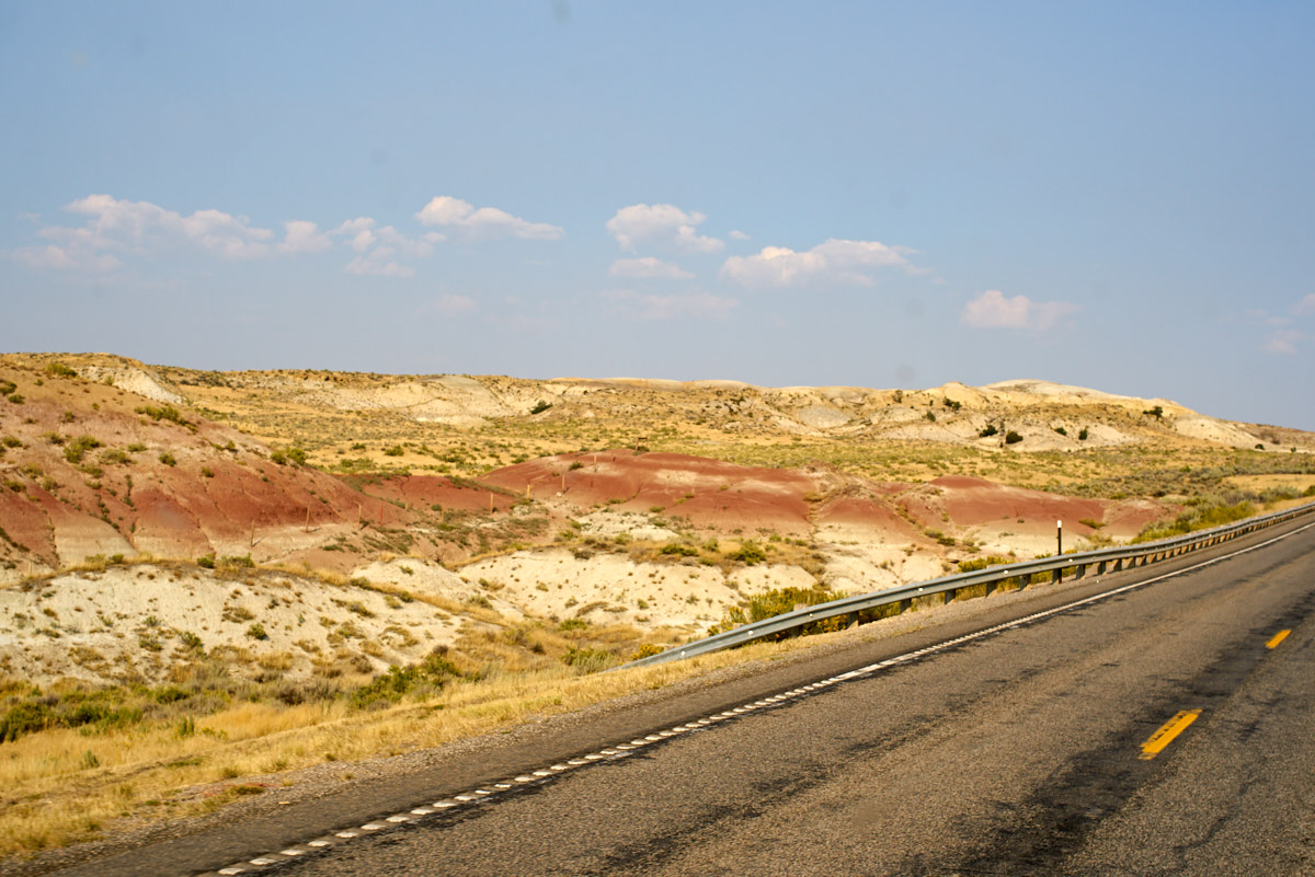
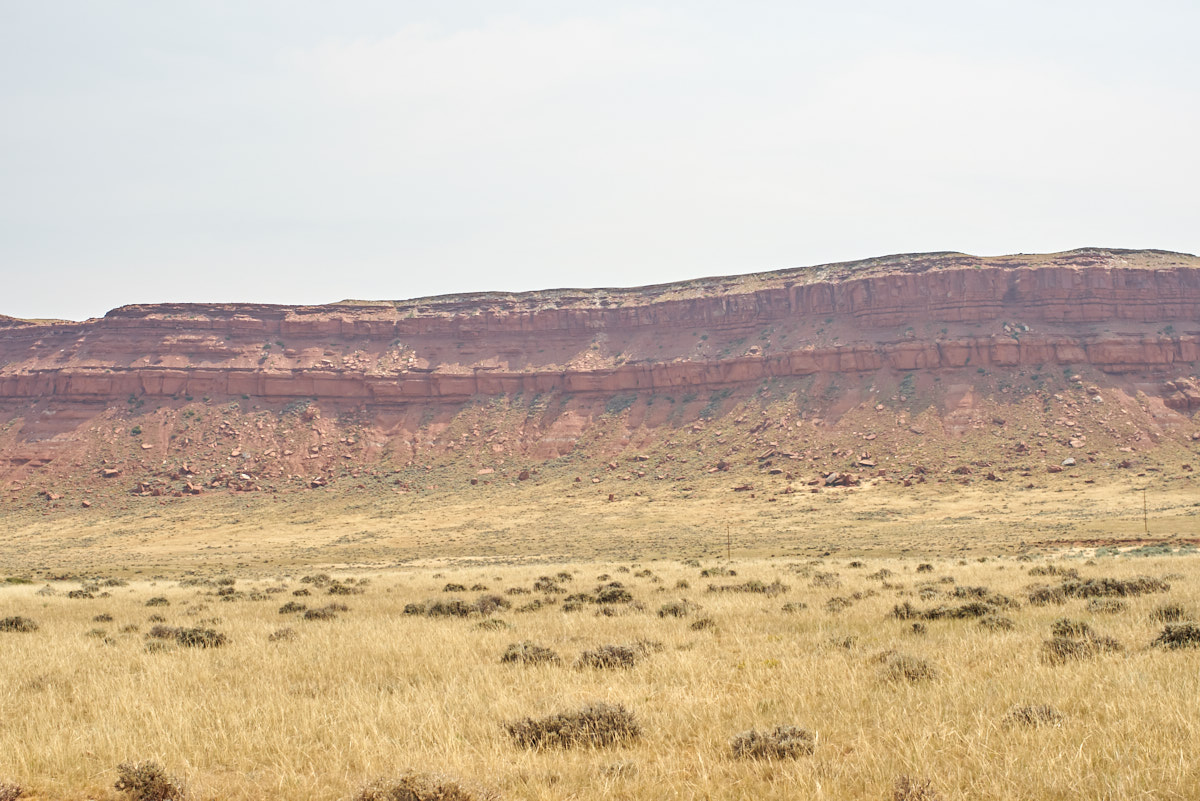
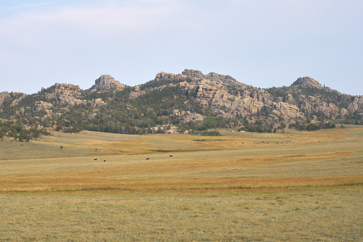
Further south we
came to the "redwall" which is a set of red sandstone cliffs
above the grassy plains.
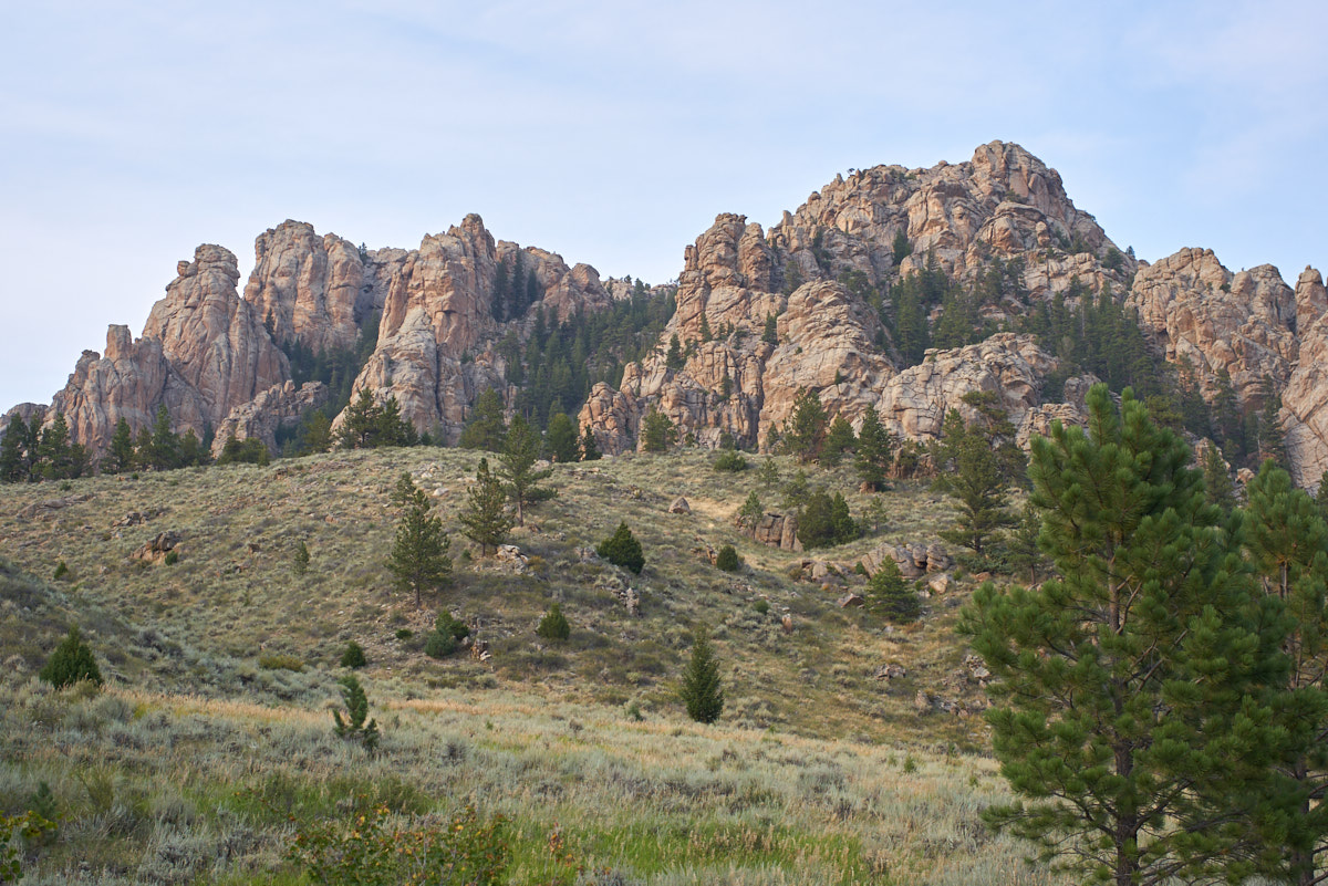
We located a Forest
Service camp site on our route, albeit a few miles down a side
canyon. As we traversed the canyon, the outcroppings
became bigger.
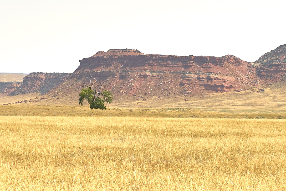
A view of more
outcroppings from our campsite. We found the entire
place deserted, so we made best use of the situation.
| Previous Adventure | ||
| Trip Home Page |
Photos and Text Copyright Bill Caid 2017, all rights
reserved.
For your enjoyment only, not for commercial use.