The
photos below are what we saw.
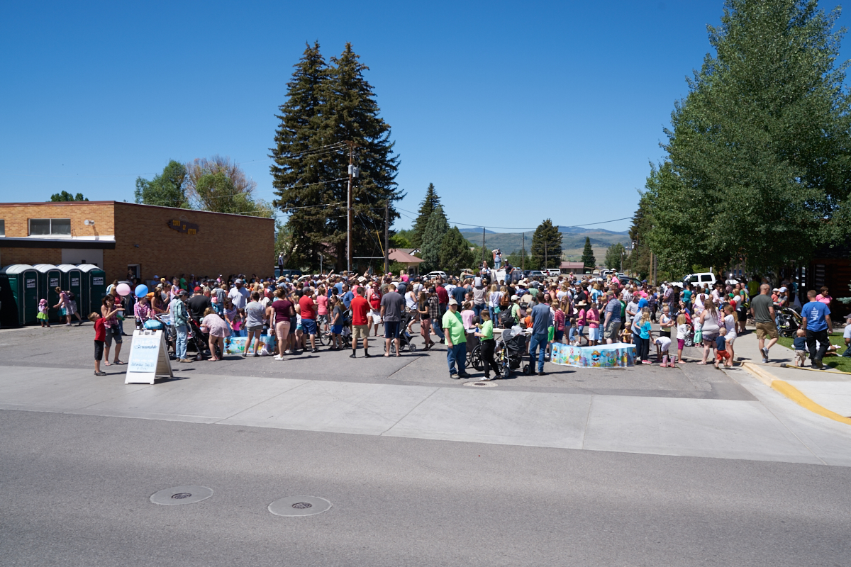
Our path
took us south through Afton, WY again. We were surprised
to find a large street fair in progress. Turns out that we
stumbled upon a "Pioneer Day" celebration which is a
Mormon-inspired holiday that celebrates the migration to the
west by the Mormons. Above, some kind of contest was being
held.
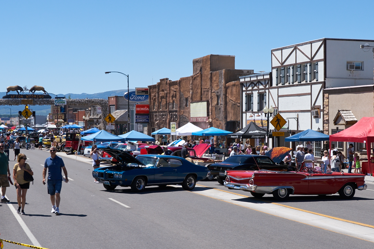
The main
street in Afton was blocked off and there were antique cars
displayed. Note the antler arch at the top left of the
photo above.
We went
south to Logan, UT and briefly met with our friends Jud and
Sadie. Sadie had just gotten back from 10 days in Africa
on a mission, so our meeting was brief. We continued south
but due to Pioneer Day, we were unable to find a campsite
anywhere or an open space at an RV park, so we settled for a
truck stop parking lot and holed up for the night. The
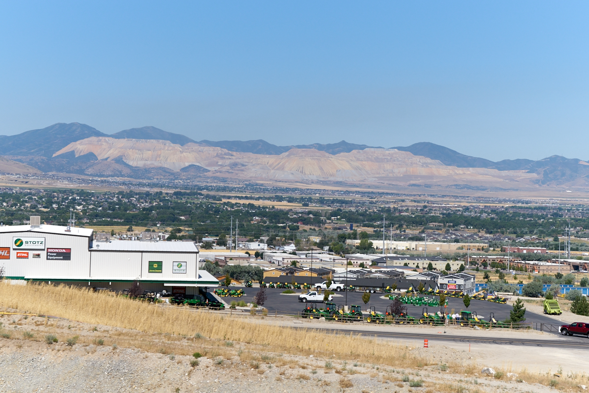
next day, we continued south along the Wasatch Range.
Above is a photo of the large copper mine near Sandy, UT.
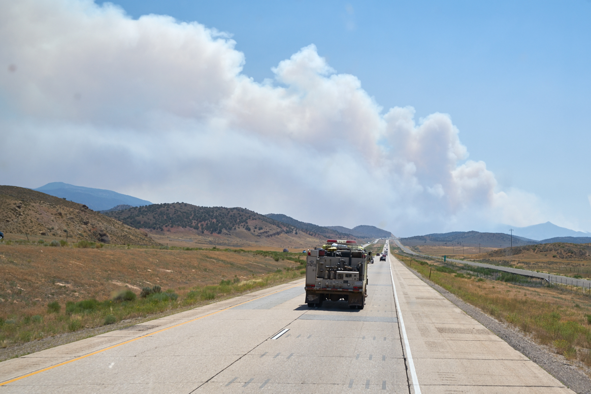
Further
south near Cedar City, we came upon the source of the bad air
quality: a substantial fire. A BLM fire rig passed us and
is in the center of the photo above.
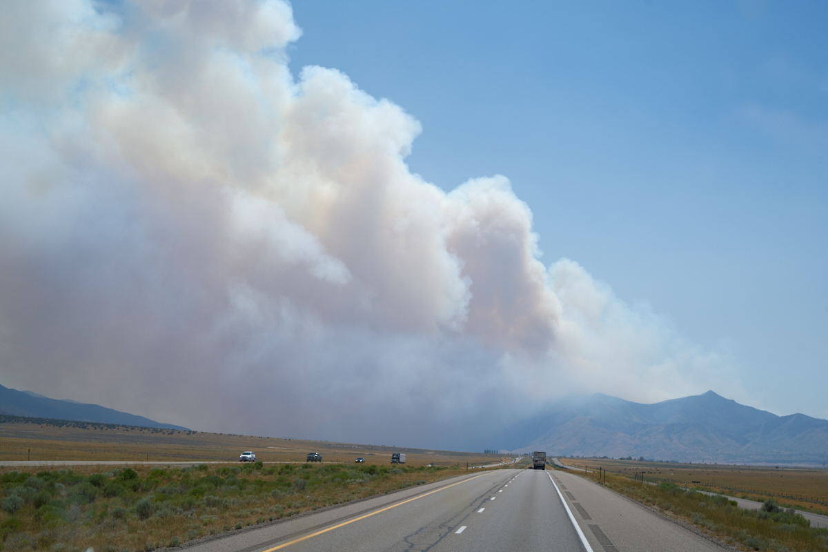
The fire
was generating huge quantities of smoke, but was not blocking
our progress south.

I am
guessing that every do-gooder passing south was calling 911 so
they put up this message to prevent more calls.
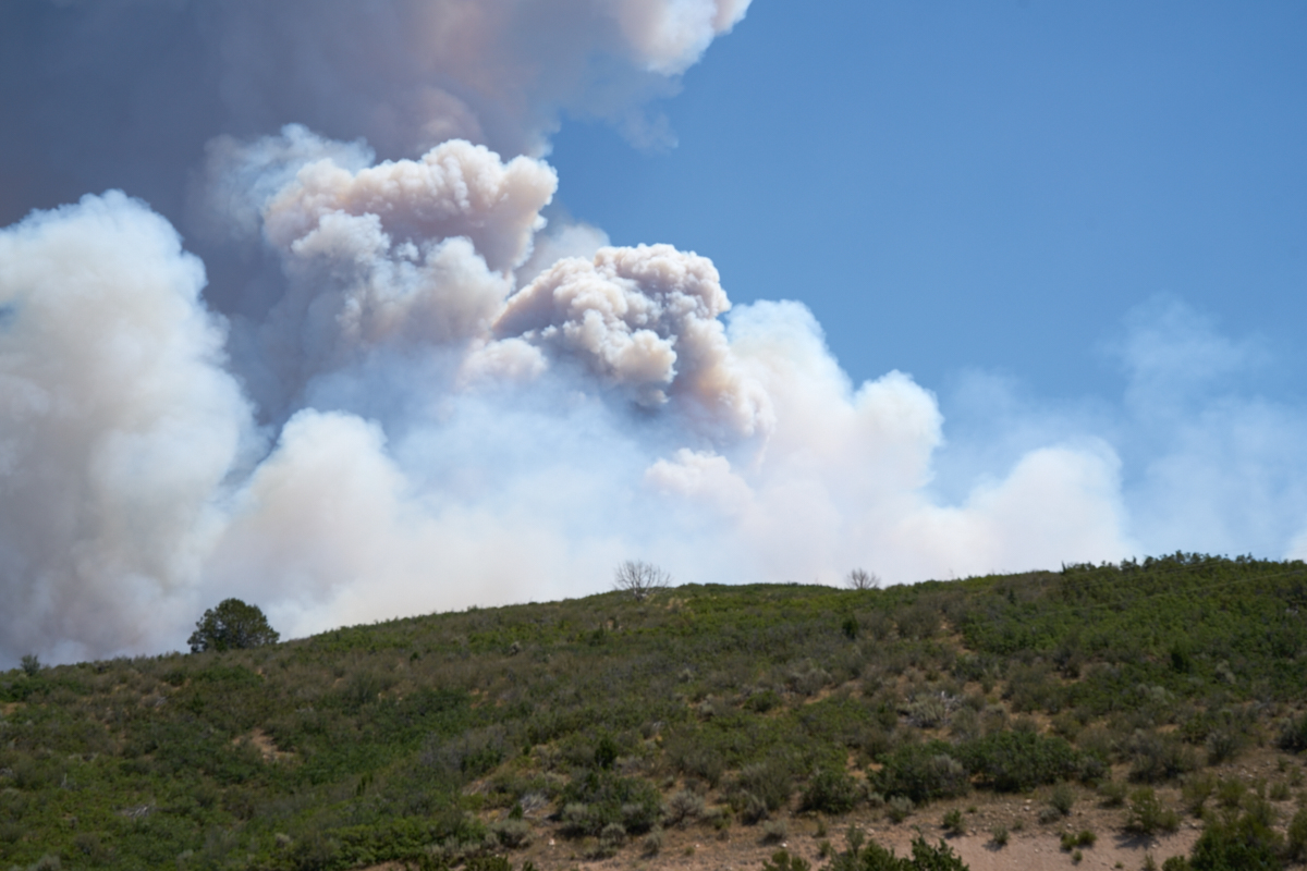
When we
reached our closest point to the fire, the smoke could be seen
roiling above the hills.
We spent
the night in a low-budget RV park near Kanarraville, UT.
Due to Pioneer Day weekend, we got the last site available and
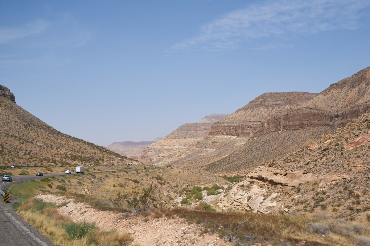
were happy for it. Next morning, we rolled past St. George
and then into the Virgin River Canyon. The highway goes
through the canyon because it is the only reasonable path
through the Beaver Dam Mountains.
The
small Virgin river has carved a huge canyon through the
sandstone strata.
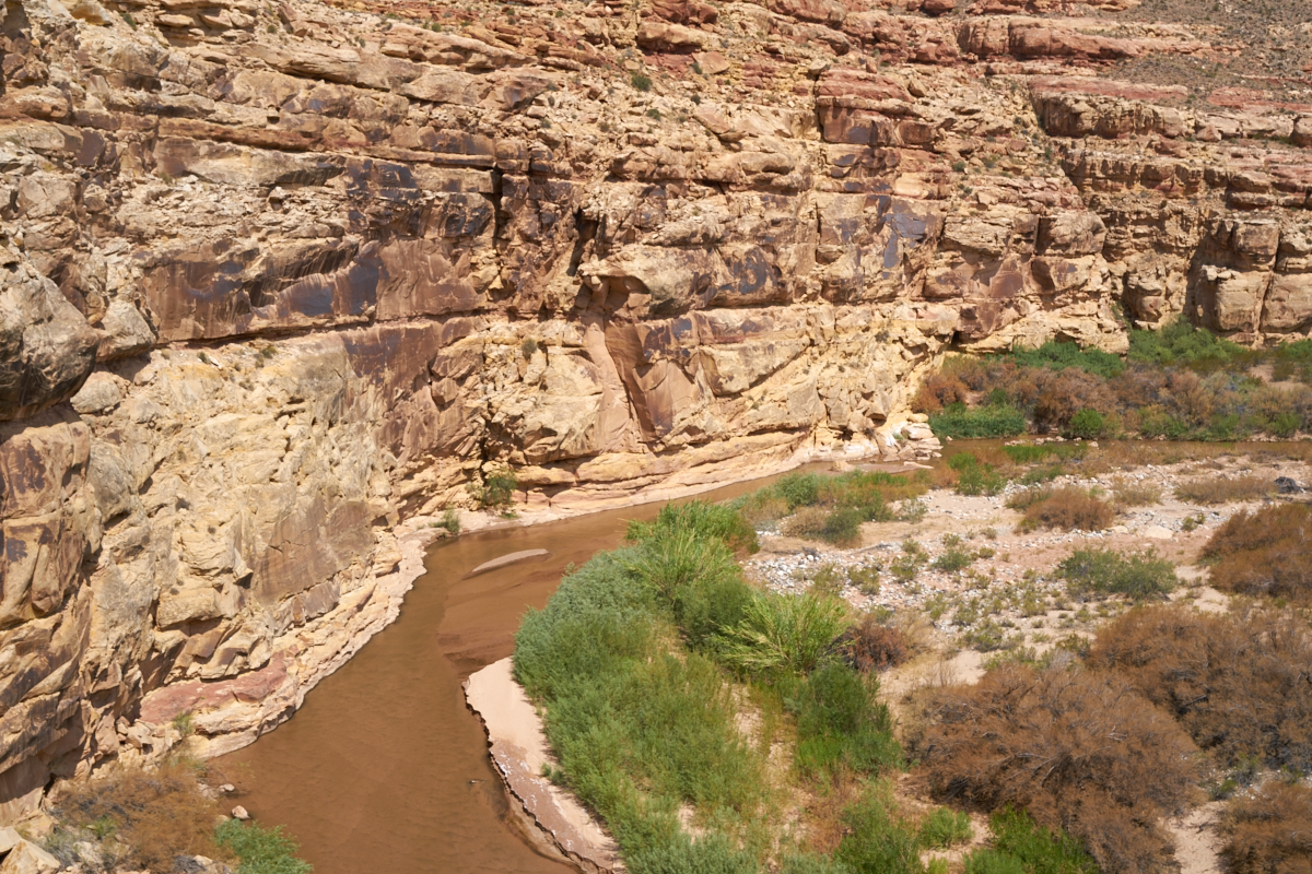
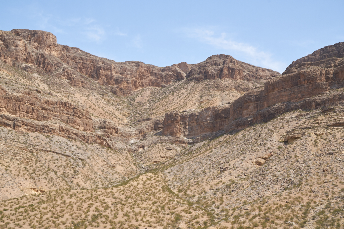
Given
the heat and the scant rainfall, I was surprised that there was
any water in the river at all.
Amazing
to consider that just a small creek could carve these huge
canyons.
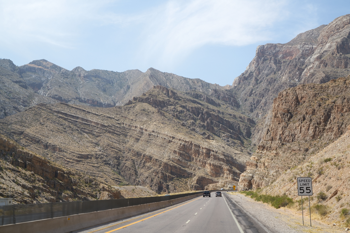
The
grade on the road was steep coming down from the St. George
plateau to Mesquite, NV. Note the tilted strata resulting
from the tectonic uplifting.
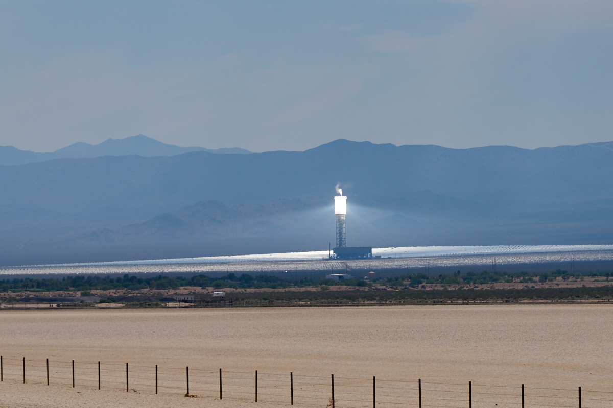
Man, it
was hot. It was over 115 degrees when we stopped for a
soda and fuel. As we left Stateline, NV, we got a view of
something even hotter: the Ivanpah Solar Plant. This plant
uses huge expanses of tracking mirrors to reflect sunlight onto
the collector tower. There are 3 towers, this one was
venting steam.
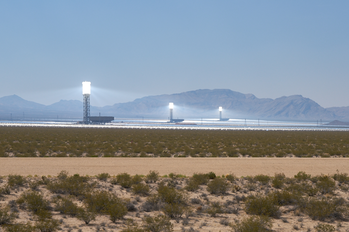
All
there towers were in operation. The smoke from the (many)
fires allowed the solar beams to become visible.
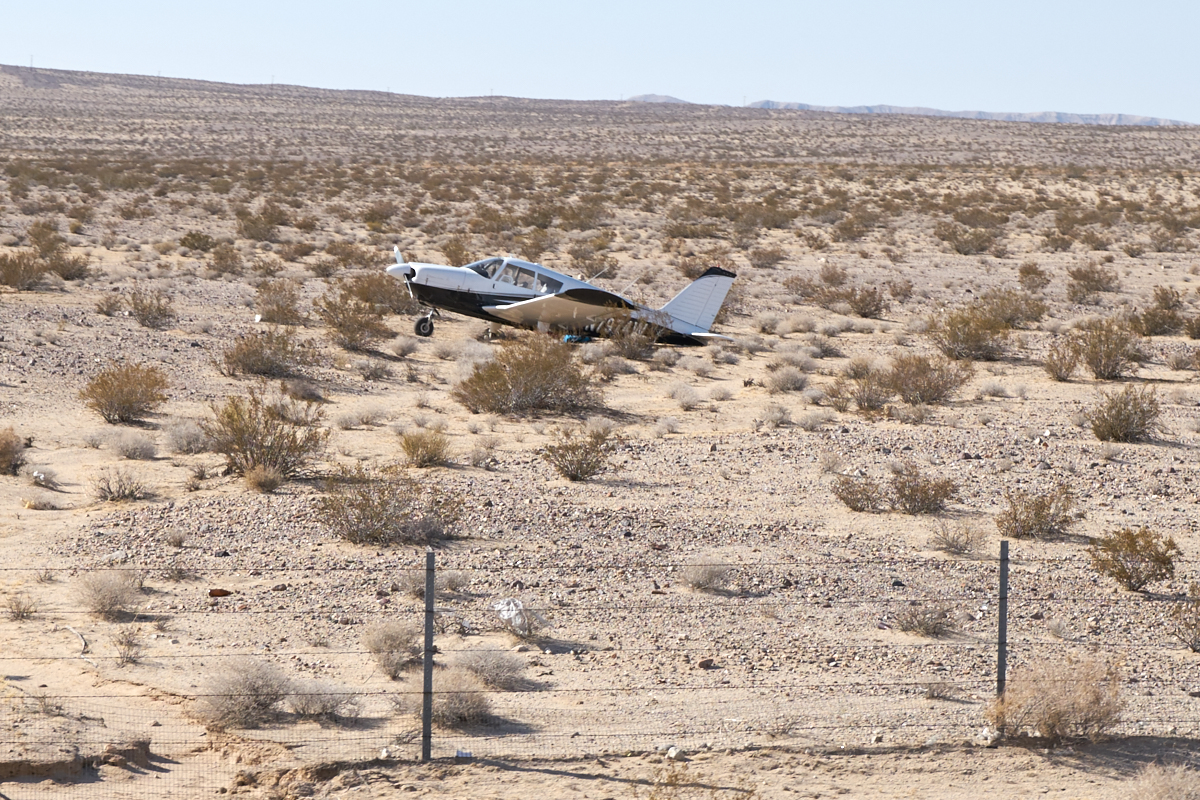
This
plane cost us an hour of our ever-shortening lives in the 120
degree heat. The thermometer in Baker showed 115 degrees,
but when we were stopped in the 15 mile traffic jam caused by
the rubber-neckers looking at the plane, the inside temperature
in the truck was 120 in the shade, 125 degrees on my pants and
140 degrees on the asphalt road surface. This fellow was
following the highway and must have had some kind of mechanical
issue, but landed safely. Not clear if the plane was
damaged or the pilot hurt, but CHP did send a car to watch the
plane and prevent vandalism.
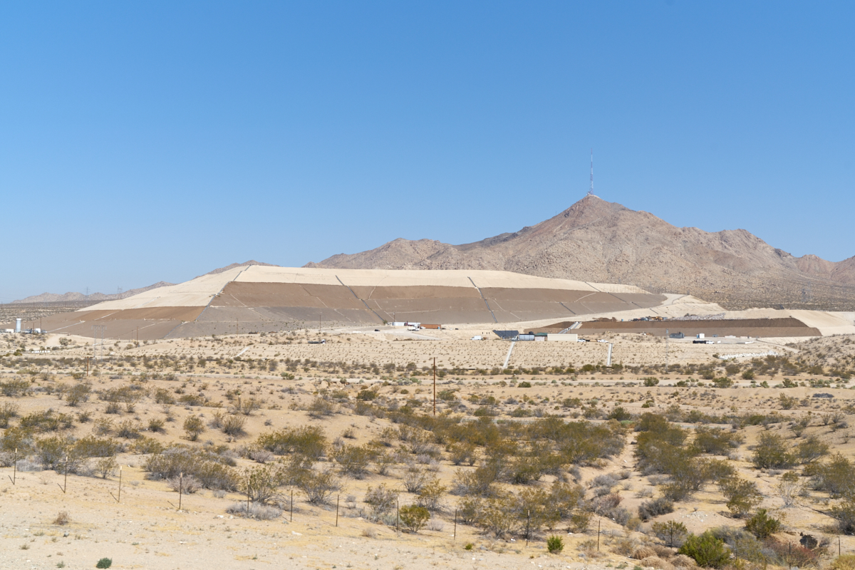
We spent
the night in Barstow as we had reached our heat-immersion limit
for the day. Next morning, we continued south. Above
is a photo of the landfill near Victorville. This
mini-mountain is a monument to the volume of waste generated by
modern society.
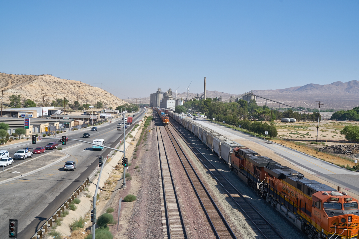
Our
motel room in Barstow was next to the BNSF line. They move
an incredible amount of freight on those tracks and the
Victorville yard was one of the staging areas for this movement.
| Previous Adventure | ||
| Trip Home Page |
Photos and Text Copyright Bill Caid 2016, all rights
reserved.
For your enjoyment only, not for commercial use.