The photos below are what we saw.
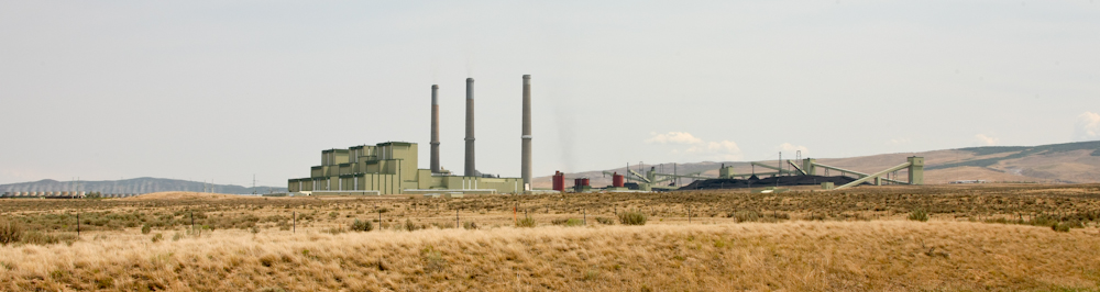
Just
south of Craig, CO we passed this huge coal-fired power
plant. The plant was so big that it took an ultra-wide-angle
setting on the camera to get the photo above. Note the
switch yard on the left of the photo and the coal receiving and
staging area on the right.
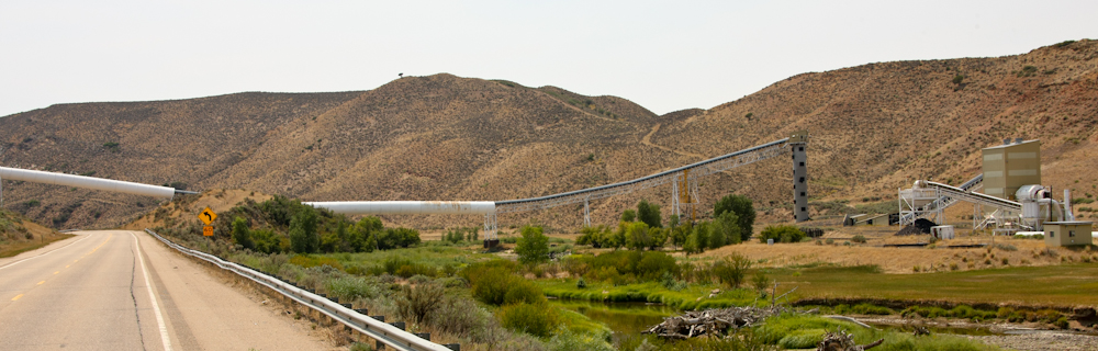
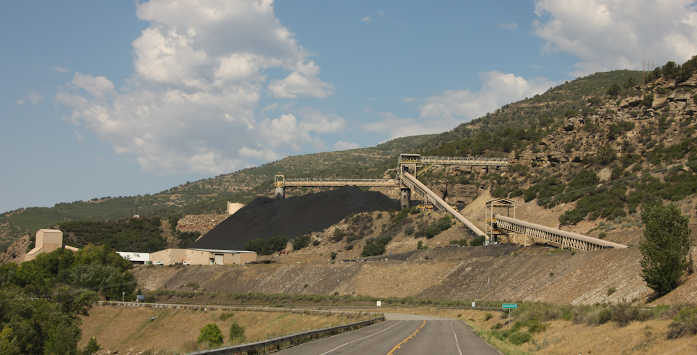
Further
south on the highway we came upon one of the mines that
undoubtedly provides coal for the power plant. The conveyor
belt brings coal down the mountain to the staging area for the
railroad.
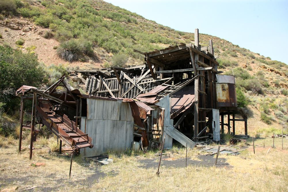
Before
large automation, this is the way coal mining was done. The
entrance to the tunnel is to the left of the wooden structure.
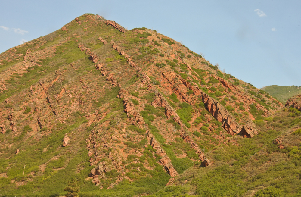
The
entire western slope of the Rocky Mountains has suffered
substantial uplifting during the formation of the mountain
range. The tilting of the bedding that resulted is clearly
visible in the photo above.
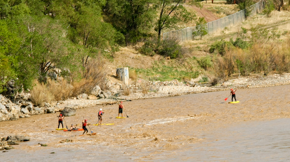
We
drove south until we hit I-70 and then went east to Glenwood
Springs. From a bridge crossing the Colorado River we
spotted these paddle boarders. It looks very unstable to me,
I am sure that they go unintentionally swimming frequently.
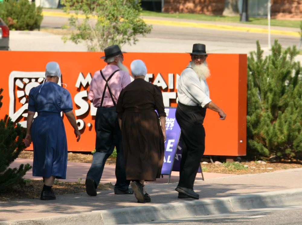
Some
of the local farmers were in Glenwood Springs for a day out.
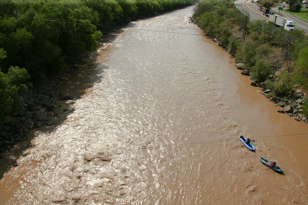
Over
the Colorado River, we got a view of these kayakers. Note
the color of the water. In the old days, they used to say
that the "Colorado River is too thick to drink and too thin to
plow" due to the amount of sediment that is carried in the water.
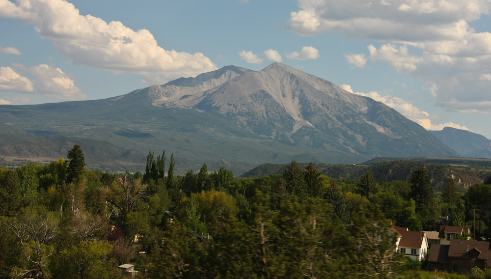
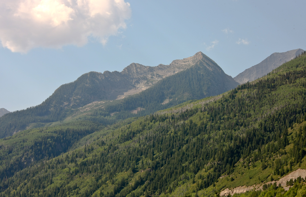
South
of Carbondale, we got a view of Mt. Sopris.
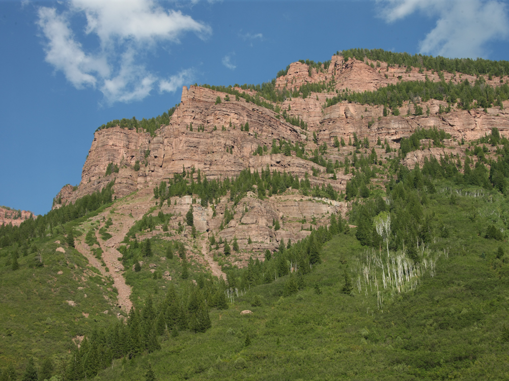
Daylight
was not on our side and we decided to roll into a National Forest
camp near the highway. The view of the cliffs from our camp
was stunning.
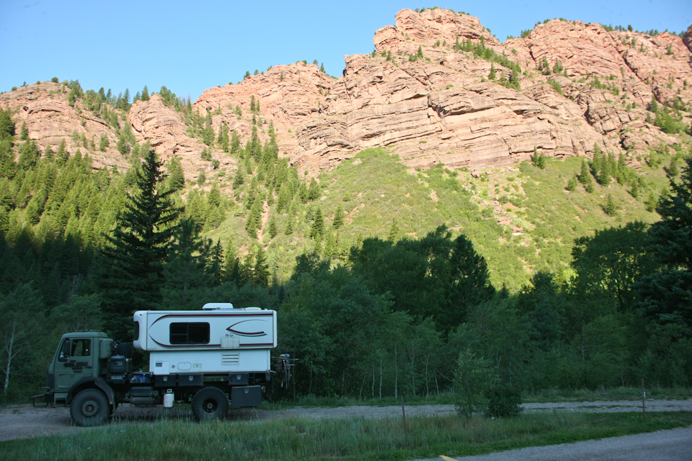
Next
morning after the sun rose sufficiently to illuminate the cliffs
again, we got a great view of the western wall of the canyon.
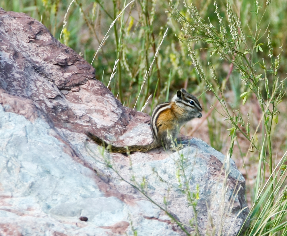
This
fellow was begging for hand-outs.
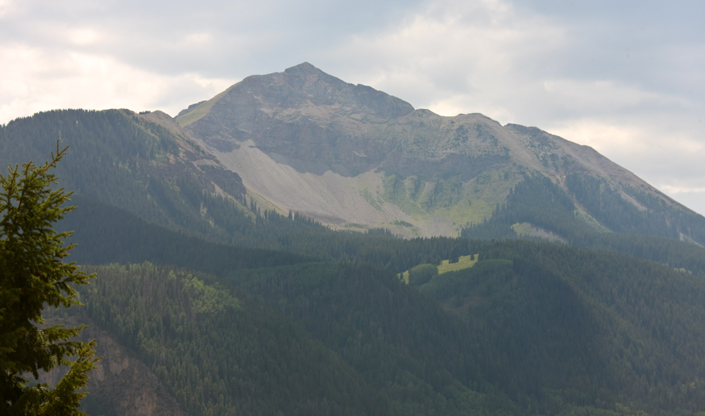
We
continued south on CO-133 and got views of some of the other peaks
in the area. Note the area to the left of the peak that
seems as if has been eroded due to glaciation.
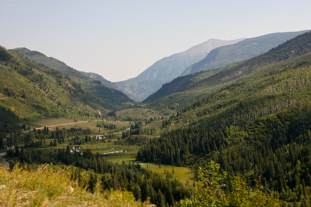
As
we crossed over a pass to Paonia we got a nice view of the valleys
to the east.
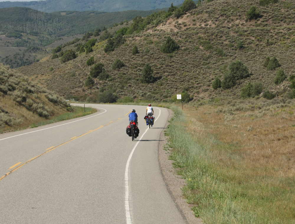
Thor
struggled over the 9,000+ foot pass and on the downside we came
upon these bicyclists that had done the pass on their bikes.
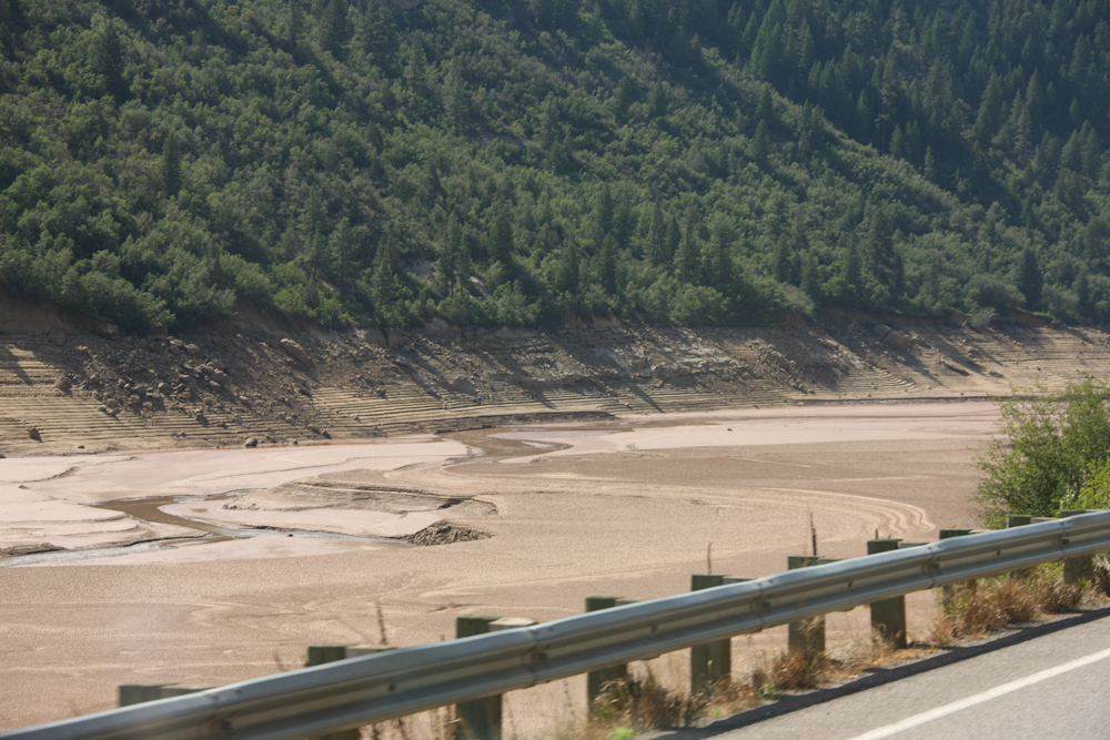
The
west has been suffering an extended drought and this reservoir
near the highway shows the results. Note the sediment that
has washed up on the banks.
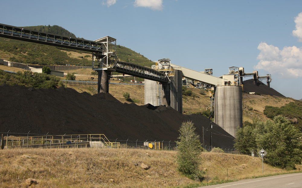
Further
south we encountered another large coal mine.
Just
a mile further we came to another large mine. The production
of this mine comes from conveyer at the bottom right of the photo
and the other conveyor at the center right.
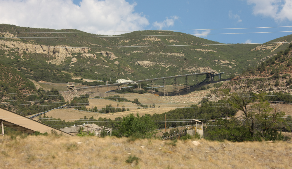
There
was clearly a huge seam of coal in the area because in just
another few miles we came to this operation.
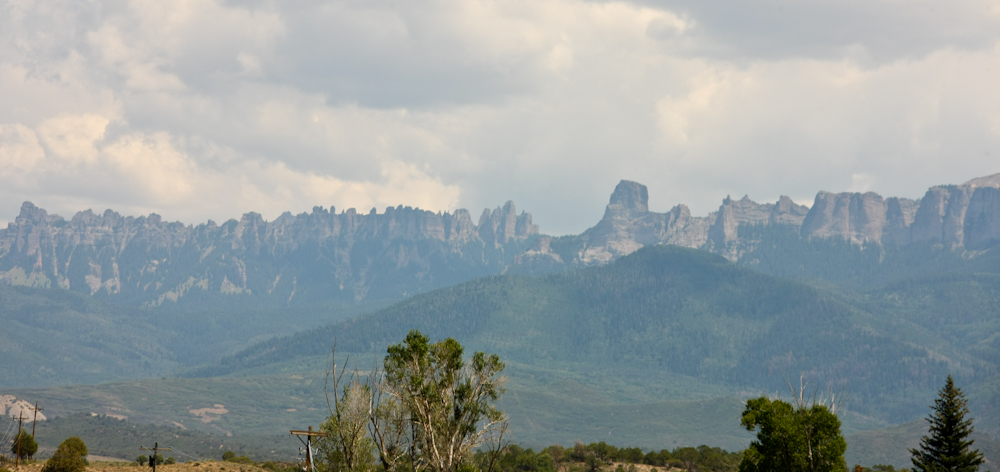
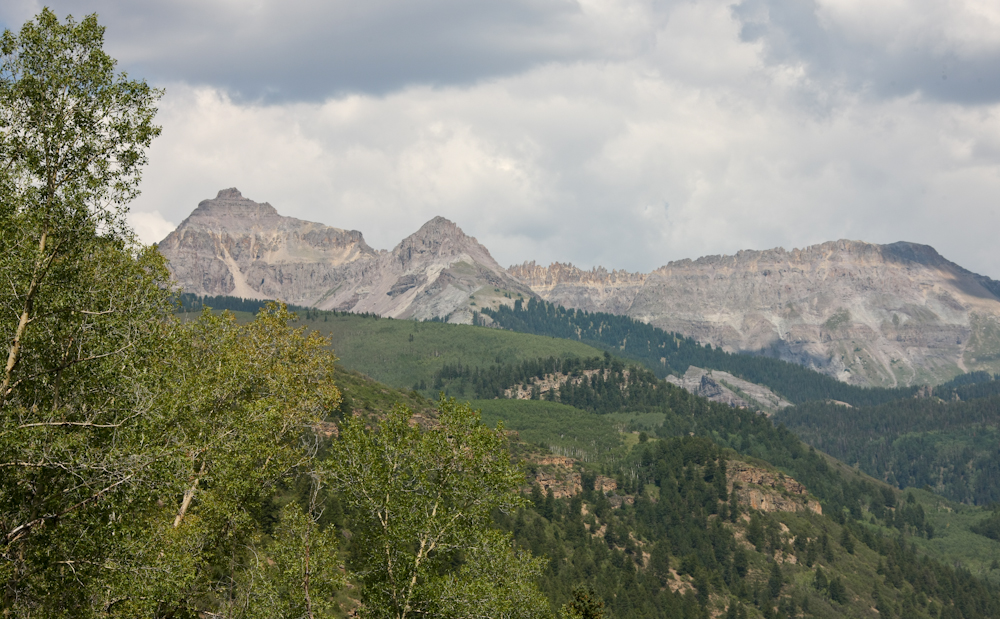
We
continued south to Ridgway, then went west. From the highway
we could see the peaks in the mountain range to the east.
These are some intense peaks.
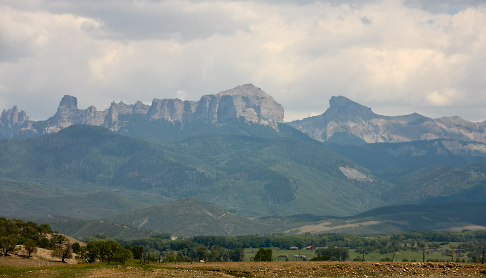
This
range of peaks shows evidence of intense glacial erosion.
Note the vertical cliffs.

From
an overlook, we could see the San Juan range to the south.
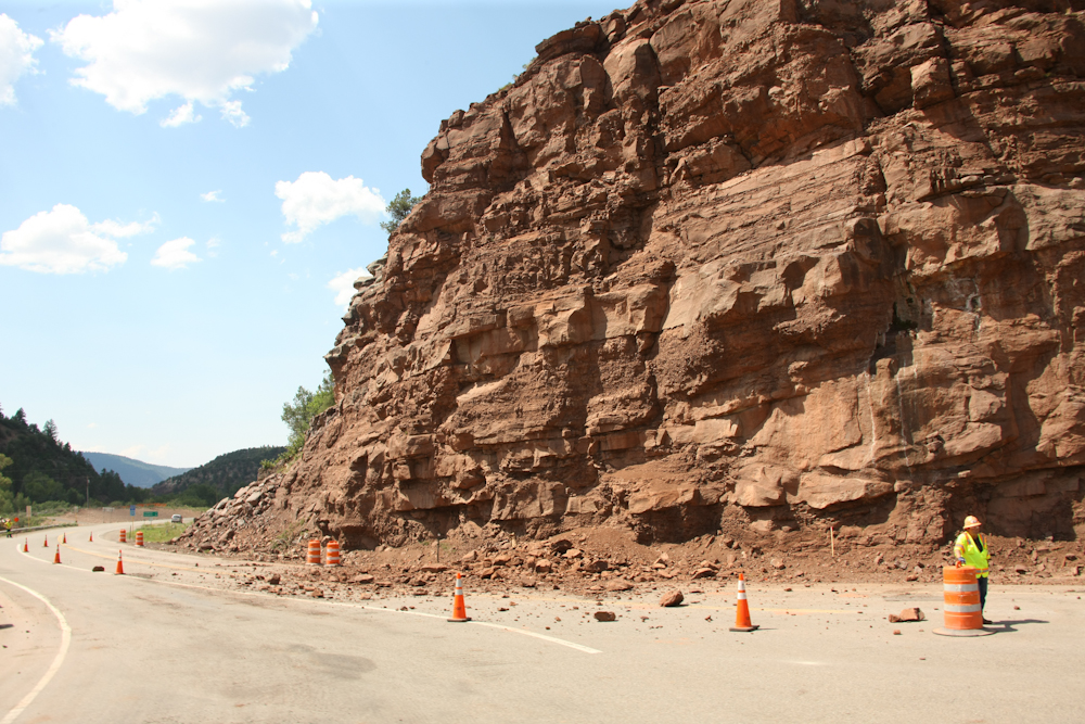
Steep
cliffs produce detritus. The highway department was there
cleaning up this rock slide. The traffic was backed-up for
about 20 minutes to pass.
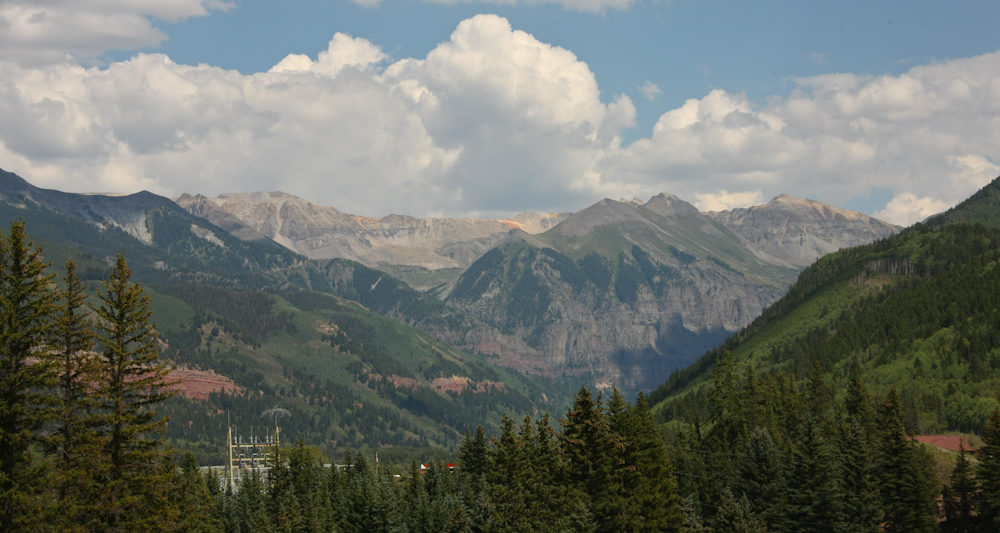
From
an overlook near Telluride we got a great view of the mountain
range to the east of the city.
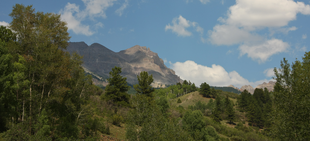
We
did not go into Telluride but rather headed south over yet another
pass. Near the first crest of the pass the cliffs to the
east came into clear view.
To
the southwest from the first crest the peaks of Sunshine Mountain
showed major glacial action.
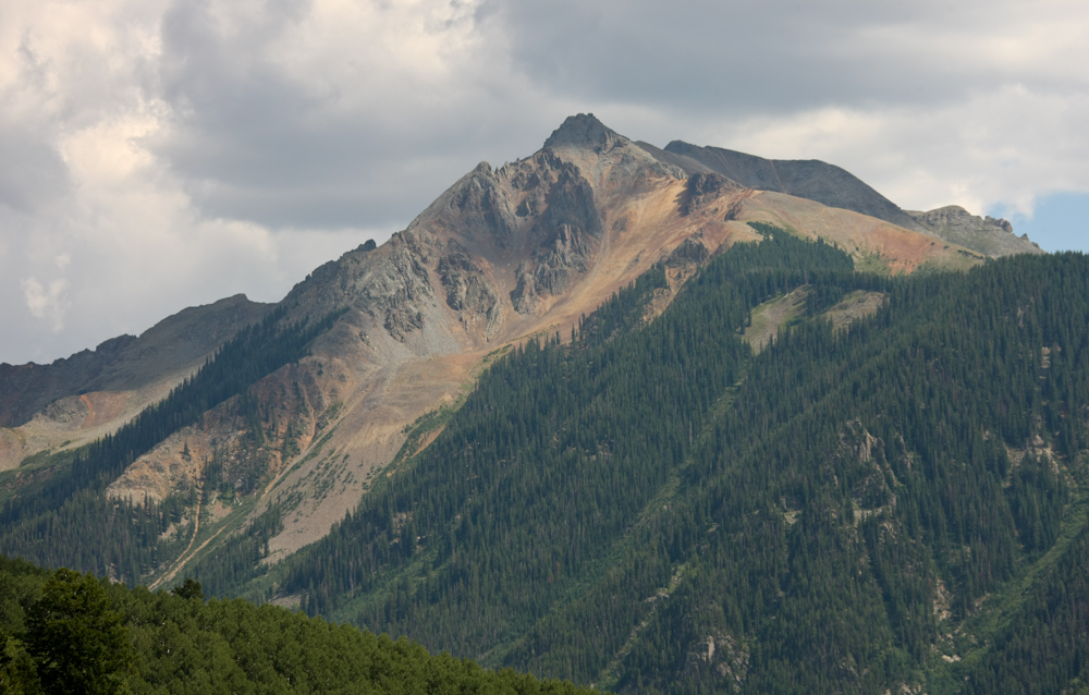
The
colors in the rock are an indication of the high level of
mineralization.
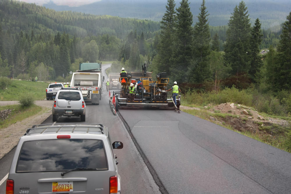
We
encountered many delays due to road construction. This
section was no different. But, the difference is the fellow
on the rear deck of the paving machine who is texting.
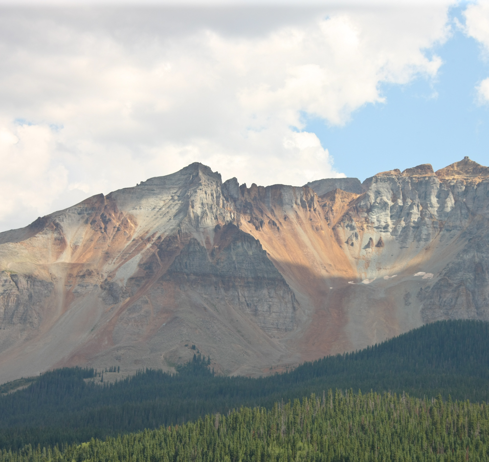
Note
the rich colors in the rock and the small pockets of snow
remaining.
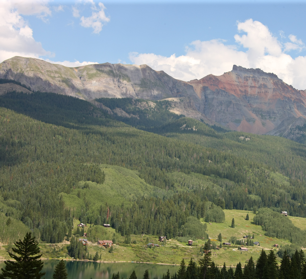
Trout
Lake near the crest of the pass with colorful cliffs in the
background.
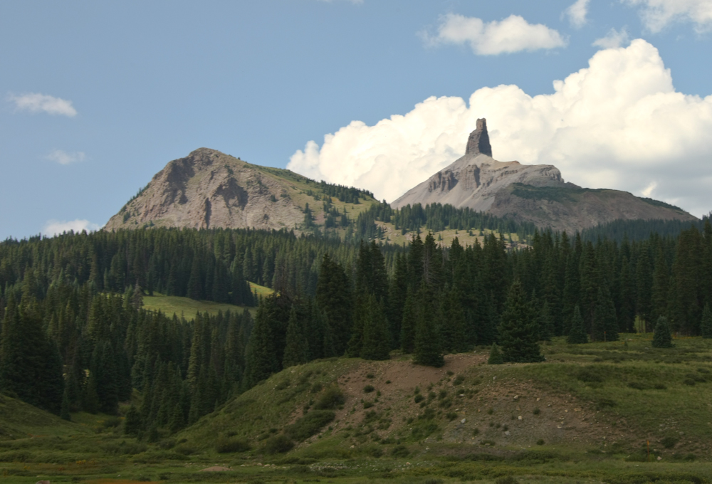
This
is Lizard Head rock. We continued south through Dolores,
then west through Mancos to Durango to join our friends Brad and
Laura at their place in Hermosa.
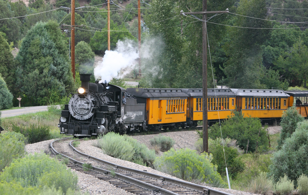
We
spent the night at Brad and Laura's place in Hermosa. Their
house is very close to the Durango and Silverton Narrow Gauge
Railroad. We could hear the steam whistle far enough away to
grab the cameras and sprint to the tracks to catch the oncoming
train.
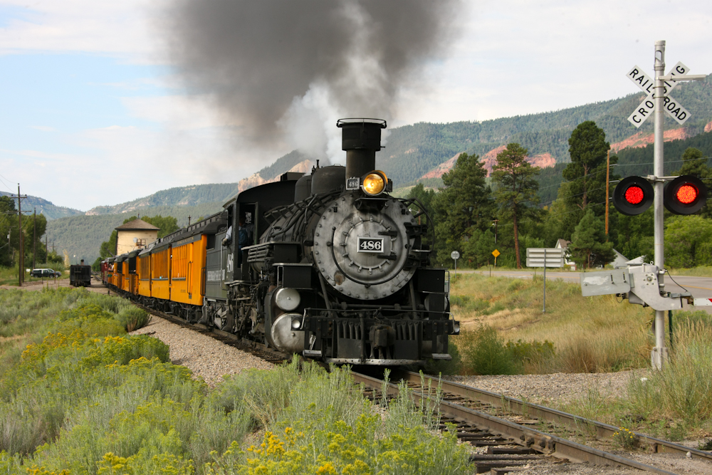
During
the summer season DSNGRR runs 3 trains a day for the tourists.
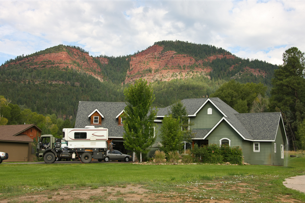
A
view of Brad and Laura's awesome house at the foot of the red
cliffs. Brad's daughter Amy said that if Thor were a
Transformer, it would be a decepticon.
| Previous Adventure | ||
Photos
and Text Copyright Bill Caid 2012, all rights reserved.
For your enjoyment only, not for commercial use.