We completed our maintenance
and planning actions with Rob in La Junta and then rolled west
toward the mountains of southern Colorado.
The photos below are what we saw.
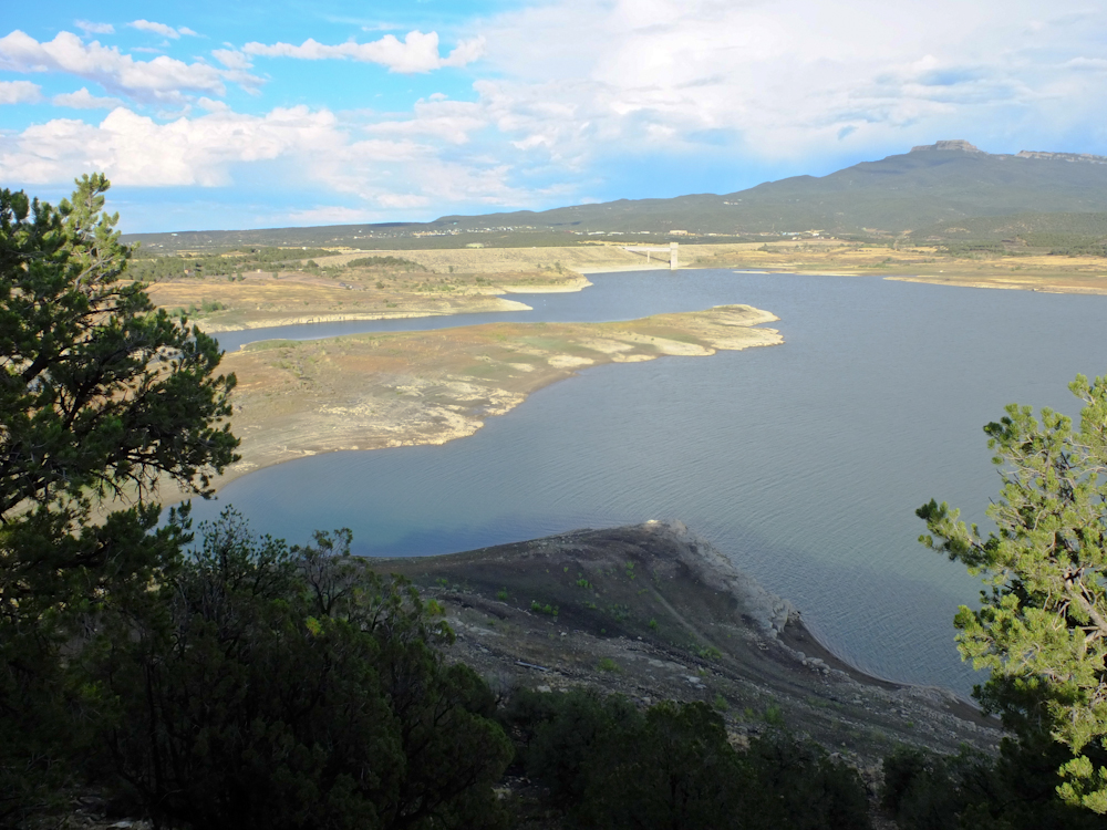
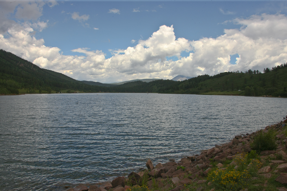
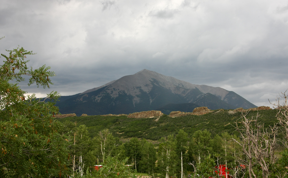
Our first camp was at Lake
Trinidad outside of Trinidad, CO. This is a Corps of
Engineers lake but the campground is a state park. It
rained hard for several hours when we arrived but the storm
passed and I walked to the overlook to get the shot above.
I do not know what the
structure above is named, but my bet is on "Castle Rock".
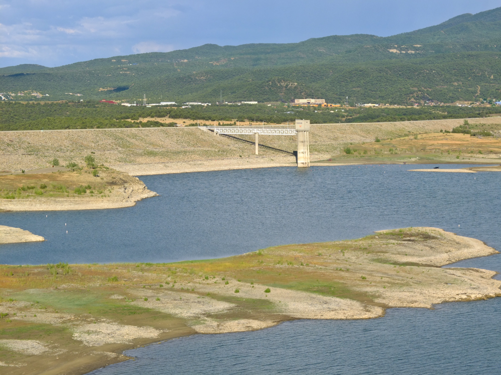
The dam is an earth-fill type
and the spillway control is in the concrete tower.
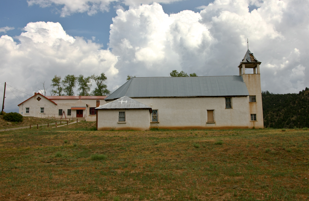
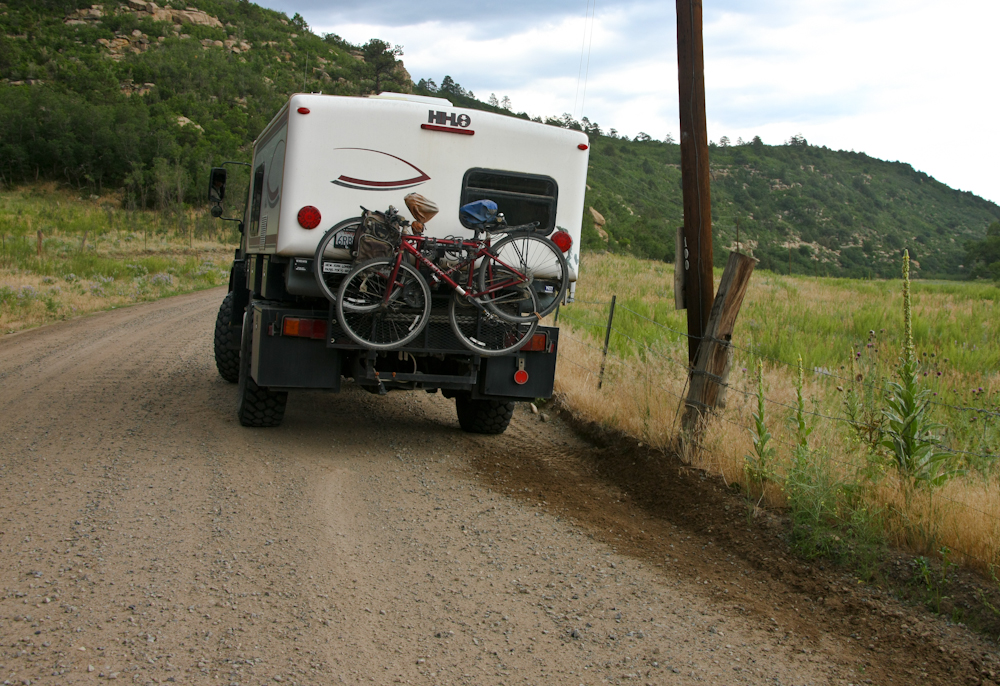
Next morning we continued west
into the mountains and came upon this church next to the
highway.
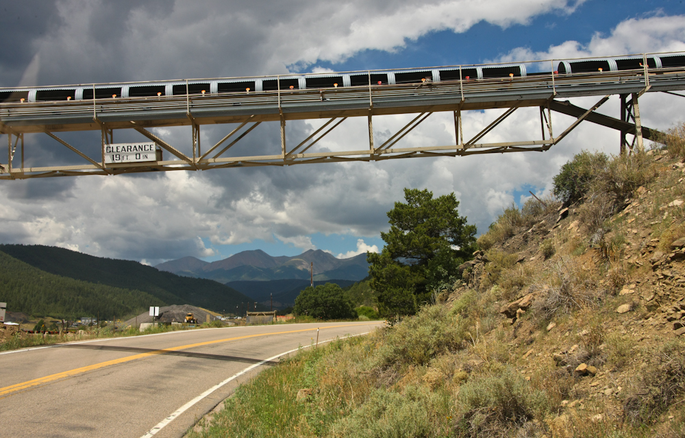
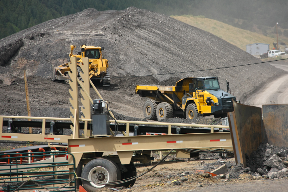
Further up the highway there
was a large coal mine. The area around Trinidad is known
for coal mining and this operation was sizable. Since it
was modern I am assuming they were running a "long wall"
operation. But, after reviewing the color of the output of
the mine, I am not sure it is coal.
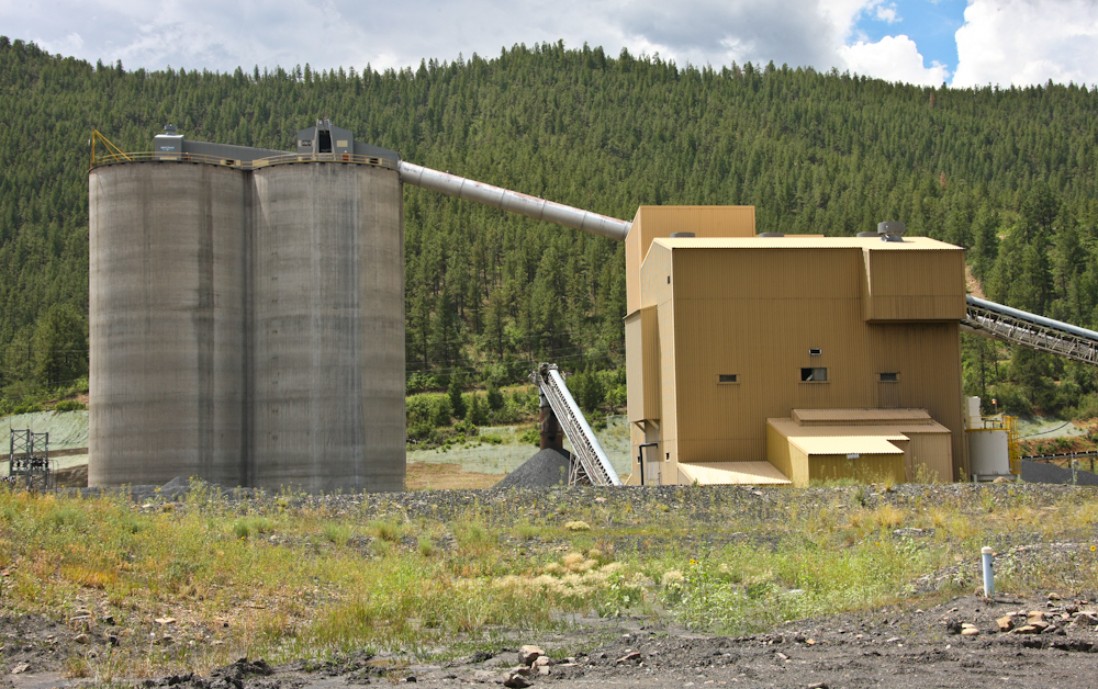
A processing facility and
storage bins for the material. There is a railroad line
below the horizon beyond the facility that is used to get the
material to market.
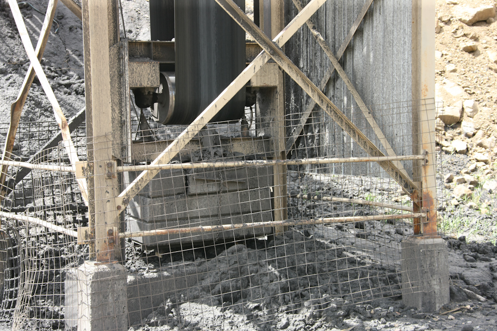
The conveyor belt system uses
passive weights to maintain tension in the belt.
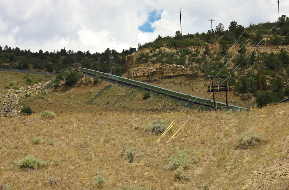
The material transfer conveyer
belt comes down from the side of the mountain at the upper left
of the photo above.
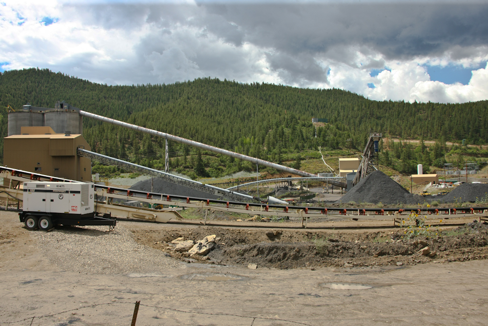
A shot of most of the
operation.
Note the color of the material;
this is why I question whether the material is coal. Even
western lignite is darker than this.
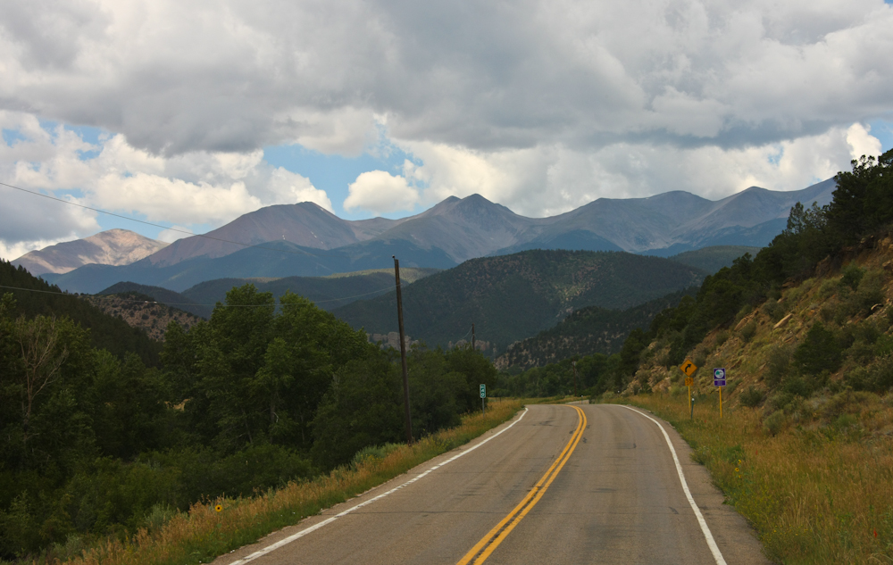
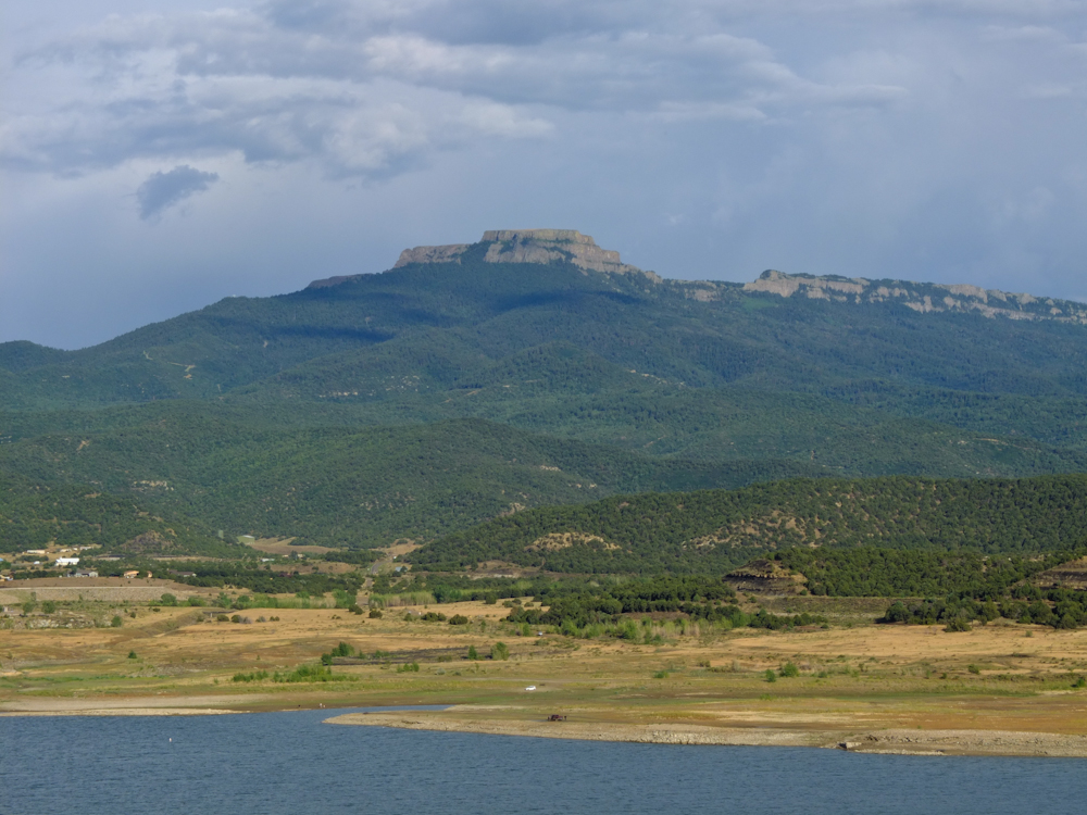
Past the mine we got a great
view of the mountains to the west. Most of the year these
above-timberline peaks are snow covered. In late July,
however, the majority of the snow is melted.
Further up the road we came
upon a long dike at a place called "Stone Wall".
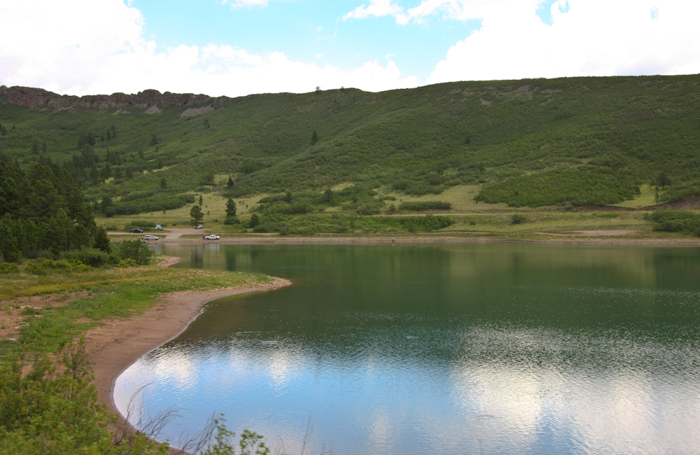
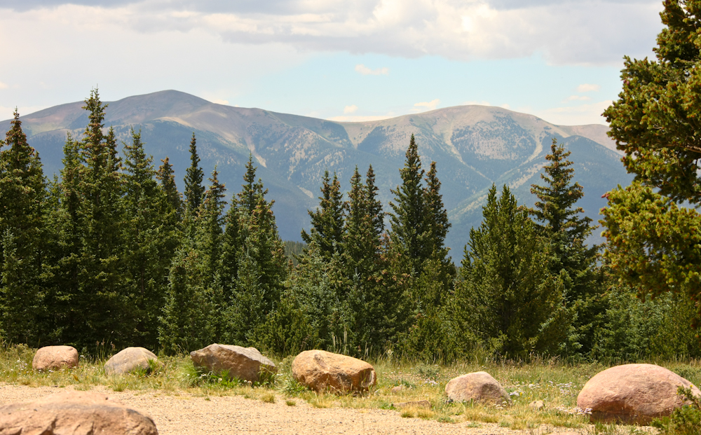
We went up the grade to
Monument Lake and had a pleasant lunch at their
restaurant. The lake was good sized by western standards.
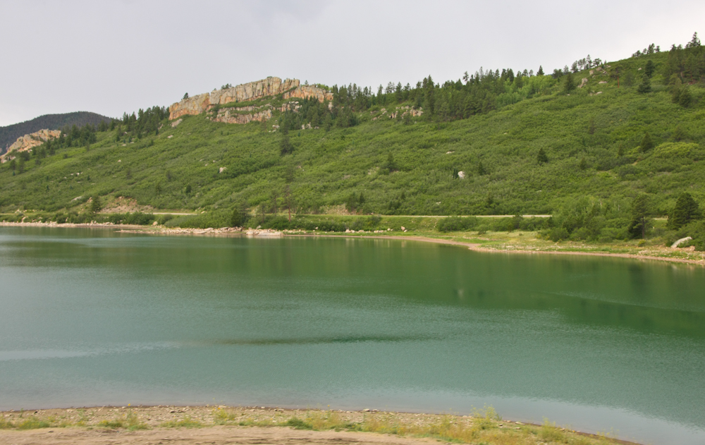
Further up the road near the
ridge-line there more lakes and there were fishermen trying
their luck.
The dike continued along the
road to the north.
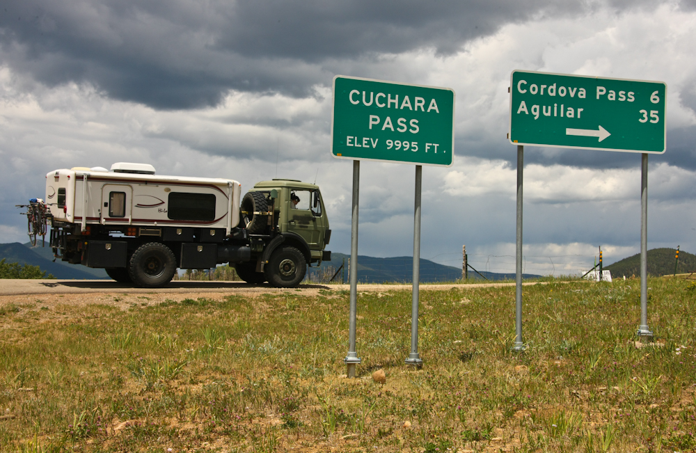
We got to Chuchara Pass and
decided to take the dirt path that goes over the 11,000+ foot
Cordova Pass and then down to Aguilar.
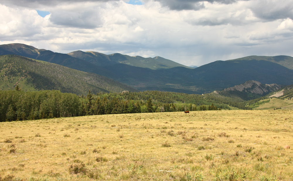
The view from the pass was
awesome. Note another dike structure at the center left of
the photo above.
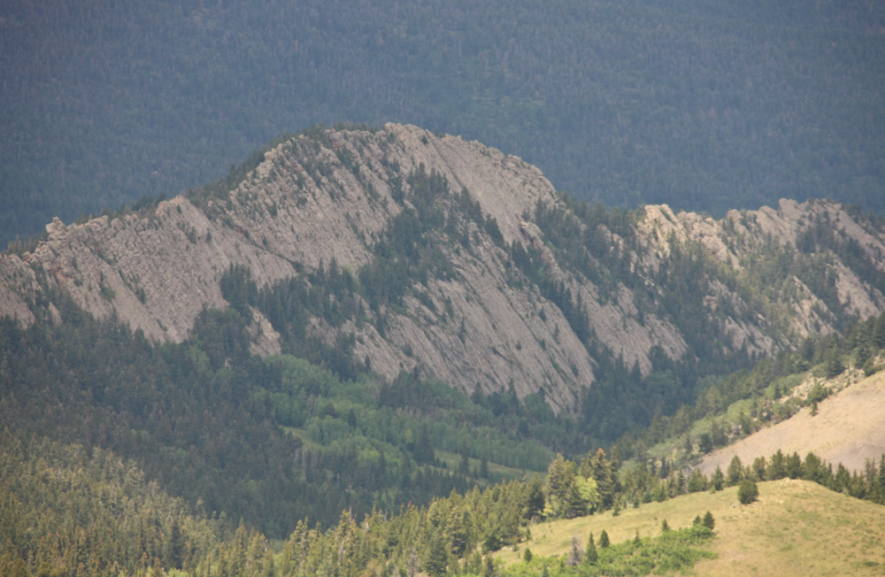
This intrusive dike was large
and tilted from vertical.
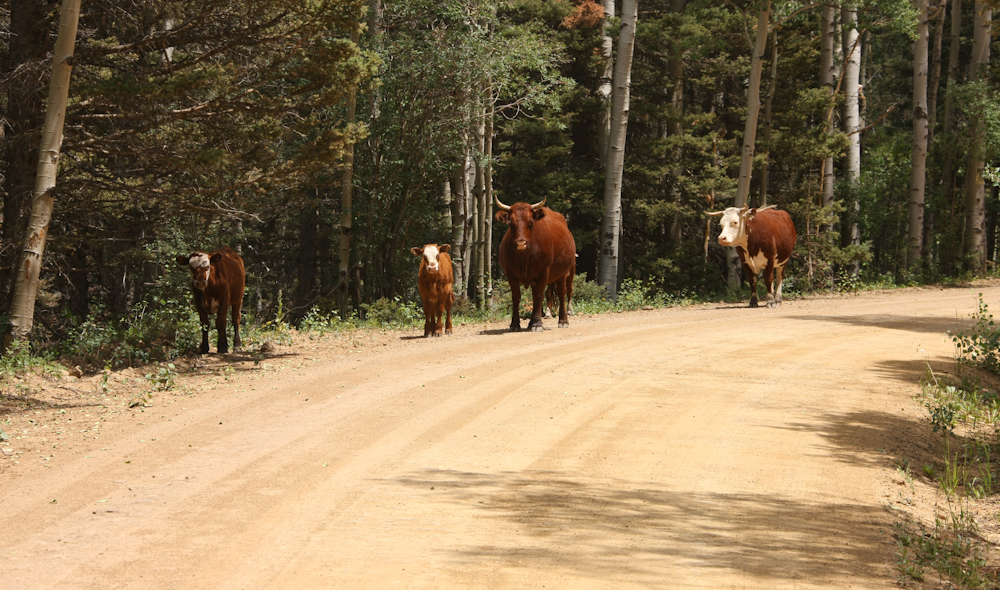
We passed only one vehicle on
the road but were challenged by the bull in the center. He
stood his ground until Thor nearly touched him then he backed
off.
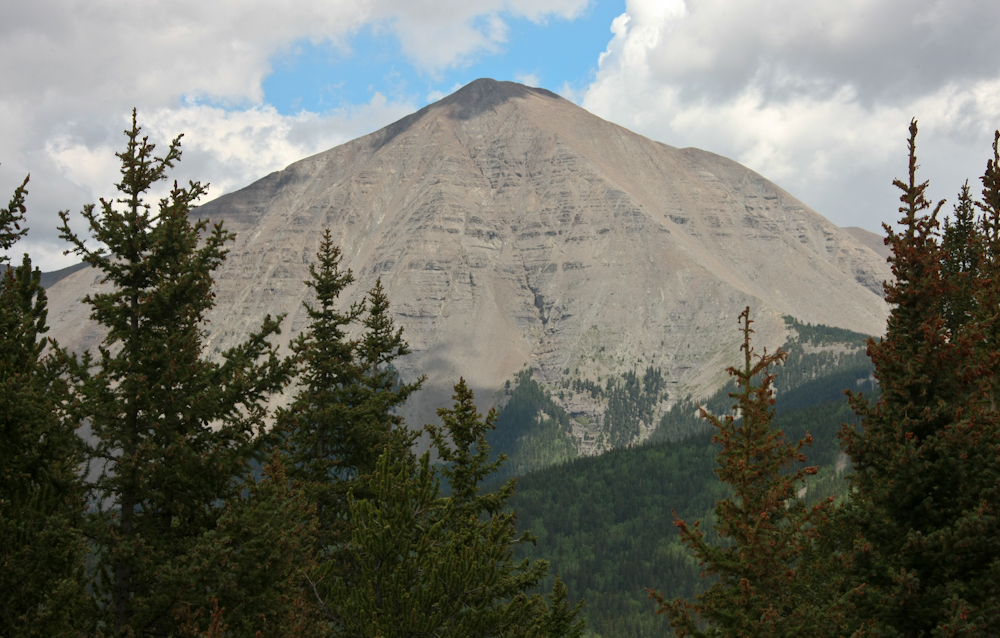
From Cordova Pass we could see
West Spanish Peak.
To the west of Spanish Peak
were several other peaks that were above timberline.
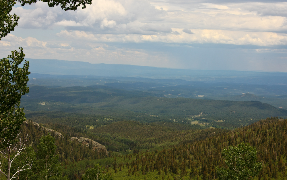
As the road started down the
east flank of the range we got several stunning views of the
lowlands to the east.
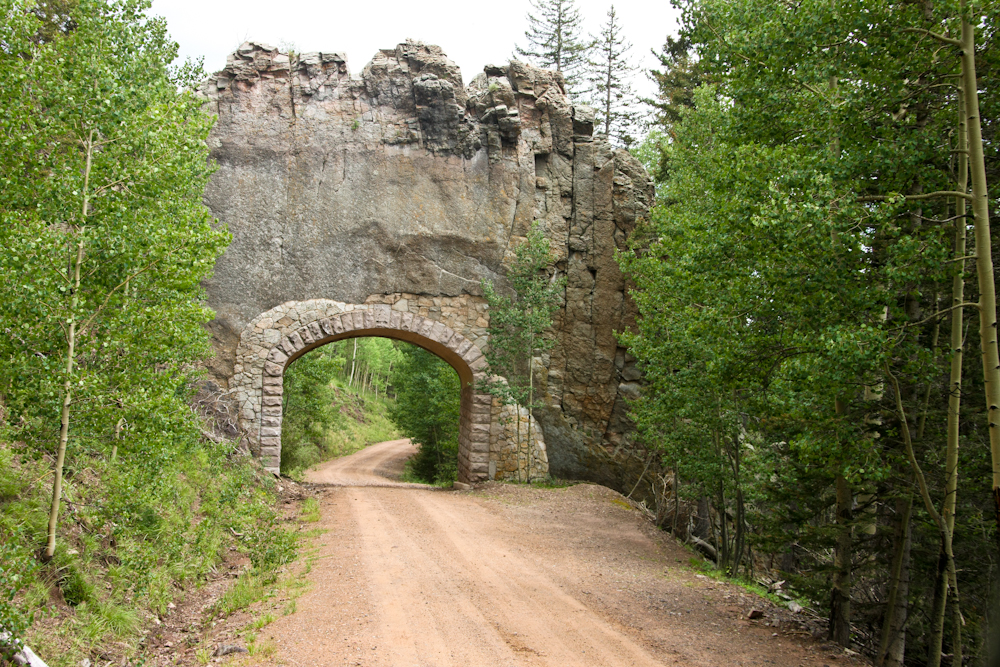
The WPA/CCC built this road
back in the early '30s (like many roads in the west) and the
path chosen went through another intrusive dike requiring a
short tunnel.
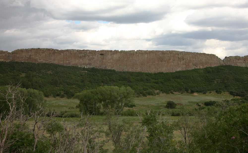
We got almost to the valley
floor and spotted this huge dike constraining the valley below.
While photographing the dike, I
turned and noticed that I had an unobstructed view of West
Spanish Peak. The thunderheads were building in the area
of the peak and it would rain heavily later in the day.
We had a near catastrophe while
attempting to be a good samaritan. One of the few vehicles
that passed us oncoming had his front license plate
dangling. I did an unintentional slide stop so I could
warn him and the passenger wheel slid into the ditch smashing
the rear tool box into a fence post. A few more feet and
we would have hit the phone pole with a whole different set of
results. The fence post was the loser, but there was some
damage to the rear tool box.
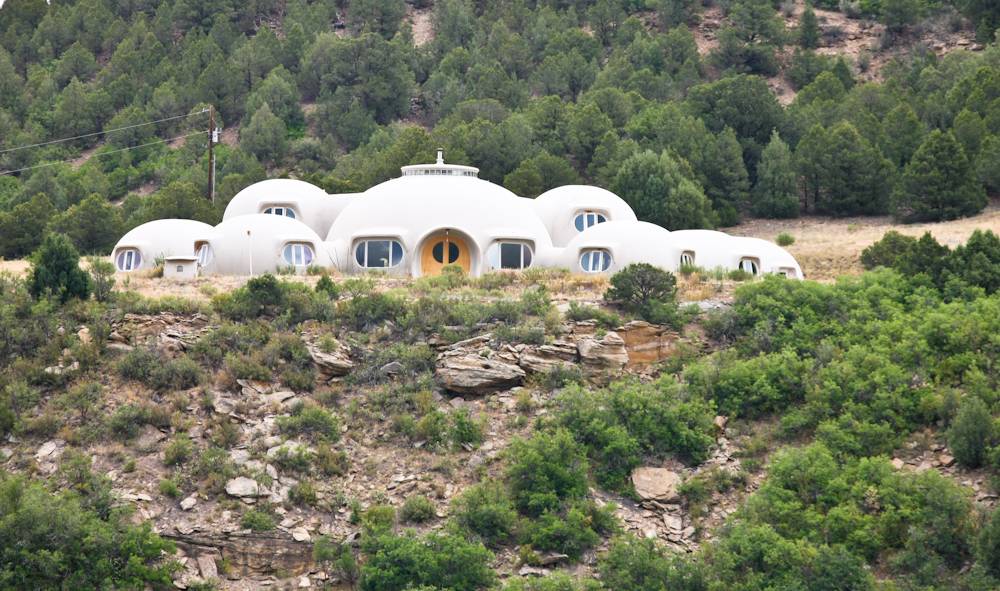
We spotted Moon Base Alpha on
our exit from the canyon. I assume this was a residence,
but who is to say?
We went down to the flats and
headed north on I-25 then west again into the mountains at
Colorado City. We camped at Isabel Lake and the pads there
were sloped enough that it took 6 inches of lift on both rear
wheels to get even close to level.
| Previous Adventure | ||
| Trip Home Page |
Photos and Text
Copyright Bill Caid 2012, all rights reserved.
For your enjoyment only, not for commercial use.