The photos below are what we saw.
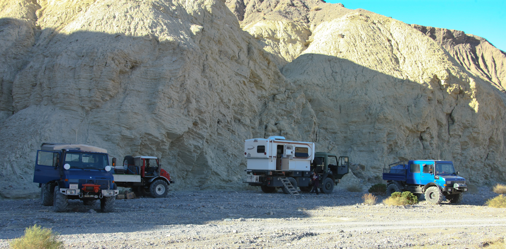
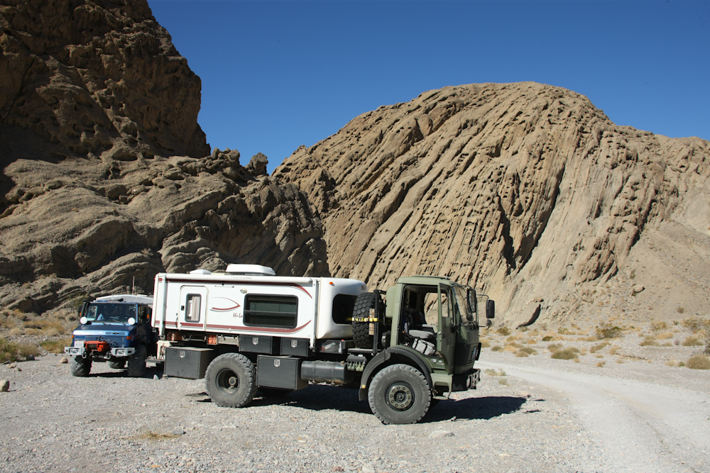
Since we arrived late in Hole
in the Wall Canyon, we took the first possible camping area that
was past the 2 miles-from-the-road exclusion zone. The
camp was basic: not fully level, rocky and nothing more than the
bed of the wash. But, it was sufficient for our needs.
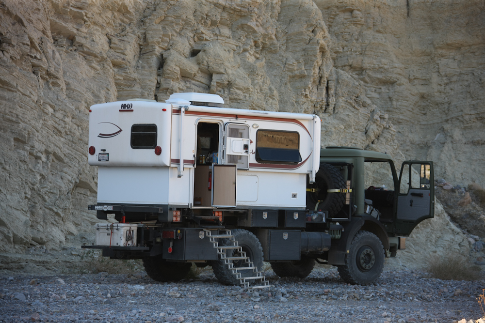
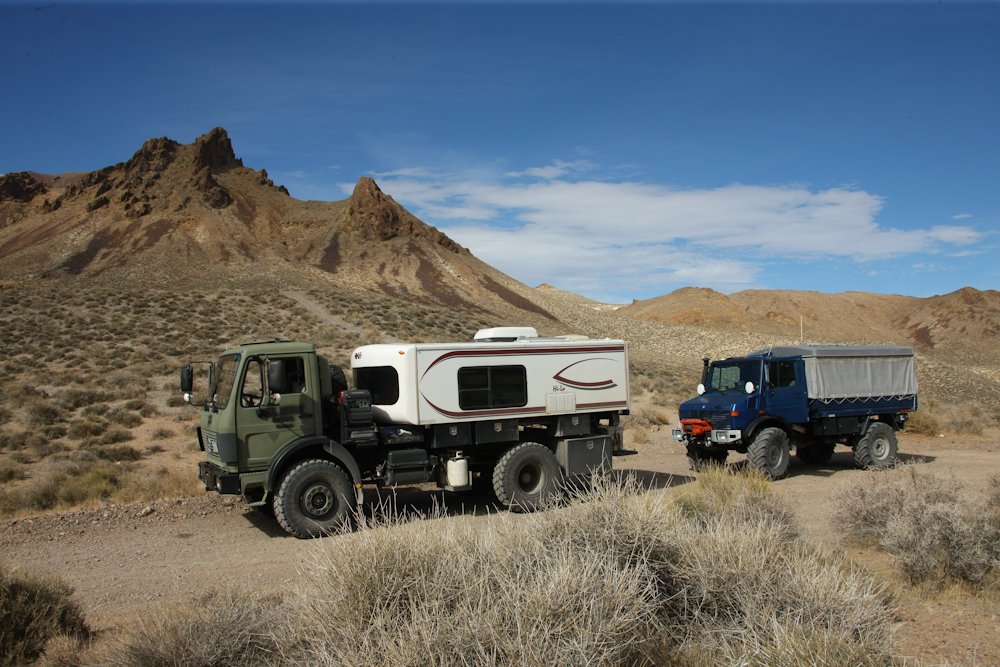
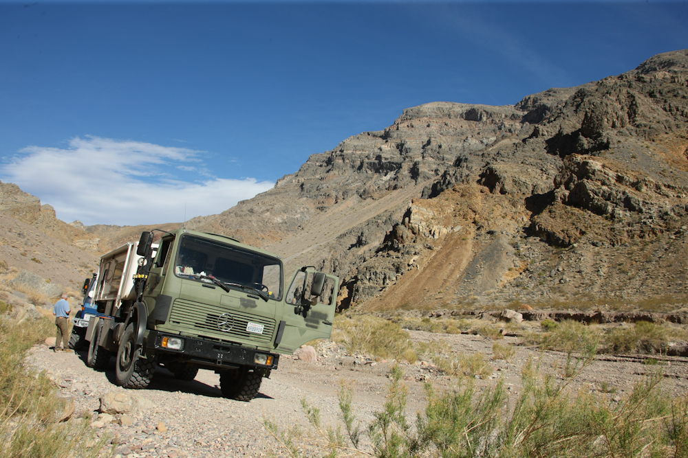
Thor served as the base of
operations for breakfast and coffee the next morning.
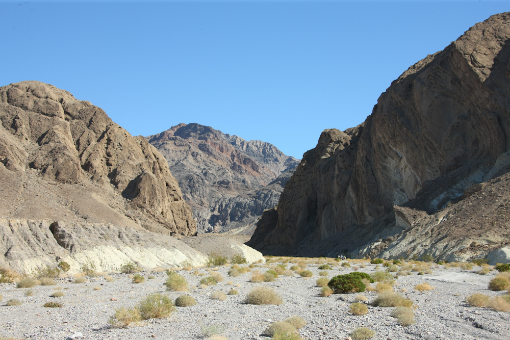
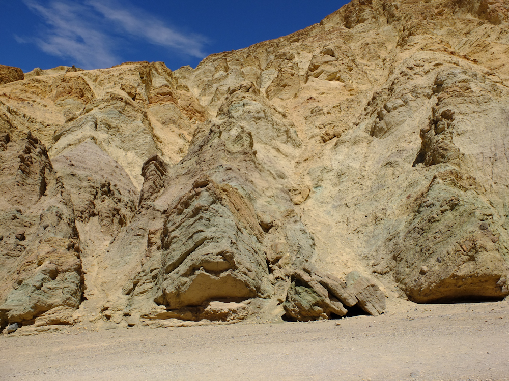
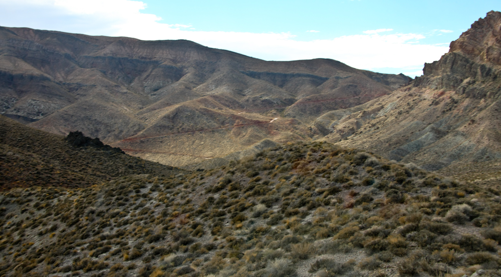
Hole in the Wall is a cut
through a hogback that was eroded by the creek.

Like most of the area, HIW
canyon had sections that were heavily mineralized as evidenced
by the various colors in the photo above.
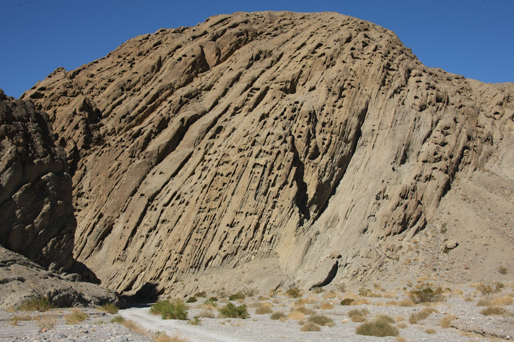
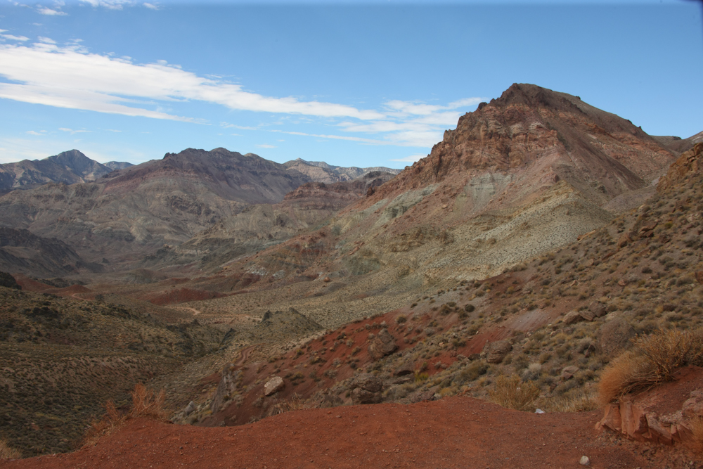
The uplift that caused the
hogback in HIW is clearly visible in the photo above.
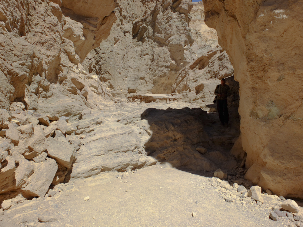
There were plenty of wind caves in the face of the canyon
wall. These caves "moan" when the wind blows which can be
quite alarming until you understand what is happening.
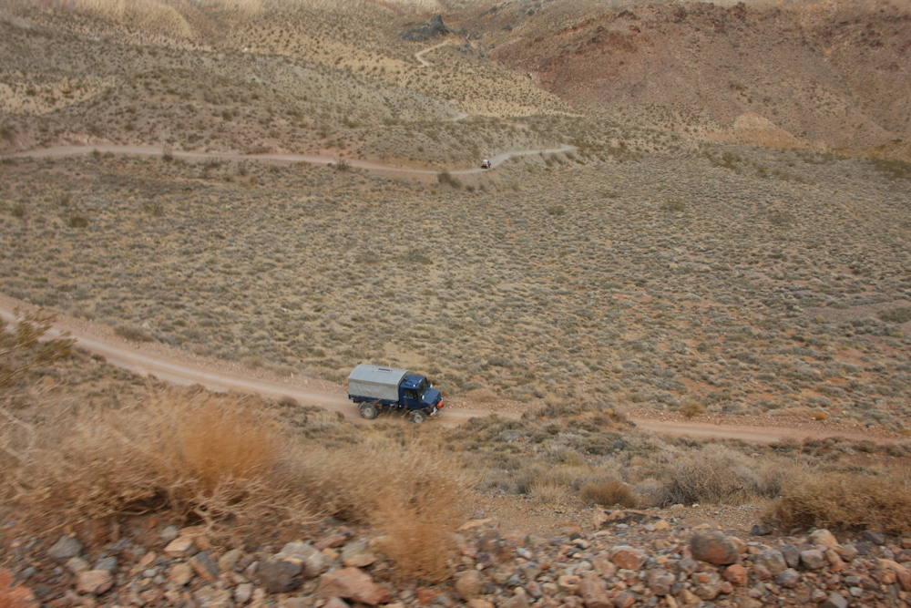
We stopped for a few photos and
then turned around and headed downstream to see other sights.
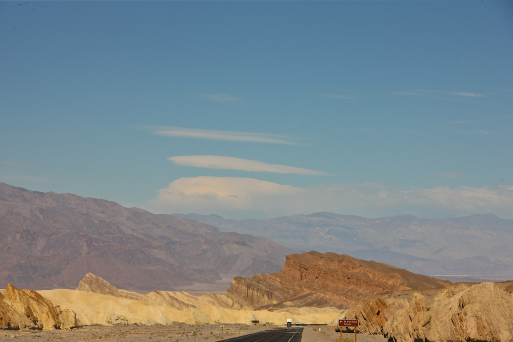
Upon our return to the
blacktop, we could see lenticular clouds over the Panamint Range
due to high winds.

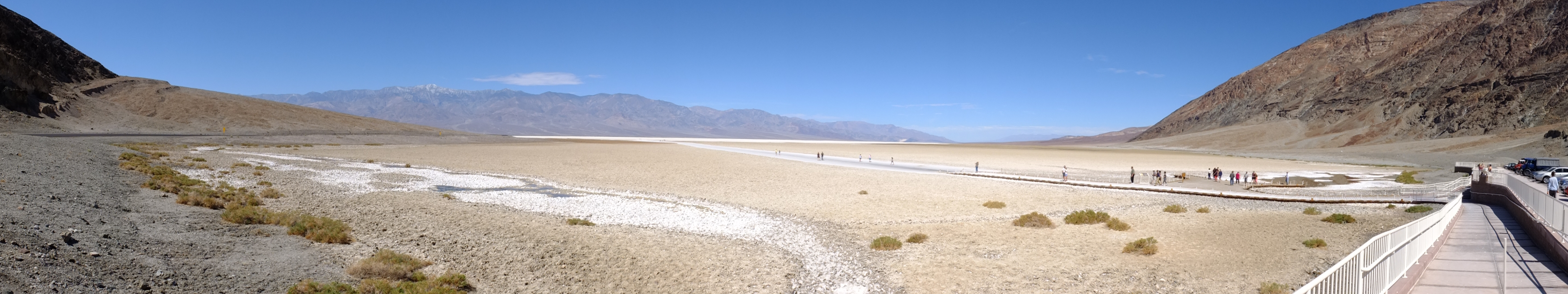
We traveled south to Badwater
Basin to see the lowest point in North America. Click here to see the full-size
panorama.
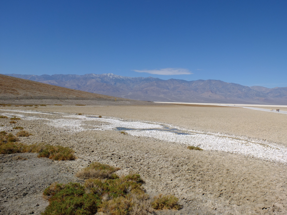
From the lowest to the highest in the area: 11,000 foot Telescope Peak in the Panamint Range is visible on the far horizon.
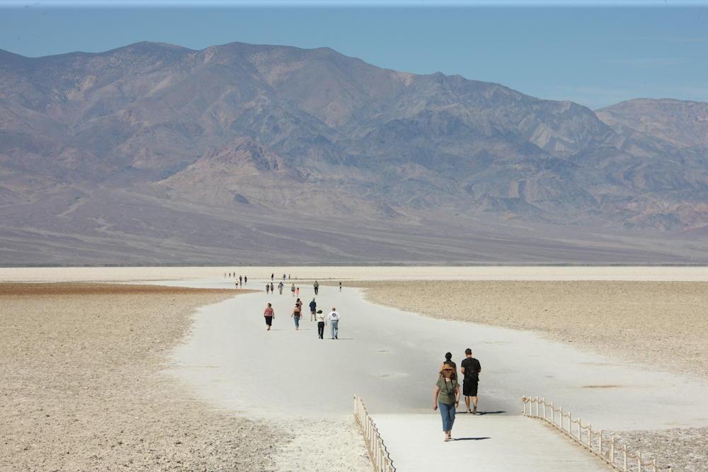
Plenty of folks felt compelled
to walk out onto the salt flats. Since it was hot and we
had seen salt flats before, we elected to stay in the parking
area.
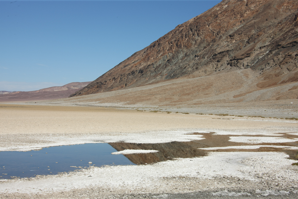
The amount of surface water at
Badwater was minimal. Very saline and heavily mineralized
with other salts, the water is totally unfit for consumption by
man or beast.
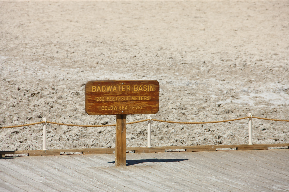
The block fault that created
Death Valley is still sinking, but the sign above lists the
elevation today.
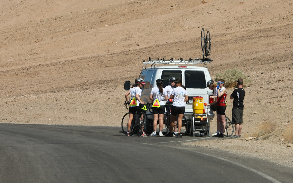
We passed a number of road
bicyclists on a trip. These are paid tours and the van
provides transport and logistical supplies (like water).
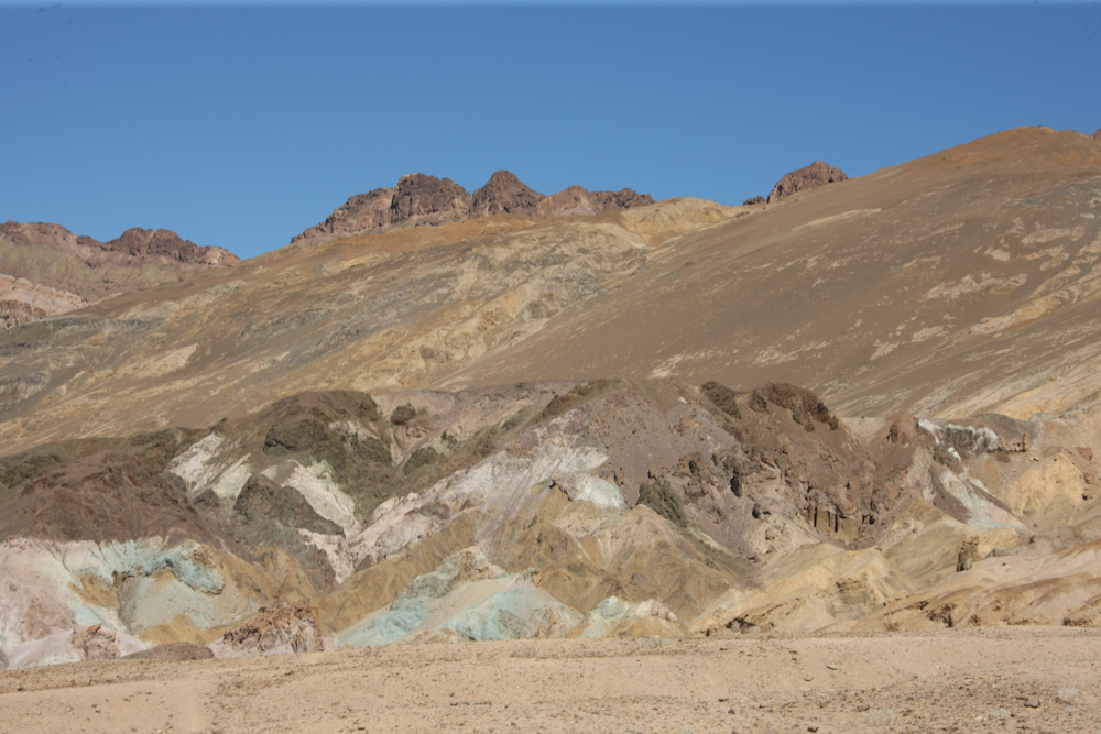
From Badwater, we headed north
and took a side trip into Artist's Drive. The photo above
shows more evidence of the mineral content of the formation.
We also stopped at Golden
Canyon and went for a short walk. Golden is a narrow, slot
canyon not unlike the canyons in the Borrego Desert in San Diego
county.
There was a road in Golden
Canyon at one point, but nature had other ideas. The
erosion from the flash flood resulted in this 5 foot cliff in
the stream bed.
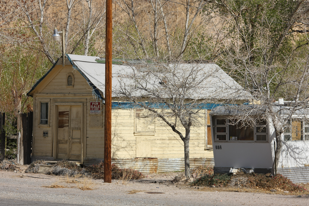
From Golden Canyon, we headed
over the Funeral Mountain range to Beatty, NV where I spotted
this fine house for sale.
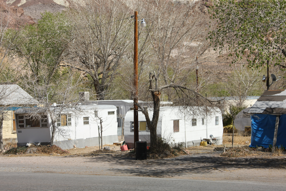
The house was in Jedville, the
up-scale, gated community in Beatty.
After an excessively long fuel
stop at the Rebel Station, we encountered every gap-toothed,
asymmetricaly-faced hillbilly in the area wanting information
on our trucks. From Beatty, we headed back toward Death
Valley via Titus Canyon. The photo above was shot at the
first pass that was about 5800 feet in elevation.
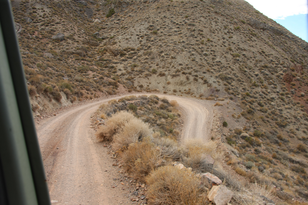
The road headed into the far
hills and got quite steep. You can see the switchbacks
in the photo above.
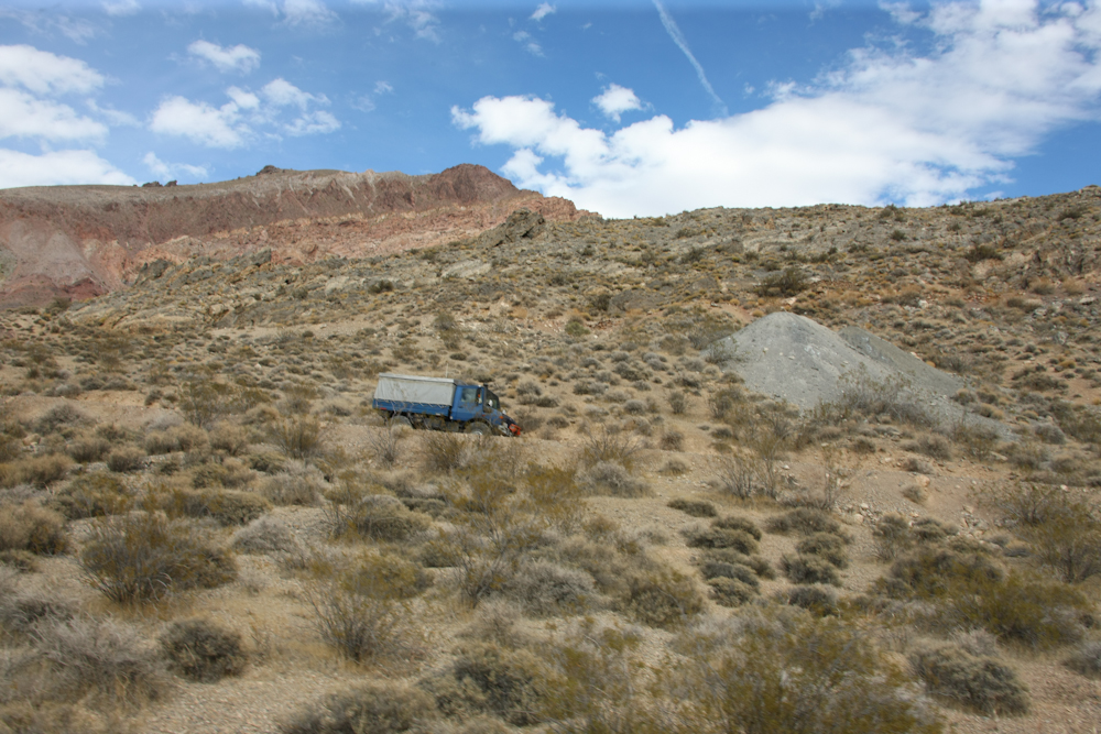
We were at the front of the group
and could see the remaining trucks as we got higher on the
grade. Above, Mark and Matt follow.
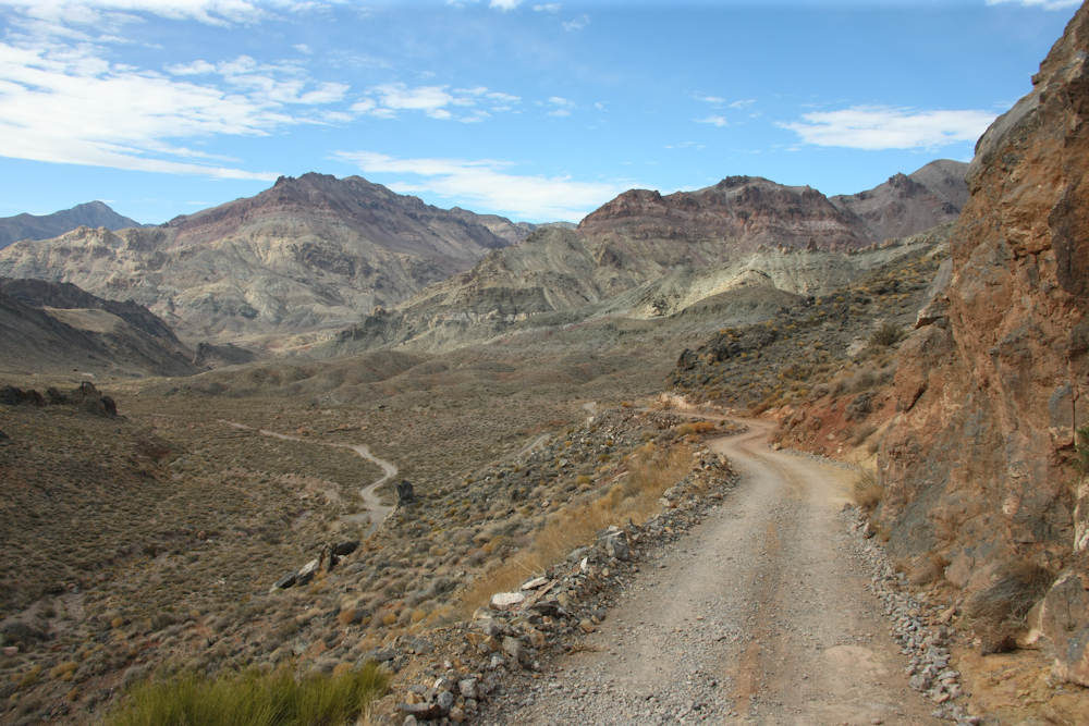
At the second pass, we got a
great view of the hills to the north. The road made a
scary-steep descent into the canyon which required careful
driving.
Some of the turns were at the
limit of the turning radius of the truck.
Lower into the canyon, we could
see some structures from the abandoned town of Leadfield.
A photo of Mark also shows some
of the tailings from previous explorations.
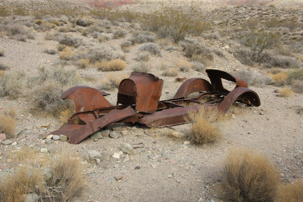
The husk above is all that
remains of an old car. It was clearly stripped of
everything useful.
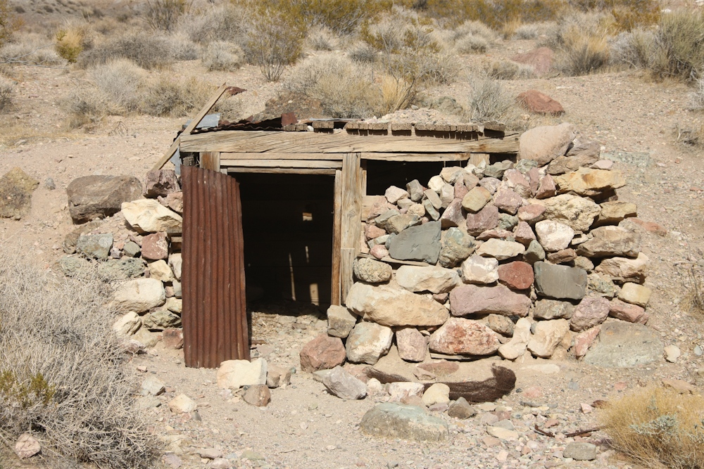
This is a tough way to live.
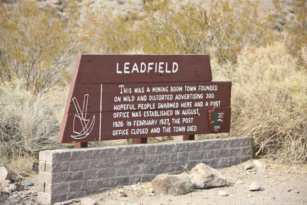
The sign tells the story.
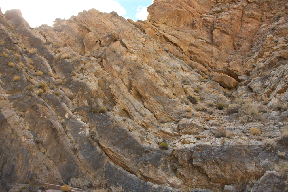
The strata in Titus Canyon was
heavily deformed and uplifted.
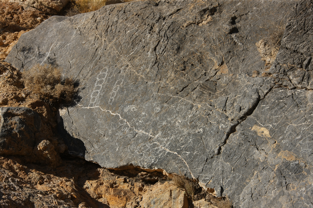
We passed some petroglyphs near a spring in Titus Canyon, so we stopped to take a couple of photos.
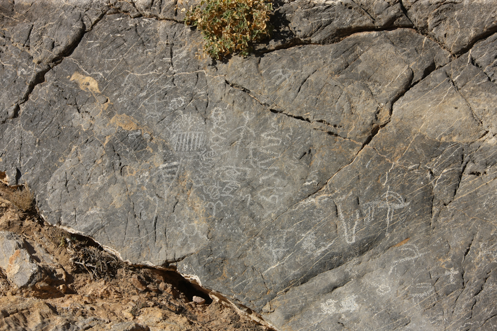
There were quite a few glyphs, but none were very impressive.
At the petroglyphs, the canyon was starting to narrow. Below a few miles, it would turn into a slot canyon.
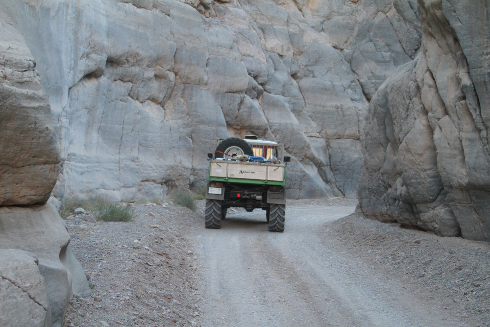
The canyon became quite narrow
and it was hard to avoid the walls. I never got a photo,
this photo was from Roberto's camera.
| Previous Adventure | ||
| Trip Home Page |
Photos and Text
Copyright Bill Caid 2011, all rights reserved.
For your enjoyment only, not for commercial use.