The photos below are what we saw.
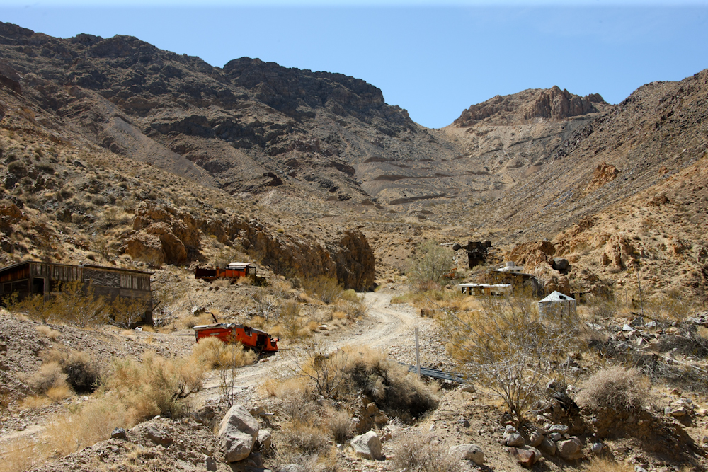
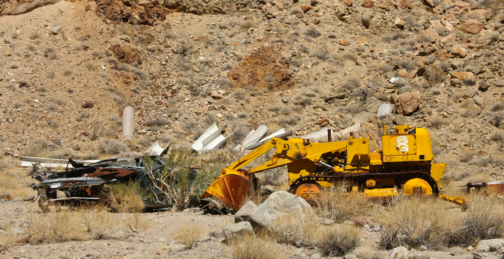
This mine was a rather big
operation. Note the road cuts on the far cliff.
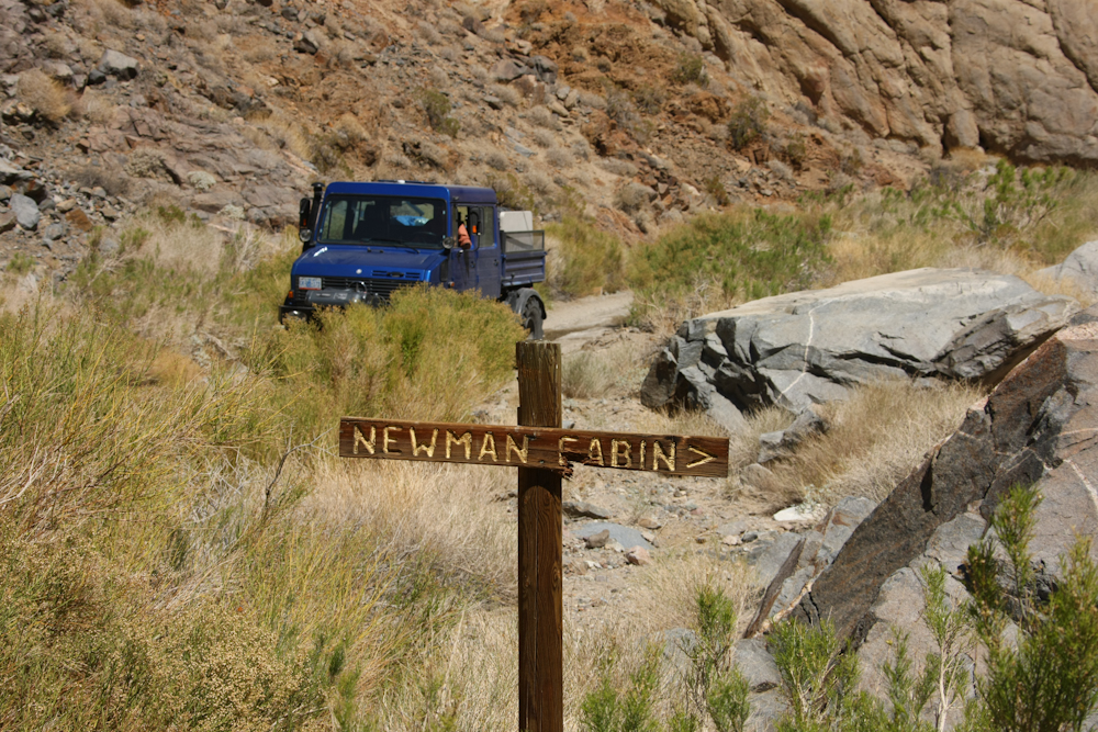
We stopped at the headquarters
for the Newman Mine.
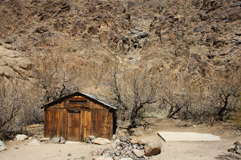
Pretty spartan, but the
cabin was in pretty good shape.
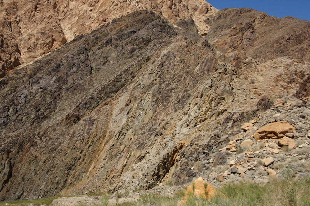
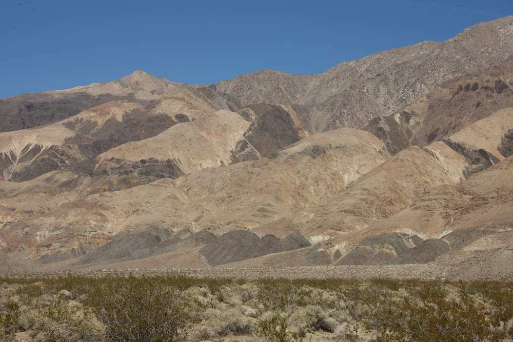
The Panamint Range was formed
due to a large uplift. The tilting of the strata are now
apparent in the rocks exposed in Goler Canyon. Note the
angle of the bedding in the photo above.
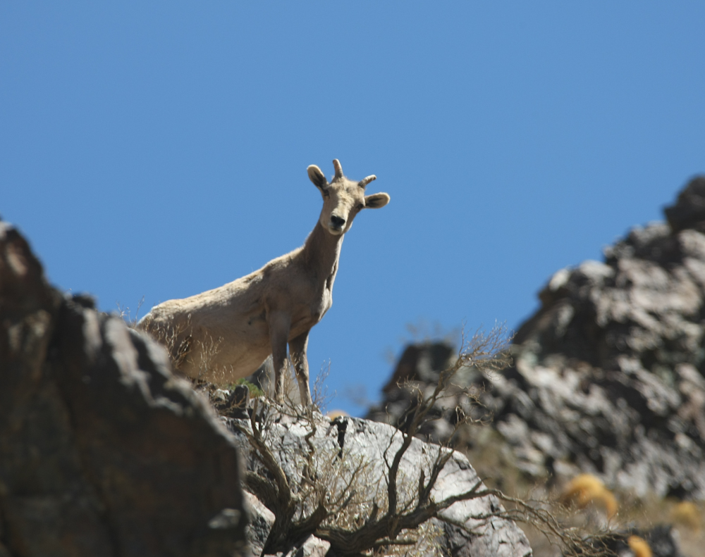
Approaching a large dropoff in
the canyon, we spotted this pregnant ewe sheep watching us
from the cliffs above.
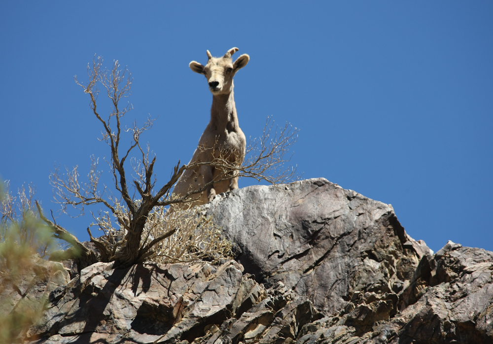
She watch us for quite a long
time and did not seem afraid.
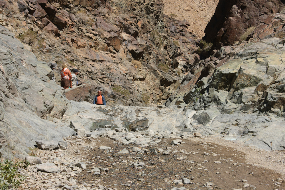
The trail had a 5 foot
waterfall that stopped these Jeepers. We were coming
downstream, so we did not even dismount to inspect it before
coming down.
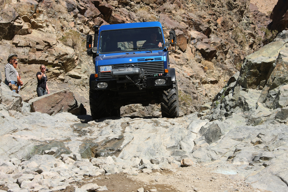
I was the first one down, so no
photos were taken. But, we did get this photo of Roberto
on the descent.
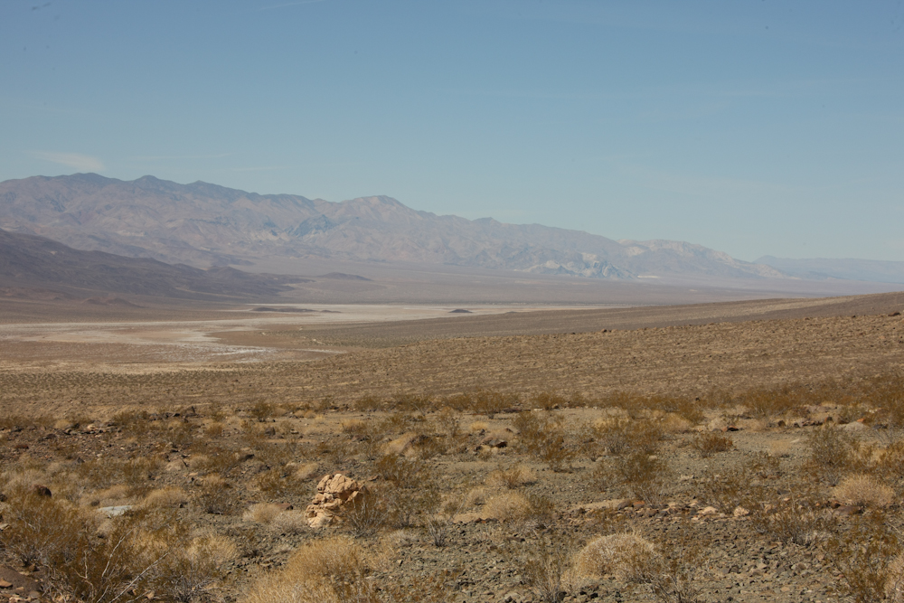
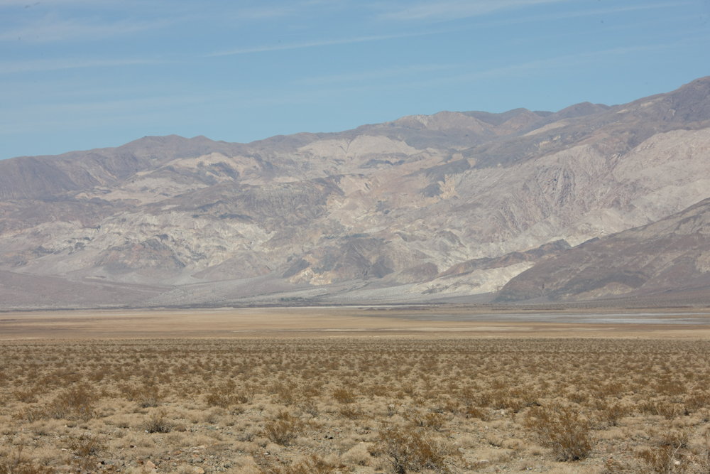
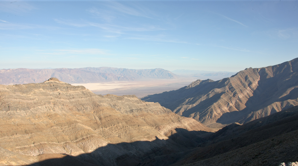
The egress from Goler Canyon
gave us a great view of the Panamint Valley.
The west slope of the Panamint
Range had heavy mineralized deposits.
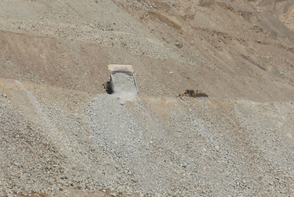
There was one big mine on the
west slope that was exploiting the minerals. The mine name
was C.R. Biggs, but it was not clear what they were
mining.
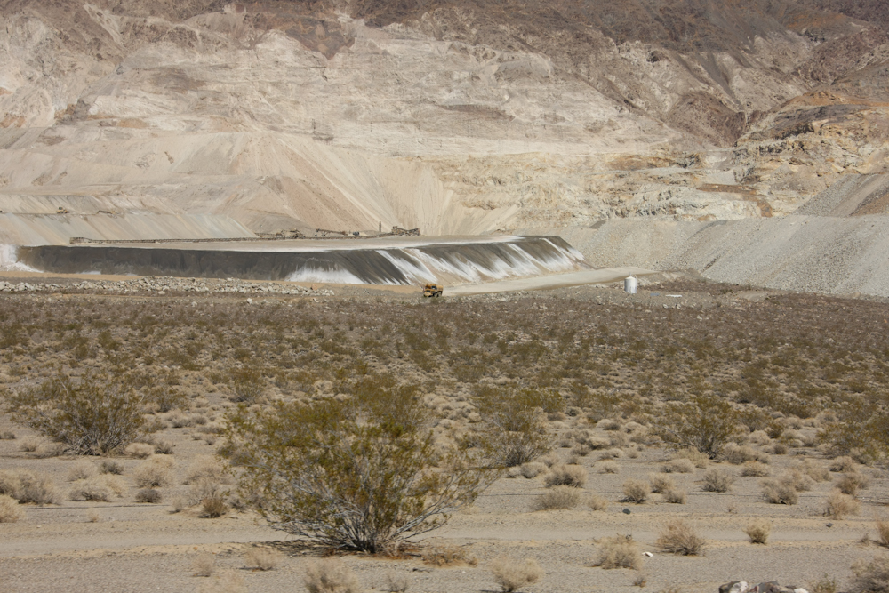
The Biggs operation was quite
large.
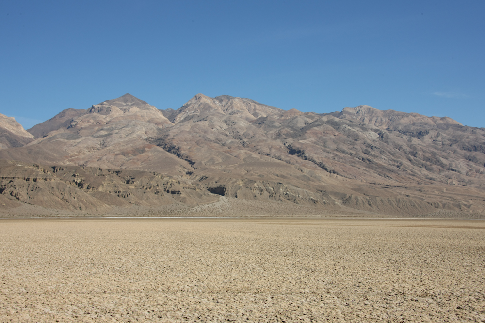
Panamint dry lake occupied the
valley floor.
From the floor of the Panamint
valley, we headed north, then east back into the Panamints to
see the charcoal kilns. Above is a view of 11,000 foot
Telescope Peak, the highest point in the range.
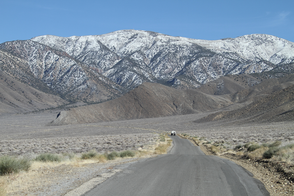
To our north were more areas of
heavy mineralization.
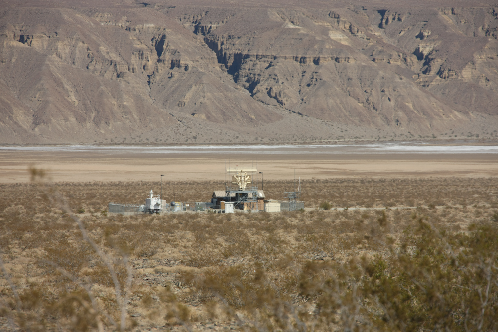
We had many
overflights from Navy jets training at China Lake NAWS.
There was a flight control radar in the valley to keep a watch
on the planes.
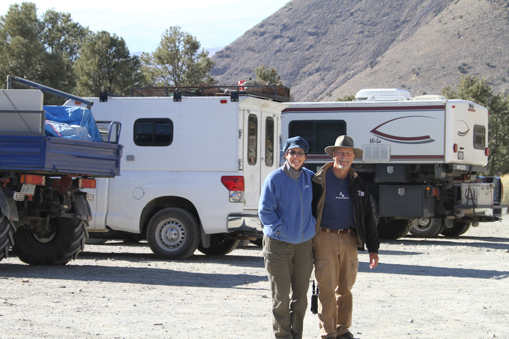
Roberto was kind enough to take
the photo above when we arrived at the charcoal kilns.
The mountains in
the area were steep and rugged.
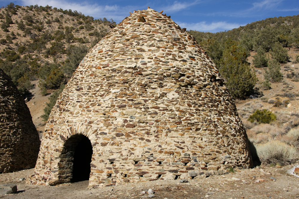
The kilns were used to produce
charcoal from pinon pine in the area. The charcoal was
used for smelters to the west of the kilns.

The kilns were built around the
turn of the century and were later refurbished by the Park
Service.
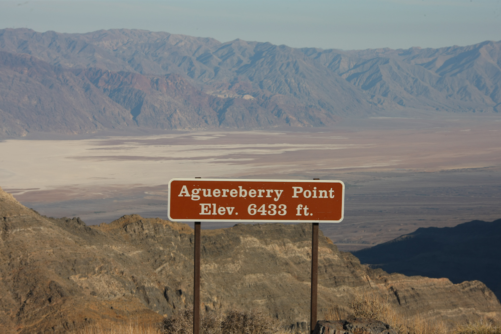
From the kilns, we headed back
into the valley, north then back into the Panamints to see
Aguereberry Point. The view from the point was stunning.
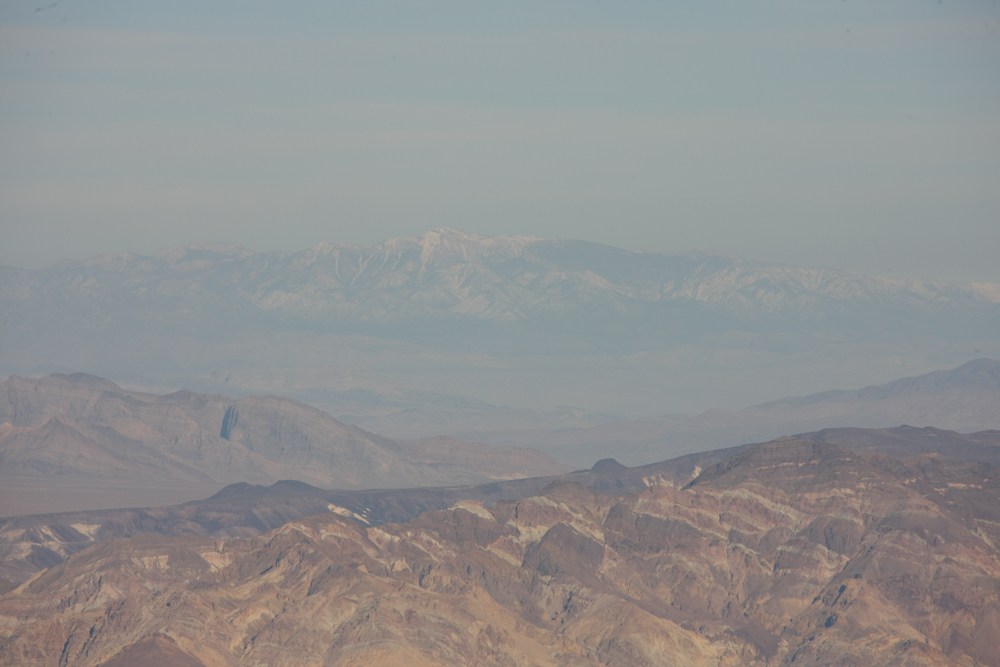
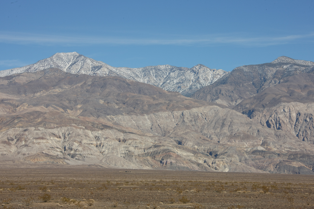
The air was sufficiently clear to
allow a view of Mt. Charleston north of Las Vegas. There
is a ski area on Mt. Charleston.
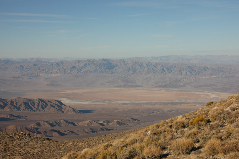
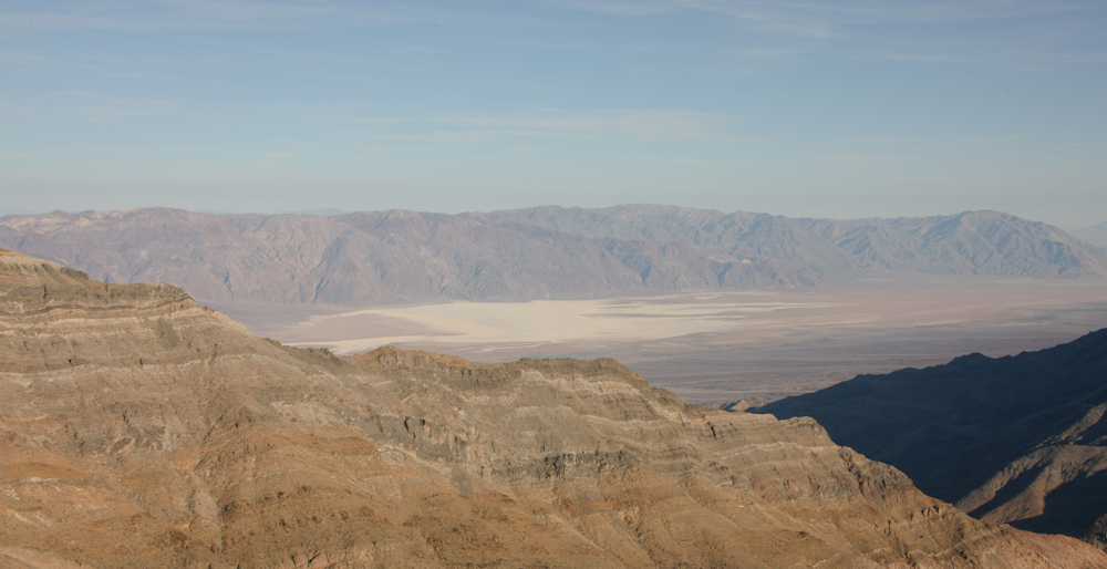
The dry lake at Badwater was
visible from the point.
To the north, we could see the
northern reaches of the valley.
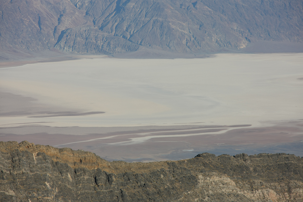
On the descent from the point, we
got a slightly different view of the valley. Note the
bedding in the rocks.
The floor of Death Valley is a quite inhospitable place.
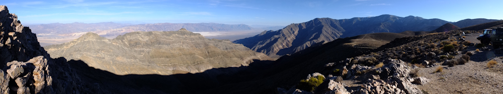
A panoramic view of Death Valley
as rendered by my new Fuji X10. A stunning vista.
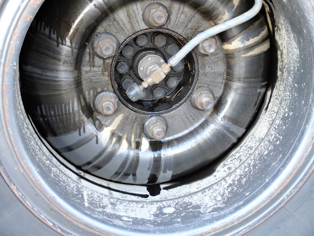
Oh no!! I was walking by Roberto's truck and noticed an oil leak. Closer inspection showed that EVERY hub bolt was loose. One was in danger of actually falling out. If these bolts had become much looser he would have had a complete loss of the wheel. And, it is tough to steer with only one front wheel. We spent about 1/2 hour tightening these bolts and refilling the hub oil. It is not clear if there was damage, but we should find out in the next few days. Sadly, I am too familiar with replacing these hubs. But, if it does fail, Roberto has a problem since he has no spare parts in his kit.
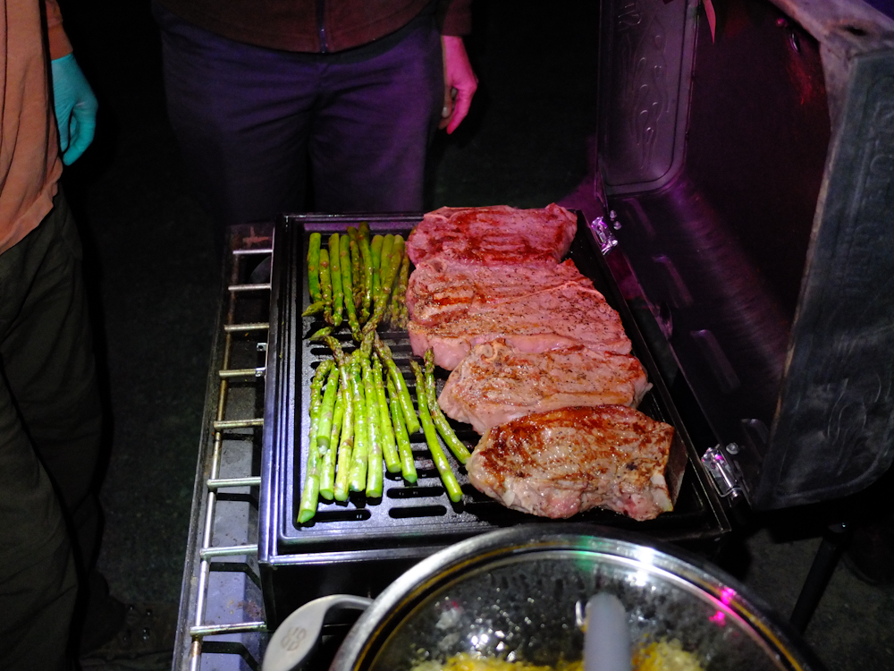
It was Roberto's turn to cook and
we had steak. The weather was nice and that allowed us
to cook outside without frostbite.
| Previous Adventure | ||
| Trip Home Page |
Photos and Text
Copyright Bill Caid 2012, all rights reserved.
For your enjoyment only, not for commercial use.