We finished our stay at
the Tahoe Valley RV park with the Tahoe-Reno Mogfest crew. We had
a great time and the weather was awesome: the temperatures were
moderate and there were no winds. From Lake Tahoe, we headed east
into the central Nevada basin and range province.
The photos below are what we saw.
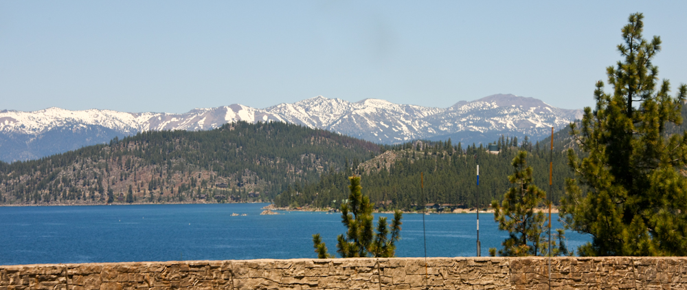
As we passed State Line,
NV we got a great final view of Lake Tahoe and the still-snowy Sierra
Nevada range in the distance.
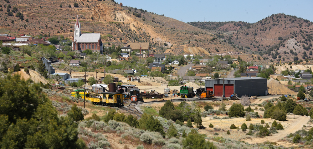
Our first stop was in
Carson City for fuel and some tasty Mexican food. From Carson, we
headed to Virginia City. We were told to check out VC by one of
our fellow moggers, Steve, who lived in the area. Above is our
first view of VC and you can see the town church steeple as well as
their tourist railroad area.
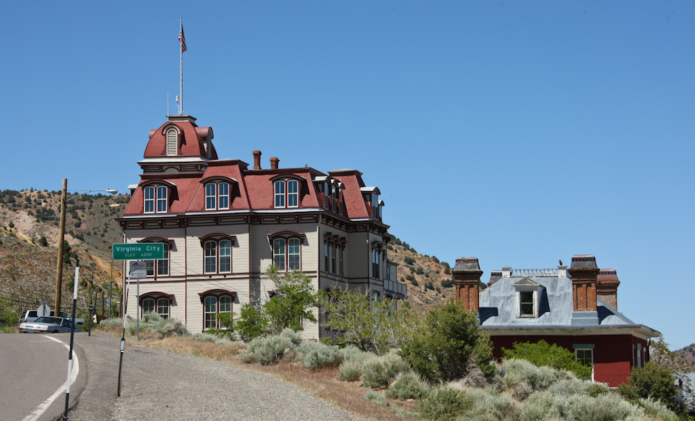
The local schoolhouse is
behind the Virginia City sign.
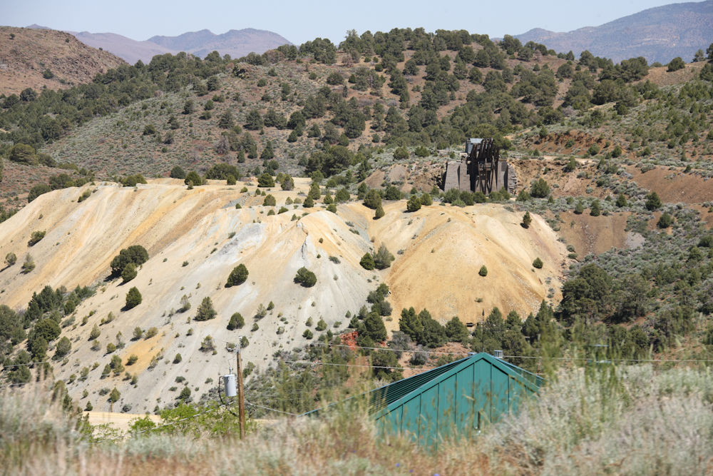
VC was built on the
mining industry and the so-called Comstock Lode (details in a later
photo). Each of the major mines in town had a network of tunnels
used to gain access to the silver-bearing ore. The spoil from the
tunnels, AKA overburden, was dumped near the mouth of the entrance
tunnel. The coloring of the spoil gives a hint as to the heavily
mineralized nature of the deposits in the mountain.
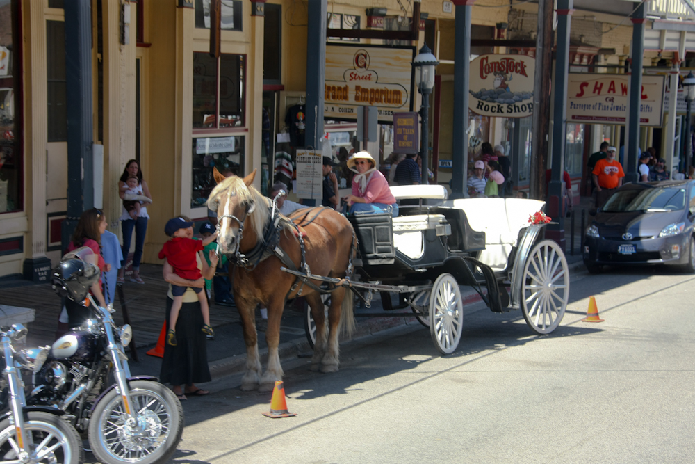
VC is a standard western
tourist town, not unlike Julian, CA near San Diego. There were
all manner of tourists and things that tourists like - restaurants,
bars, carriage rides, etc.
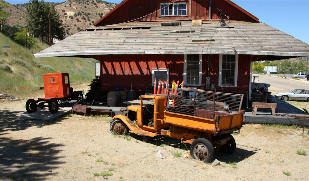
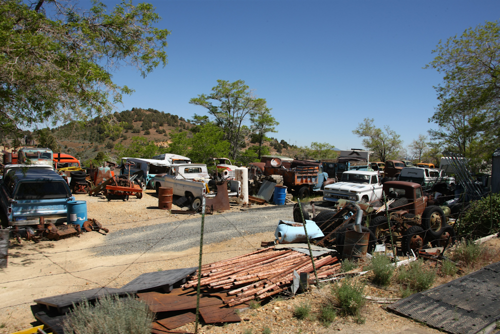
Some of the older
buildings had interesting relics nearby. Above are some pretty
old trucks used as part of the mining efforts.

The photo above tells the
story of the Comstock Lode.
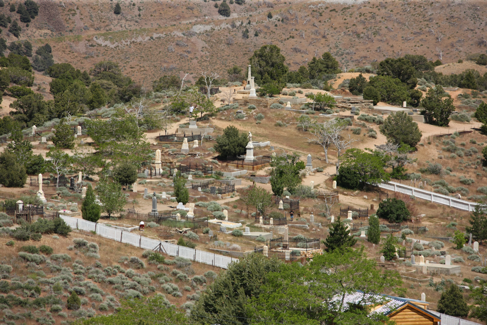
Virginia City's cemetery
was visible from the main street in town.
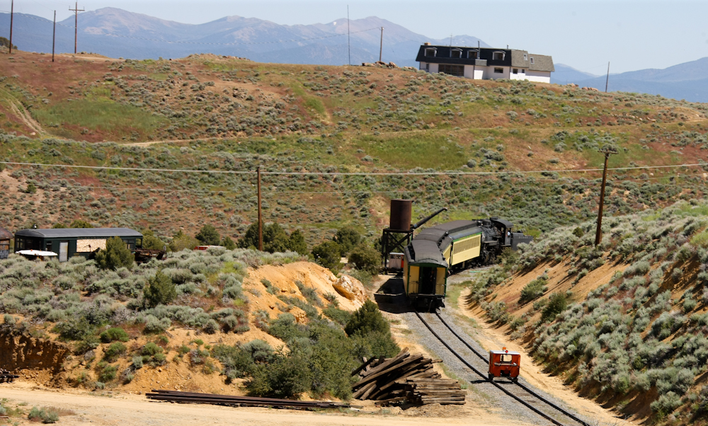
While we were exploring
town, the tourist train left the depot followed by the fire-control
"speeder". The speeder has fire extinguishers on board and puts
out any fires caused by cinders expelled by the steam engine.
Sometimes, I have trouble
distinguishing between "relics", "antiques" and "yard cars". This
yard had all of them.
From Virginia City, we
headed east on US-50 toward Silver Spring. From there, we headed
south on US-94A toward the Carson River. We found an acceptable
campsite near the river. The area around the river was
semi-flooded due to the heavy spring runoff.
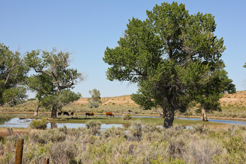
The view west from our
campsite provided a classic western scene of pasture, cattle and
snow-capped peaks.
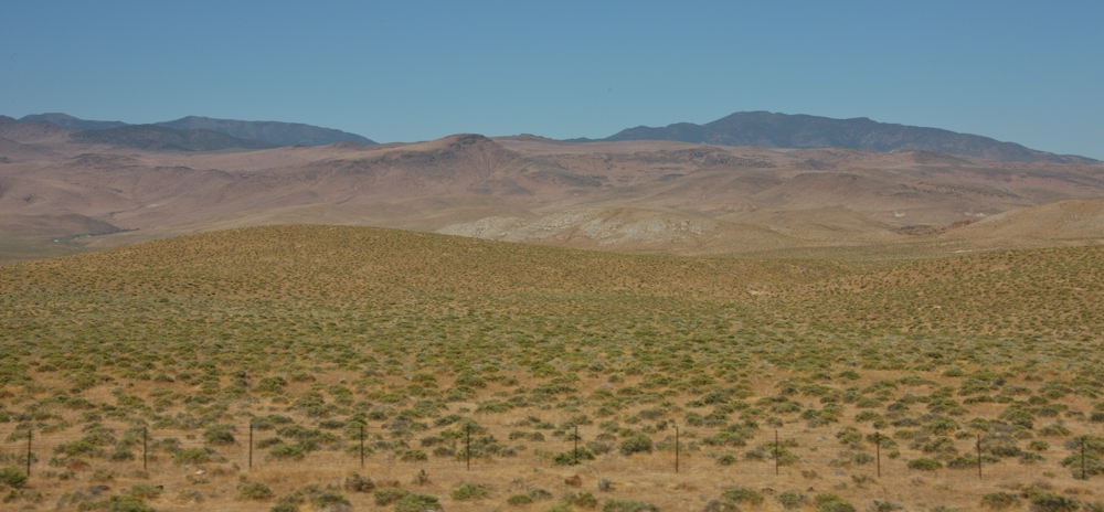
The night in camp was
quiet and the temperatures were mild. The next morning we
continued south along US-95A. Our plan was to hit the dirt at the
soonest opportunity. Along the way we got great views of the
sparse vegetation typical of the basin-and-range province.
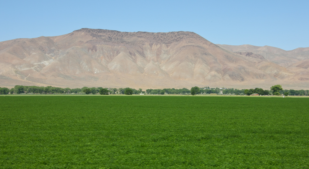
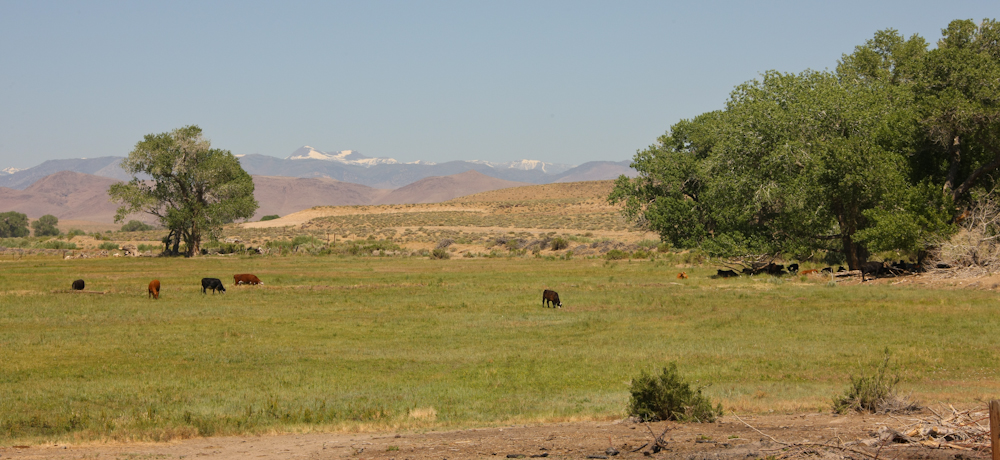
In the Yerington Valley
there were some nicely irrigated fields that were rich with alfalfa.

After 30 miles or so of
good dirt road we spotted the Flying M ranch. The ranch area is
in the trees at the base of the mountain. The ranch was remote
enough that it had it's own airfield where the owners use the plane to
commute to civilization.
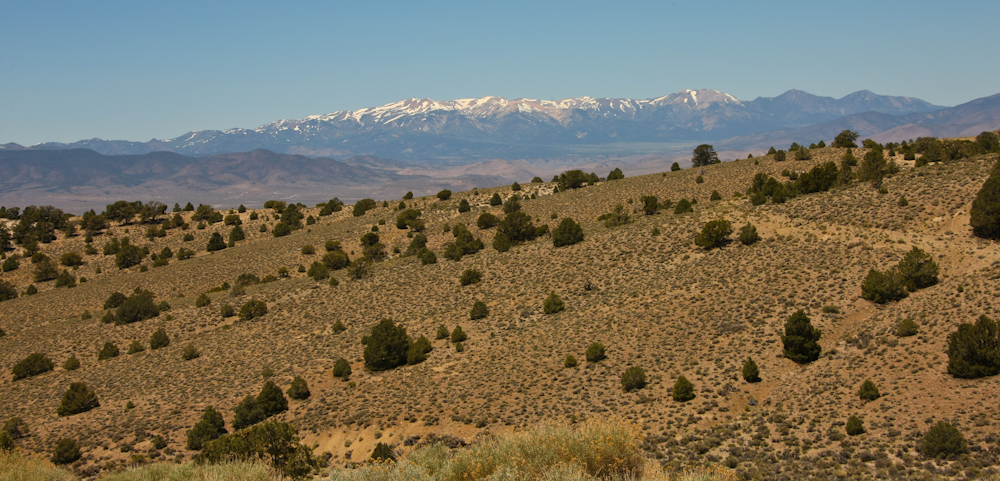
We followed the dirt road
along the Walker River and got some nice views of the still snow
covered peaks of Bald Mountain.
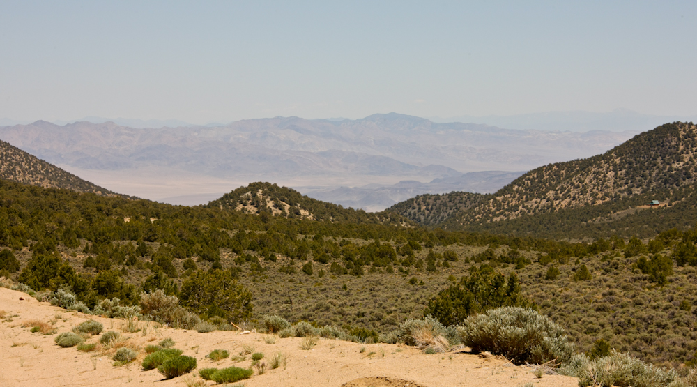
We traveled through a
number of passes and valleys and finally crested out on Lucky Boy pass
at 8,000 feet. Lucky Boy pass produced great views of the valley
near Hawthorne, NV.
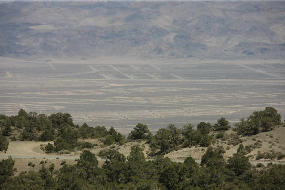
Hawthorne, NV hosts the
army's ammunition depot and has it's own railroad line to service
it. The photo above shows the individual storage areas.
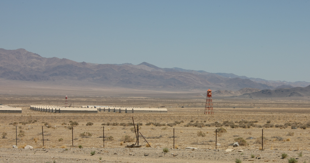
We descended a very steep
dirt road to get to the valley floor and finally got a clearer view of
the individual storage buildings. We got food, fuel and ice in
Hawthorne and then headed south on US-95 to the seething metropolis of
Tonopah, NV.
It was a long haul to
Tonopah and it was getting close to sundown. We asked around
about camping areas and were totally unimpressed with what we
saw. We crossed paths with a local cowboy and he suggested that
we head up to the Monitor Range to spend the night. We drove for
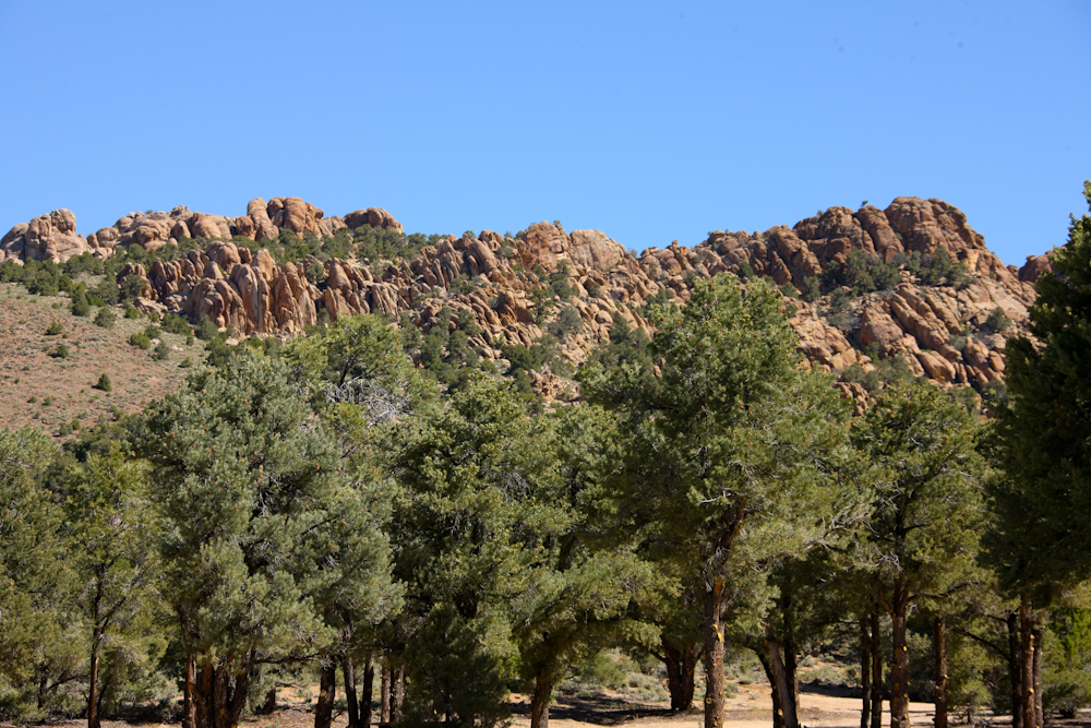
about an hour to get to the ghost town of Belmont, NV and found a
reasonable place to camp in the pinon pines. Above, you can see
the interesting rock formations near our camp.
The night at Belmont was
calm and cool. The next morning, we decided to follow the dirt
over the Monitor Range to the next valley and then south to US-6.
Going over the pass in the Monitor Range, I managed to break my
passenger mirror on trees that had overgrown portions of the
trail. Once we hit US-6, we headed east until we hit NV-375.
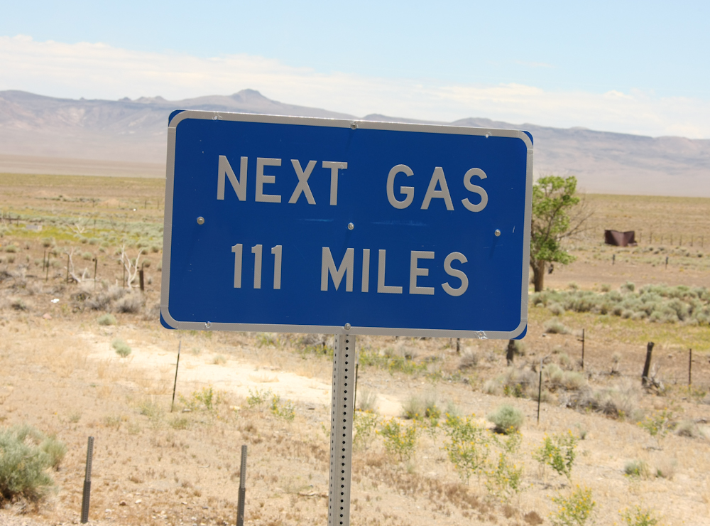
At the junction of US-6
and NV-375 we encountered the ominous sign.
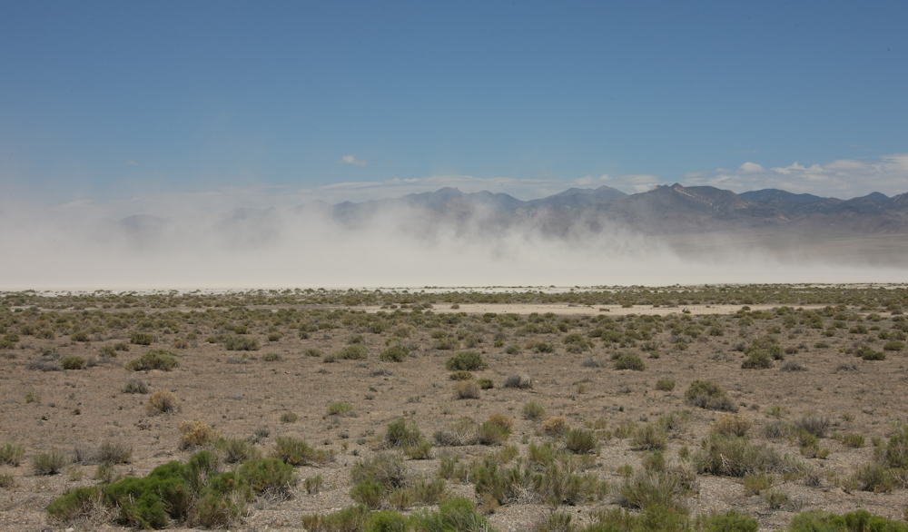
The wind had been howling
for hours and I was estimating wind speeds of 40-50 mph. It was
blowing us around the road pretty good and stirring up large amounts of
dust from the alkali dry lake. The dust had our eyes watering and
our noses running.
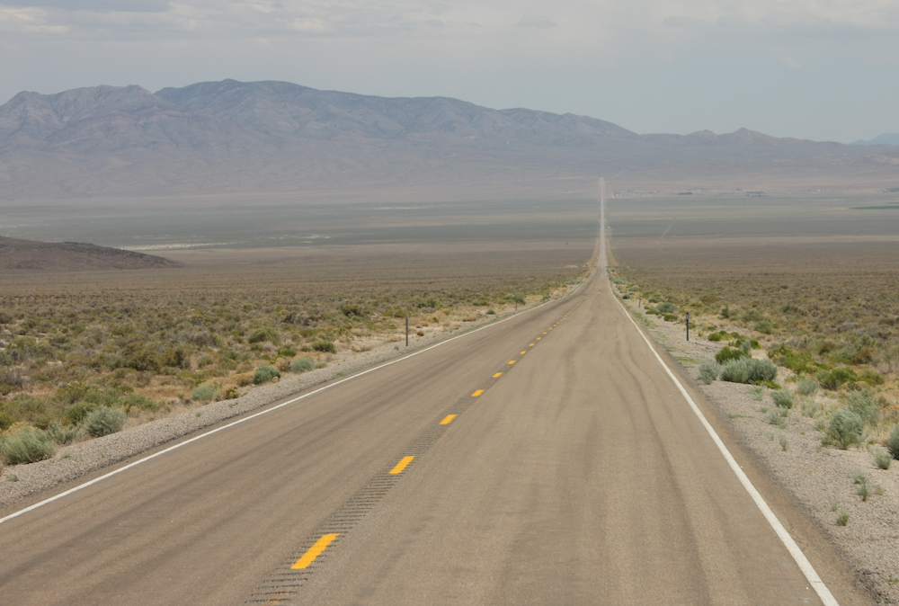
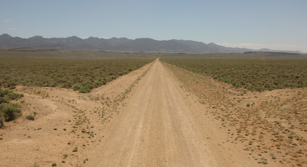
So, I wonder where the
road goes? Some of the valleys had laser-straight roads that went
across to the next range of mountains.
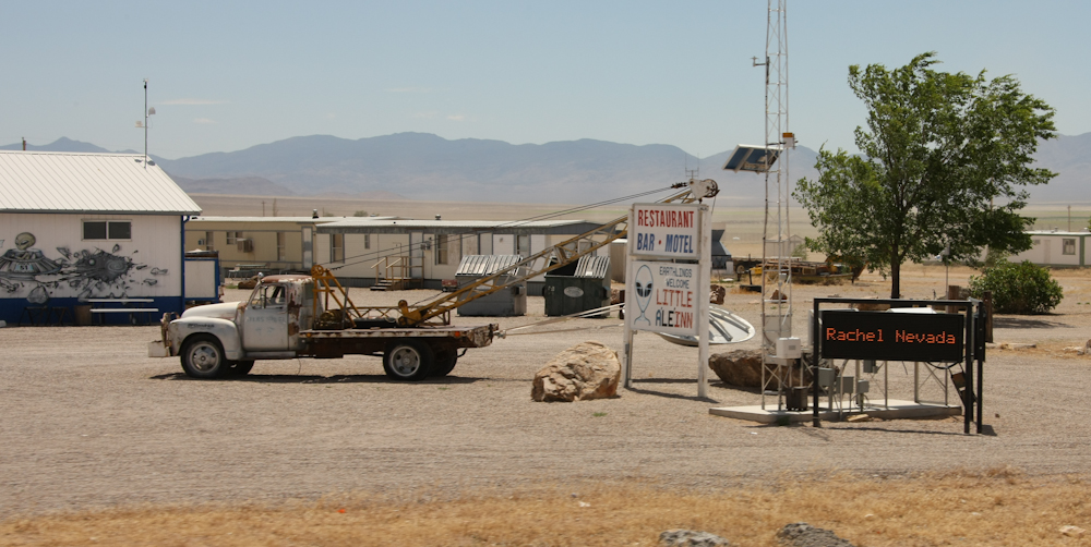
After a number of basin
and range pairs, we made it to Rachel Nevada. Rachel is on the
so-called Alien Highway. I am guessing that name came from some
of the classified military aircraft that were tested at the Groom Lake
facility over the mountains to the south. I thought that the name
"AleInn" was interesting.
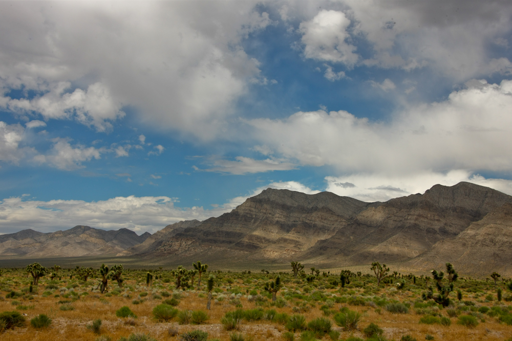
The strong winds brought
some clouds that provided interesting contrast to the mountains.
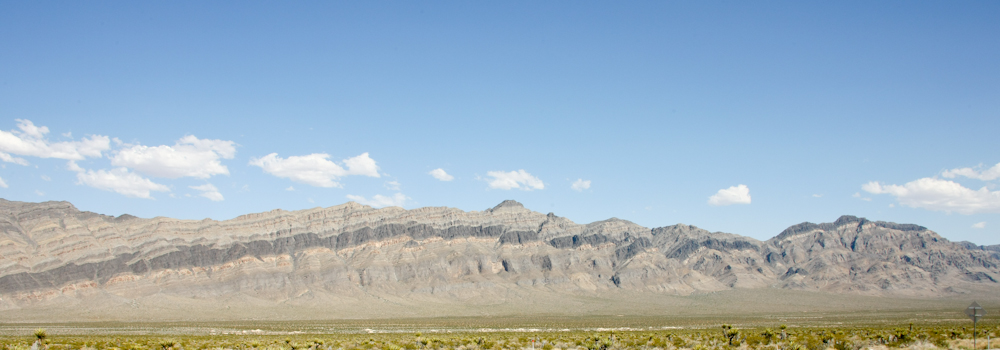
Eventually, we hit US-93
and headed south to Las Vegas to see some friends. Along the way,
the bedding of the mountains provided a nice layer-cake look.
We had a nice time in
Vegas and headed south the next day. Sadly, it was ugly-hot (105)
and very windy still. Our 1017 does not have a/c in the cab and
so travel was not so pleasant. We traveled out of Las Vegas to
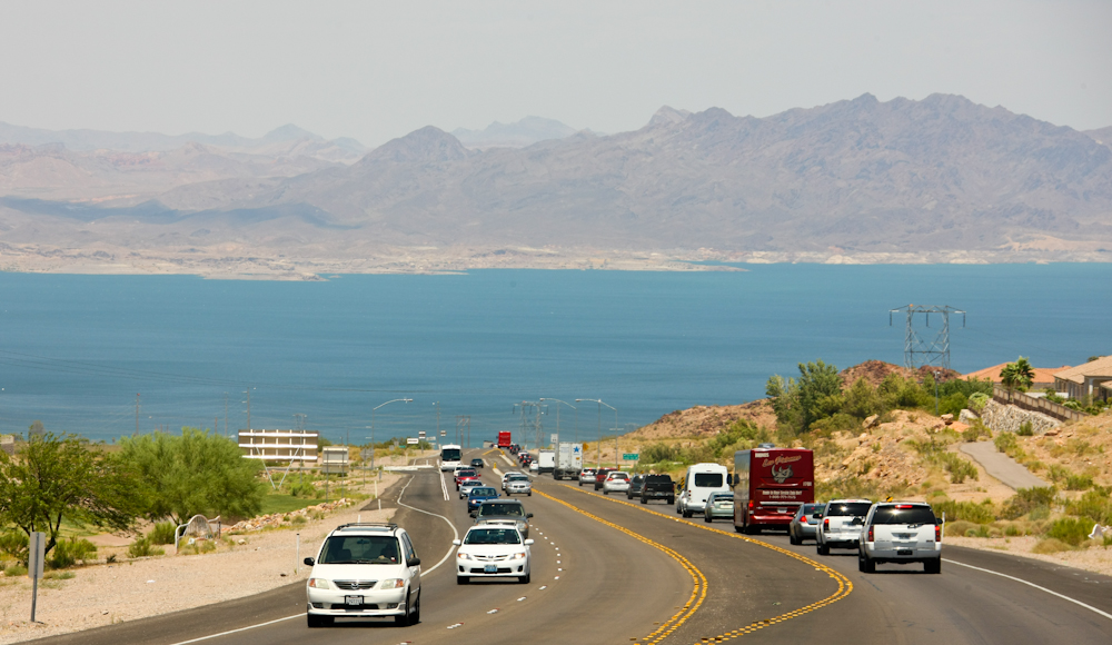
Boulder City and took on food, fuel and ice. From Boulder, we
headed toward the river crossing on Lake Mead. Above, Lake Mead
is visible from the main road out of Boulder.
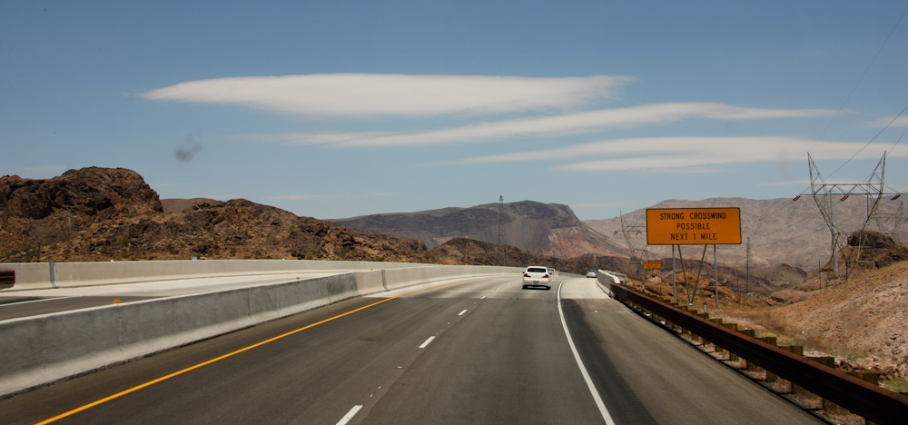
The high winds generated
lenticular clouds over the nearby mountains. The sign on the
bridge caused us to be cautious.
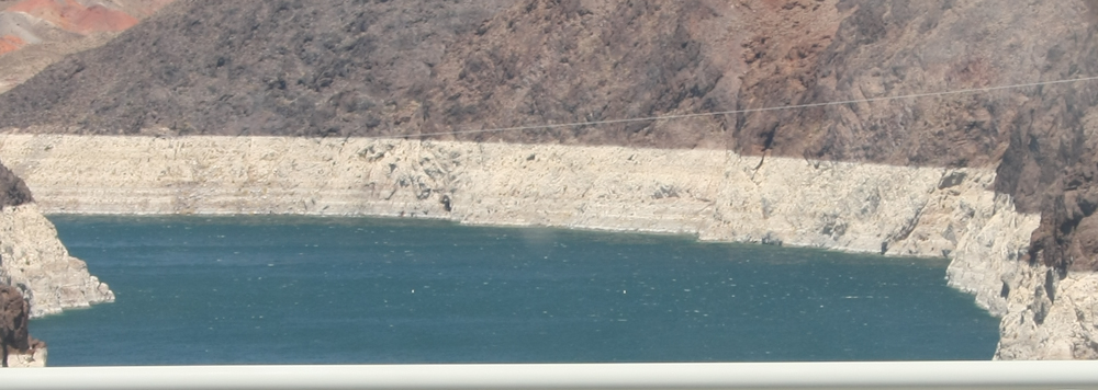
Despite high spring
runoffs from the winter snows, Lake Mead is still way, way below
full-pool. The white "bathtub rings" on the cliff walls show how
low the reservoir is. From Lake Mead, we continued south to
Wickenburg, AZ and a nice RV park.
After our really-hot
night in Wickenburg, we headed south toward Phoenix and Tucson.
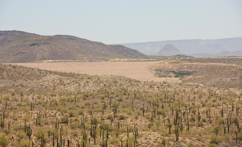
Along the way, we passed the Paradise Valley reservoir dam that was
built as part of the Central Arizona water project in the 1980s.
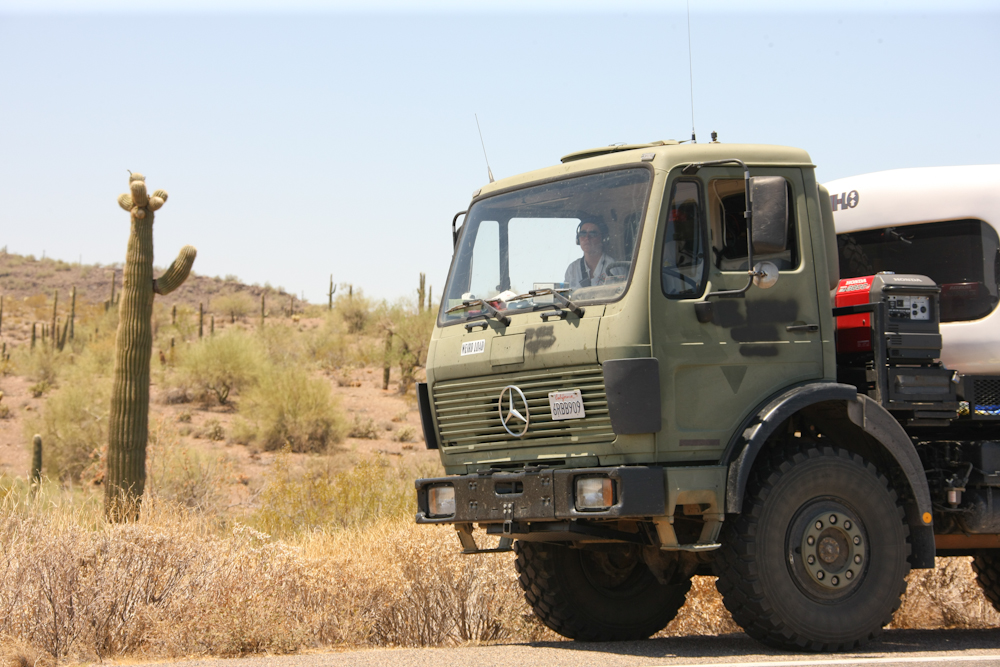
The 1017 looks quite
imposing next to the local sahauro cactus.
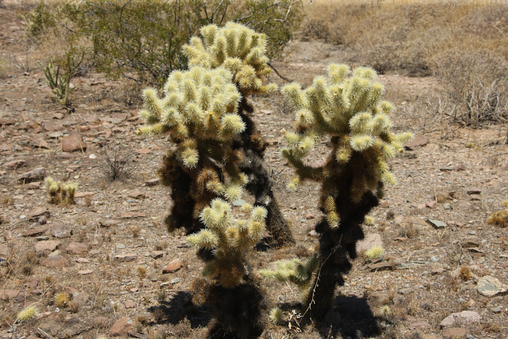
Cholla are pretty, but
the true bane of the desert. The pods are spiny and unforgiving.
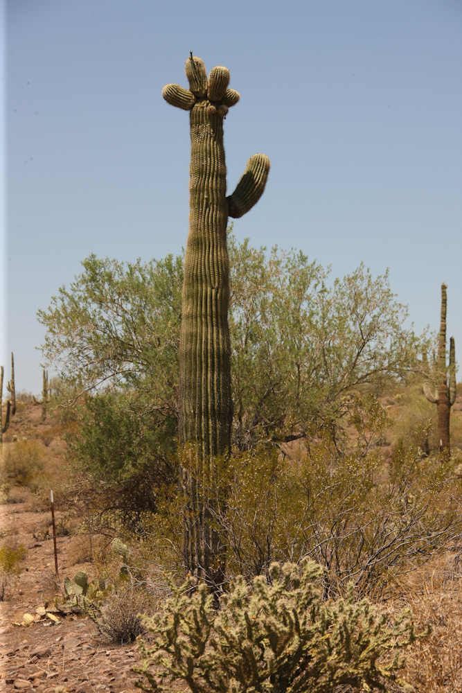
The sahauro cactus is the
state symbol for Arizona.
| Previous Adventure | ||
| Trip Home Page |
Photos
and Text Copyright Bill Caid 2011, all rights reserved.
For your enjoyment only, not for commercial use.