We stayed the night at a
"normal"
RV part in Crescent City, CA. The next morning, we headed
south
along U.S.101 to Arcata to see a long-time friend Mark. We
stayed
a night and most of the next day and then continued down the
coast.
The photos below are what we saw.
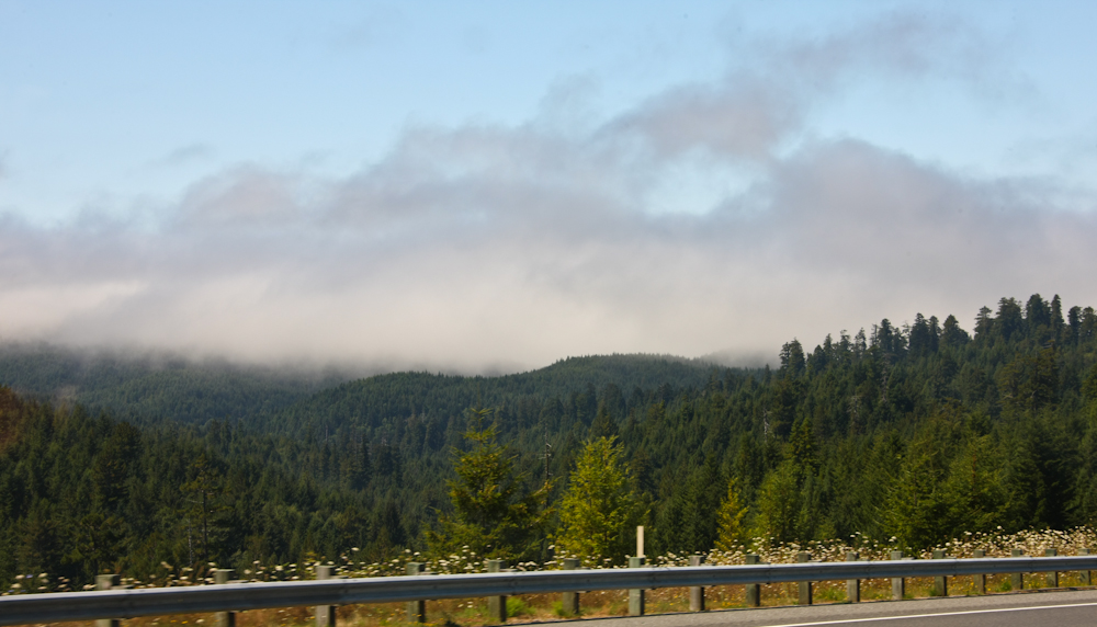
One interesting attribute of
the
coastal areas is fog. It is "cool" in some ways, but it
does
block visibility. And, if you are traveling at night it
can
create a white-knuckle drive out of an otherwise easy
road. We
encountered patches of dense fog as we left the Crescent City
area and
headed south.
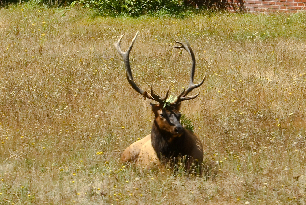
The road signs warned about
elk,
but I have leaned to ignore the warnings. This time, the
sign was
right. I have always wondered how they get teach the elk
to do
what the signs say. There was a nice buck close to
the
highway.
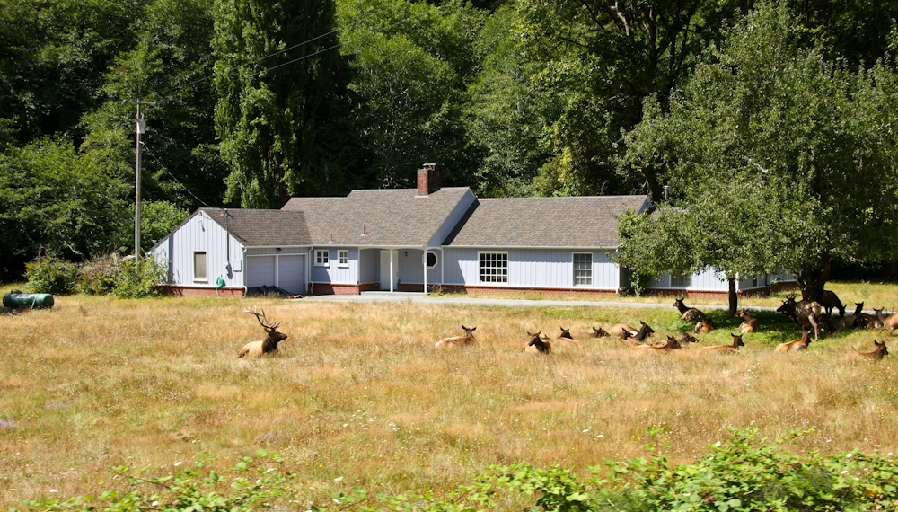
The herd was resting in the
front
yard of one of the houses in the area.
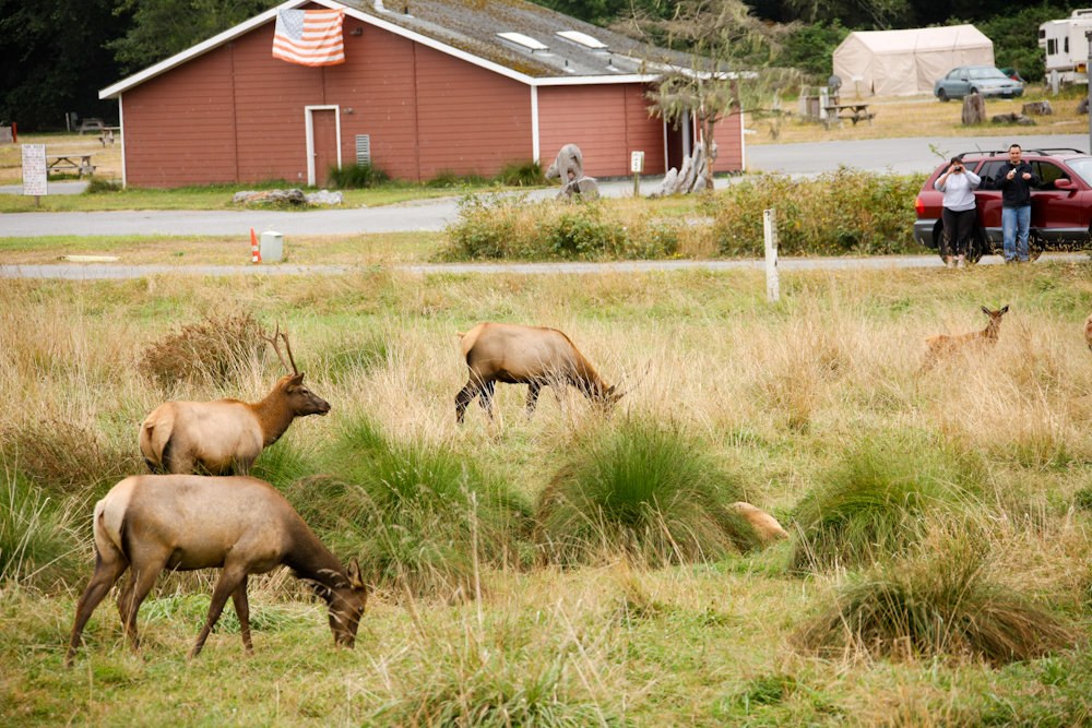
The side effect of the herd was
that it caused a traffic jam of folks taking photos of the
animals.
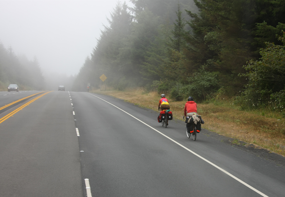
We encountered many bicyclists
on
U.S.101. I fully understand the appeal of a bike road
trip.
But, the concept of cars and trucks whizzing past you at 60 mph
only
inches away gives me the creeps.
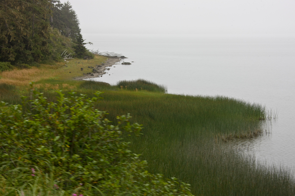
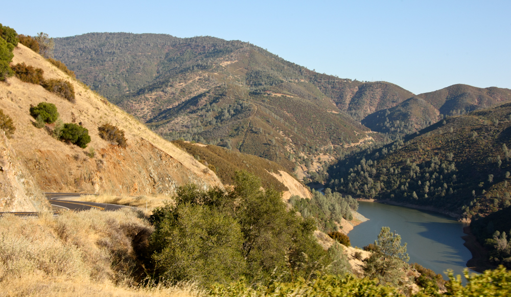
The highway passed coastal
lagoons
that had nice reeds. We stayed with our buddy Mark at his
place
in Arcata and had an awesome dinner at a local Italian
bistro.
Late the next day, we motored south and then inland into the
Coast
Range. We stayed at Grizzly Creek and then continued our
trip to
the east toward the central valley. Passing over the Coast
Range
was very slow going and the road had steep grades.
Finally, we
made it to the I-5 corridor and headed south into the Sacramento
area
where we stayed at a KOA. KOA usually has nice facilities,
but is
always pricey. This one in West Sacramento was no
exception.

From Sacramento, we headed
toward
Mariposa to see our unimog friends John and Glori. We took
a
winding route that took us through the communities along the
foothills
of the Sierra Nevada. Outside of Sonora, we passed this
cross-country team from the local high school hoofing it along
the
highway
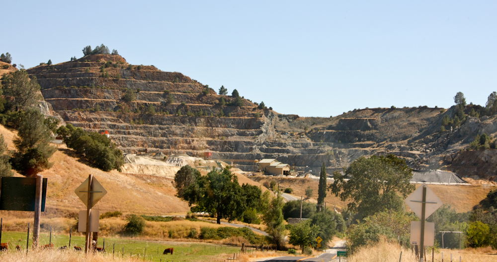
Further south we passed this
significant mine right next to the road. The foothills
area is
sometimes referred to as "Gold Rush" country due to the gold
rush of
1849 when gold was discovered near Sutter's Mill. The Gold
Rush
changed the west forever.
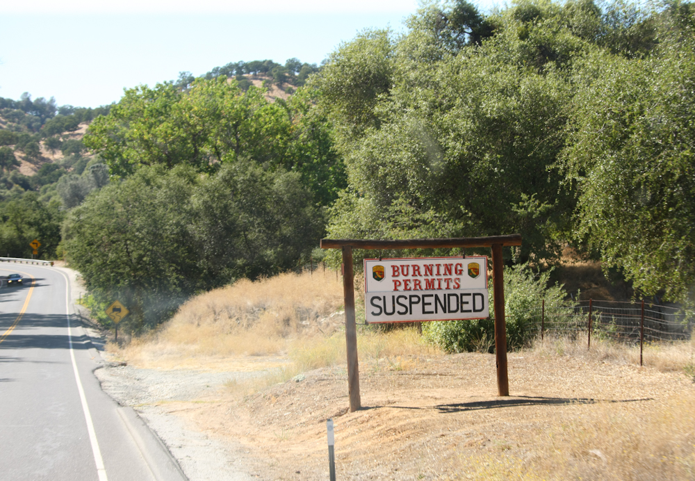
Further south we spotted this
sign. Unlike the coastal areas, the foothills are nearly
always
dry and fire is an ever-present danger.
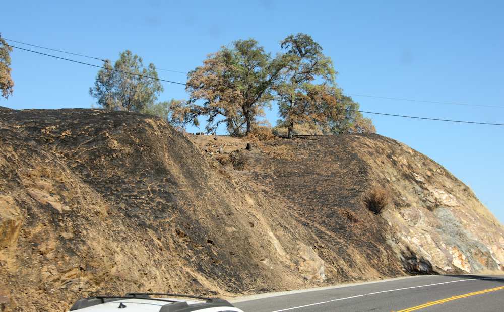
Why the burning permits were
suspended. This fire was clearly caused by a smoker
tossing his
lit cigarette but out the car window.
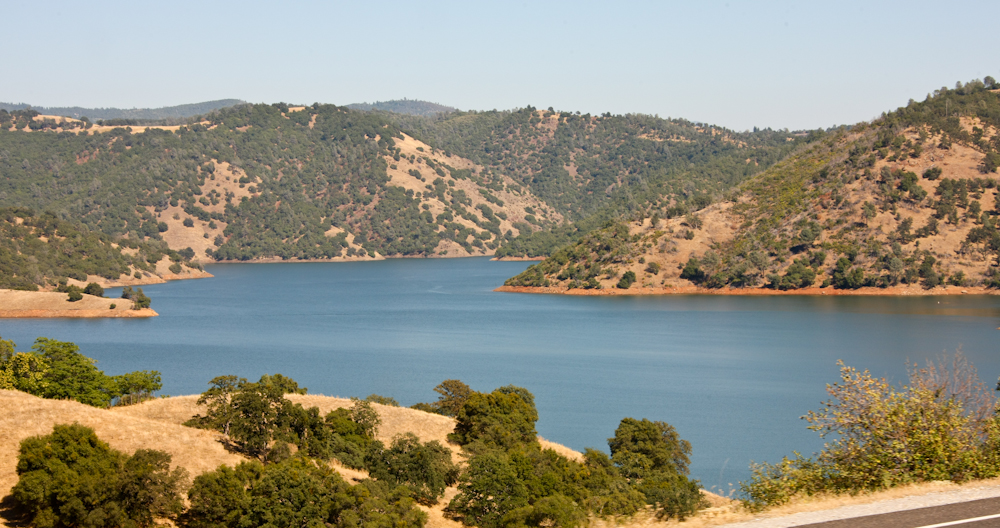
The foothills of the Sierra
have
real rivers that drain the winter snow melt. Many
reservoirs have
been constructed over the years both to control flooding and to
provide
water in the dry months. Above is a small portion of New
Melones
reservoir.
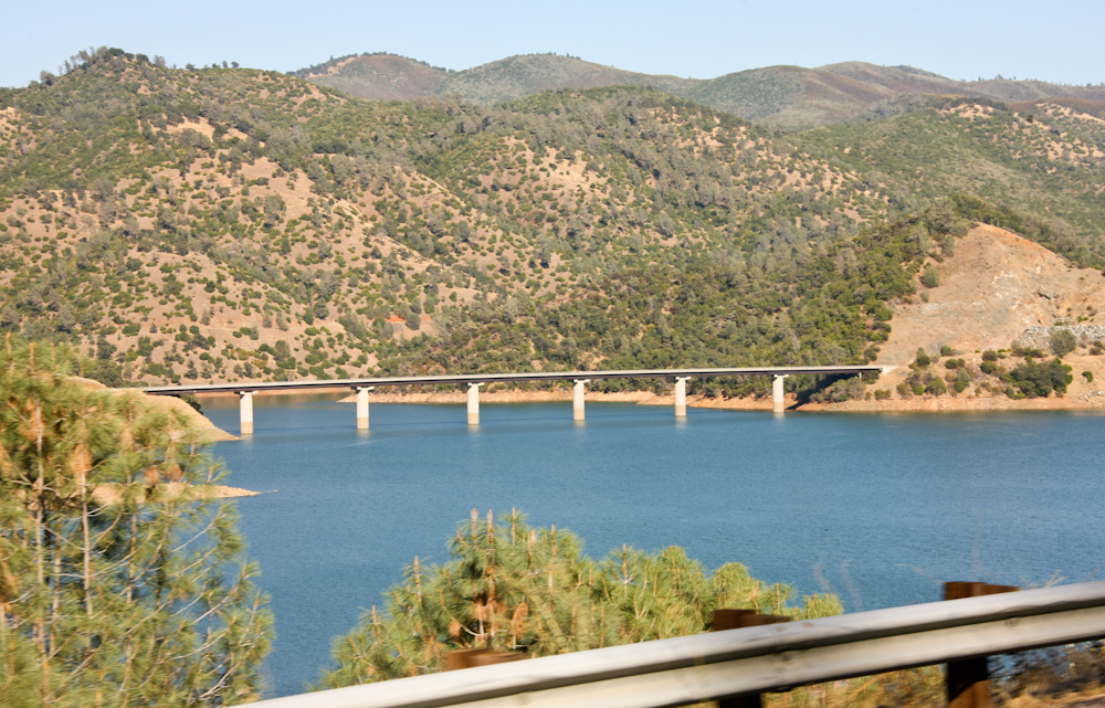
A number of bridges were
constructed to allow passage over the reservoir.
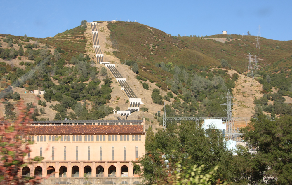
Further south, we passed the
Moccasin Powerhouse that is part of the Hetch Hechy project.
We wound our way through the
hills
on a steep narrow road. CA 49 gave the truck a workout,
but
offered some great views. Above is another reservoir we
passed.
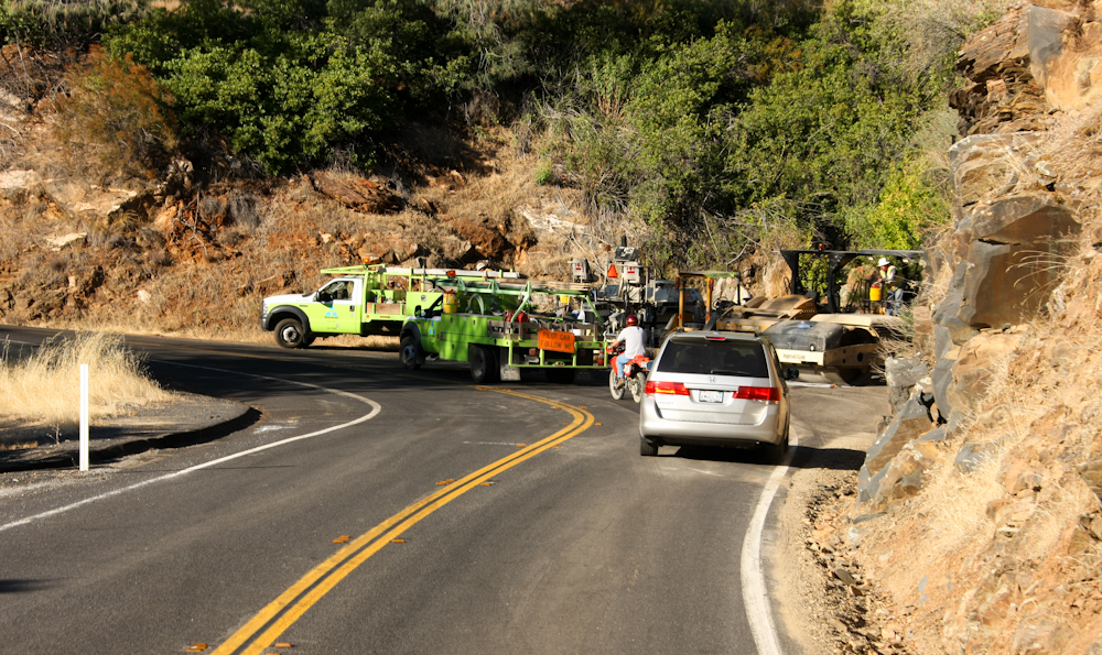
We passed a number of road
construction gangs that caused us significant delay.
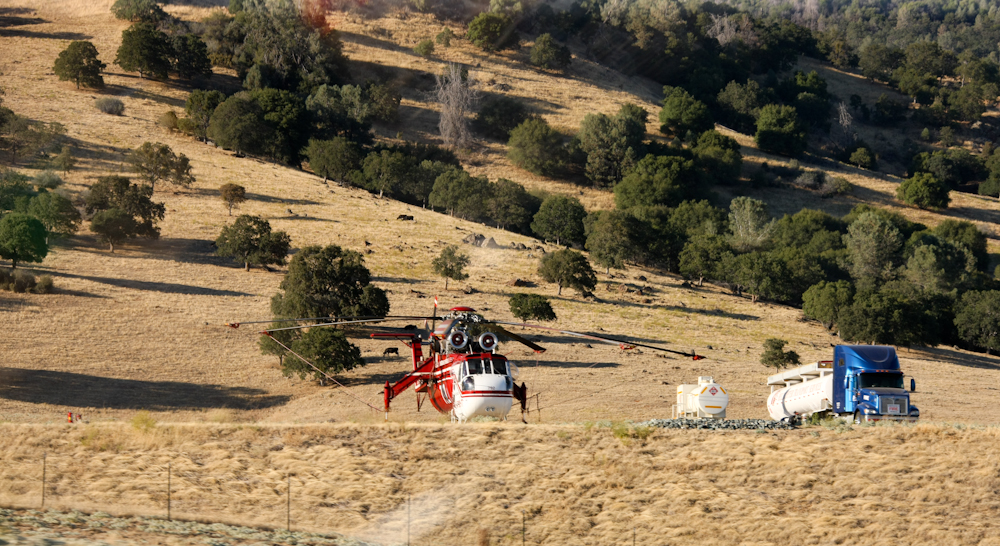
Near Mariposa, we passed yet
another fire fighting base used by helicopters. This base
had 2
Sky Cranes and plenty of ground support equipment. We
spent the
night with John and Glori in Mariposa and headed out the
following
morning.
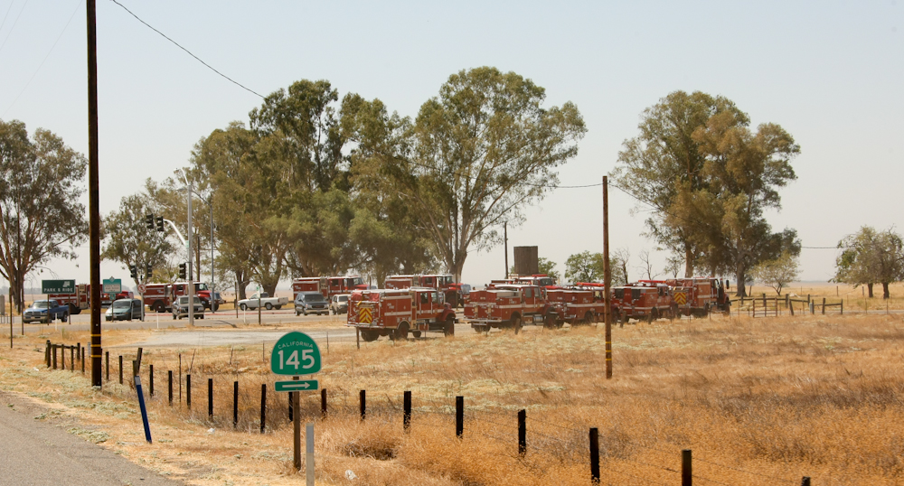
We passed many, many fire
engines
south of Mariposa. Some were oncoming, some passed us and
others
were at the side of the road.
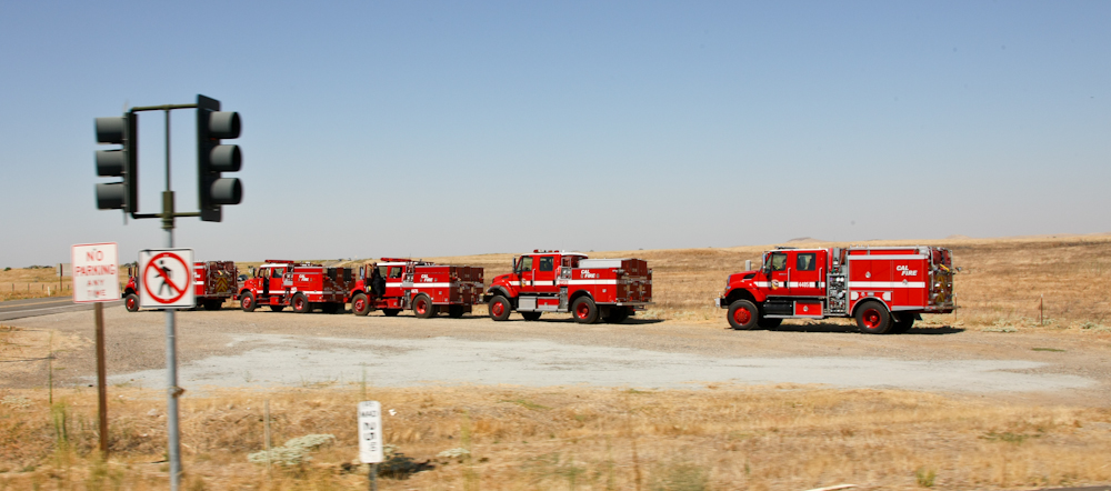
We continued to see these rigs
for
several hours.
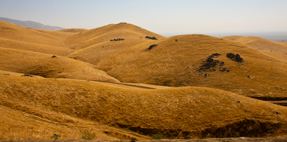
We continued south along CA 99,
then east over the Tehachapi Pass. The rolling grasslands
were an
interesting contrast to the oak tree covered hills we had passed
earlier in the day.
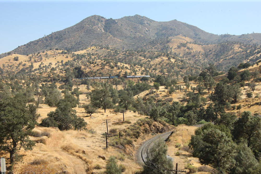
Further up Tehachapi Pass, we
encountered one of many freight trains traveling up the famous
Tehachapi Loop grade. The tracks cross over themselves in
a loop
due to the steep terrain.
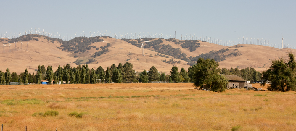
In addition to the Loop, the
Tehachapi area is also famous for its wind farms. The wind
blows
strong and frequent in this area and the ridge lines of the
hills were
crowded with windmills. Note the very large mill in the center
of the
photo above.
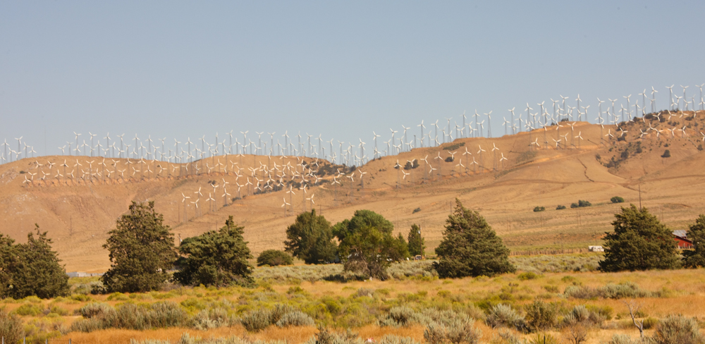
Most of the mills were of
nominal
size, but they did come in small, medium and large sizes.

Most of the ridges of Tehachapi
Pass were covered in structures.
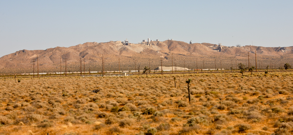
Further east near Boron, CA we
passed significant infrastructure associated with the borax
mines. U.S. Borax was sold to Rio Tinto mining, but they
still
use the Twenty Mule Team Borax brand. From Boron, we
headed south
to Hesperia, CA to see another mogger, Norm.
We had a nice dinner with Norm
and
Mary and got a chance to see his current projects.
The
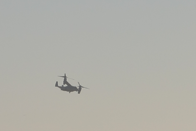
following day, we headed south along I-15 to San Diego.
Once we
saw the V-22 Osprey aircraft, we knew that we had made it back
home.
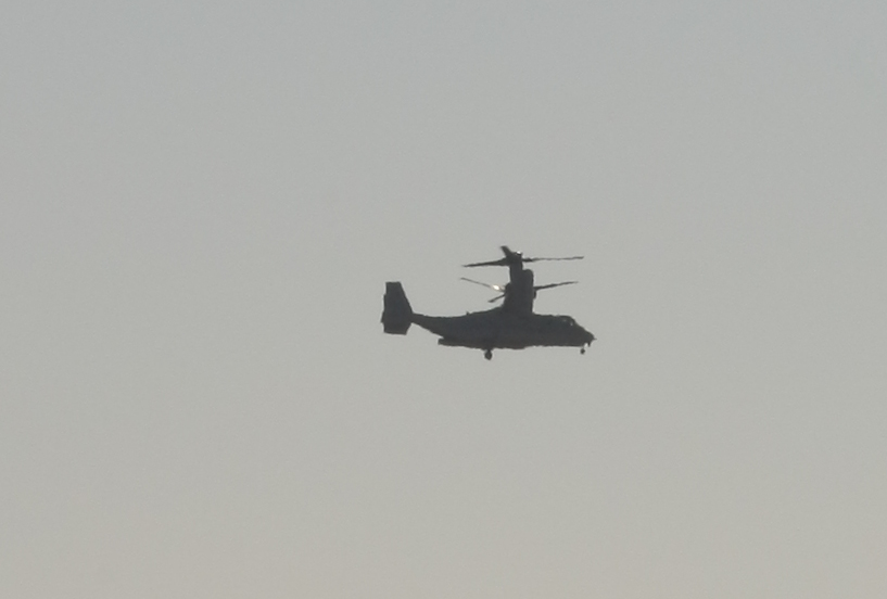
The V-22 training facility is run out of MCAS Miramar and we passed this bird doing go-arounds near the base.
We had a great time on this trip, but it was nice to return home. We actually cut the trip short to meet the new owner of my 1300L and provide him a briefing on the truck's care and feeding.
My neighbor had been caring for the house in
our
absence, so things were in great shape. The 1017 ran well
and
only had a few minor issues during the trip. The primary
issue,
the clutch master cylinder, was a known problem before we
departed and
I had parts shipped "down the road" and we installed the parts
at Rob
and Erin's place. The fuel issue we encountered at NWMF
was
simply that the primer pump had come loose and allowed air into
the
fuel lines. The fix was as easy as re-tightening the
handle.
| Previous Adventure | ||
| Trip Home Page |
Photos and Text
Copyright Bill Caid 2011, all rights reserved.
For your enjoyment only, not for commercial use.