After the heavy rains the night before, we hiked around the camp area to look for damage. There was none. Despite the high water flows in the arroyo, it was not sufficient to damage the road or the bridge into the site. So, we packed to leave and went up the road into the National Monument and and then went into the Chiricahua range through Jesse James Canyon.
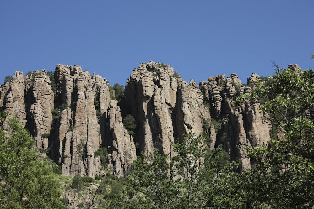
The Chiricahua mountains means "land of standing rocks". The eruption of the Turkey Creek caldera many thousands of years ago left the area covered with rhyolite which then eroded through freeze-thaw to produce these fantastic structures.
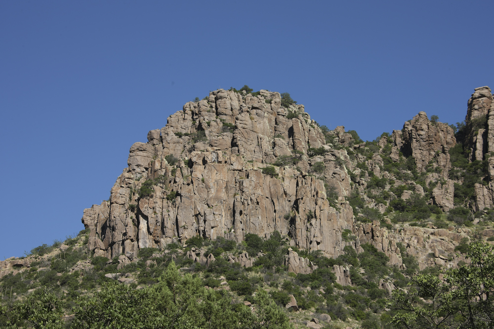
Several of the flows produced large headlands.
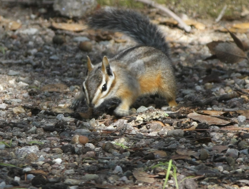
A camp visitor came by to seek handouts but found none.
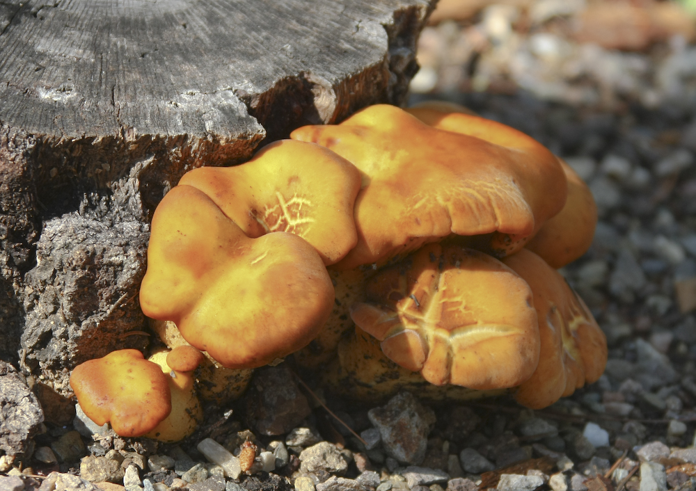
Many areas had interesting mushrooms.
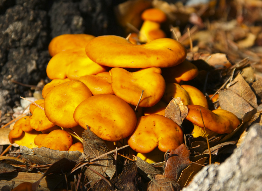
The mushrooms appeared in clusters as the bulk of the organism is underground and the spore-producing heads are the only visible part.
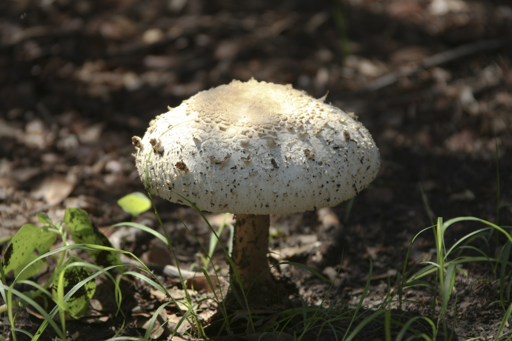
The cap shown in the previous photo set, opened over night.
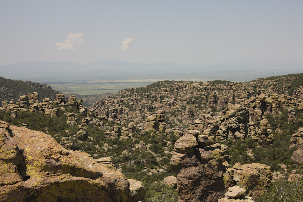
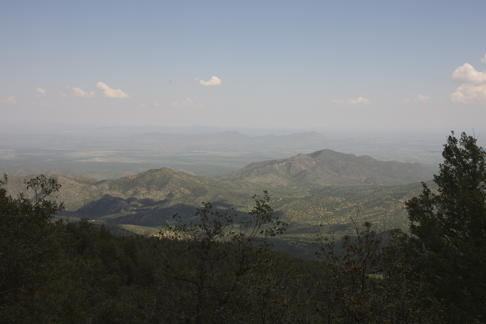
The road to the top of the monument provided expansive views of the valleys to the east and west. The photo above shows the view to the west toward the Sulphur Springs valley with an abundance of pinnacles visible in the foreground.
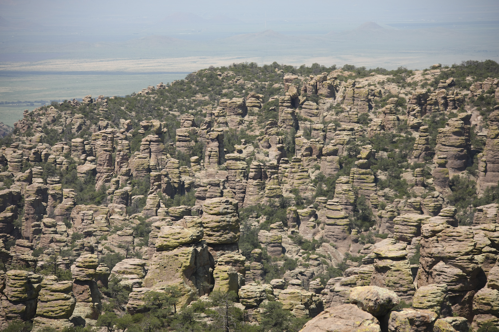
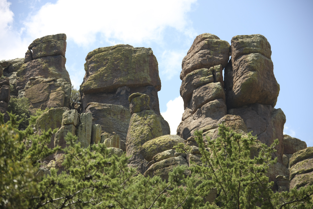
A closer view of the pinnacles reveals a general structure to them.
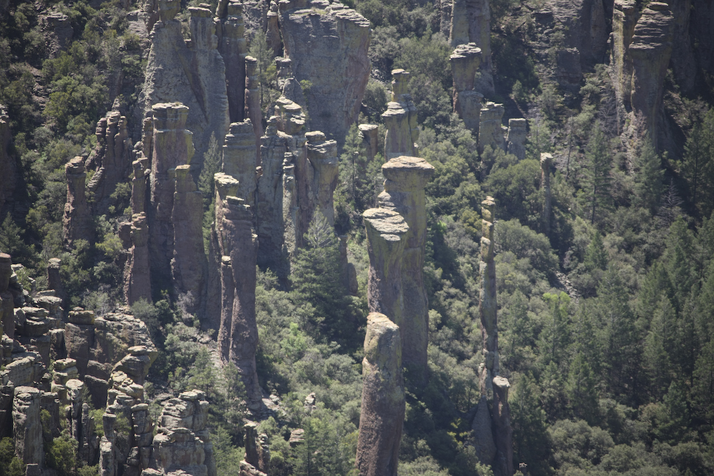
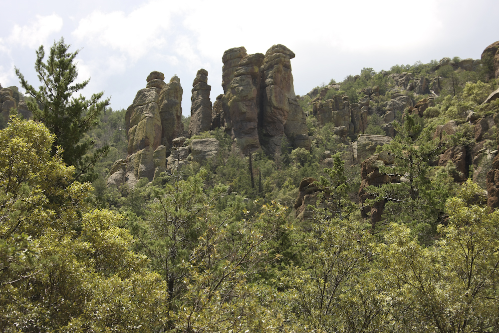
To the south, the pinnacles are narrower and have a taller aspect ratio due to closer proximity to the Turkey Creek caldera.
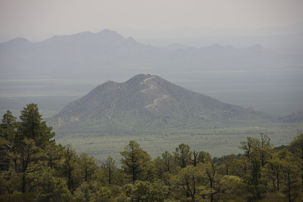
To the east lies the San Simone valley and this hill-top dwelling on Harris Mountain. The mountain is named in honor of an early settler who was killed by the Chiricahua Apache Indians.
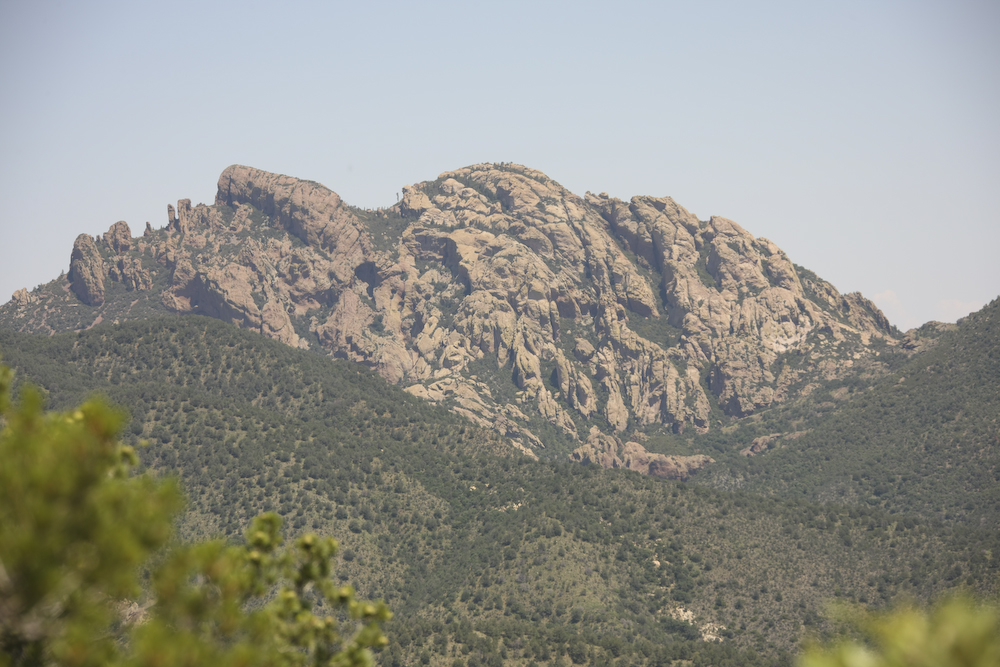
This structure is called "Cochise Head" for obvious reasons. They say that his spirit is embodied in these mountains.
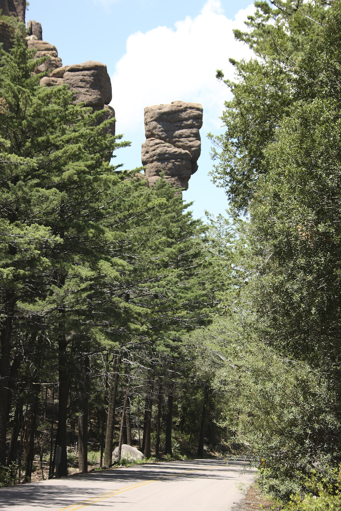
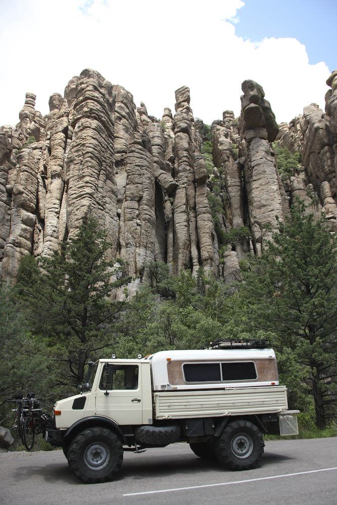
Nice pinnacles are visible from the road.
More nice pinnacles.
More pinnacles.
This structure is called "Organ Pipes".
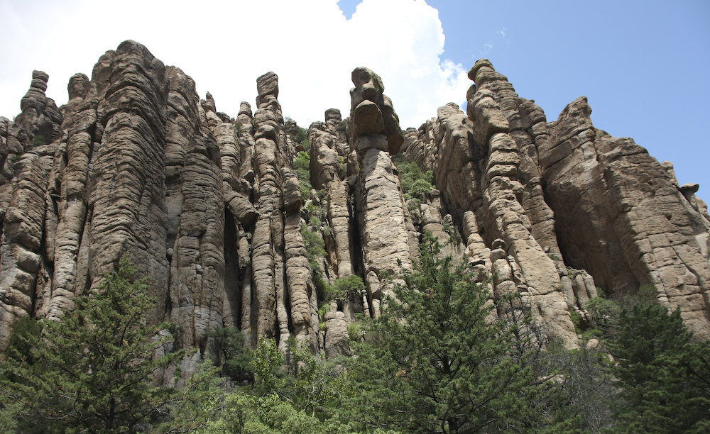
Another view of Organ Pipes.
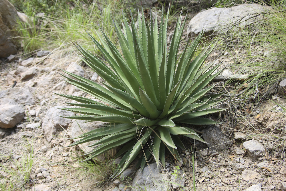
The area had many nice agave cactus.
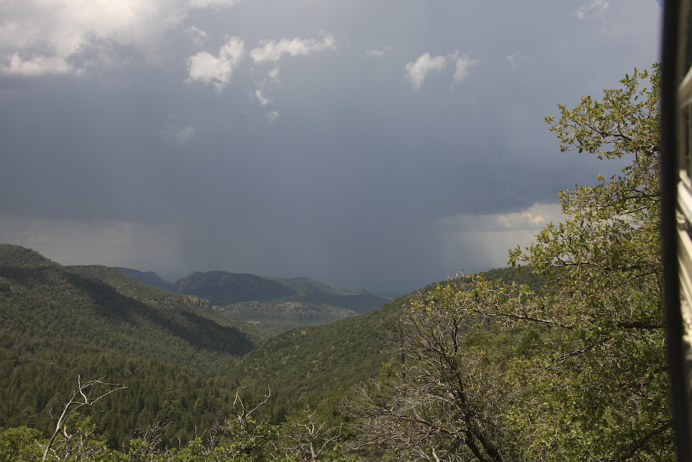
Oh oh, the thunderstorms are approaching again. We have many miles of dirt road to get to the objective for the night so time to go.
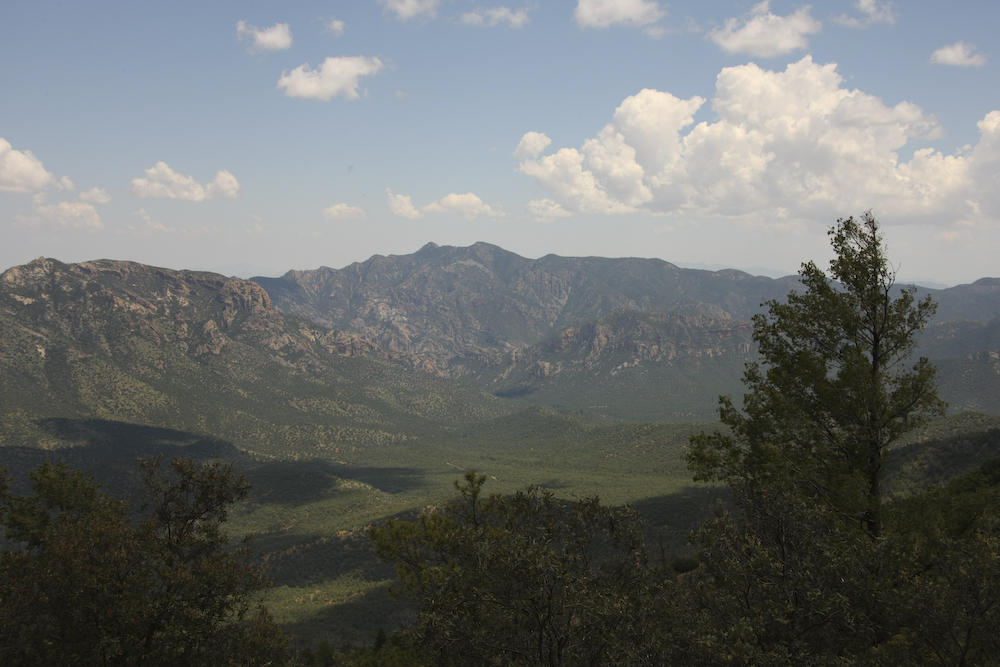
A view of the San Simone valley as we ascend the peaks of the Chiricahua range.
Good sized peaks to the south of our position.
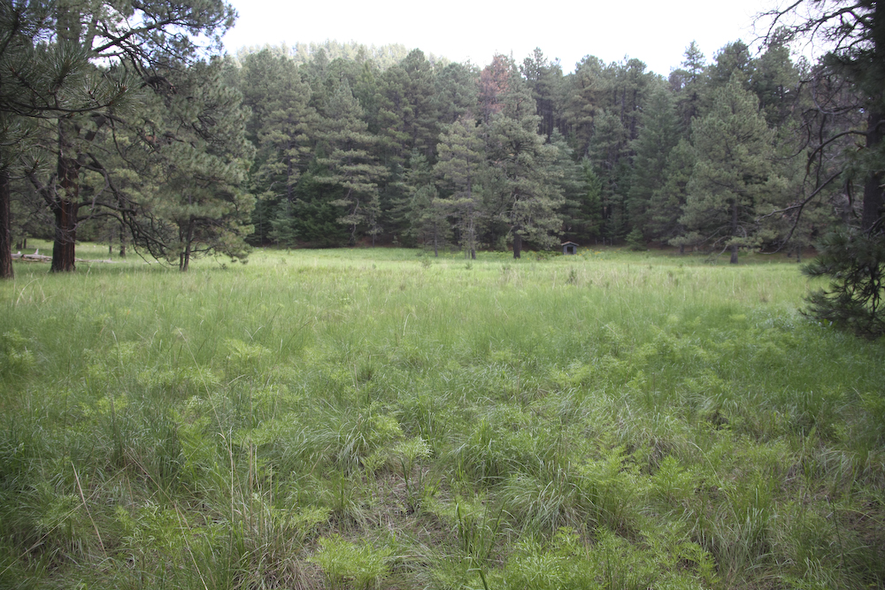
Near the top of the range, we came to Barfoot meadow where we chose to camp.
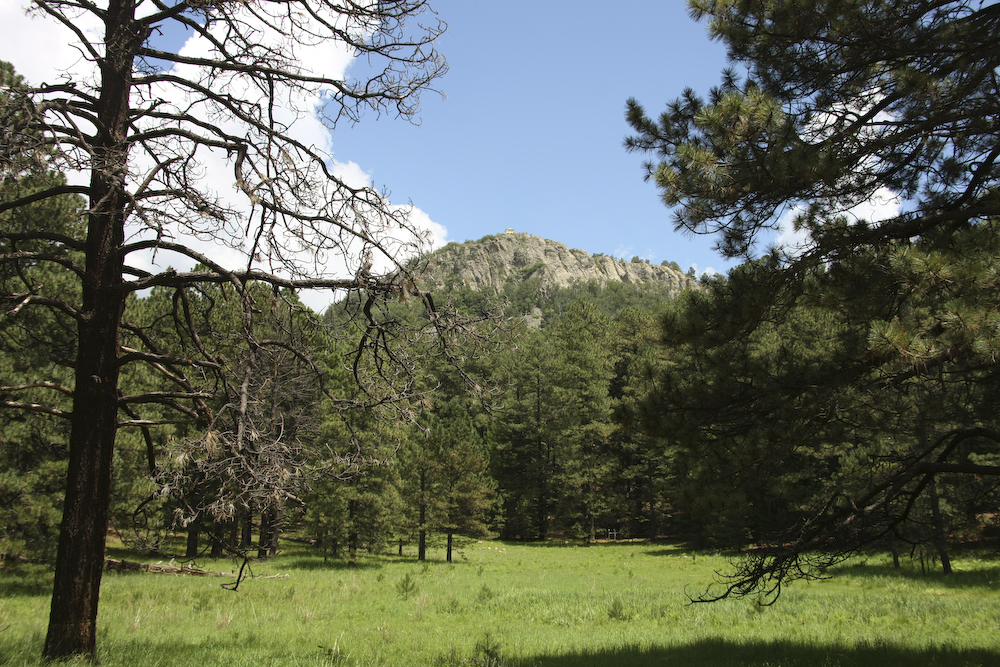
The meadow area had a view of the Barfoot lookout on the peak.
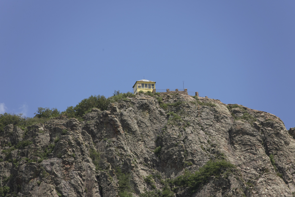
A close inspection of the structure will reveal that this lookout shack is falling into disrepair and unused.
We had a great, calm, dry night at Barfoot meadows. We found a place to park the Mog on an abandoned building foundation that provided a flat, level area with enough room to setup the bbq. While there were several vehicles that came by, we were alone at night. The signs warned of this being bear country, but we saw none and there was no evidence of them visiting the camp while we slept. Next morning, we would head for El Paso, TX on our way to Carlsbad Caverns.
| Previous Adventure | ||
| Trip Home Page |
Photos and Text Copyright Bill Caid 2008, all rights reserved.
For your enjoyment only, not for commercial use.