We left Bisbee and headed north to see Tombstone, "the town too tough to die". That statement is part of the tourist-talk, but based on my conversation with one of the shop owners, that statement was made before the big rise in gasoline prices. The photos below are what we saw.
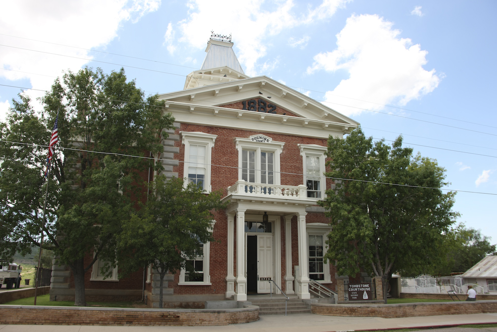
The Tombstone Courthouse and Museum. It was interesting and worth a visit if you are in the area.
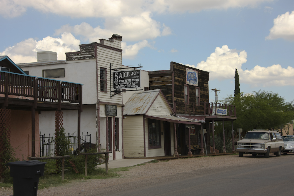
There were plenty of original and restored buildings from Tombstone's heyday. The clouds threatened, but held off long enough to allow our visit to be completed dry.
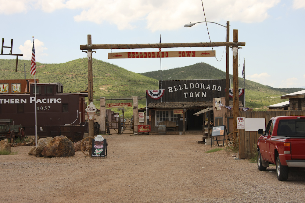
There were a number of mini-museums available if you had the time, patience and money.
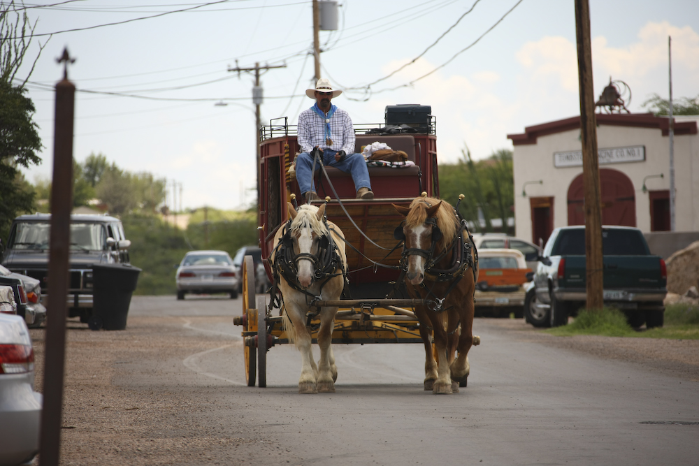
No western ghost town would be complete without a horse and wagon.
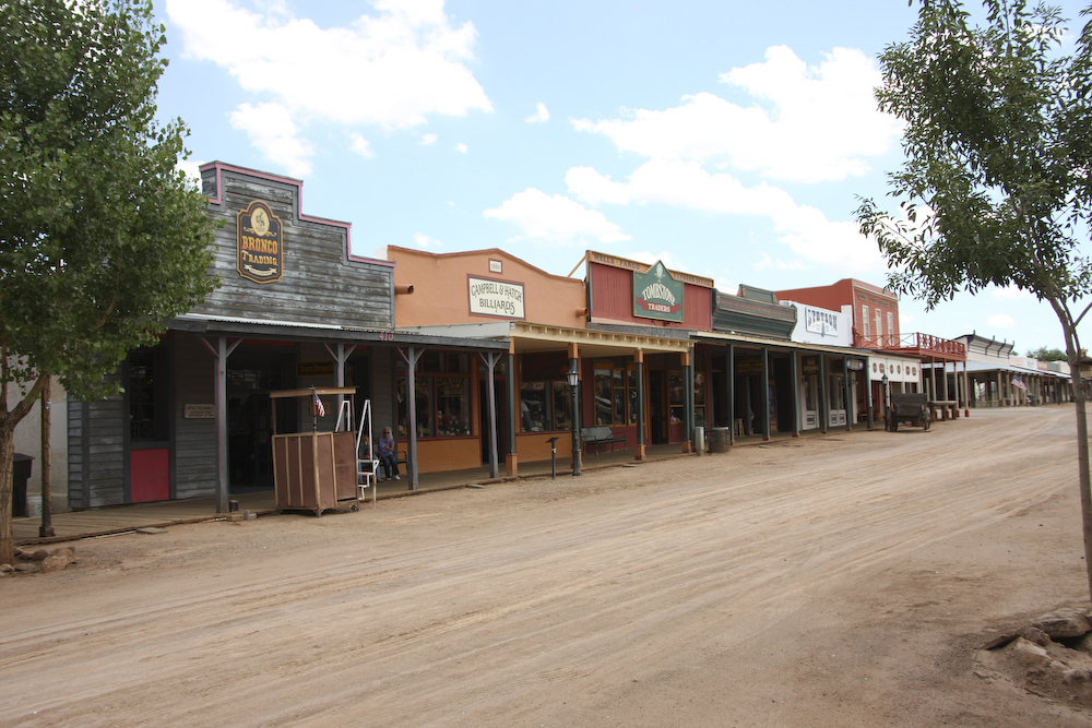
Main street was dirt and closed to vehicles. Shops included western wear, guns, gifts, candy and bars.
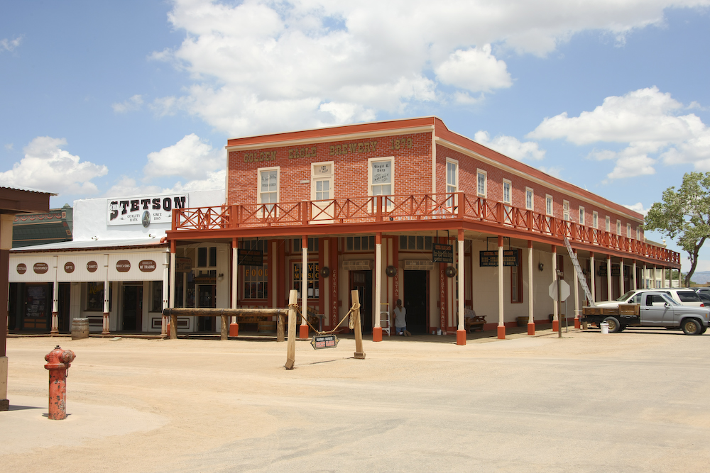
A nice territorial-style brick building that housed our lunch spot. We chatted with the owner during lunch and he stated that he has never seen business so bad. The high cost of gas is changing people's vacation behavior.
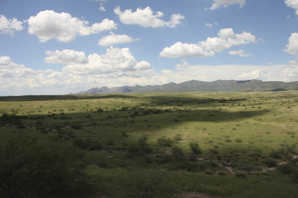
When we completed in Tombstone, we traveled a dirt road over the southern foothills of the Dragoon mountains to the Sulphur Springs valley. The hills were green and covered with grass from the abundance of monsoon rain.
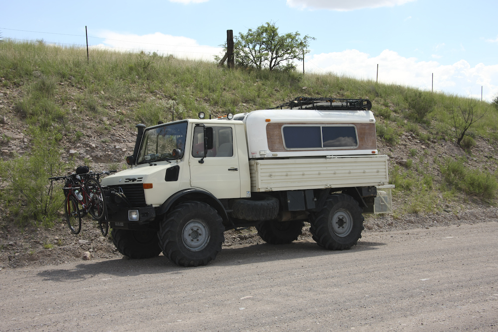
This trip we went loaded for bear and brought the bicycles (yet to be used).
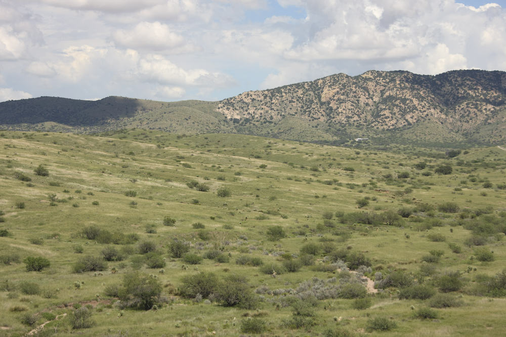
The southern foothills flanking the Dragoons were verdant green.
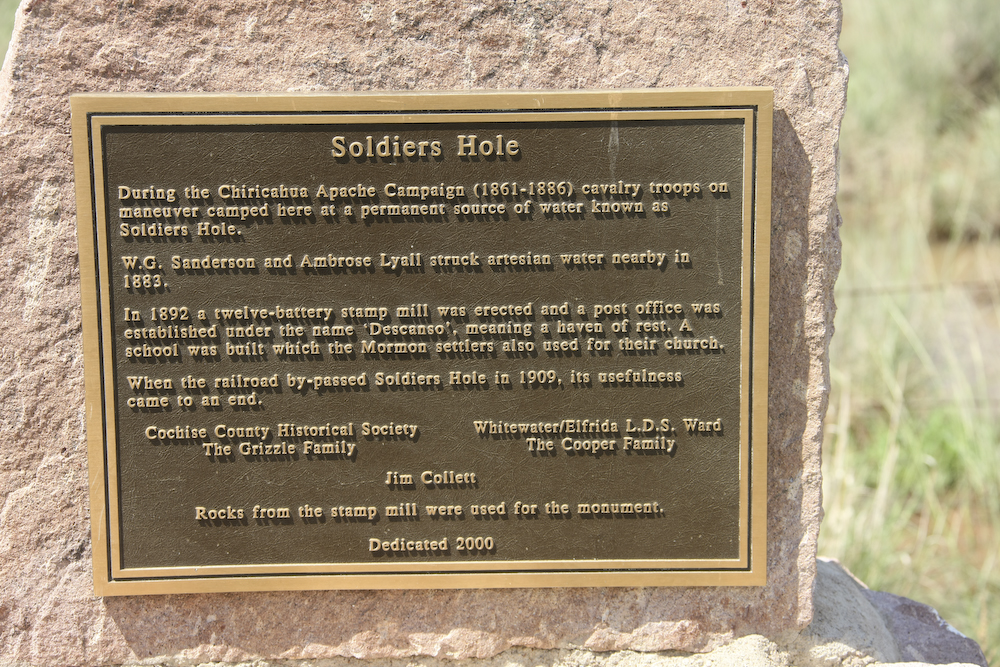
We passed this monument on the eastern side of the Dragoons.
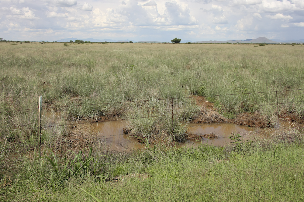
Soldier's Hole is not much to look at but when there is essentially no open water available anywhere, this looks pretty good.
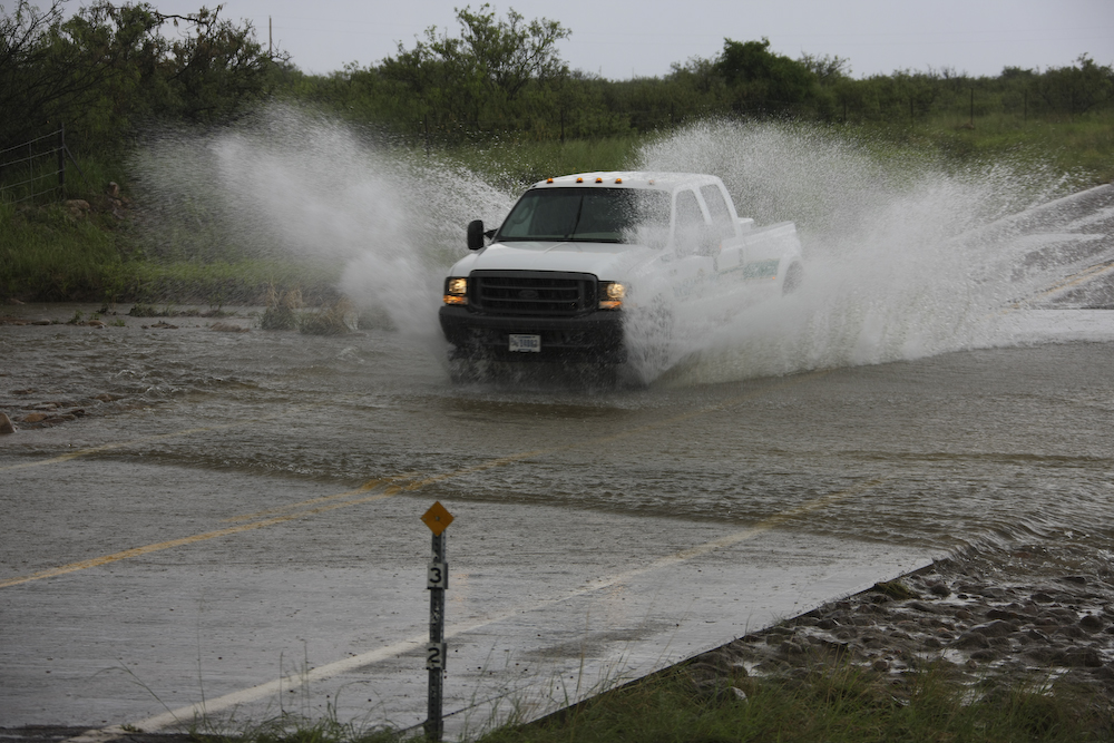
At the north end of the Sulphur Springs valley we turned east toward the Chiricahua range. The clouds had been building all day and finally caught us and we were flanked on 3 sides by thunderstorms and rain. Rain in the hills caused this arroyo to run. The good news is that it was not running that hard yet. Note the depth markers at the bottom center of the photo. Later in the evening, we would see plenty more rain.

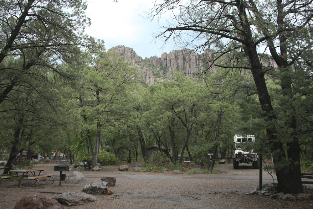
We motored on to the Chiricahua National Monument in the Chiricahua mountains and got a nice camp site. I think due to a combination of the heat, gas prices and the monsoon season, the place was nearly empty. We had our pick of sites and during the recon, we chose a site that was above and well away from the seemingly placid creek that ran through the camp.
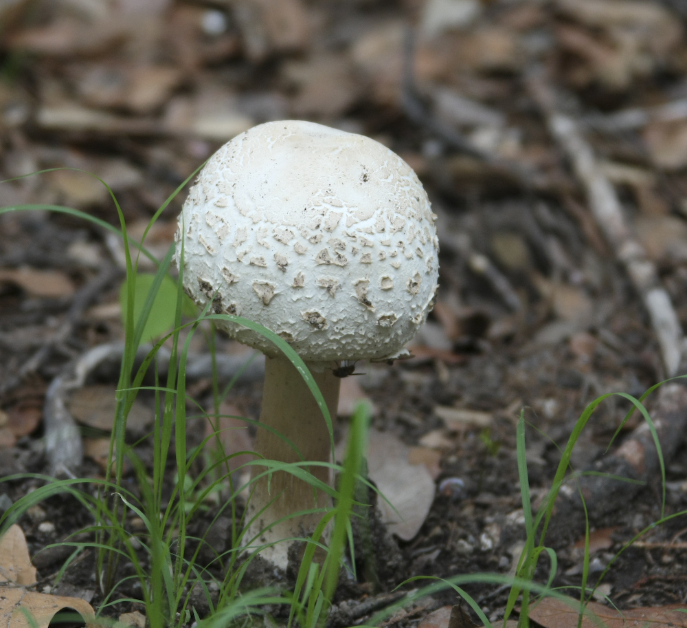
Due to the rain, there were many mushrooms in the campsite. This big cap would fully open over night.
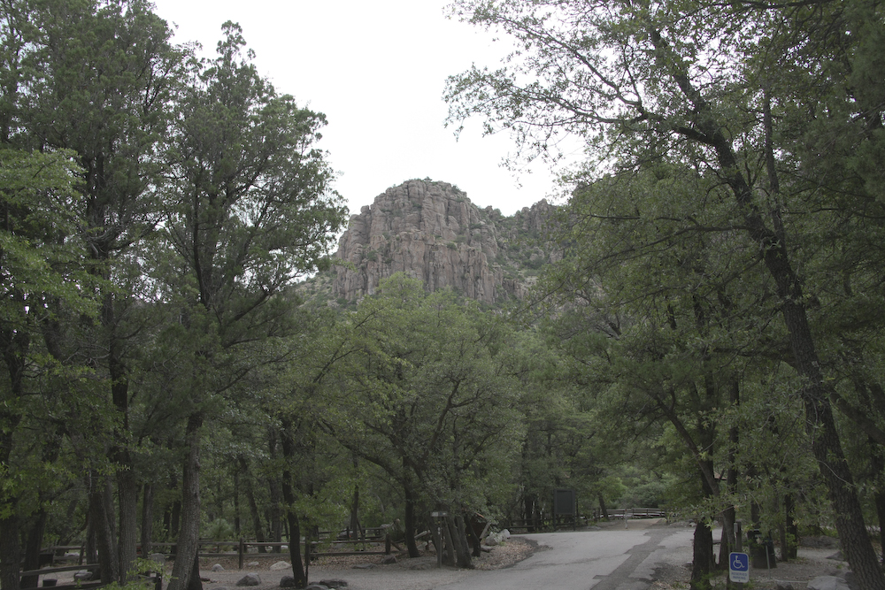
Riggs Mountain visible in the distance.
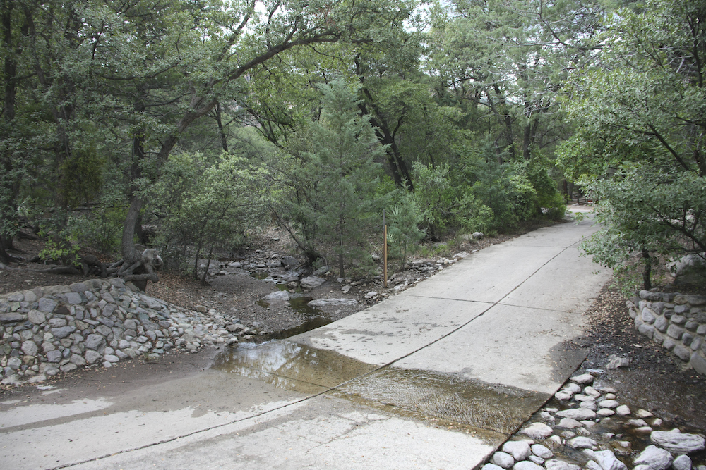
Reasonably close to the camping area was this nice, placid stream. Placid for now anyway.
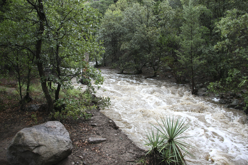
We returned to the camper for cocktails and it started to rain like hell. It rained hard for about an hour. Our camp site was perhaps 15 vertical feet from the river grade, but back about 30 yards. But, despite the distance, it was close enough to cause me to keep a close eye on things and prepare for a rapid egress should events dictate. The shot above shows the previously placid creek at max flow for this event. The creek flow peaked quickly and then started to recede letting us relax. We did sleep with "one eye open" for additional rain, but there was none.
The camp area consisted of dense juniper and oak trees.
Yet another great day. Despite some excitement and the possibility of an evacuation due to the flash flood and an evening visit by a family of 6 skunks, it was fun. The Chiricahua range is an interesting area and tomorrow we will explore the back country areas of the range.
| Previous Adventure | ||
| Trip Home Page |
Photos and Text Copyright Bill Caid 2008, all rights reserved.
For your enjoyment only, not for commercial use.