The objective of the day was to get from our camp at San Quintin back to the border in Tijuana and then get home. This had been somewhat of an arduous trip and the weather could have been a bit kinder, but all things considered, it had gone well. Even in the face of some significant obstacles. The team is great and we all had fun.
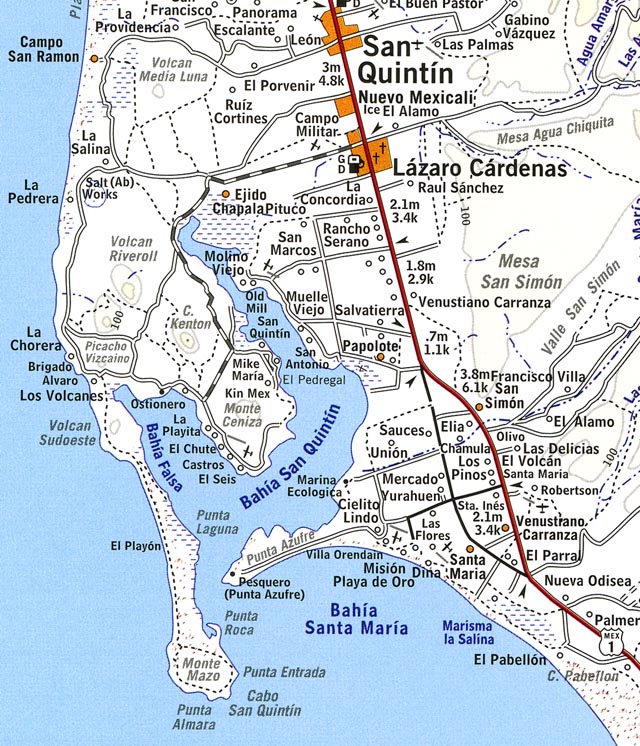
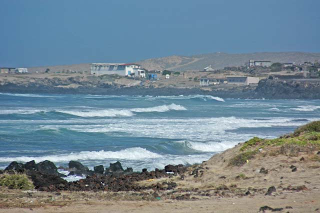
Our location was Punta Estrada south west of San Quintin. See the map below.
Map of the San Ignacio to San Quintin areas.
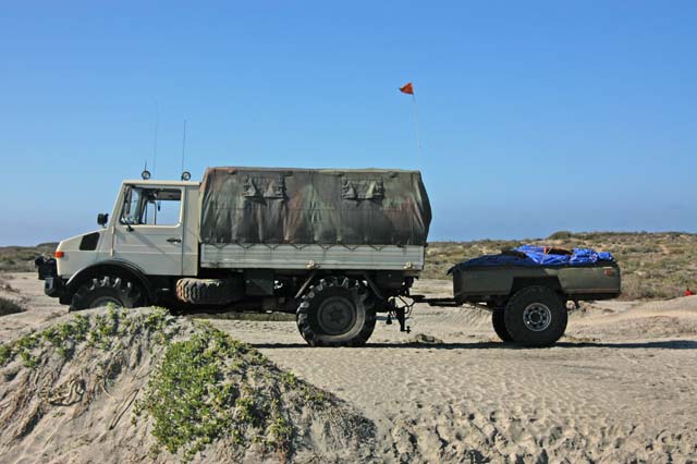
Loaded, ready to head out . Note low tire pressure for beach driving.
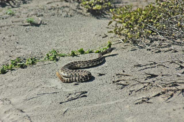
A camp visitor.
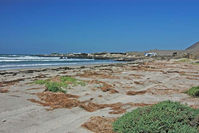
Homes near Volcan Sudoeste .
More homes near Picacho Vizcaino.
The trip out was uneventful. Long, but uneventful. The border at Tijuana is in insult to the senses, but that has not changed in the 30 years I have been going to Mexico.
| Previous Adventure | ||
| San Ignacio Lagoon Home |
Photos and Text Copyright Bill Caid 2004
For your enjoyment only, not for commercial use.