The White Rim Trail is "just a dirt road" that starts on the mesa that is the access to Dead Horse Point and Canyonlands National Park. Because it is a graded road it is easy to do and the views are awesome. As you will see in the photos below, there are some substantial grades, but other than the requirement to pay attention, there is no danger. My recollection is that there is a fee that has to be paid to get into the park area, so bring your wallet.
The shots below are reduced from the output size of the digital camera to 700 pixels wide.
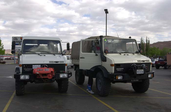
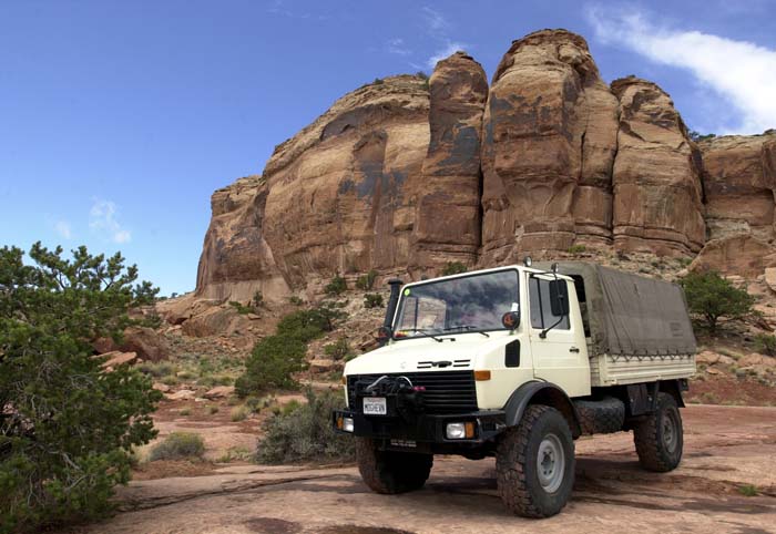
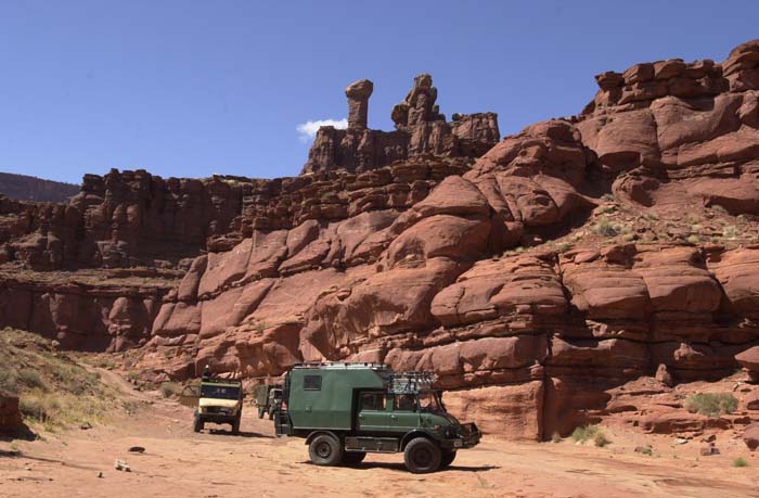
A 1550L and a 1300L preparing for the trail.
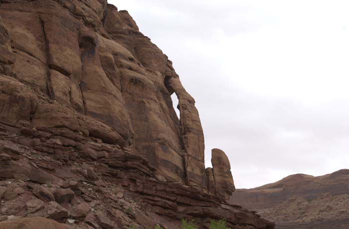
Jug Handle Arch.
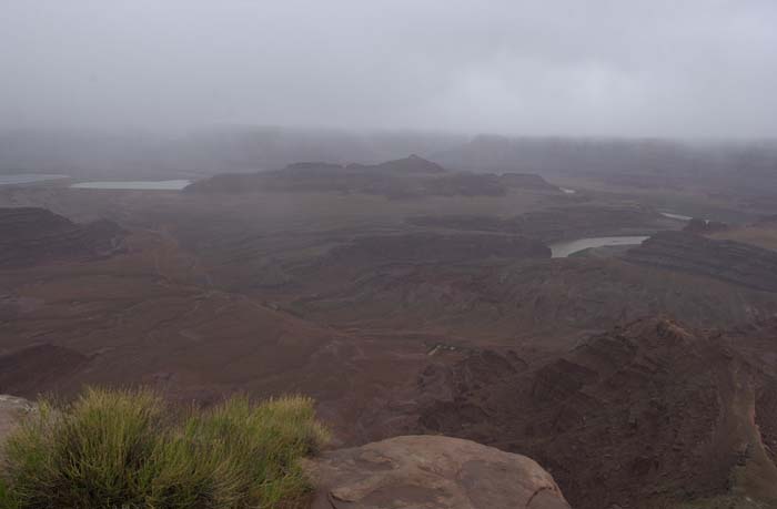
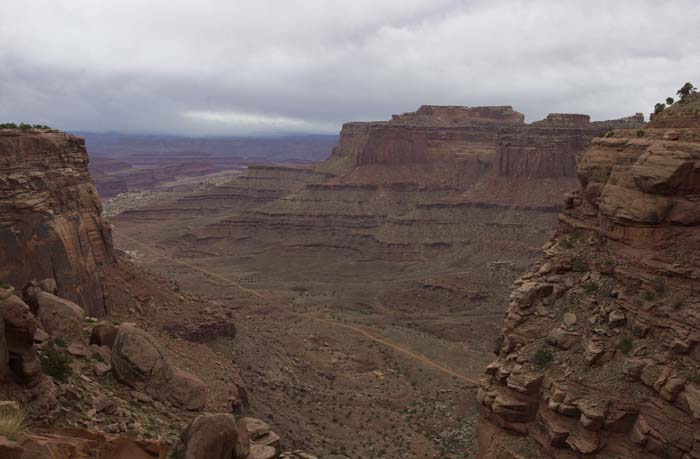
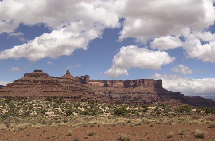
View from Dead Horse Point with clouds.
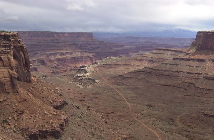
Settling ponds of the potash mines in the distance
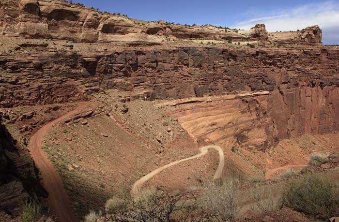
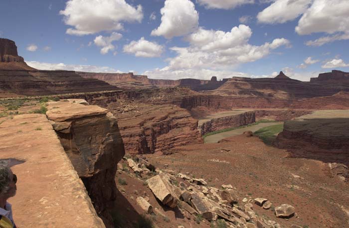
Lip of the White Rim Trail. Trail in the canyon visible below.
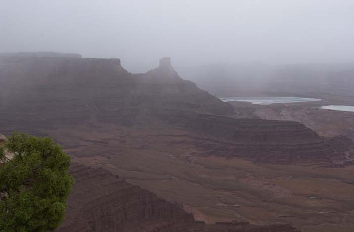
The visibility is improving fast as the storm clears.
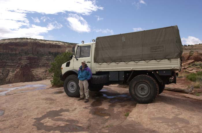
1300L on the White Rim Trail.
It was cold and windy .
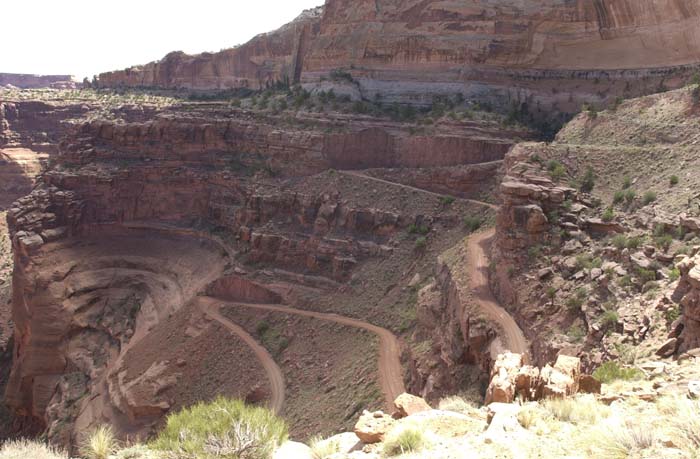
Switchbacks descending into the Colorado River canyon. Note the cliffs.
Another view of the switchbacks.
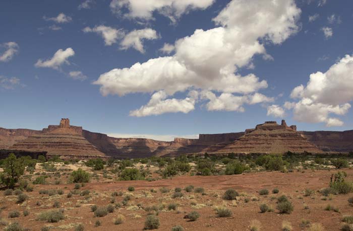
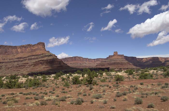
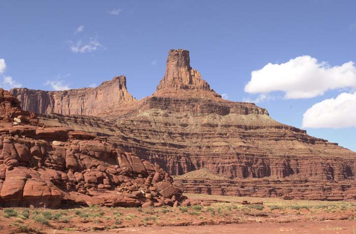
Mesas in the distance.
The weather was clearing, but it was still windy.
Another large mesa.
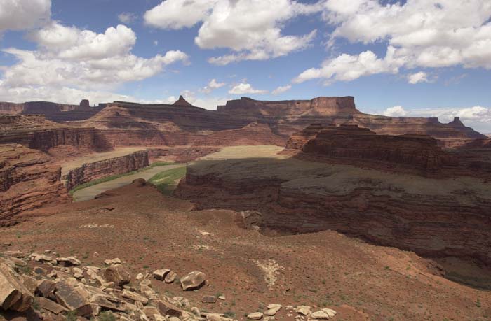
A view of the Colorado River.
Ron DePugh takes in the view.

Kent on a rock bridge.
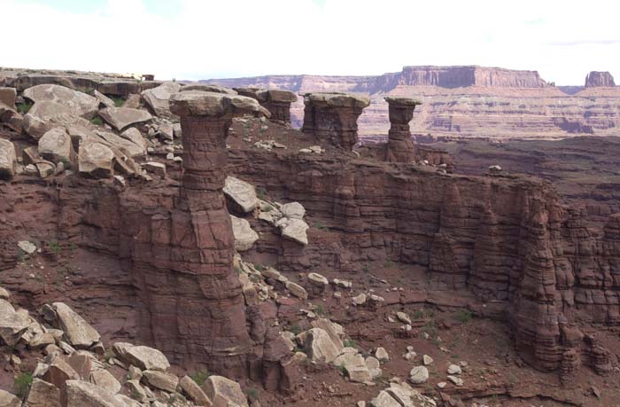
Hoodoos with limestone cap rock.
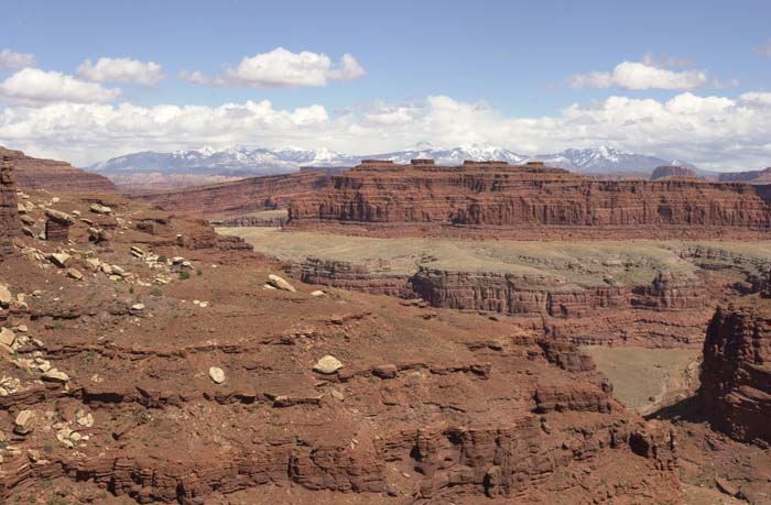
La Salle mountains in the distance. Note the anticline structure to the bedding.
The bottom of the canyon. Note hoodoos on the skyline.
Island in the Sky.
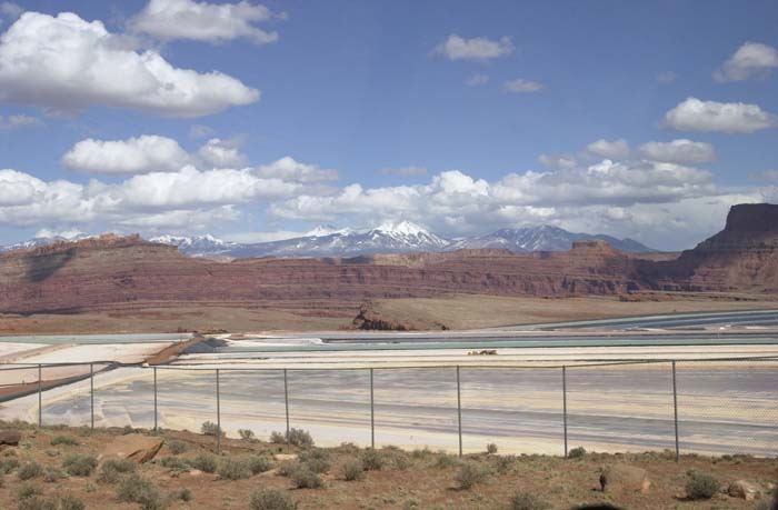
The settling ponds of the potash mines. Sorry, but these are a blight.
We did not come close to doing the entire White Rim trail. It is nearly a hundred miles long round trip and there was no way to do that in one day. So, we traveled until it was time to return and then headed back to the campground and hotel. This was the first time on the White Rim trail, and I would definitely go back.
| Previous Adventure | ||
| Home Page for this Trip |
Photos and Text Copyright Bill Caid 2004
For your enjoyment only, not for commercial use.