
Villarica
was a nice place: a 5-star hotel with good food and lake
views. We carefully considered our path and cadence of
travel to insure that we were in Santiago at the appointed date
and time for our rental car return. Kathleen had already
secured a nice room in Santiago, so that box was checked.
We traveled from Villarica toward Lonquimay, but
our chosen path was a (not smooth) dirt road. After
getting our dental fillings rattled for an hour, we reconsidered
the balance of the path and rerouted via a paved road.
While the new path was quite a bit longer by miles, it was
likely shorted (and way more comfortable) than the initial
route. Kathleen secured a room at the Corralco ski resort
with an awesome view of Volcan Lonquimay.
The photos below are what we saw.
The
location of the hotel was in a Chilean National Park and there
was plenty of nice flowers along the dirt road that led to the
main hotel complex.


The
trees were very odd so Chat GPT to the rescue! I used the
query "what are the odd high-altitude trees in Chile".
Answer: Monkey Puzzle Trees (slang name, of course). The
official name is Araucaria araucana. Araucana,
it turns out, is a very ancient tree, with evidence in the
fossil record going back at least 200 million years to the
Mesozoic era. Surviving relatives are only found in the
southern hemisphere and include the Norfolk Island Pine, Cook
Pine and the Bunya Pine. More on morphology in photos
below.

Our
first view of Volcan Lonquimay, mostly cloud-free.
More
isolated trees and another collapse crater, this one is snow
filled.

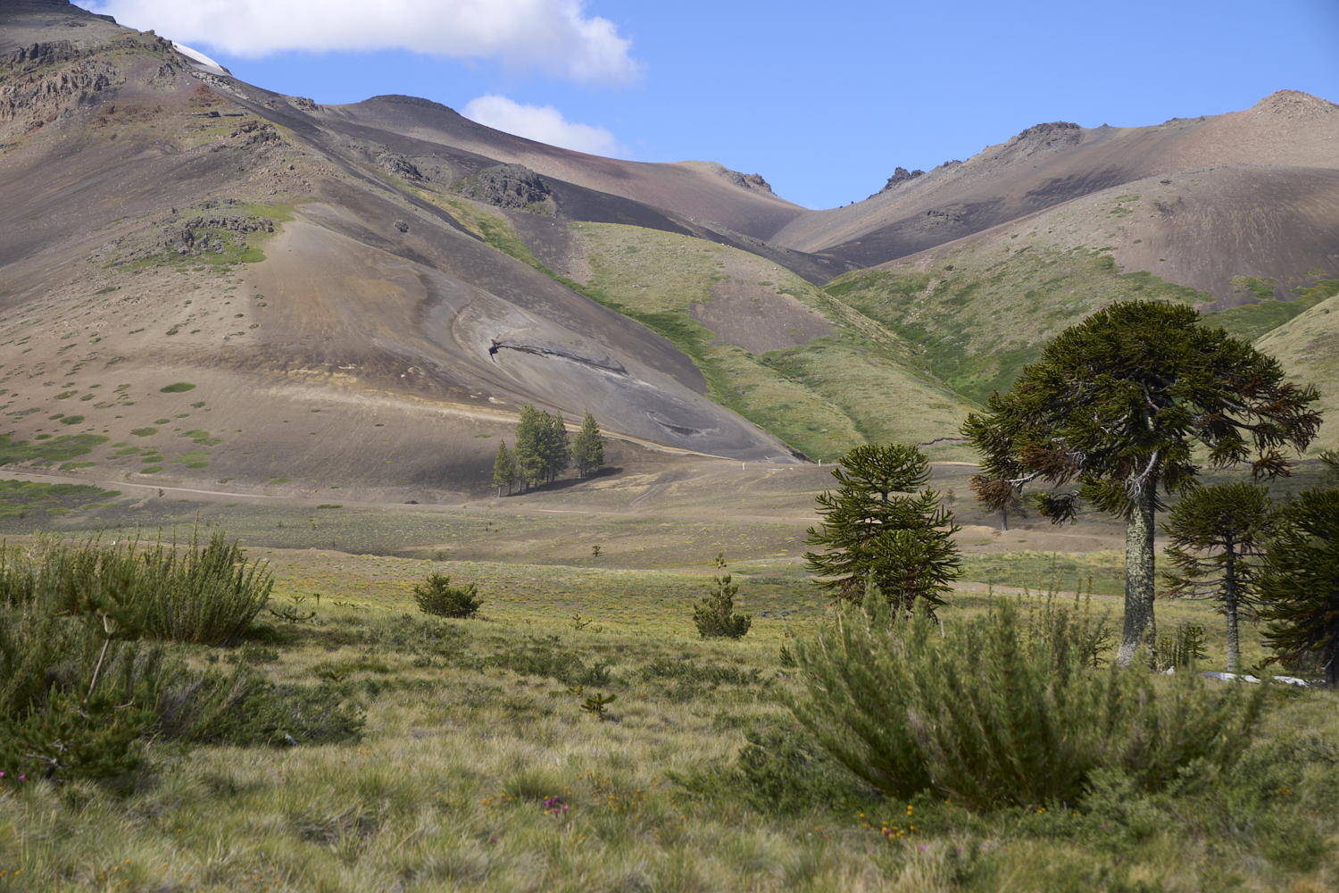
An old
volcanic debris flow area coming off of a side caldera of Volcan
Lonquimay. Note the araucana on the skyline: they have a
very unique profile.

Cell
service was provided by this assemblage of equipment. Nice
wildflowers were in areas that actually had soil (as opposed to
raw, volcanic ejecta).

I
believe this device is part of the Chilean seismic reporting
network.

A closer
view of a young araucana with the hotel in the background.
These trees look like a cross between a palm tree and a
cactus. But, in fact, their DNA suggest that they are way
older than either of those species.

The
growth bud on a araucana limb. The leaves are thick, waxy
and have pointed ends, similar to an artichoke.

High up
on a mature tree, we could see the seed-producing pods.
The local Mapuche ate the seeds and called them pinyons.

In areas
that actually had soil, there were nice flowers.

There
were many yellow and white flowers.

The
hotel offered a "free" welcome drink, this is a pisco
sour. Note that there is only one "s" in the name.

Lobby
area of the hotel with nice stone flooring and fireplaces.
The lobby faced the mountain and had a great view of the actual
ski lifts that ascend the side of Volcan Lonquimay.

The
outside pool area of the resort. They also had a large
heated indoor pool, spa and weight area.

The back
deck had a great view of Volcan Lonquimay. The lower ski
lifts are visible in the photo above.

The
higher lifts were visible through the small stand of araucanas.

We only
stayed one night at Lonquimay and then headed west down to
Chile's central valley and Ruta 5. There was smoke on the
horizon and soon we spotted a helicopter on fire duty hauling a
water dump bucket. Spray from the wind is visible behind
the chopper.

I
wanted to see the large hydroelectric dam at Ralco.
Ralco is in yet-another deep and steep side canyon of the
Andes. This is not Ralco, but rather a smaller capture
dam for irrigation.

This
dam was constructed using dirt fill and the walls were capped
with an over-top wall to prevent damage should the reservoir
overfill and top-out.

The
reservoir behind the dam hosted water sports and
resorts. Note the cabana on the right. Our
destination is below the snow field on the far ridge.

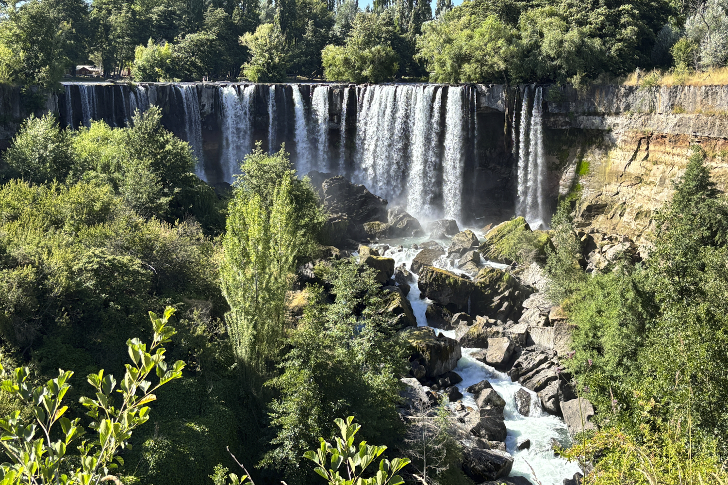
Along
the way, we spotted a substantial waterfall on the side of the
canyon. Note the power lines coming from the Ralco dam.

This
is one of the rivers that feeds the lower reservoir.

In
many parts of the river there were rapids with
whitewater. We spotted a few kayakers, but it was
Christmas Eve (and hot) so presumably everyone was at home
with their families.

This
photo speaks to the complicated geologic history of the
area. Glacial rubble overlaid with volcanic ash overlaid
with more rubble.

We hit
a break in the trees and got a view of the nearby Volcan
Calliqui. Yes, that is a steam eruption from
the summit caldera that is visible on the ridge.

Ralco
was a closed site, therefore there was no visitor's center nor
any view point that allowed seeing the face of the dam.
It is a big dam (at least according to the web), so somewhat
disappointing. We got this view above from a
side-of-the-road pullout that had a hole in the trees.
At this point, we retreated and again drove to the central
valley and north to Salto de Laja.
This
is the Salto de Laja as seen from the patio of
our room. Kathleen was able to book a last minute
reservation from our car while we were rolling.

One of
our requirements for getting places to stay is that they have
a restaurant on site. Salto de Laja did have a
restaurant and, despite our pessimistic outlook given that it
was Christmas Eve, the food was outstanding. I had
venison, Kathleen had the roast duck. These dishes
clearly showed the German influence in the area as both were
served with spiced applesauce and braised red cabbage.
And, to Kathleen's delight, they had a brewery on-site as well
as a full bar. Good thing it was only a 100 meter drive
on a private road to get back to our room.
| Previous Adventure | ||
| Trip Home Page |
Photos and Text Copyright Bill Caid 2024, all rights
reserved.
For your enjoyment only, not for commercial use.