The photos below are what we saw.
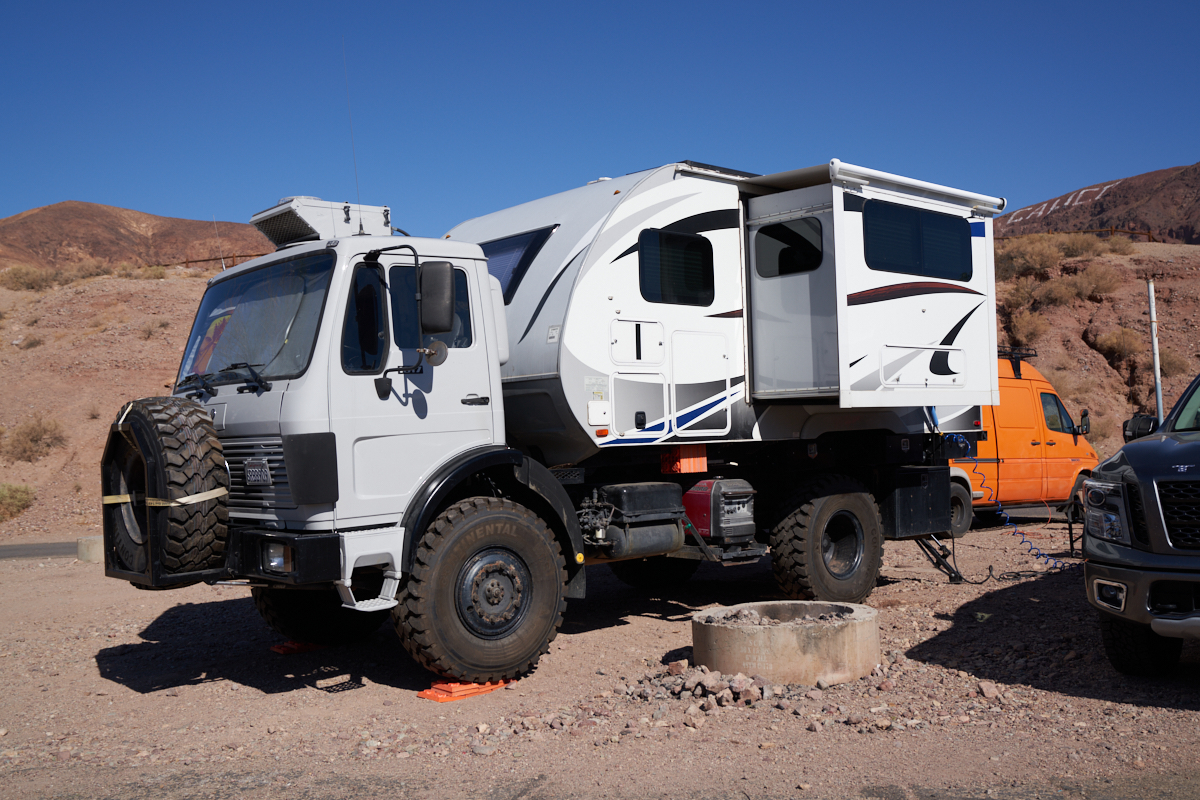
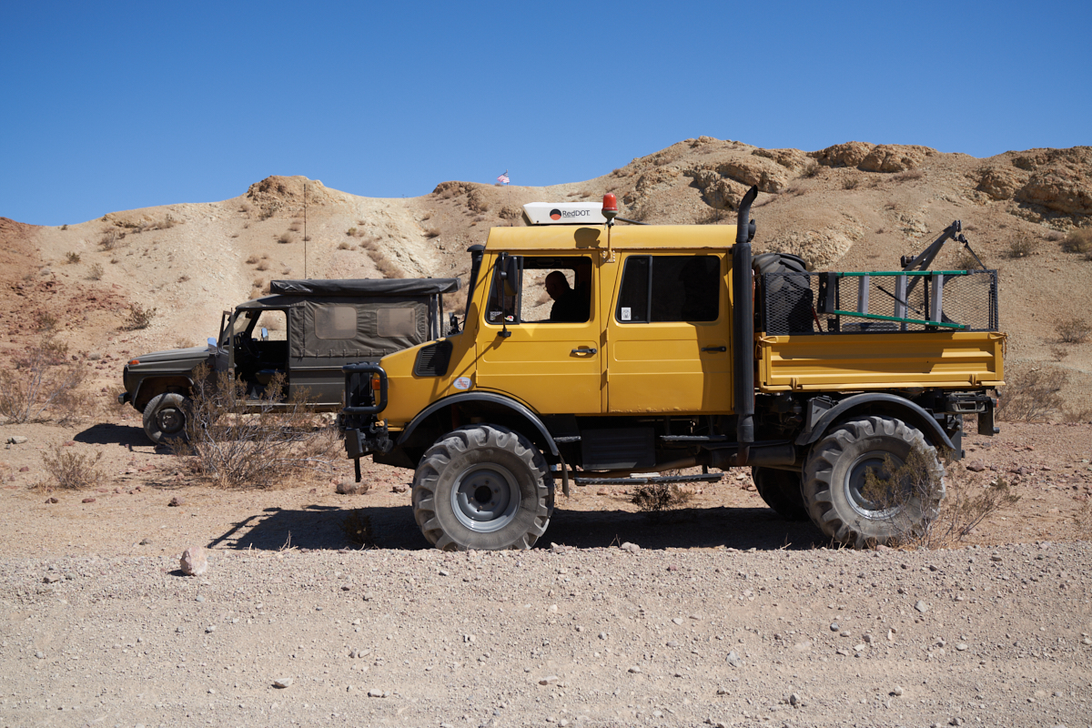
Thor,
our Mercedes 1017A got a recent paint job and brand new tires
which makes the truck look younger than its 30+ years.
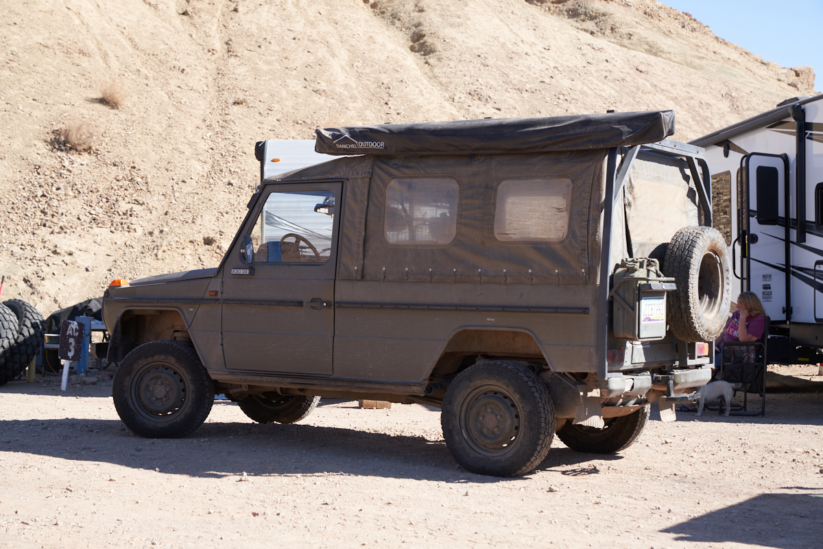
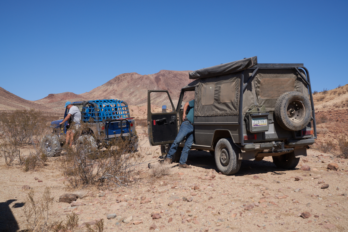
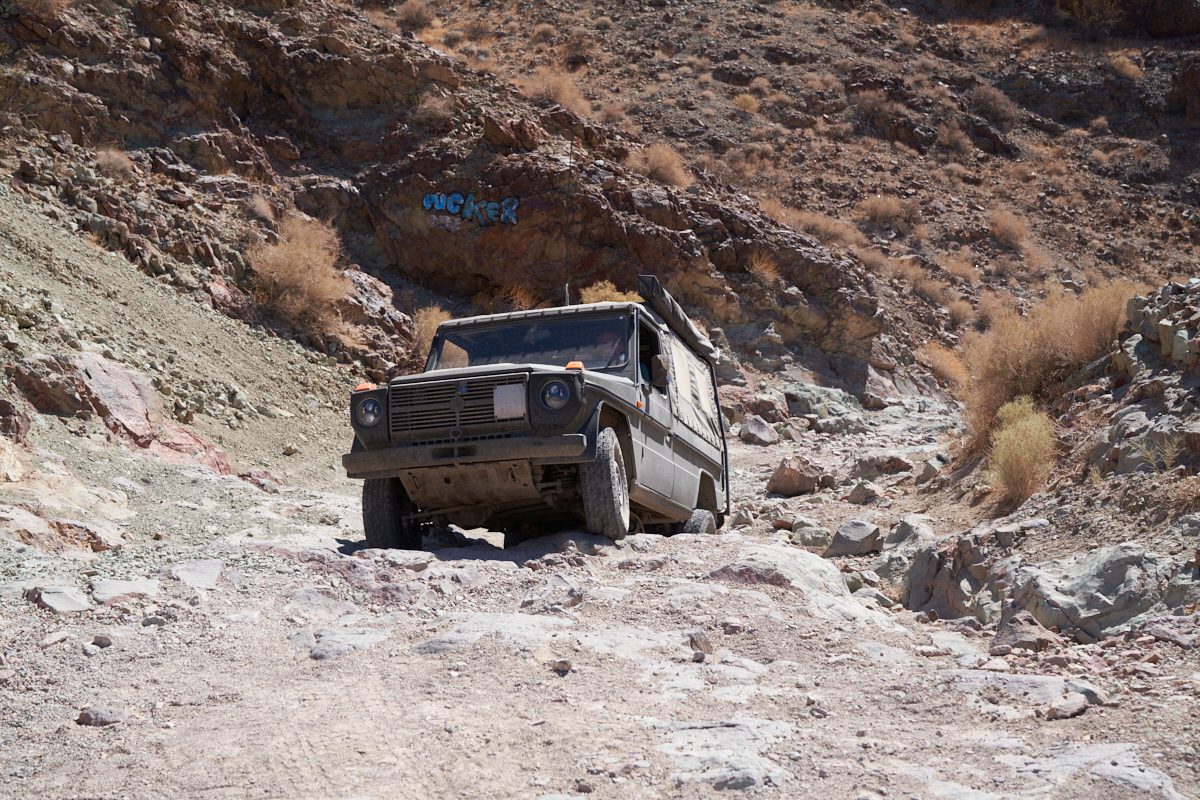
An
ex-European military G-wagon.
Terry's
super-clean 1500L.
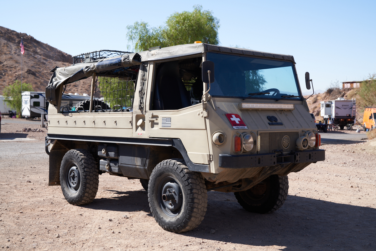
A nice
stock Pinzgauer.
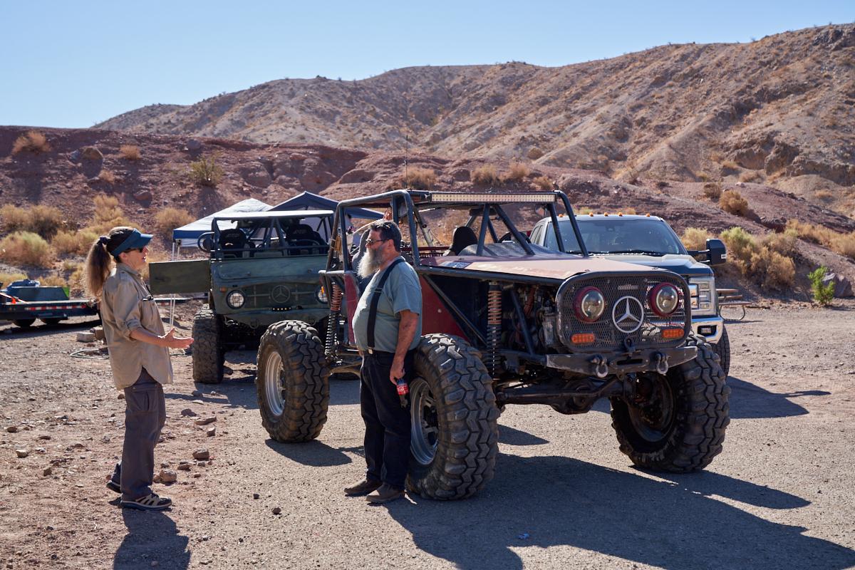
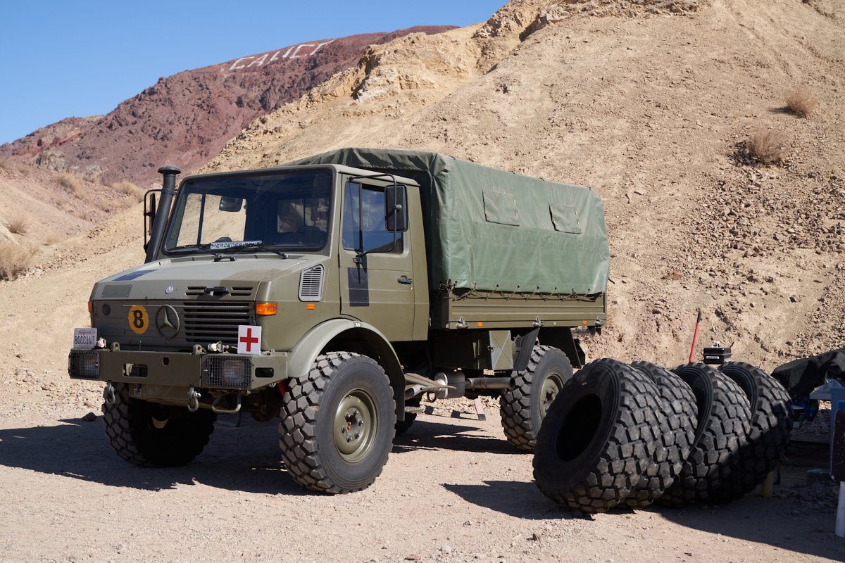
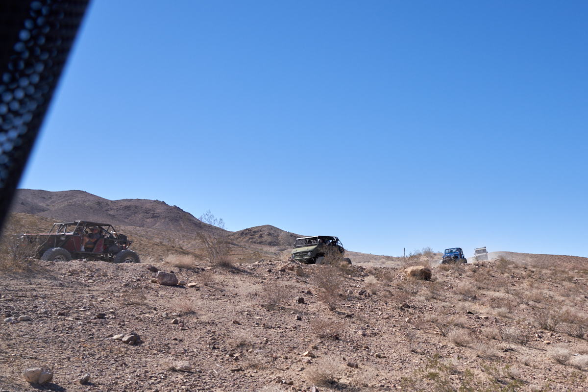
Vehicles
lined-up for the first day's run. Kathleen talks with
Chuck in front of Joe's custom Unimog 404-based rock crawler.
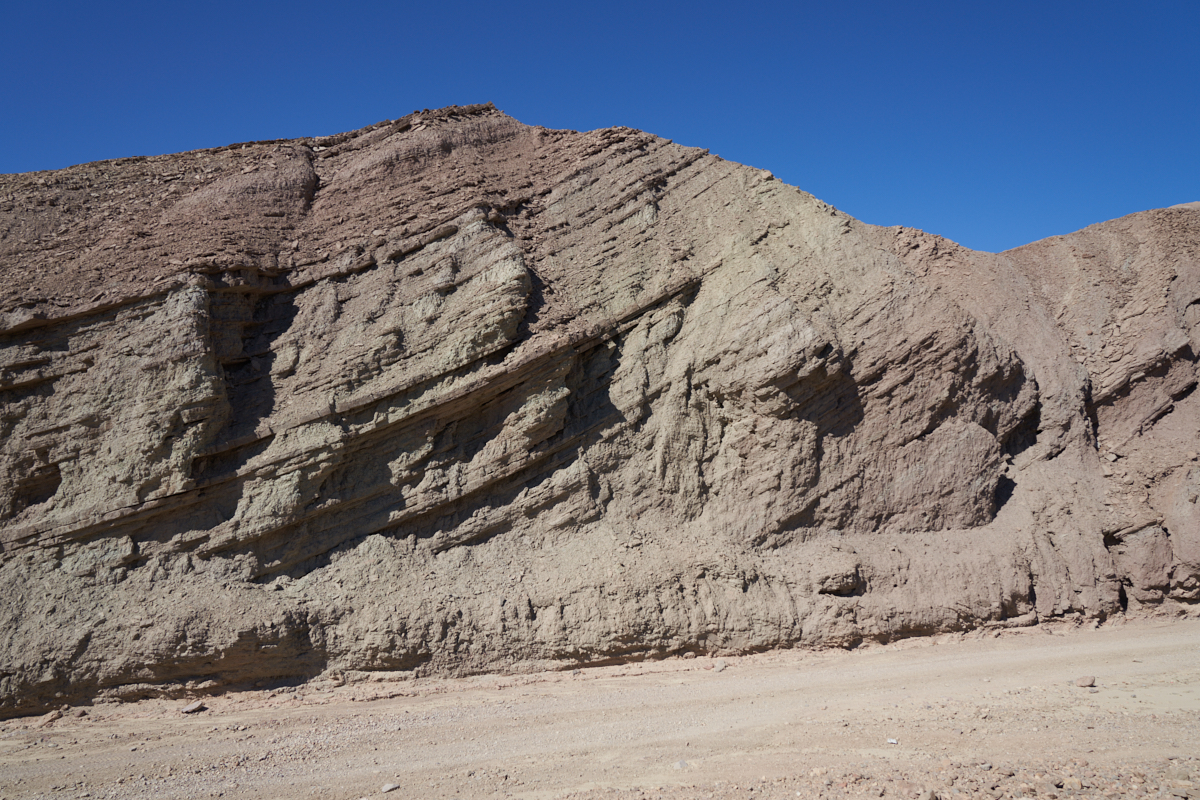
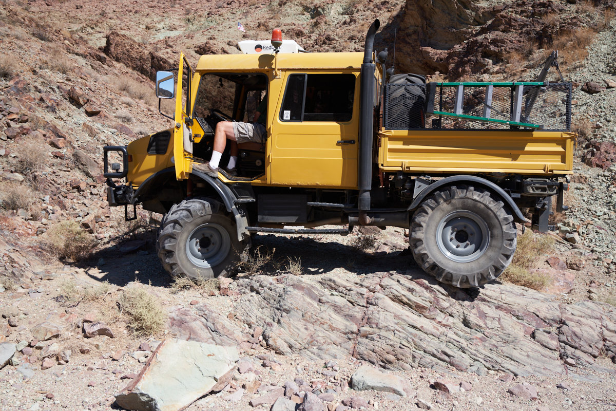
The
areas around Calico consist of a variety of geologic
formations. The area has been uplifted, faulted and tilted
many times as well as being subjected to repeated volcanic lava
flows. Above, the folding of the lower strata is revealed
in the cliffs.
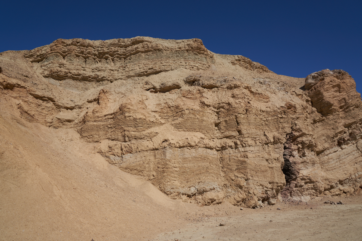
Other
evidence of geologic turmoil is present in the canyon
walls. Note that the lower beds show warping that is not
visible in the upper beds. This means that the area was
folded, material was washed away and then re-deposited before
uplifting. A tortured existence, for sure. These
beds provide a scenic backdrop for excellent four-wheeling.
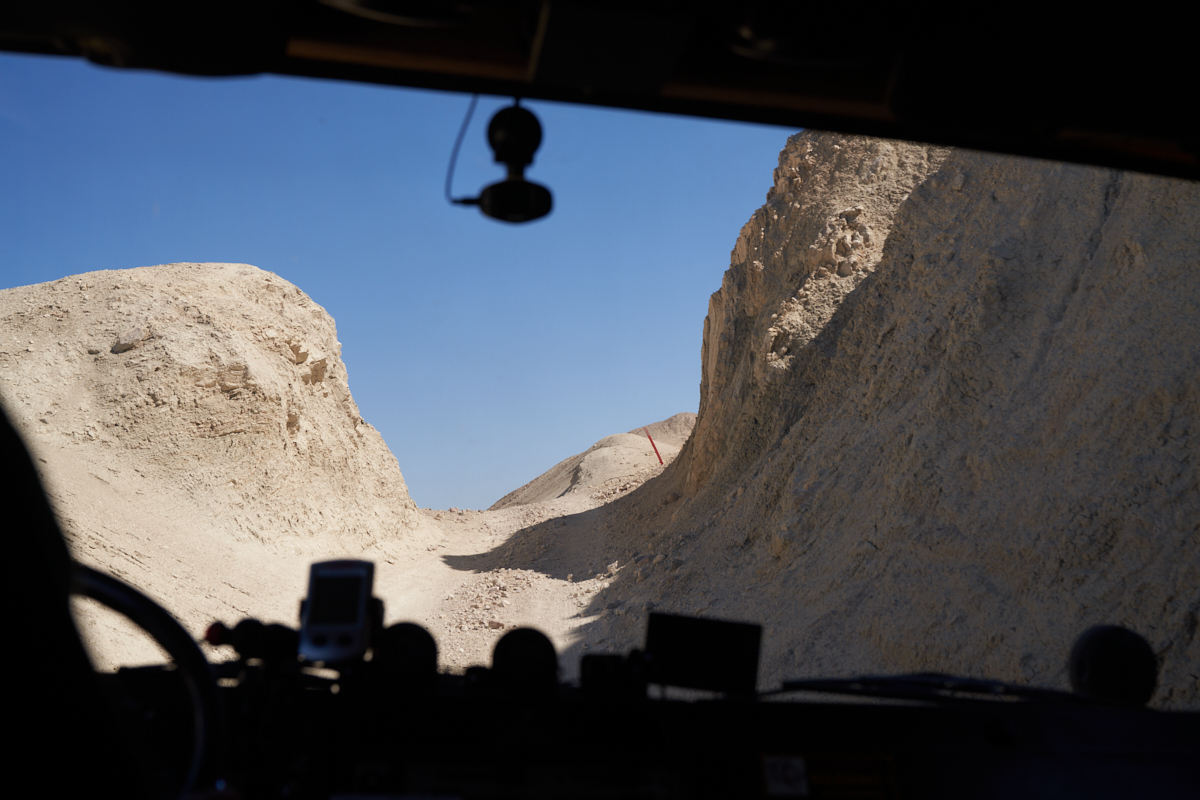
Some of
the trails head straight trough the mud hills. Steep
trails were cut by the Calico miners to allow access to their
digging sites.
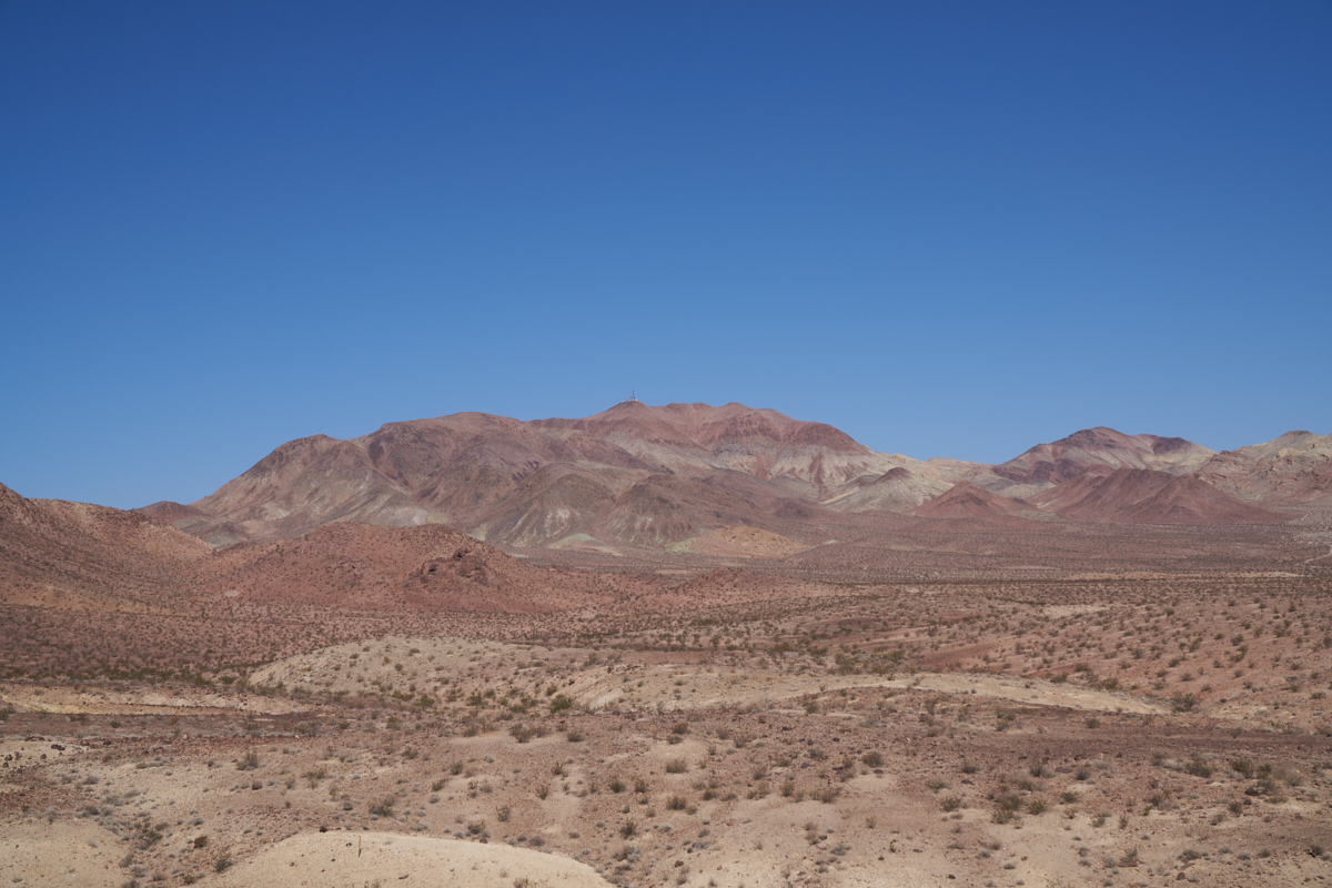
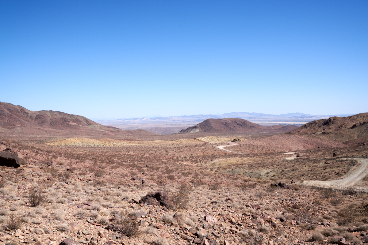
From an
overlook, the harsh terrain of the Mojave Desert is
visible. Note the various colors of the rock that give
clues to their mineral content. Minimal vegetation is
present which is mute testament to the usually-arid climate.
I rode
with Eric and he was leading the trail run. The others in
the group followed close behind.
Our
group consisted of moggers and friends-of-moggers. We
generally allow any type vehicle to join us on trail runs, thus
the jeep and G-wagon.
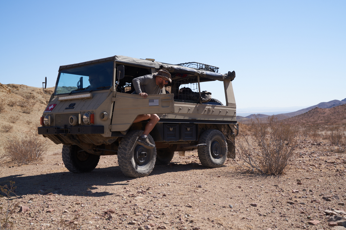
The Pinz
driver gets out for a short bio-break.
Eric's
very nice DOKA with XM-47 tires.
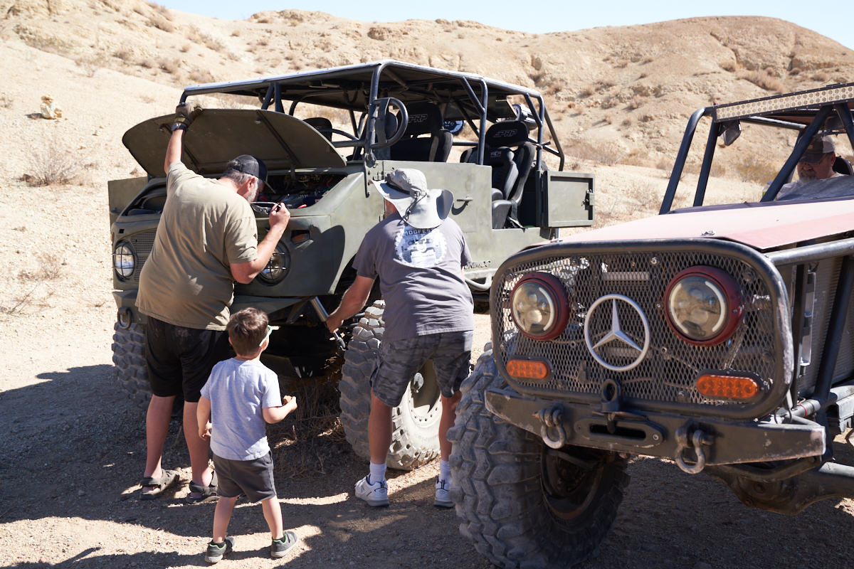
Eric,
being the lead vehicle was in front of the column. When I
hopped out of the cab, I smelled "hot oil" and was fearful it
was coming from Eric's truck. Happily (for Eric) it was
not coming from his ride, but rather from one of the older
404's. Above, the leak was being investigated.
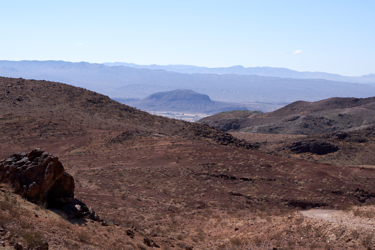
From an
upper viewpoint the harsh terrain was clearly visible. To
the south, the small enclave of Yermo, CA is visible through a
notch in the canyon. Volcanic ejecta cover most of the
area giving it a dark brown color.
Mog sex,
such as it is. Note the steep trail in the
background. Some of the paths in the area are very, very
steep.
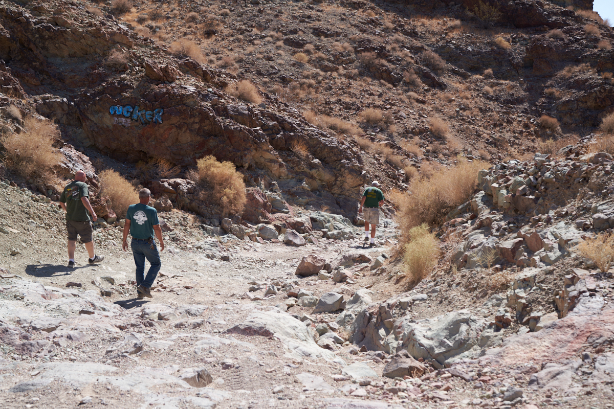
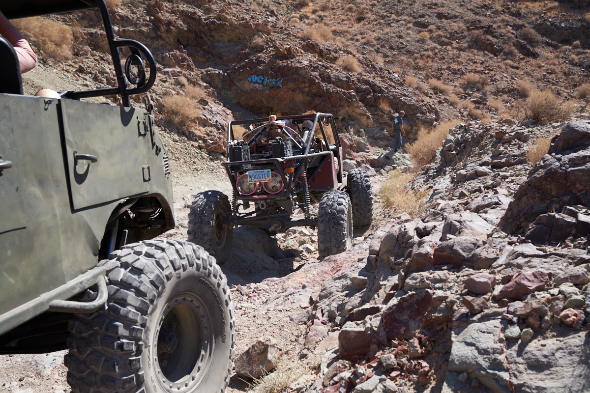
Note the
blue "sign" on the rock wall on the left of the photo
above. This is not a gang tag, but rather a trail marker
providing an ominous hint as to what lies ahead. The term
refers to the future state of your sphincter. Above, the
group dismounts to inspect the obstacle. The broken rocks
in this area are very sharp and a major hazard to the sidewalls
of your tires.
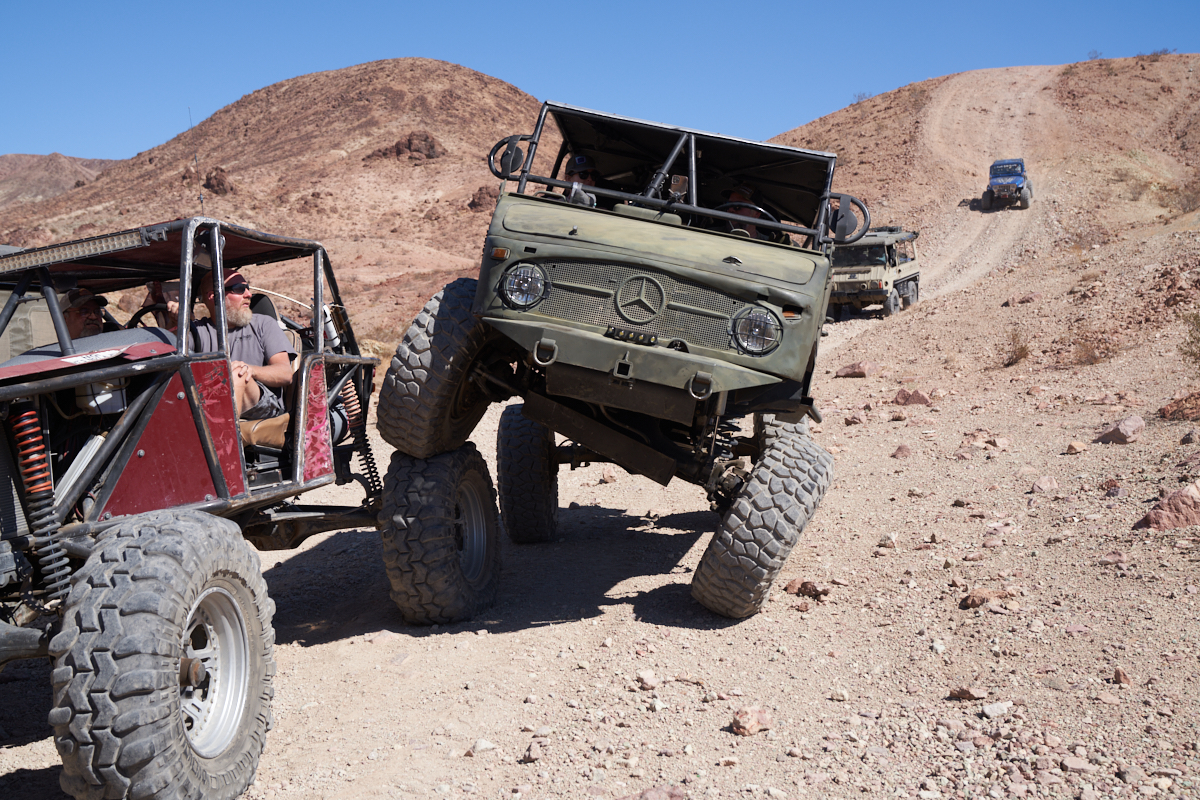
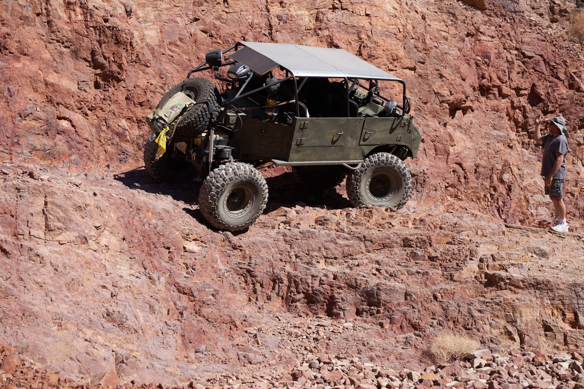
Joe
leads the way down this portion of the trail.
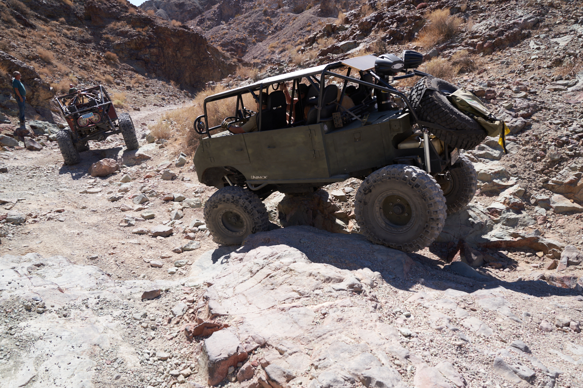
Careful
path control was needed to traverse the crevice.
The
trail got too narrow for Eric's truck so this was the end of the
road for us. We watched as the smaller vehicles passed the
first choke point.
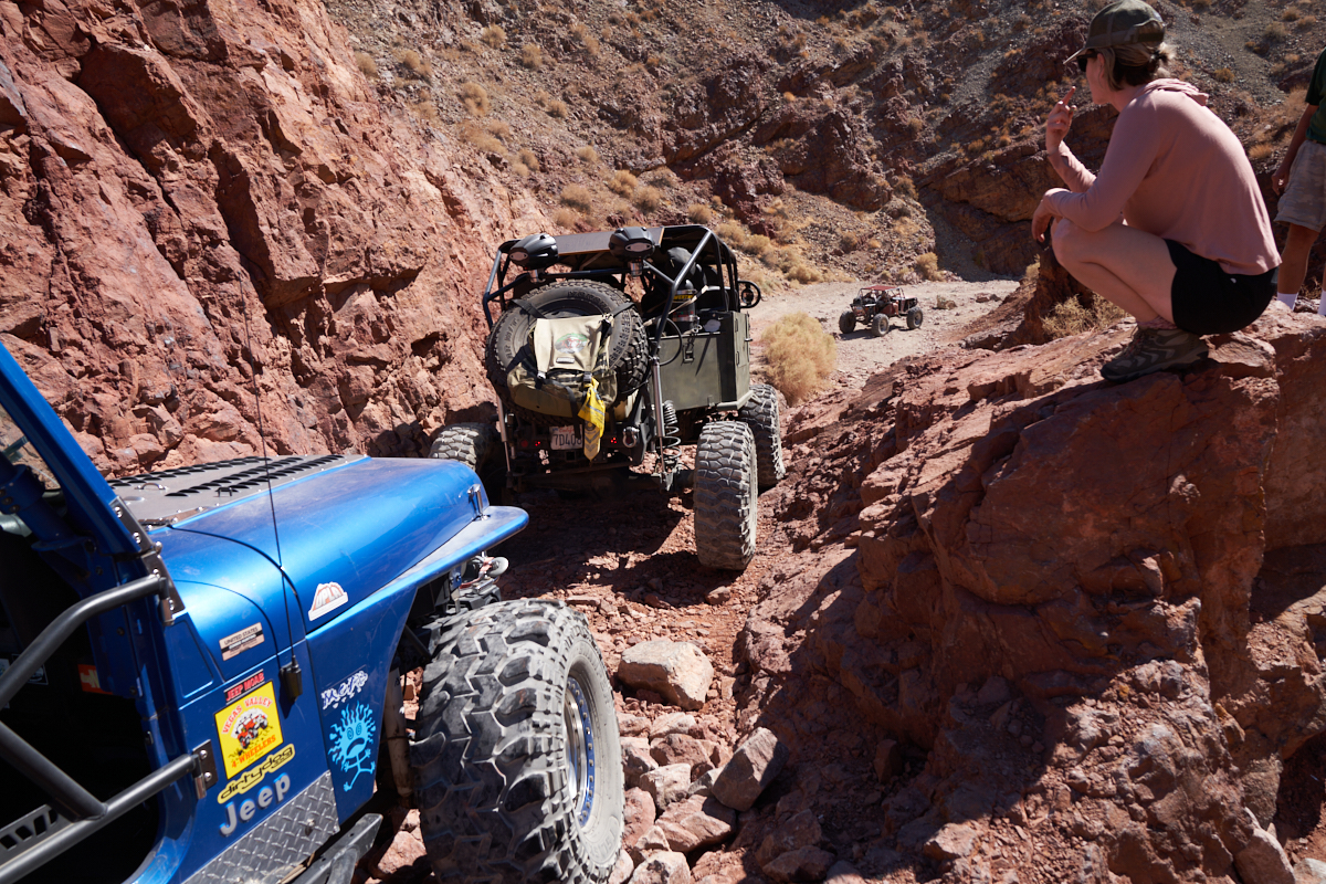
The
narrow 404 filled the entire slot.
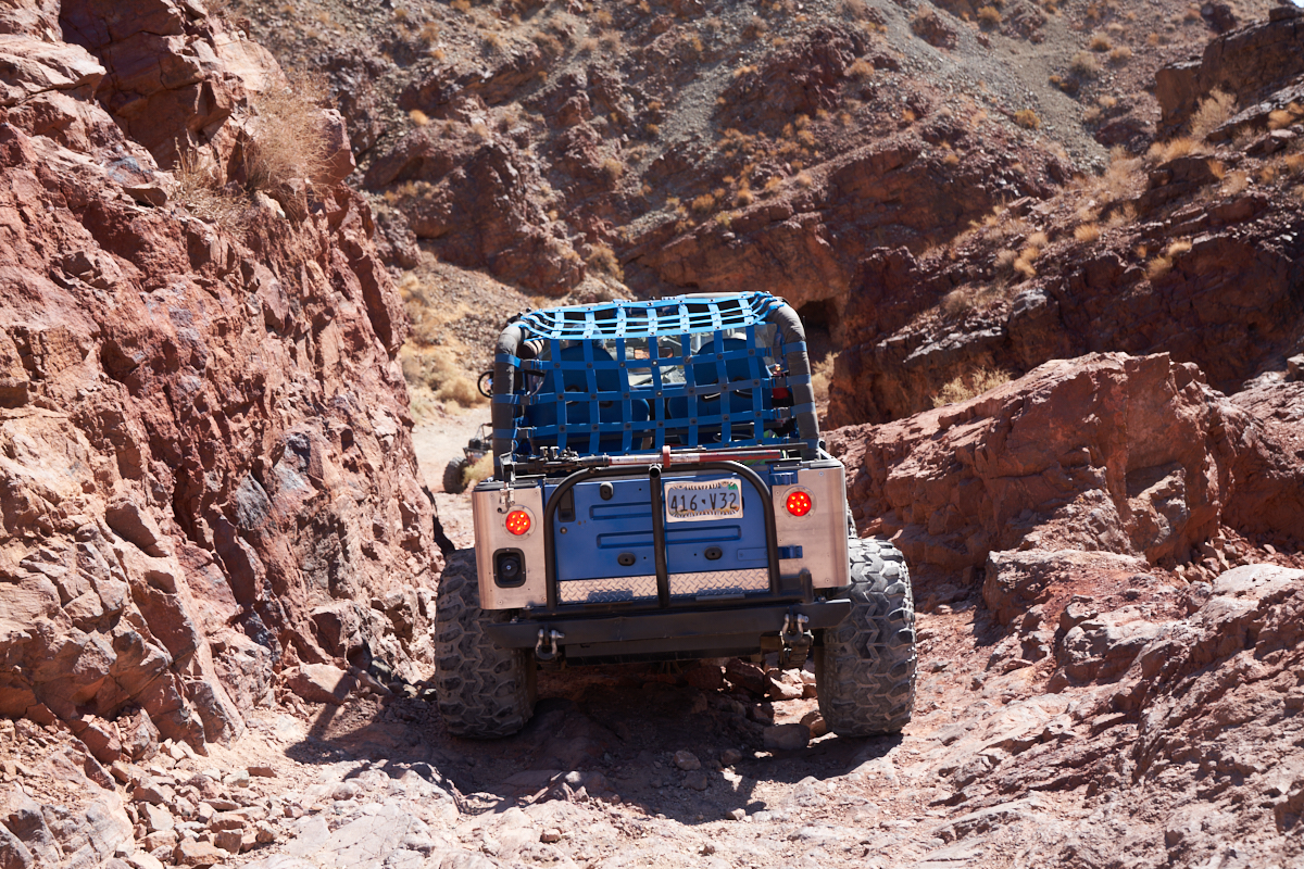
The
pucker-point. The trail has eroded leaving a narrow,
very-off-camber notch in the path.
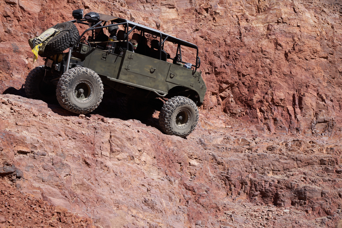
Joe
provides guidance. We could hear the gasps coming from the
cab as the 404 passed the wash-out. Good axle articulation
and steely nerves are required to successfully pass this
obstacle.
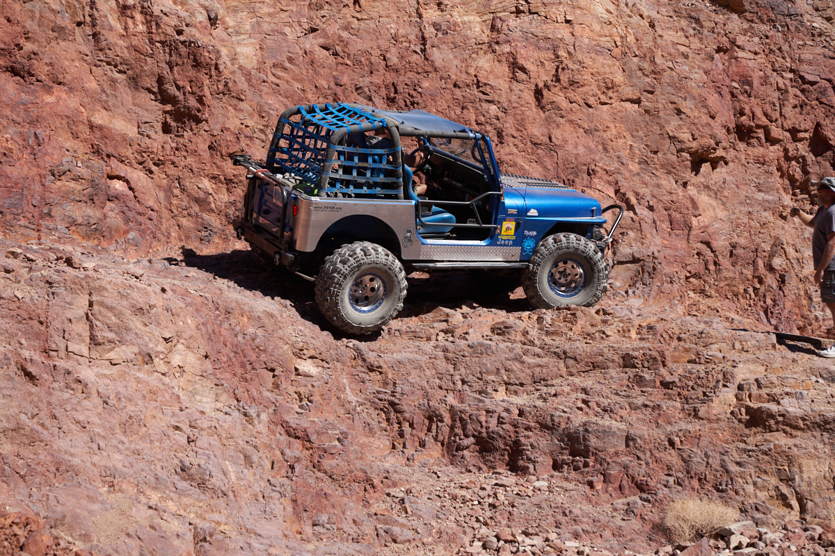
The
Jeep's shorter wheelbase made this a scary obstacle.
The Calico area has many, many trails that span the gamut from "just a dirt road" to "are you joking?". Our trail for the day was in the middle of that spectrum and it was good to see that the drivers exercised good judgement about their abilities to handle intense obstacles. Of course, when the vehicle does not fit on the trail, the decision is easy.
| Previous Adventure | ||
| Trip Home Page |
Photos and Text Copyright Bill Caid 2022, all rights
reserved.
For your enjoyment only, not for commercial use without attribution.