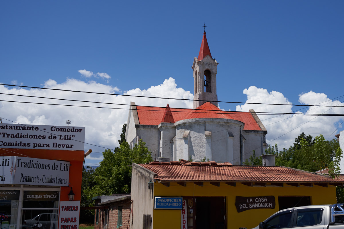
The
casino in Alta Gracia was a fine place. Kathleen and I hit
the hot tub and then walked into town to get some pollo asado.
There was some confusion during the ordering process and we got
WAY more chicken than we could eat and had no frig in the
room. No matter, the whole bill was $10 and we ate until
we were full. The following morning we checked out
and left Alta Gracia en route to San Luis on our way to Mendoza.
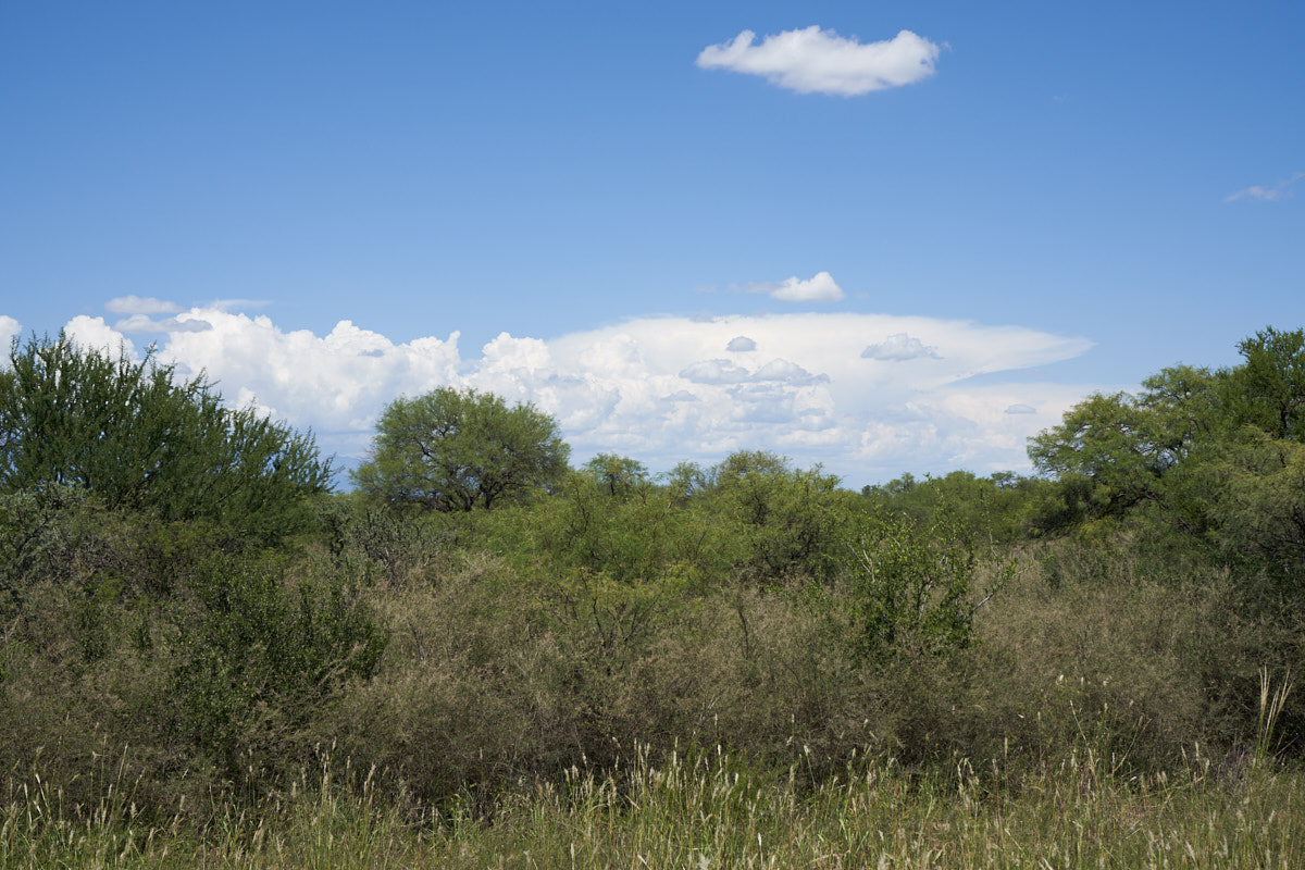
The photos below are what we saw.
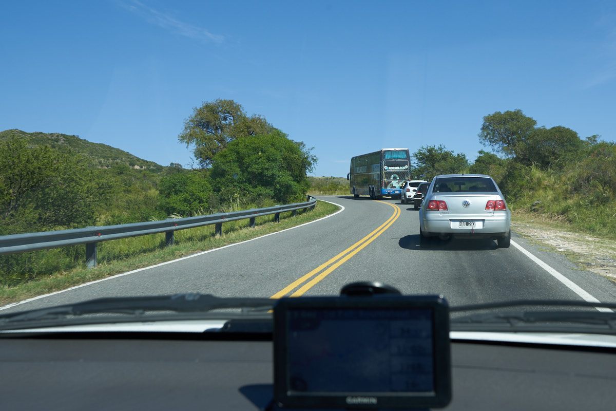
We chose
a short-cut to get to the main highway. Sadly, so did this
double-decker tourist bus. He was slow due to the 12%
grade and the high aspect ratio preventing rapid turns. The
good news is that we were only a few cars back and even though
we had to wait 30 minutes or so, we did pass him.
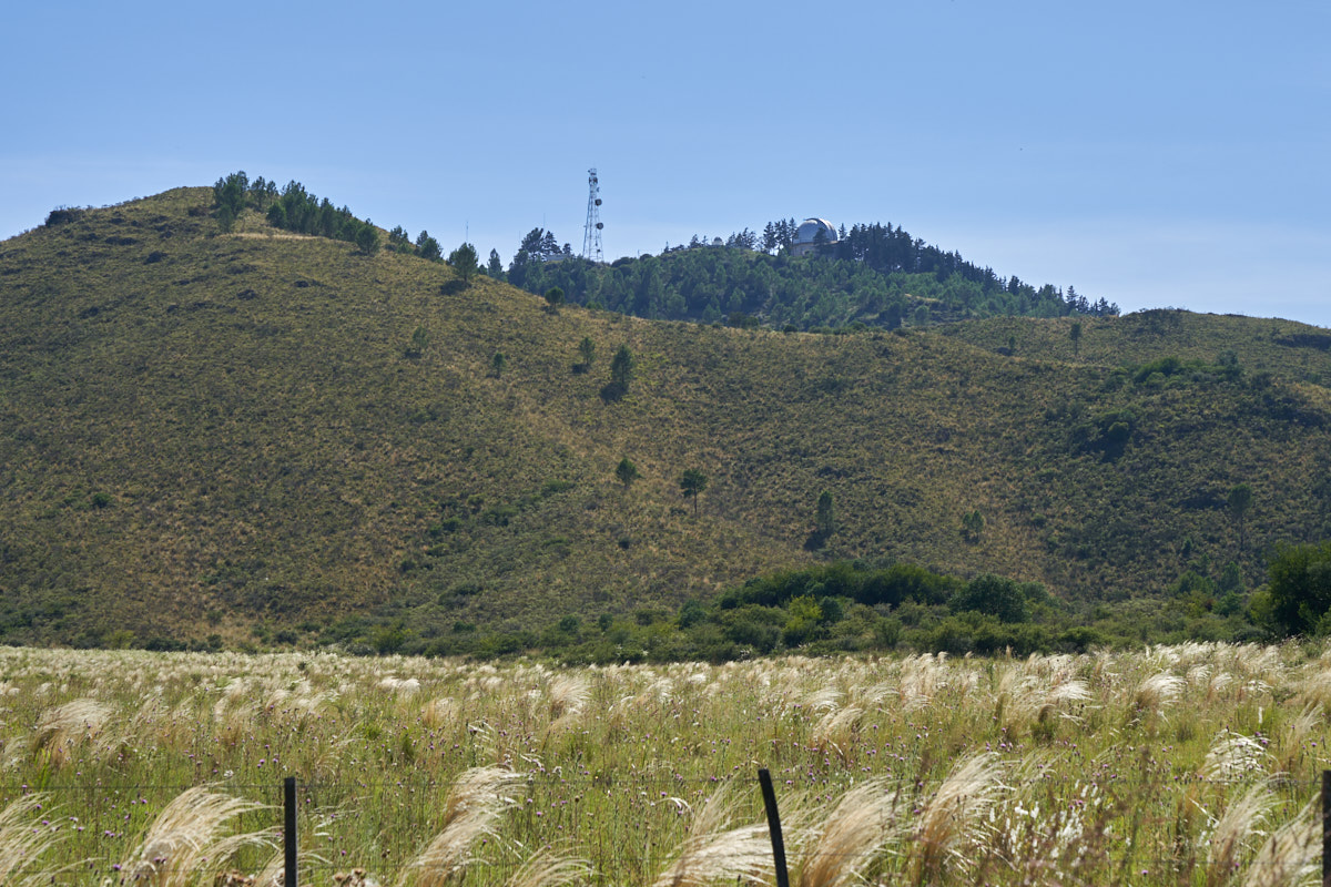
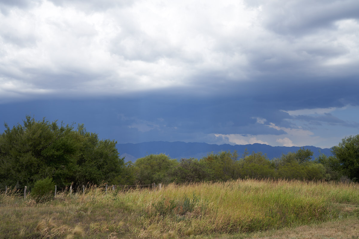
We traversed the
crest in the first mountain range and descended into the
valley beyond. We passed an observatory on the pass and
from below we could see the dome of the structure. The
fields near the road were covered in pampas grass.
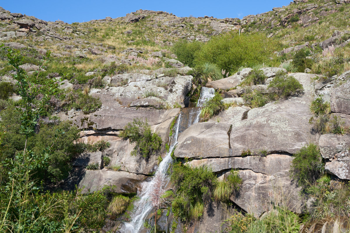
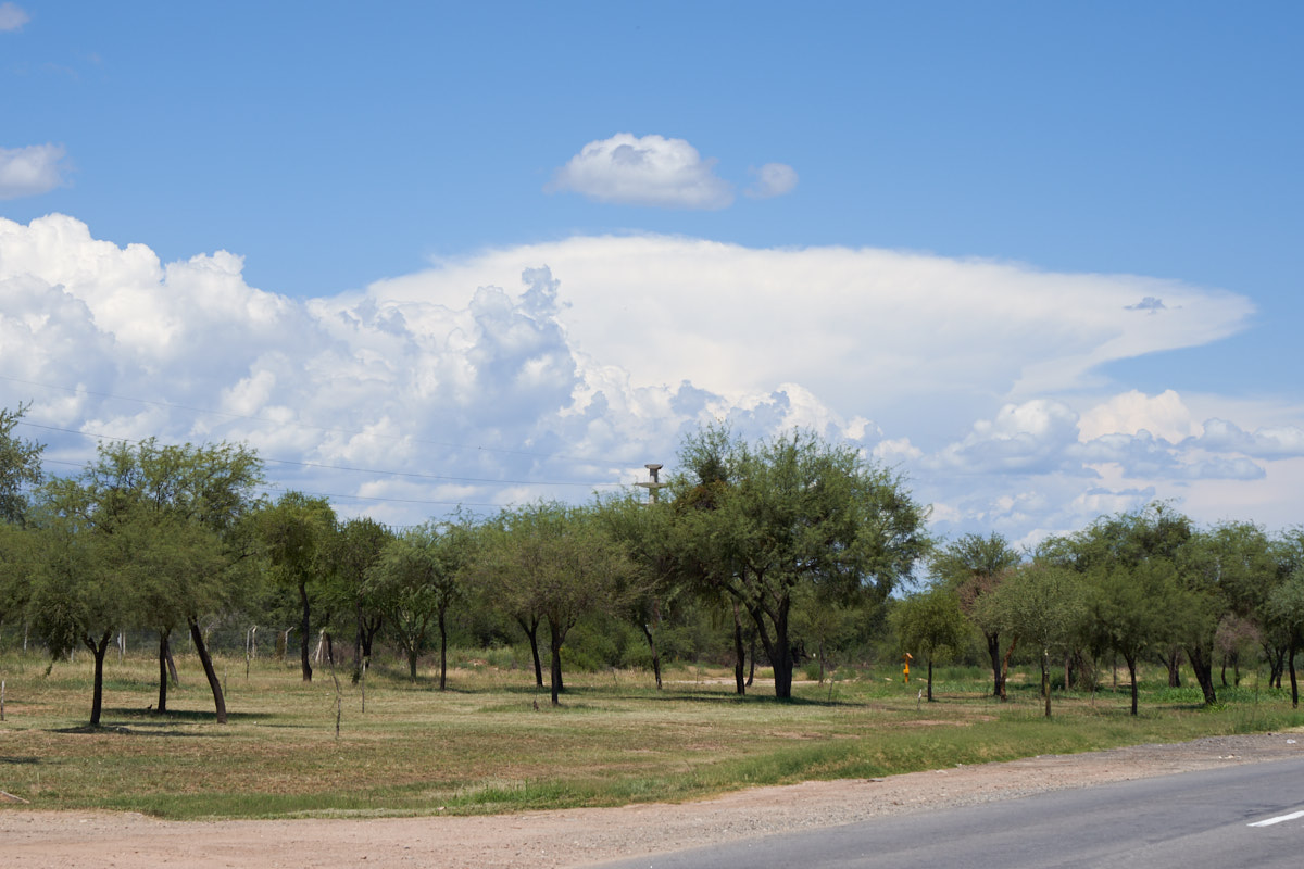
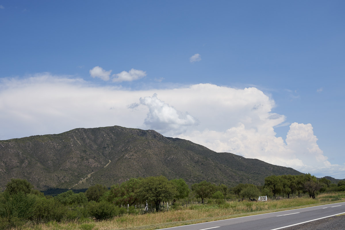
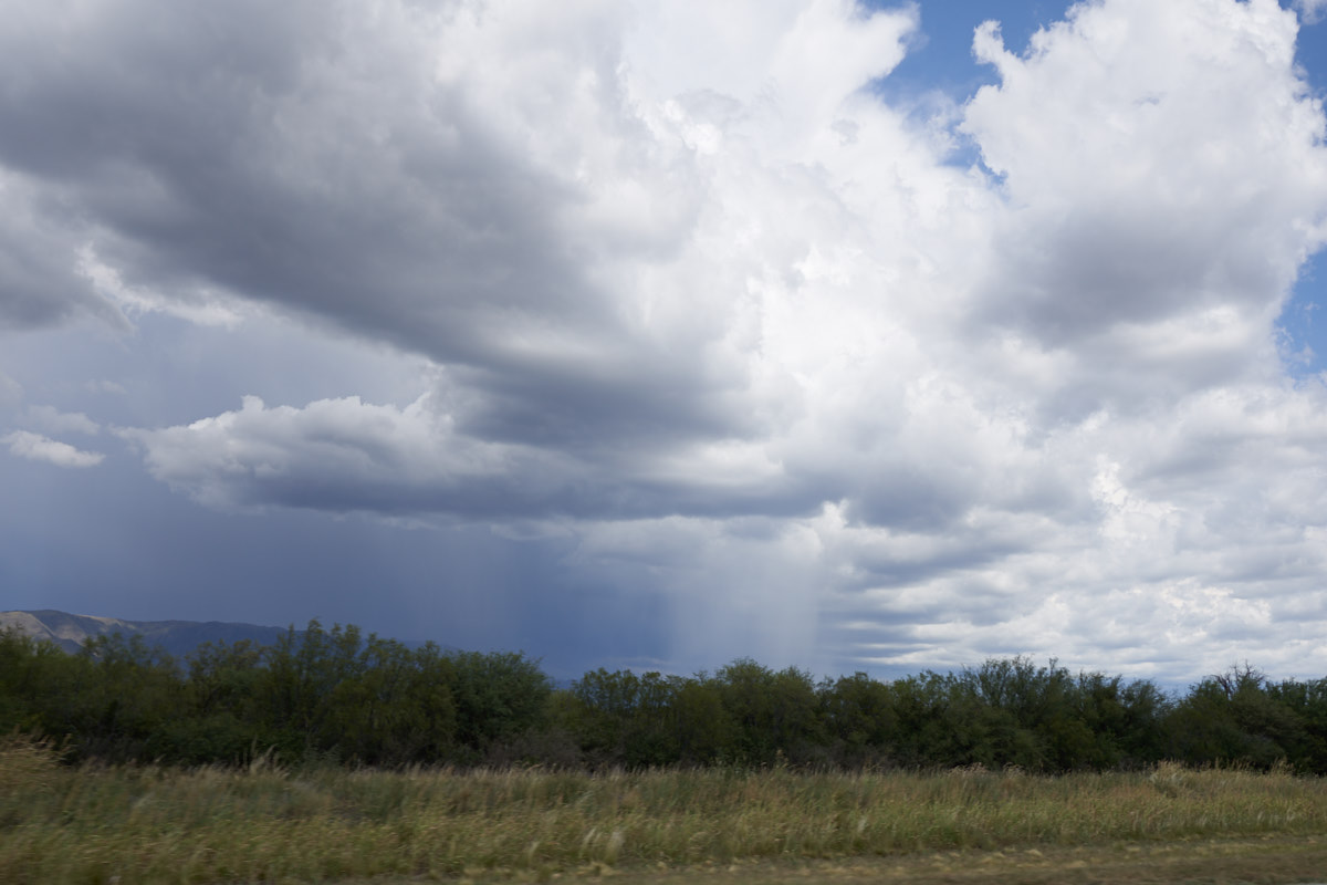
We hit
the main highway and ascended another range of mountains.
This range was about 7500 feet in altitude and was high enough
to get frequent rain resulting in a number of small waterfalls
that were visible from the highway.
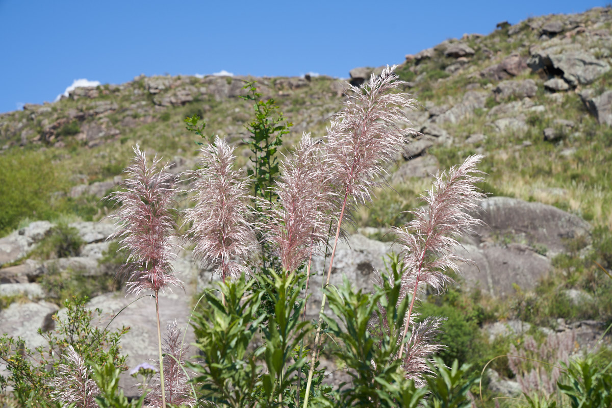
The
pampas grass was interesting with tall stalks to assist in
disbursement of the seeds by the wind.
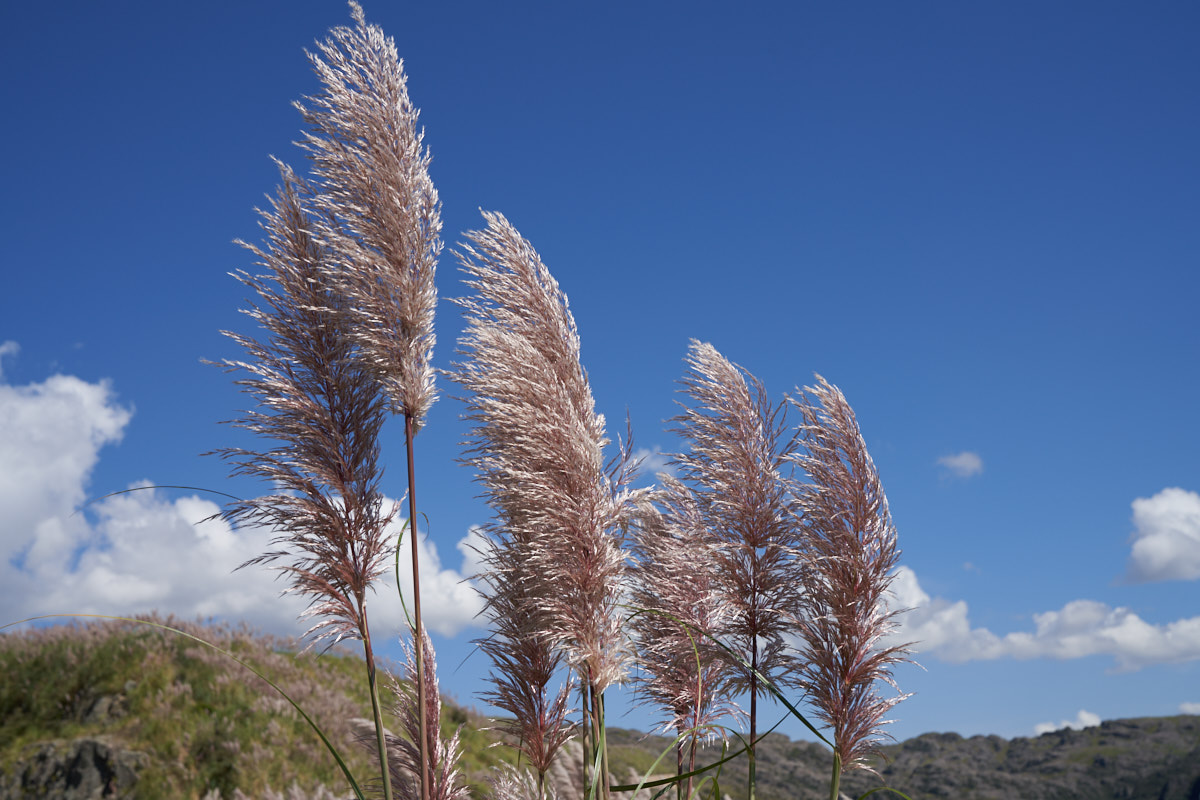
The
blonde seed stalks waving against the bright blue sky was a
magnificent sight.
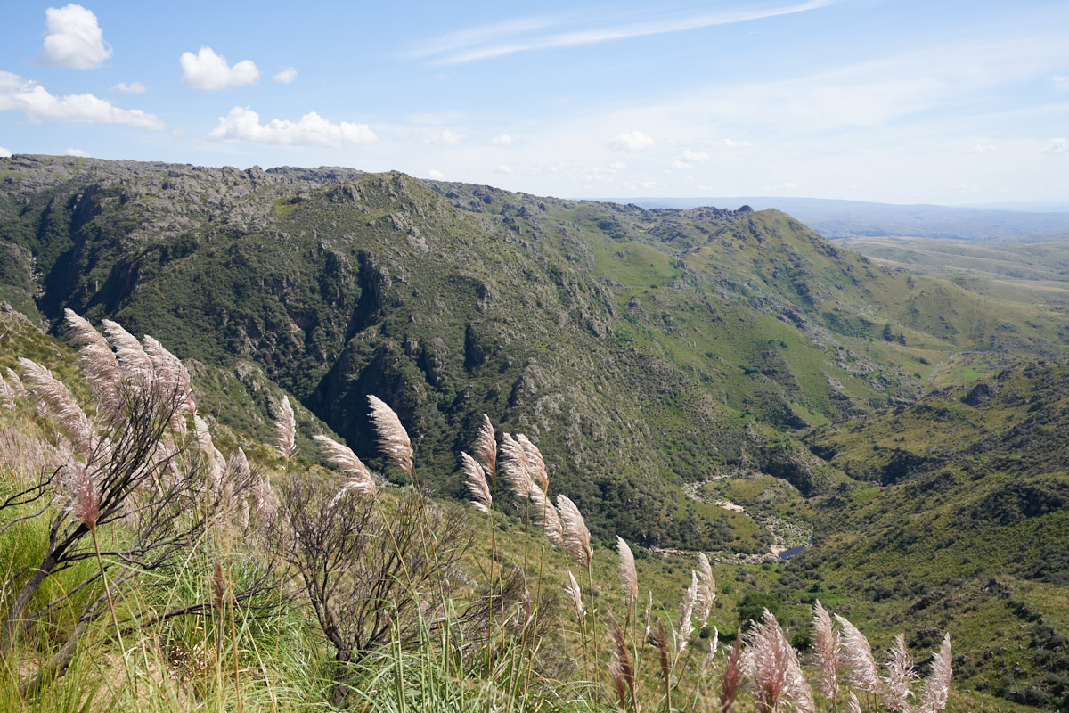
From a
pull-out on the highway near Condorito ("little condor") we got
a nice view of the steep canyons below.
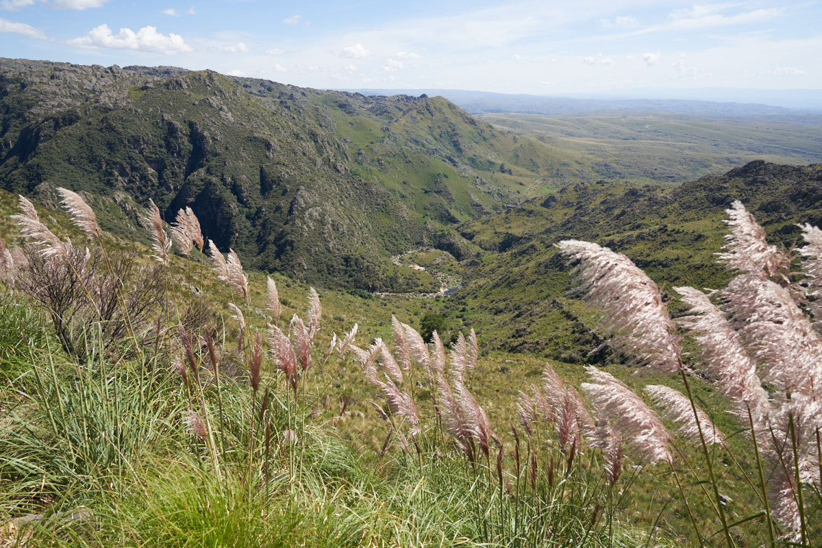
The
arroyo at the bottom of the canyon had only a small amount of
water in it.
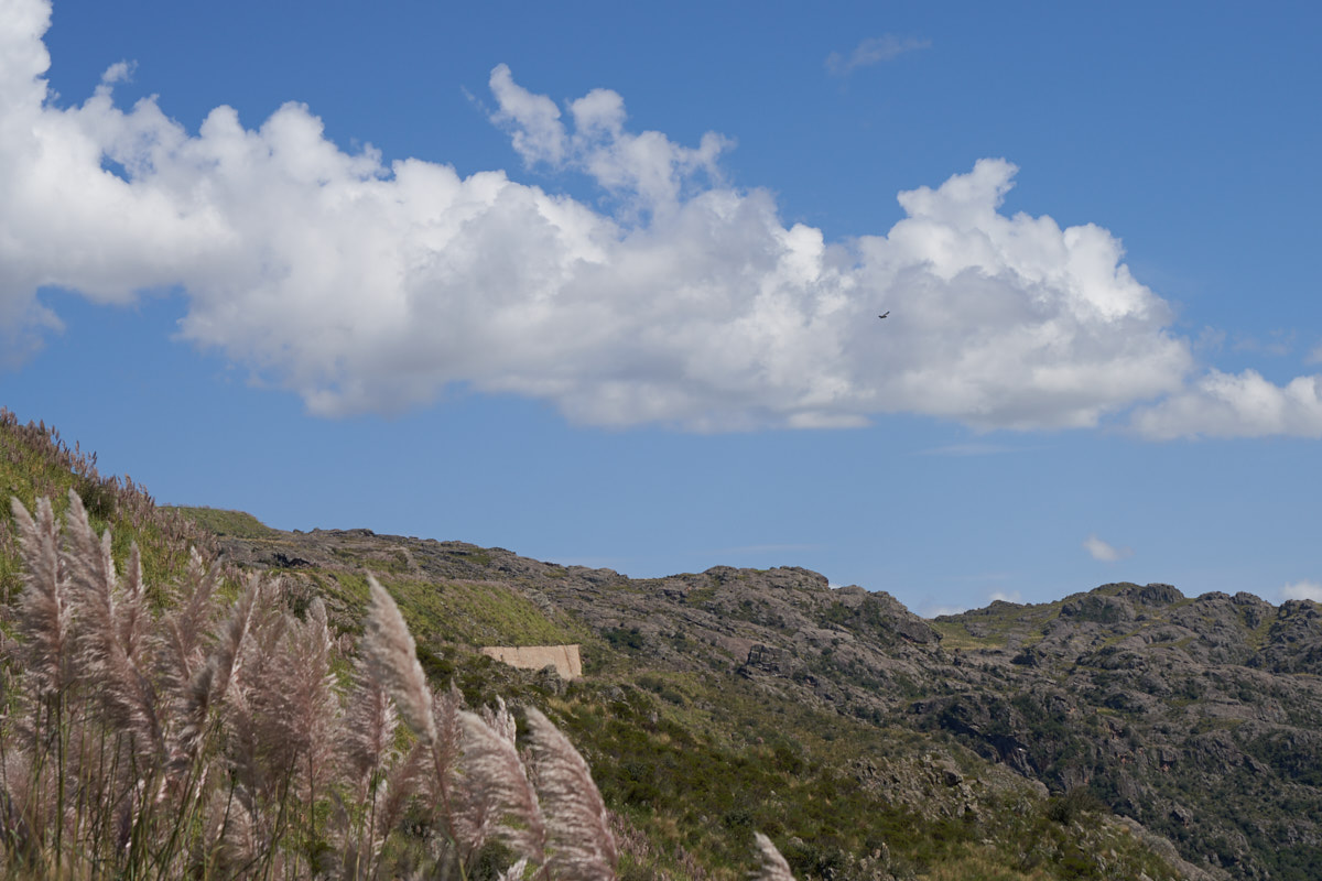
While
looking at the canyons, I happened to look up and spot a bird
circling above. Given the size of the bird, its distance,
and the name of the nearby village, I suddenly realized it was
an Andean Condor above. The bird is dark spot at the upper
right of the photo above.
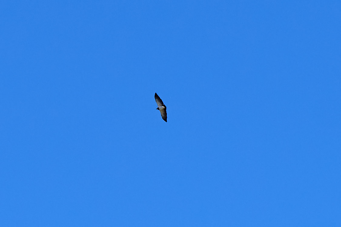
I quickly zoomed the
lens and hoped that the camera would focus fast enough to
catch it. While I needed a 300mm lens, I only had 70mm
on the camera but via cropping the image I was able to get an
acceptable image of the bird.
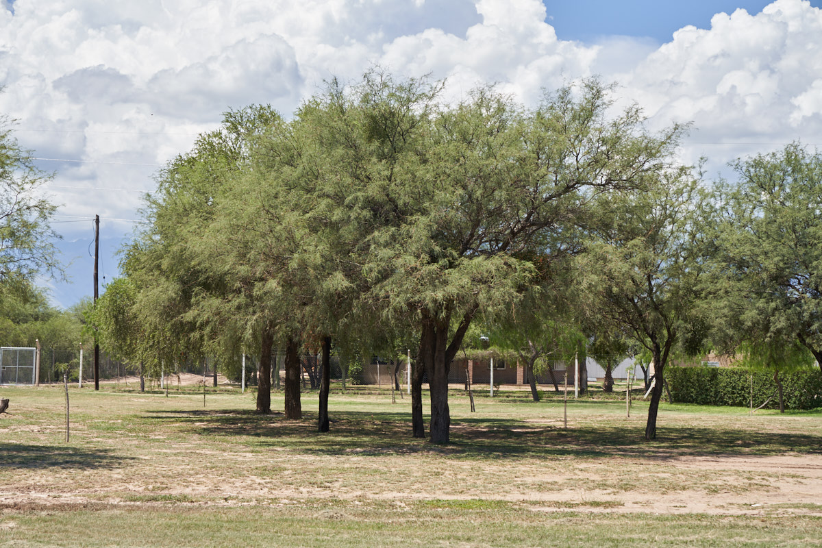
The
rocky mountainsides were mostly devoid of soil preventing the
growth of much vegetation.
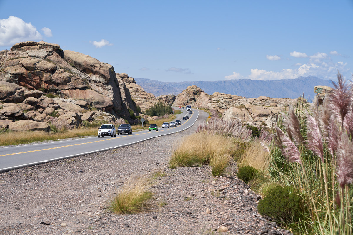
The
Argentines did a great job on the highway and were smart about
the construction process. When doing the road cut, they
allowed for expansion to multiple lanes, thus cutting the future
cost. The road was a 1+1 configuration with occasional
passing lanes on the steep grades, but the surface was in great
shape giving us a smooth ride.
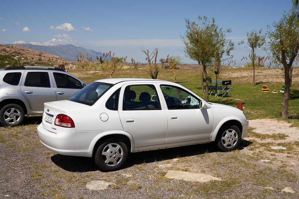
Kathleen
was hungry so we pulled over at a small roadhouse near the
summit. Our rental car was basic in every way: manual
transmission, small displacement motor, manual door locks,
etc. But, it ran fine and had enough power to pass on
moderate grades. That said, the ride was "small car" and
rough and it lacked sound insulation which made for a noisy
ride. But it DID have functional air conditioning which
was a must.
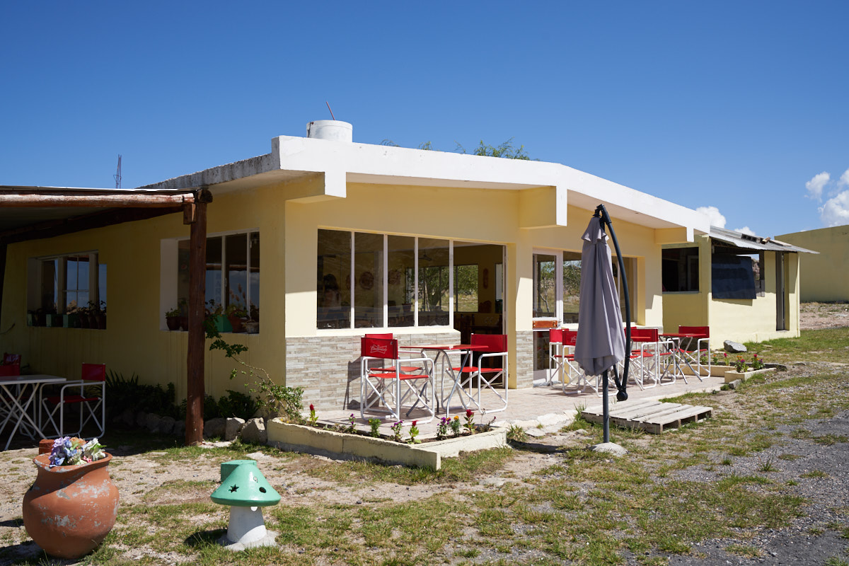
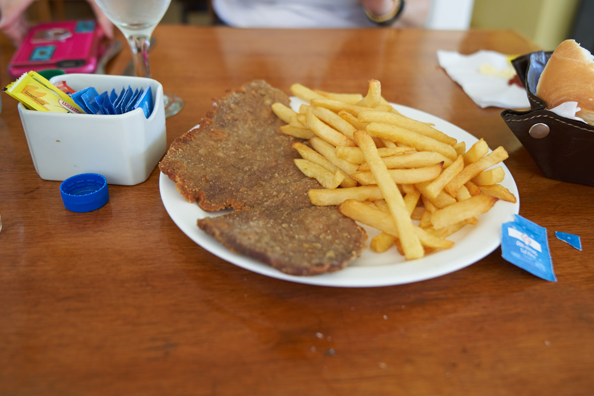
The
roadhouse was likely somebody's home at some point. It was
nice enough and the food was fine.
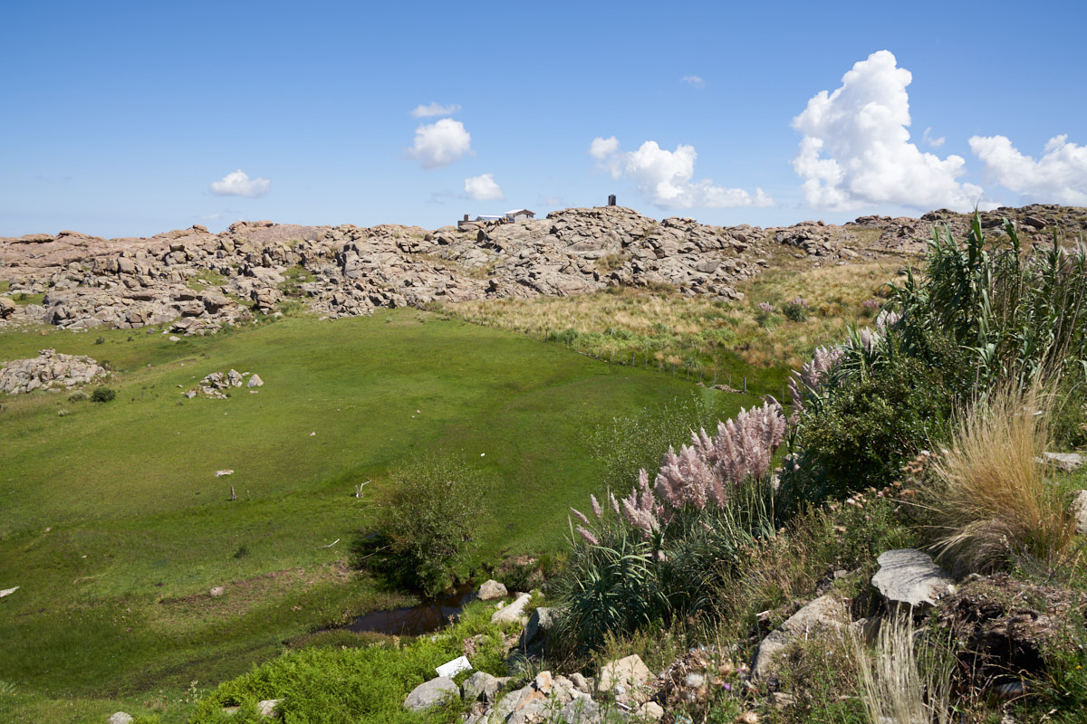
There
was a really beautiful pasture behind the restaurant with a
small spring and enough soil to have verdant grass. In the
distance, on the far ridge, there was another dwelling.
The structure on the skyline is a water storage tank.
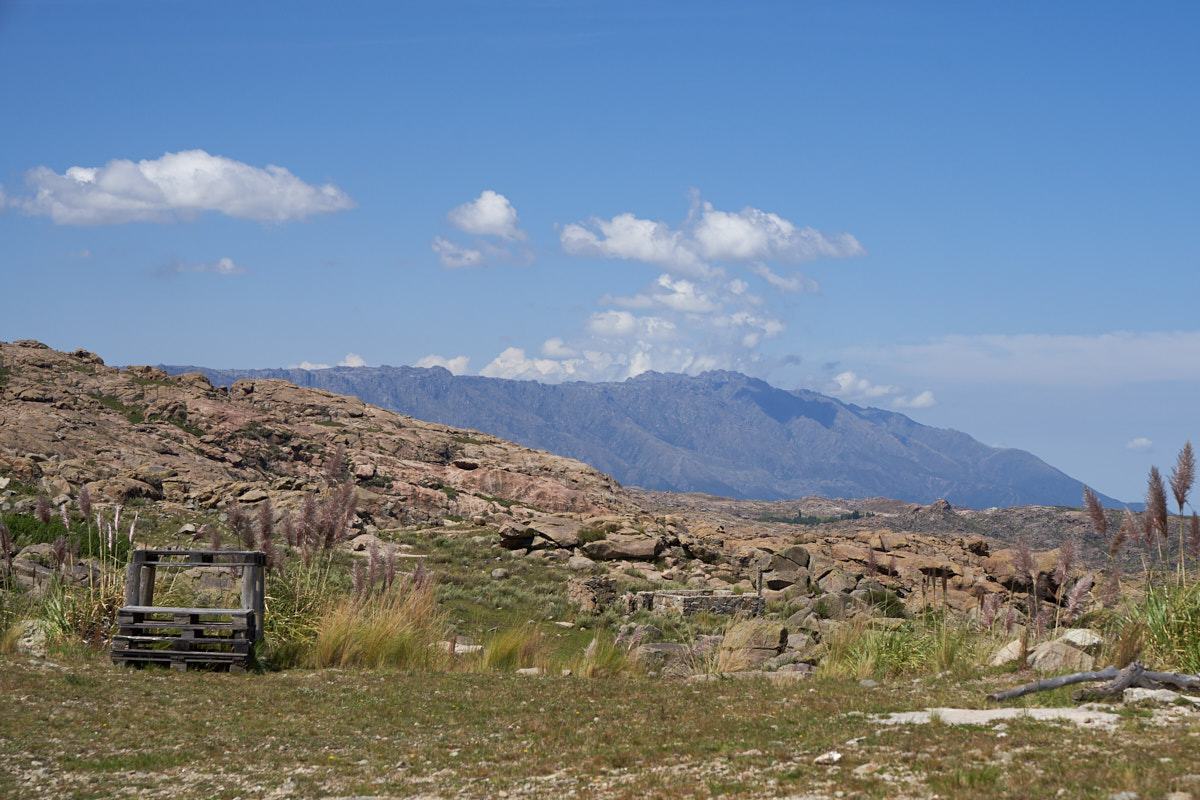
In the
distance from the parking area of the roadhouse, we could see
the end of the mountain range with steep cliffs.
| Previous Adventure | ||
| Trip Home Page |
Photos and Text Copyright Bill Caid 2018, all rights
reserved.
For your enjoyment only, not for commercial use.