We
spent the night in Humahuaca at an adequate place. For
dinner, we walked into town and chose a local eatery. The
food was abysmal; I had a llama burger, which should have been
fine. But, the meat was cooked beyond belief so what I got
was a brake pad. It was served with a quinoa slurry with
some kind of goat cheese. I ate what I could handle and we
walked back to the hotel. Kathleen had an idea that we
could go to San Antonio de los Corbres the next day. I
agreed, but did not research what that actually meant; an act
that I would later regret. After breakfast, we headed
south toward Purmamarca.
The photos below are what we saw.
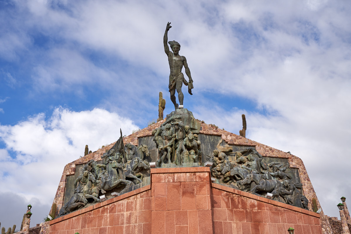
Before
we hit the road, we decided to hike up the hill to the local
monument to the local indian tribes. The morning sun
allowed a better view than the previous evening.
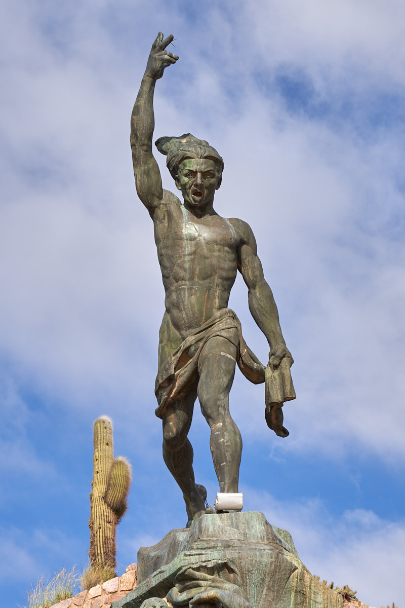
It was a
huge bronze statue and nicely done.
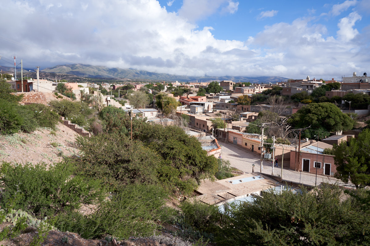
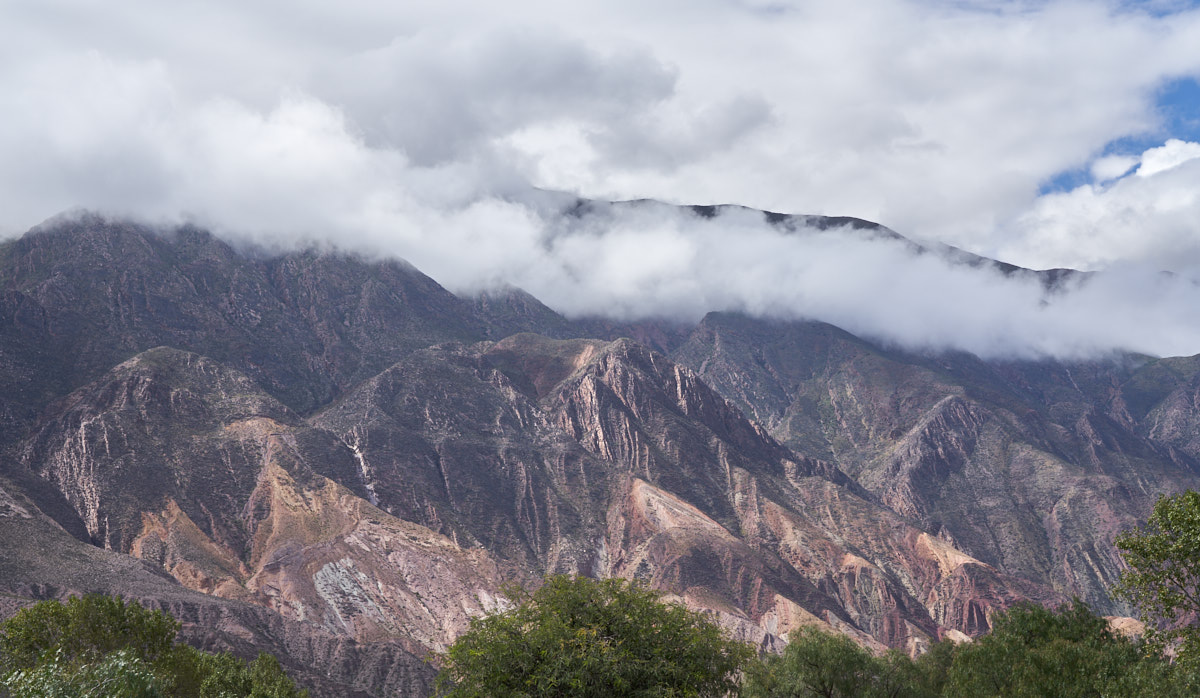
From the
hilltop that hosted the monument we had a good view of
Humahauca. The clouds from the previous night's rain never
really cleared and remained at relatively low altitude.
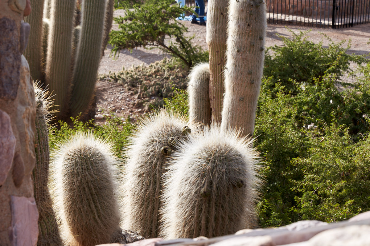
At the
top of the hill, we had a view of some cardones illuminated by
the morning sunlight. These are cruel cactus with dense
long spines.
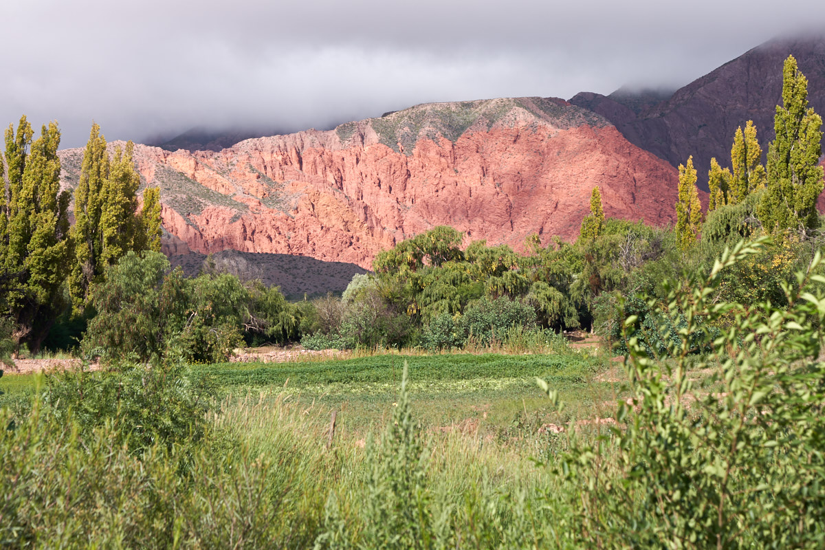
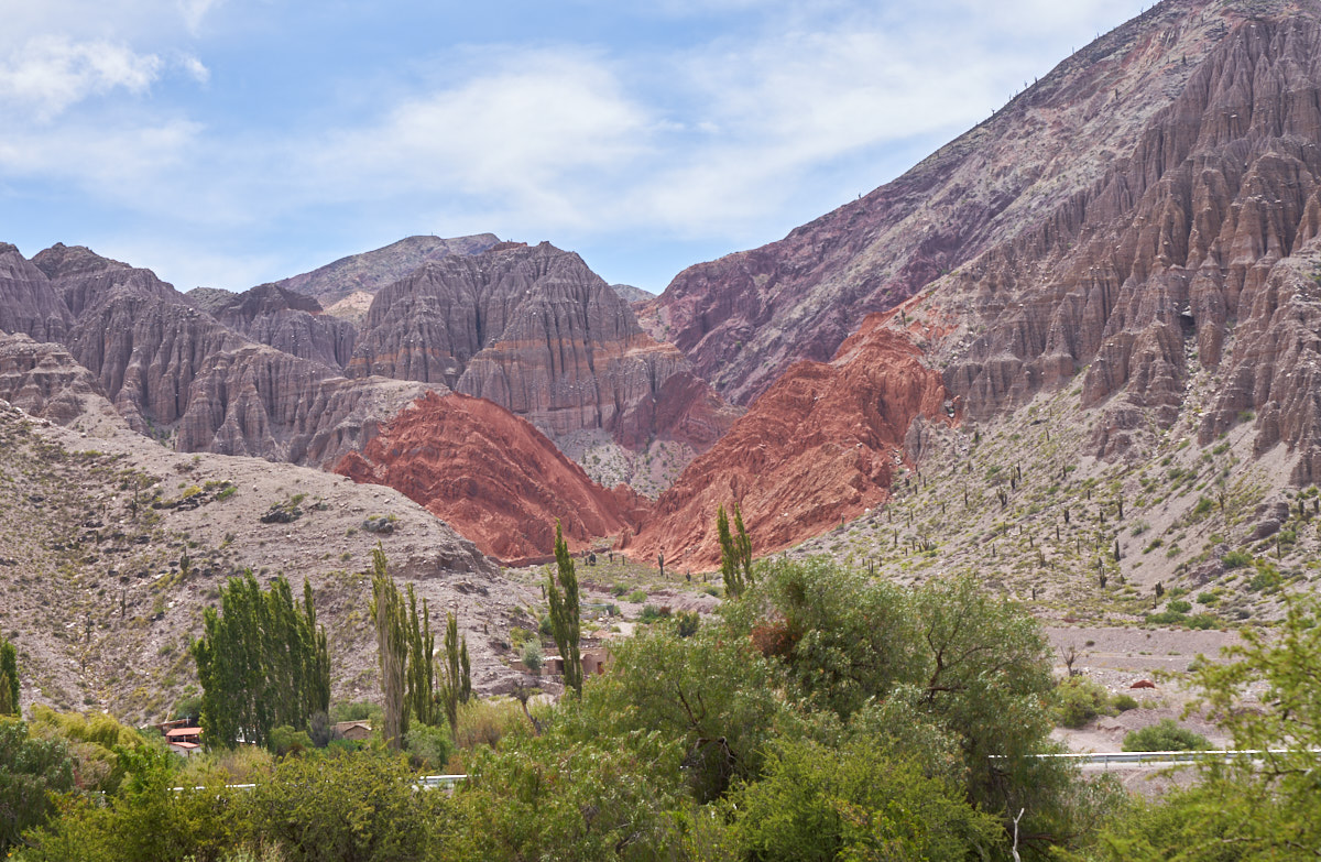
From
Humahauca we headed south through the Quebrada de
Humahuaca. The red sandstone cliffs were nicely
illuminated in the morning sun.
The
faults of the quebrada exposed multi-colored strata.
We elected
to stay in Humahuaca specifically so we would have the morning
sun on the cliffs. The views were magnificent.
Somewhere along this path, we crossed the tropic of Capricorn.
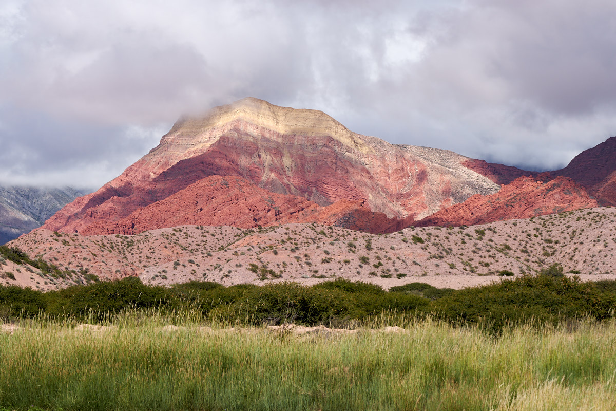
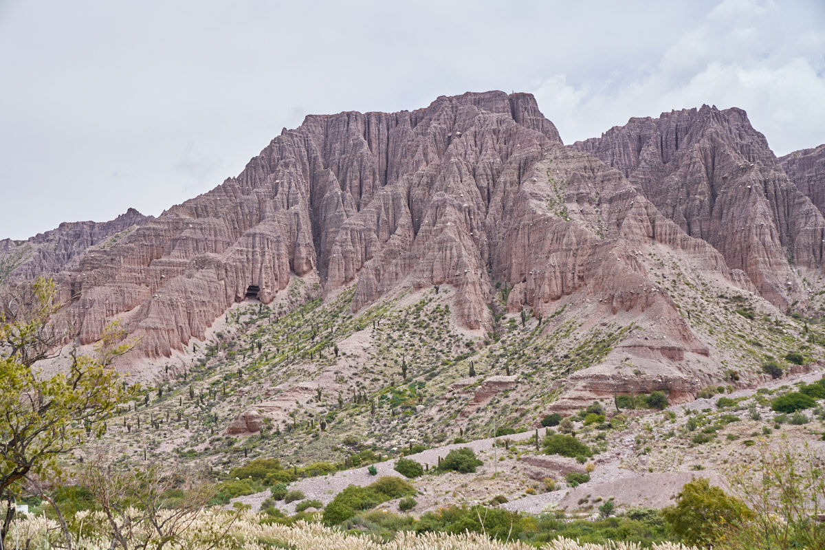
The
cliff line went on for miles and miles.
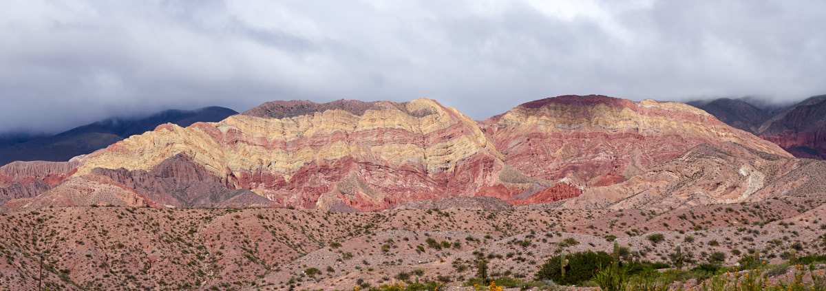
The deep
red cliffs were intermixed with tan and pink strata.
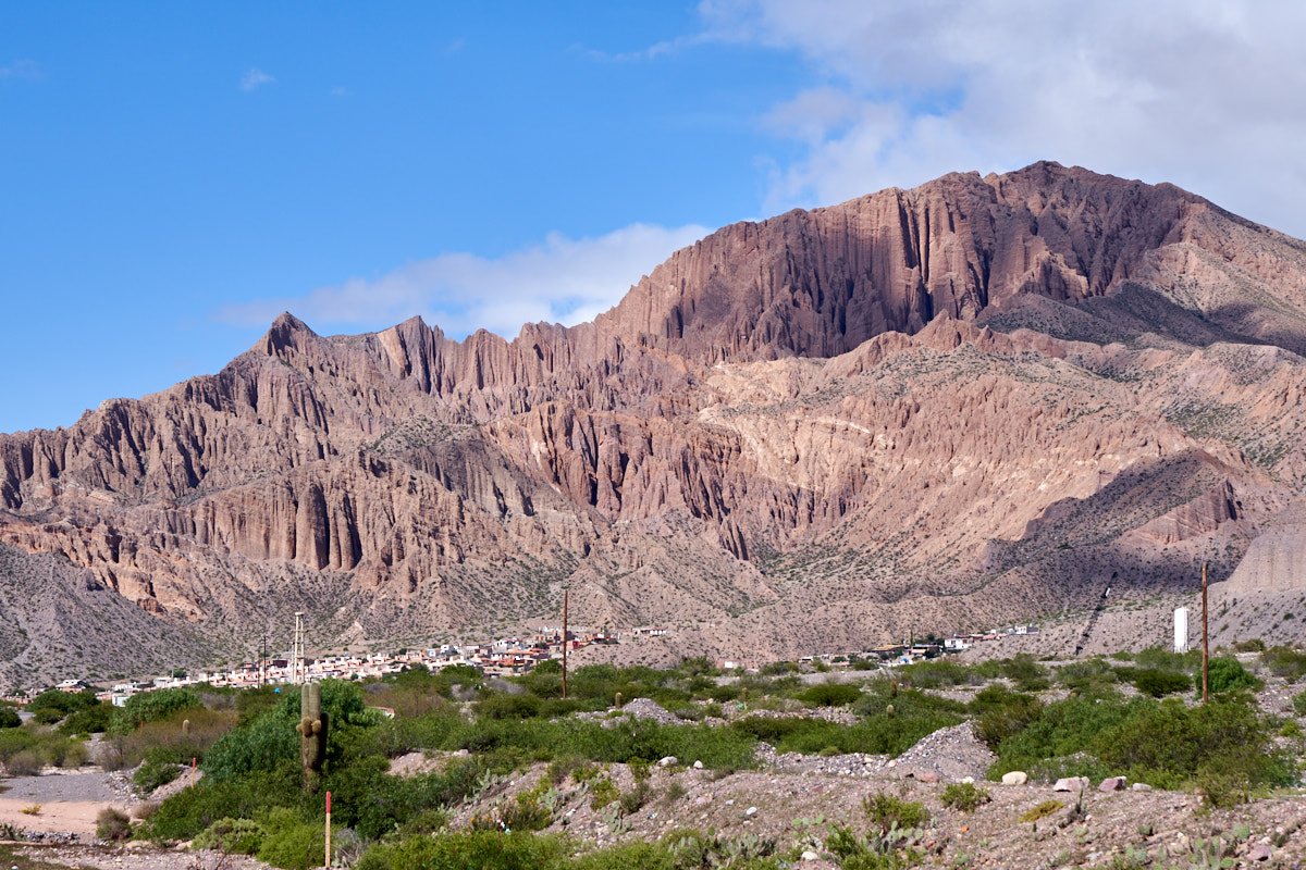
The
lower strata exposed in the quebrada were mudstone which eroded
into complex curtain-like shapes. Note the village at the
base of the cliffs, likely not a good place to be during a hard
rainstorm.
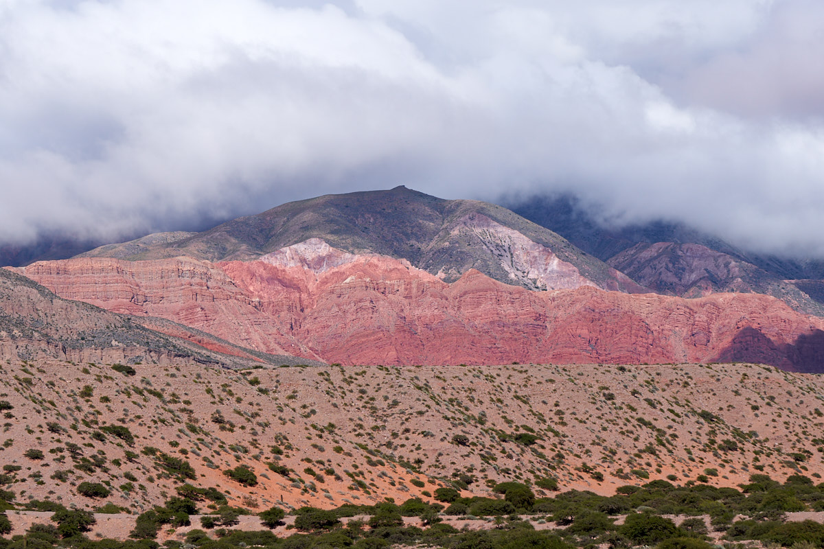
On the
opposite side of the canyon, the uplifting had created huge
flatiron structures.
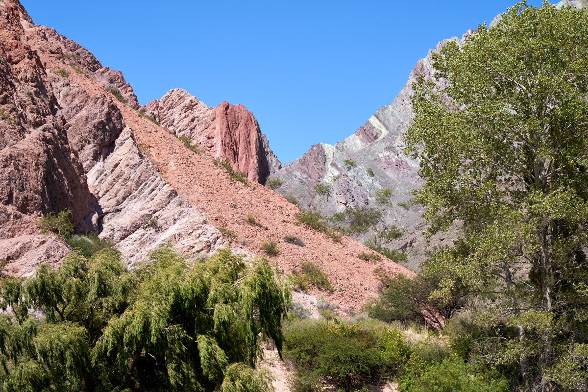
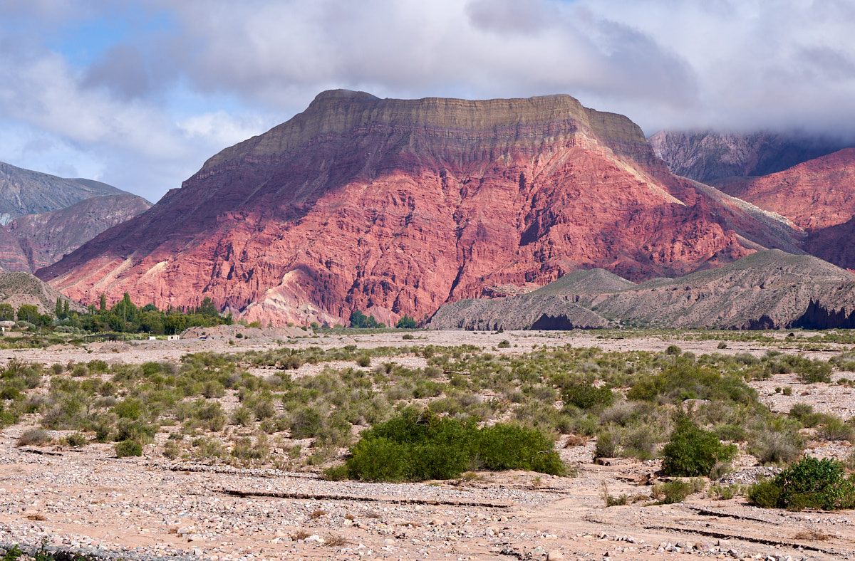
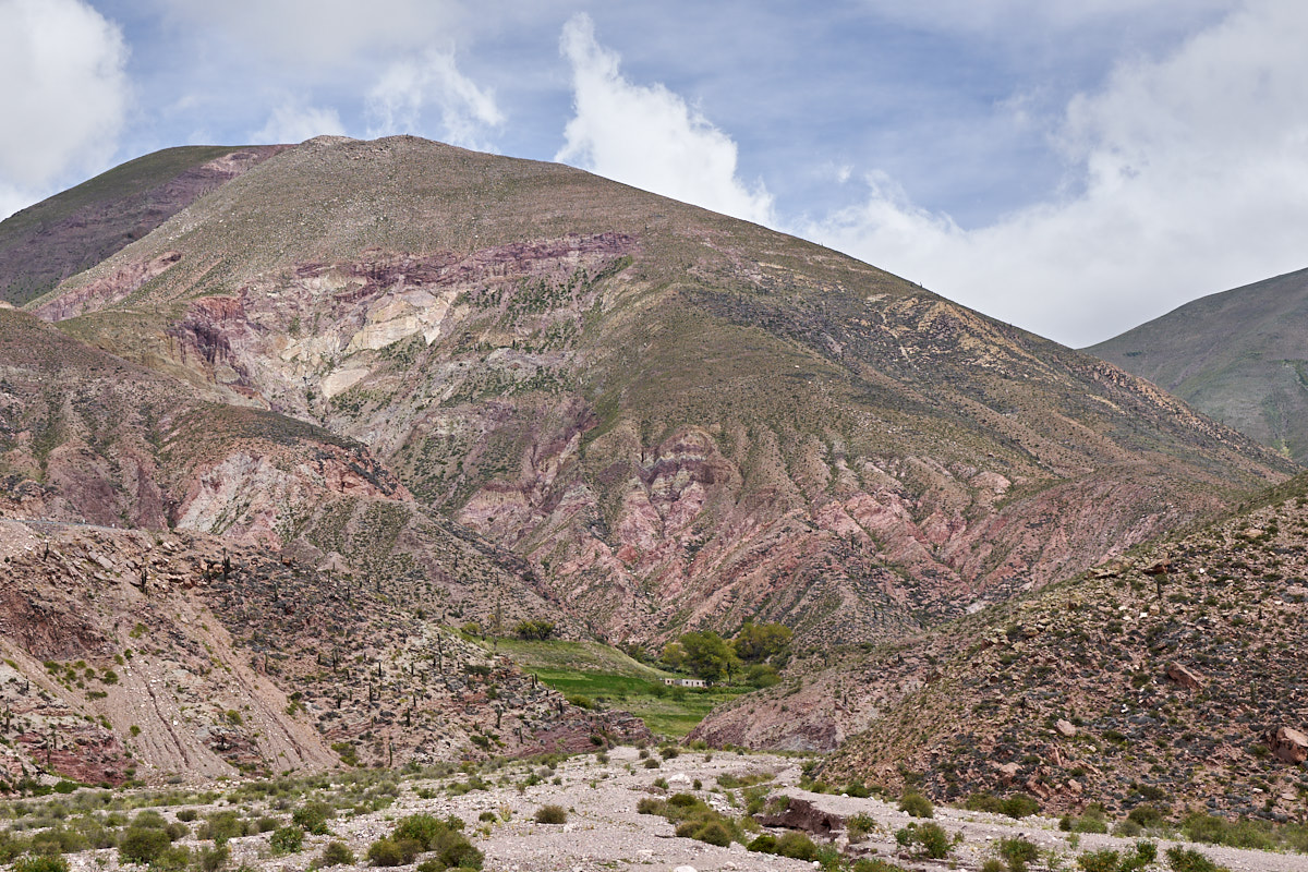
We came
to a particularly complex area in the fault zone. There
were grey, red, pink and white layers exposed with at least 4
separate orientations to the bedding.
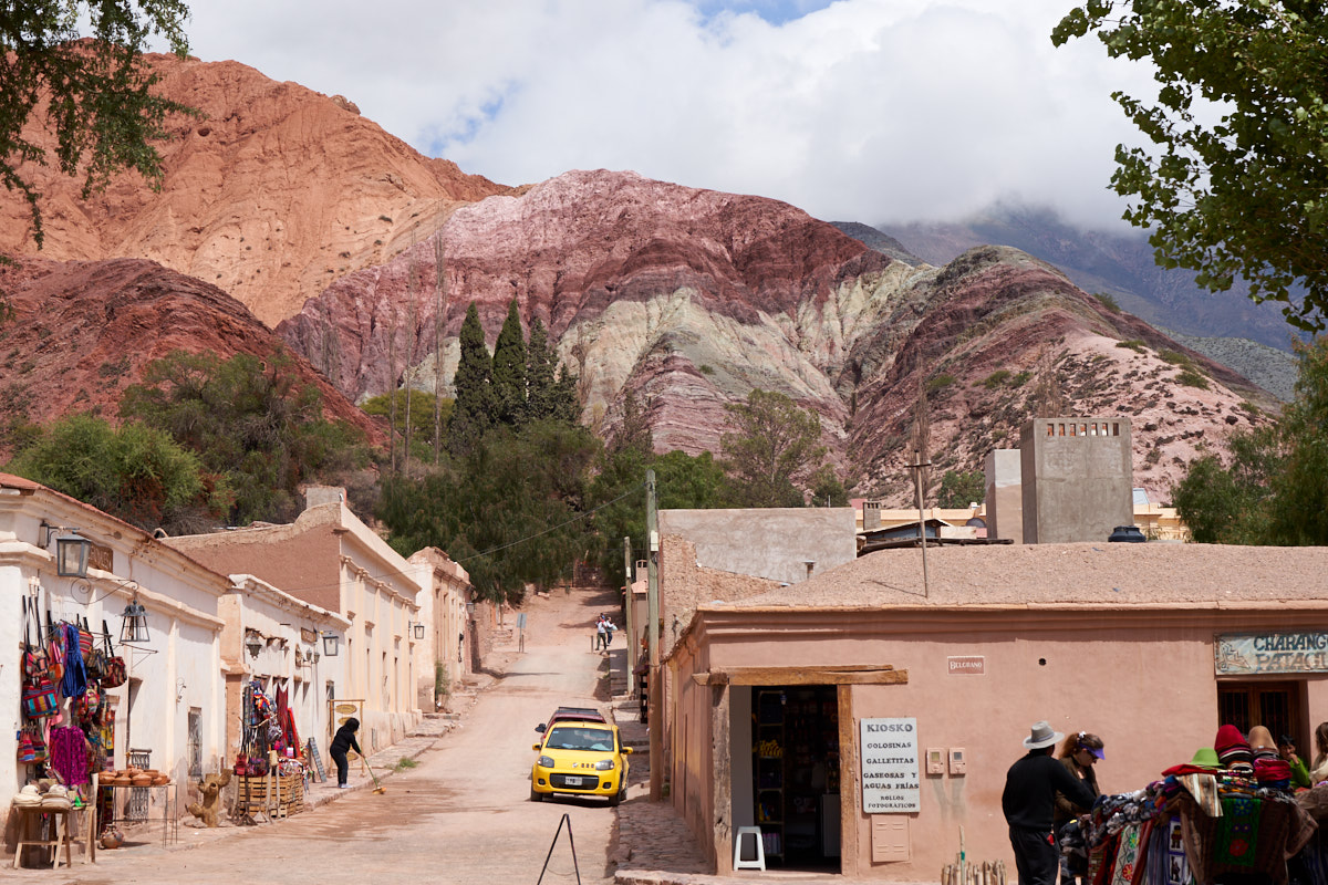
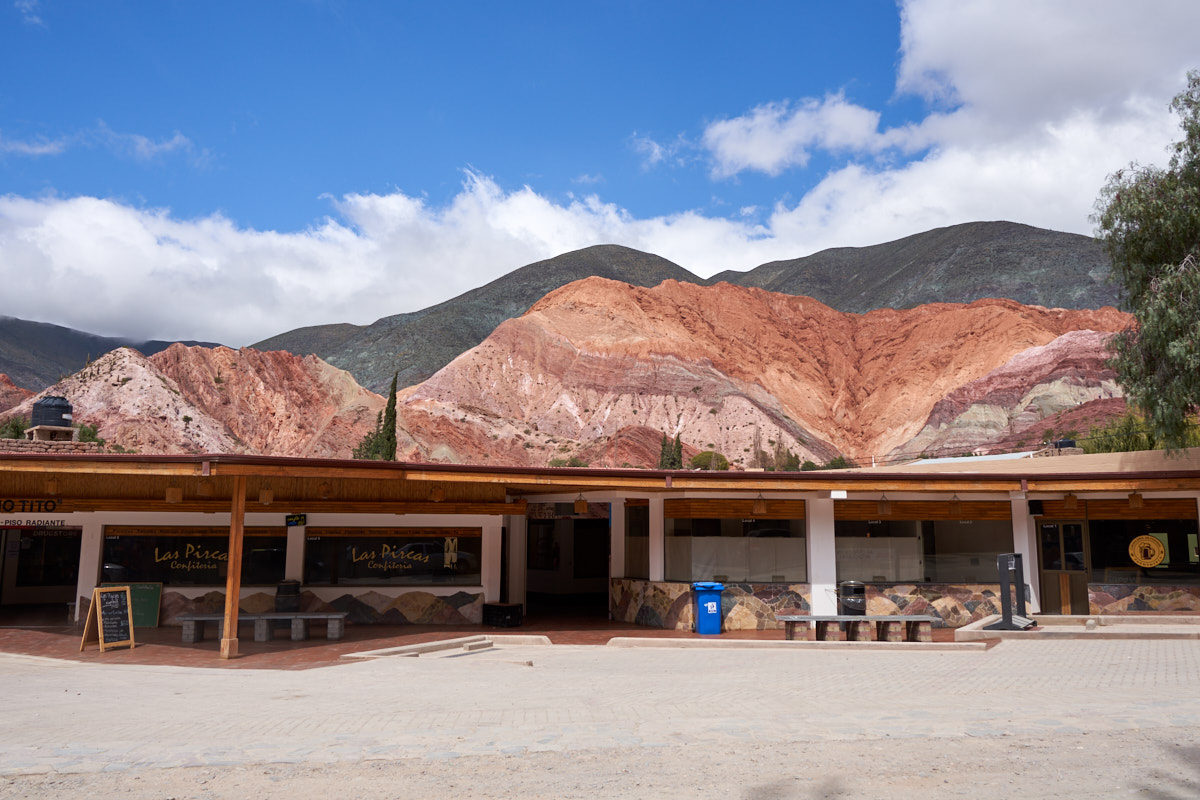
Our
initial destination was Purmamarca. We found a place to
park and hit the streets to see what was there. Purmamarca
is a tourist town that owes it fame to being at the base of some
particularly colorful cliffs in the quebrada. The narrow
cobblestone streets provided a method for the plentiful tourists
to get around the area.
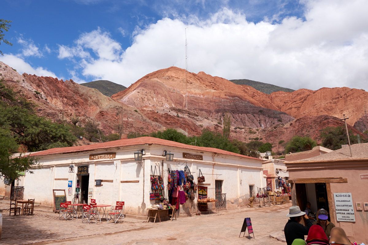
The
surrounding strata was very colorful and provided the perfect
backdrop to the quaint pueblo.
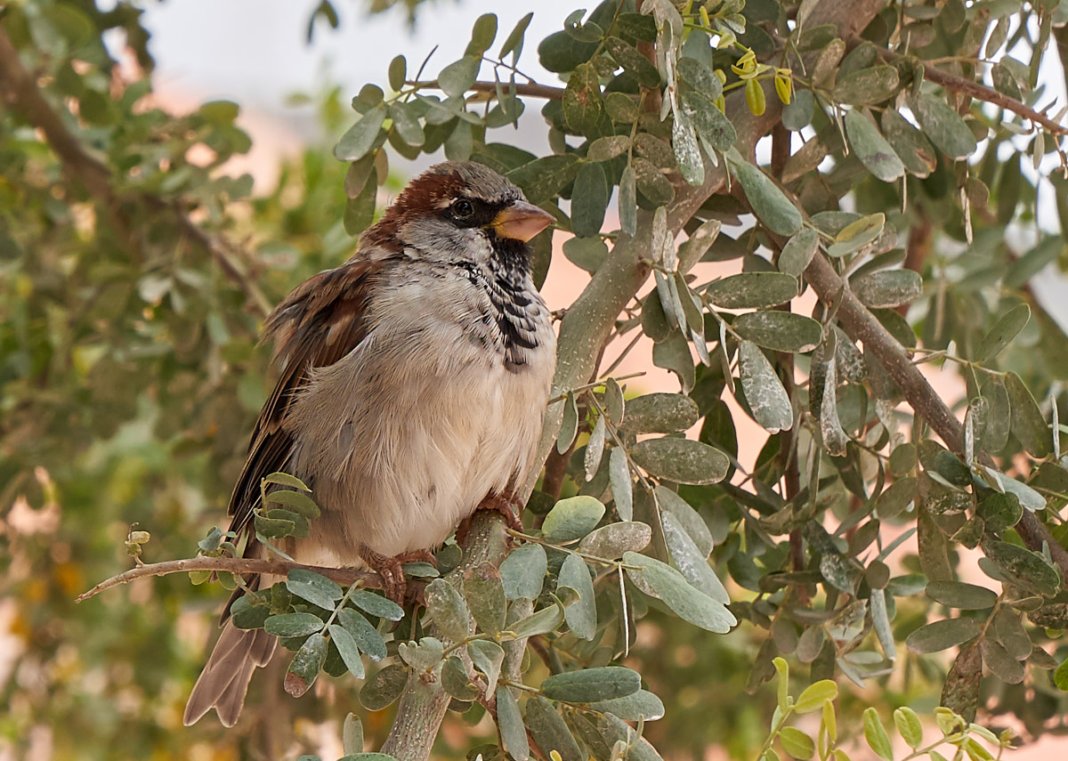
Kathleen
decided to shop for an alpaca sweater. I stood in the town
plaza and spotted this bird in the trees looking for a hand-out.
Walking
past the bus station we got a nice view of the layered cliffs.
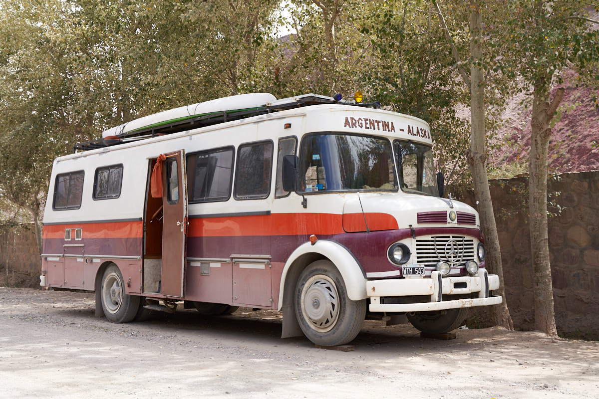
Here is
a man after my own heart. He has this MB 1114 bus
conversion and has targeted going from Argentina to
Alaska. Rather a long trip, but we have seen others with
the same aspirations using the same equipment in Costa
Rica. He is camped along the main drag in Purmamarca as
evidenced by the leveling blocks under the front wheels.
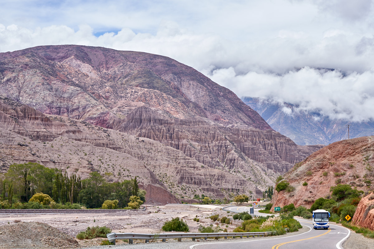
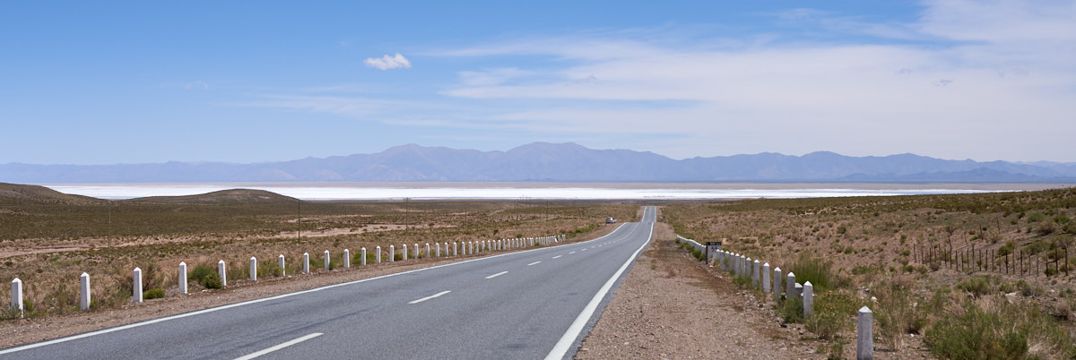
Kathleen
decided, based on some information she had gotten online, that
we should take the "highway" to San Antonio de las Cobres.
We headed out of Purmamarca and got some nice views of the
distant cliffs of the quebrada. Note the exposed red
formations in the center of the photo above.
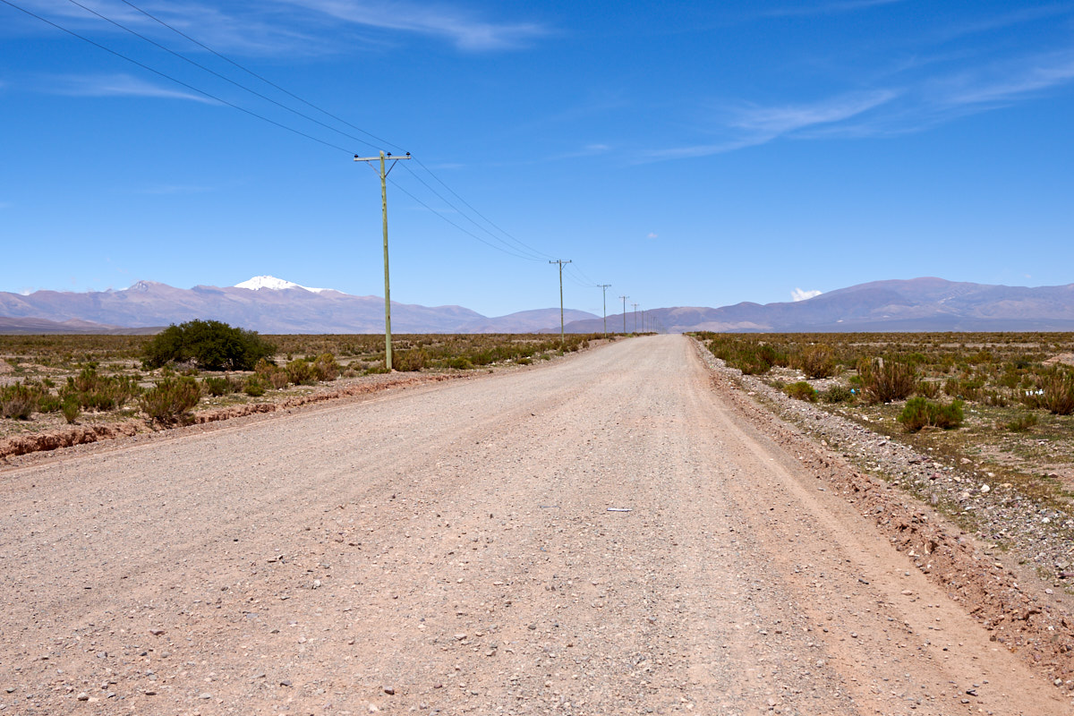
The road
followed the large arroyo that passed by town. In the
distance we could see huge mud curtains in the cliffs.
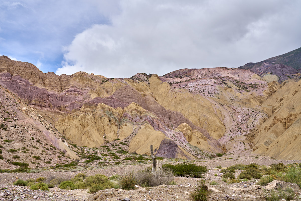
We
followed the highway into the mountains and passed brightly
colored outcroppings of intermixed colors.
On the
other side of the arroyo the mud cliffs became huge.
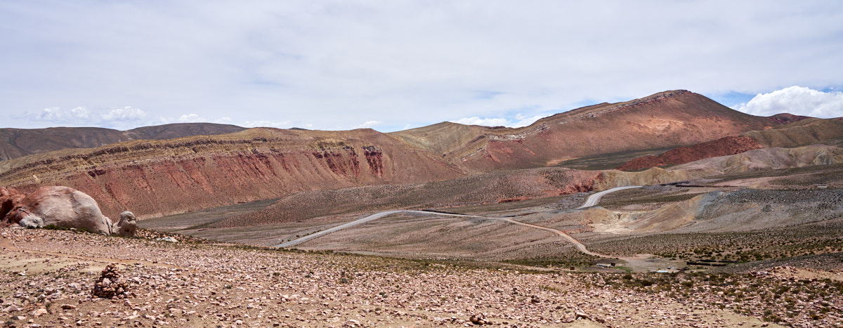
Further
up the canyon we came upon huge landslides that had broken loose
from the mountain. The slides exposed the colorful strata
below.
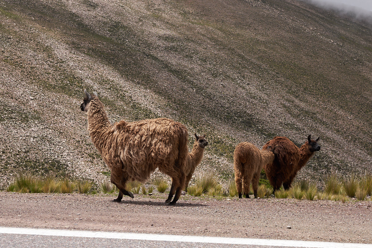
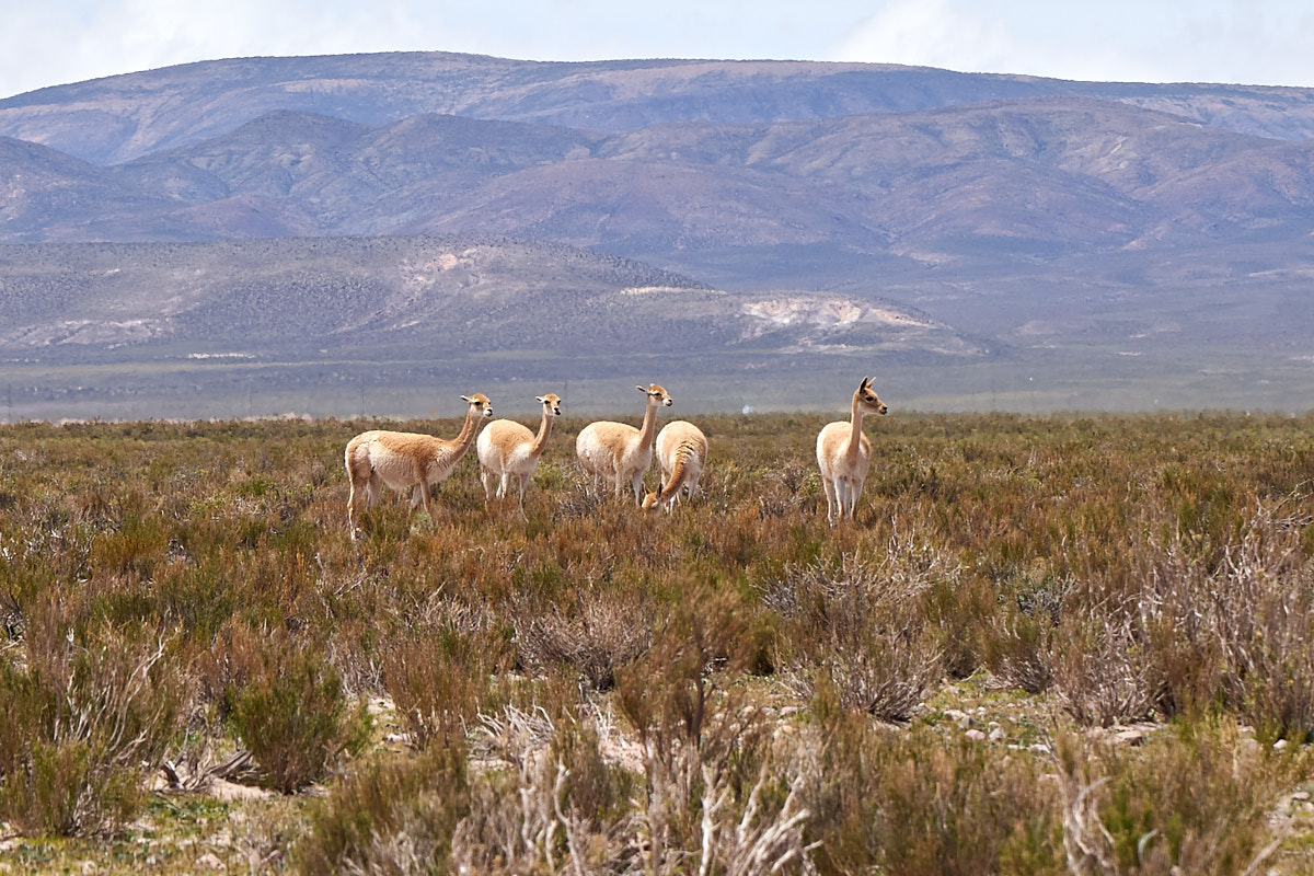
Close to
the top of the pass we came upon a group of llama grazing at the
side of the highway. Notice the thick coats on these
animals: it gets very cold high up in the Andes. Also note
the very sparse grass.
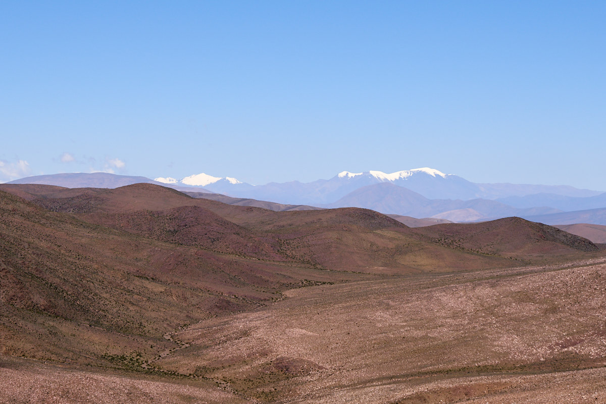
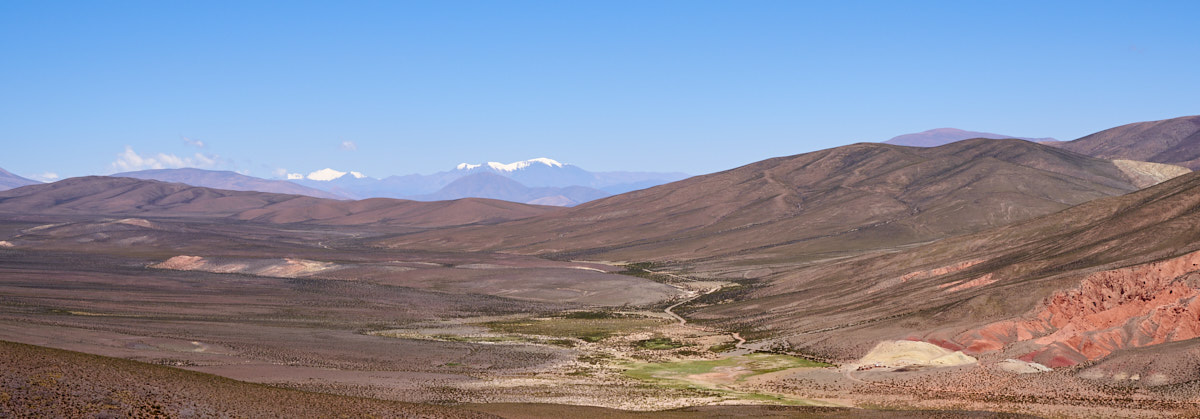
From the
top of El Morado pass we got a great view of distant
snow-covered peaks.
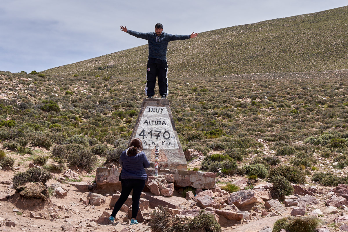
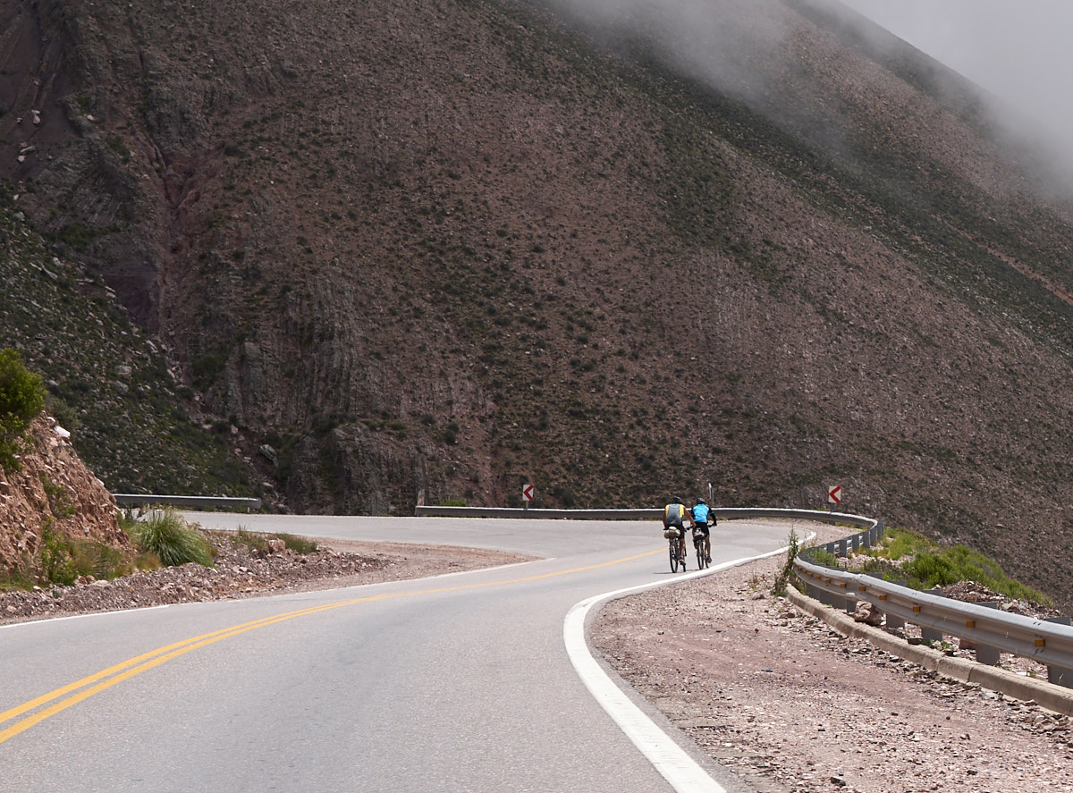
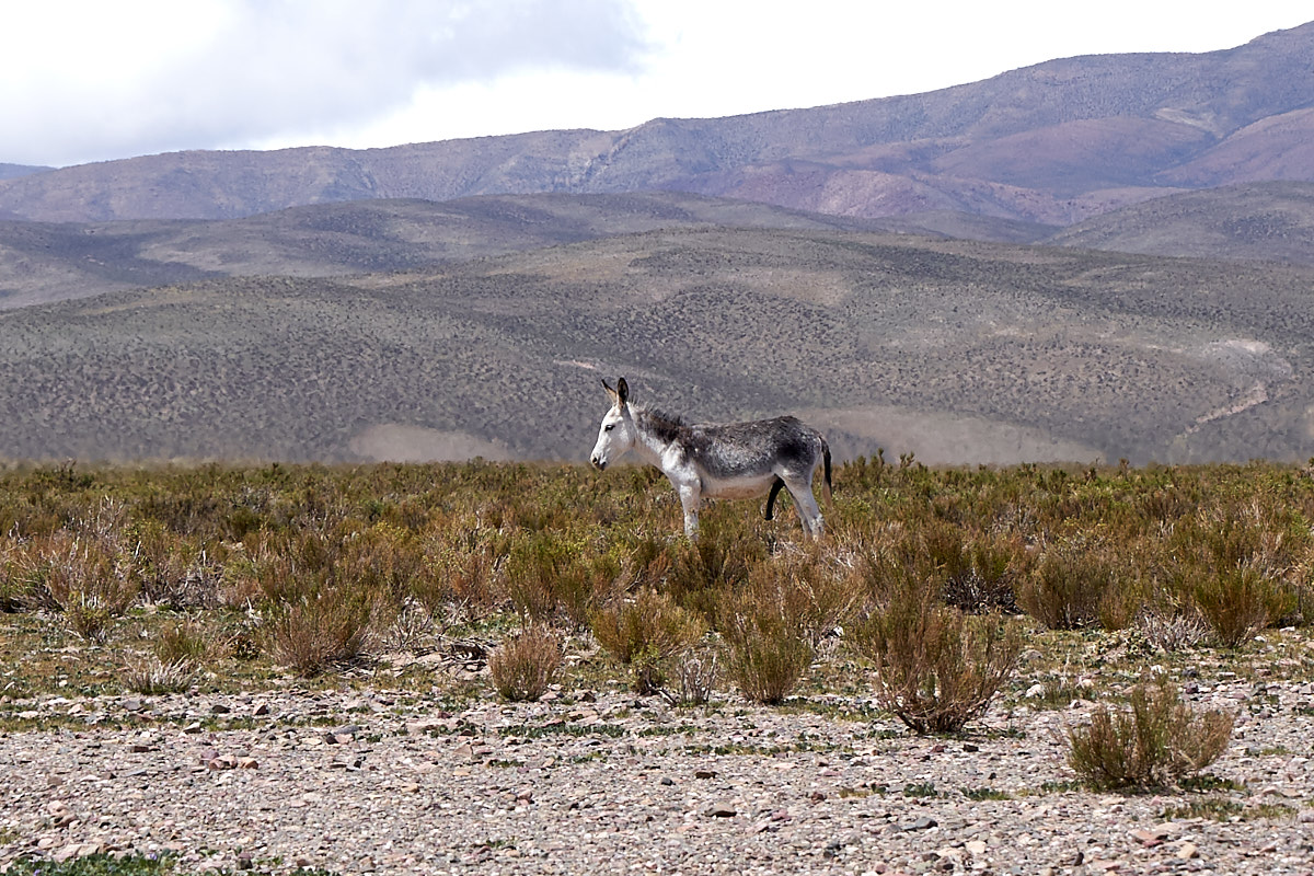
El
Morado pass peaks out at 4170 meters above sea level. This
is over 13,000 feet at 13,681 feet. The road was
steep and narrow and I am sure that it is a nightmare during the
winters. The area around the pass is well above tree line
so only scrub brush was to be found by the grazing llamas.
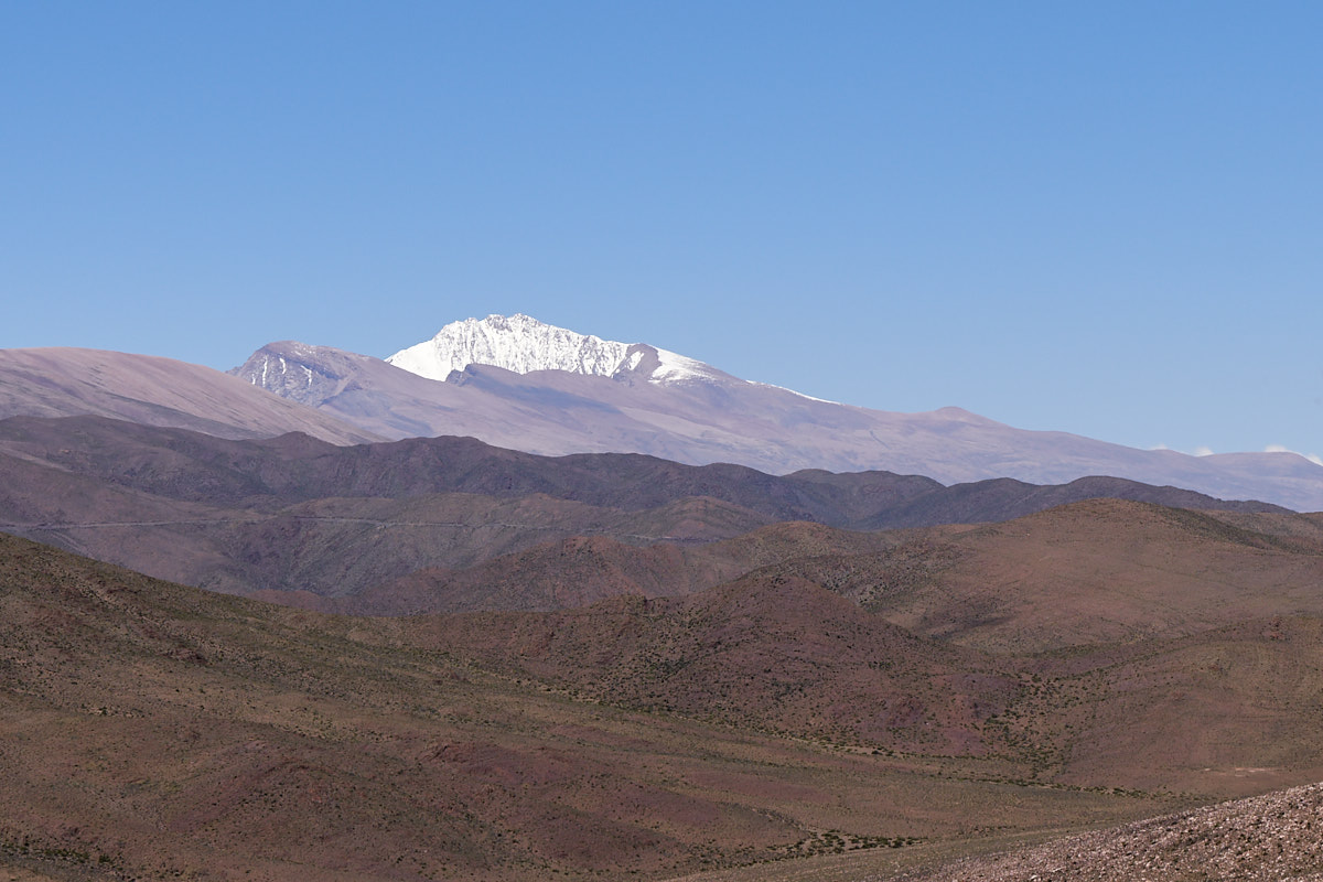
Another
high peak visible from the pass.
| Previous Adventure | ||
| Trip Home Page |
Photos and Text Copyright Bill Caid 2018, all rights
reserved.
For your enjoyment only, not for commercial use.