We
spent the night at a hotel close to the town square in
Cafayete. The story was the usual: motos (motorcycles,
without mufflers) day and night. And, by the luck of the
draw, the narrow road outside the hotel was also the main road
when going north. Those things said, we did have a nice
bottle of wine at a cafe next to the plaza and then a great
dinner at another place on the plaza. The room had light
blocking shutters, so we grossly overslept. But, once we
got rolling, things were great. We headed out toward Salta
via the Quebrada de las Conchas (loosely translated, "Shell
Canyon").
The photos below are what we saw.
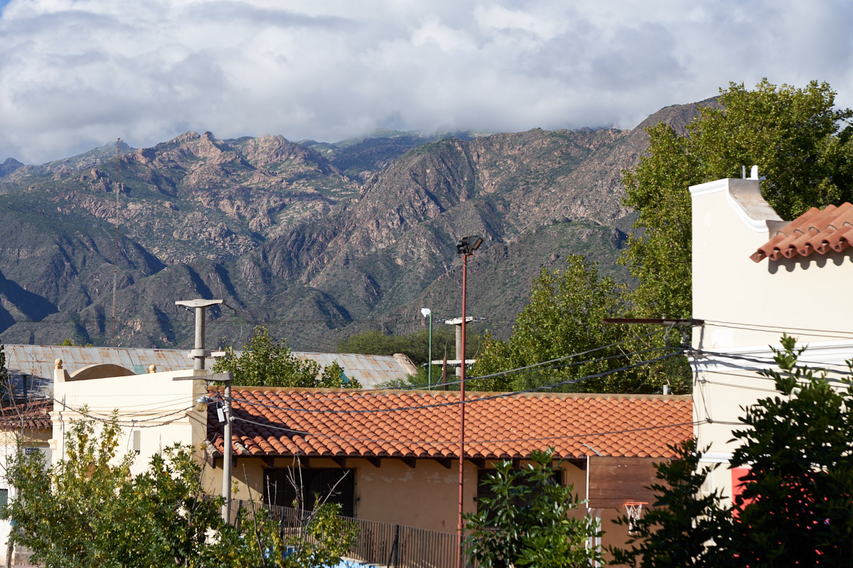
It
rained overnight and cleared the air. In the morning
sunlight, the nearby mountains looked great from the balcony
outside our room.
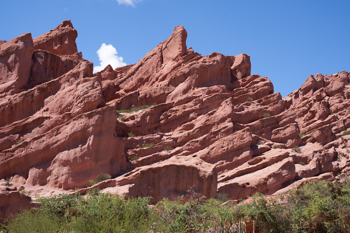
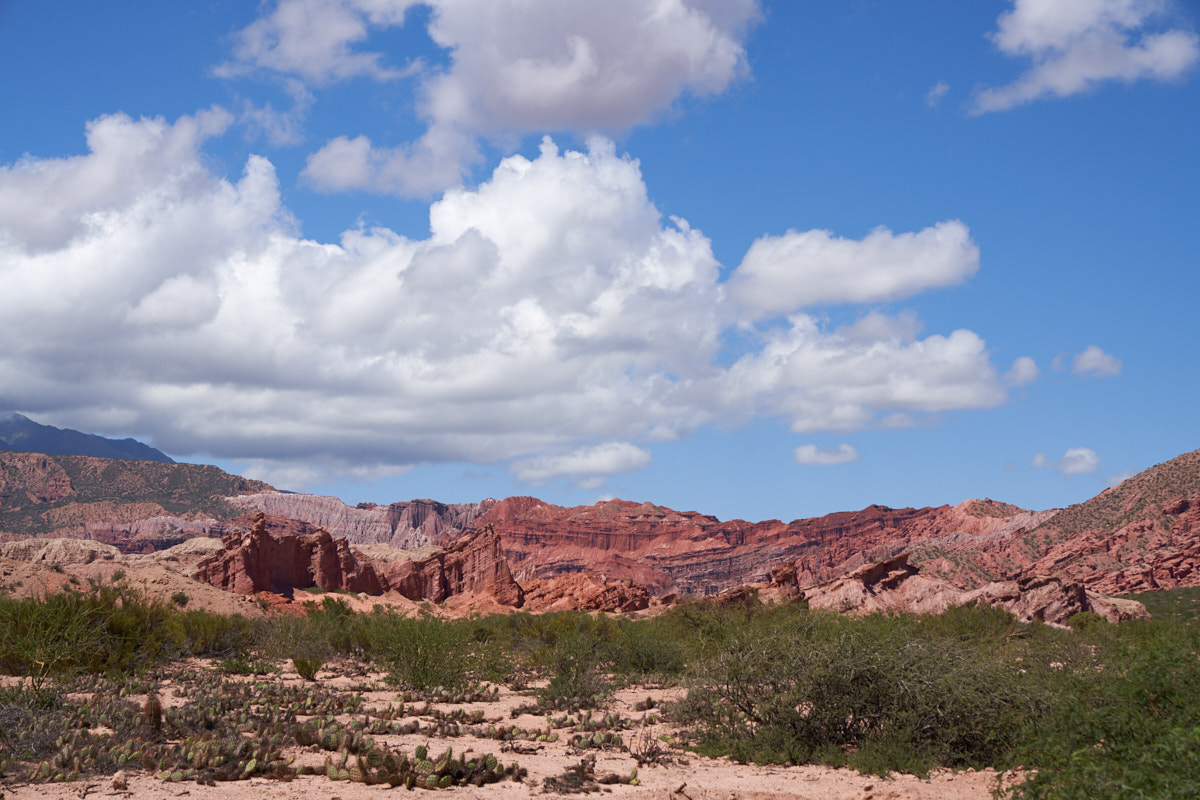
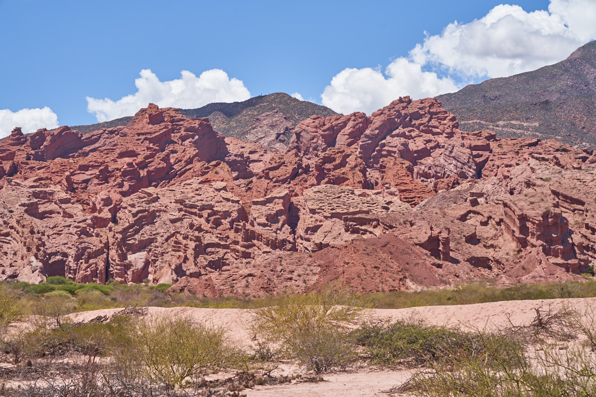
We
headed north toward Salta and entered the Quebrada de las
Conchas. The Quebrada (loosely translated as "breaks"
meaning a break in the mountains) had many brightly colored
layers of sandstone that we nicely illuminated by the sun.
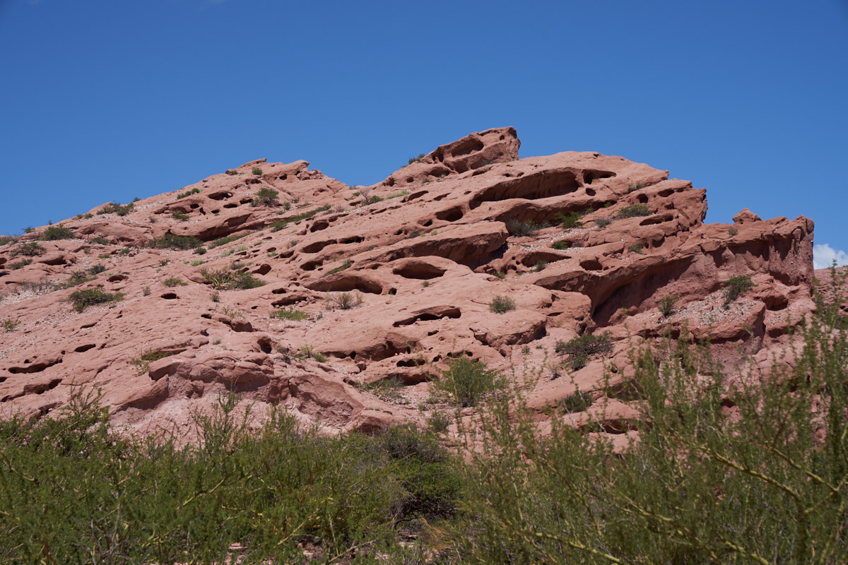
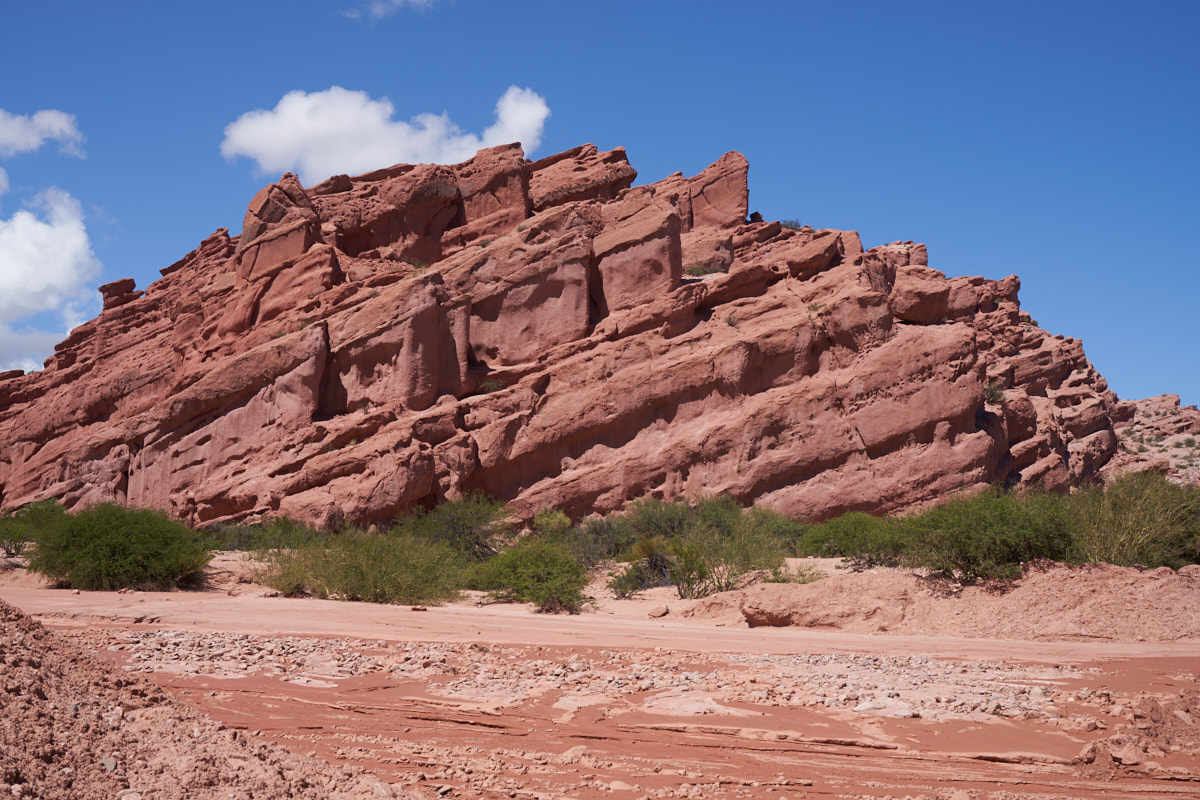
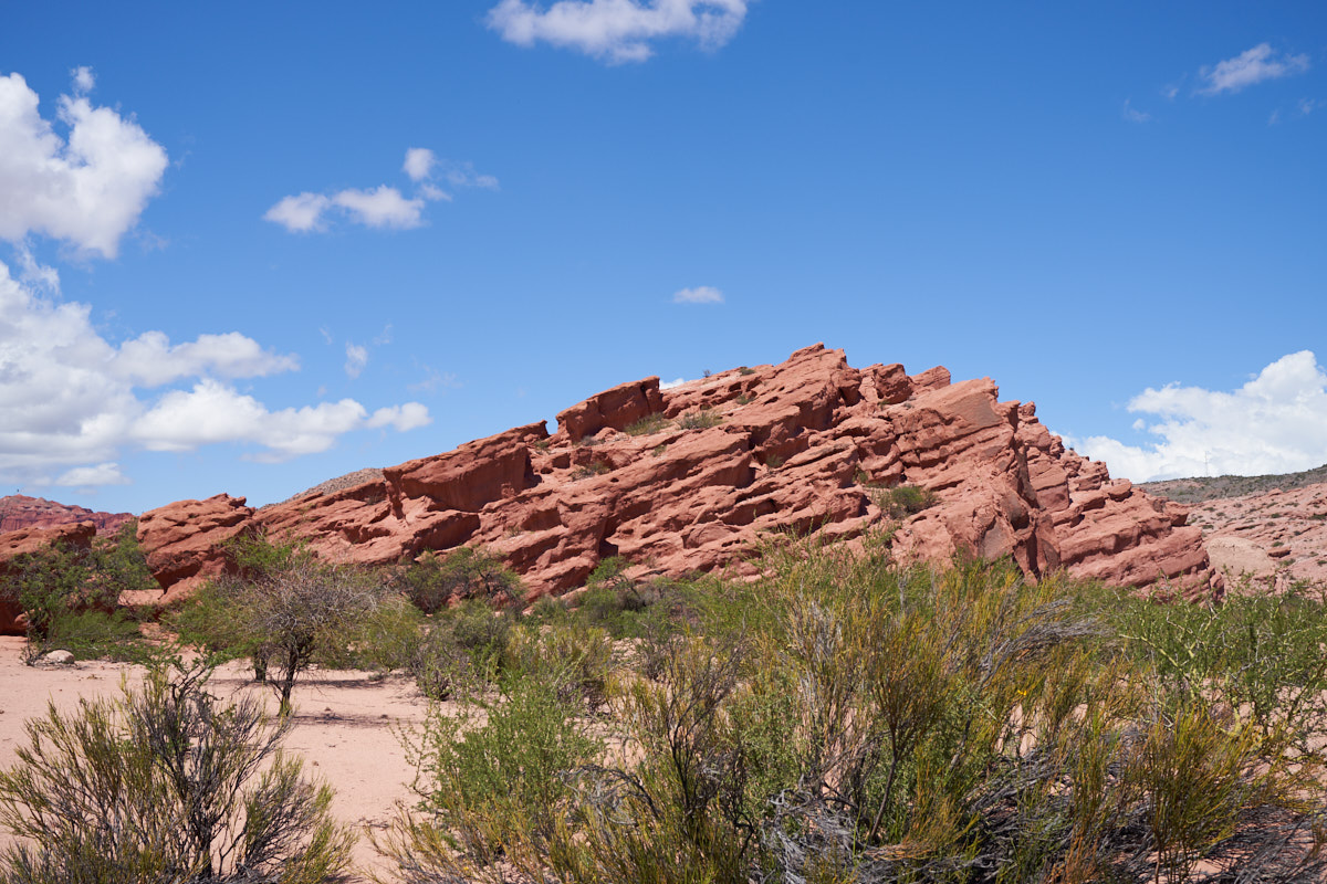
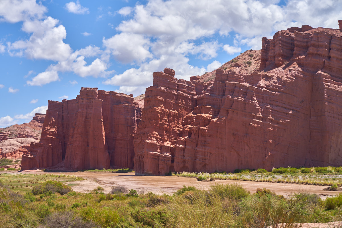
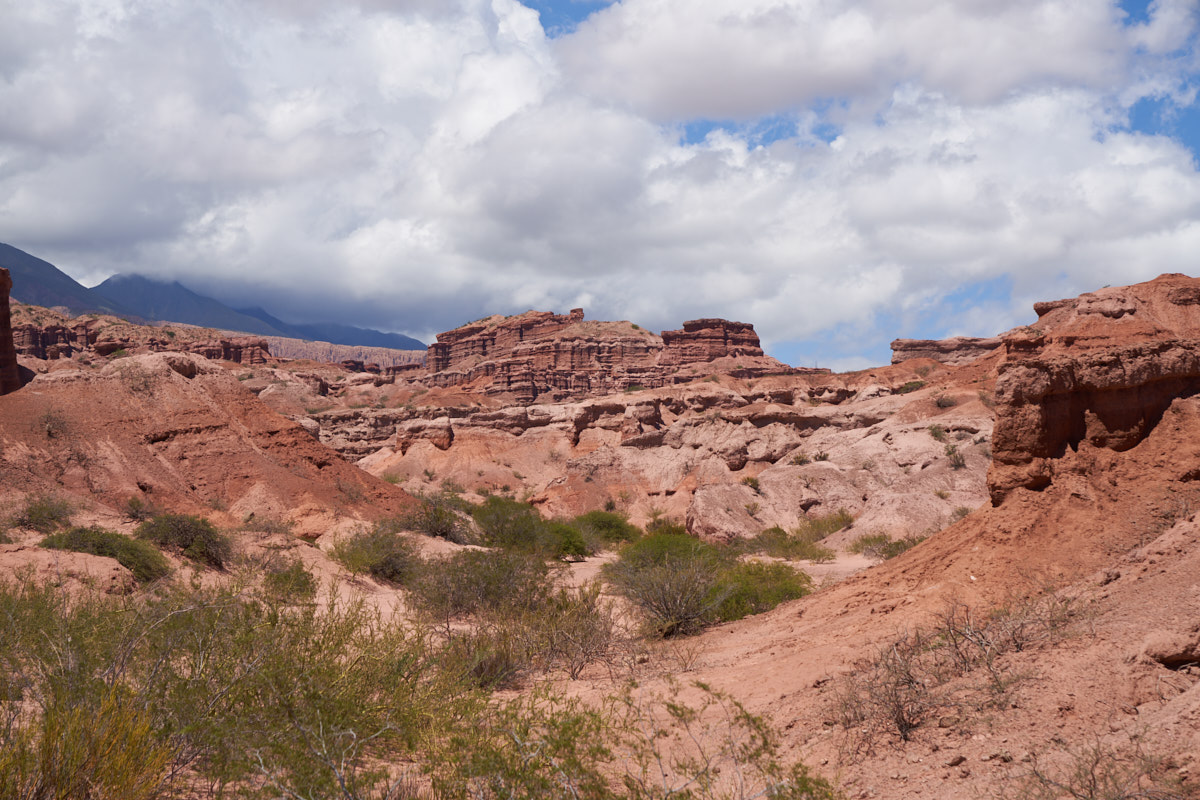
The
lower portion of the sandstone cliffs had wind caves.
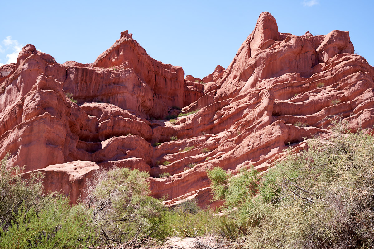
Each of
the sandstone layers eroded at different rates producing
interesting steps.
The rain
the previous night (including thunderstorms in the mountains)
produced sufficient runoff to get side washes wet.
It was
about 1100 hrs and the thunderclouds were building again for the
afternoon's rain.
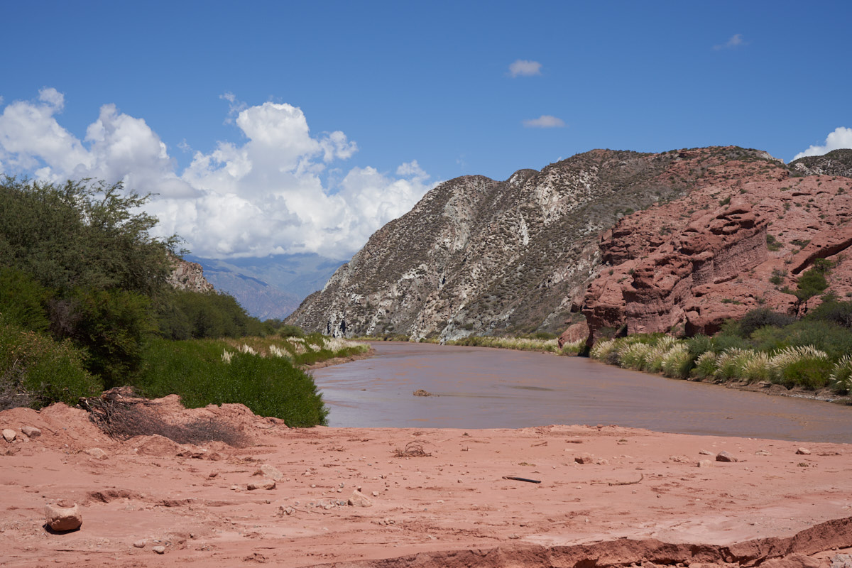
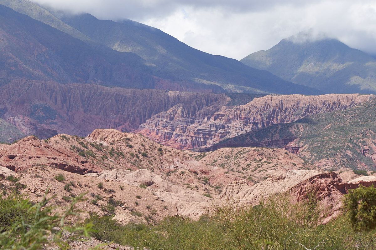
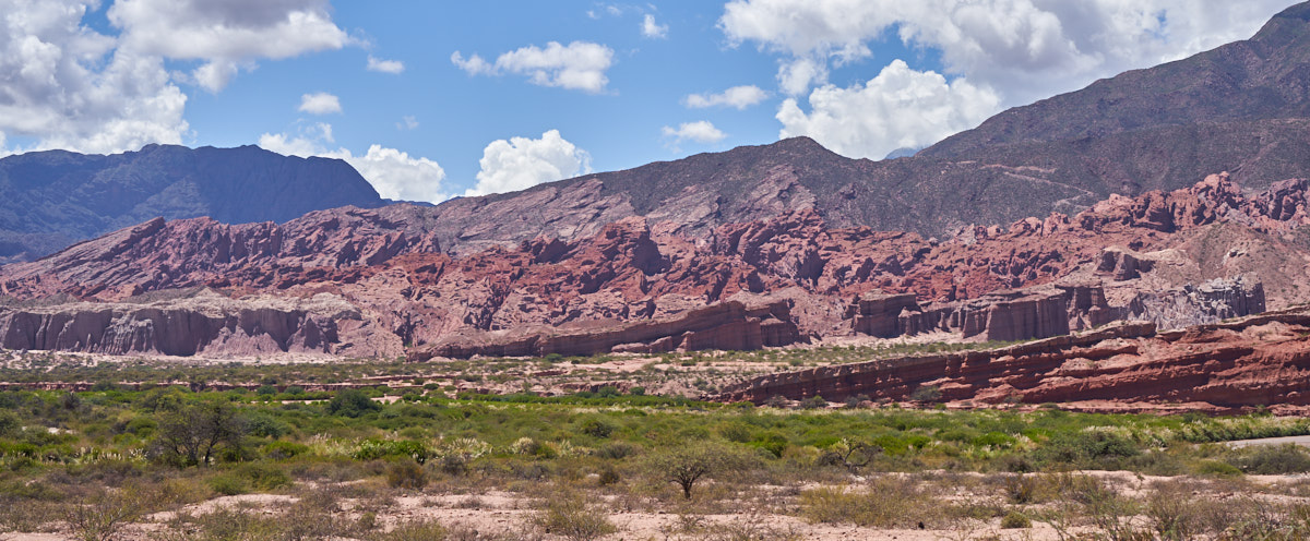
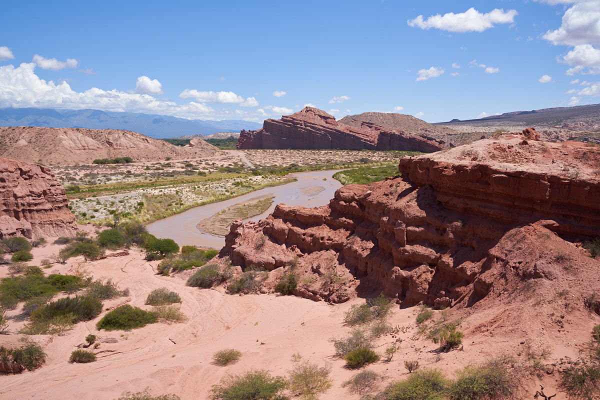
The
Quebrada de las Conchas was created the classical way: the river,
in this case the Rio de las Conchas, held its course while the
mountains uplifted over a period of millions of years. The
Rio de las Conchas is not that large, but when laden with
abrasive silt and sand, cuts like a saw and exposes the
underlying strata.
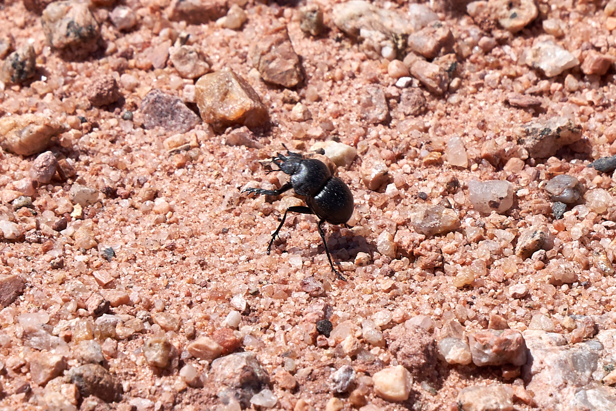
While I
was taking the above photos, a beetle came running past
me. That, in and of itself, is not remarkable. But
what WAS remarkable was that it was running on its hind legs.
As we
got a bit deeper into the quebrada the strata became more
tilted.
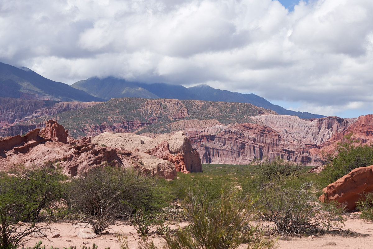
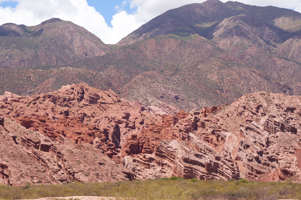
Looking
toward the nearby mountains we could see exposed cliffs of
siltstone. Siltstone produces spectacular "mud curtains"
when exposed to hard rains.
In the
distance, we spotted power lines running over the mountains.
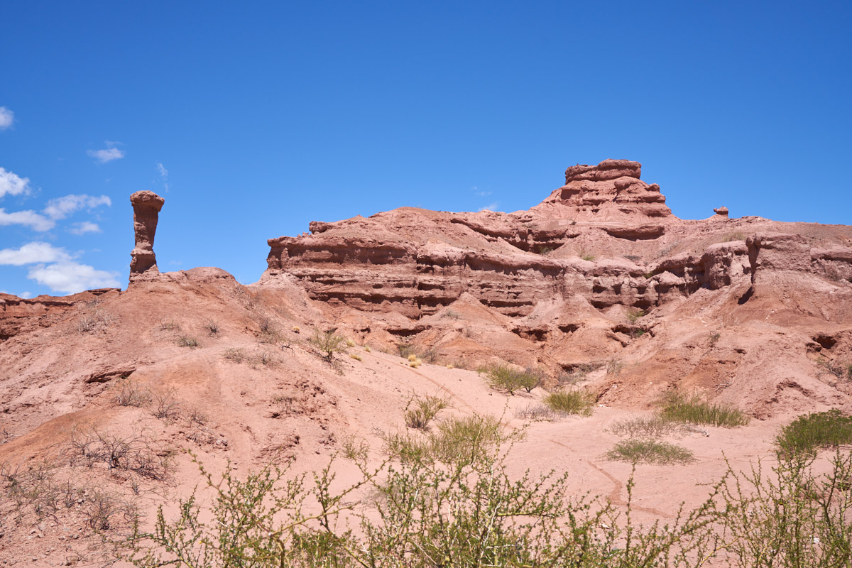
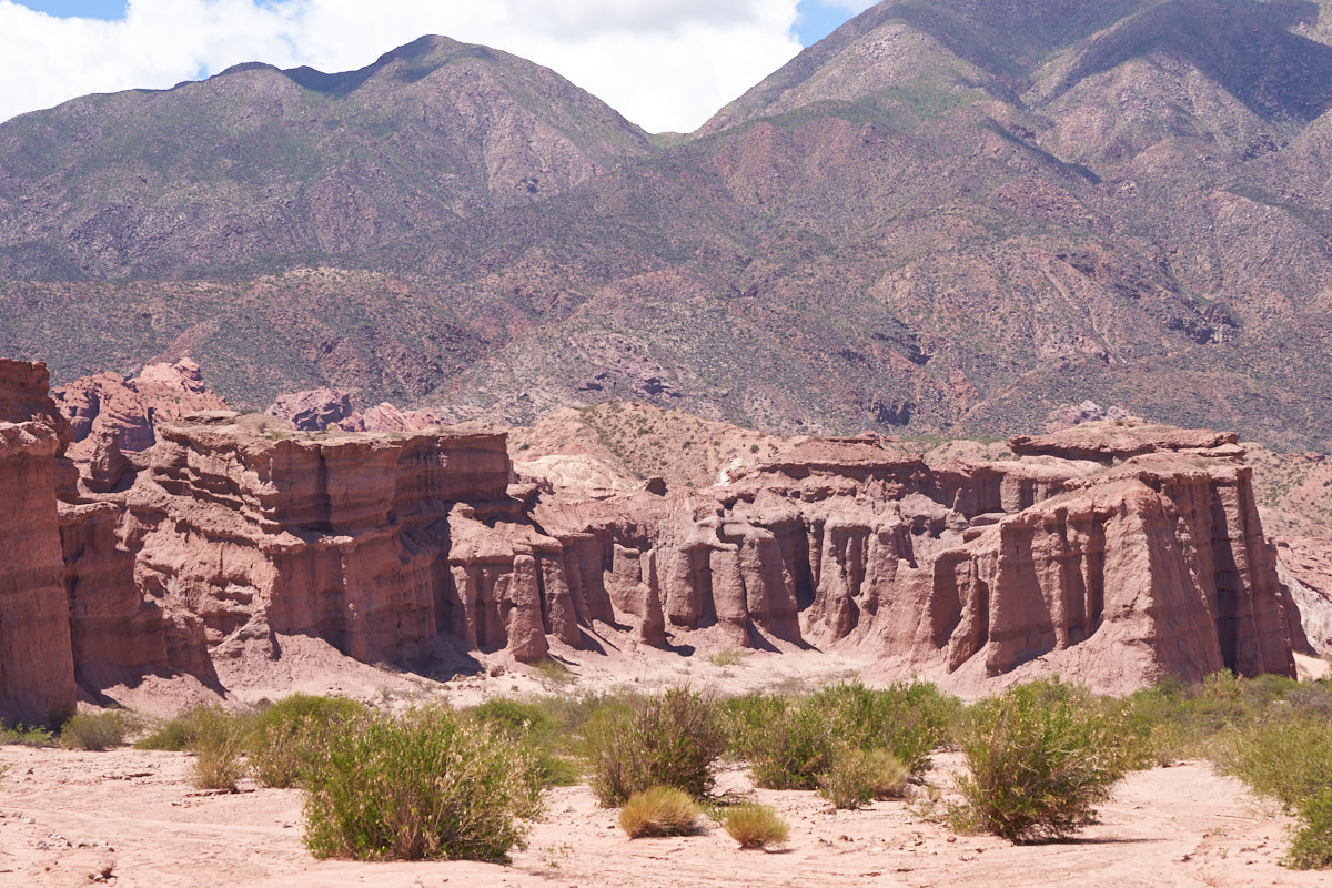
The weathering had produced nice hoodoos in the sandstone
cliffs. The awesome views were causing us to pull over
about every 100 yards.
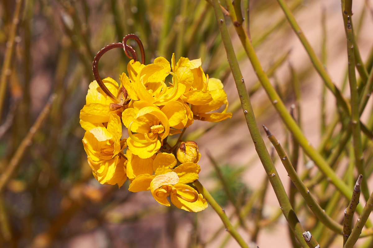
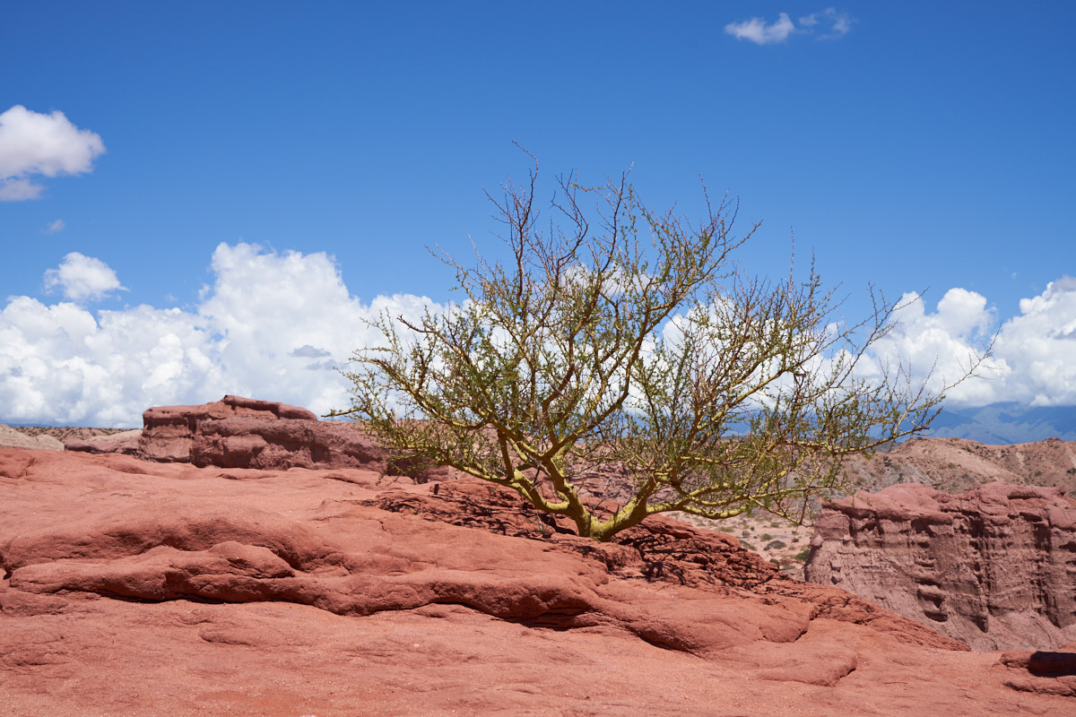
Some of
the local flora was in bloom.
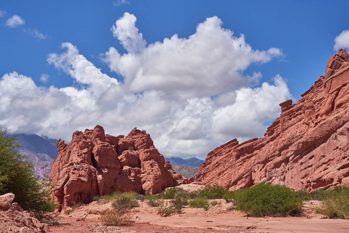
Further
up the canyon we spotted the convoluted folding that the
Quebrada is known for.
Mud
curtains were visible on the far cliffs.
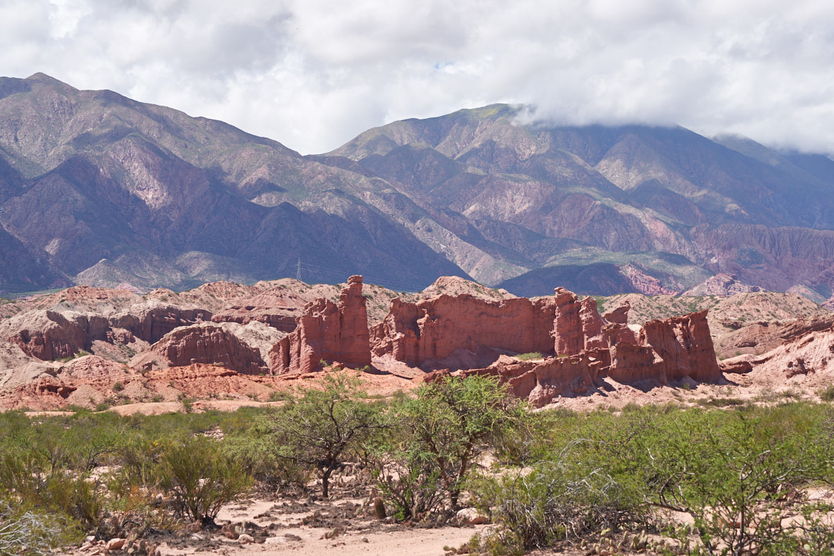
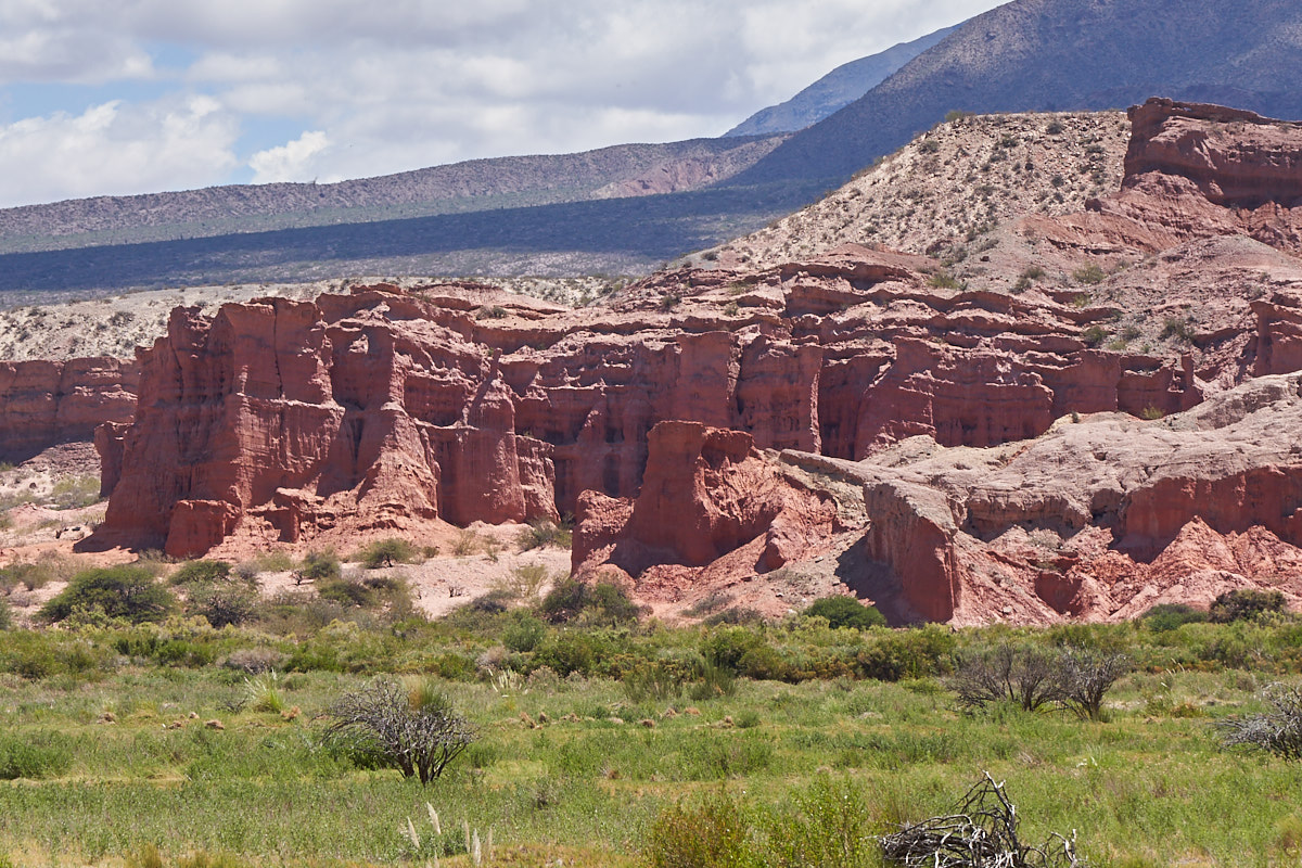
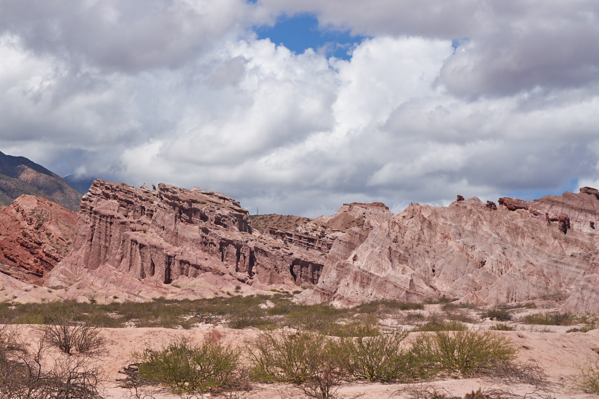
There were
some large hoodoos close to the road with mud cliffs visible in
the distance. The clouds threatened rain, but the rain
never came (on us).
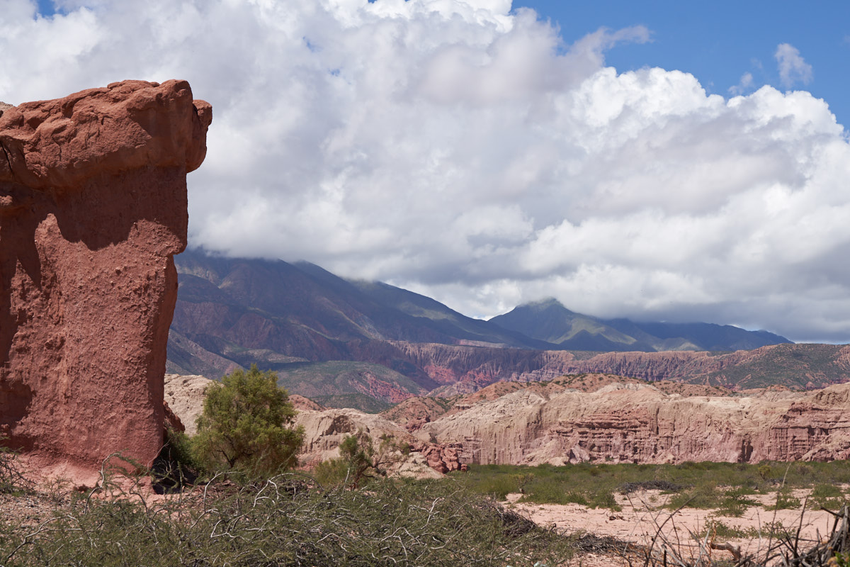
The
looser conglomerates near the mouth of the Quebrada eroded into
interesting hoodoos.
The Rio
de las Conchas took a big bite out of the soft strata producing
steep cliffs.
In the
distance the sandstone has eroded into fantastical shapes.
The road at the upper right of the photo above is likely to
service the power lines.
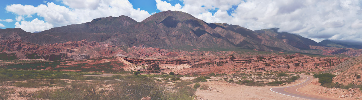
This is
a multi-shot panorama that I stitched together with PTGui
Pro. This is the lower portion of the Quebrada.
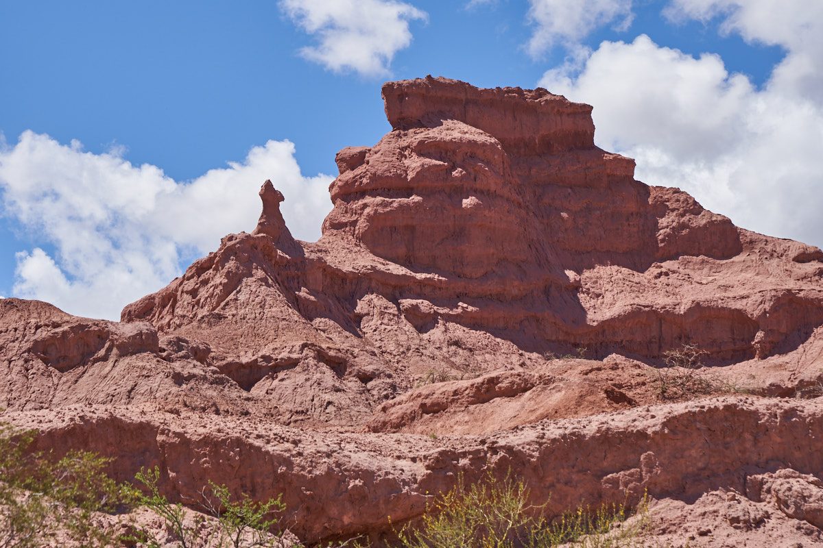
A few kilometers
up the canyon we encountered interesting hoodoos.
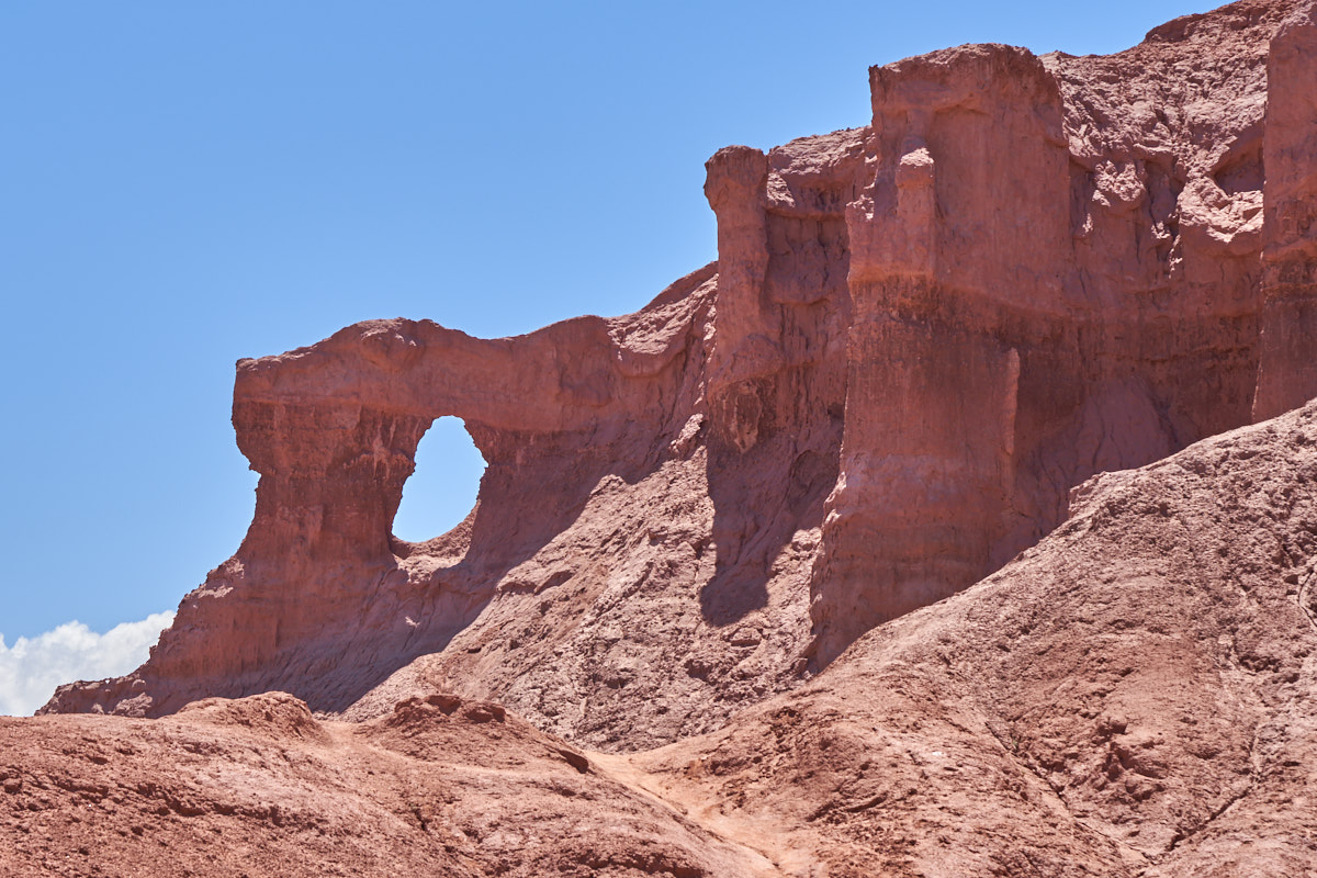
We came to a "ventana" (window) in the mud hills.
| Previous Adventure | ||
| Trip Home Page |
Photos and Text Copyright Bill Caid 2018 all rights
reserved.
For your enjoyment only, not for commercial use.