The
photos below are what we saw.
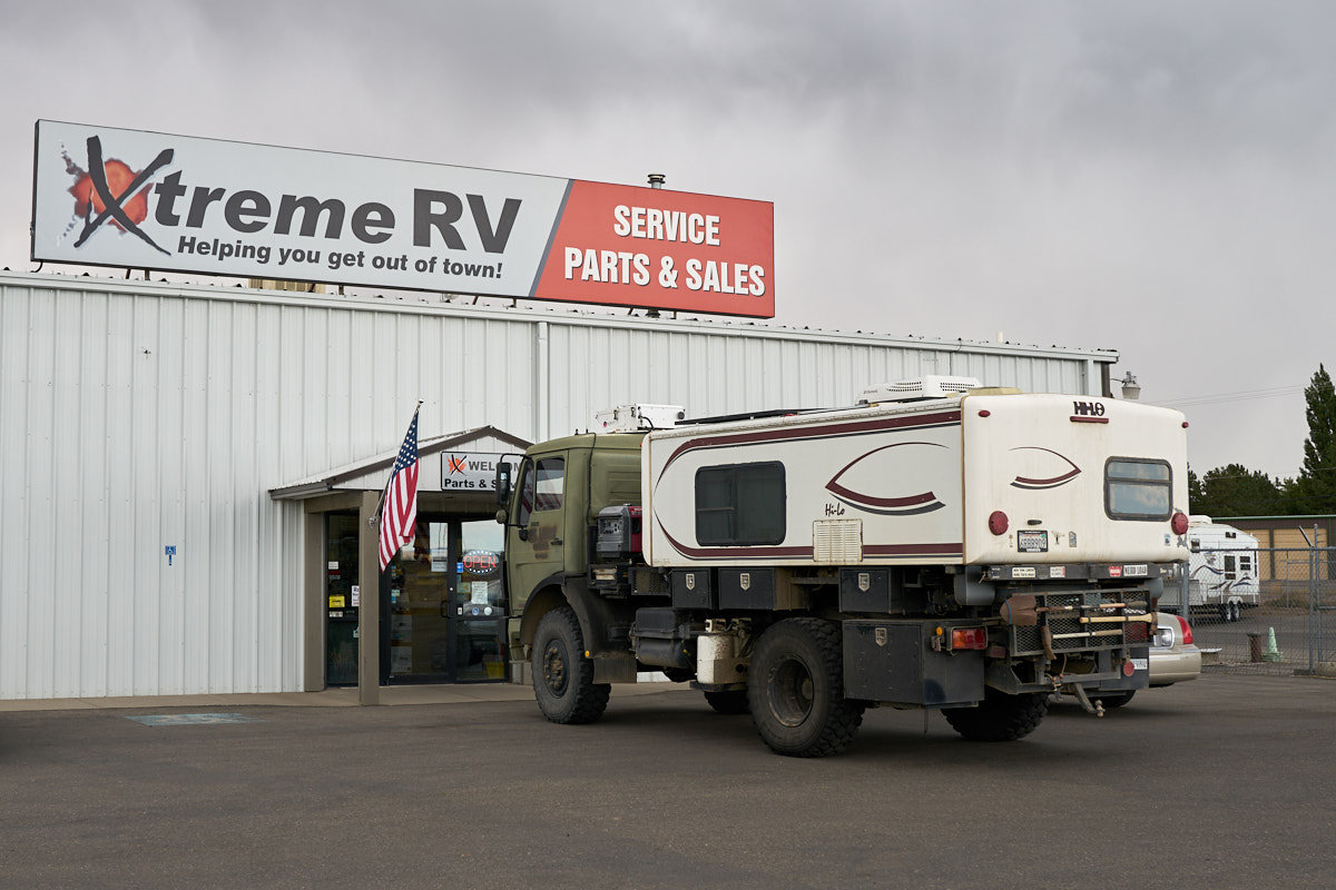
The
following morning, we pulled into the parts store next
door to get some gadgets. The facility name was "Xtreme
RV" so it seemed appropriate to take a photo of my extreme RV
next to their sign. When we finished at the store, we
headed to see the falls.
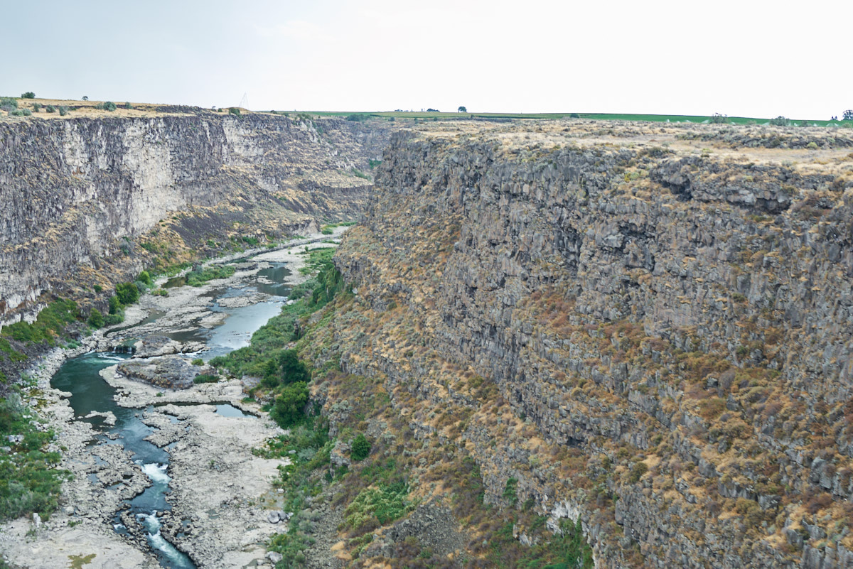
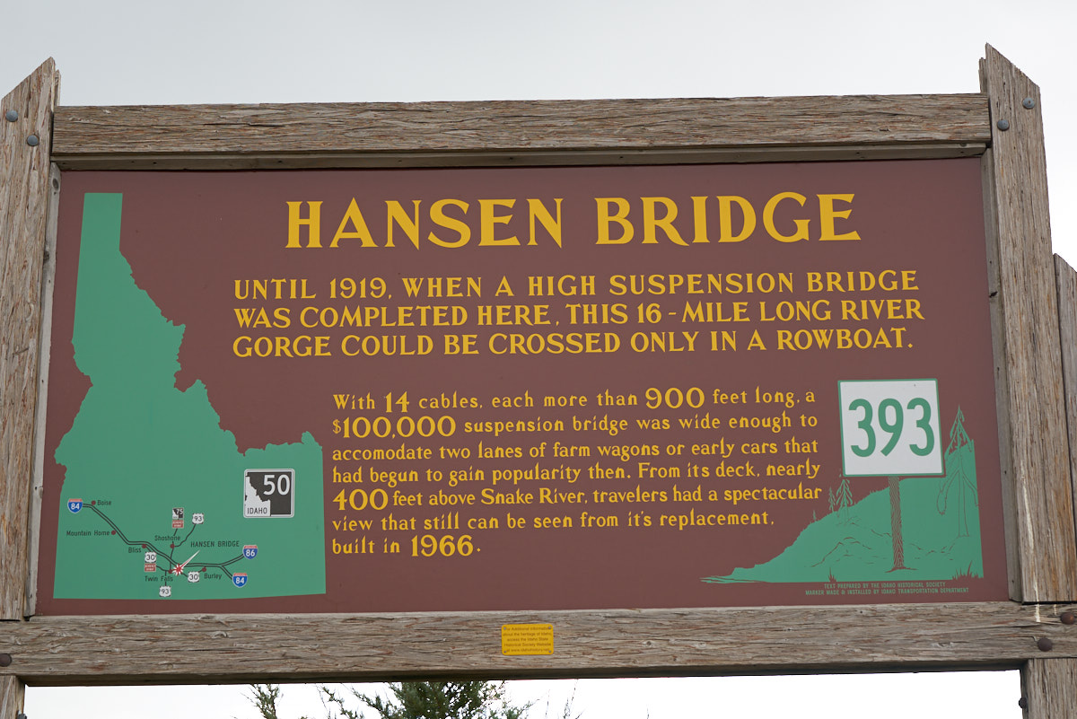
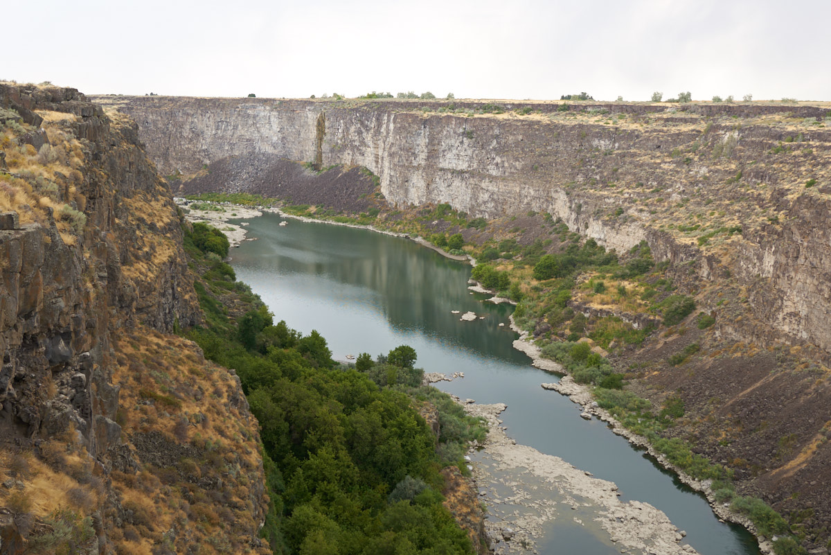
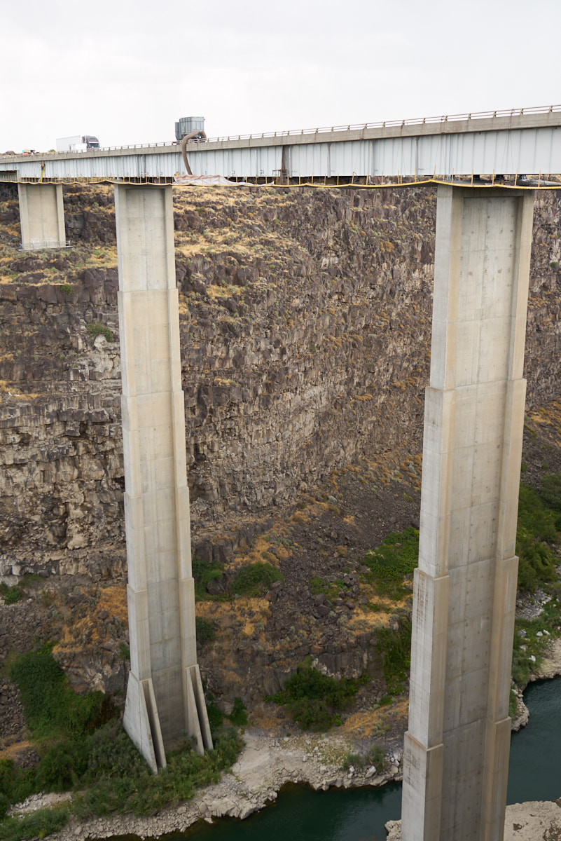
The
Snake River Canyon presented a major obstacle to travel in the
area. We had to traverse the canyon to get from the RV
park to Twin Falls. Crossing the bridge allowed a
view of the canyon. The bridge is one of the few places
where you can cross the river.
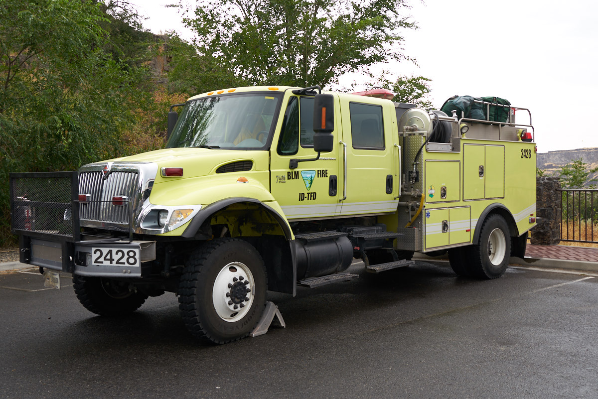
We
followed the river west to the actual falls on the Snake River
where we encountered this BLM wildland fire rig parked at the
falls.
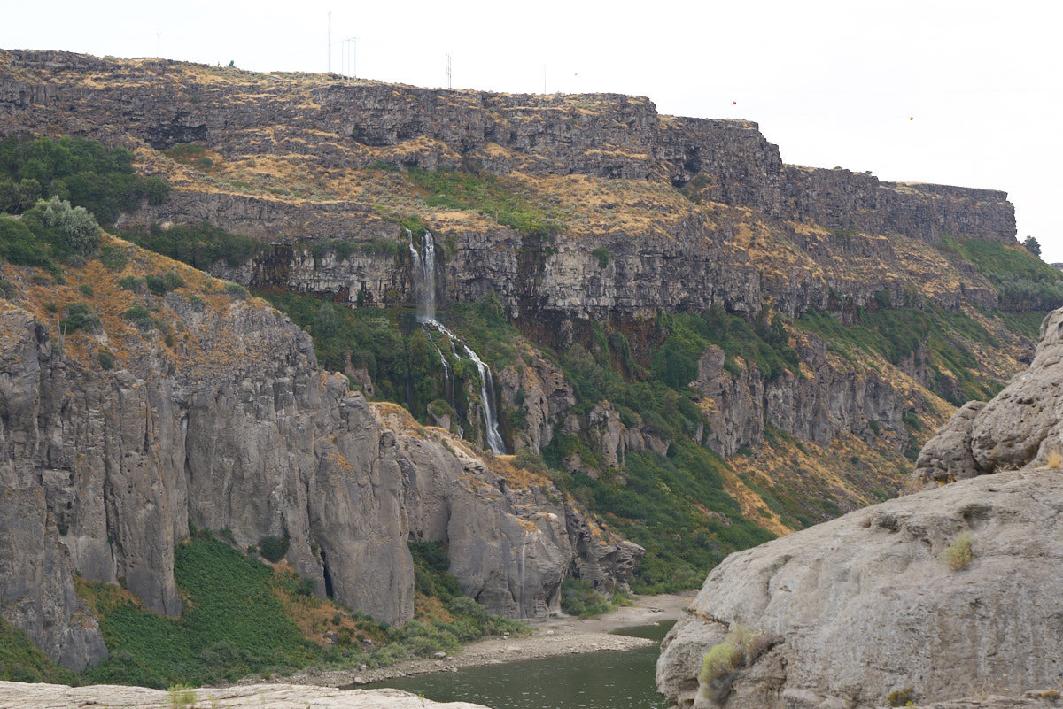
At the
falls there was a road that allowed descent into the Snake River
Canyon. During the descent we could see springs that
emerged from the local aquifer into the river's gorge creating
nice waterfalls.
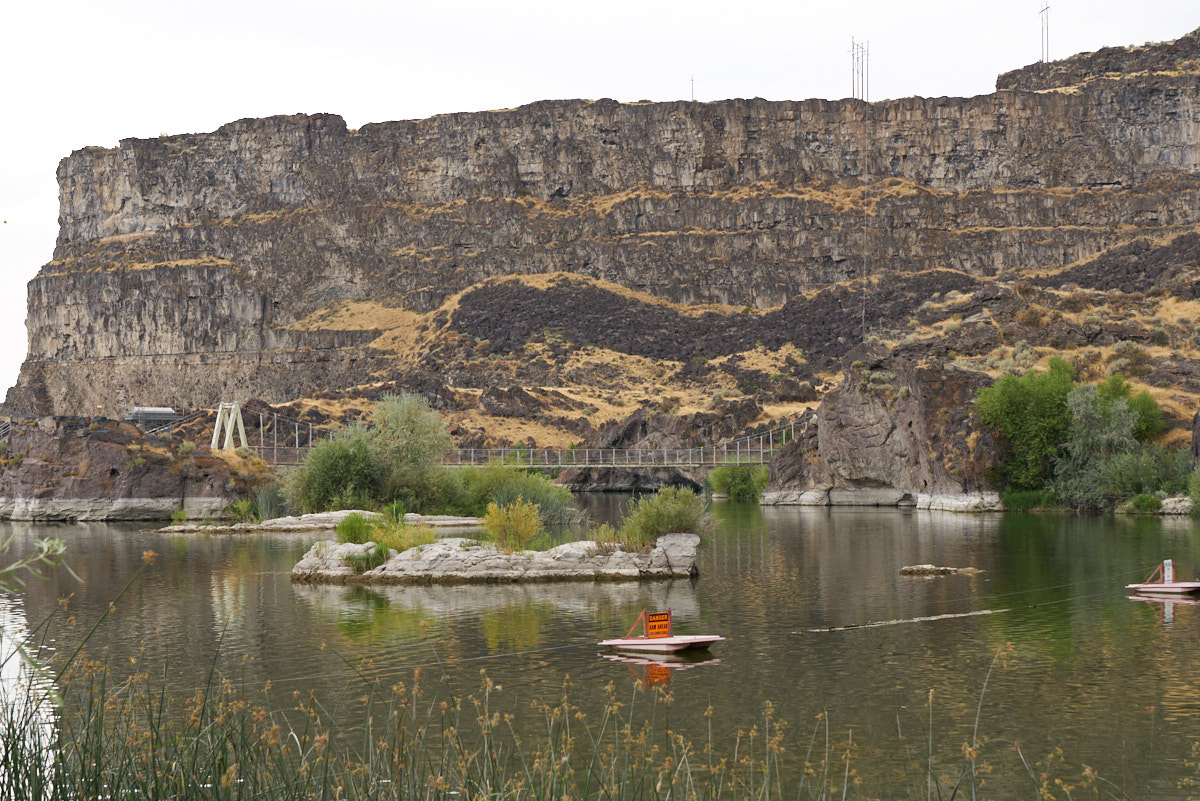
Like
many falls on the Snake River, there is a dam and power plant to
serve the locals. Above is the lake upstream of the dam.
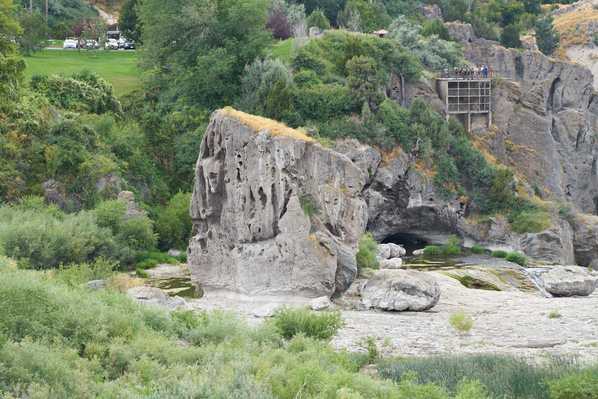
From the
bottom we could see the overlook point on the south side of the
river. Note the interesting erosion patterns on the rock
in the foreground.
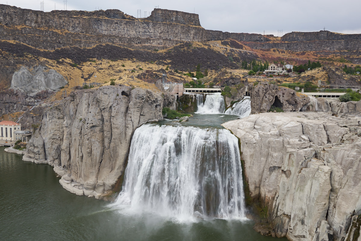
This is
the main falls. When we were on-site, we were told that
the lake is holding water back to insure supply during the fall
and winter. Note the large house in the background of the
photo above.
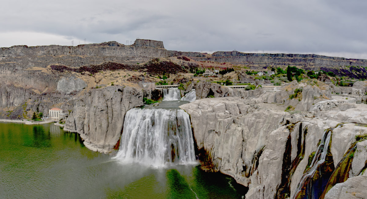
Above is
a multi-shot panorama of Twin Falls. During the spring the
falls on the right are huge.
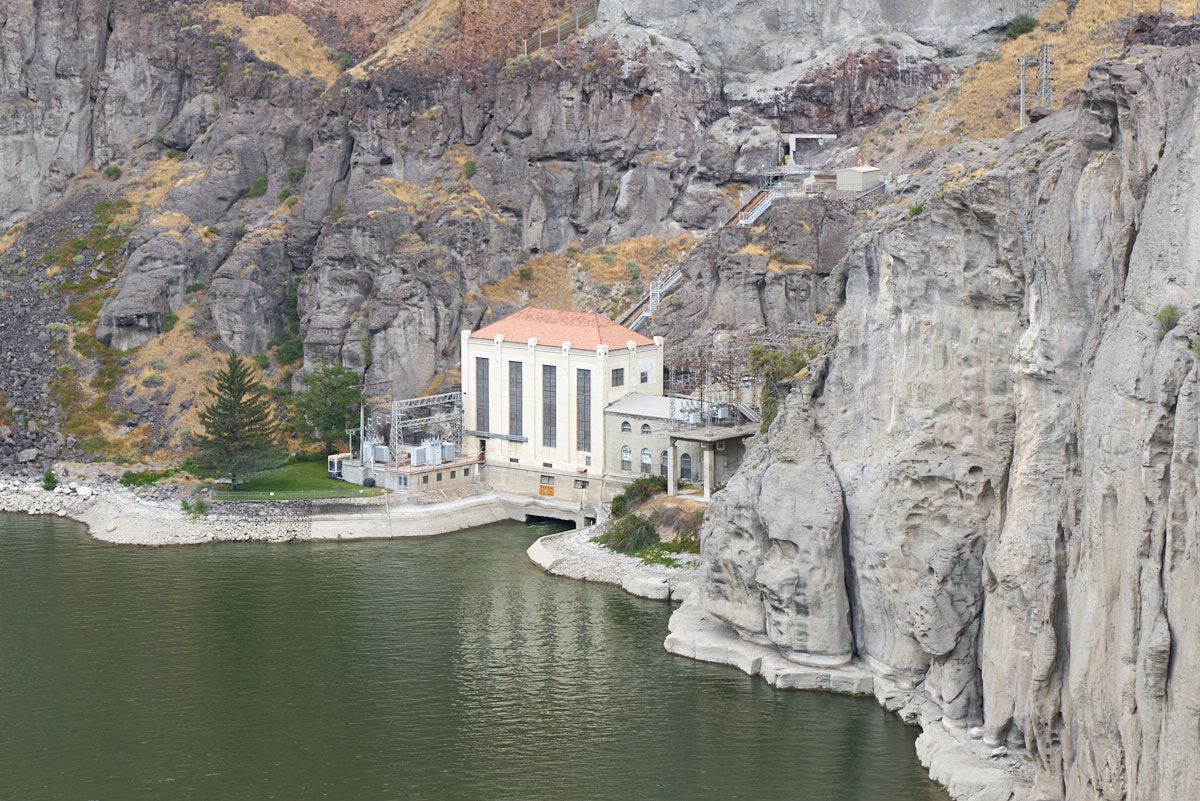
The
powerhouse for the dam.
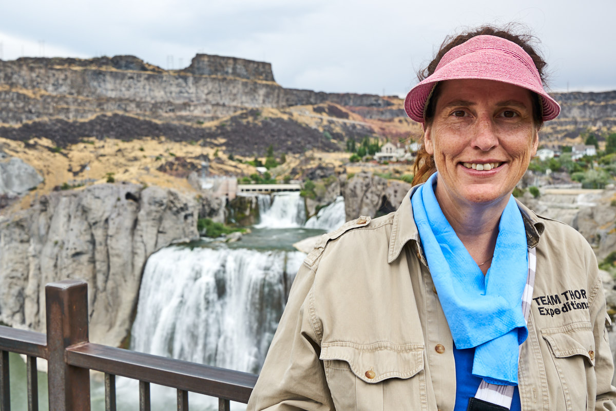
Kathleen
sporting a new thermal bandana with the falls in the background.
The
cap-rock in the area is volcanic basalt which produces vertical
cliff walls.
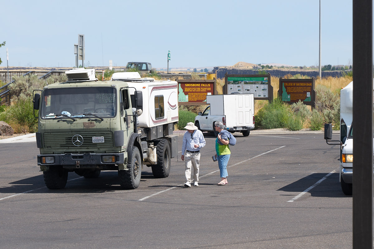
We
traveled into the city of Twin Falls and went to the overlook
for another bridge.
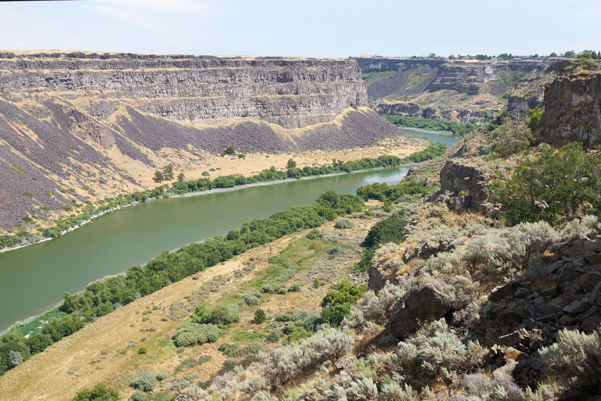
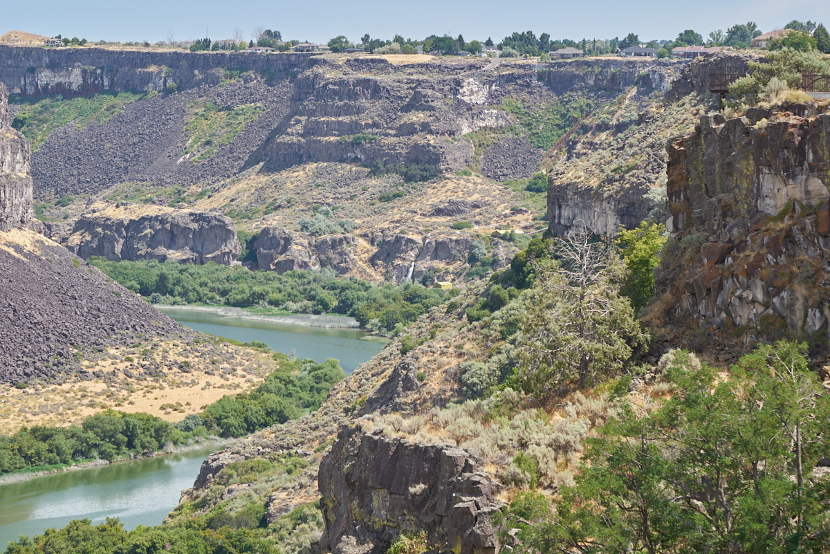
Looking
upstream provided a good idea of the scope of the depth and
width of the canyon.
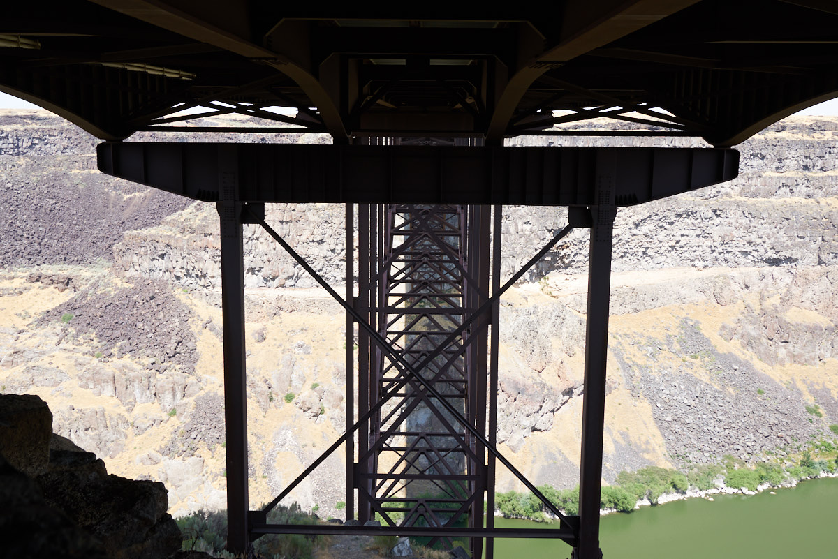
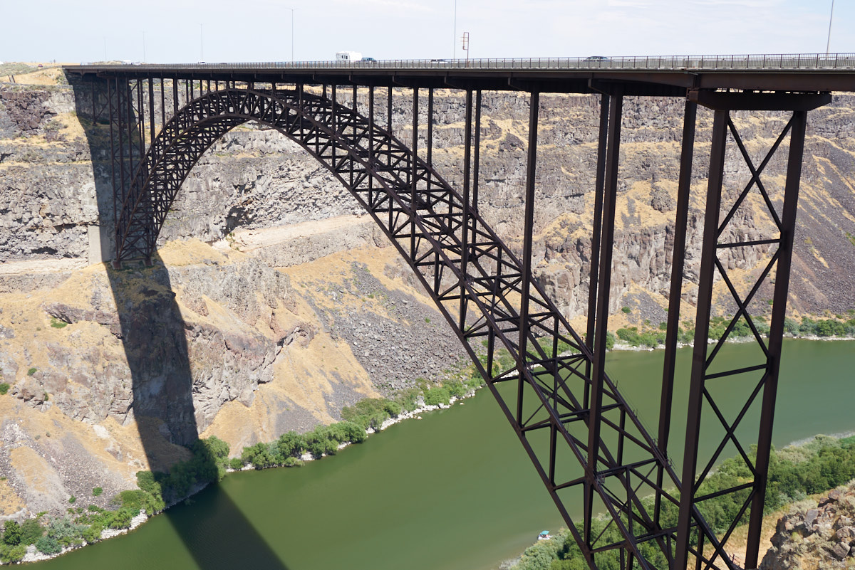
There
was a trail underneath the bridge that allowed a view of the
bridge supports.
Upstream
from the bridge there was another spring emerging from the cliff
walls. The falls are visible in the center of the photo
above.
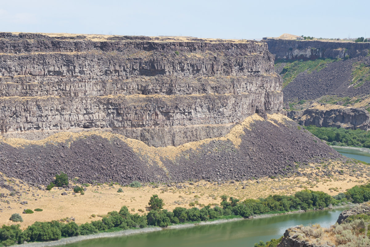
Volcanic
flows have covered the region many, many times in the geologic
past. The cliff walls show at least 6 episodes which are
manifested as layers in the walls.

This
portion of the cliff wall shows a tortured history. Left-center
of the photo above shows a riverine sandstone layer next to
twisted conglomerates covered by basalt.
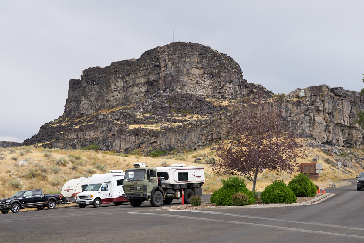
In the
parking lot, Thor gets the "once-over" from amazed tourists.
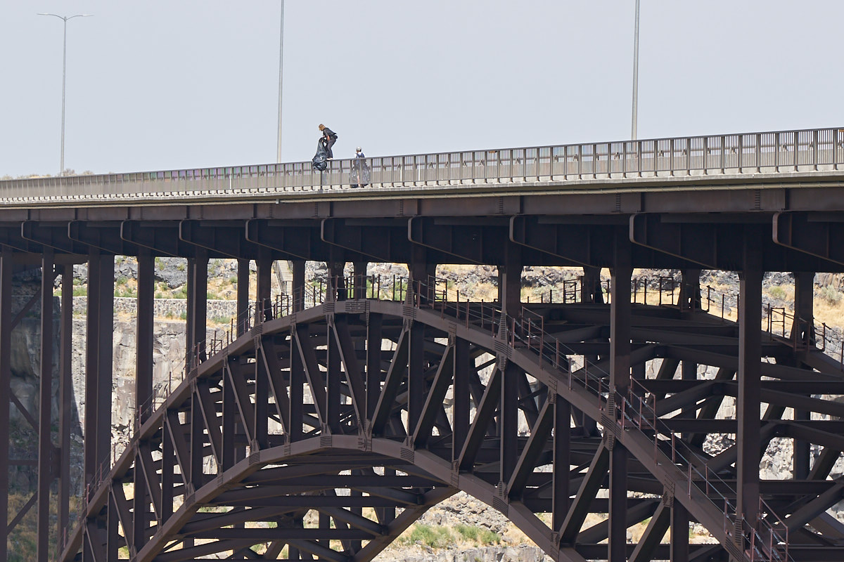
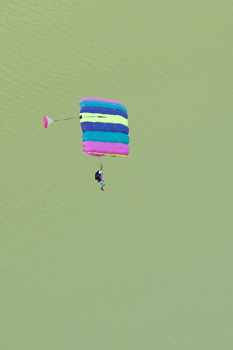
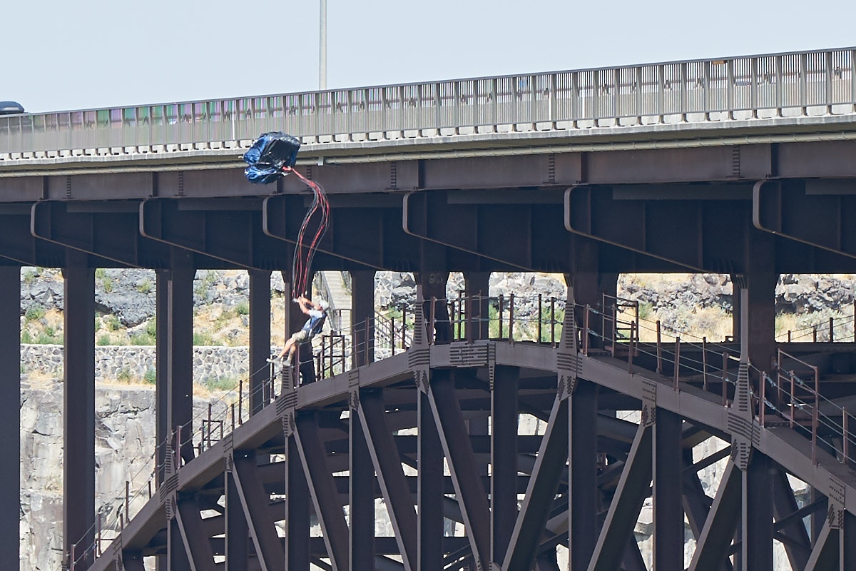
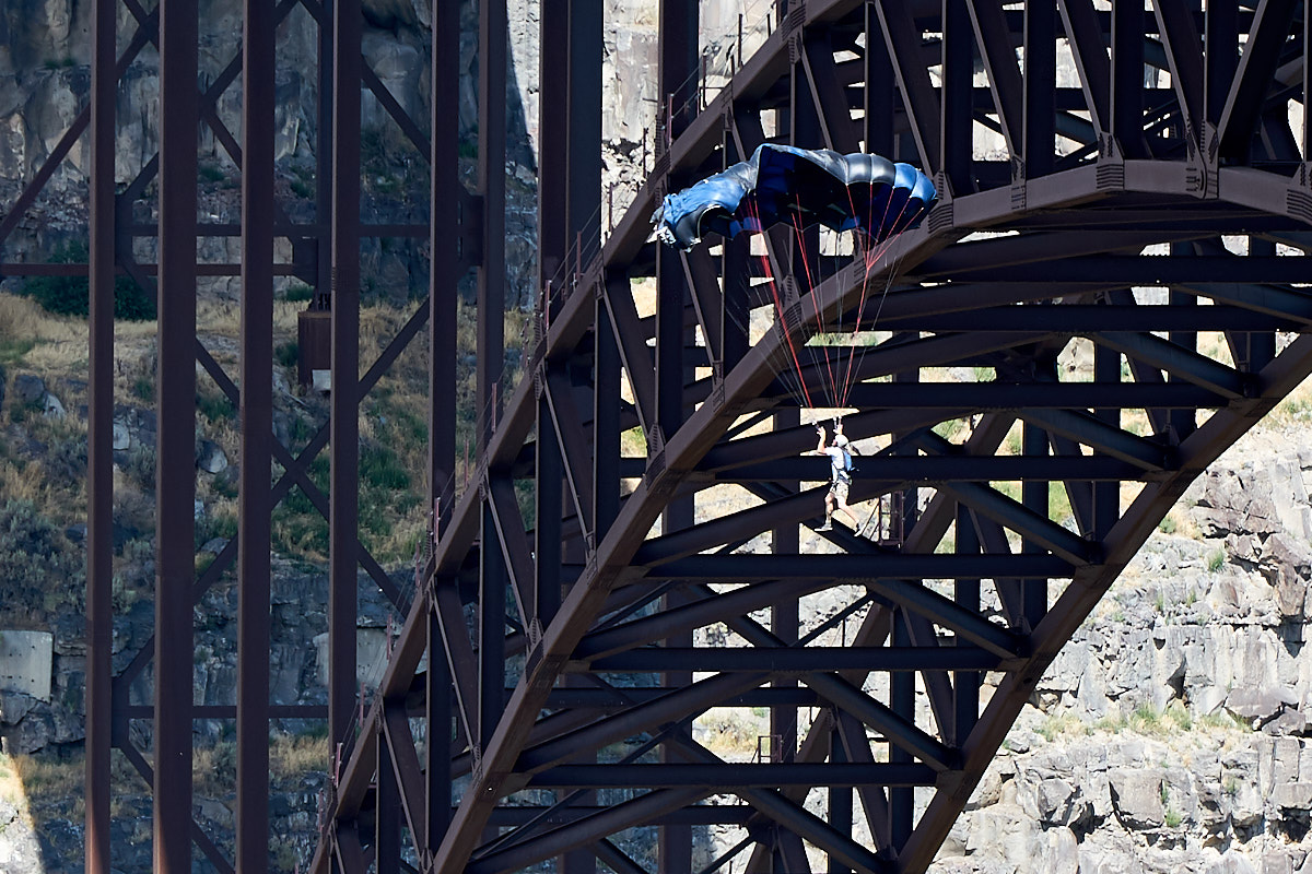
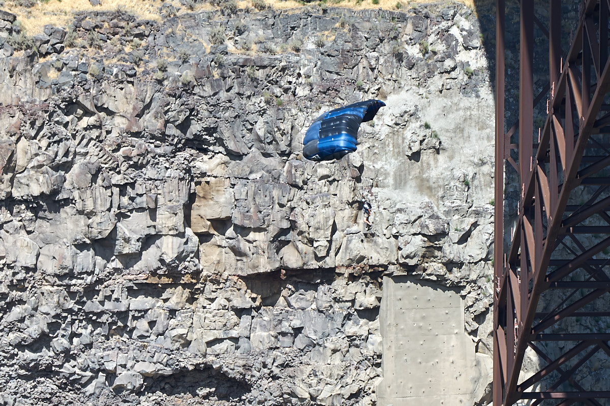
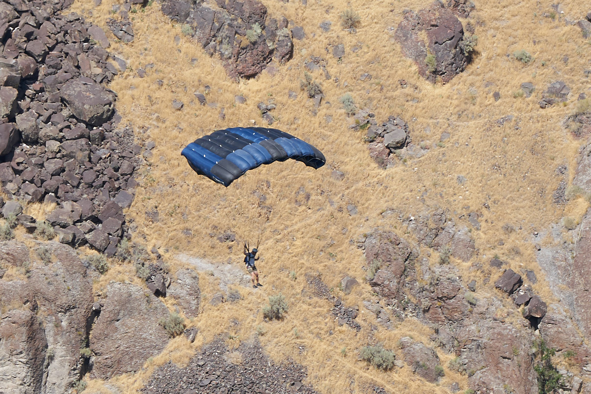
Look,
there is a jumper! We had heard that base jumping was
allowed off the bridge. Sure enough, there a set of guys
with parachutes getting ready to jump.
This
fellow doesn't even have a helmet.
His
buddy joined him from the opposite side of the bridge.
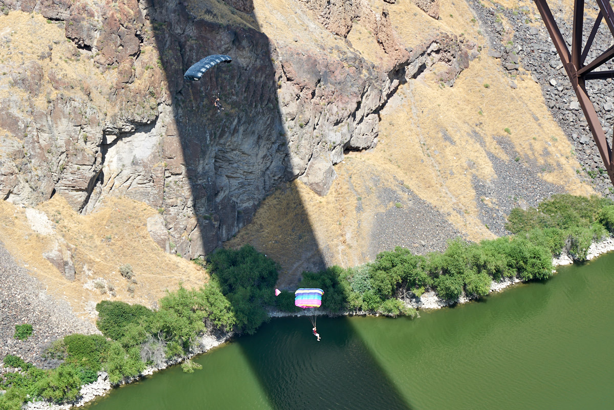
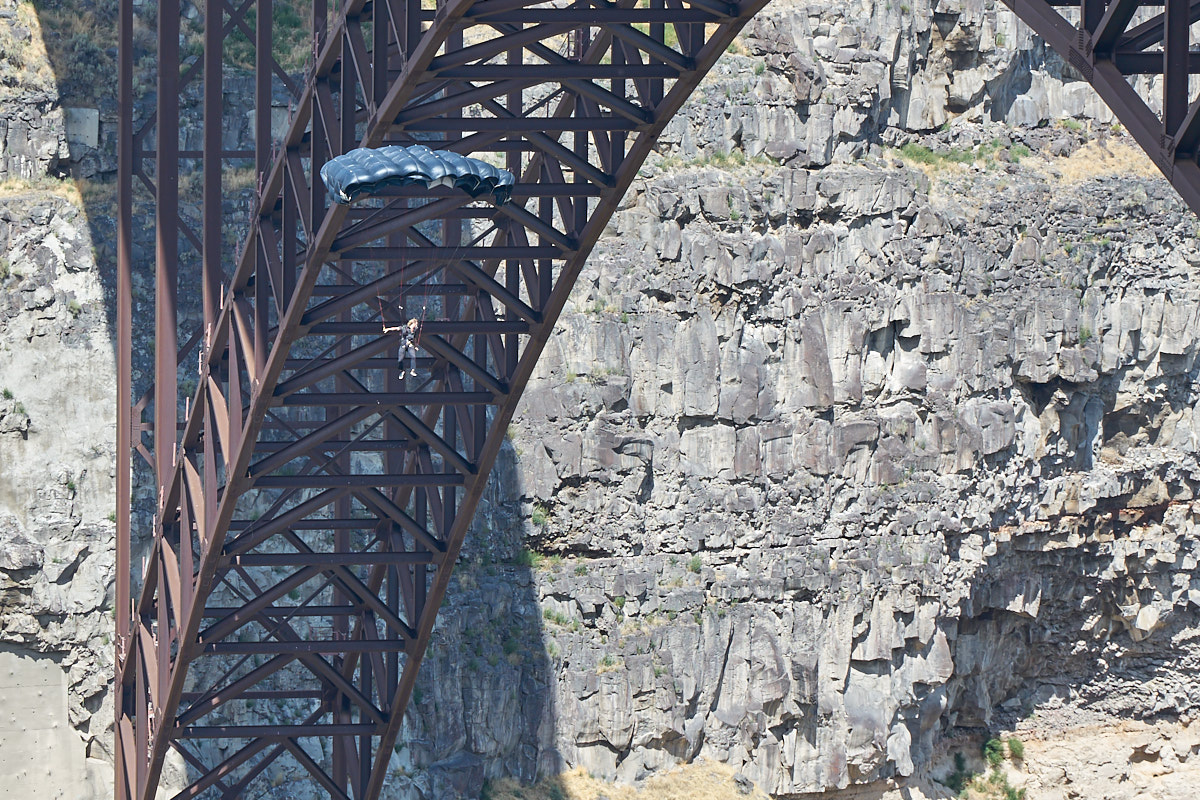
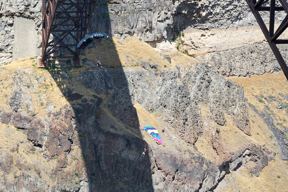
Both
jumpers appeared to be in good control as they descended.
| Previous Adventure | ||
| Trip Home Page |
Photos and Text Copyright Bill Caid 2017, all rights
reserved.
For your enjoyment only, not for commercial use.