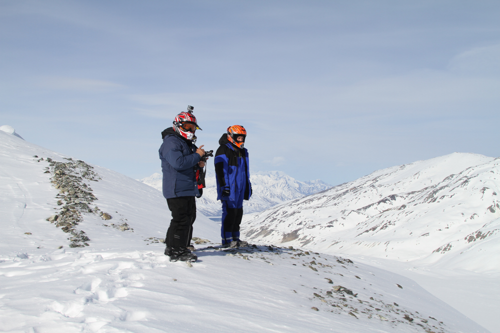
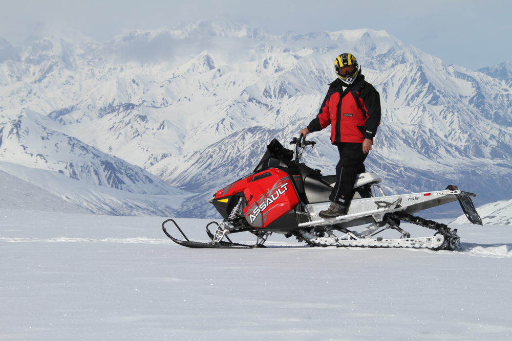
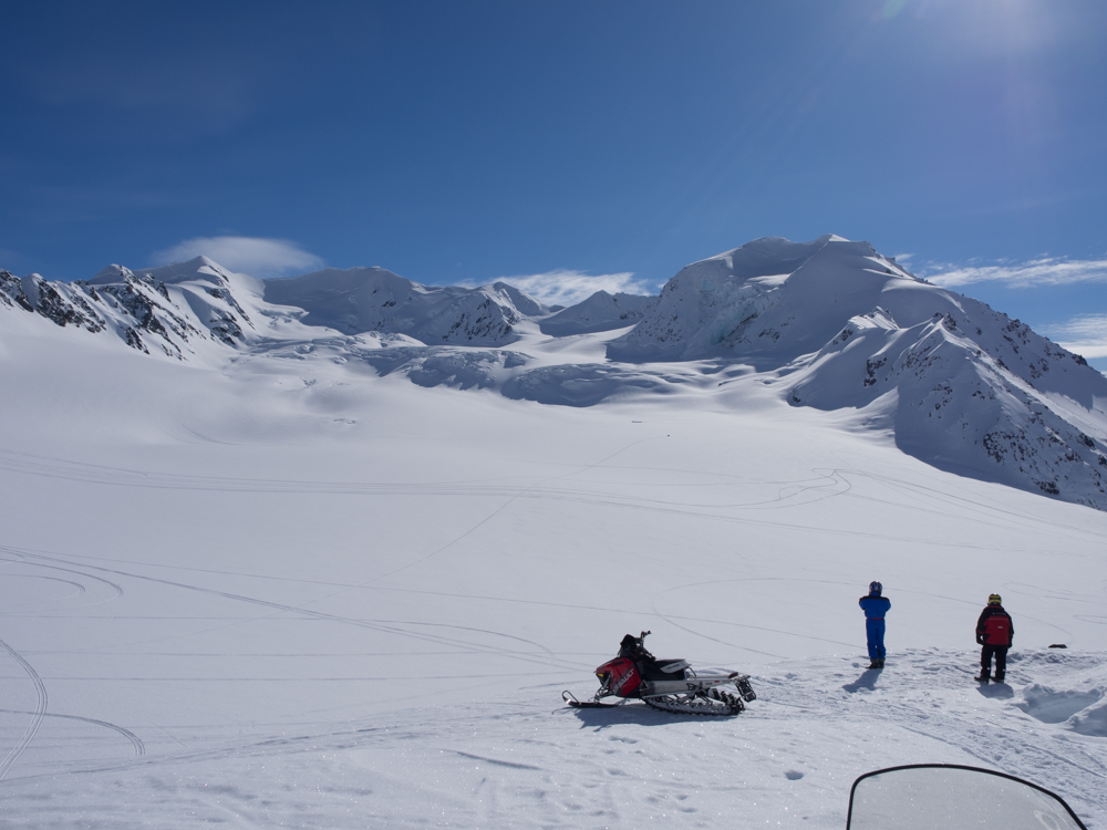
Bill and Dan take in the stunning view from the viewpoint. The GoPro on my helmet makes me look like a space alien.
The
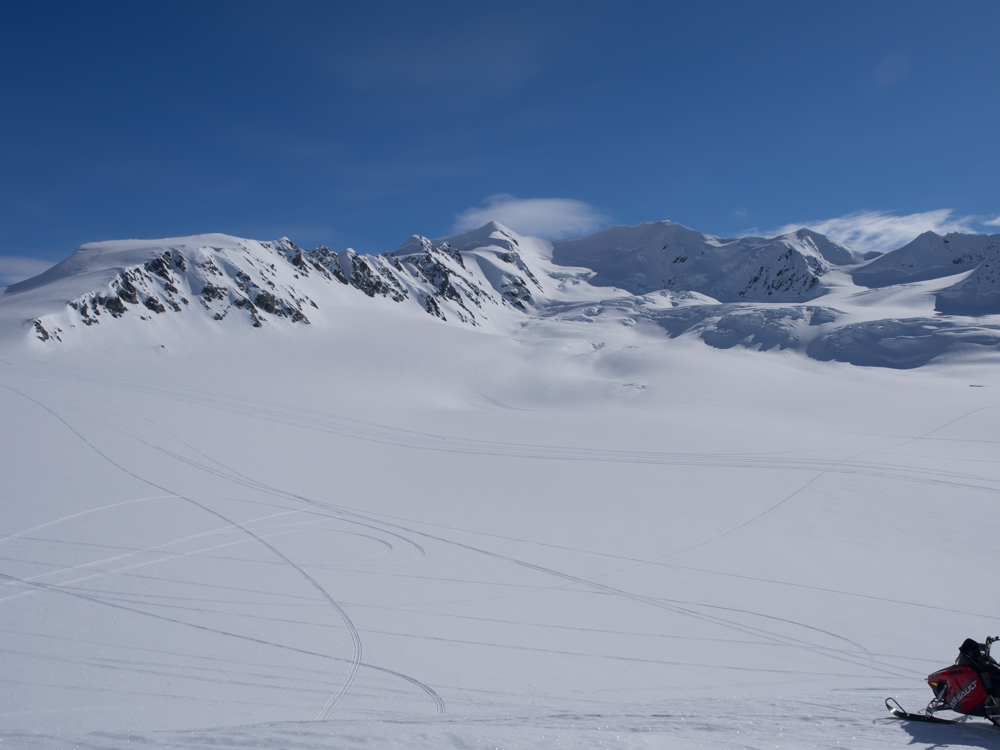
photos below are what we saw.
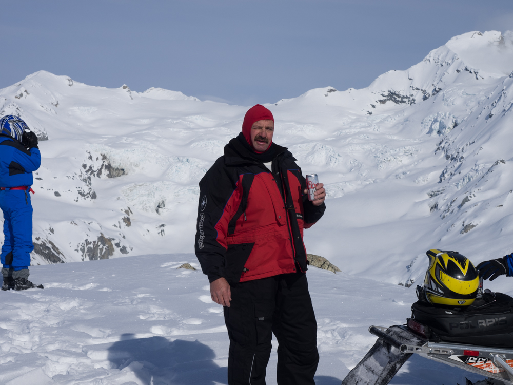
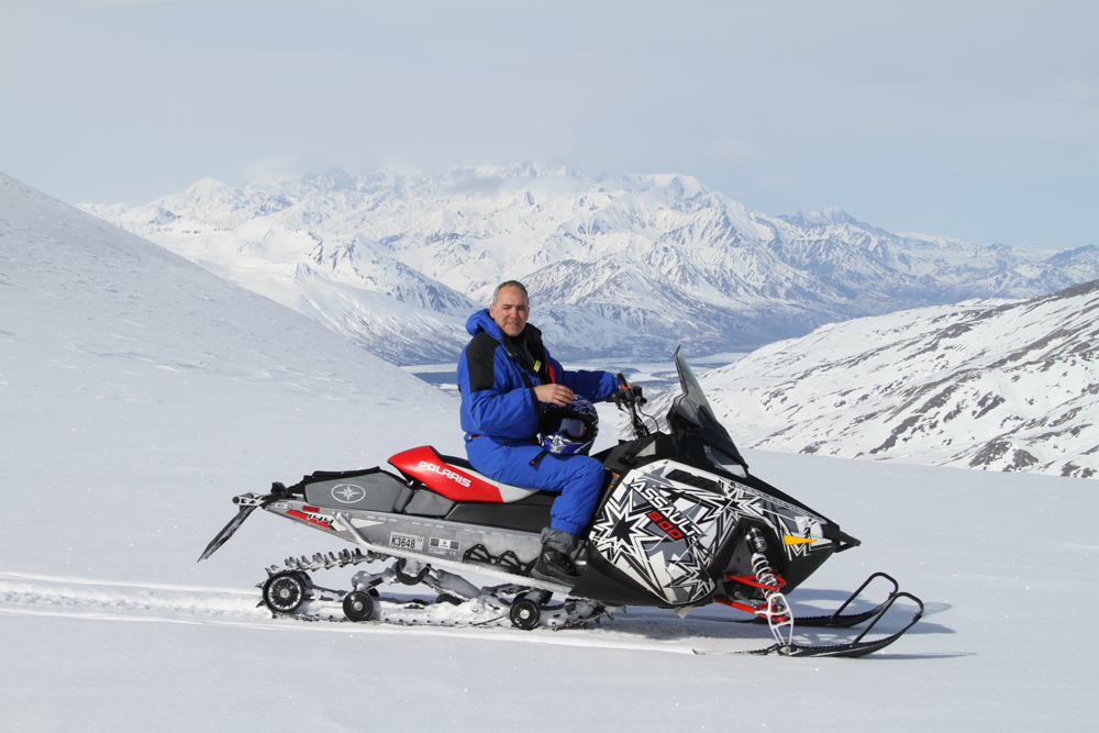
Roberto takes photos while Kai enjoys a "sports soda".
Roberto was having a great time.
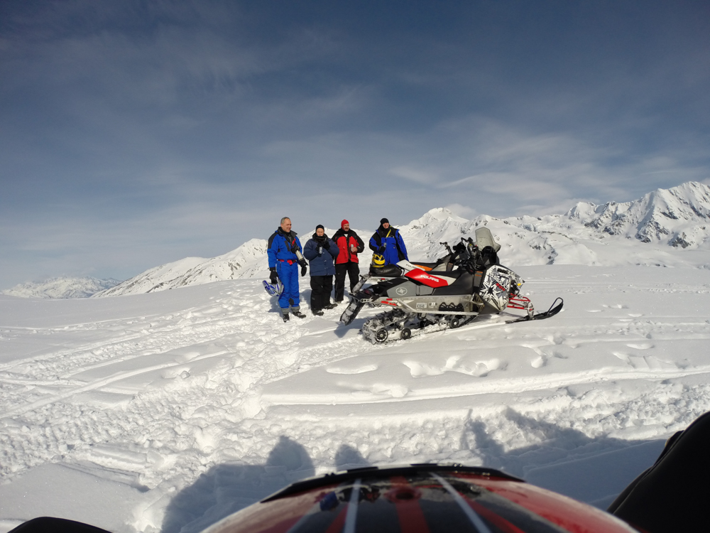
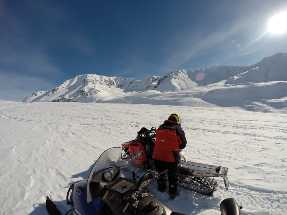
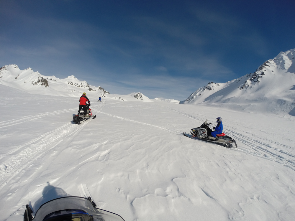
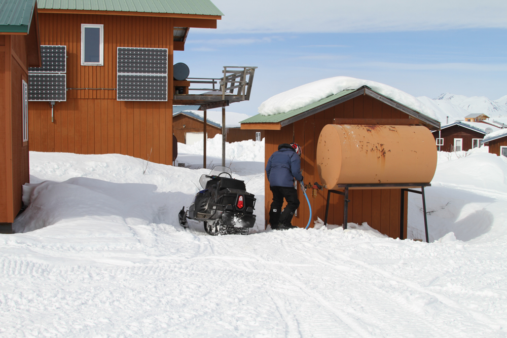
We packed and got ready to head down the glacier.
The
triangle-shaped hut on the small hill is a USGS glacier study
emergency shelter. The surface of the glacier was covered
with trackless snow.
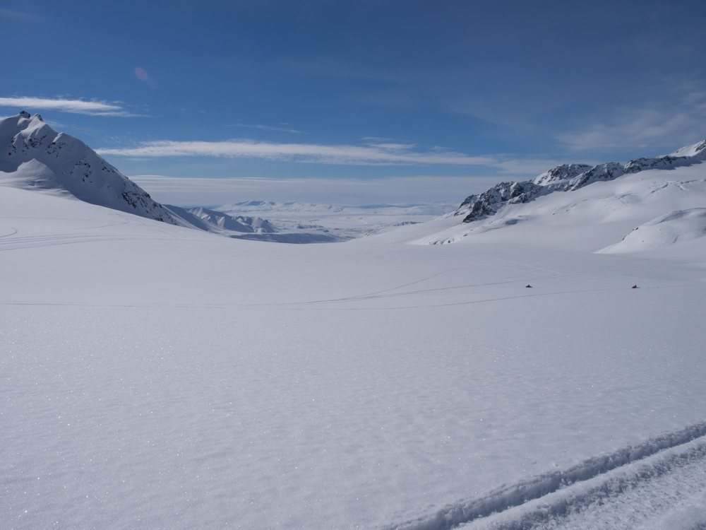
Summit
Lake and our cabin is down at the foot of the cliffs on the far
horizon.
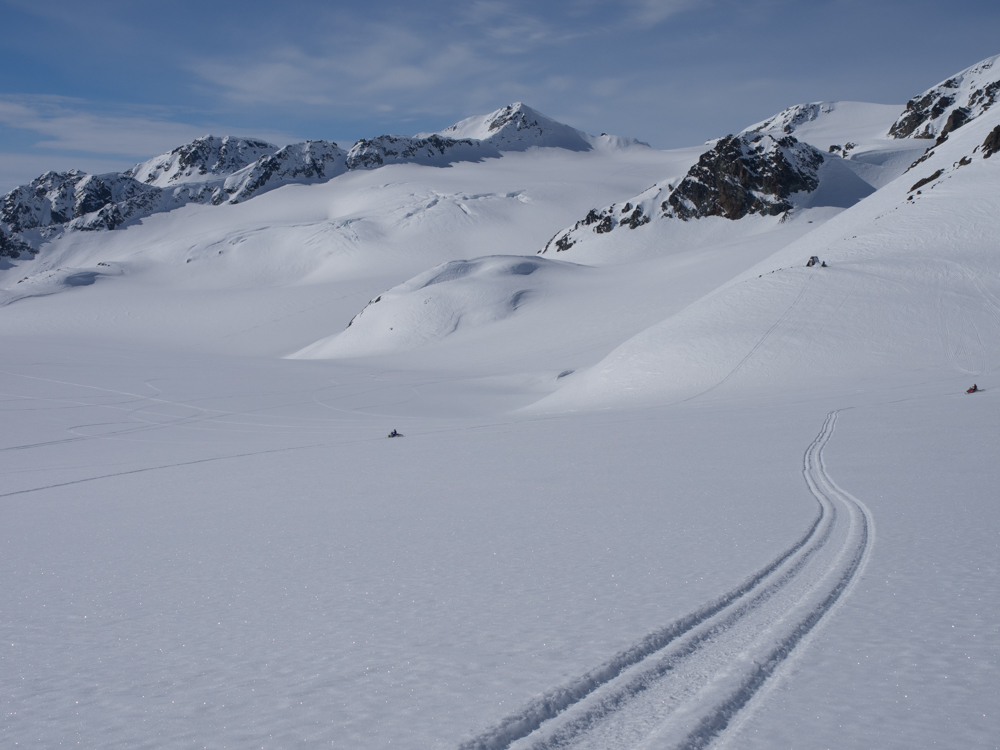
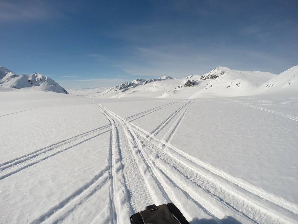
The
GoPro allowed shots while in motion, but often provided a visual
illusion about uphill and downhill.
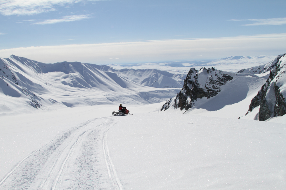
From the
shelter hut, we had a commanding view of the upper bowl.
The only
tracks in the bowl were ours.
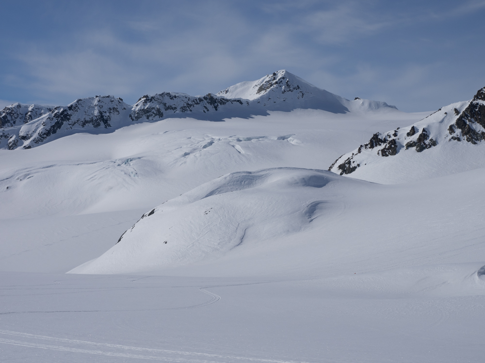
Note the
crevasses on the far slopes. Great caution is required in
areas that have crevasses.
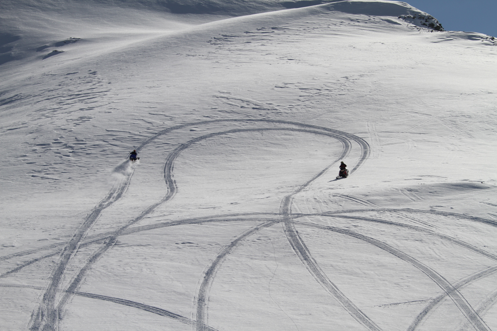
In the
upper bowls the guys were playing around leaving interesting
tracks.
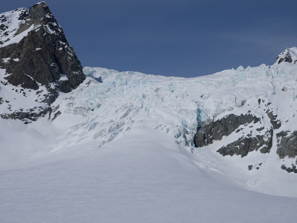
On the
exit from the valley we got another close view of the icefall.
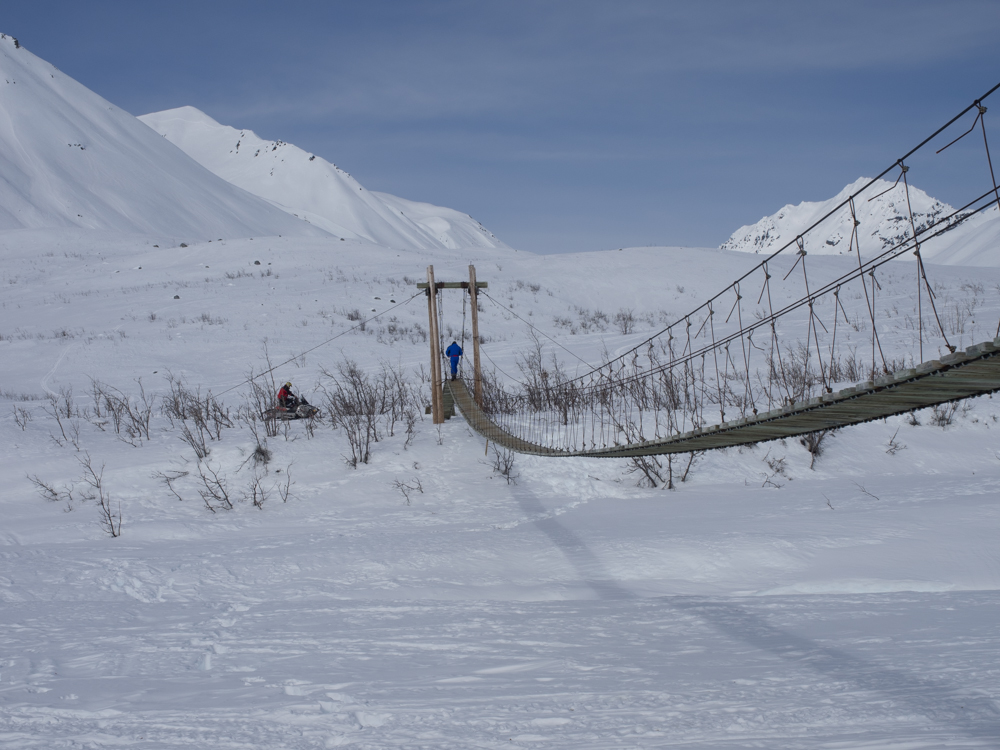
Further
down the valley we came upon a suspension bridge that crossed
the Gulkana River. This is required for crossing the river
when the snow is melting.
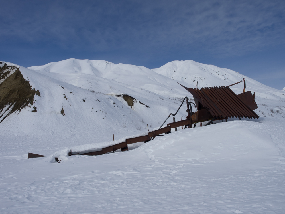
Near the
mouth of the canyon we passed some abandoned equipment used for
gold mining.
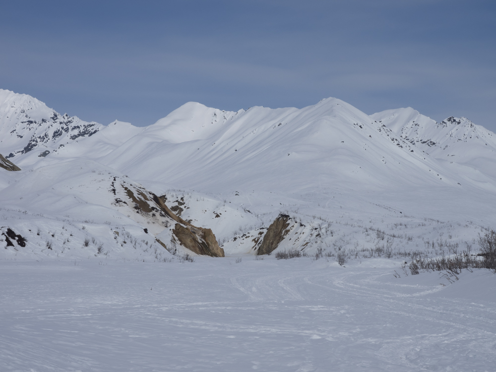
Near the
mouth of the canyon we spotted an interesting notch in one of
the side canyons. It was not clear if the notch was due to
the mining efforts or a natural occurrence.
| Previous Adventure | ||
| Trip Home Page |
Photos and Text Copyright Bill Caid 2014, all rights
reserved.
For your enjoyment only, not for commercial use.