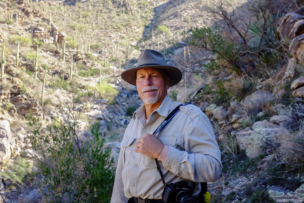
We contacted my cousin Jim
and we arranged a
hike in Sabino Canyon. Sabino is USFS administered and
is one of the nicest riparian areas in the area.
There is usually water in the canyon and the bottom of the
canyon has lush vegetation in normal
years. We met at the visitor's center and headed
up the canyon on the tram. From the last tram
stop, we hiked about 1000 feet up the canyon wall
and returned via the Telephone Line Trail.
The photos below are what we saw.
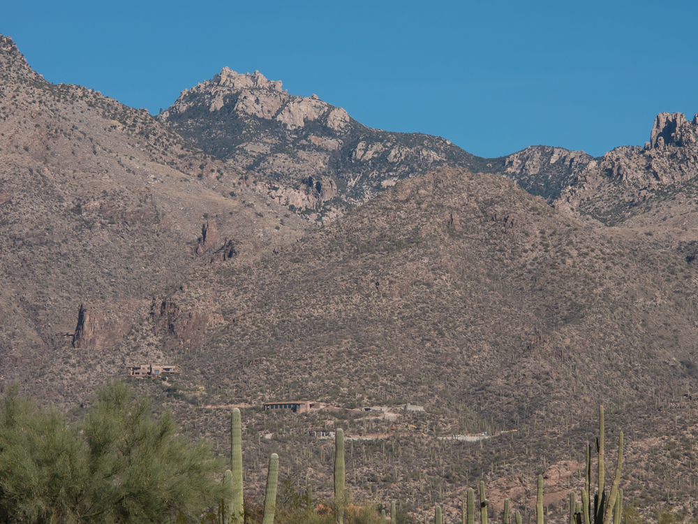
From the Vistor's Center we could see some
recent high-dollar homes
built right on the boundary of the Forest Service land.
We boarded the tram and
headed up the canyon. From the tram we could see the
front ranges of the Santa Catalina mountains.
The road through the
canyon has been modified over the years to prevent passenger car traffic.
Currently, only the way into the canyon is via foot or the tram.
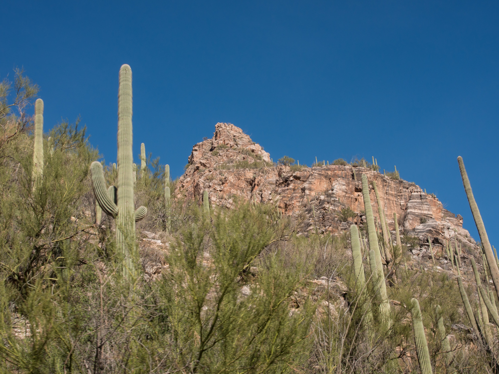
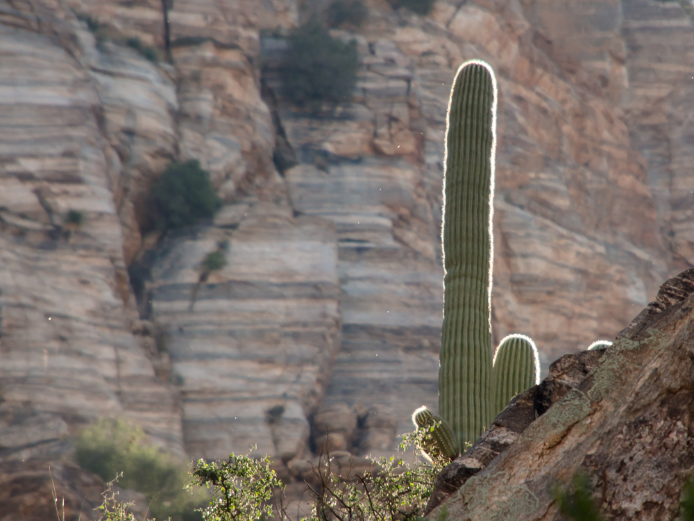
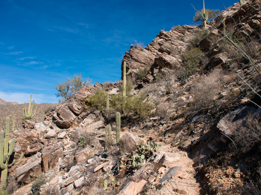
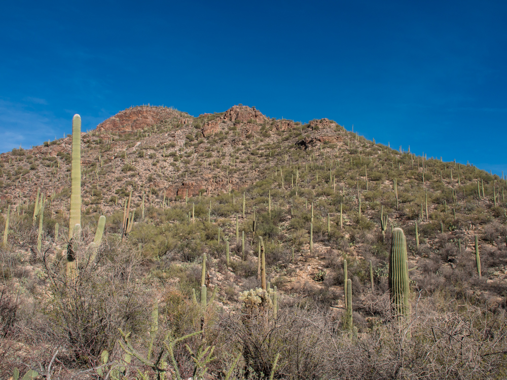
The road
passes under steep cliffs that were heavily covered with sahauro
cactus.
The lower canyon had plenty of water in the creek.
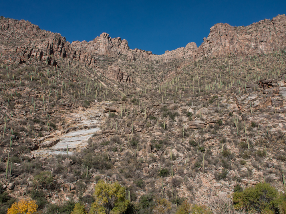
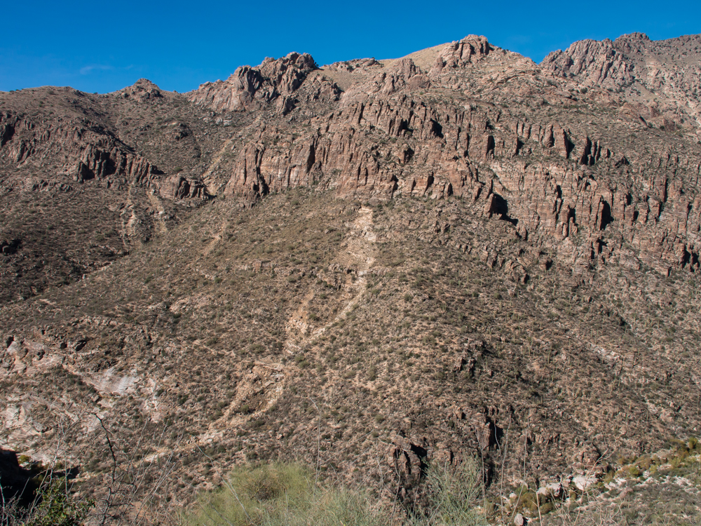
The east-facing canyon
walls were brightly lit by the morning sun. The steep canyon walls
were heavily covered with tall sahauros.
There were a number of
steep rocky outcrops.
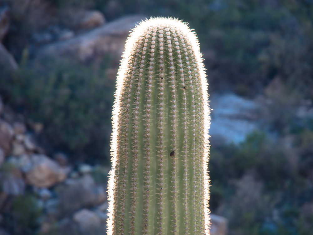
The morning sun backlit
the thorns on the sahauros
producing a halo effect.
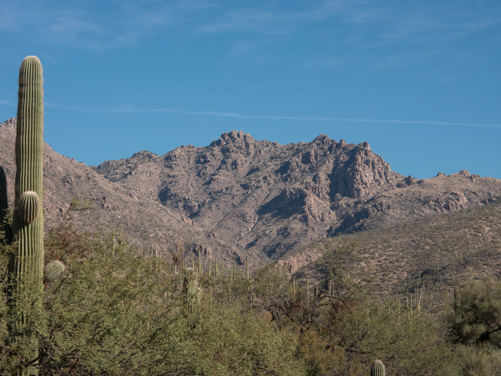
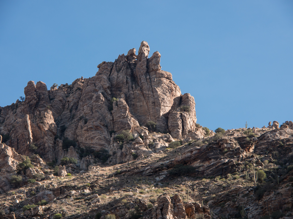
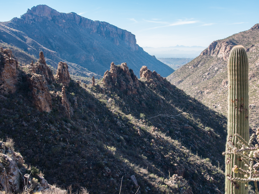
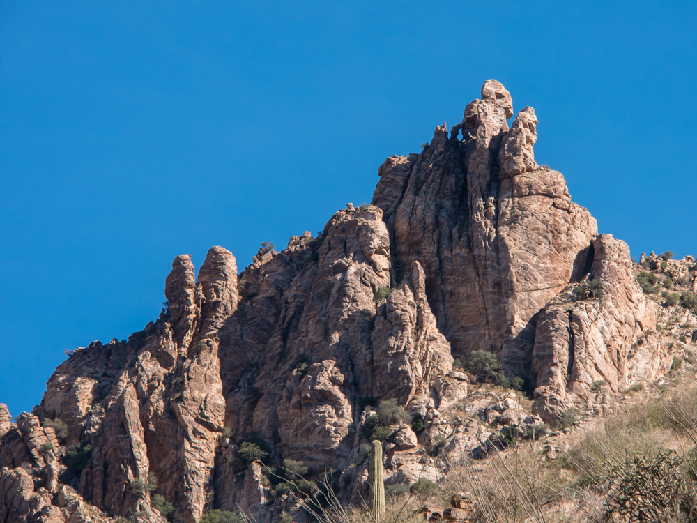
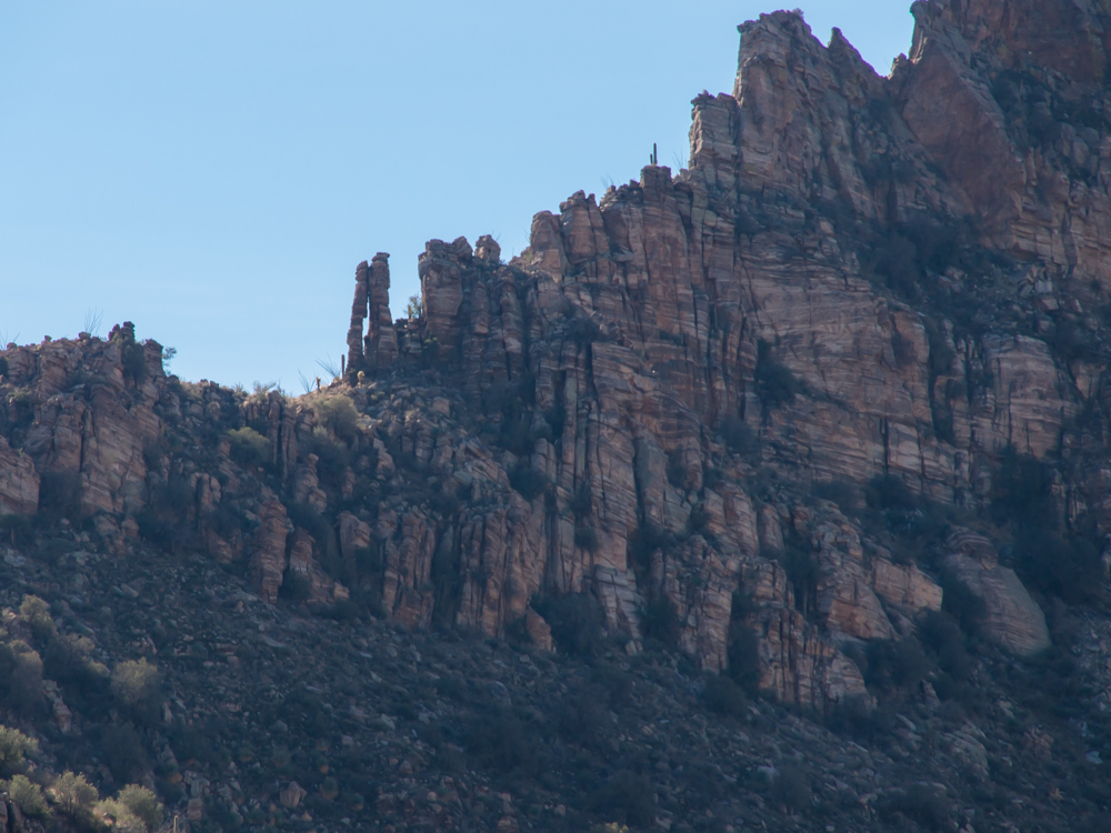
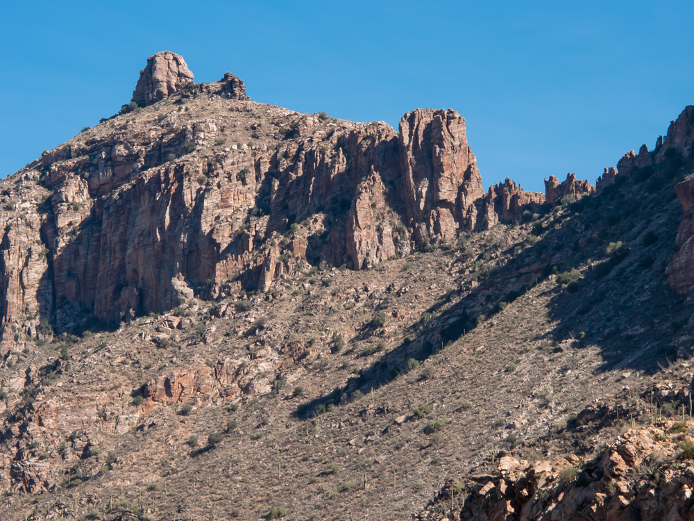
The upper ridgeline to the
east of the canyon was very rugged and
covered with
numbers of small spires.
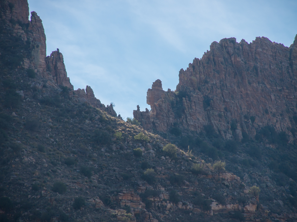
The sahauros on the
upper ridgeline were also backlit producing halos. Note the
backlit insects visible as the light spots to the left of
the sahauro.
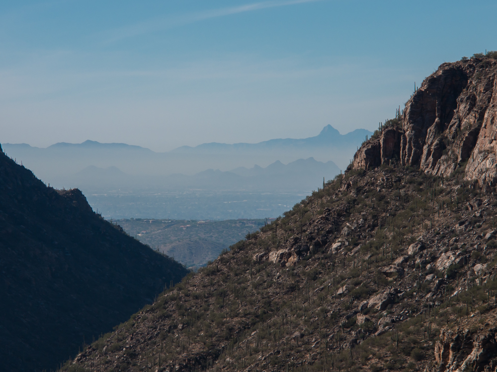
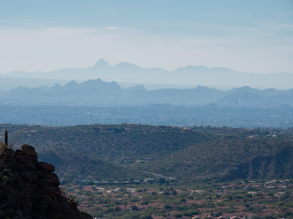
From the trail high above the canyon bottom, we had a view
of the Tucson valley. Visible in the distance are
the south end of
the Tucson Mountains as well as Baboquivari Peak in the Baboquivari
Range.
The Telephone Line trail
skirts the base of
the massive cliffs on the eastern wall of the canyon.
Baboquivari Peak is visible on the far skyline.
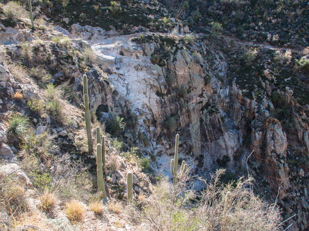
The west wall of the
canyon shows evidence of large rock falls that doze all the brush and
cactus off the face of the wall.
Note the needle-eye to the
left of the upper peak.
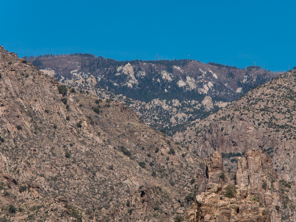
The trail gave us views of radio
transmitters located on Mt. Bigelow. Look closely at
the ridgeline and you will see the damage from a massive fire some years back.
Despite the significant
elevation change, the Telephone Line trail is both scenic and
not that hard.
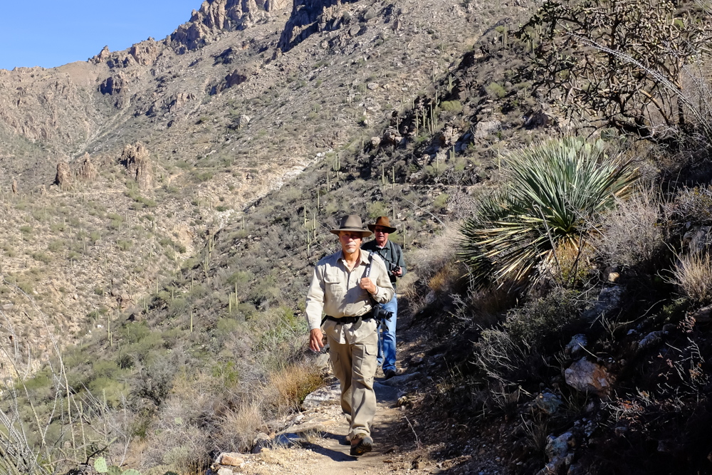
Kathleen got this photo of
Jim and I on
the trail.
The eastern ridgeline was covered with
tall rock
hoodoos.
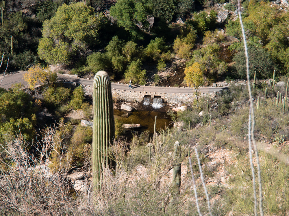
From high on the cliff of the eastern wall,
we could see a small waterfall down in the creek
bottom. The rock
on the bottom is banded gneiss and produces interesting
patterns.
Telephone Line trail passes over
very steep section that is a waterfall when it is raining. The white
section on the cliff wall is the waterfall.
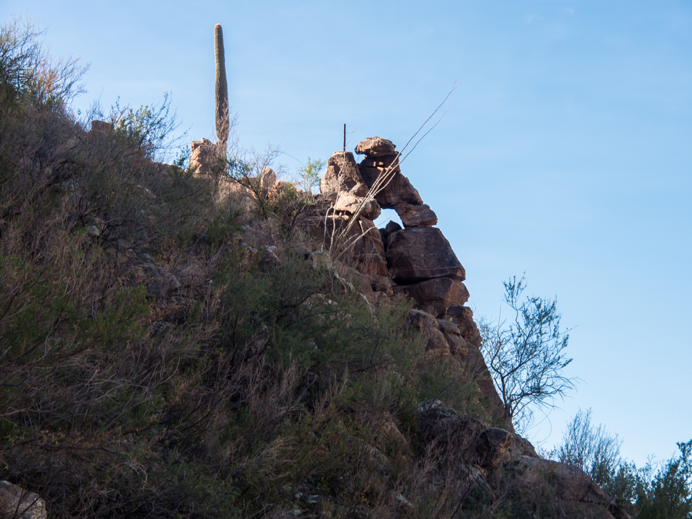
We passed several eyes in the rocky cliffs.
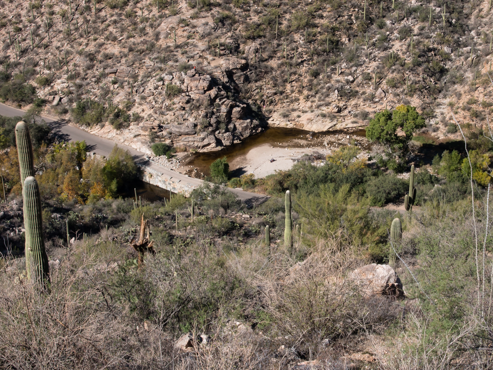
The tram path was visible
from the trail as was the beach along the creek.
Telephone Line trail
provides good views of Thimble Peak on the east ridge.
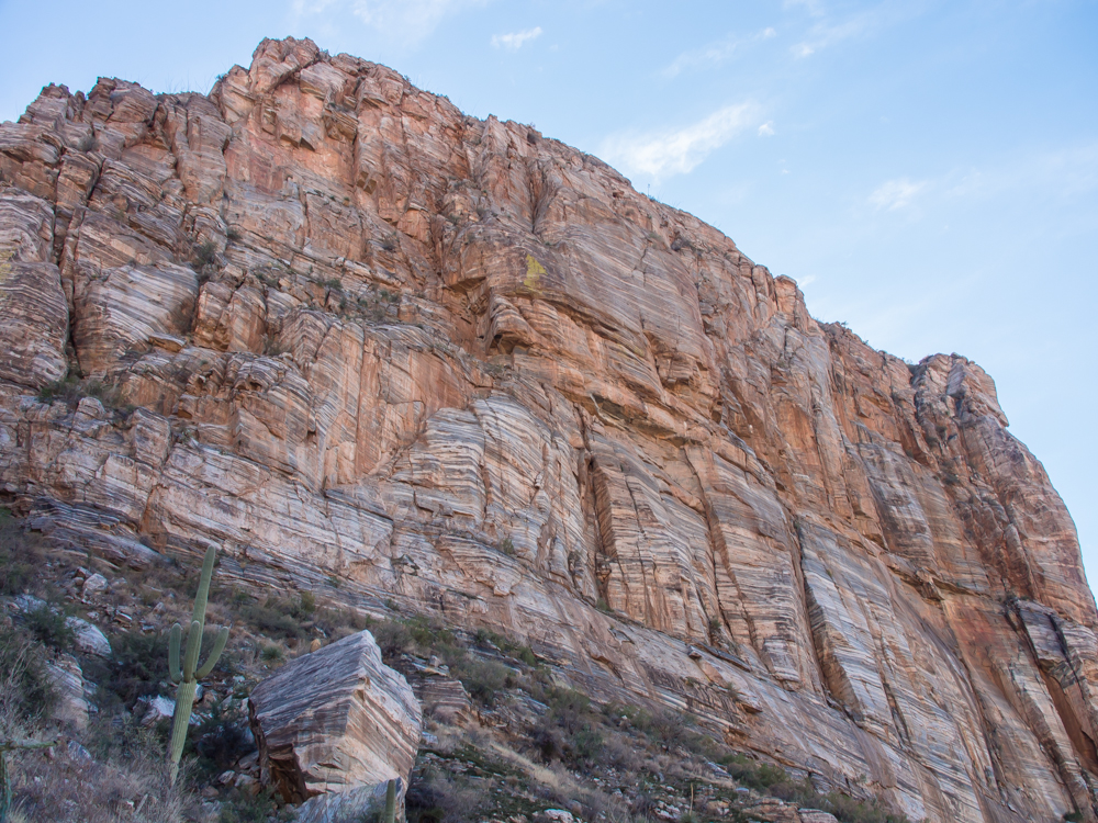
The trail passes
underneath a massive cliff of banded gneiss.
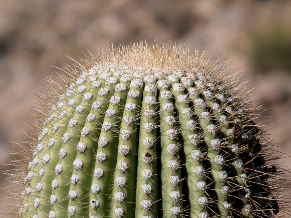
The sides of the canyon
walls were so steep
that from the trail we could see the tops of huge
sahauros. Note
the dense mat of thorns on the growth pad of the sahauro.
We came to a crest that
provided a view of the Tucson valley. Note "A Mountain"
at the right of the photo above with downtown Tucson in the
foreground. Baboquivari Peak is visible on the far
skyline.
The trail was steep and narrow as it wound along the contours
of the east canyon wall.
We got another view of the flowing
water in the canyon
bottom.
At the exit of the trail
we had a nice view of the low end of the east ridge.
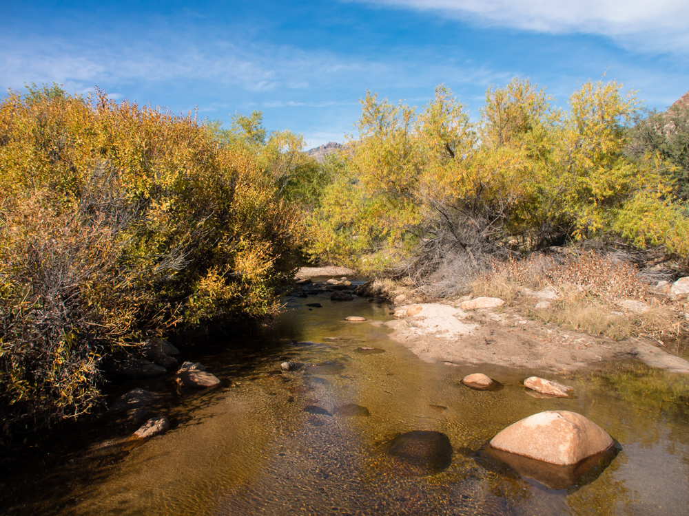
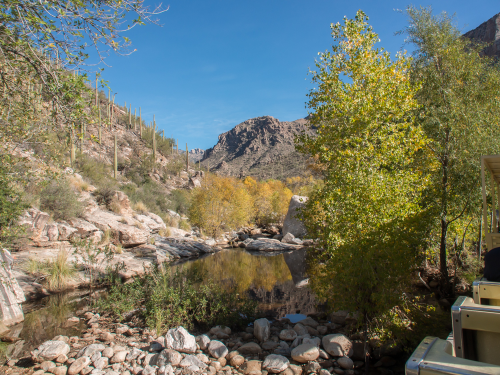
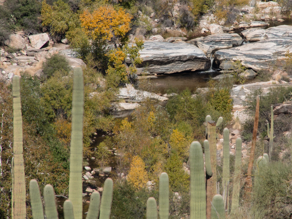
In the creek bottom, the
plants were turning colors in anticipation of winter.
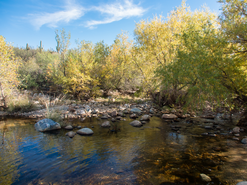
The pools of slow moving water provide nice reflections and
relaxing sounds.
| Previous Adventure | ||
| Trip Home Page |
Photos and Text Copyright Bill Caid 2013,
all rights reserved.
For your enjoyment only, not for commercial use.