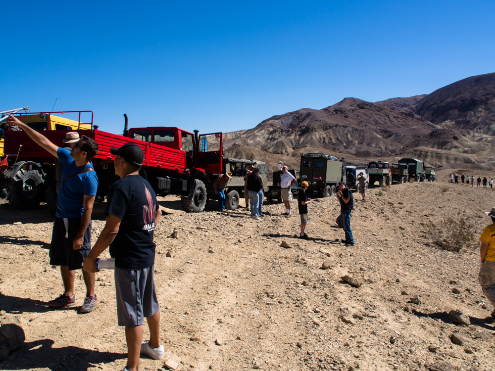
Day
2 was an organized trail run into the mountains to the north of
Calico.
The photos below are what we saw.
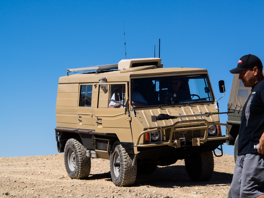
Joe's
trail-proven 404. The "special" body work was compliments of
one of the many canyons in southern Nevada.
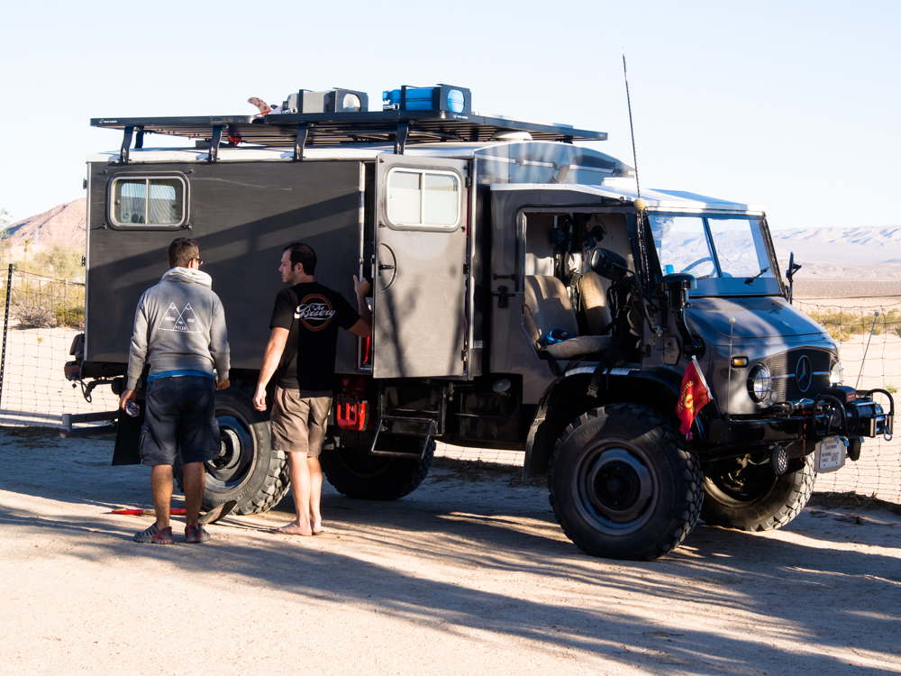
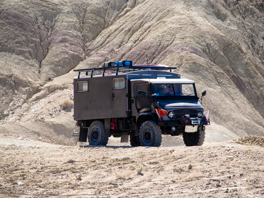
This
404 radio box was nicely painted and fully equipped.
A
very nice Pinz ambulance box.
Matt
and Nancy's Altar proven 416.
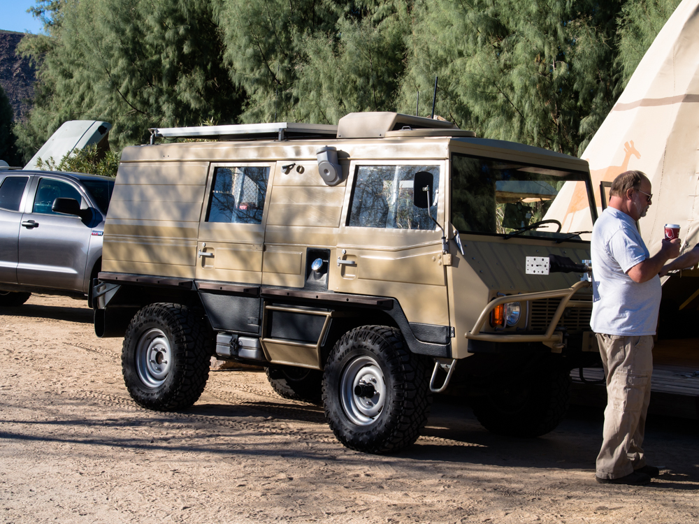
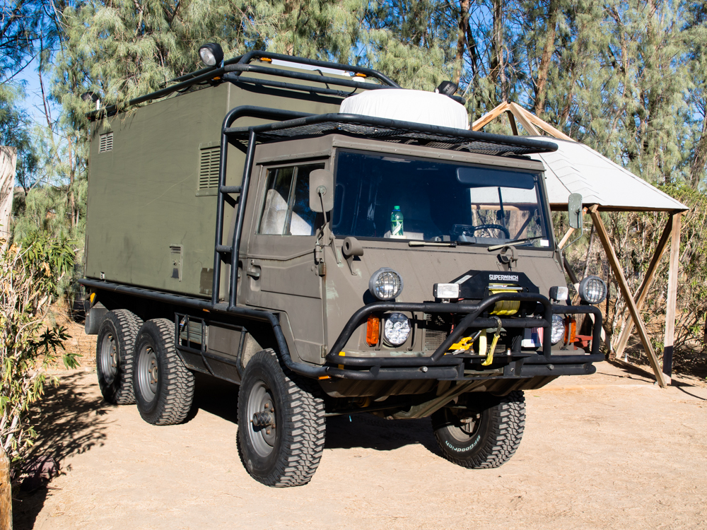
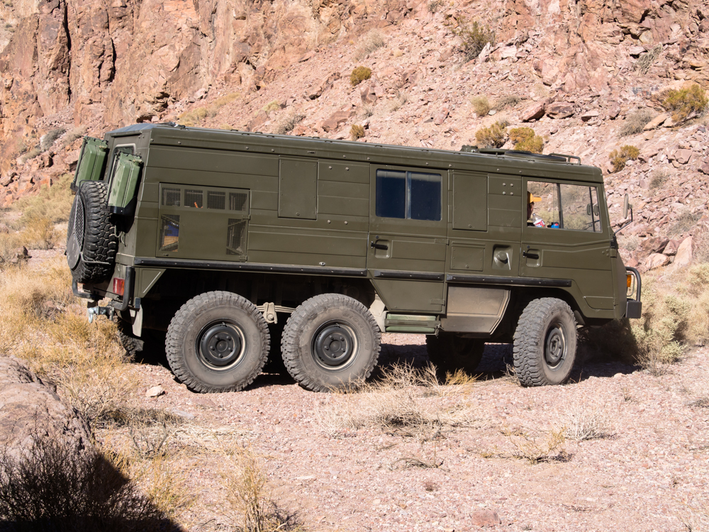
A
nicely painted Pinz 710.
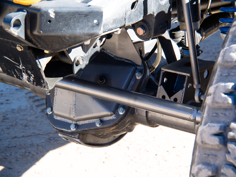
One
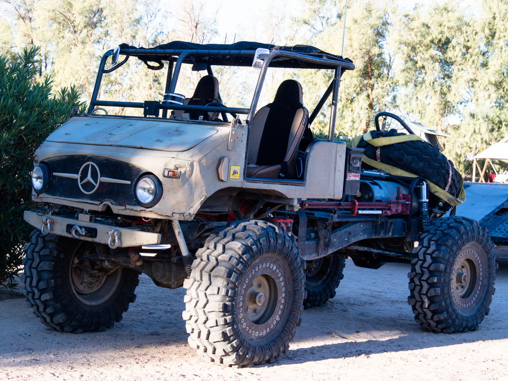
of the jeeps that joined us had a fully custom drive line.
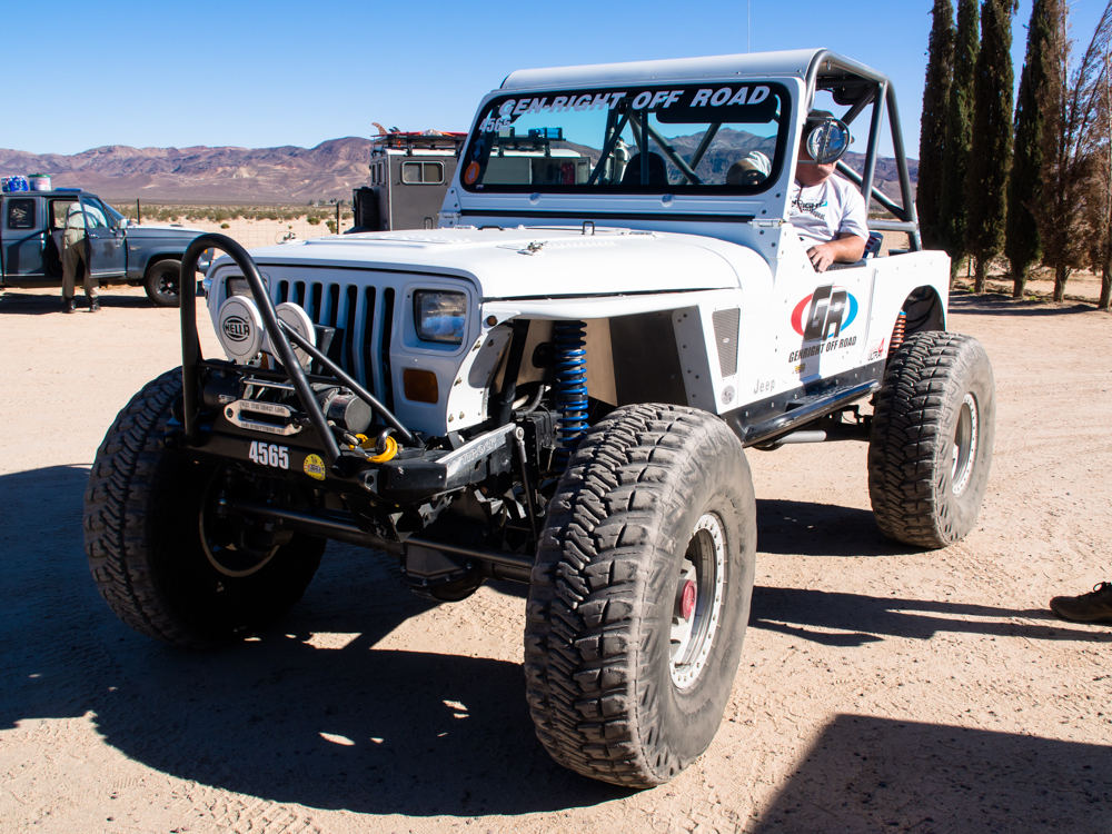
This
fellow put a ton of money into his ride.
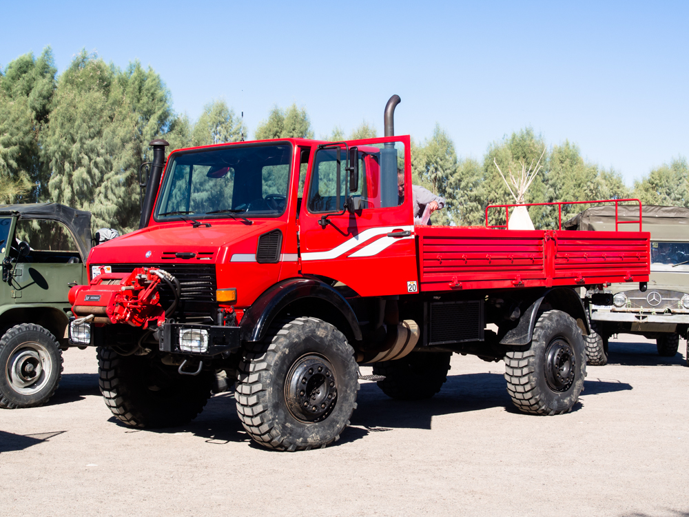
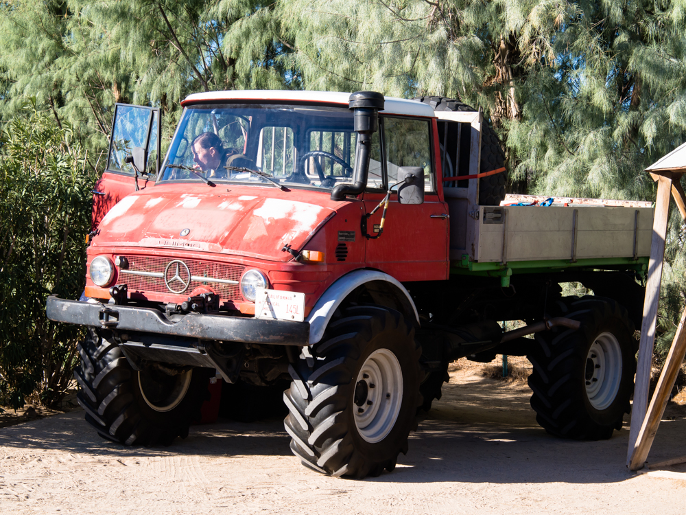
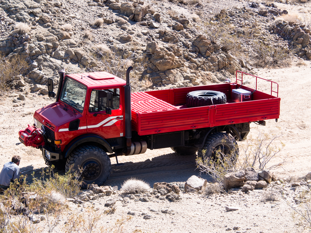
Richard
brought "Big Red" for some Calico trail work.
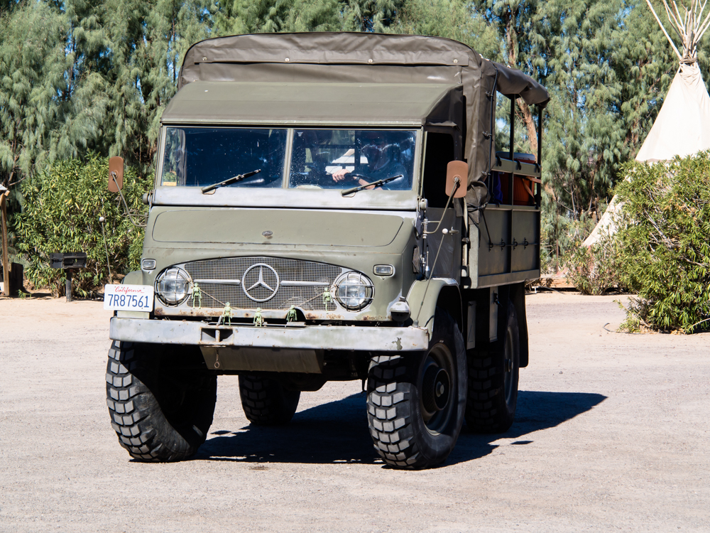
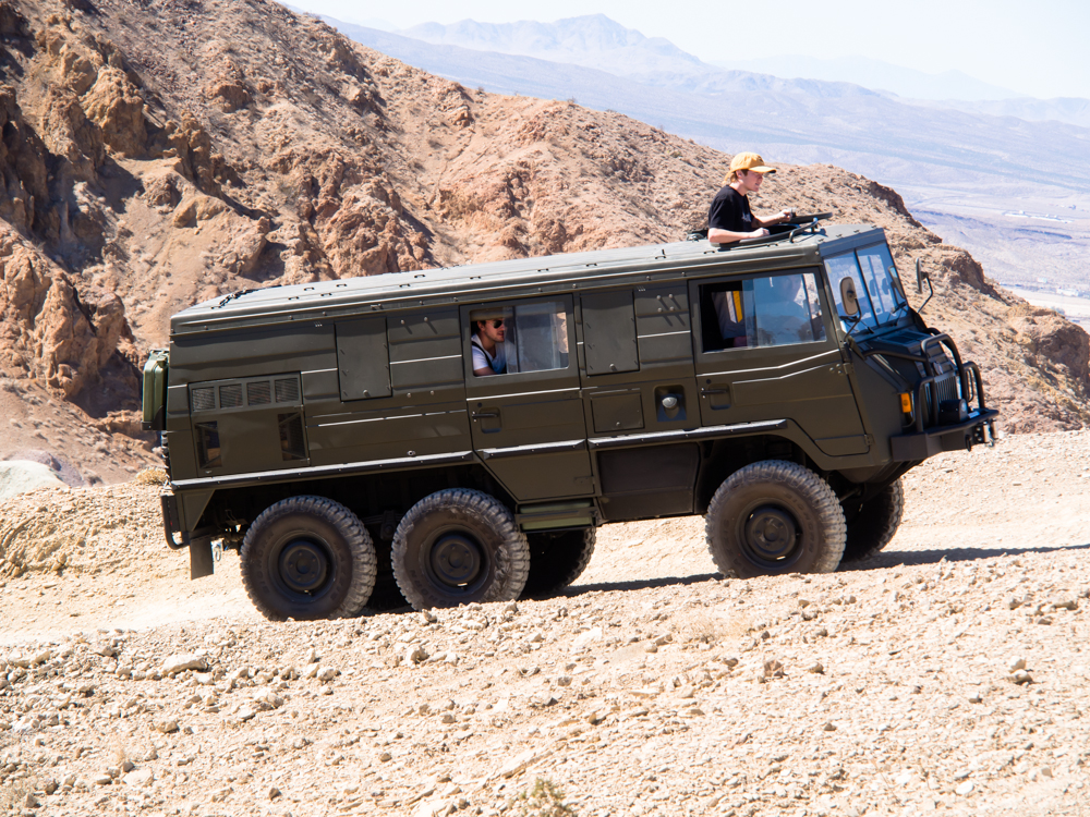
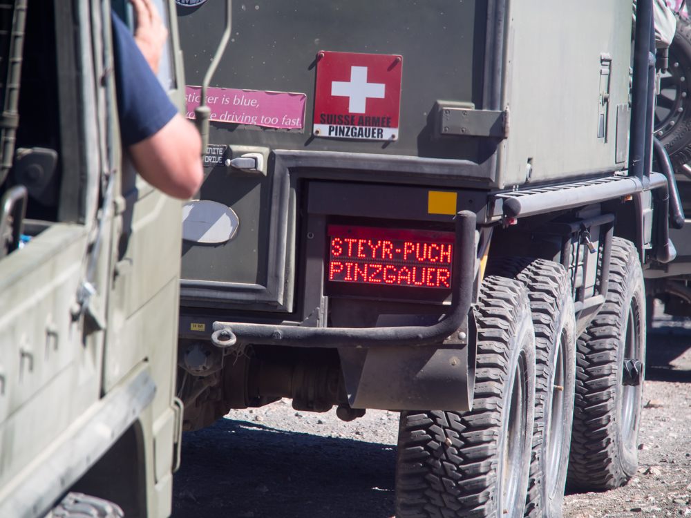
A
classic Swiss 404.
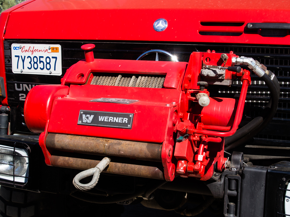
Richard's
winch was the largest thing imaginable.
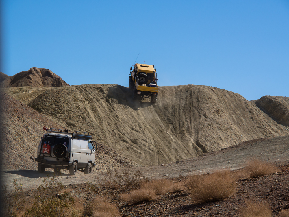
We
headed out to the mud hills and got right to it. Eric's DOKA
goes up the steep hill with no problem.
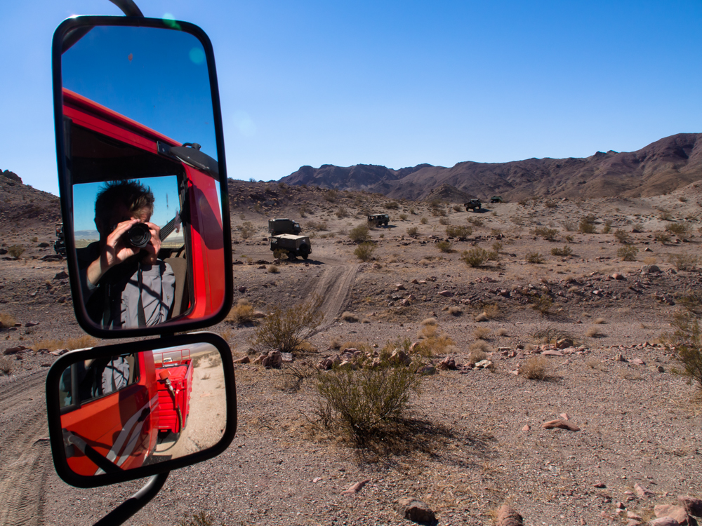
I
shot this by sticking my camera out the window and shooting
backwards. The light colored mud hills are a great contrast
to the volcanic ejecta covered hills in the background.
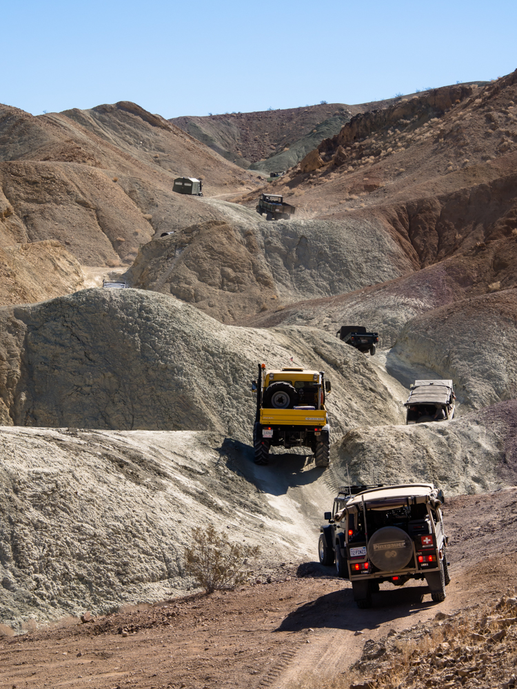
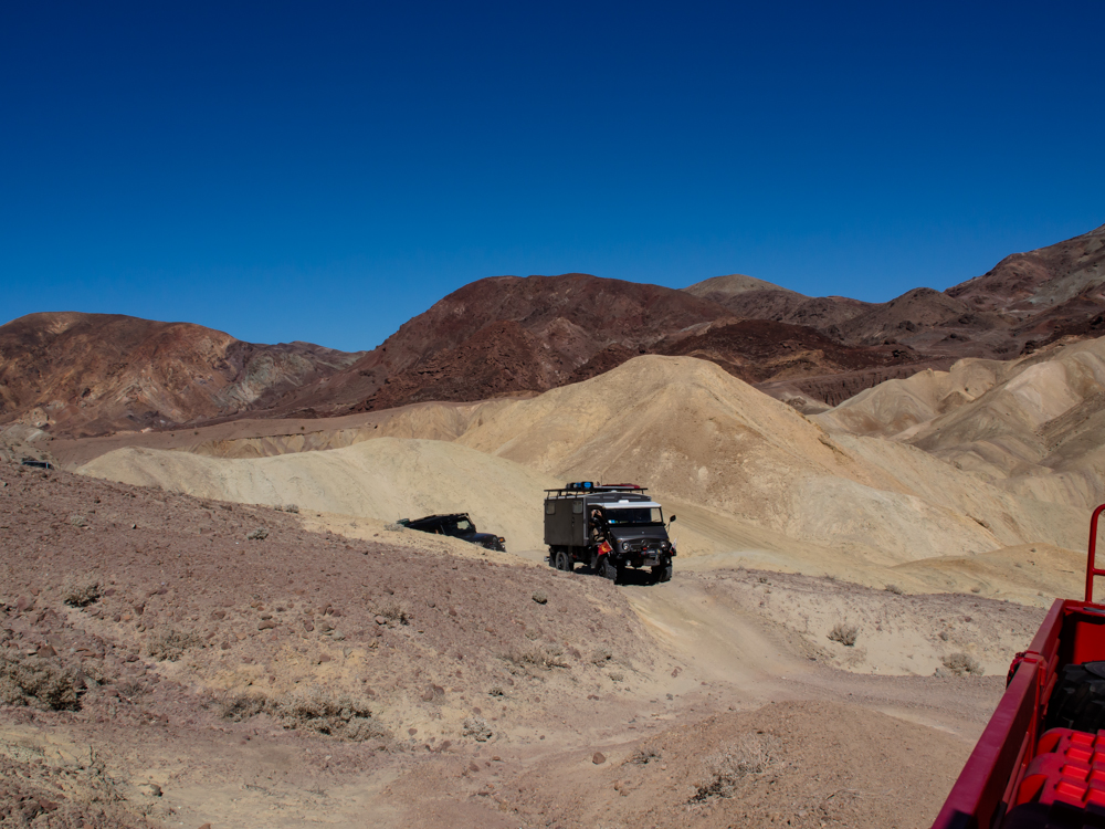
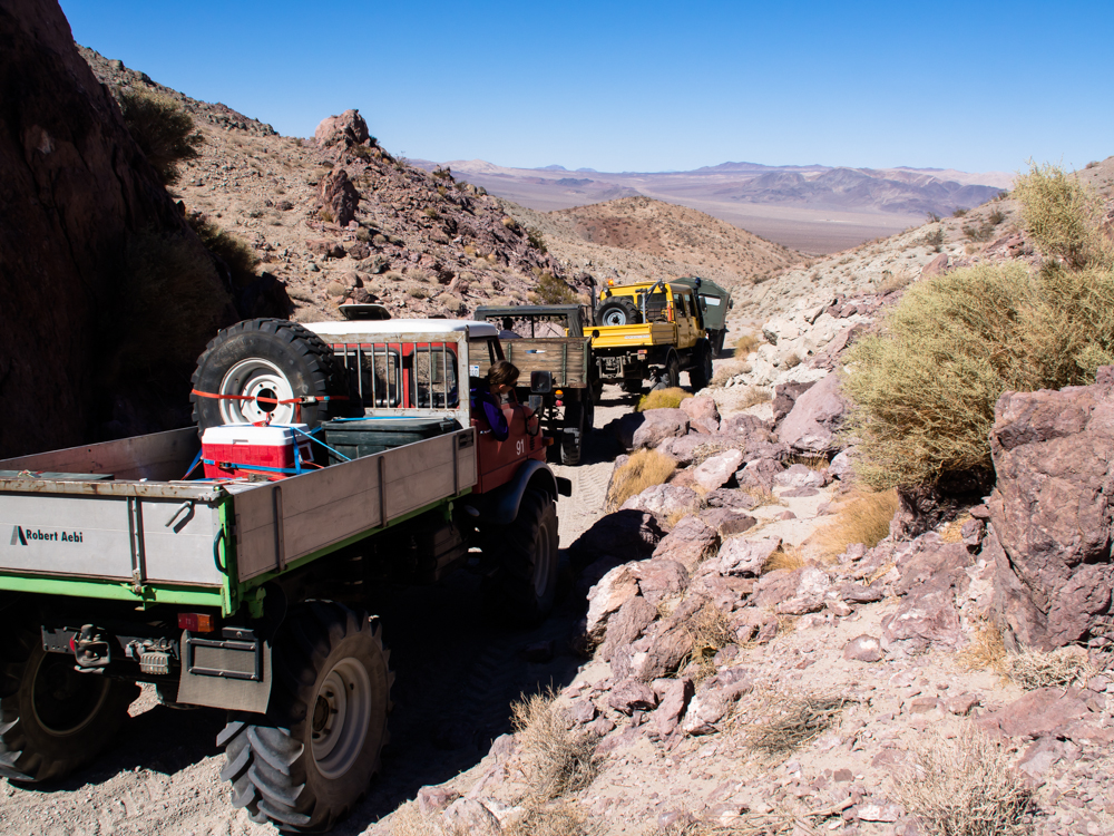
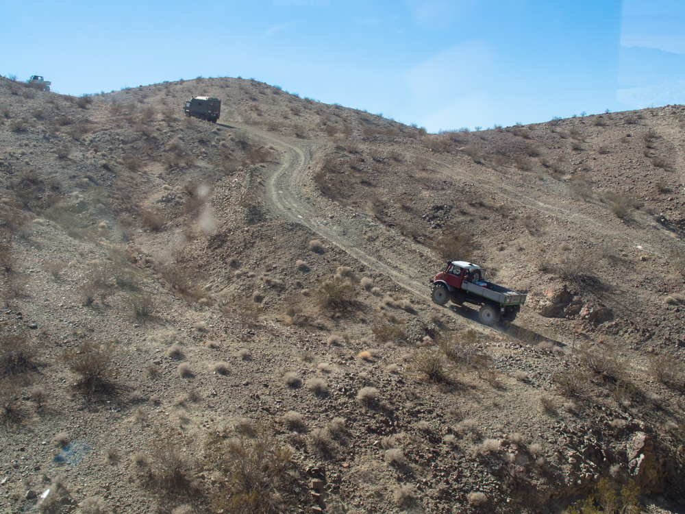
The
trail through the mud hills were much harder than they
looked. They were steep and narrow.
The
bigger SBUs barely fit through the notches.
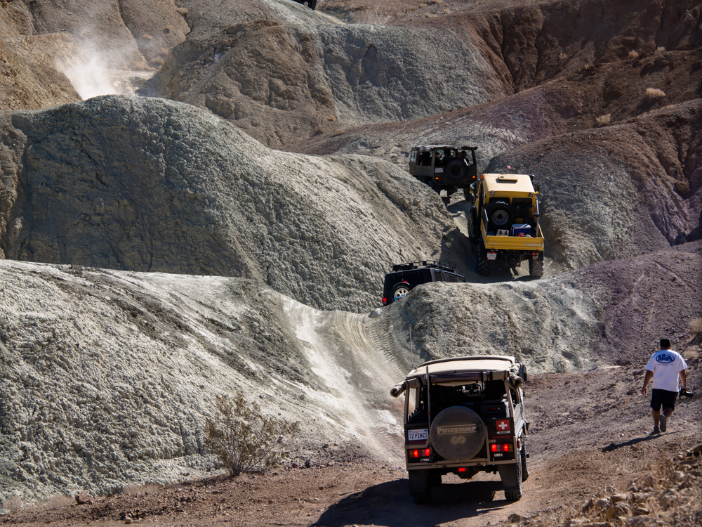
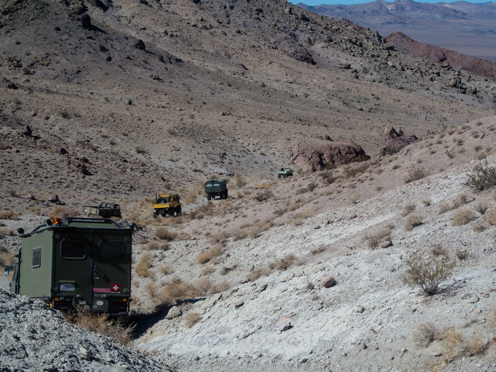
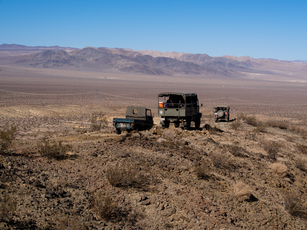
The
group paused on the upper ridge to insure that all trucks were
accounted for. About 1/2 of the group was behind us.
The
group got quite spread-out and it took awhile to get everyone back
together.
A
very nice Pinz 710 with a new paint job.
Han's
factory rebuilt 712 Pinz is virtually new and is sorely in need of
some brush scratches.
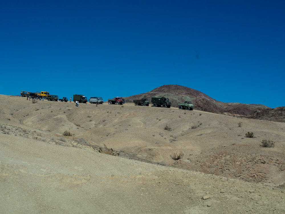
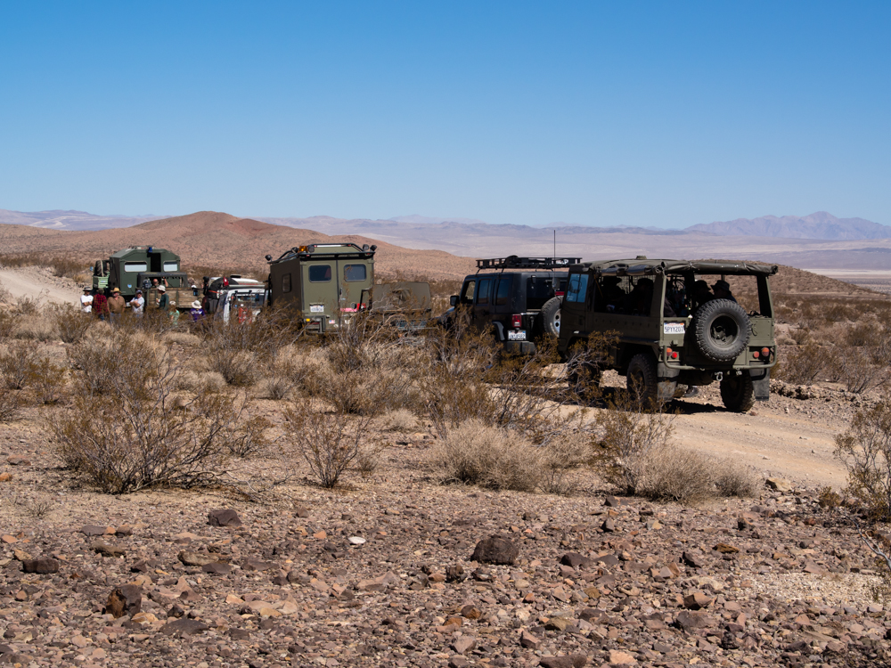
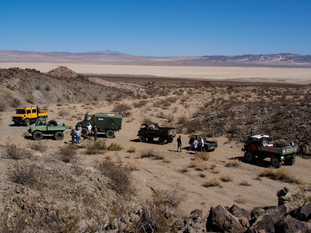
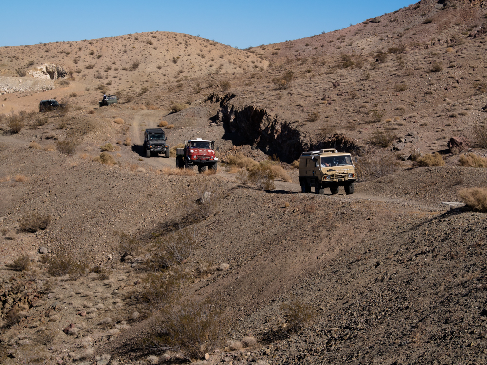
This
was about half of the group on this run.
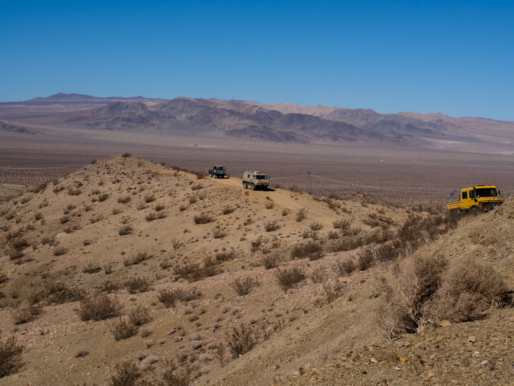
We crossed over the ridges and descended on the far side with a view of a dry lake in the distance.
A bit further down the trail we stopped again. Above, Richard examines the underside of Big Red to insure that there are no fluid leaks.
At this stop there was another dry lake in the distance.
We noted one of the Pinz guys had custom LED brake lights.
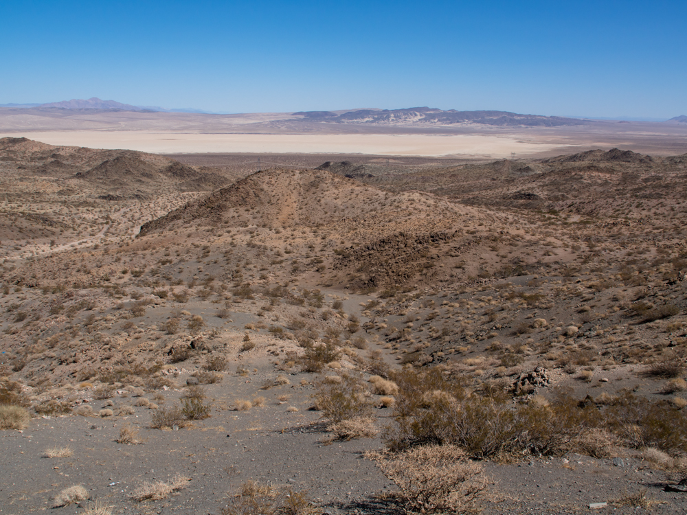
The dry lake in the distance was quite spectacular. At this point we were south of Ft. Irwin AKA National Training Center.
We crossed over a pass and descended the other side.
We hit a narrow spot in the trail that required the bigger trucks to look it over carefully.
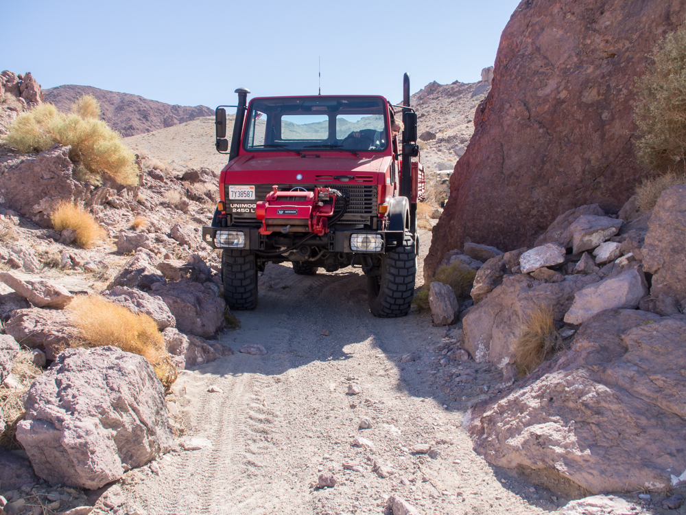
This was very tight for Big Red.
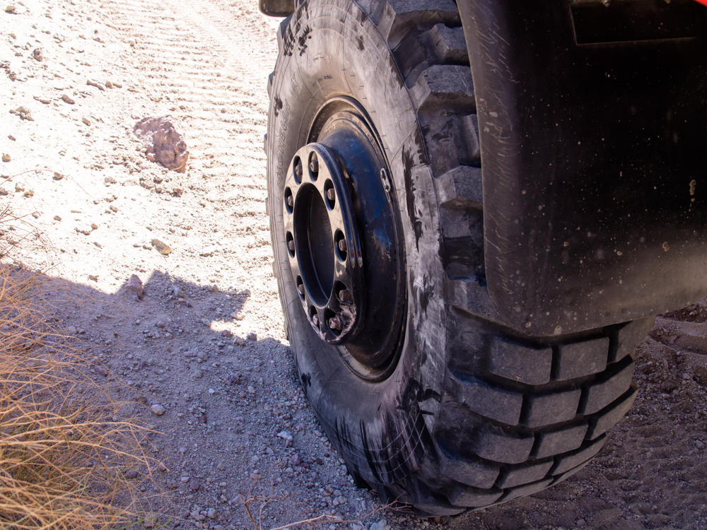
The tight spot did some damage to the wheel protector. We did not believe that the wheel studs were damaged.
Some of the grades were quite steep.
We reached a ridge line where the power lines were visible but our path took us to the south.
The Haflinger was dwarfed by the 404.
The group was getting quite spread out and we were also getting "positionally uncertain". It took some careful inspection of the map to get things back under control.
I drove Big Red and Richard worked the camera.
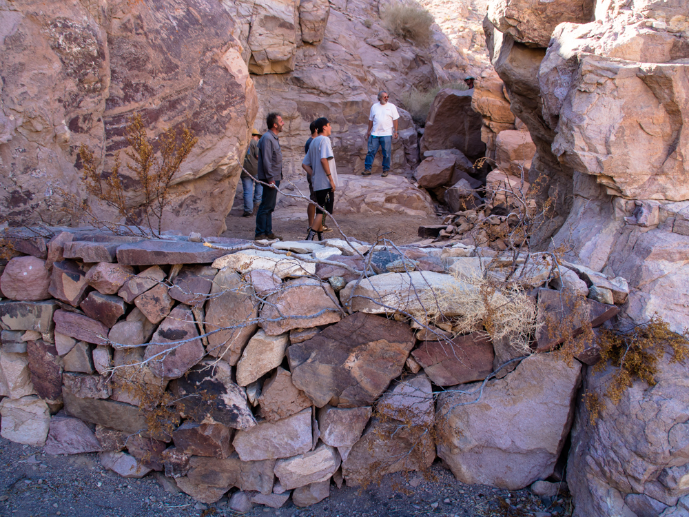
During our time of "positional uncertainty" we stumbled upon a hippie dwelling built into one of the canyon walls. Note the rock wall: very durable at least until the first big rain.
We ended up turning around as part of the resolution of our
positional uncertainty.
| Previous Adventure | ||
| Trip Home Page |
Photos and Text Copyright Bill Caid 2013, all rights
reserved.
For your enjoyment only, not for commercial use.