The photos below are what we
saw.
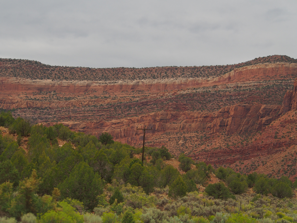
The dirt trail ended in
Nucla, CO and then we headed west toward the Dolores River
Valley. The valley was flanked by large sandstone cliffs.
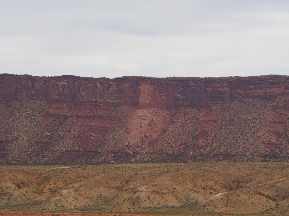
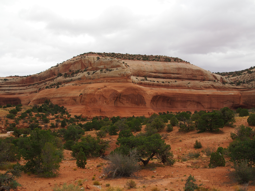
Higher in the valley, the
red rock walls were striated with white sandstone layers.
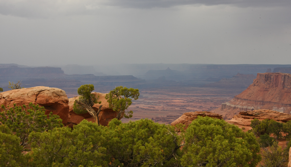
The sandstone formations
created not only nice cliffs but isolated mesas as well.
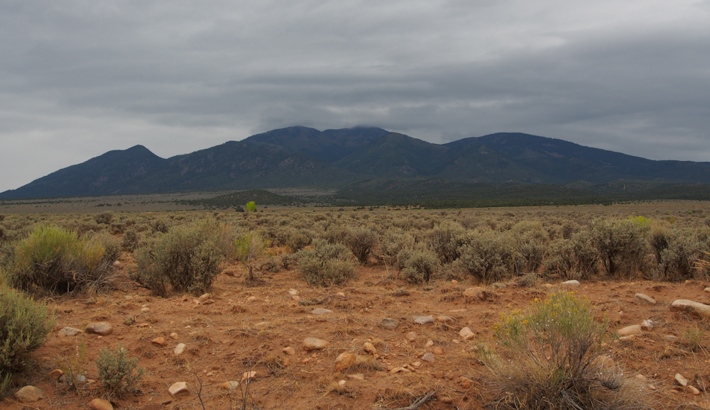
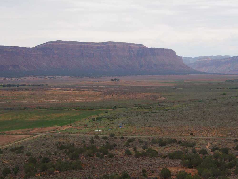
We continued west past La
Sal, UT where we could see the southern flank of the 12,000+
foot La Sal range. Our original route was to traverse the
La Sals, but the bad weather covered the upper reaches of the
mountains in clouds so any views would be obscured. As a
consequence, we decided to travel around the range.
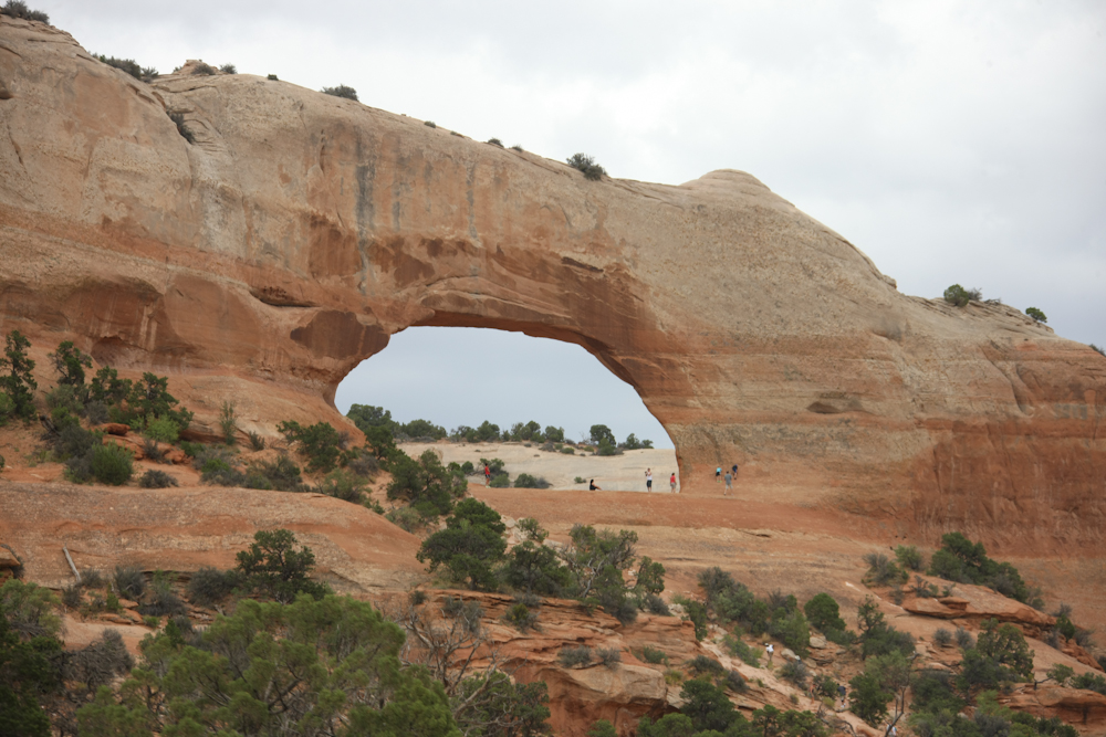
We hit US-191 and turned
south. Just beyond the La Sal Junction, Wilson Arch was
visible from the highway. There were plenty of tourists
parked along the highway taking photos or exploring the
surrounding area.
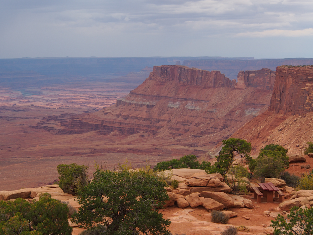
We continued south on US-191
and decided to go to the Needles Overlook viewpoint. We
were overcome by an urge to eat, so we stopped in the
Windwhistle Campground and made sandwiches. The camping
area was nestled in a small side canyon that was ringed by the
high sandstone cliffs.

Many of the corners in the
cliff had developed overhanging alcoves.
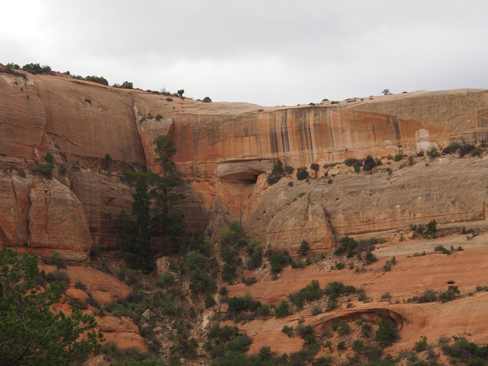
Some of the alcove areas
were attempting to form arches. Note that there are two
arch areas in the photo above.
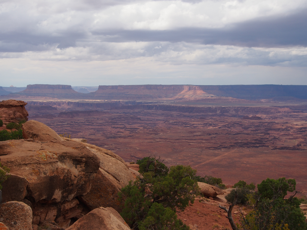
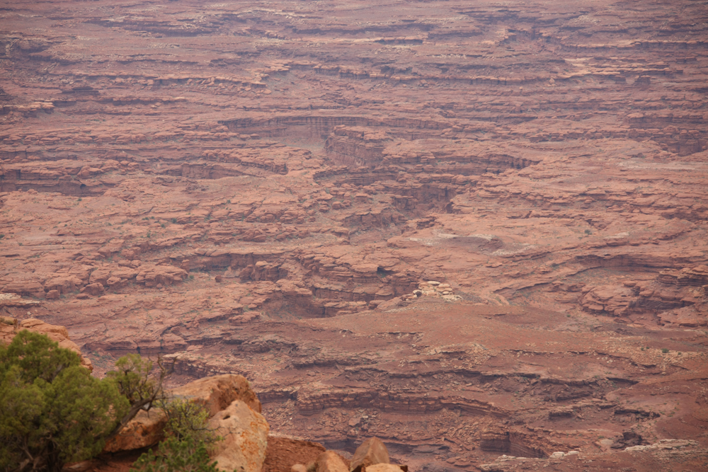
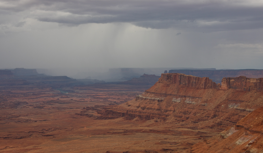
It rained off and on during
our side trip to the Needles Overlook. I was concerned
that the flat light would result in uninteresting photos, but it
was just the opposite. The spotty sunlight produced
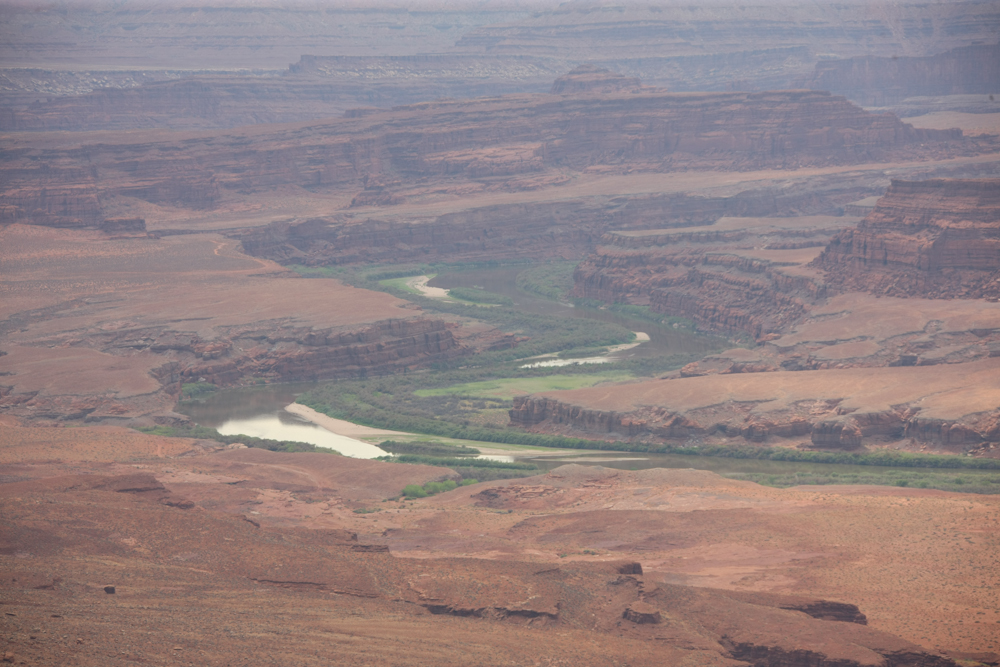
highlighted patches on the distant canyon walls. The
mighty Colorado River is in the inner canyon of the
valley. In addition to creating some of the most famous
canyons in the U.S., the Colorado River is the primary source of
water for the desert southwest.
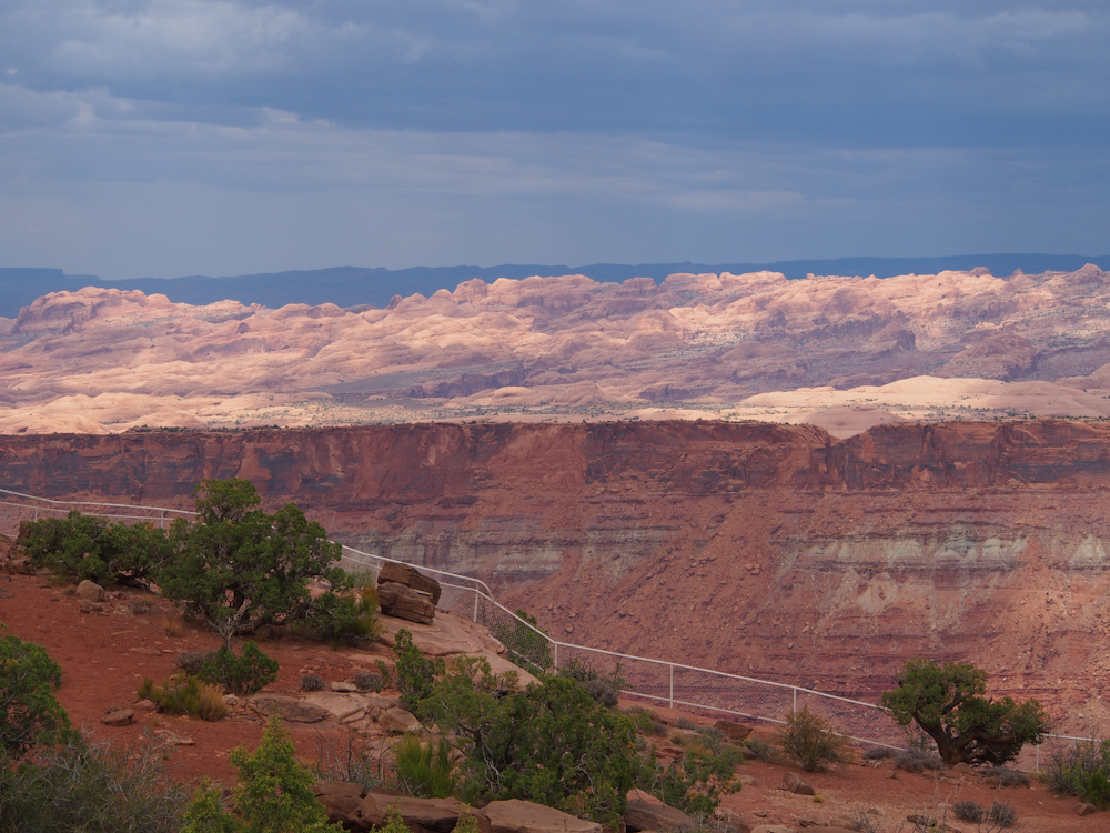
The river vally was flanked
by large cliffs and the Needles Overlook was on the lip of the
canyon providing a great view of the inner canyon.
Side creeks to the main
Colorado, usually dry, have left a labyrinth of narrow slot
canyons referred to as "the Maze".

To the south the Abajo
Mountains were capped by clouds. In the valley below, a
rain quall lashes the inner canyons with rain. These
squalls typically produce flash floods which result in the steep
canyons that are typical of this area.
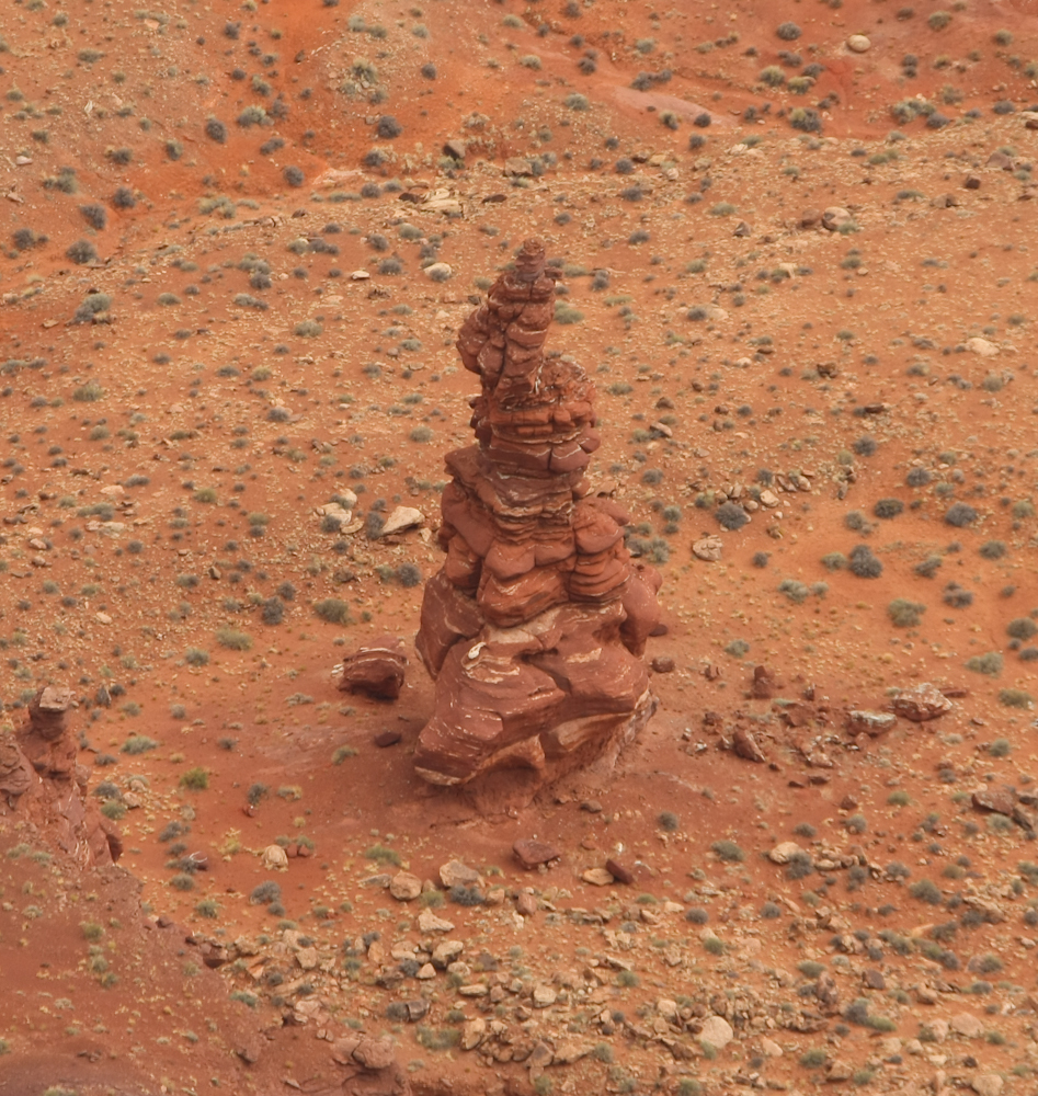
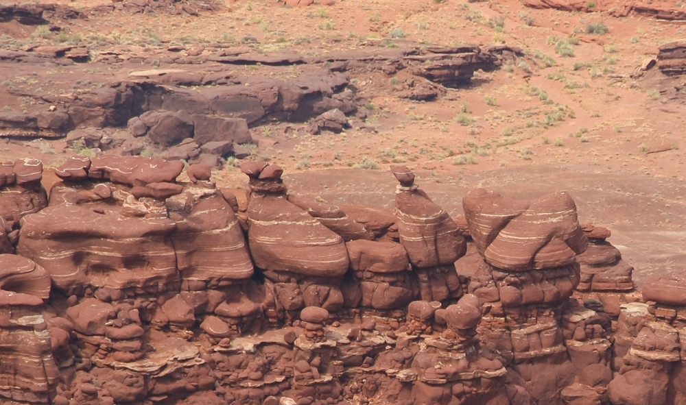
Alternating layers of hard
and soft strata produce "hoodoos" that are common to this
area. Hoodoos are isolated pillars of rock sometimes
assuming fantastical shapes. From the Needles Overlook,
this hoodoo was easily visible. The "Needles District" of
Canyonlands Park gets its name from the hoodoos that are
plentiful in the area.
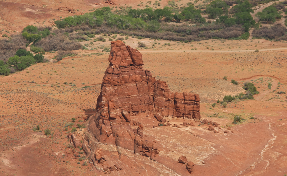
The erosion from the side
canyons of the main cliff resulted in isolated fingers of rock
many hundreds of feet in height. As these fingers are
eroded by water, wind and weather, hoodoos are produced.
To the north toward the
central area of Canyonlands Park, rain is lashing the inner
canyon.
The sheets of rain were
clearly visible. We were lucky, however, that the heavy
rain did not fall on us.
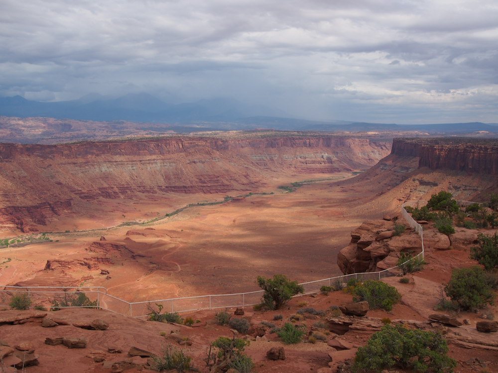
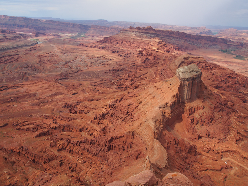
We drove another 15 miles of
dirt road to the Anticline Overlook point. This overlook
is on the southern rim of the canyon and allows visibility of
the southern facing walls of the canyon, the La Sal mountains
and the ridges of Kane Creek. Above, the sun broke through
briefly allowing patches of illumination to highlight the
formations above Kane Creek. The Moab Rim is on the far
side of this ridge and Kane Creek is in the valley below.
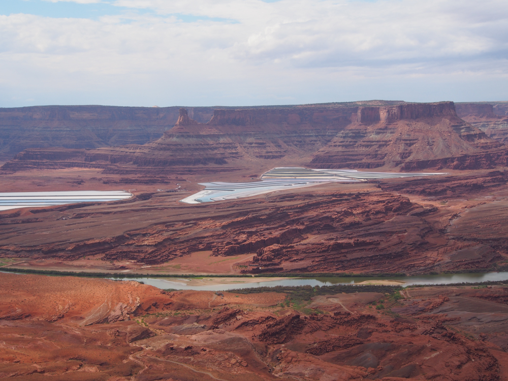
To the north we could see
the Colorado River and the potash mine that is at the base of
Dead Horse Point.
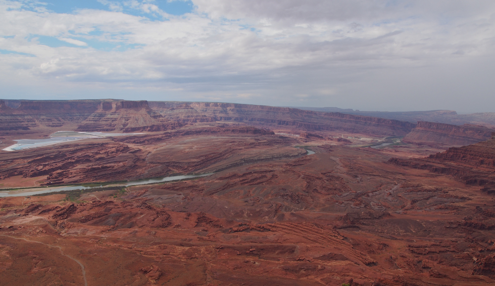
An anticline is the
geologist's term for a giant fold in the strata that produces a
"hill". Above, the curvature of the strata is clearly
visible and the impact on the resulting land forms is
apparent. The theory here is that the river held its
course while the land was uplifted allowing it to cut through
the anticline. Erosion and weathering produced the
resulting canyon that is visible today.
To the east, Kane Creek
canyon and the La Sal mountains are visible. Note the
trail in the canyon. On previous trips to Moab with my
1300L Unimog, we have traveled on that road.
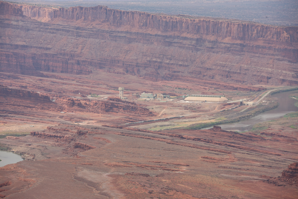
The main buildings of the
potash mine are visible in the river valley. What an
awesome place to work.
This U-shaped set of cliffs
were produced by oxbows of Kane Creek. Later, the creek
changed course and isolated this segment of rock. Erosion
and weathering produced what you see above.
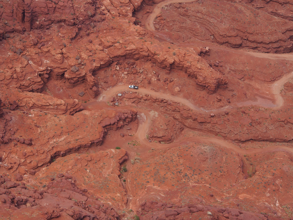
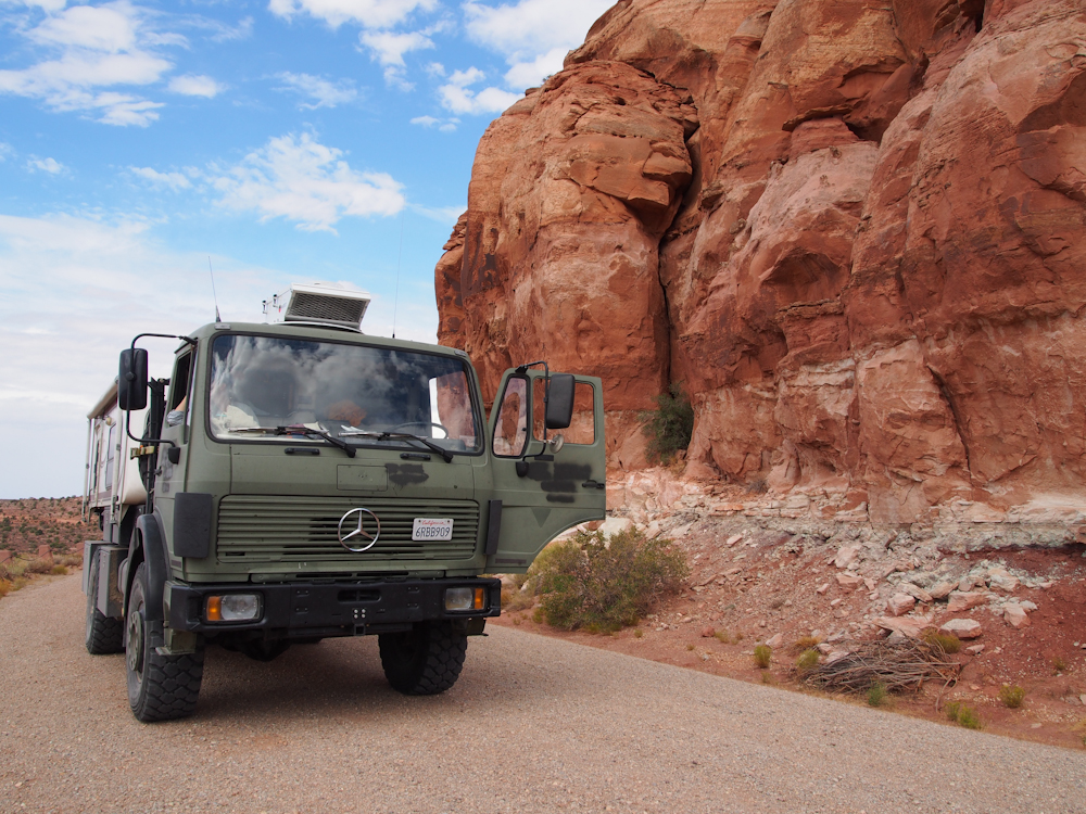
On the dirt trail far below,
a rancher makes his way into Moab. Visible in the
full-sized photo are a chest freezer and a cement mixer in the
bed of his truck. He was traveling very, very slowly due
to the rutted road, but the noise of his cargo banging around in
the bed was annoying, even several thousand feet above him.
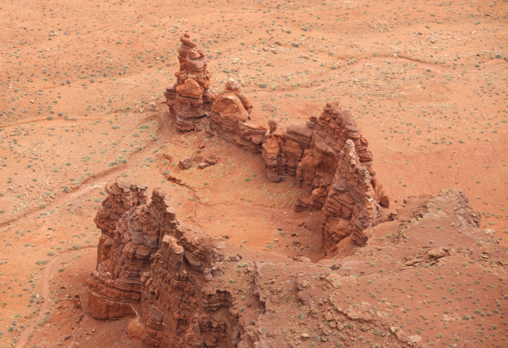
The ridge between Kane Creek
and the Colorado River produced some interesting formations.
Nice hoodoos were visible on
one of the ridges. Note the rock that looks like a vulture
with a white collar.
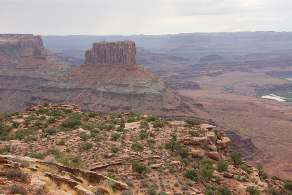
We traveled south to a
"minor" overlook to see more of the canyon.
From the minor overlook, the
inner canyon of the river was visible with its river-side brush.
Thor enjoyed the view from
the minor overlook as well.
| Previous Adventure | ||
Photos and Text
Copyright Bill Caid 2012, all rights reserved.
For your enjoyment only, not for commercial use.