We
left our remote camp in the forests of the Mogollon Rim and headed into
the small town of Show Low, AZ for chow, supplies and fuel. From
Show Low, we headed toward Springerville, AZ and the east to the New
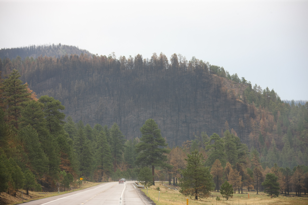
Mexico boarder. The border area was hit by a large (500,000 acre)
forest fire and we were not sure what we would see there. But, damn the
torpedoes, full speed ahead.
The photos below are what we saw.
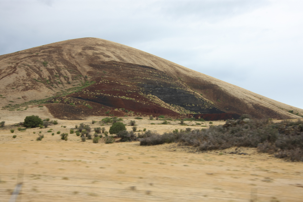
From
our route east toward New Mexico we spotted a mine for vocanic lava
used as landscaping and in your BBQ.
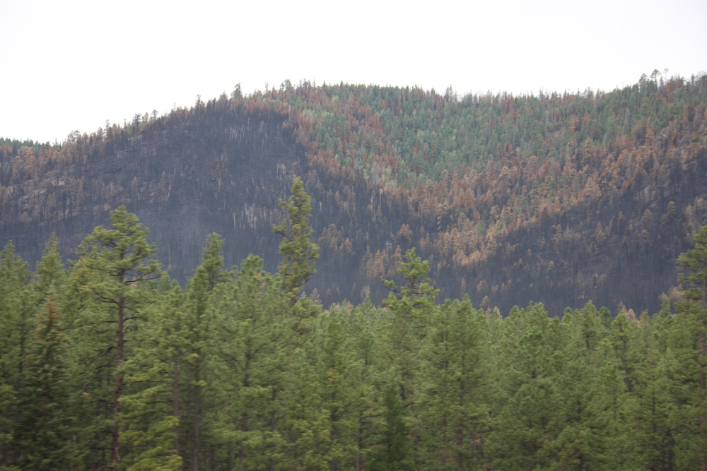
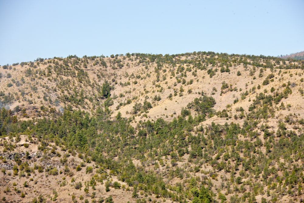
Above,
the spotty nature of the crowning can be seen.
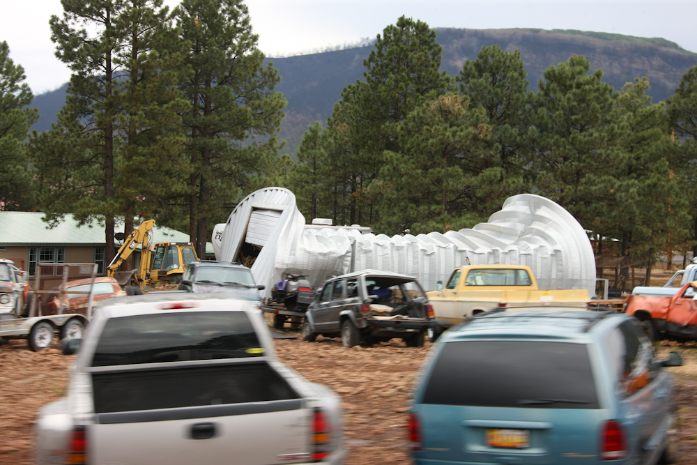
Near
the highway we passed this structure that was collapsed. I assume
it was due to the weight of snow since there is no other really easy
explanation. We didn't stop to check.
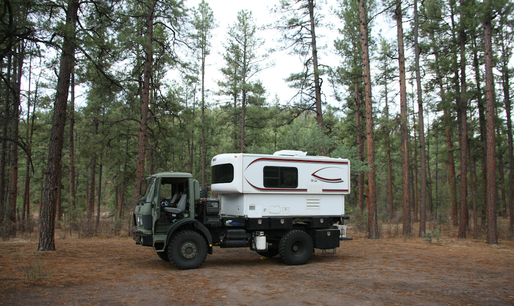
We
did another remote camp on a side trail of the main road. We
traveled in several miles before an adequately flat location presented
itself.
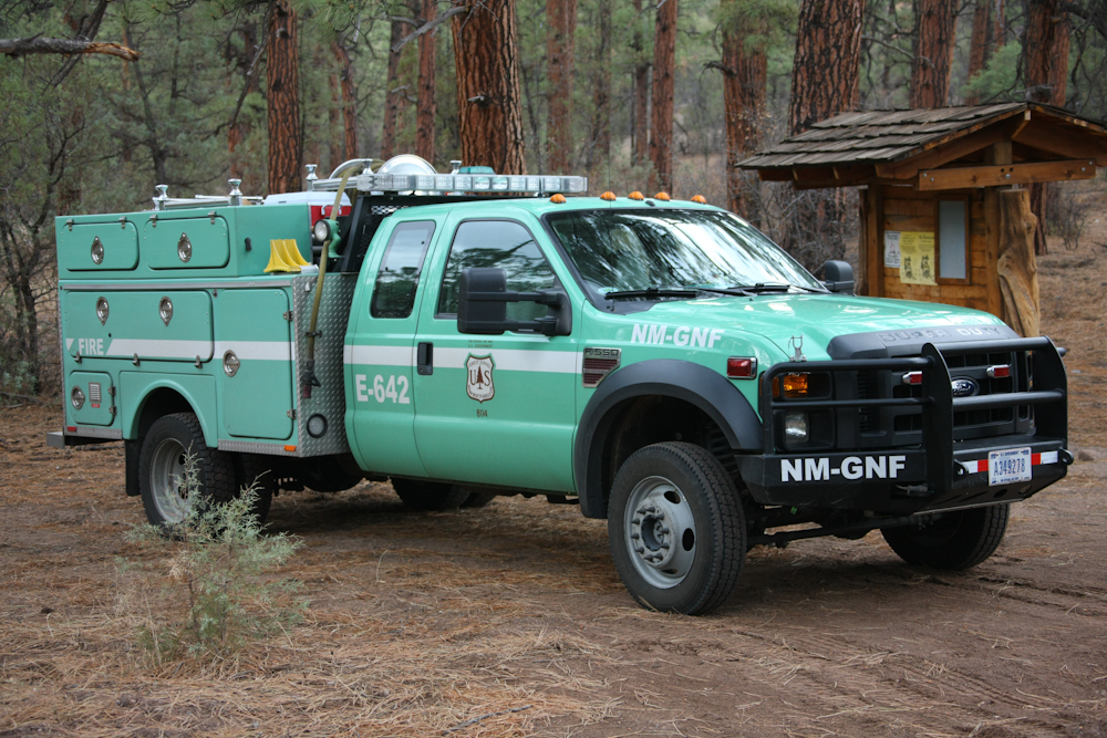
I
had seen no "closure" signs, and when this fire rig showed up while we
were setting up camp, I was curious. So, I walked the 100 meters
to their location to ask "what's up". They stated that they had a
report of smoke north of our position and needed to hike in and check
it out. They stated that there was no reason to be concerned
(yeah, right) and off they went. They left by 2100 that night but
were back the next morning.
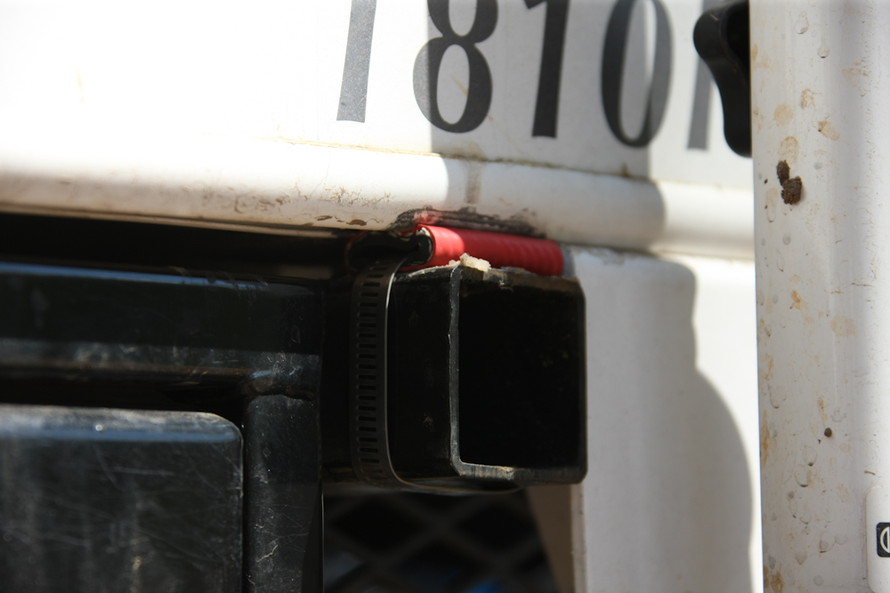
Our
dirt road travel dislodged a rubber snubber on one corner of the
camper, so we came up with an expedient fix. Robust rubber heater
hose and a hose clamp should do the job until we can come up with a
better solution.
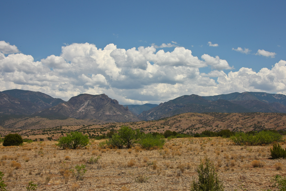
We
headed south and east on the flank of the Mogollon Mountains. The
distant peaks are over 10,000 feet in height. As you can see
above, the thunderheads are building (as they always do in the
afternoons this time of year) and they would produce heavy rain later
in the day.
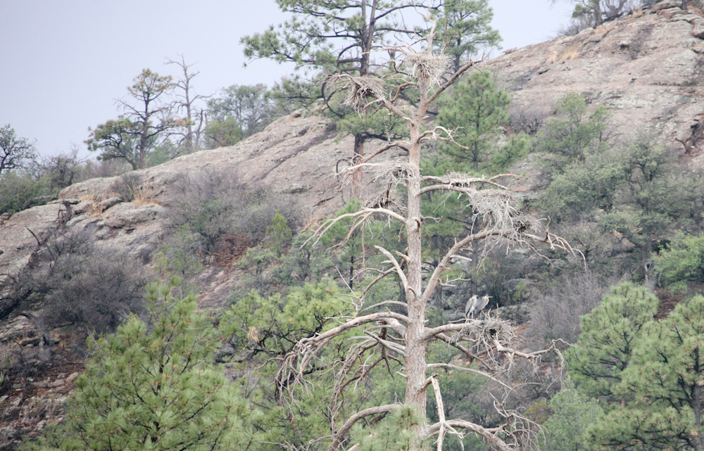
We
camped at the Gila Hot Springs and the host there pointed out a tree to
the west of our position that had been killed by large nesting
birds. I think he said that these are herons, perhaps Blue
Herons. It was near sundown, but we were able to view a pair of
the nesting birds from the camp.
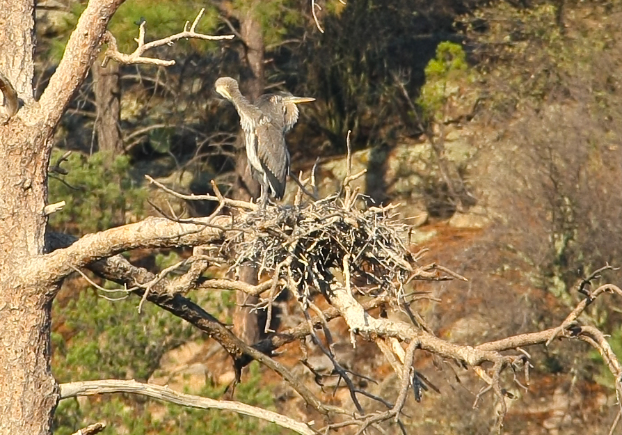
Next
morning when the sun was brighter, we got a better view of the birds.
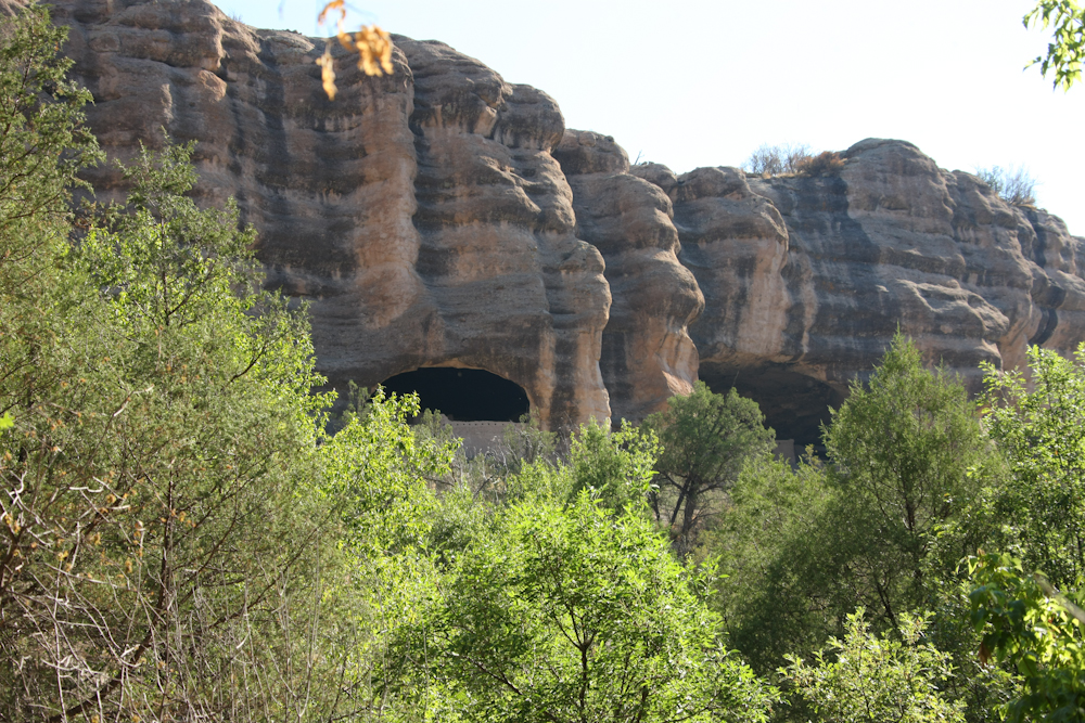
We
broke camp at the hot springs and headed to the Gila Cliff Dwellings
N.M. for a tour. There was a mile+ hike to get to the sight and
the photo above was our first view of the caves.
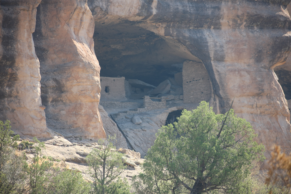
Shooting
photos into the sun always produces haze in the photo, but the sun
worked against us.
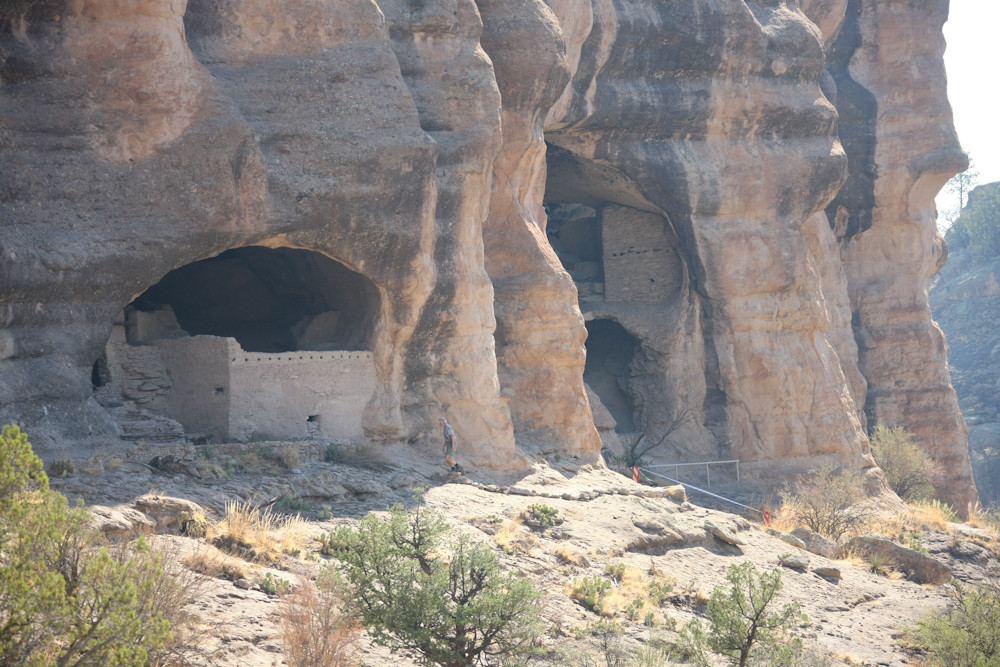
The
volunteer docent is visible above.
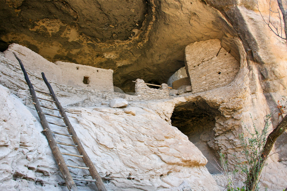
The
ruins were better preserved than most, but it has been many hundreds of
years since they were occupied (last known: mid 1200s).
The
Park Service has rebuilt some of the walls. The lower walls are
original, the upper left wall is new.
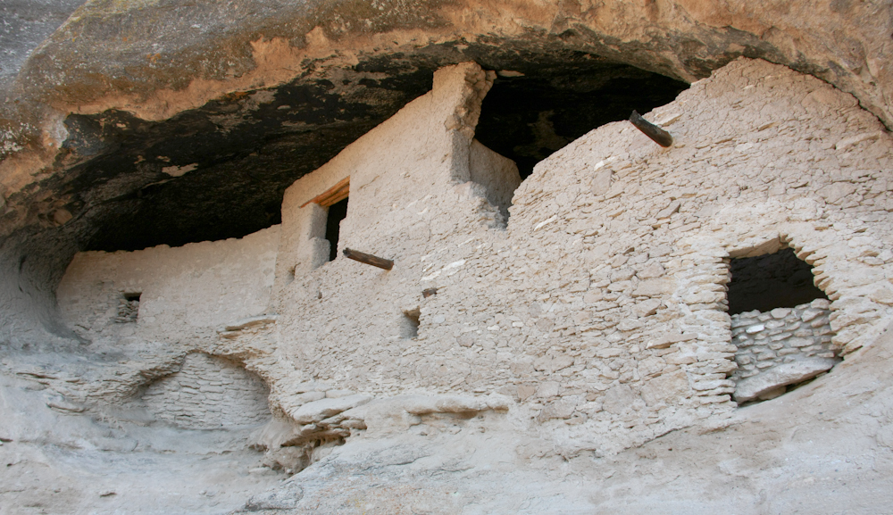
They
constructed their dwellings in the shelter of the cliff alcoves.
Logs
were used to provide the strength for the roof.
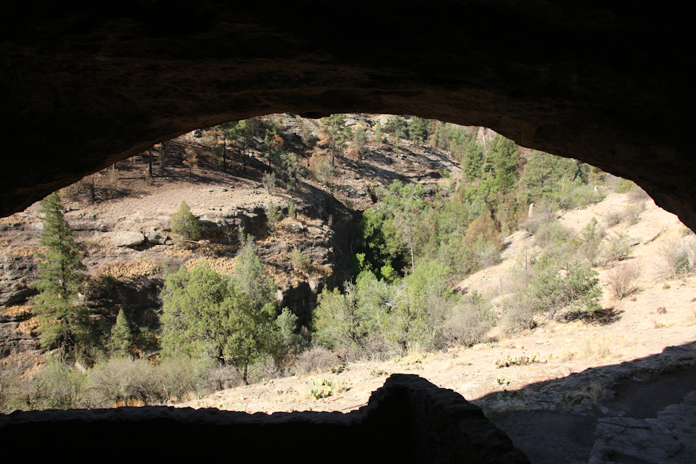
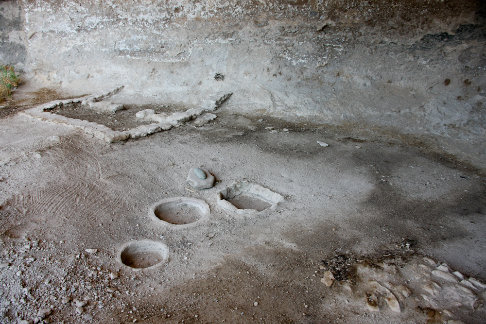
A
view of the canyon from the "living room".
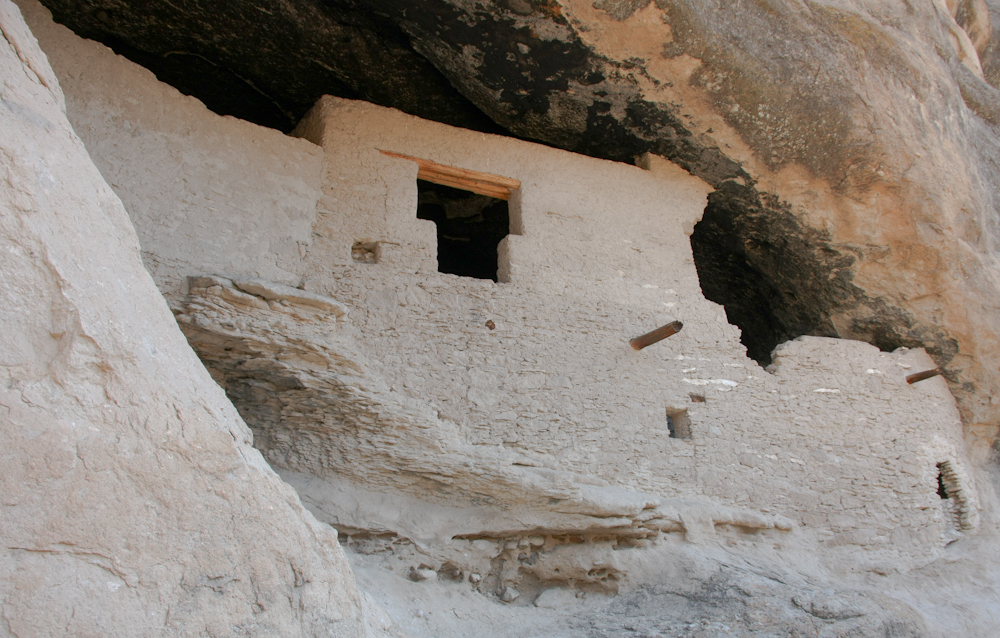
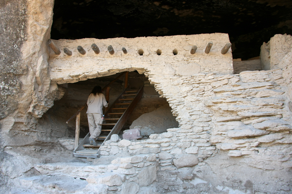
The
stairs were part of the original site.
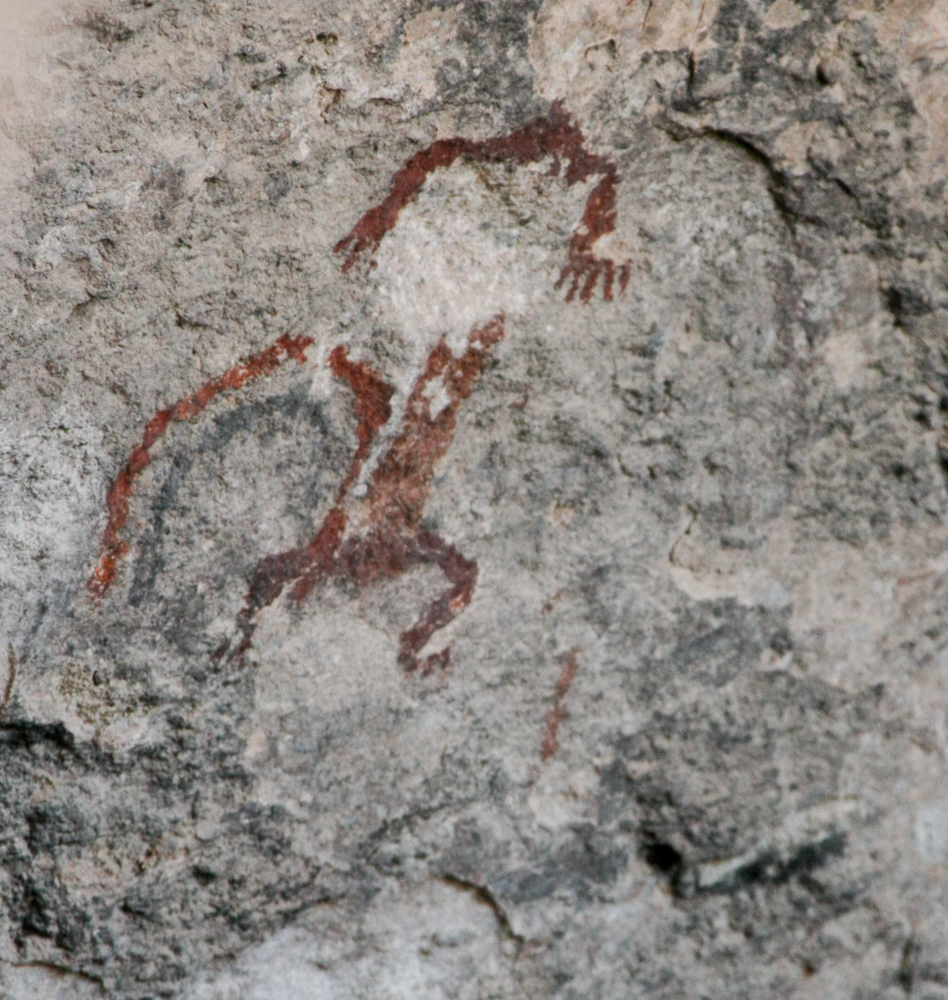
There
were a few pictographs on the walls.
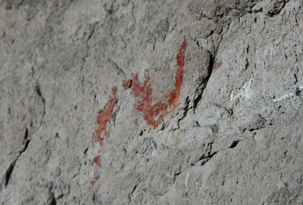
A
snake pictograph.
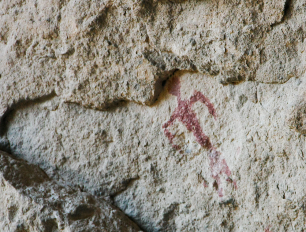
Another
pictograph, likely a man or shaman.
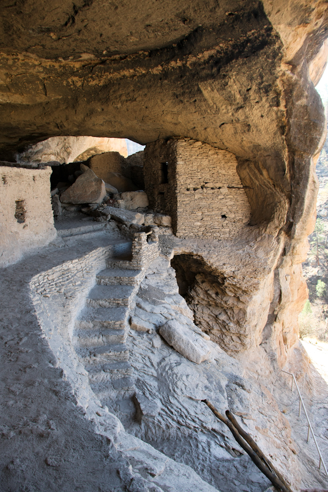
One
of the better views of the site.
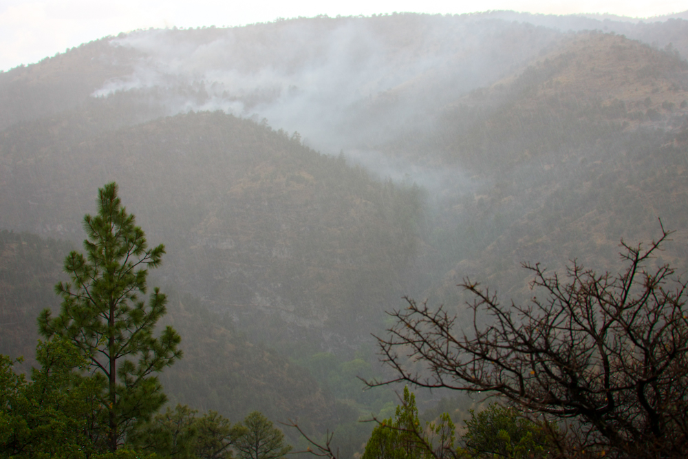
There
is only one way in and out of the ruins and we ended up traveling up
the steep ridge to the south. Above, you can see the faint smoke
left from the fire the day before. The rain helped put most of
the fire out.
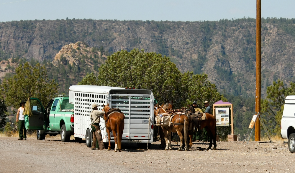
Taking
no chances, the Forest Service is sending a crew in by horseback to
fully contain the fire. The animal with the packs is the mule
which is used to carry the equipment.
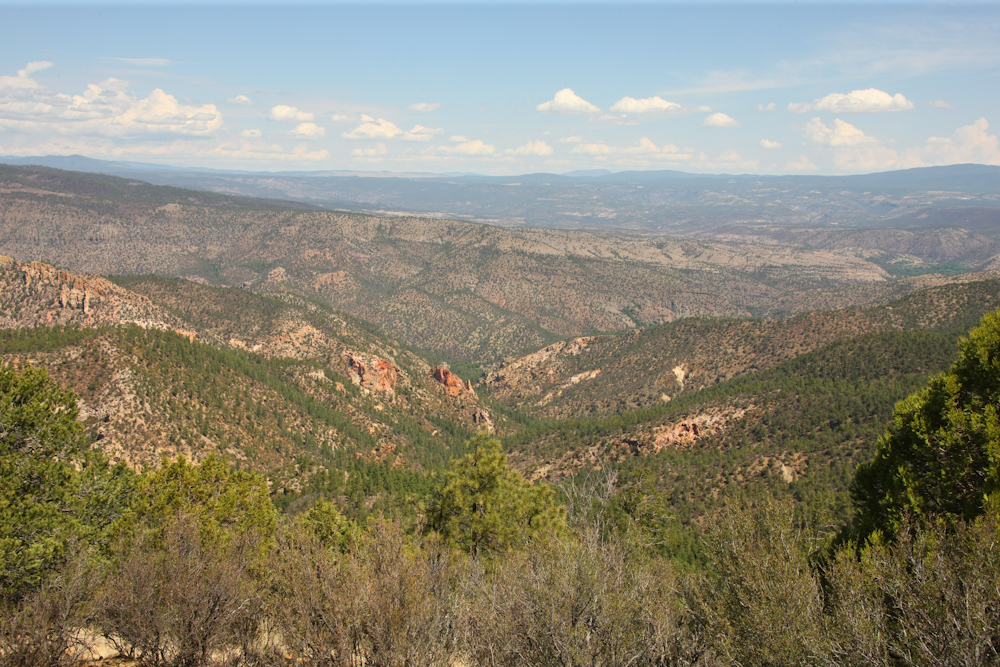
From
the ridge, we got a great view of the Gila Range to our north.
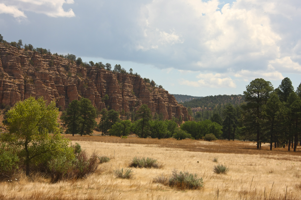
We
continued south, then east through Sapillo, NM where we encountered
some nice bedded cliffs.
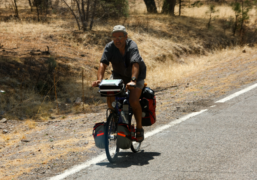
Enroute
to Mimbres, NM we encountered this biker on an extended road
trip. He smiled when he saw the 1017, but was busy chugging up
the steep hill.
| Previous Adventure | ||
| Trip Home Page |
Photos and Text Copyright Bill Caid 2011, all rights
reserved.
For your enjoyment only, not for commercial use.