The
photos
below are what we saw.
Our
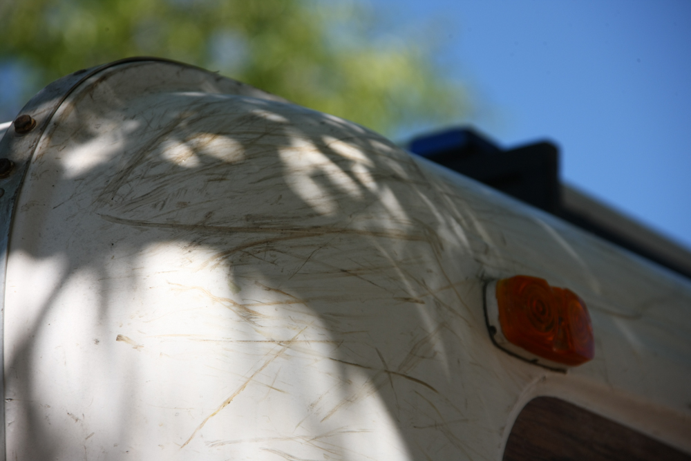
earlier attempts to cross the Sangre de Christo range involved some
narrow trails with plenty of overhanging tree limbs. The photo
above shows that the limbs did not go lightly. There was no
damage to the camper or the solar panels because we were very careful,
but each branch still left its mark.
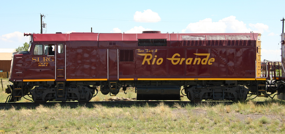
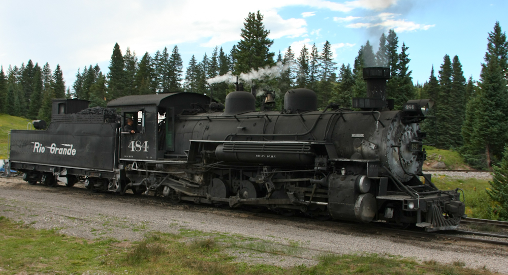
As
we headed through Antonito, NM, we spotted the tourist train that takes
folks over to Chama. Or USED to take folks to Chama. We
heard from the locals that there was a suspicious fire at one of the
train trestles that has taken a section of the track out of commission.
The SLRG runs both diesel and steam trains and we would see one of the
steam engines in action at the crest of the pass.
We
plotted a back-road route to the train station at Osier, NM. Our
route took us over many miles of dirt roads and we seveal several wrong
turns until we were on the correct route. Above, you can see the
route of the Toltec and Cumbres Railroad and the Osier station.
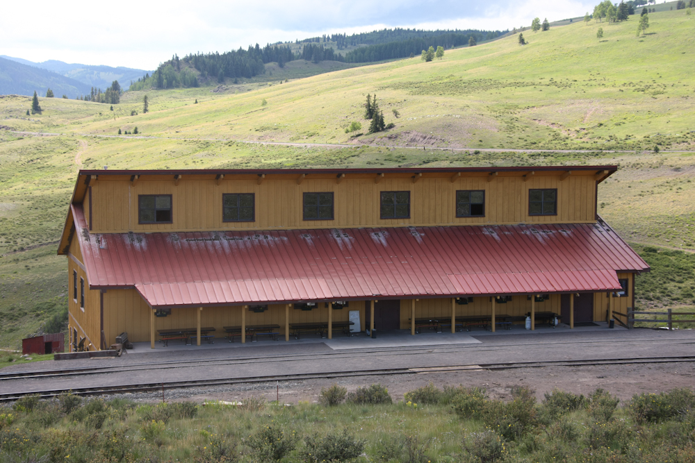
Osier
station is a pretty substantial building. They feed hundreds of
tourists at a time in this building. We took this tour several
years ago from Chama and had a great time (except for the heavy rain).
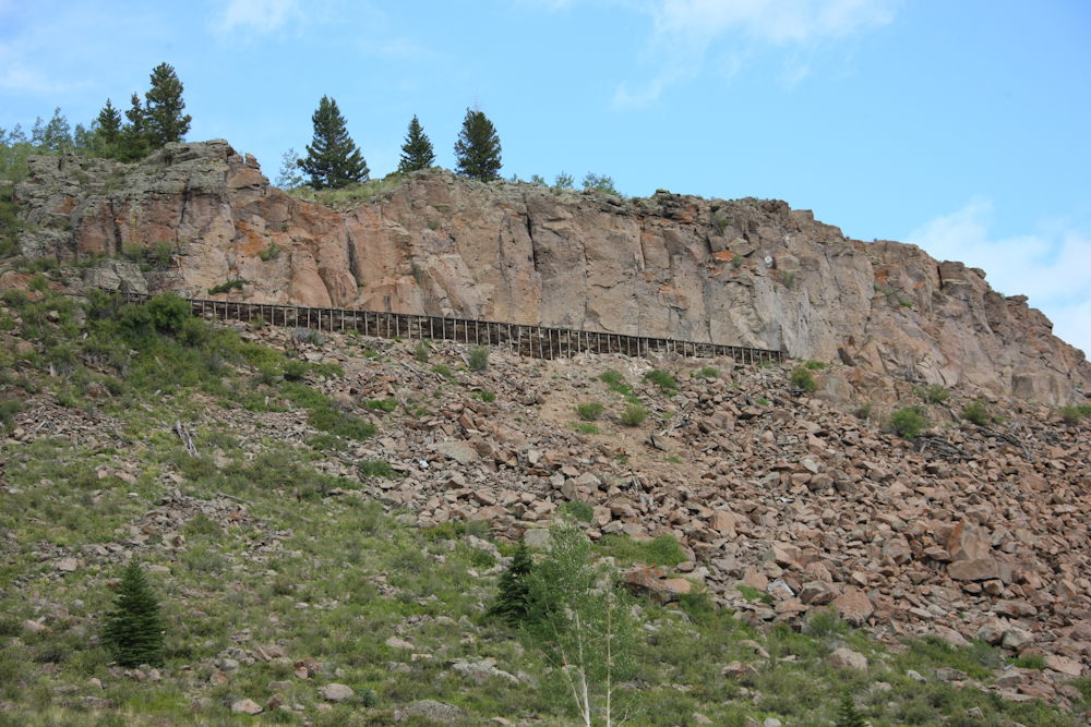
We
headed south from Osier and the trail got gnarly quickly. Along
the way, we could see the tracks above us built into the side of the
cliff.
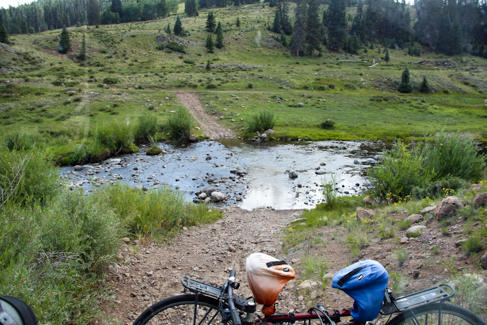
Soon
out of Osier, we had to do a water crossing on the trail. The mog
had no issues, but since we were by ourselves, I always think about
what the recovery method would be if we got stuck.
From
the far ridge, we could see the Osier station complex.
We
traveled many miles of not-so-good dirt roads and finally hit the route
that took us back to the blacktop. We crossed Cumbres pass on our
way to Taos and we encountered the steam engine from Chama.
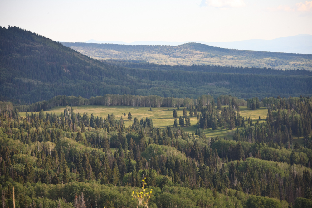
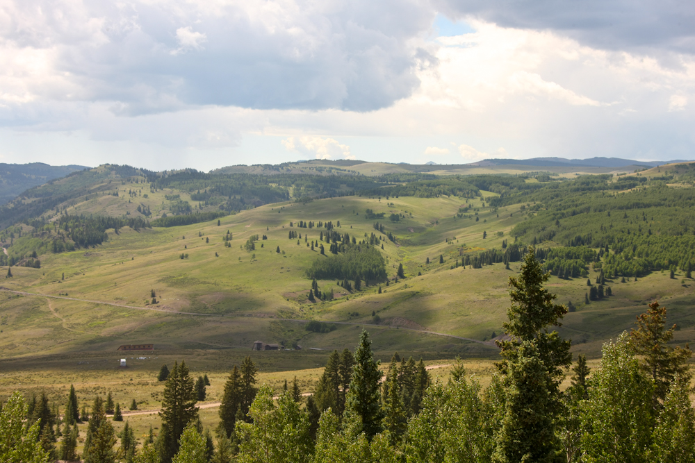
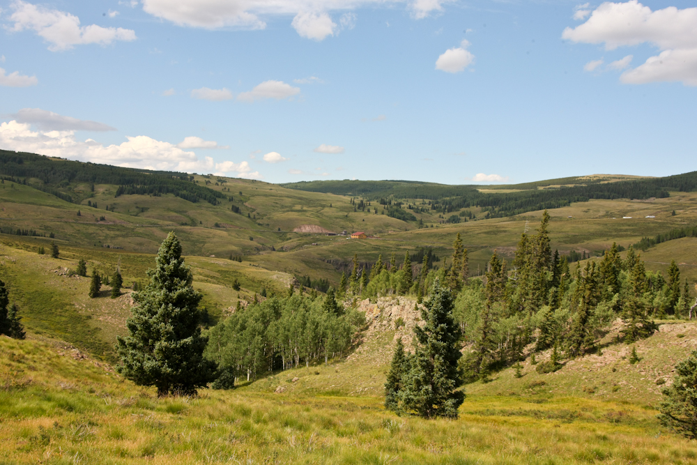
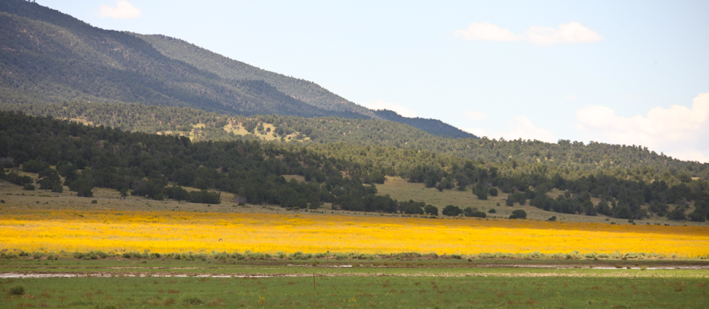
On
our way to Taos, NM we had to cross yet another 10,000 foot pass. From
a pull-out on the top, we had awesome views of the terrain below
us. Above, you can see magnificent meadows that must support a
substantial population of both cattle and elk.
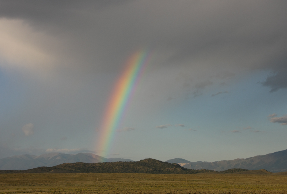
Near
Taos, we encountered a brief thunderstorm that left a nice rainbow in
its wake.
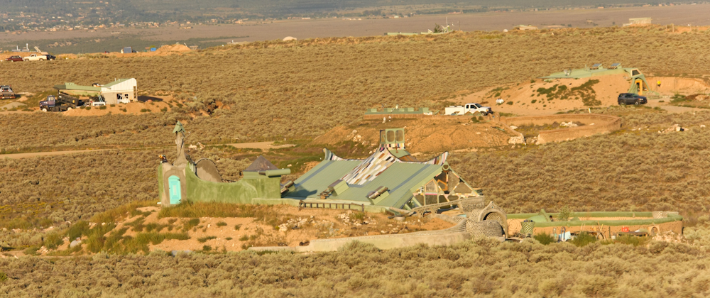
Closer
to Taos, we encountered these "artist dwellings". Some of these
were pretty odd.
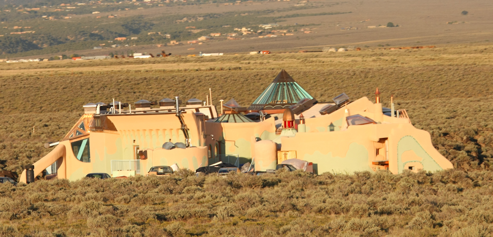
This
one looks like it is out of Star Wars. I think that Jabba the
Hutt lives here.
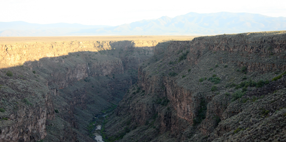
The
route into Taos crossed the Rio Grande gorge. The bridge provided
a great view of the gorge. The Rio Grande is quite wide, so the
river is a long, long way below the lip of the canyon.
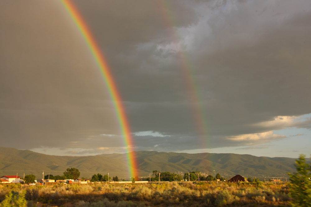
The
rain started and stopped again producing a double rainbow.

We
spent the night in Taos at Casa Benevides, our favorite bed and
breakfast in the area. Next morning, we headed toward Questa and
Red River. We crossed the Sangre de Christo range again, this
time west-to-east. Then we headed south and stayed at Coyote
Creek State Park on the east side of the range. From there, we
continued south, and we passed this alpaca sitting next to a huge
field of wild flowers.
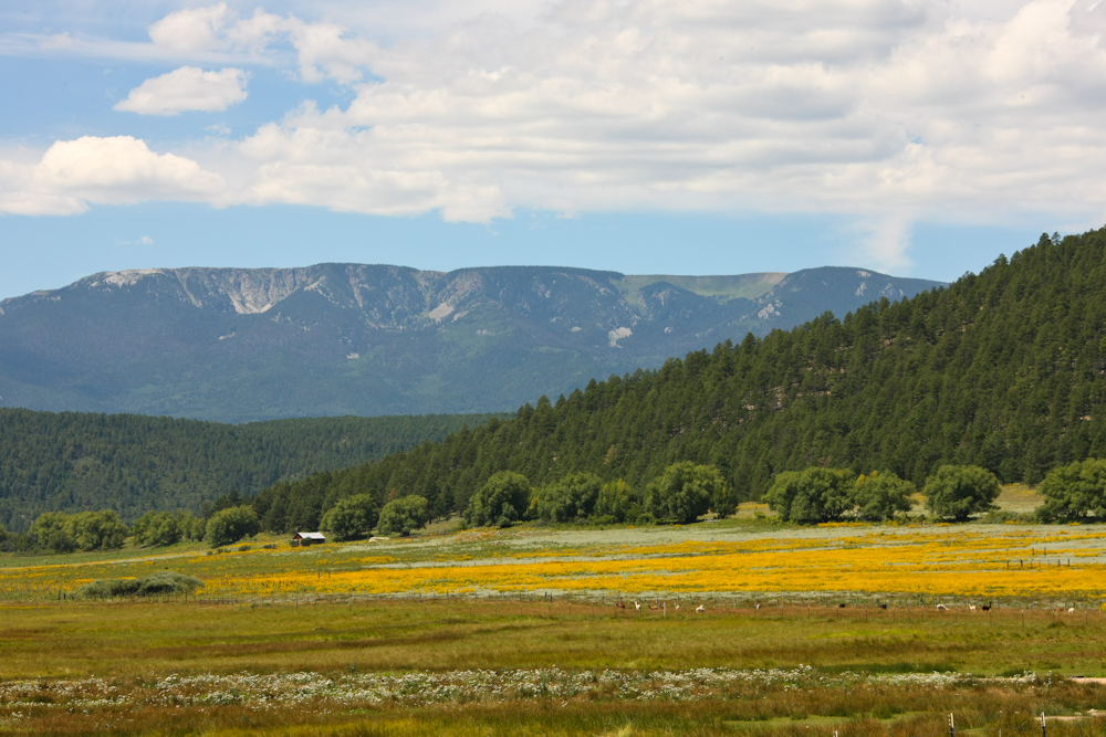
Our
path took us past Mora, NM and we could see the spine of the Sangre de
Christo range with flower-covered fields at its base.
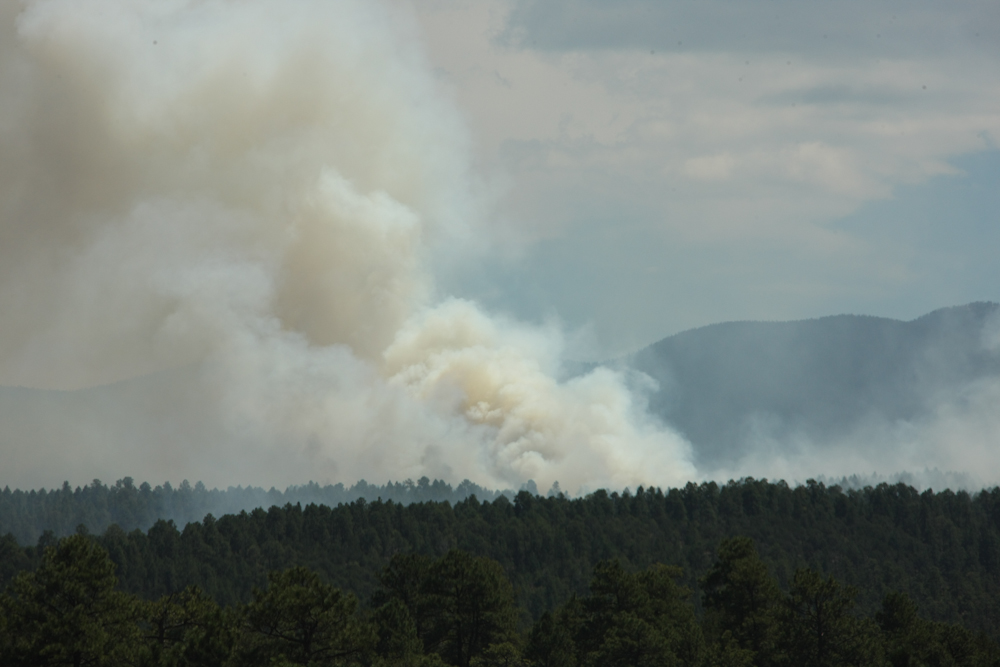
We
crossed the Sangre again from Mora, this time from east-to-west.
From there, we headed south toward Chimayo. Along the way, we
passed a controlled burn in the hills above the highway.
From
Chimayo, we could see the badlands to the north of the highway.
Note the "dirt" cliffs in the distance.
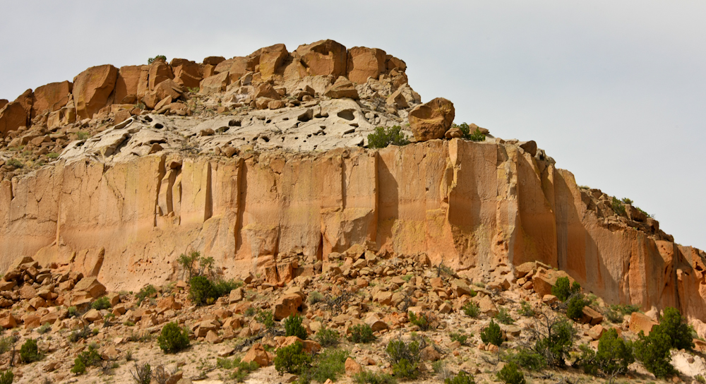
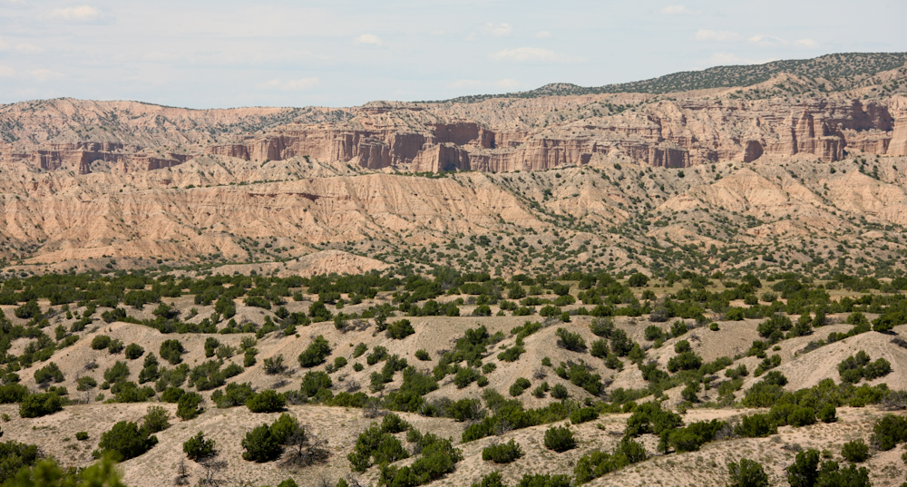
From
Chimayo, we headed to Los Alamos to see our mogger friends Patrick and
Jaime. On the way, we got great views of the sandstone cliffs on
the approach to Los Alamos mesa.
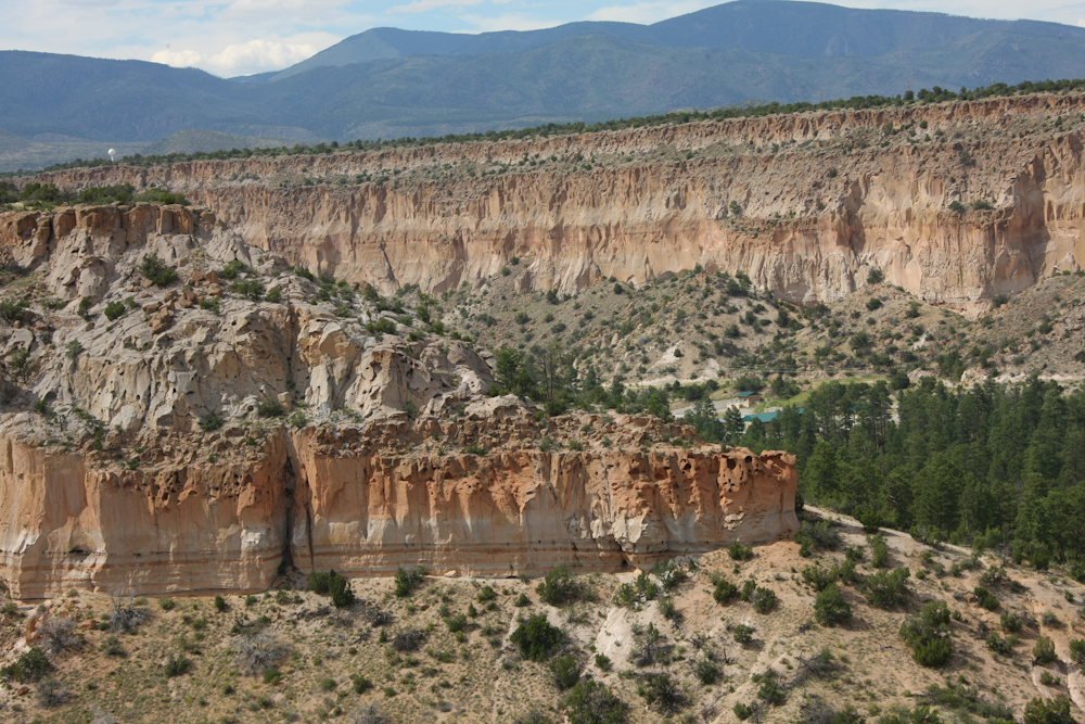
The
cliffs on the edge of Los Alamos mesa are daunting.
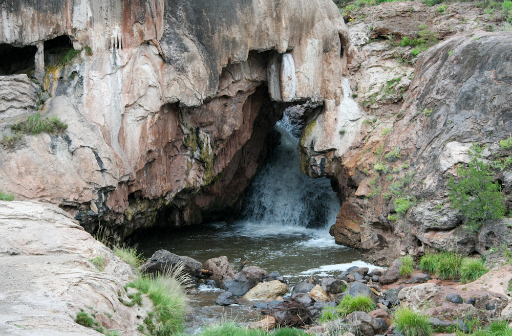
After
a very pleasant evening in Los Alamos, we departed to the west over the
Jemez range. As we descended through Jemez Canyon, we passed Soda
Falls. The river passes an odd rock formation creating an
interesting waterfall.
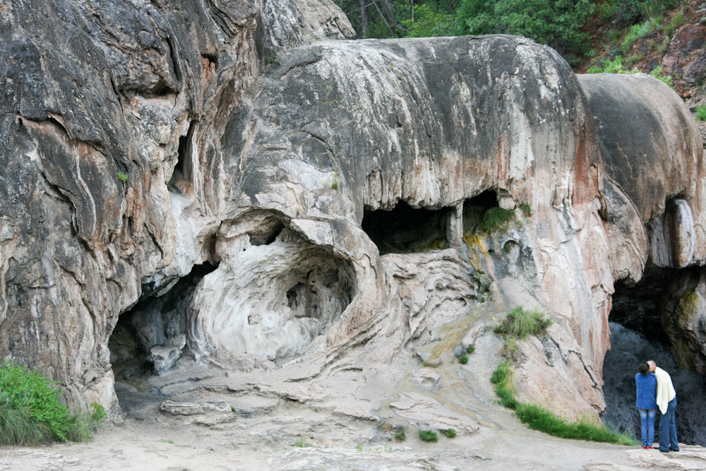
I
was photographing the rock formation and unintentionally caught this
couple smooching near the falls. Note the odd patterns in the
rock which are indicative of cooling lava.
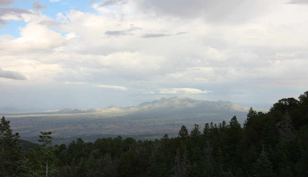
We
left the Jemez range and headed south toward the Sandia mountain range
and a meeting with the Albuquerque moggers. As we passed the
crest of the Sandia range, we got this great view of the mountains to
the east.
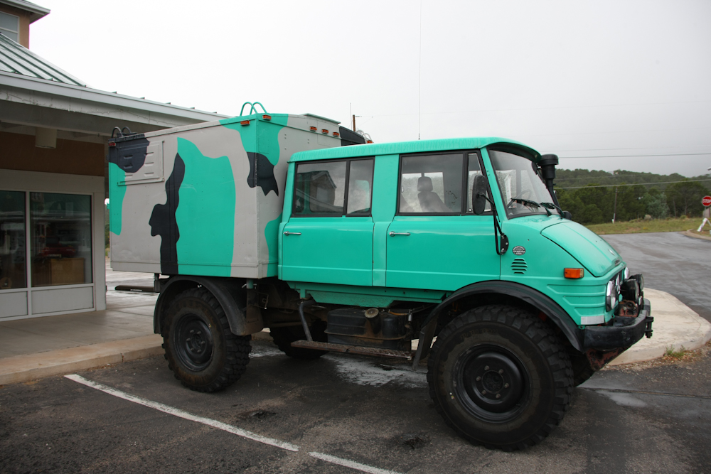
We
met the local moggers at a BBQ restaurant for chow. Above is Brad
and Laura's 416 DOKA with modified radio box.
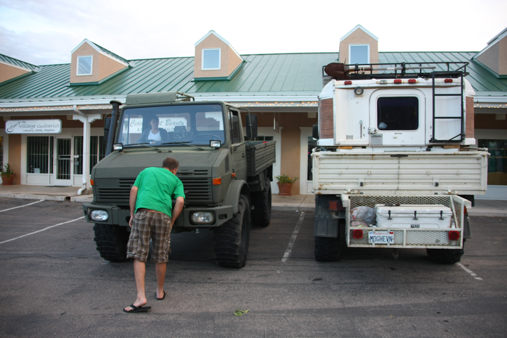
Our
1300L with Alaskan camper next to KC's ex-military 1300L.
After
dinner we headed to a fire station that was close by where we saw a
1550 DOKA that was in the process of being fully restored.
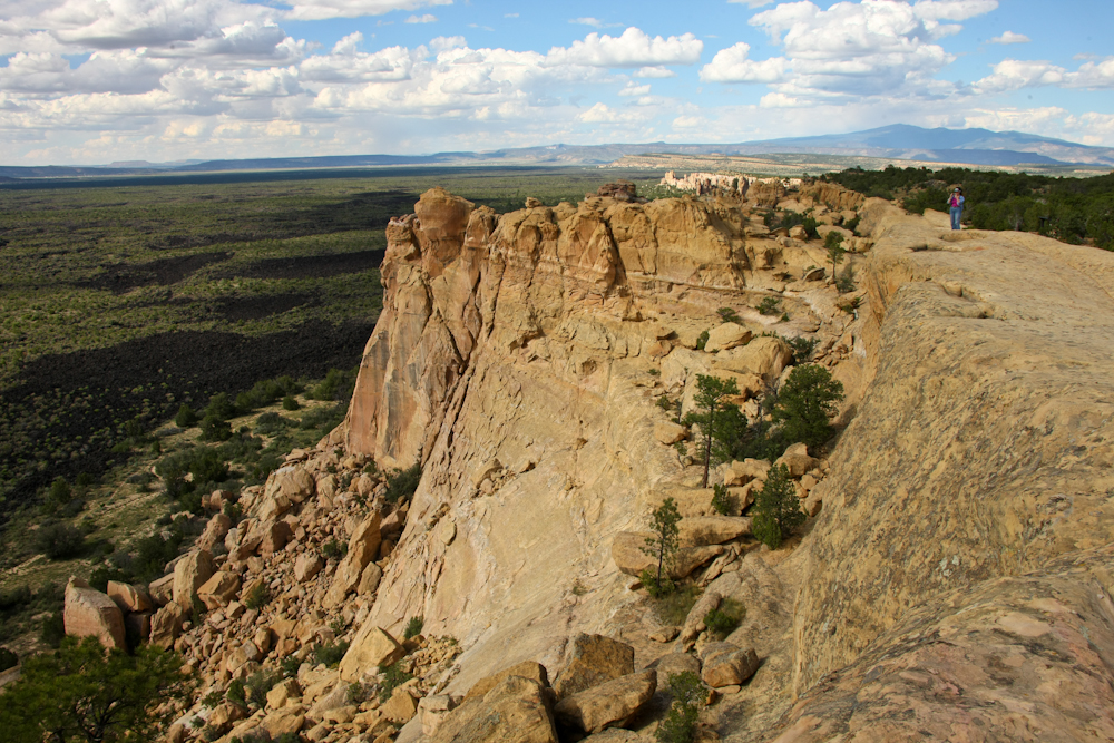
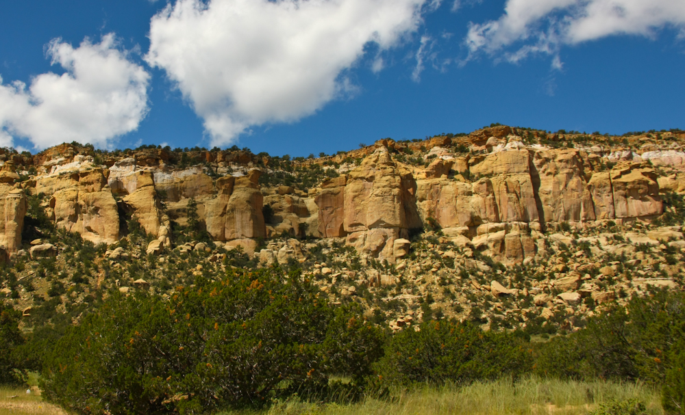
From
Albuquerque, we headed west on I-40, then south into the open
desert. We passed an overlook that provided a great view of the
distant terrain. From the top of the sandstone escarpment we
could see the broad lava flows on the plain below. This area is
called the Mal Pais which translated literally means "bad lands".
There were a chain of volcanic craters that coated this area with
several layers of lava. The lava can be seen in the far left of
the photo above. Some of the flows are as recent as 3,000 years
ago.
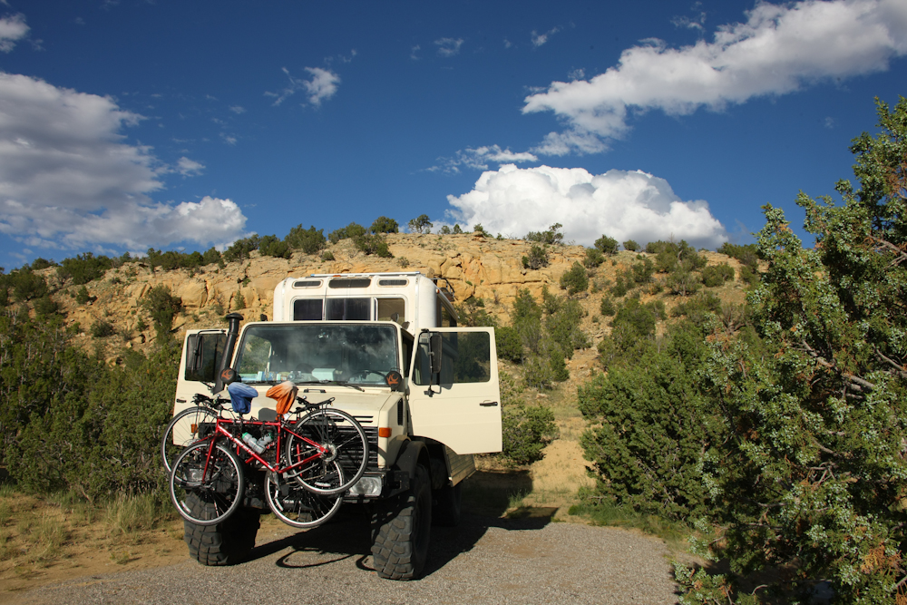
The
Mal Pais area had a BLM campground down the road a few miles, so we
went to check it out. We found it acceptable and camped near a
cliff is the sandstone.
It
was a pleasant, if unremarkable, night and next morning, we headed
south toward central New Mexico. Along the way we passed La
Ventana natural arch. The arch was formed from the sandstone that
was common in the area.
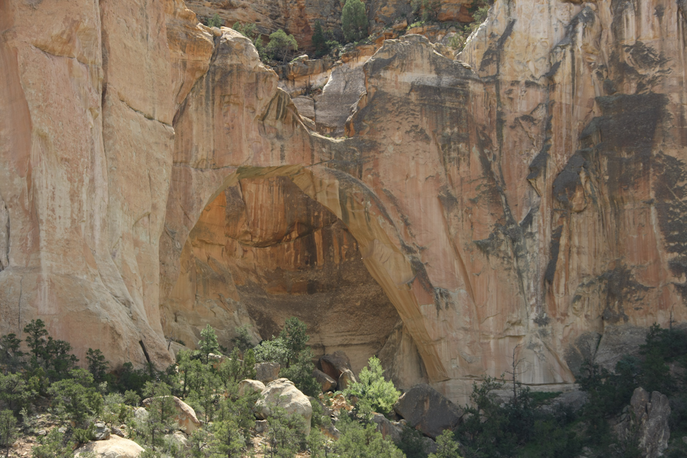
The
lighting for the shot above was not optimum, but the arch was quite big
and is visible in the center of the photo.
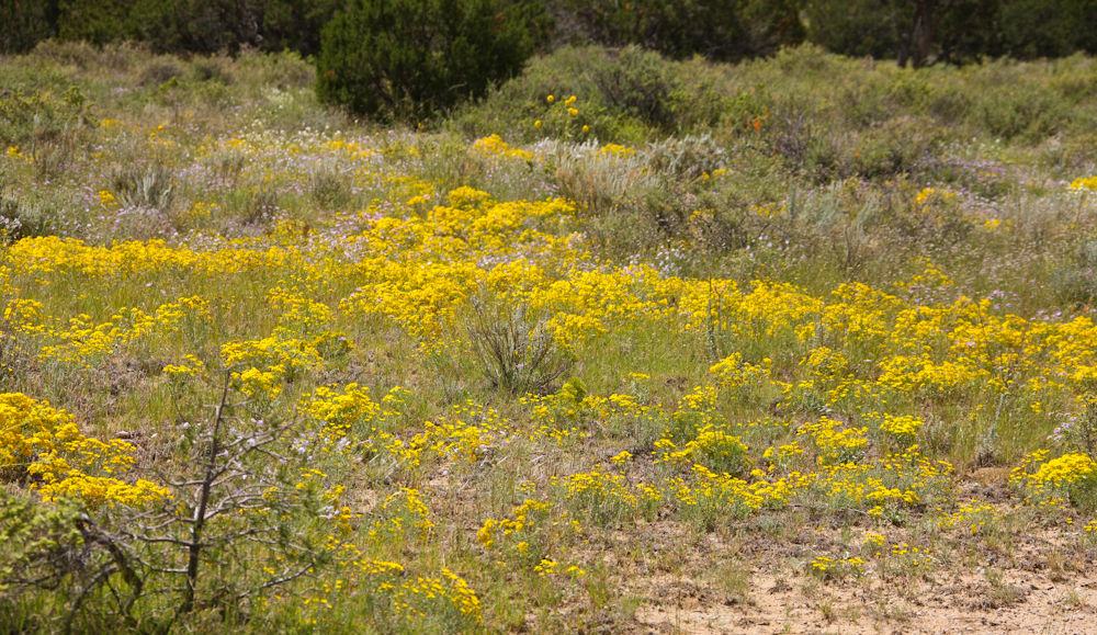
The
ground near the arch was covered in bright wild flowers, indicative of
the recent rains in the area.
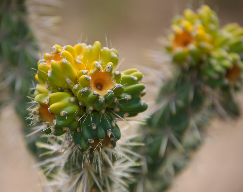
We
spotted odd-colored cholla in the area that seemed like it was
attempting to bloom. But, the blooms come from pods, not
yellow-colored stalks so I don't know exactly what was going on.
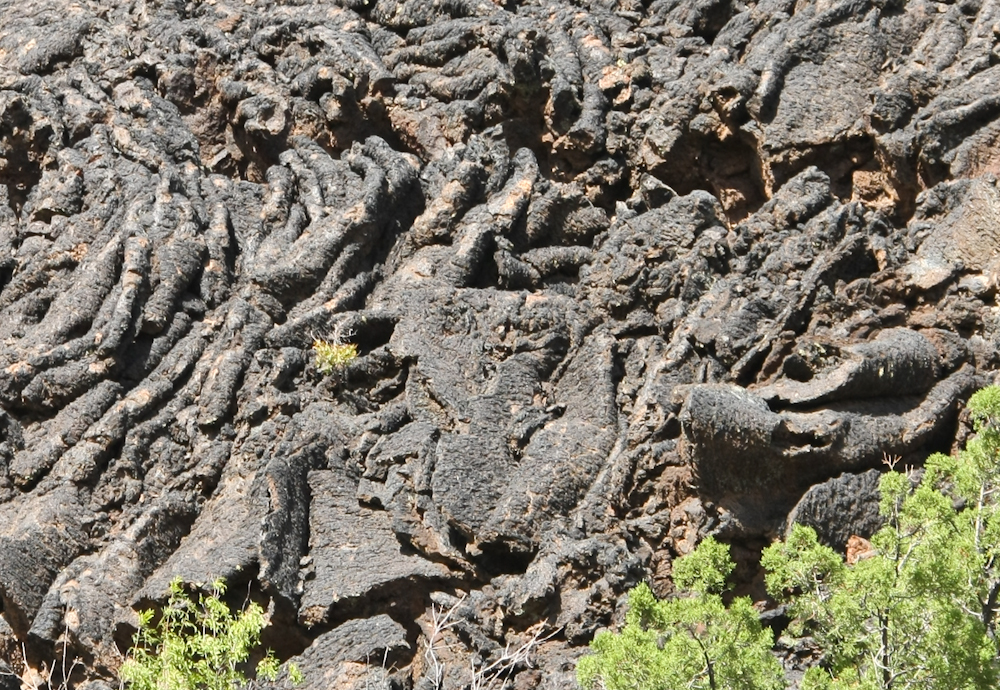
On
our path south, we passed a turnout for Lava Falls, so we went to check
it out. At that side we saw what was called "ropey pahoehoe" lava
formations. The shape of the surface lava is due to continued
movement of the lava mass as the surface was solidifying. Interesting
to look at, but tough, if not impossible, to walk on thus the name Mal
Pais.
Across
west-central New Mexico we saw huge swaths of land covered with wild
flowers.
| Previous Adventure | ||
Photos
and Text Copyright Bill Caid 2010, all rights reserved.
For your enjoyment only, not for commercial use.