We traveled east from Chapel Hill toward the Atlantic Ocean. Our objective was to go to the barrier islands, but it would take a few ferry rides to get there.
The photos below are what we saw.
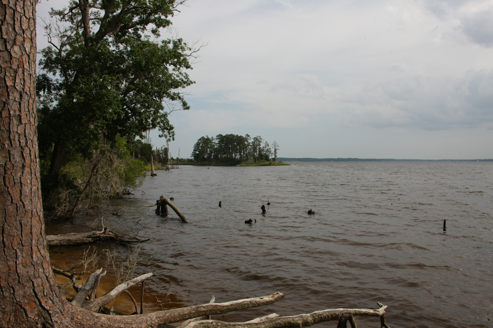
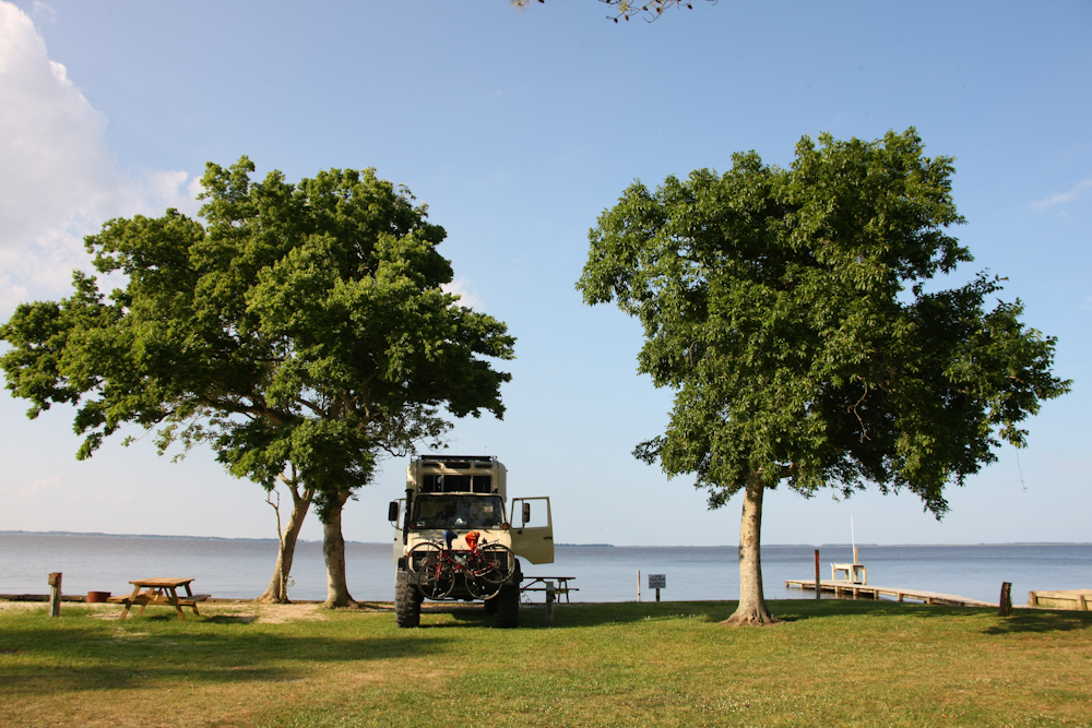
Our first stop was a NC state park at Goose Creek. Goose Creek empties into the Pamlico River and from there into Pamlico Sound.
From
the state park at Goose Creek, we headed toward a ferry crossing. To
get to the outer banks, we would have to take 2 ferries. Across
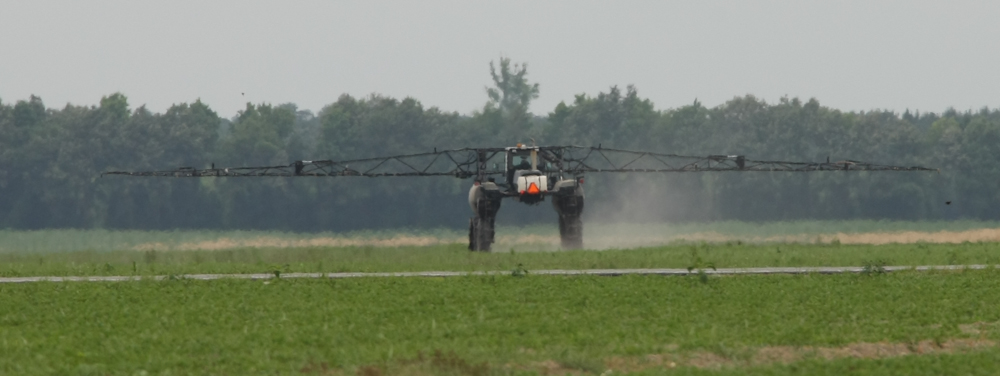
from the ferry station, there was a large machine spraying crops.
The apparatus looked like some kind of aircraft
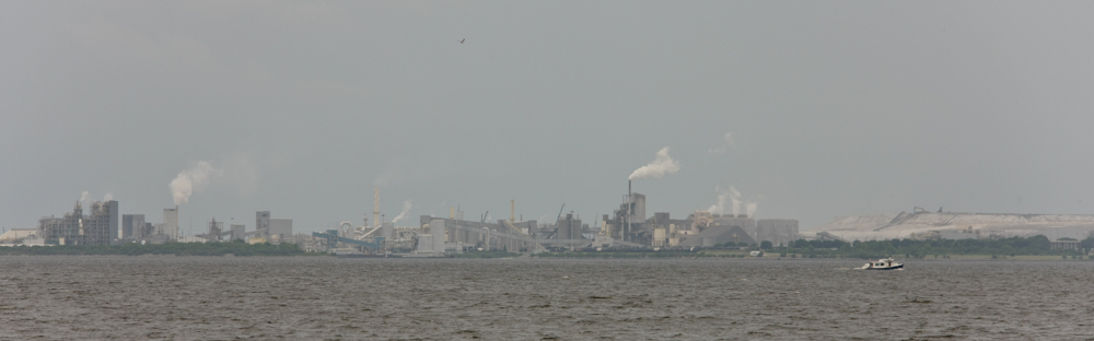
Across the Pamlico River from the ferry station was a large mine and mill. The plant produces phosphorus products.
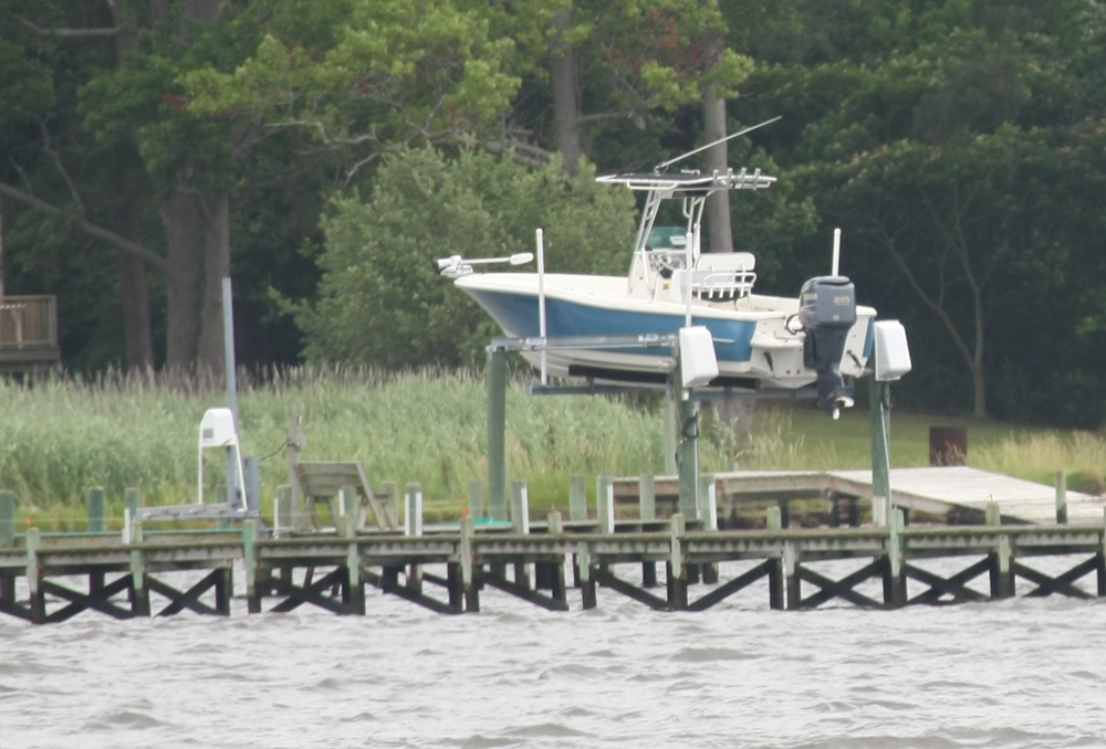
Many
folks that have private anchorages on the sound have the ability to
lift their boats out of the water. This one was somewhat unusual
in that the boat was perhaps 10 feet in the air.
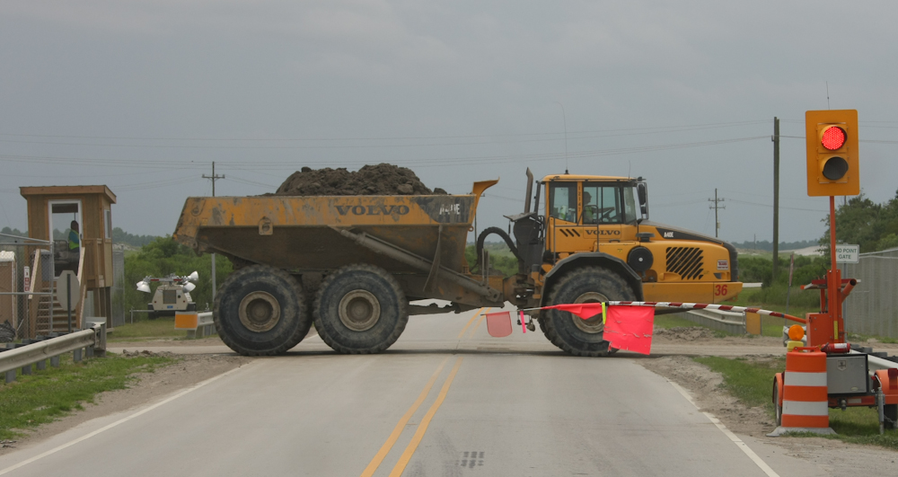
On
the far side of the first ferry, we encountered the mine that provides
the materials for the phosphorus plant. To transport material to
the plant, the company runs a whole fleet of these large earth mover
trucks. The trucks had to cross the main highway to get to the
plant. So, the company has a controlled intersection to allow the
trucks to cross. The trucks have crossing priority, of
course. Above, one of these fully-loaded beasts passes us on the
way to the dump area.
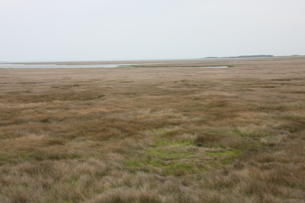
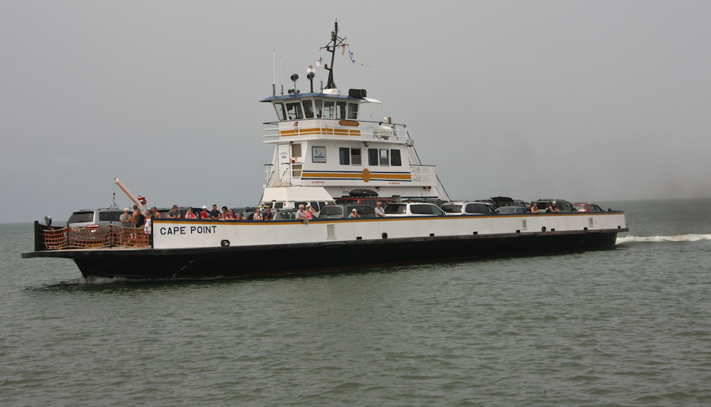
After
the second ferry crossing, we got to Cedar Island. The south end
of the island was grassy pasture and marsh land with minimal trees.
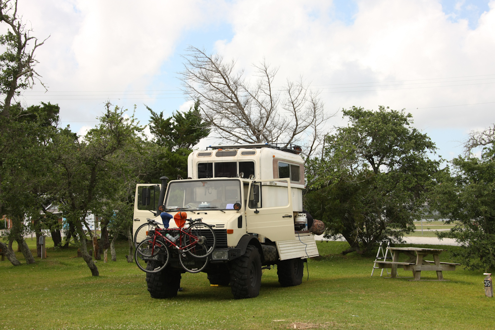
We
stayed at a camp near the next ferry terminal on Cedar Island.
The ferry to Ocracoke Island is long, nearly 2.5 hours. The camp
was OK, but it's primary advantage was that we could make the departure
time for the ferry without excessive bloodshed. The departure was
not particularly early, but sometimes Kathleen is a "hard start" in the
morning.
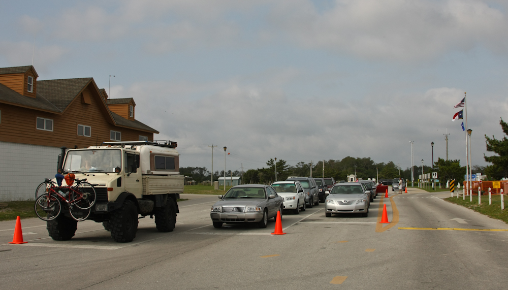
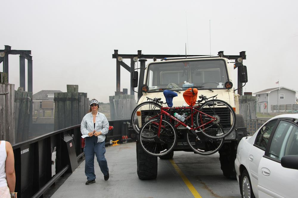
We
were sufficiently early that we got the first spot in line for "big"
vehicles.

There
were houses near the ferry terminal and they had private beach
access. Above, the tide is low, exposing lots of beach.
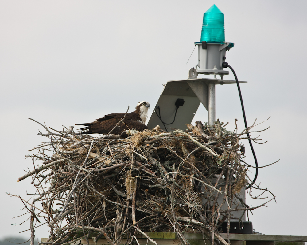
As
the ferry departed, I spotted this large osprey nest on a harbor
beacon. One of the NPS facilities stated that osprey nests can
weigh up to 1,000 pounds. Above, these are not twigs, but rather
branches and small logs.
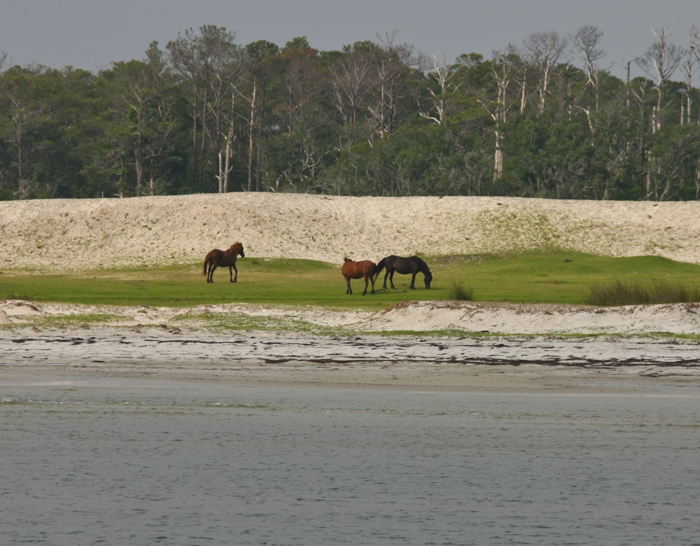
As
the ferry pulled out of the terminal, we got a glimpse of some of the
wild horses that live in the area. These horses are descendants of
horses that were stranded by being shipwrecked during the Spanish
exploration of the area back in the 1600s.
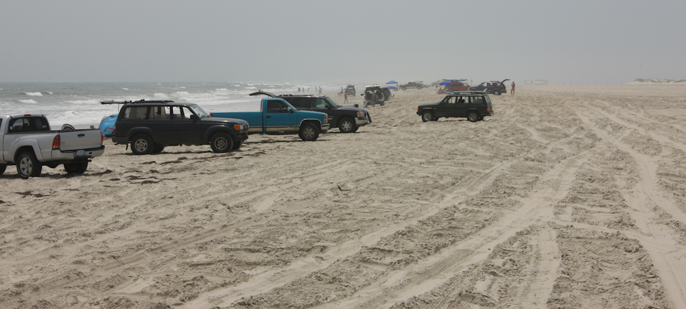
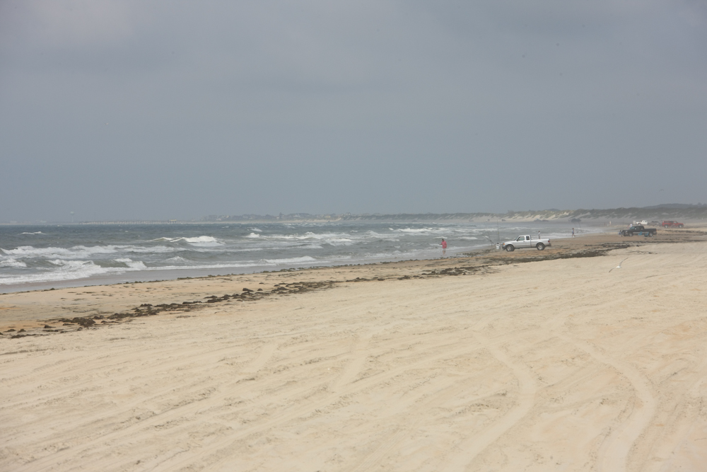
Once
we got to Ocracoke Island, we headed to a raw bar for lunch. When
we finished lunch, we headed to the beach. There are many access
points and it is legal to drive on the beach. Both visitors and
locals go to the beach to swim and fish. The mog turned heads until
necks snapped.
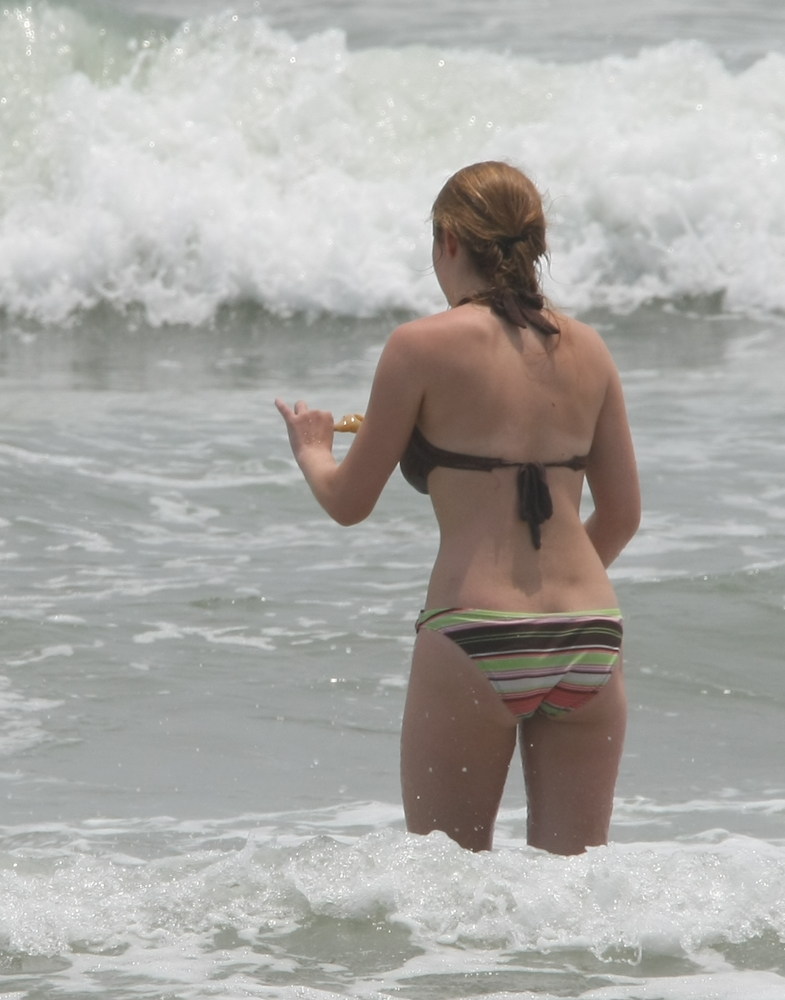
We
saw some interesting things at the beach. This "interesting
thing" was much nicer than some of the other things that we saw.
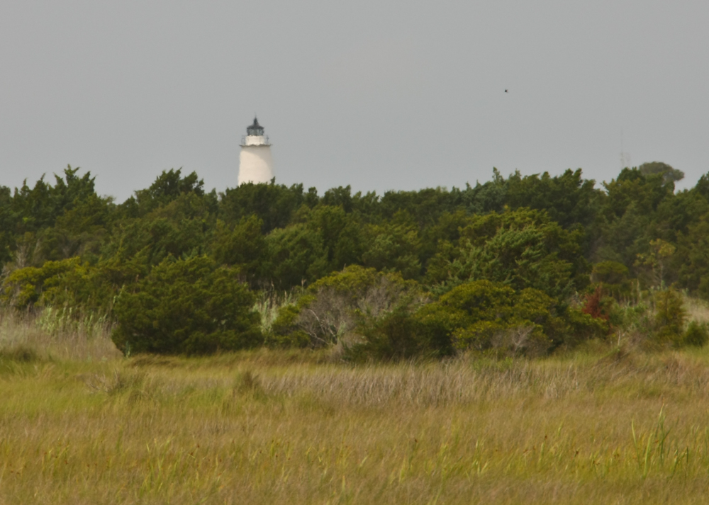
From
the access road to the beach, we got a brief view of the lighthouse on
Ocracoke.
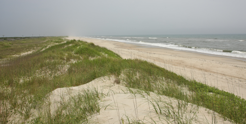
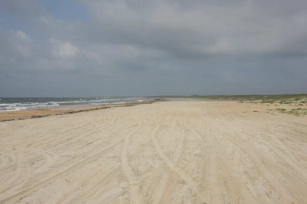
We
continued north from the "populated" section of Ocracoke and got to see
more of the beaches. Compared to some beaches we have seen, this
beach was flat and featureless.
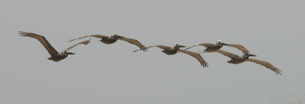
There
were plenty of sea birds along the beach corridor.
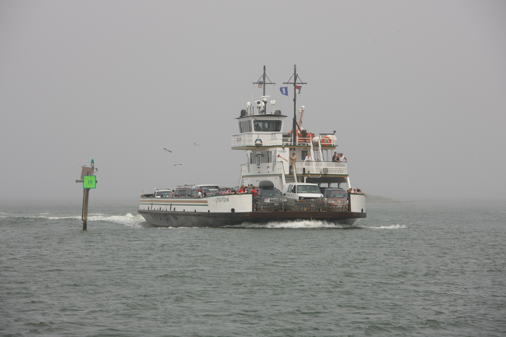
At
the north end of Ocracoke Island, we had to take another ferry. I
shot the photo above as we pulled away from the dock. That is not
fog behind Kathleen, but rather a huge, smelly cloud of diesel exhaust
from the ferry motors. We had to evacuate the fan tail due to the
fumes.
Check
out the exhaust plume on this oncoming ferry. The passage between
Ocracoke and the island to the north is heavily traveled. The
passage is short, perhaps 30 minutes with ferries leaving every 30
minutes. This is in contrast to the Cedar Island ferry that is
2.5 hours.
As
we were heading north, the fog came in rapidly. On the horizon,
you can get a feel for what the deteriorating visibility is like.
Notice the channel markers? The ferries have to travel between
the markers to avoid the shifting sand bars in the area and the channel
is not very much wider than the ferries making careful navigation a
necessity.
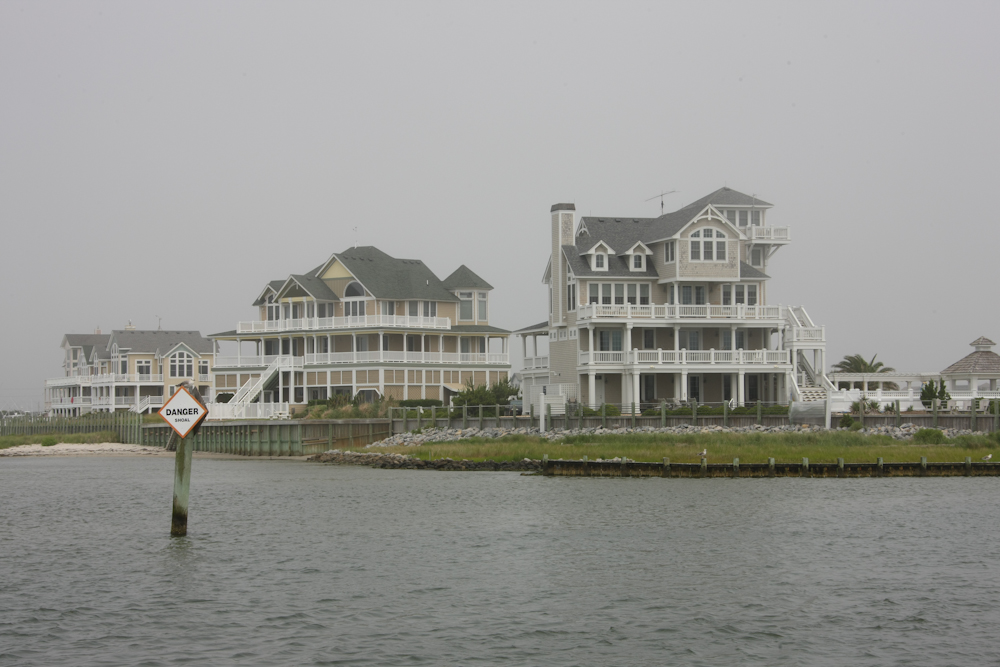
The
arrival at Hatteras was obscured in fog, but there were some really
nice places on the water. Note the danger sign: it warns of a
shoal near shore.
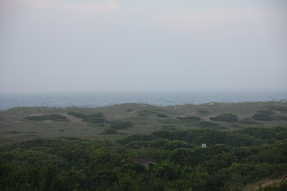
From
the ferry landing, we took the beach route to check things out.
The fog had things pretty much socked in. From the beach, we
continued north on NC 12 toward a NPS campground on the beach at
Frisco. Our campsite was on a high sand dune ridge with a
respectable view. That is, if there was no fog.
We
had a pretty good night at Frisco. The winds were strong, but not
enough to cause us distress. Mostly, the wind kept the bugs at
bay and the camper cool. Next morning, we broke camp and headed
back to the beach for another sand session. The sand was soft and
deep enough to require us to use 4 wheel drive. We did not air
down the tires; that is too much work. As a result of the high
air pressure, we had minimal directional control while driving.
Gladly, there were not many obstacles to avoid.
The
beach was nice and mostly deserted. All the locals had racks for
their fishing poles on the front of their trucks.
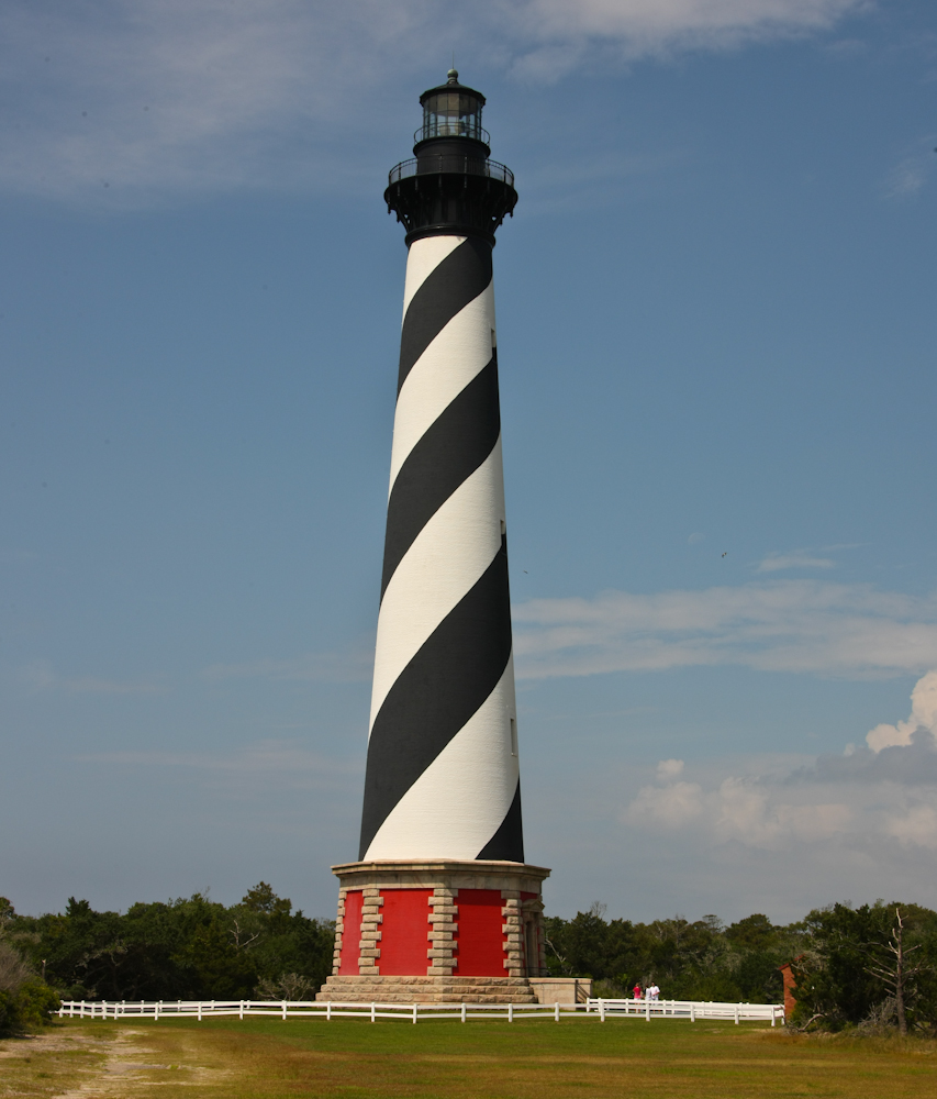
From
Frisco, we continued north to the Cape Hatteras lighthouse.
Interestingly, we found out that the lighthouse was moved, intact, from
its old location to its current location, about 1/2 mile. It
seems that the wave action had started to erode the foundation, so the
NPS funded the migration of the lighthouse. This was an
engineering marvel in my mind.
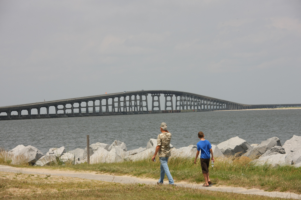
From
Cape Hatteras, we continued north. At the north end of the
island, there was a large bridge rather than a ferry.
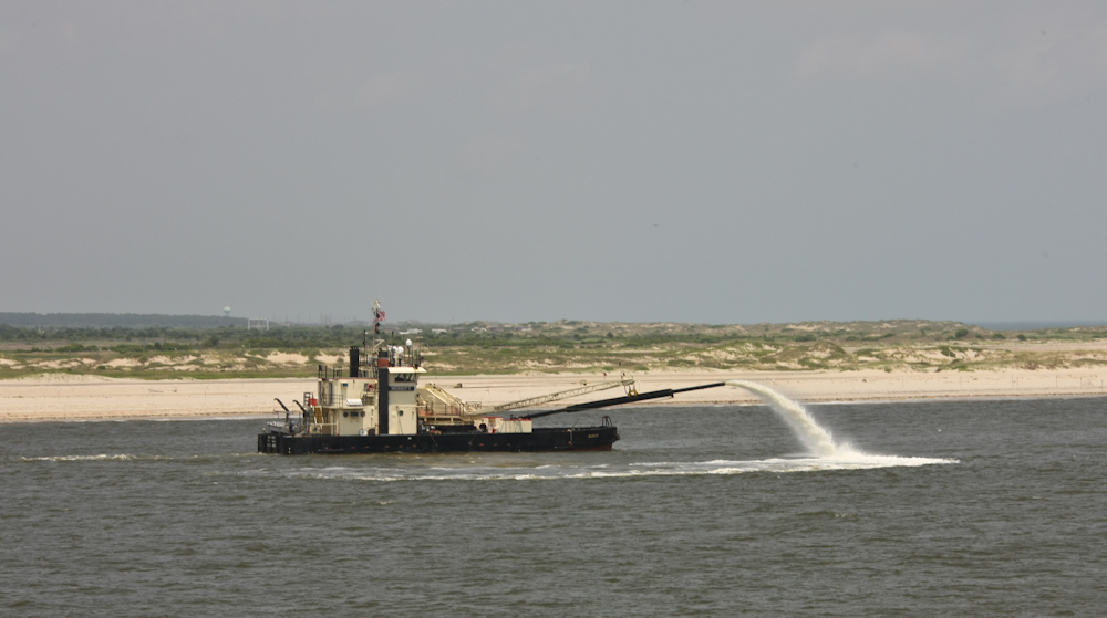
From
the top of the bridge, we spotted a dredge keeping the channel
open. Shifting sand make this a never-ending task. Great
work, if you have the contract.
We
continued north past Nags Head and Kill Devil Hills and had lunch in
Southern Shores at a place called Awful Arthur's Oyster Bar. The
food was great and reasonably priced. From there, we continued
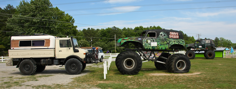
north. As we were driving along, Kathleen spotted several monster
trucks parked along the road. We turned around to check them
out. I am not a monster truck fan, but was aware of the existence
of "Grave Digger". It seems that our travels took us right past
Grave Digger's "home crypt". Above, you can see that I do,
indeed, have wimpy tires.
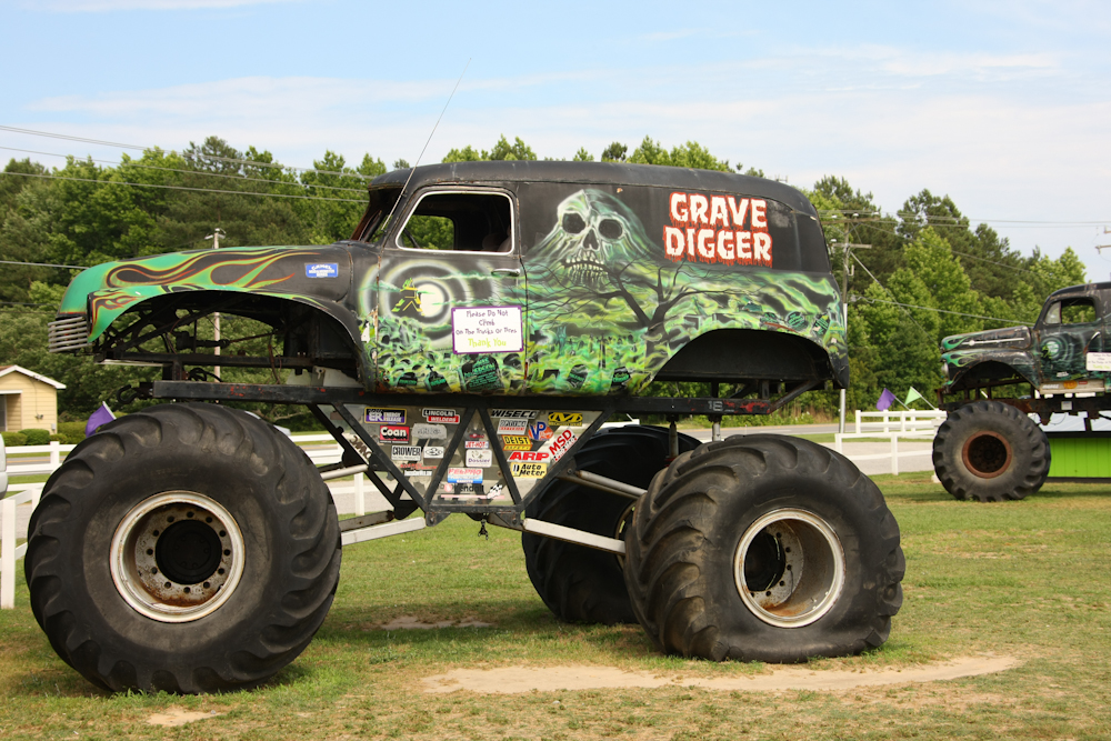
There
is not one Grave Digger, but rather a whole fleet of them. The
company that owns the enterprise runs 7 "brands" of trucks including
Grave Digger and Tasmanian Devil. The rig above is one of the
original Diggers and has a steel body. The later versions have
fiberglass skins.

This
promotional rig was based on an International 4300 unit. At least
the body is a 4300, but nothing else.
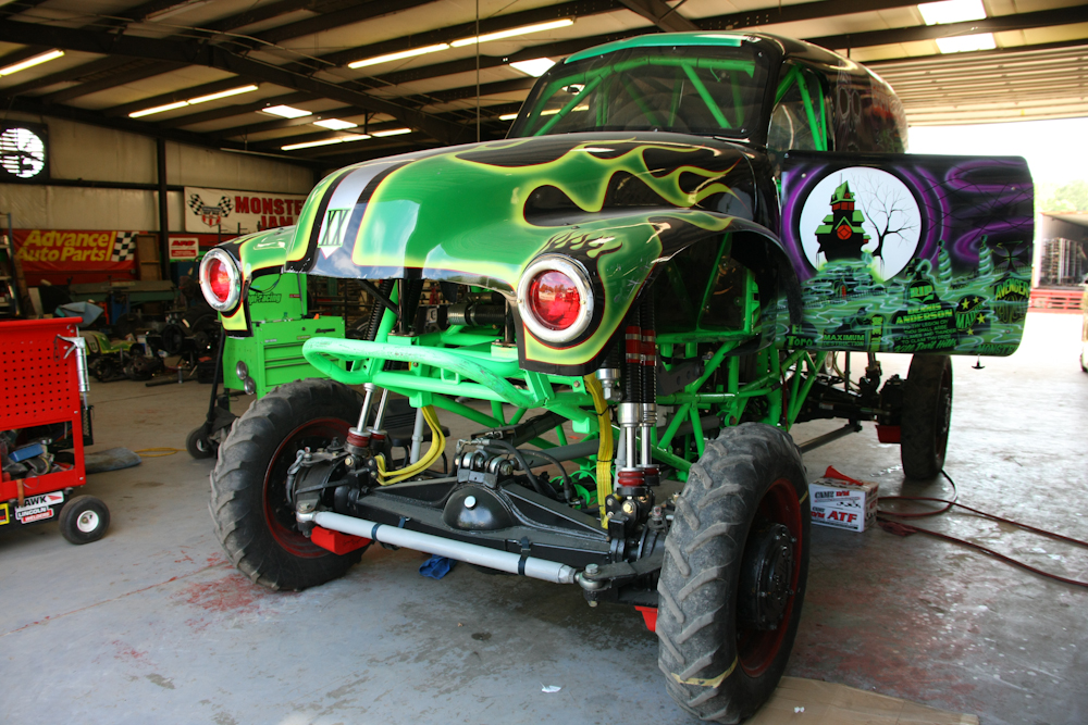
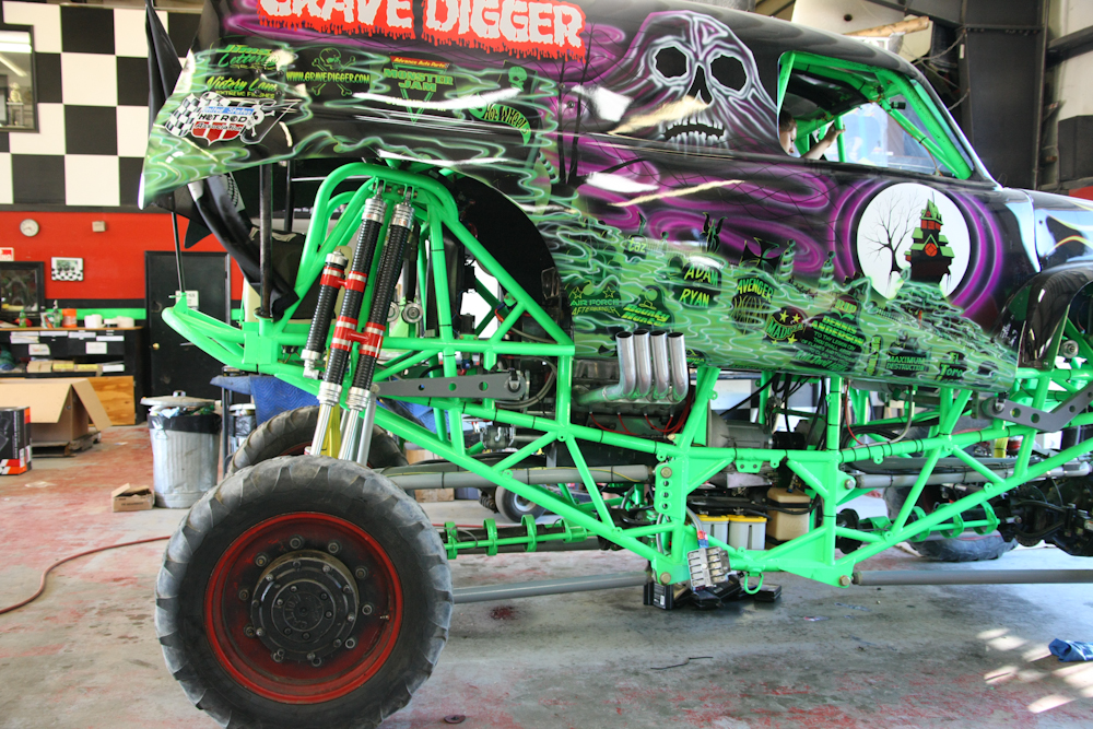
The
unimog brought out all the mechanics in the shop and one thing led to
another. The fabrication manager invited us into the shop for a
look around. Above is one of the Grave Digger rigs under going
some upgrades. This is an actual race truck and currently has a
1400 horsepower alcohol-fueled, supercharged, Chevy big block
motor. The tires are used only for shop work and will be replaced
before a race. Note the braces on the axles, tube frame and
custom shocks.
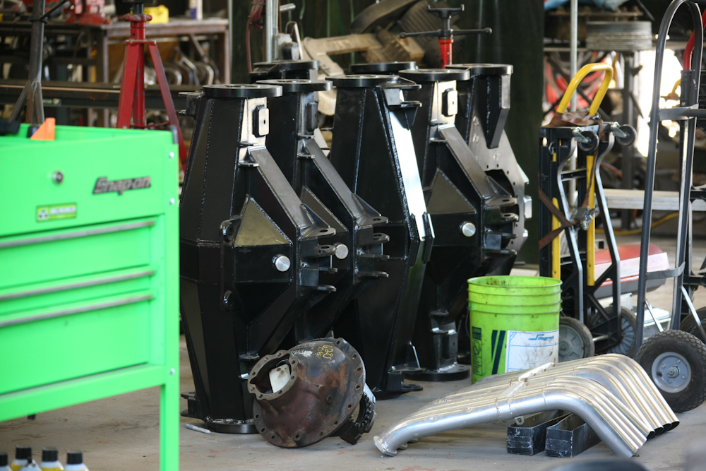
The
Digger team runs a mix of semi-custom and full custom axles on their
trucks. Above, are full-custom axle housings that are being built
for the various trucks. The semi-custom axles area mix of a
medium duty Rockwell axle, augmented by braces to increase their
strength. Additionally, to provide steering on both axles, the
axle ends are mated to "cherry picker" crane wheels.
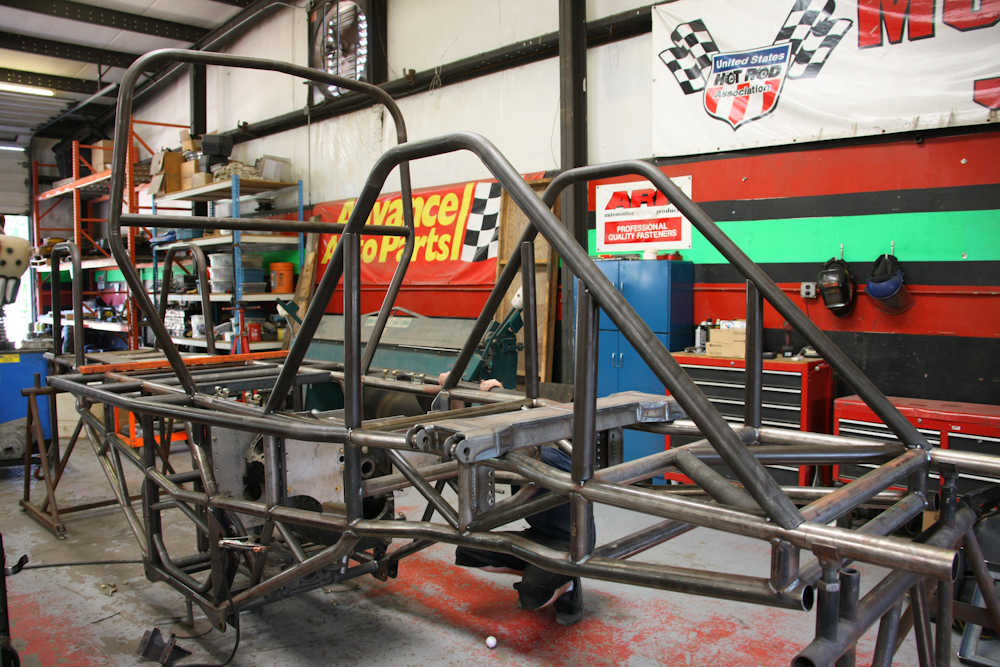
The
fabrication manager showed us a new frame that was being built for one
of the trucks. He stated that the components get hammered pretty
hard during the races and there continuous repairs and upgrades being
done to the fleet.
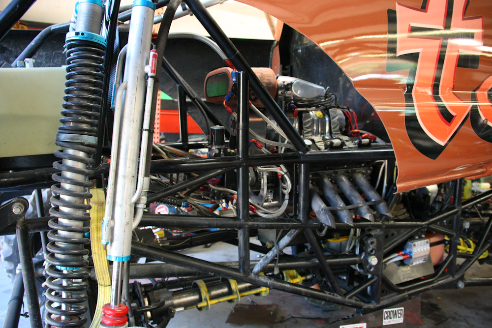
This
is another "brand" that the shop is running, the Tasmanian Devil.
Above, you can see the supercharged motor and straight exhaust pipes.
More
super heavy duty axle housings being fabricated.
Look
carefully, you will see a body in the operator's seat. One of the
mechanical team was a young gal and she climbed up into the truck and
fired it up in the shop as part of testing. Luckily, I saw it
coming and was able to insert my ear plugs in time. Kathleen was
not so lucky and was looking for a place to hide until the noise
abated. This bad boy was really loud! Look carefully at the
photo above and you will notice that the motor is installed backwards
when compared to a normal truck. Unlike several of the trucks
parked outside, the body of this truck is made from a custom fiberglass
shell.
From
Grave Digger's crypt, we head north on a side road to a nice camp right
next to the water. While we were at the crypt, we were told that
there was a "tractor pull" competition being held abut 30 miles north
of our position the following night. Since neither of us had seen
such a thing, we decided to change our plans and see some of the
machinery in operation.
This was a very
nice segment of the trip. Generally, the weather was kind, being
overcast most of the time preventing it from getting too hot.
But, as we approached the north end of the barrier island, things
turned hot in a hurry. We spent a steamy night on the water's
edge, but somehow survived. Kathleen is looking forward to the
tractor pull; it should be an interesting evening.
| Previous Adventure | ||
| Trip Home Page |
Photos and Text Copyright Bill Caid 2009, all rights
reserved.
For your enjoyment only, not for commercial use.