We traveled from Palouse Falls to the Snake River. From there, we headed south across Oregon to Northwest Mog Fest (NWMF) in Sheridan, OR.
The photos below are what we saw.
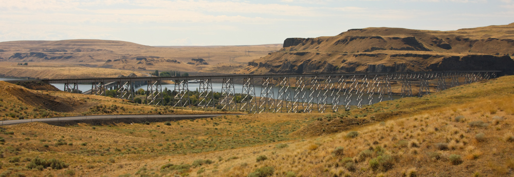
Just south of Palouse Falls, the BNSF tracks cross the Snake River. This is a big, big bridge.
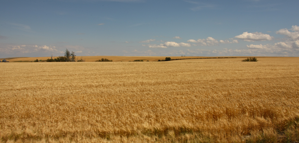
In the hills south of Pomeroy, WA there were fields of wheat waving in the wind.
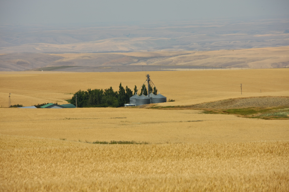
The fields stretched for miles.
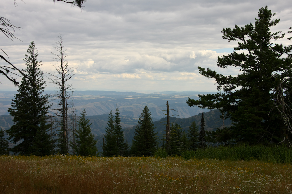
We traveled south from Pomeroy into the Tucannon Wilderness.
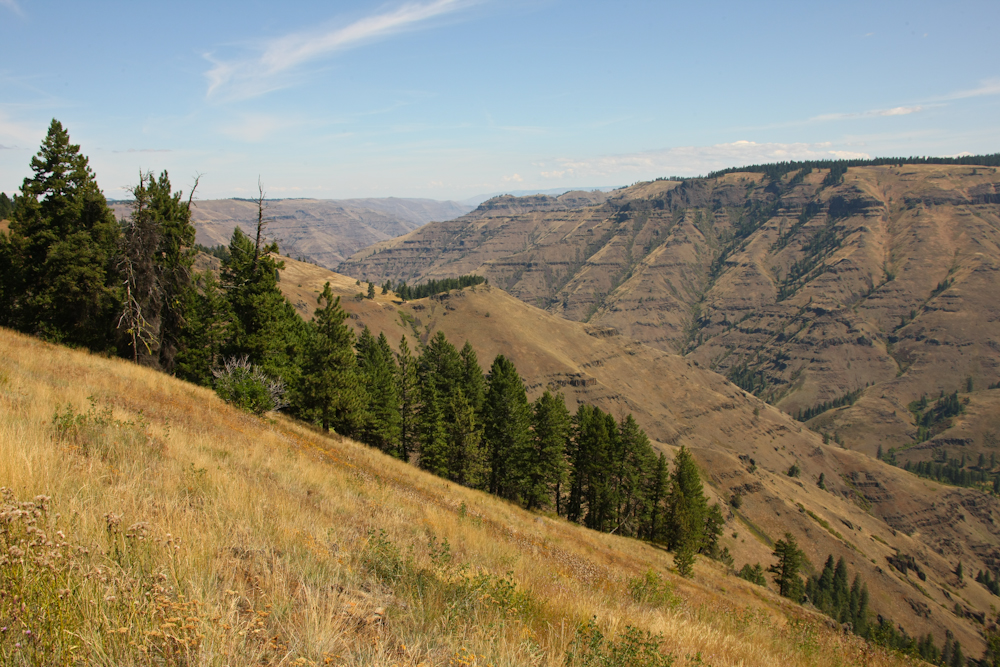
Our objective for the day was Hat Point overlooking Hell's Canyon.
To get to Hat Point, we traveled to Enterprise, Joseph and then northeast to Imnaha to start another off road portion of our trip.
The trail from Imnaha was steep and narrow. The trail grade was nearly 20% on some stretches and therefore quite scary. Going up is not that bad, but the return trip was slow going. From the first ridge, we got views of the Imnaha river to the west of our position.
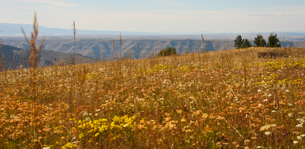
Because the ridges were over 7,000 feet, spring was just arriving (in late August) and many flowers were in bloom.
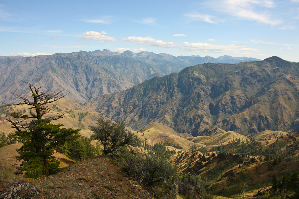
To the east of us was the Seven Devil's mountain range in Idaho.
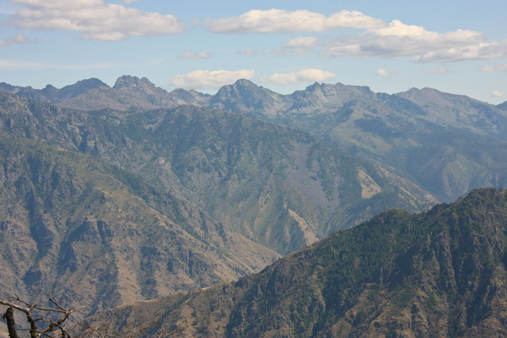
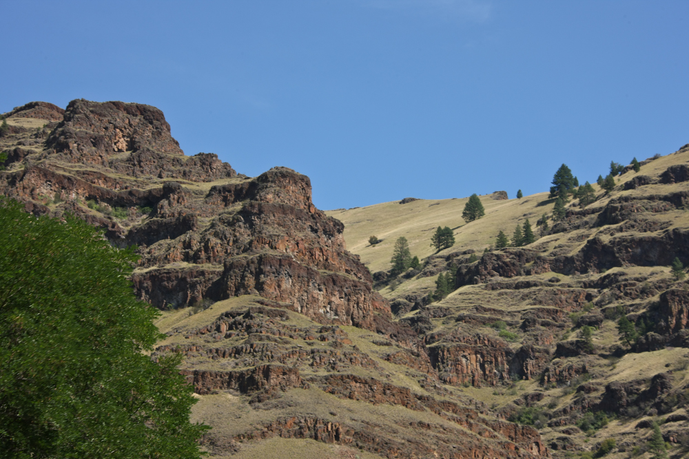
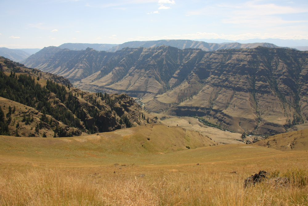
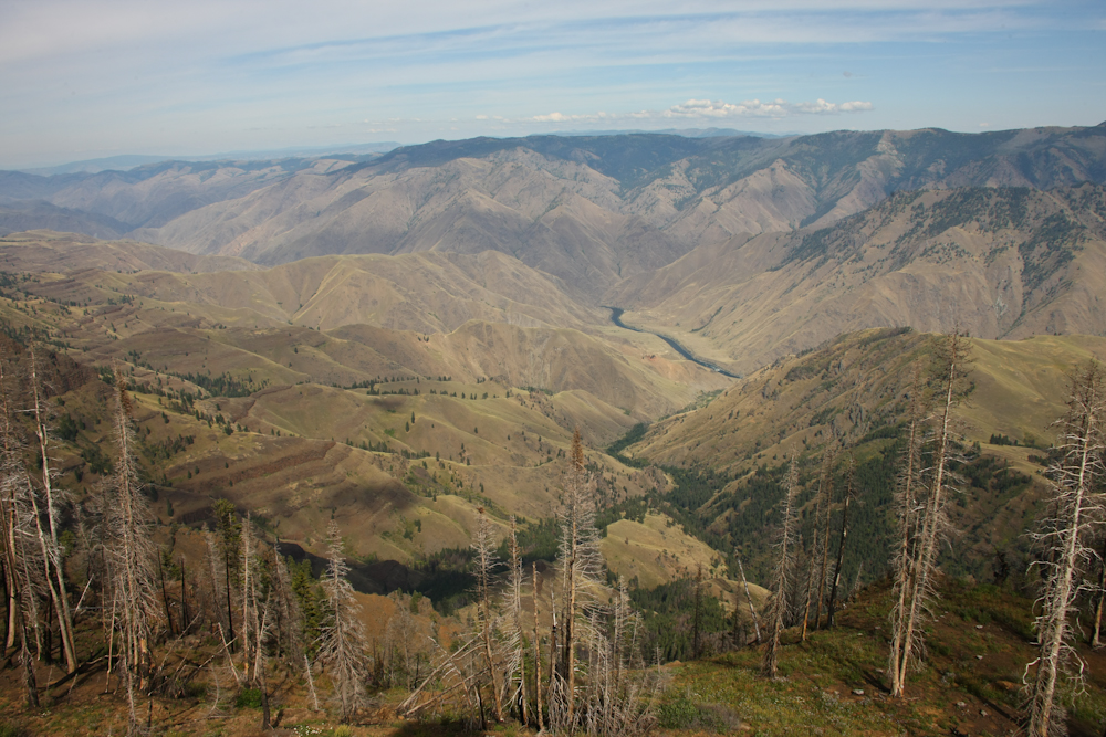
With the Seven Devil's range in the distance, it is easy to see where Hell's Canyon got it's name. This canyon is the deepest canyon in North America.
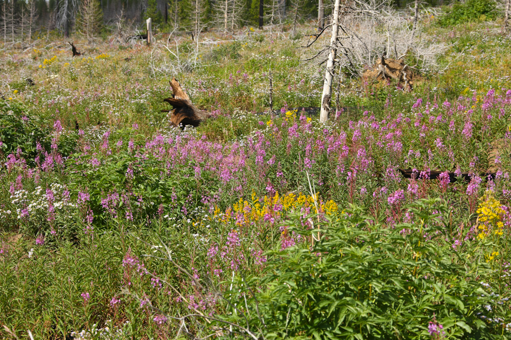
On the high ridges overlooking Hell's Canyon, we came upon nice fields of flowers in bloom. This area had been burned recently and the ash from the fire provides a fertile environment for flowers.
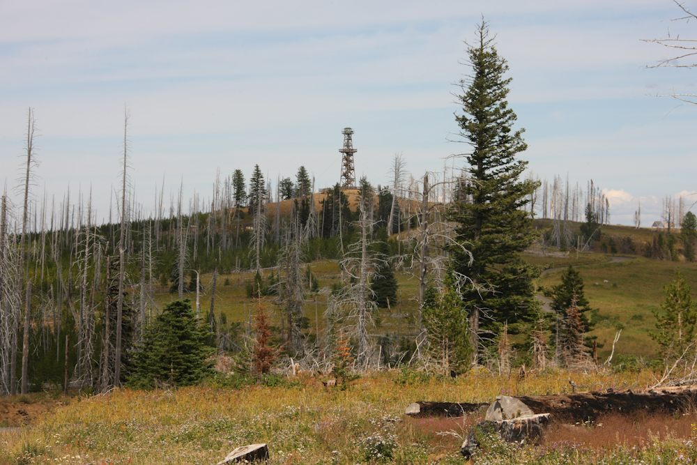
The Hat Point fire lookout was our destination and it finally became visible in the distance.
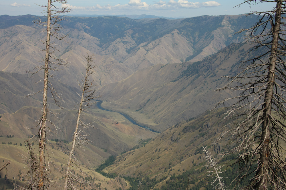
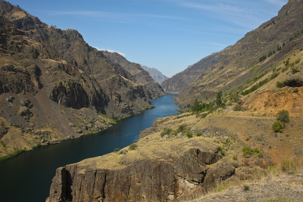
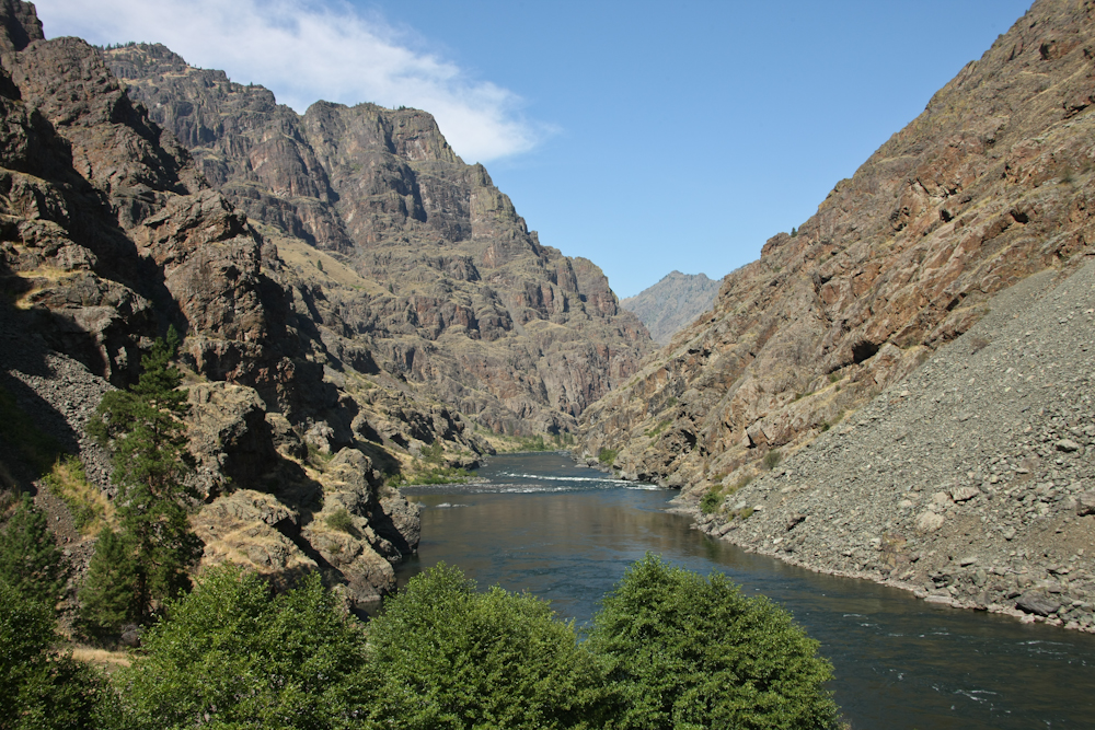
From the base of the tower, we could finally see the Snake River below in Hell's Canyon.
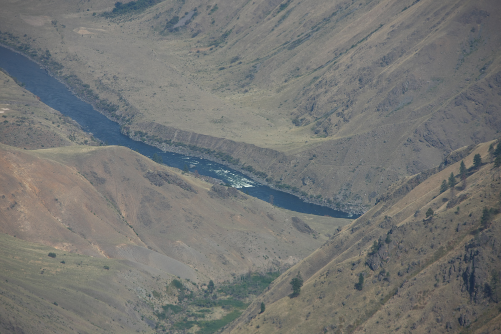
From our position on the ridge, we could see a set of natural rapids on the Snake River.
This area is quite dry and therefore is not heavily forested, particularly in the valley below.
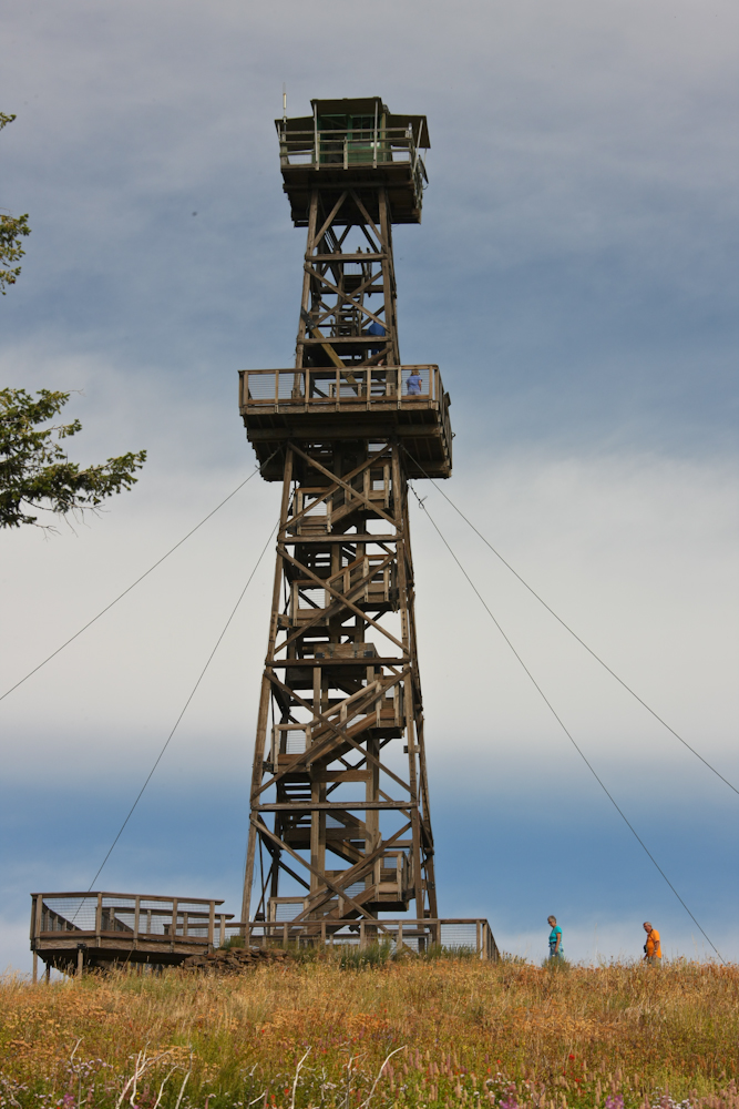
The hat point lookout provided great views of Hell's Canyon and the Seven Devils Range to the east.
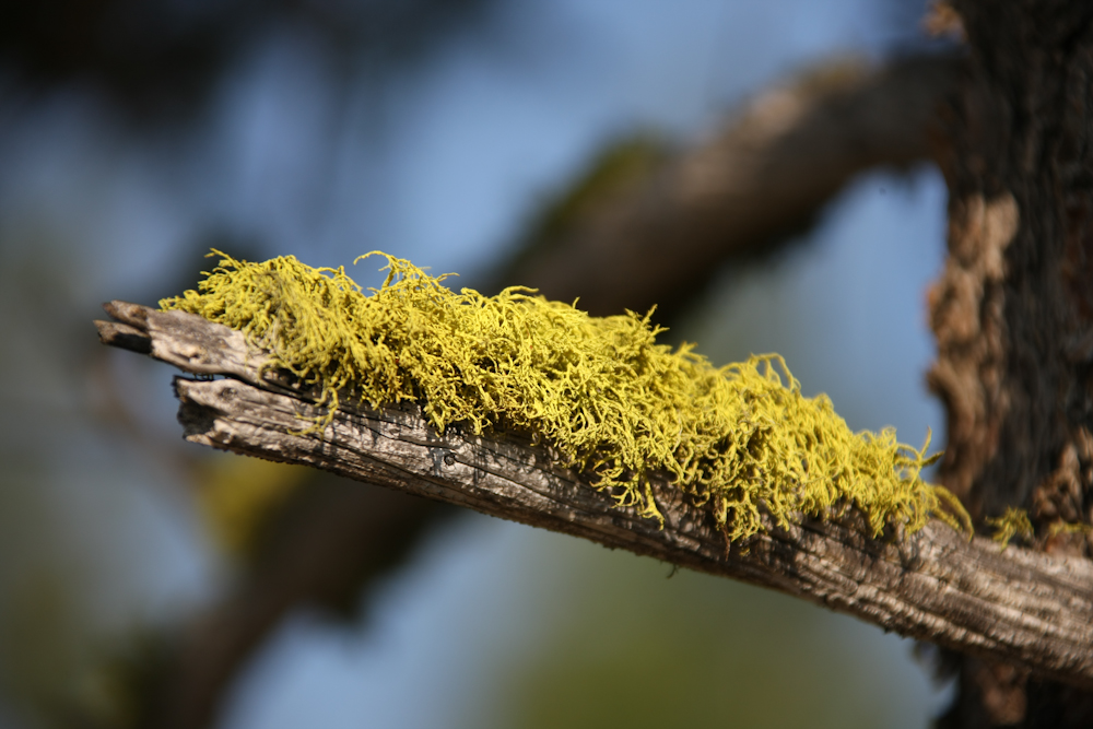
Moss on dead tree limbs. We spent one night on the lip of Hell's Canyon in a remote camp. We were at about 7,000 feet, so it was quite cold. Next morning, we headed down the grade to Imnaha and then south toward Halfway.
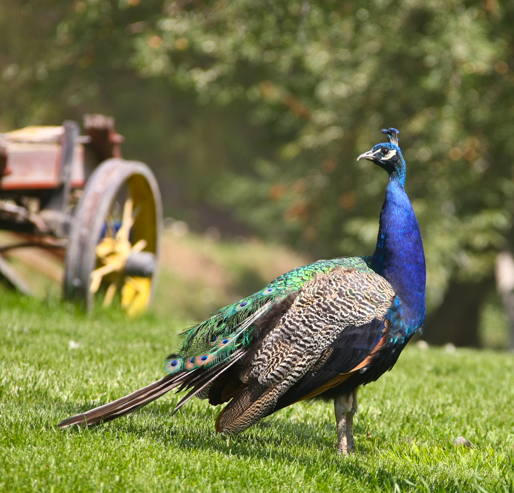
On the way to Halfway, we passed a ranch that had peacocks. Very beautiful but very unexpected.
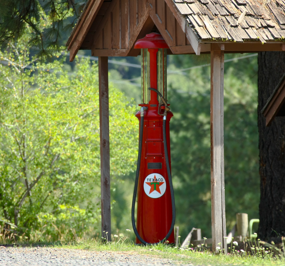
A relic of a by-gone era.
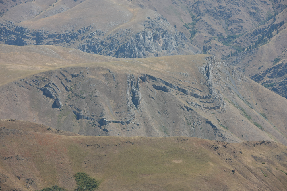
From an overlook point, we got a great view of the warping associated with the tremendous geologic forces at work in the area.
This guy tried to take a core sample out of my arm.
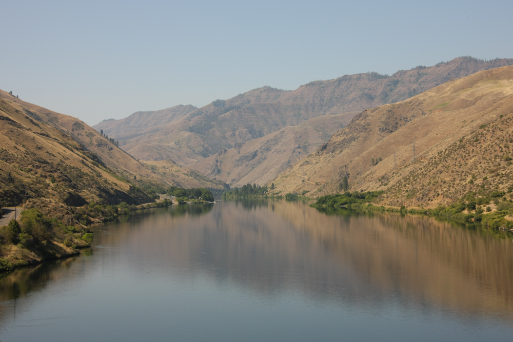
We headed toward Hell's Canyon Dam and got a number of nice views of the Snake River.
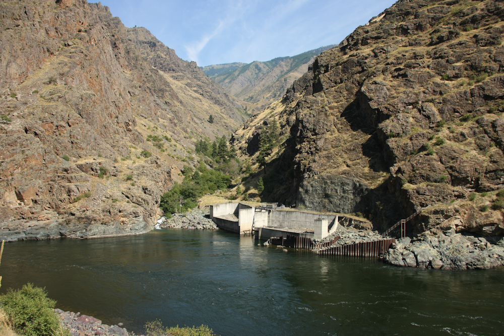
The bypass tunnels of Hell's Canyon Dam.
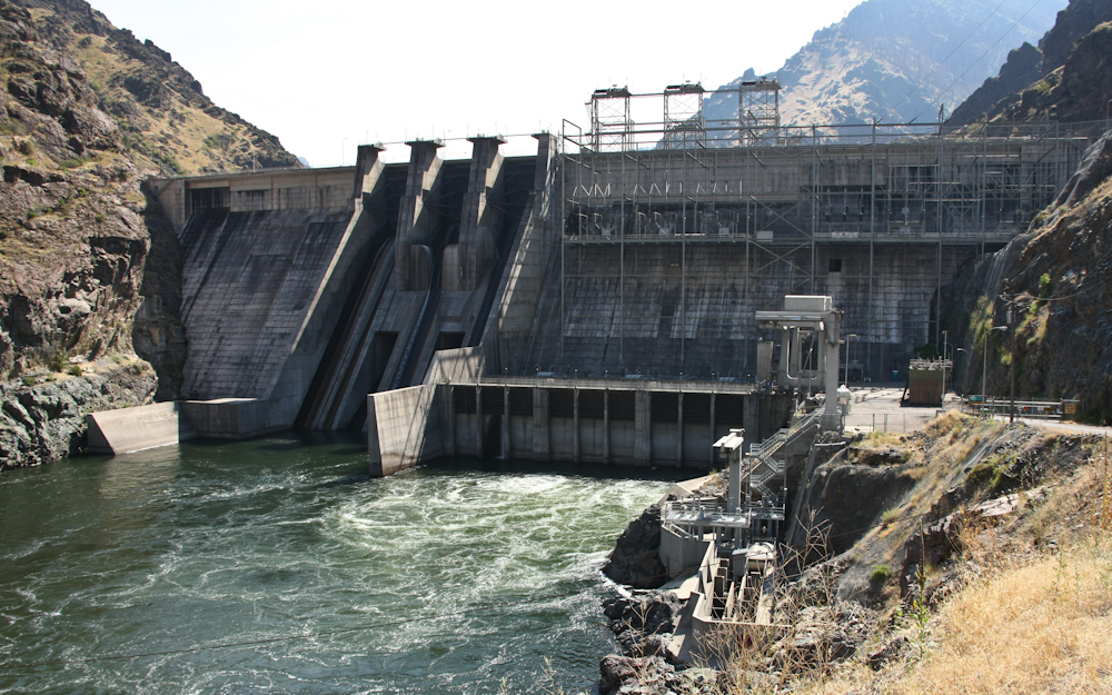
The lake behind the dam is not all that large, but there is sufficient head to produce power. Above is a shot of the dam and powerplant.
Downstream from the dam the Snake River returns to it's wild state. There were a number of rapids that were visible from the dam. We camped at a place called "Big Bar" and had a nice night. We were right on the river and had the place to ourselves. We went swimming in the river and the water was a nice contrast to the heat of the day. Next morning, we broke camp and headed west toward Sheridan, OR and NWMF.
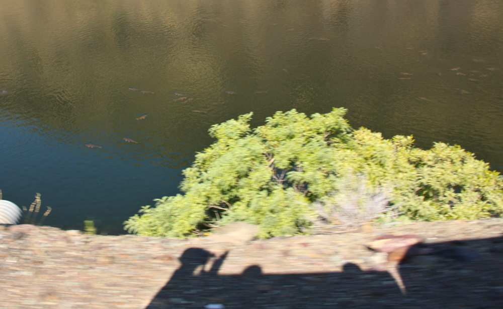
On the way out, we spotted huge groups of large catfish in the river.
A smooth portion of the lake behind Hell's Canyon Dam.
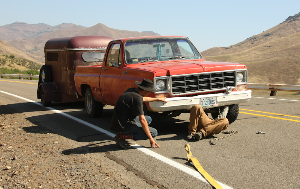
On the steep, narrow upgrade from Hell's Canyon to Halfway, OR we came upon this fellow that had broken down in traffic with a loaded horse trailer. We stopped to render assistance which, in this case, consisted towing him back home. We towed him over several 3500 foot passes with 7% grades.
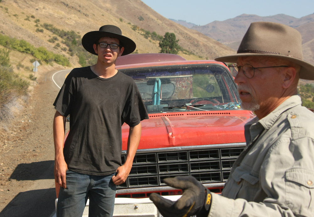
This cowboy really had no solution to his problem, so I took control and told him that he could not stay where he was.

I took my tow line and wired it to the hitch to prevent it from falling off. The hitch was more than strong enough to safely do the tow.
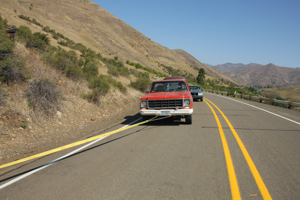
He allowed slack in the line to get under the wheels of his rig thereby damaging my tow strap.
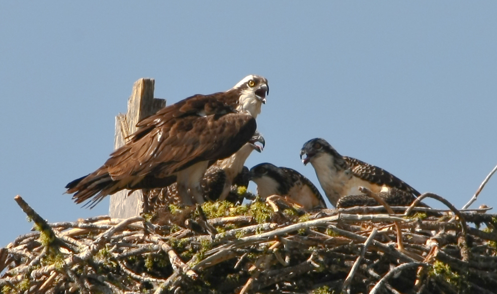
Along the way to Sheridan, we came upon this nest of Osprey. Mom and the chicks were all squaking at me.
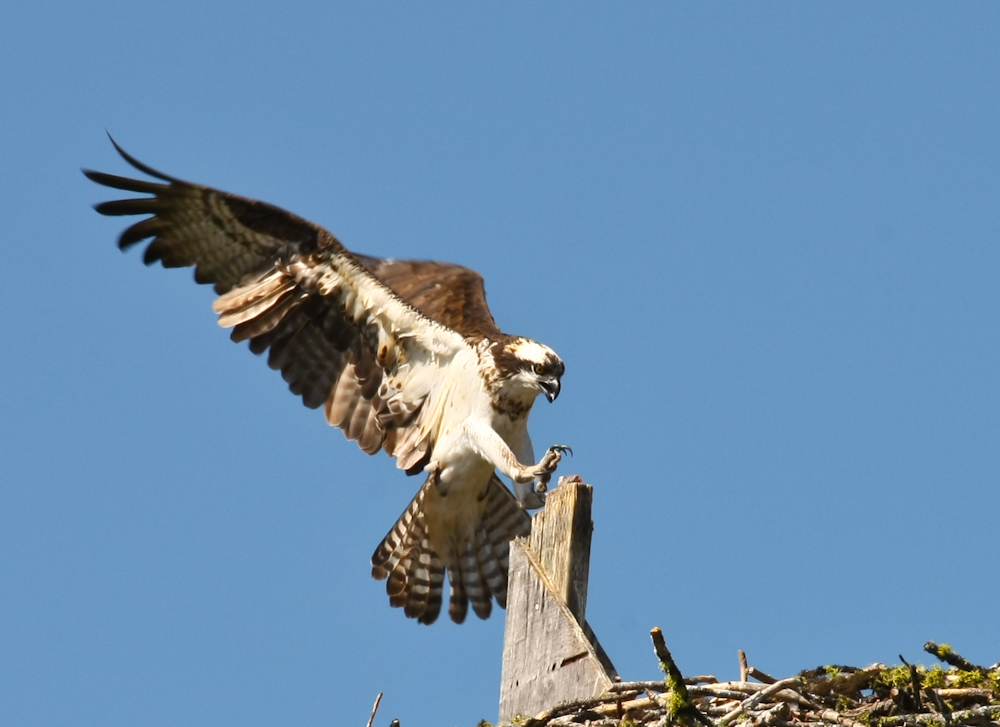
Mom left the nest a number of times while I was watching. Check out those talons!! They are strong and sharp.
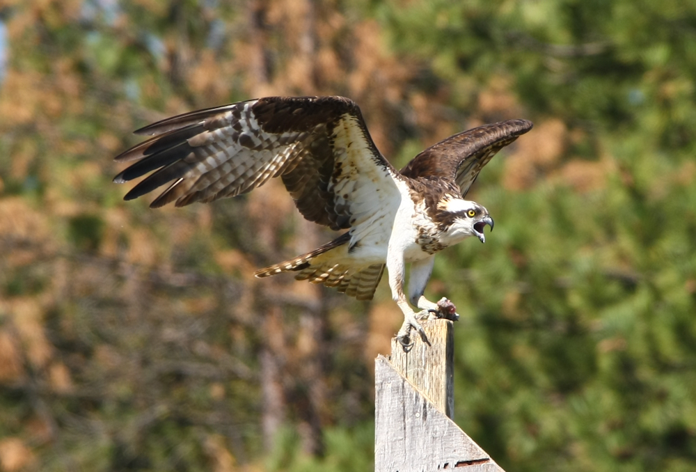
Momma did not like that we were "in her space" and made many over-flights showing her discontent.
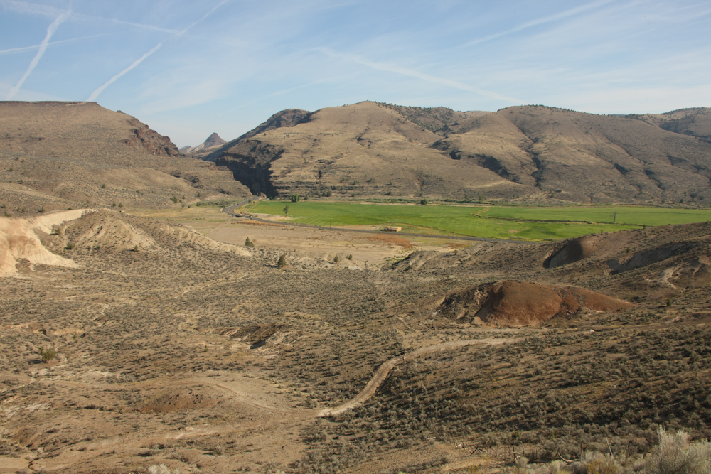
Painted Canyon near the John Day fossil site.
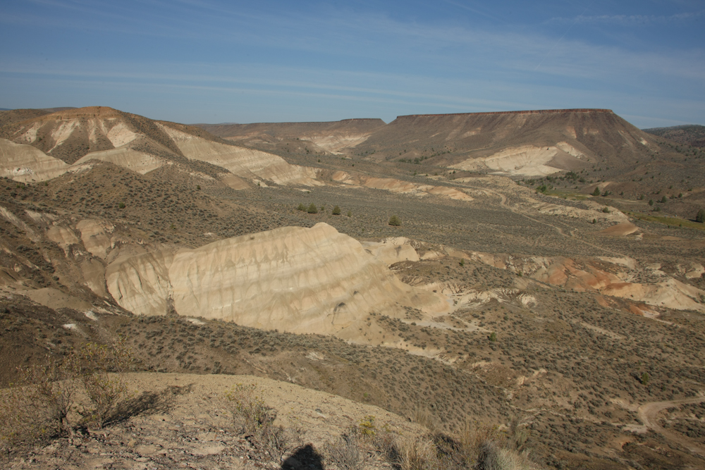
A view of the John Day fossil area. The light tan is volcanic tuff and the dark band on top is a basalt flow cap rock.
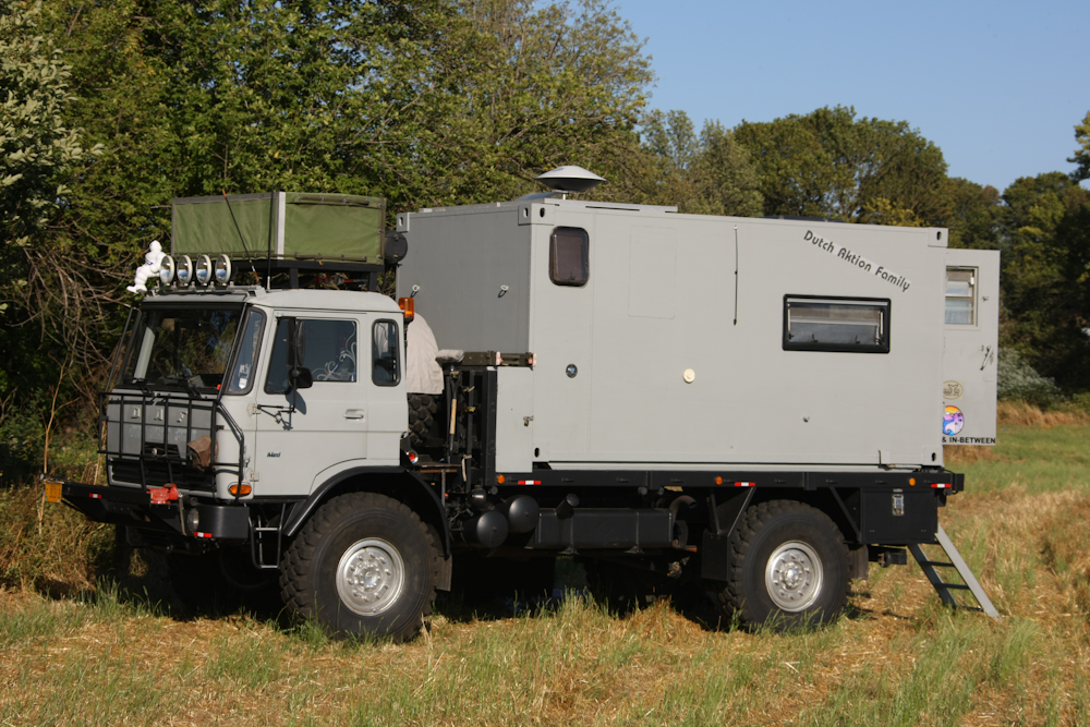
We finally arrived at Sheridan, OR and NWMF. Before we set up camp, we took a drive around the camp area to see what we could see and spotted this nice DAF truck with custom camper. Note the vice on the bumper.
Our plan was to spend several days at NWMF and connect with others in the mogging community. At NWMF there were Unimogs, Pinzgauers, Haflingers and a host of other odd machines. Tommorow and the next day, I will get photos of these rigs in action.
| Previous Adventure | ||
| Trip Home Page |
Photos and Text Copyright Bill Caid 2009, all rights reserved.
For your enjoyment only, not for commercial use.