The first part of our journey was to travel from San Diego to the area around Las Vegas. This was a basic road trip on a highway that we have traveled many times. But, instead of traveling the whole distance on the interstate, we got "close" and then headed north into the Mojave Desert. The plan was to remote camp for one night and then return to the interstate and get to Las Vegas. From Vegas we continued north along the interstate to a small town called Littlefield. From there, we left the interstate and traveled north into the back country of the Beaver Dam Mountains. We spent one night remote camping in a place called Mine Valley and then went to St. George, UT. From St. George, we went north to Cedar City and then headed east into the mountains to Navajo Lake (where we were stuck in the snow on a previous trip). From Navajo, we continued east and north past Bryce Canyon and back into the mountains of the Aquarius Plateau.
In general, the plan was to work our way north, but avoid the interstate to the extent possible. And that we did.
The photos below are what we saw.
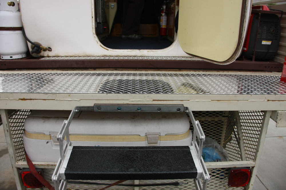
The tailgate of the mog was uneven and hard to walk on, so we added some aluminum diamond plate. We also added Hurculiner polyurethane anti-skid coating to our stairs. The stairs came with an anti-skid tape, but it did not work that well. Last year in Yellowstone, I slipped down the stairs when they were wet. So, given that we were going to places where it rains, action was required.
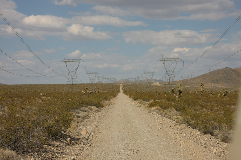
From San Diego, we headed north along I-15 to the Mojave Desert near the California-Nevada state line. From there, we headed north until we hit the power line road and then turned east. Above, the power lines can be seen heading toward the east. We followed the lines for several miles, then headed south into the Clark Mountains to find a camp site.
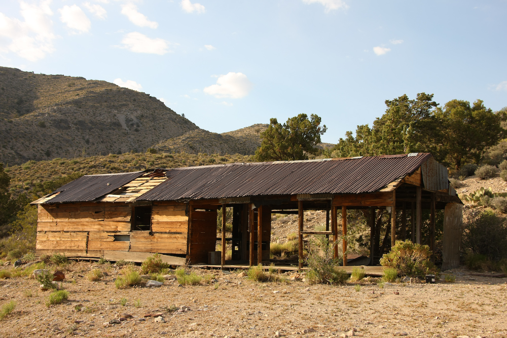
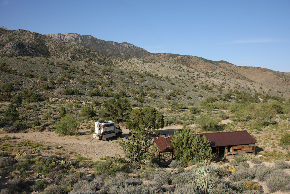
We followed the trail until we came to an abandoned structure associated with some mines. The terrain was flat, so we decided to set up camp.
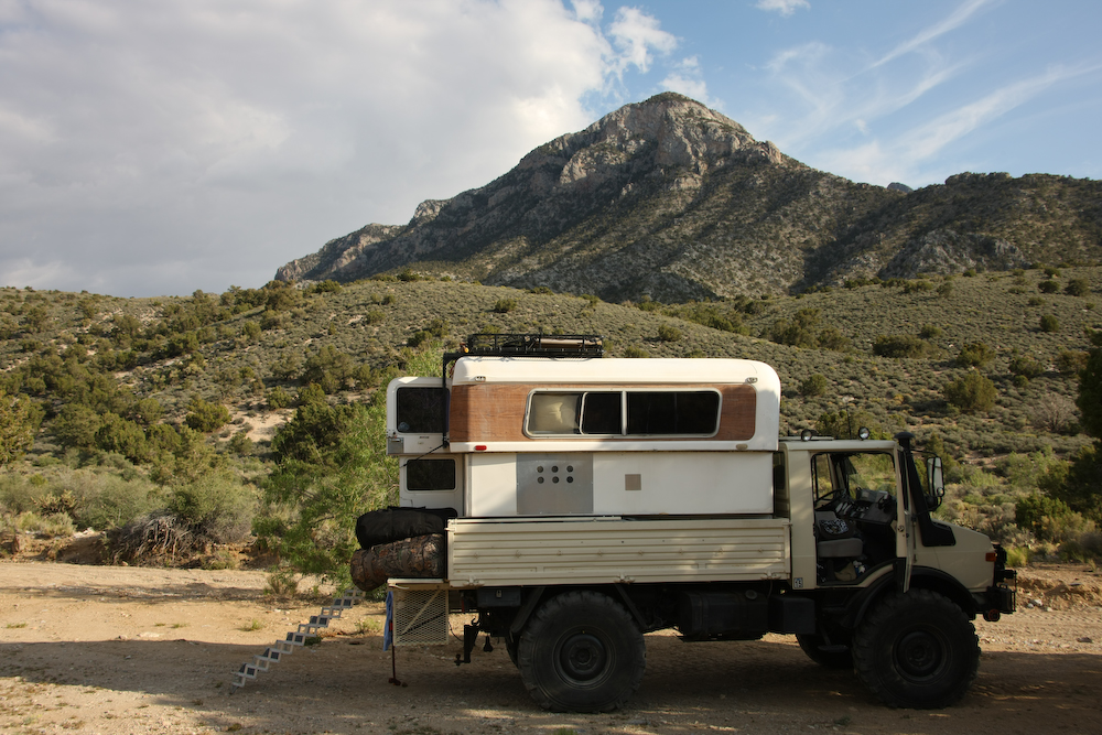
We set up camp under Clark Mountain at about 4500 feet elevation.
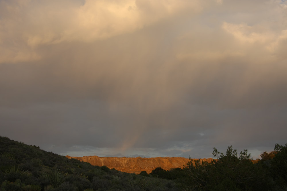
To the east of our position, rain clouds were brewing. The flat line on the horizon is tailings from a close mine.
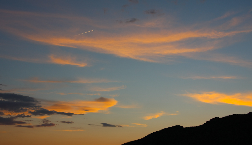
We were treated to a reasonable sunset, complete with a jet en-route to Las Vegas.
Next morning, I hiked up the hill to get a view of the surroundings.
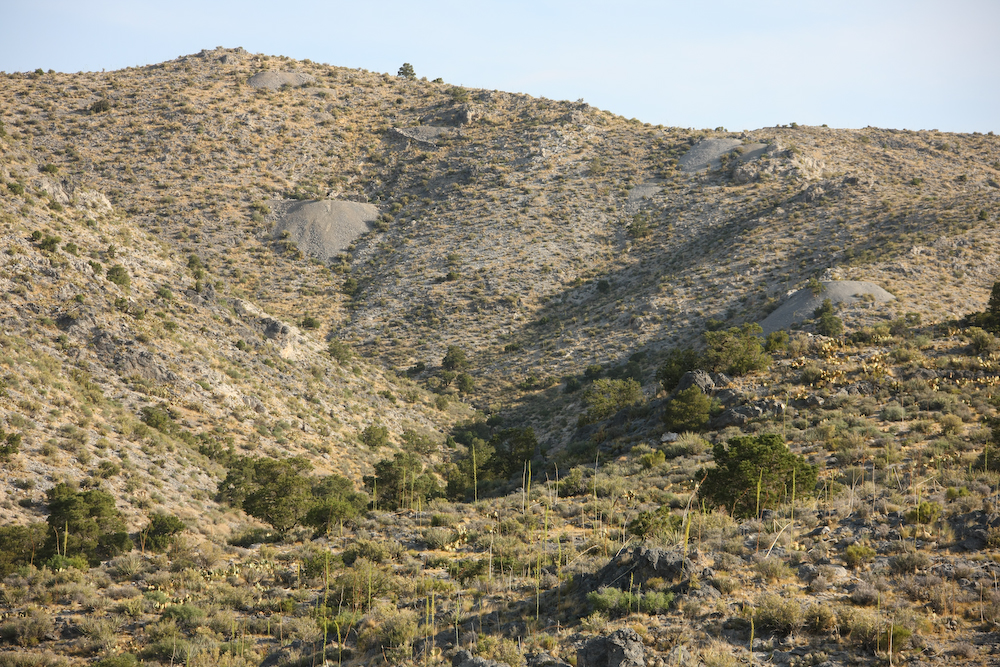
The area close to our camp was riddled with small mines, all abandoned.
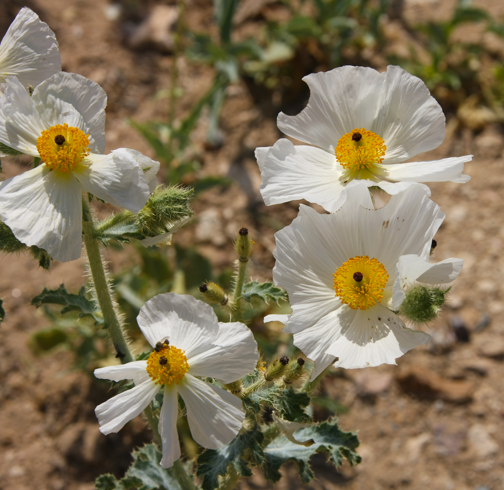
There were nice white flowers in bloom.
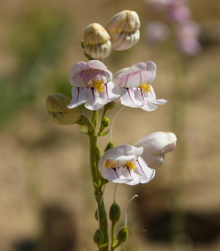
These flowers looked like snap dragons, but I am sure that they are not.
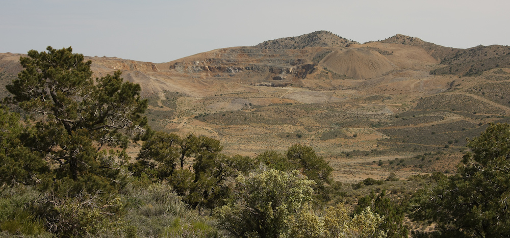
Near the pass, we had a view of the Colosseum Mine.
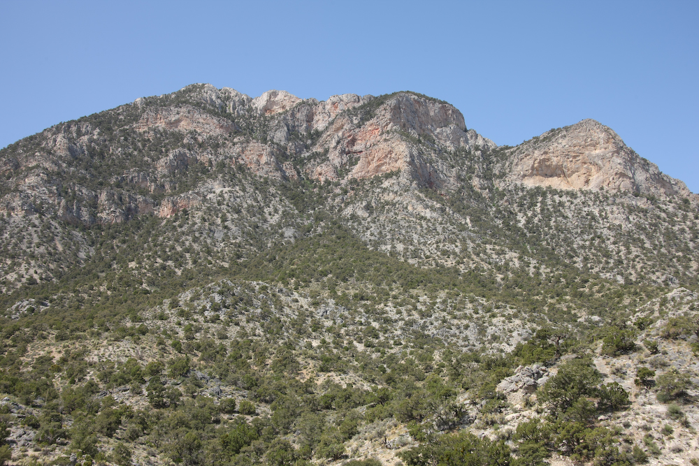
Clark Mountain.
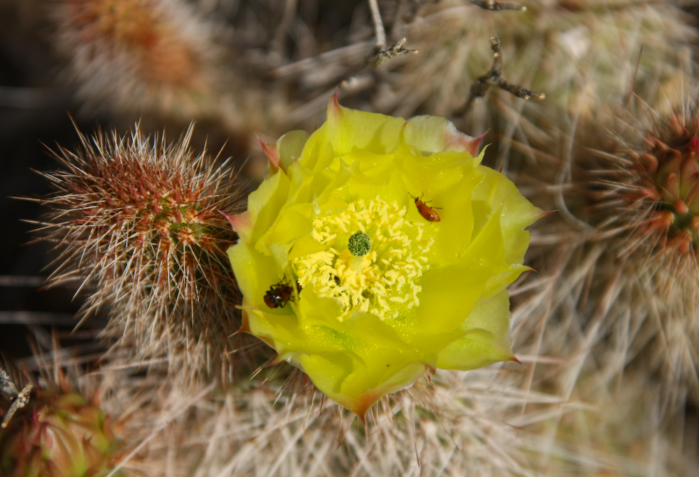
Some of the cactus were in bloom. Above, you can see the insects working hard. From the Clark Mountain area, we headed northeast back to I-15 and then to Las Vegas.
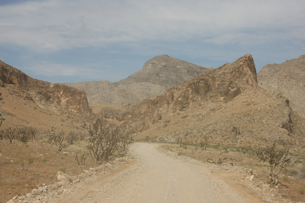
From Vegas, we continued north along I-15 to a small town called Littlefield. From there, we headed into the Beaver Dam Mountains. The Beaver Dams are quite rugged as can be seen in the photo above.
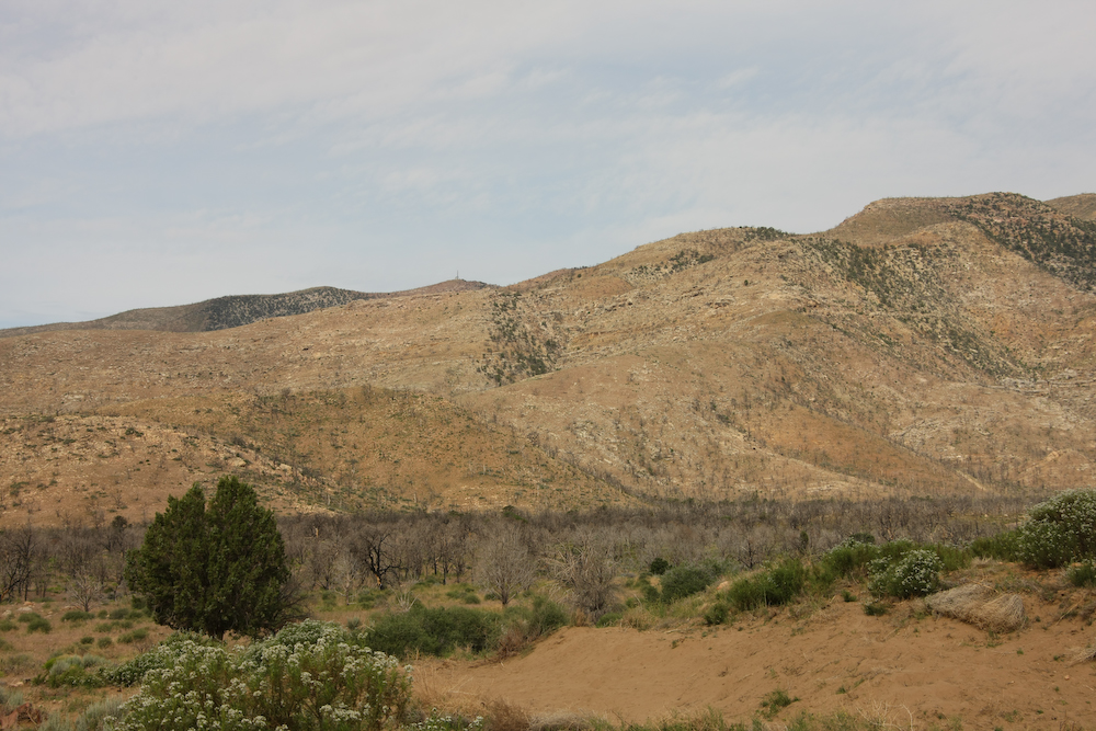
It seems that the whole Beaver Dam mountain area had been subjected to a burn some time in the recent past. The burn area reached the desert floor as well as the upper reaches of the peaks.
We decided to camp in an area called "Mine Valley" and as you can see in the photo above had been burned as well. Only small patches of trees and brush remained.
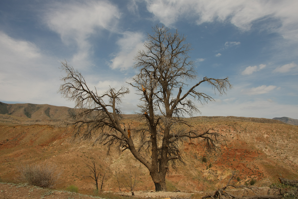
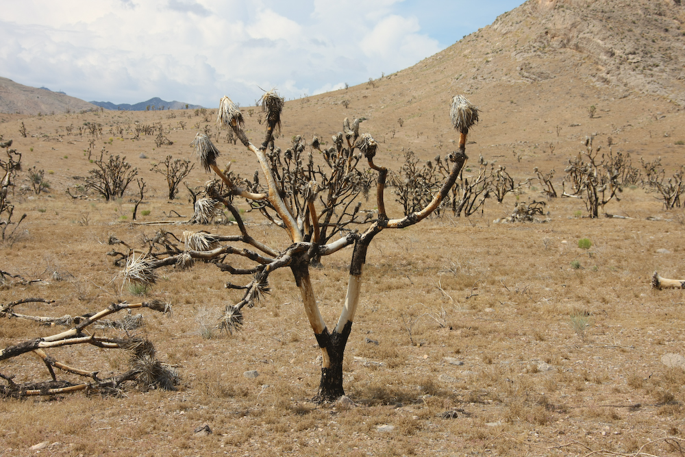
We had a nice, uneventful night and next morning we broke camp and continued on toward St. George, UT. Our path took us deeper through the burned area. Above, a lone tree remains.
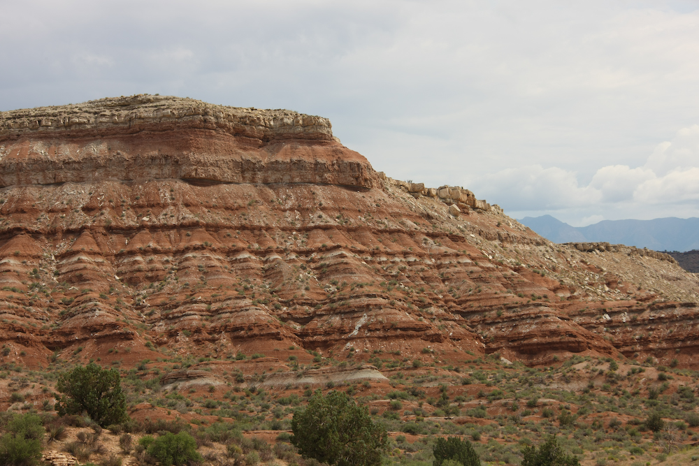
Our path took us near the famous southern Utah red rock cliffs.
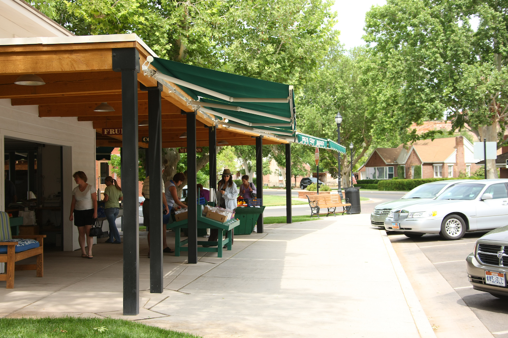
We passed a small market in Santa Clara and Kathleen decided to get some fresh fruit.
From St. George, we headed north to Cedar City and then east into the mountains to Navajo Lake. Navajo Lake is about 9200 feet in elevation and it was rainy and quite cold. We camped at Te Ah on the west side of the lake. It rained most of the night, so we holed up in the camper and watched DVDs on our laptop and drank wine.
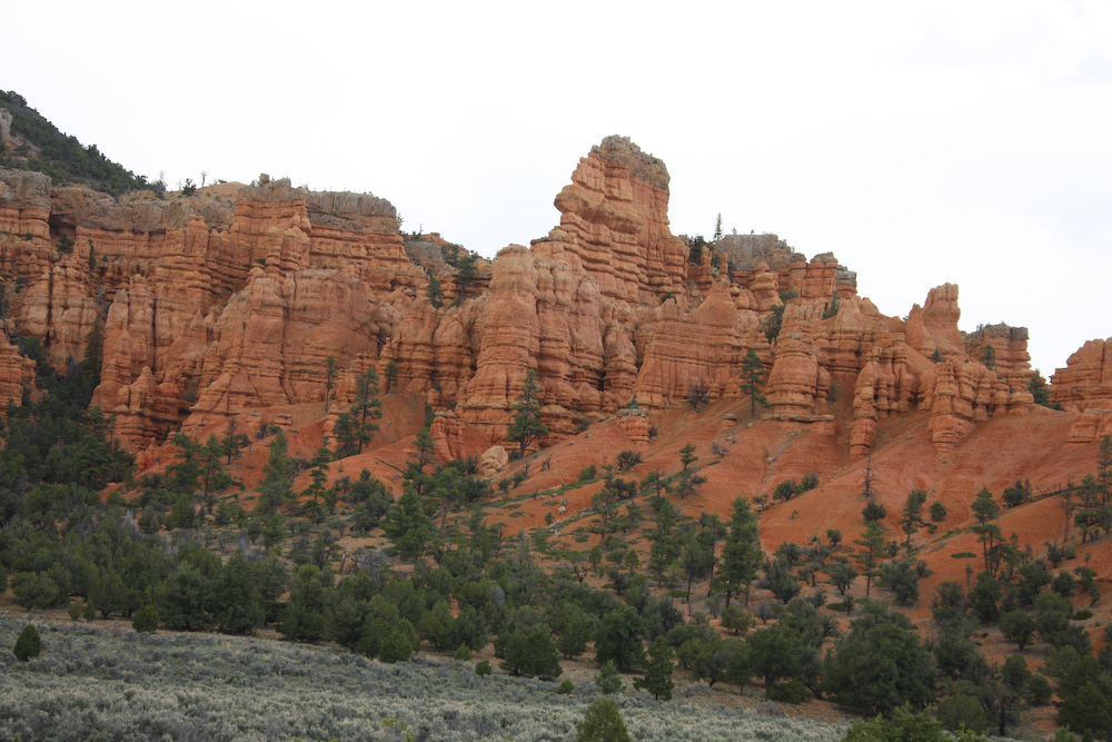
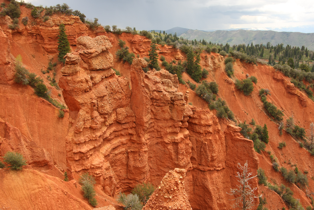
Next morning, we left Navajo Lake and headed east toward Bryce Canyon. Along the way, we passed through an area cleverly named "Red Canyon". Sadly, the photo above does not fully show the rich red colors due to the overcast lighting.
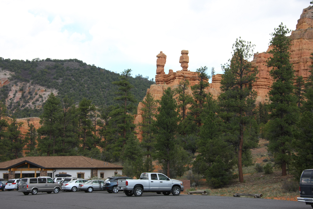
We stopped for lunch in Red Canyon. The parking lot at the visitor's center was full of Memorial Day weekenders on the road.
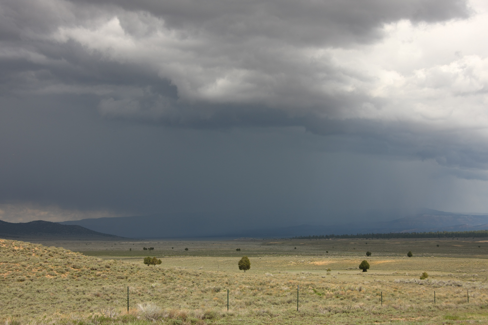
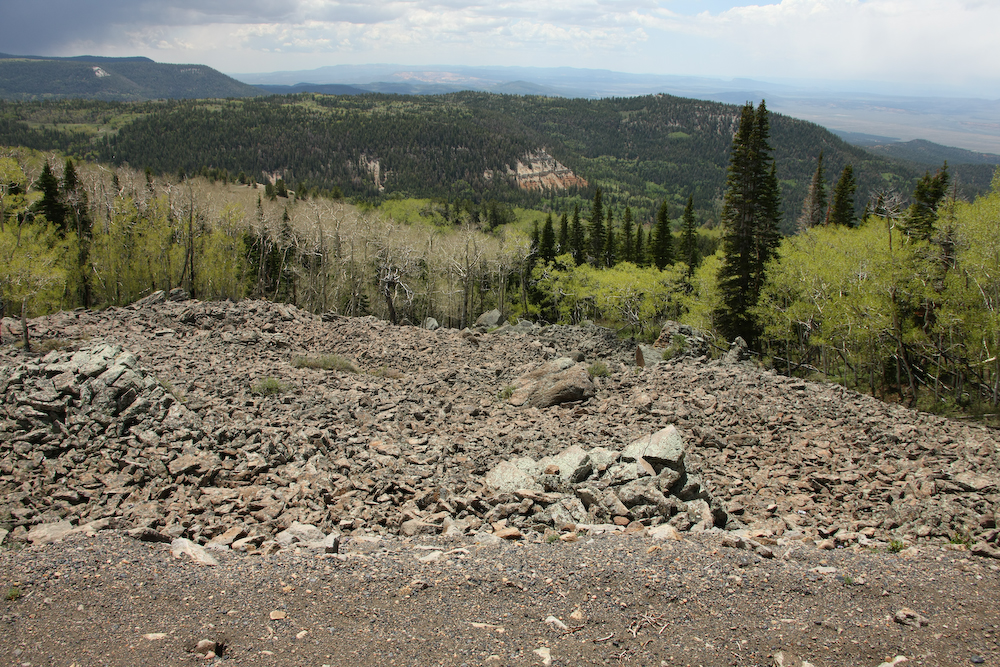
We took on a load of diesel at Ruby's Inn at the north end of Bryce and then headed north. Above, you can see the storm brewing over the Aquarius Plateau. Unfortunately, that was our destination for the night. But, as you will see below, we did not make that objective.

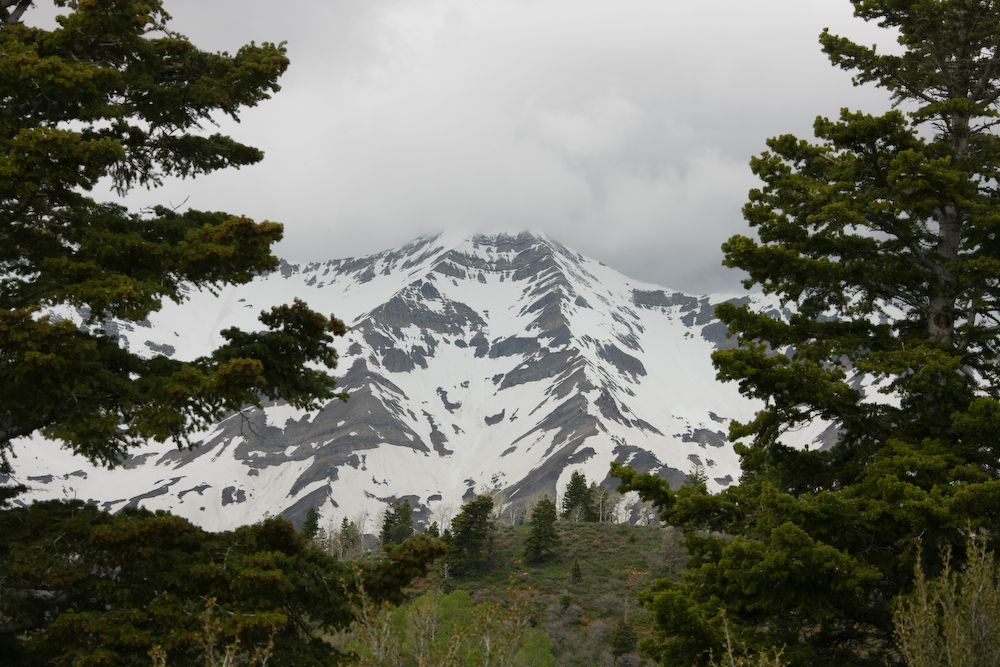
The Aquarius Plateau is flanked by some world class cliffs. The top of the plateau is 11,000 feet.
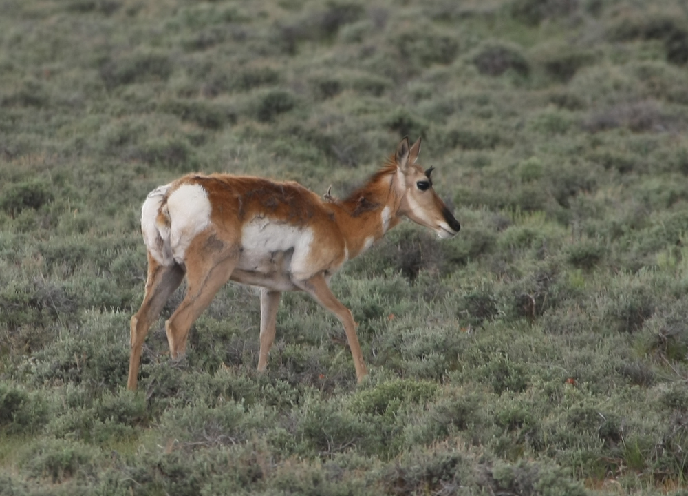
Next to the road, I spotted this young antelope. The odd patterns in the fur are due to winter coat being shed. This looks like a youngster.
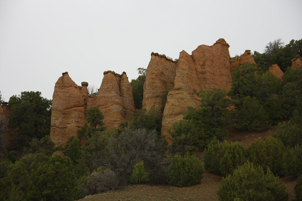
On the western approach to the plateau, we passed these hoodoos. The rain continued as we gained in altitude.
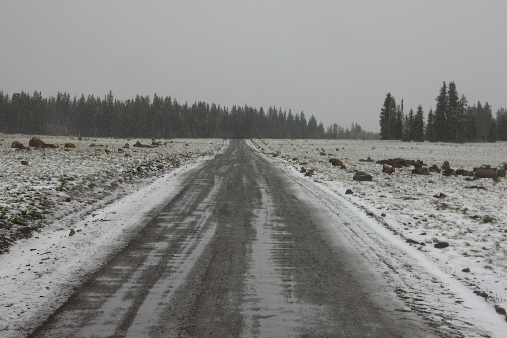
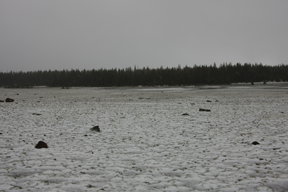
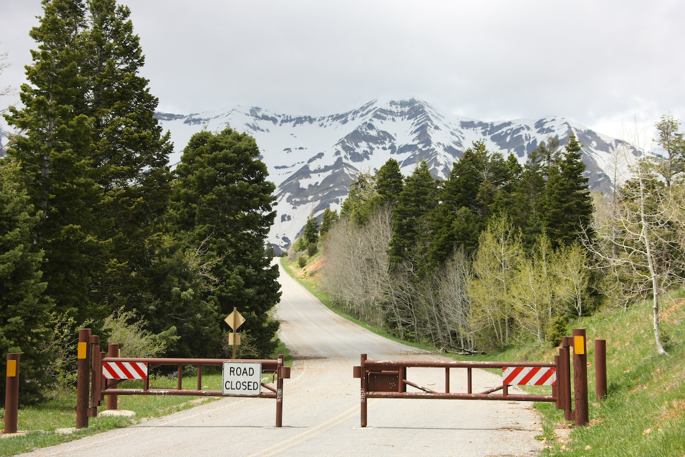
At the top of the plateau we were at about 11,000 feet and the terrain looked like the arctic. I had not planned on snow. Rain, yes; but not snow.
As we headed down the trail, my thoughts were turning to tundra and the last time we were stuck in the snow in Utah.
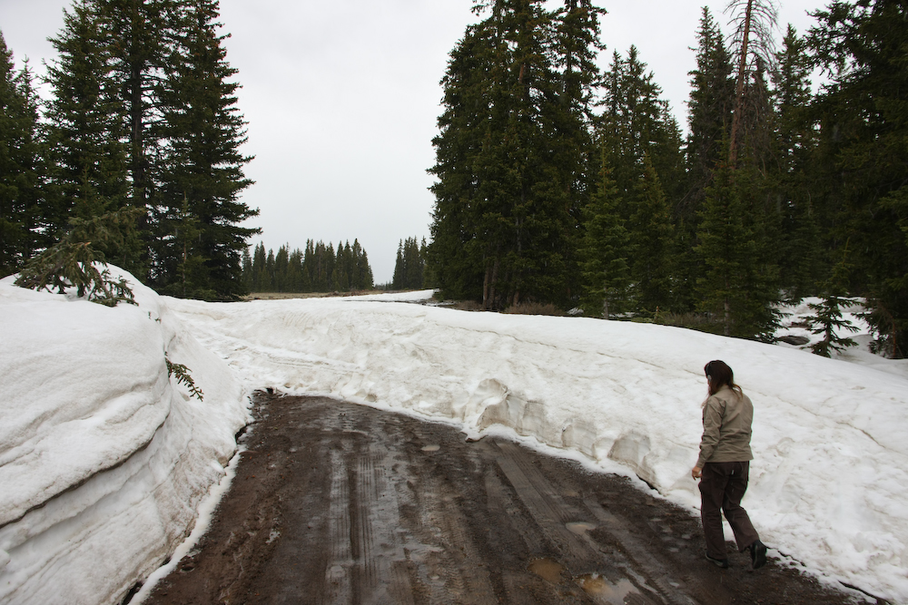
The end of the line. The trail is blocked by a 6 foot snow drift, so there is no choice but a 20 mile backtrack and change in plans. Above, Kathleen inspects the snow bank.
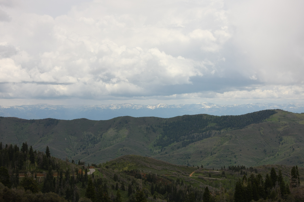
On our retreat, the weather briefly cleared up providing a nice view of the Bryce canyon area to the south of our position. Our revised plan called for heading north to Otter Lake State Park. But, when we got to Otter, it was totally packed with campers. Being Memorial Day weekend that was not surprising, but the ambiance was unacceptable, so we continued on to a remote camp in Box Canyon 40 miles to the north.
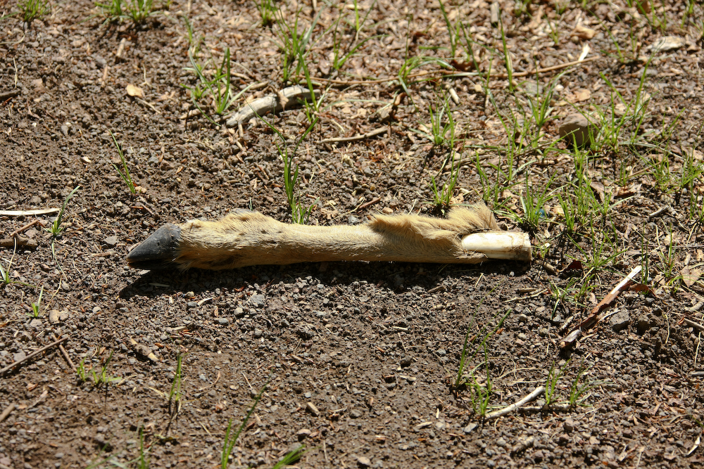
Oh dear, it's a deer! When we finally chose a camping location, I found this sawed off deer leg near the fire pit. This was clearly left over from a butchering session the previous hunting season.
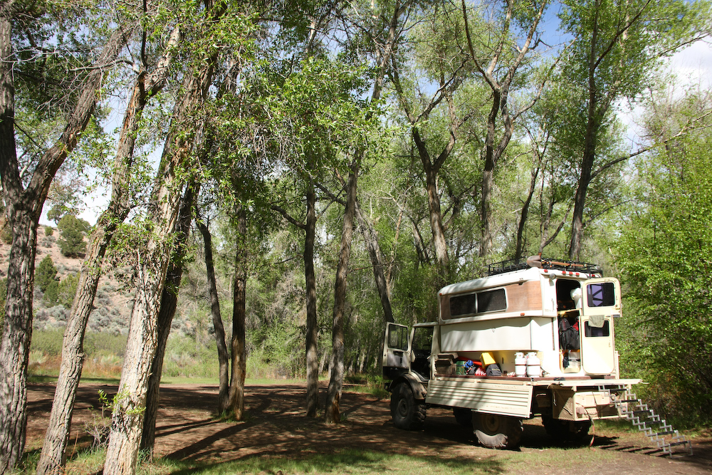
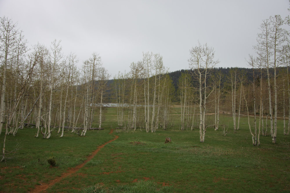
We found a nice flat spot by a creek with a small waterfall. Plus, best of all, we were all by ourselves.
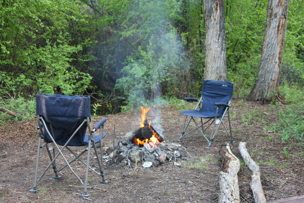
We bbq'ed some pollo asado and then hung out by the fire until bed time. It did rain a bit, but not very much.
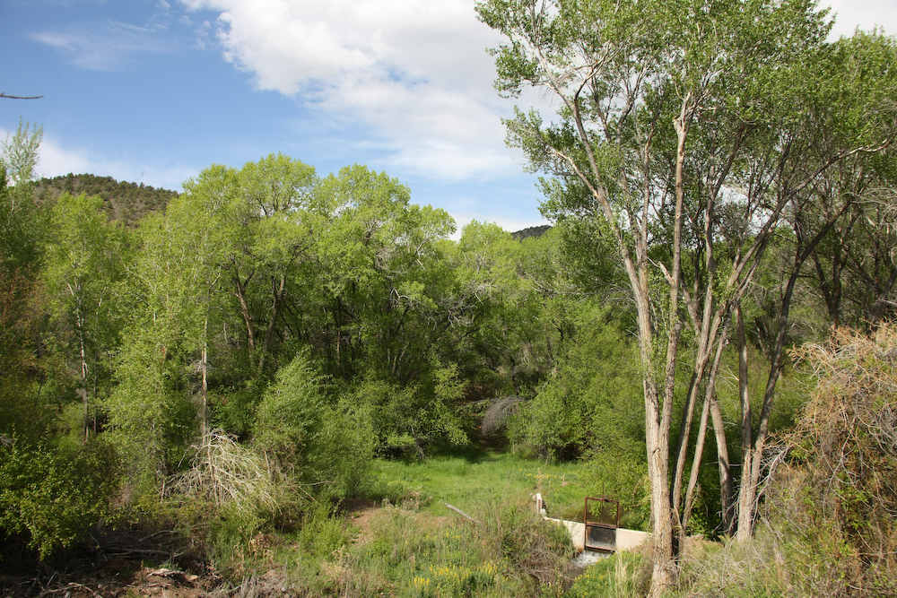
On our way out the next morning, we passed a small dam that is used to control the flow of water in the creek for benefit of the farms down in the valley.
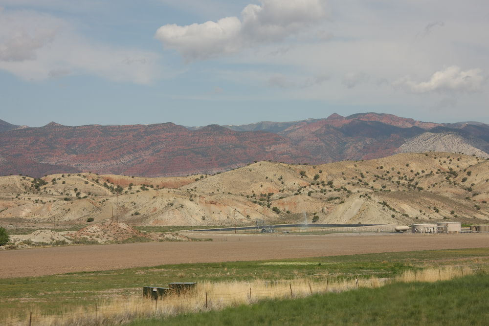
Around Salina we came upon some oil pumping infrastructure.
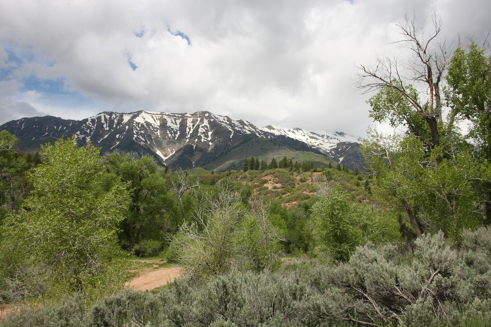
We continued north to the Wasatch range and then attempted to take the Nebo scenic loop. The southern flanks of Mt. Nebo are shown above.
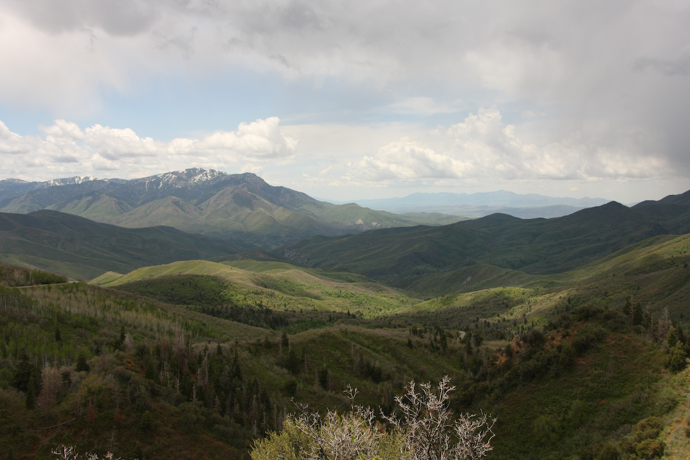
From the ridge on the scenic drive, we had a nice view to the south.
End of the line -- again. We were really too early in the spring for this route.
The nearly 12,000 foot Mt. Nebo is visible between the trees.
The high country of central Utah was visible to the east of the Nebo loop.
The Devil's Kitchen area had cool hoodoos.
After we encountered the closed road at Nebo, we decided to head to the low lands. We decided that we should find a motel with an internet connection so we could post photos and check email. Along the way, we encountered a Cabela's store in Lehi, UT so we had to stop in. We only bought a "few" things, but the place was a mad house so we cut our visit short and found a motel in Lehi. Tomorrow, we will head to Timpanogos Cave and check things out.
| Previous Adventure | ||
| Trip Home Page |
Photos and Text Copyright Bill Caid 2009, all rights reserved.
For your enjoyment only, not for commercial use.