We spent a great night in the camper. Kathleen cooked salmon fillets and rice with a tossed salad . Later, we made popcorn and watched a DVD. The plan for the day was to leave the Willow Springs area, head down Goler Wash, travel north along the Panamint Dry Lake and head north to Furnace Creek with a few stops along the way. The photos below are what we saw.
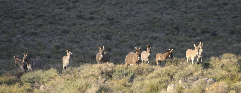
The previous night, I heard braying from the hills close to our camper. Wild donkeys are known to freely roam through the park. Next morning, the presented themselves as they went past the camper to the spring. The were more curious than afraid. Note the broken ear of the 3rd from the left.
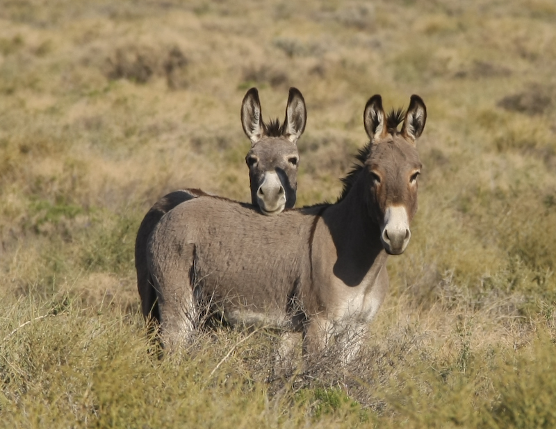
This pair mug for the camera.
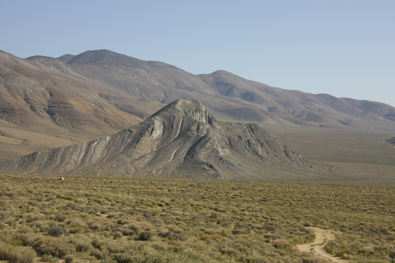
Striped Butte in the morning light.
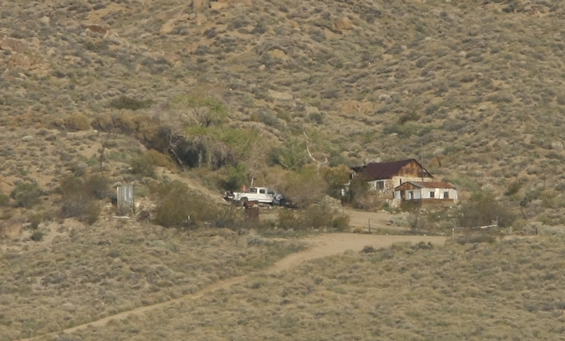
There were several old houses and cabins in the valley. This one was across Butte Valley from our position. Each cabin was next to trees indicating a spring or water source. This is a basic accommodation; note the structure on the left.
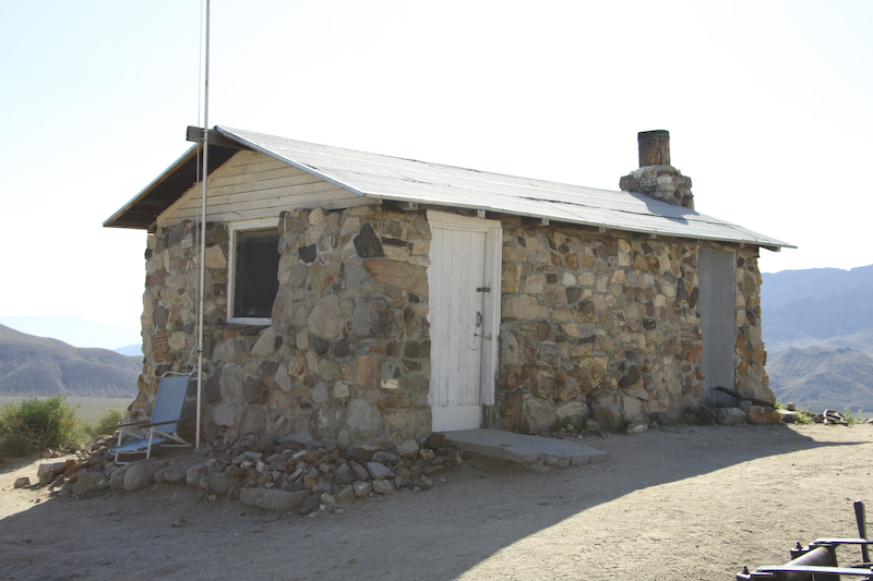
These cabins were available to sleep in. The only requirements that the owner's had were that you left it a bit better than when you found it. I think that out here, folks are seriously thankful for any place to hide when the weather is bad, so the place was in great shape.
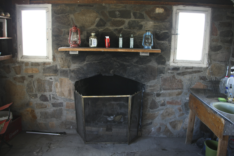
Inside, we found a clean floor and fireplace. The room had a sink for washing and preparing food. There were plenty of cooking tools.
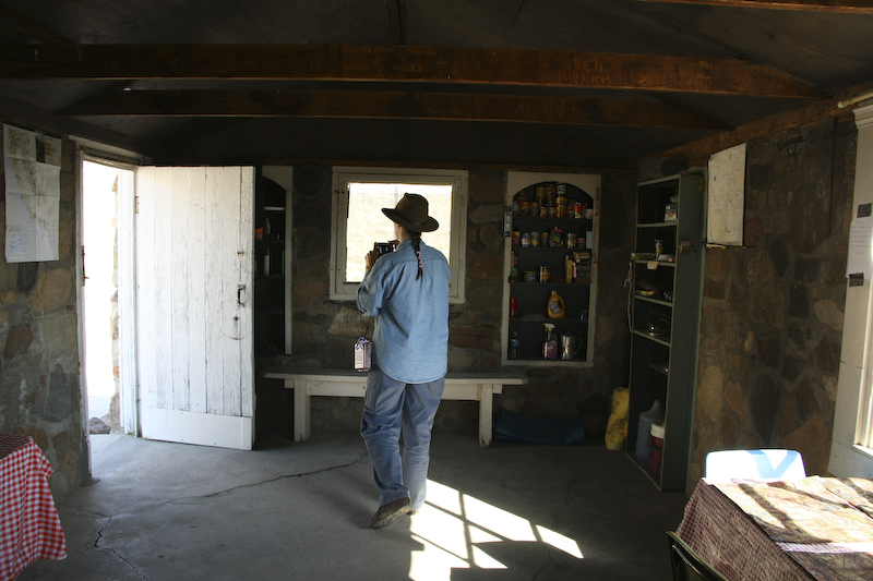
The other end of the room had a bench, a cache of food and paperback books. The cleaning tools such as brooms and dust pans were behind the door.
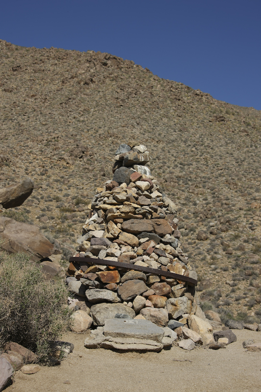
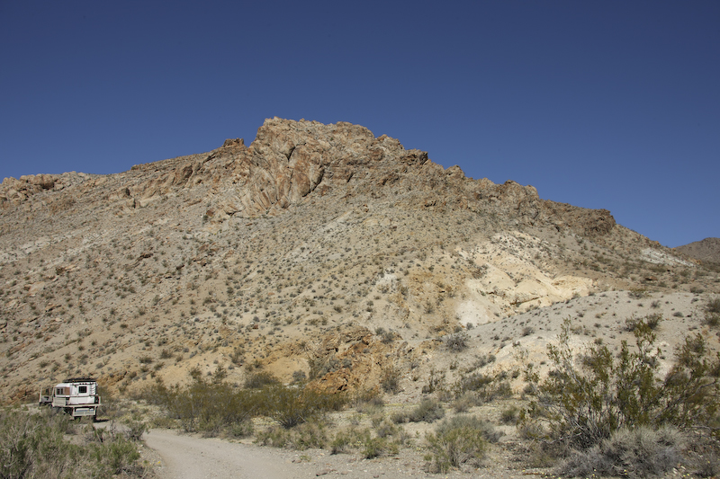
Mengel Pass was reasonably rough and had some big rock fields. The mog had no problem, but later in the day I would learn from the hotel clerk that their rig would not make it over the pass and had tried to do so on multiple occasions. That would suck as the backtrack path would be very long. The close way out is over the pass. The apex of the pass had a monument to Mr. Mengel complete with a granite foot stone. The ring around the cairn is the hoop from a wooden wagon wheel.
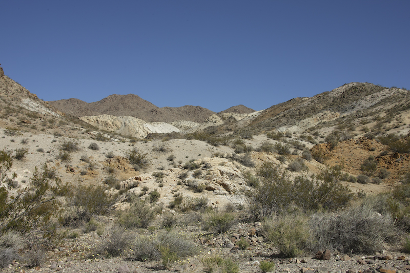
Past the crest of the past, the mineralization in the rocks became more colorful.
We entered the upper reaches of Goler Wash.
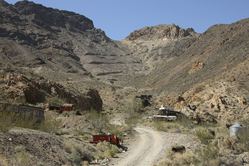
There were many abandoned mines in Goler Wash. The mine roads are clearly visible on the distant hillside.
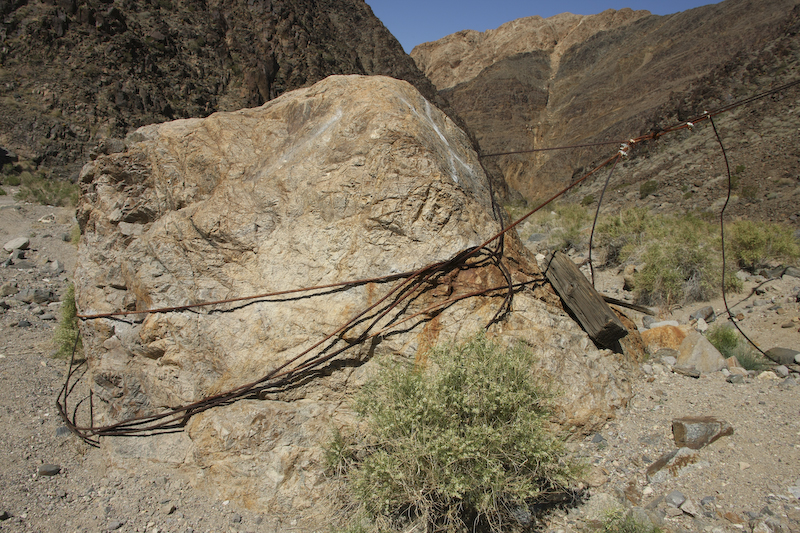
A number of the mines had cable ways established for moving supplies up the hill and ore down the hill for processing. On the way down Goler Wash, we passed the area where the FBI was digging for additional remains from the Charlie Manson killings. Sadly, the path to the dig went through a grove of cottonwood trees and the passage was too low to allow the mog to go through. So, we just went on.
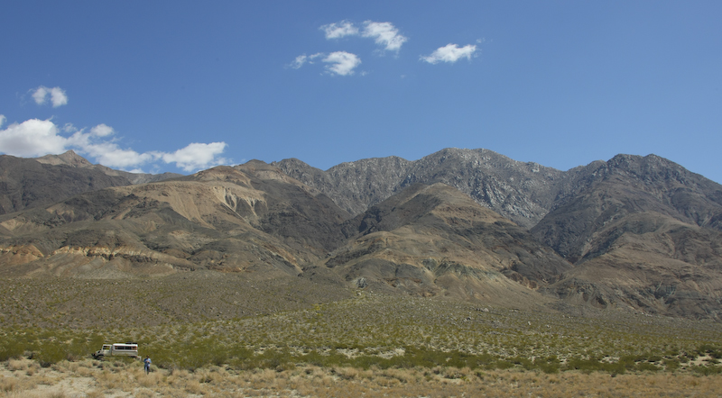
At the base of the Panamints, we turned north along the mountain front. Here, the mineralization in the hills is clearly visible as the light colored patches on the mountain.
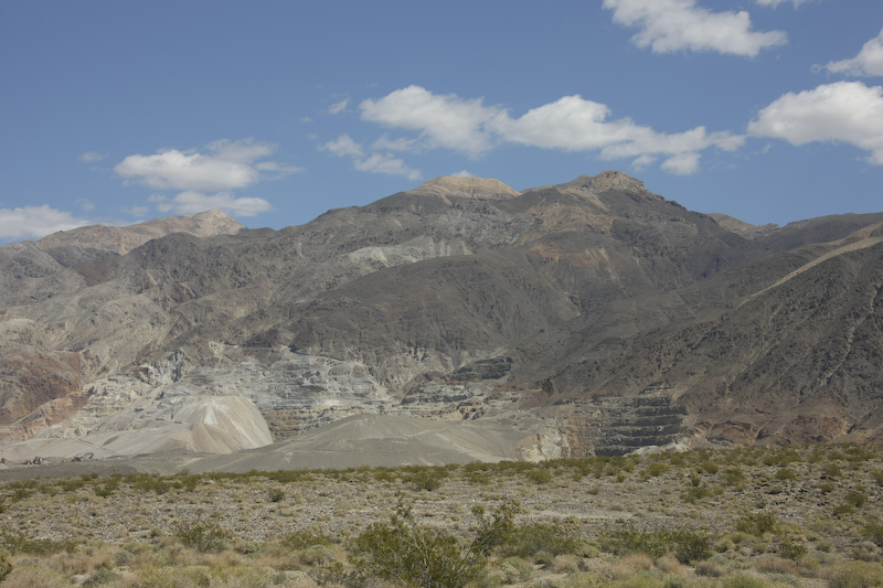
North of Goler Wash was a large operational mine. They had chewed up a big part of the hill. Sadly, I do not know what they mine.
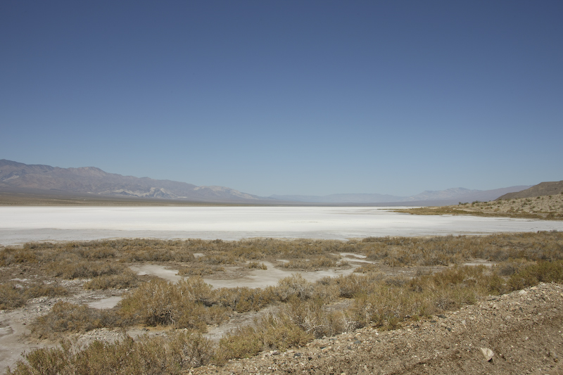
From our position, we had a clear view of the Panamint Dry Lake. The eastern edges, however, were not dry. There were springs at the base that flowed into the lake resulting in a marshy area.
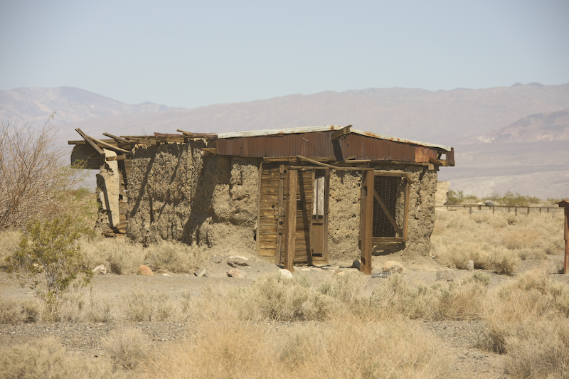
An abandoned structure at the ghost town of Ballarat.
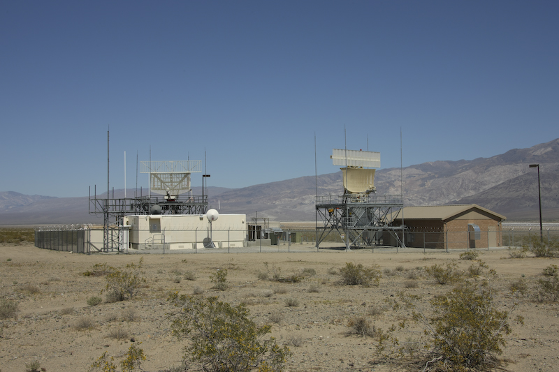
From the very old, to the very new. Within a mile of Ballarat, the Navy had installed an air combat radar system. The entire airspace above Death Valley and many valleys to the east are used by the military for training. Both China Lake and Nellis AFB use the space. We had over flights all day and heard the jets all night as well. In some respects, it was noisier that ever our house near the Miramar MCAS.
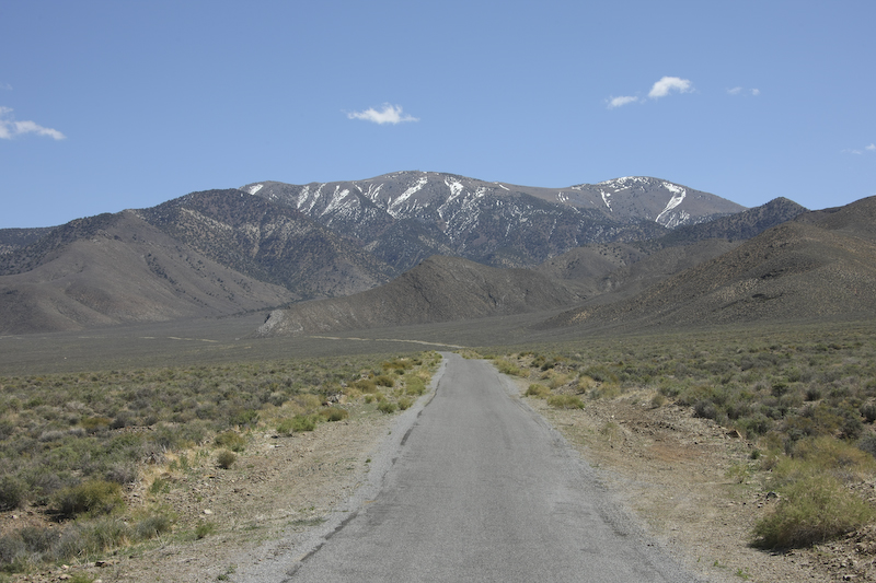
From Panamint Dry Lake, we headed up Wildrose Road to the charcoal kilns and Mahogany Flat view point. Here, Wildrose Peak still has some snow.
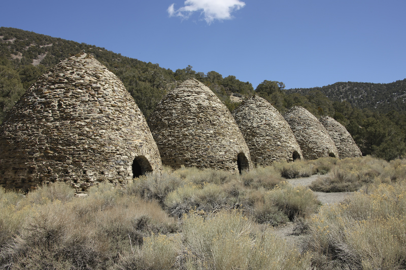
The charcoal kilns were used in the late 1870s to produce charcoal for the nearby smelters in the Panamint Valley. A load of charcoal took nearly 2 weeks to stack, burn, cool and unload.
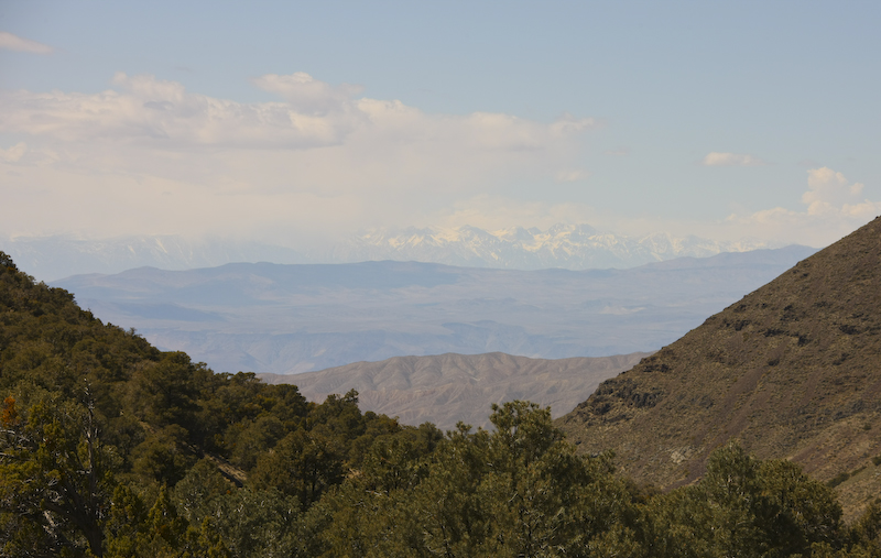
From the kilns, we had a nice view of the Sierra Nevada range to the west. Being higher, the Sierra had plenty of snow.
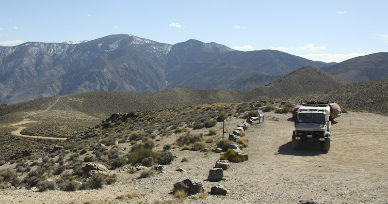
At the top of a several mile, steep dirt road is the Mahogany Flats campsite with awesome views of Death Valley. This camp is the highest in the park and is at 8133 feet (2470 meters)..
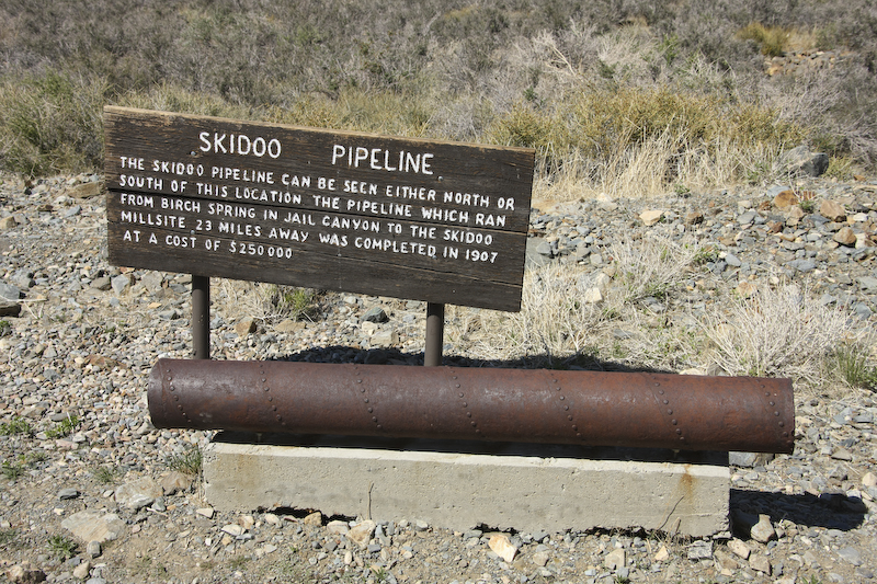
On the way back, we saw more evidence of the mining activities of days past. Water in these parts is scarce. Note that they pumped the water 23 miles to get to the goal.
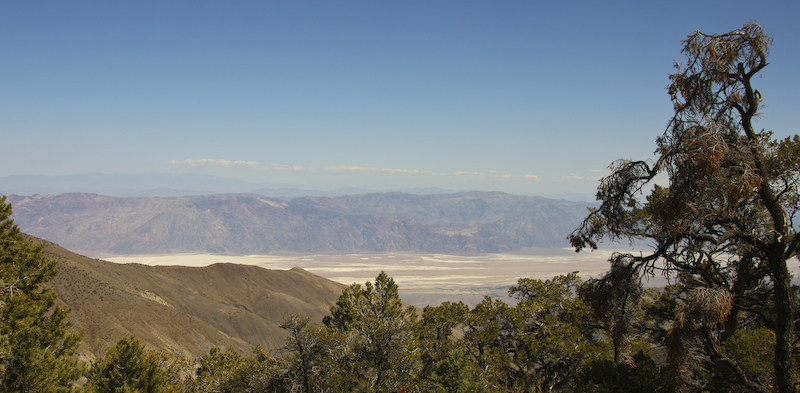
From Mahogany, we went to a Aguereberry Point that provided a wide panorama of the geology of Death Valley. Note the bending of the beds and the general steepness of the beds. Altitude here is 6433 feet.
From Aguereberry Point, you could clearly see the 11049 foot Telescope Peak to the south. Mahogany Flat is the ridge to the north (right) of the peak.
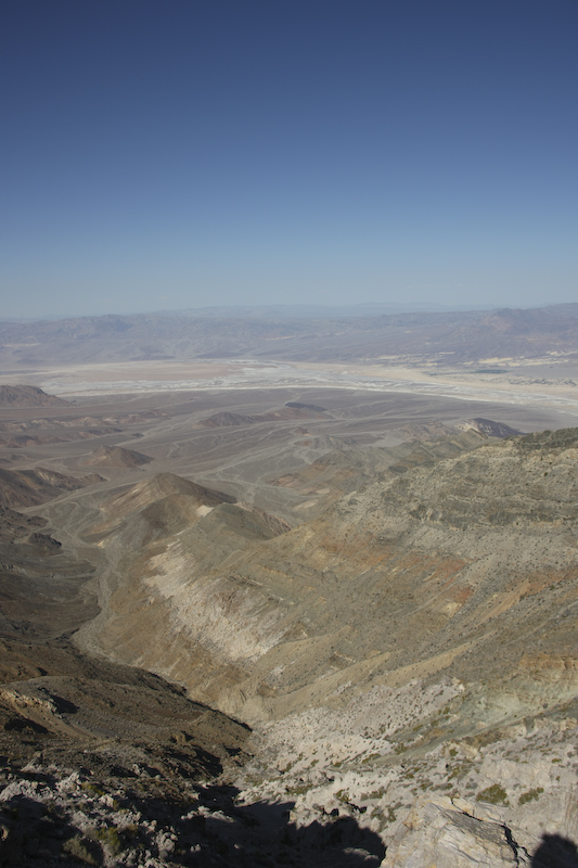
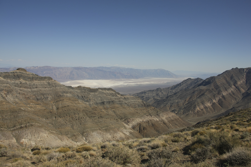
To the north, the far reaches of Death Valley were visible.
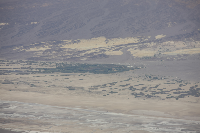
The green area in the center of the photo is Furnace Creek, our destination for the night. We hoped to get a room in the 4 star-rated Inn at Furnace Creek and were actually able to get a room without reservations. But, we were lucky; if you go, call ahead. We did not because there is no cell service in the Panamint canyons.
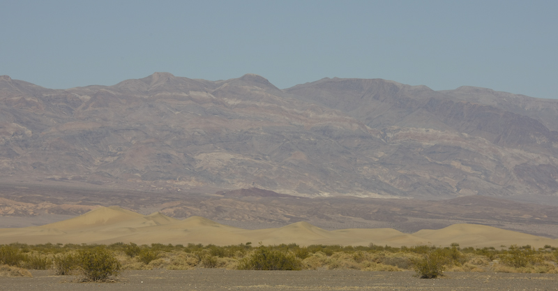
Sand dunes near Stovepipe Wells.
Yet another great day. The trip over the pass was pretty easy for the mog and the views were stellar. The side trips to Mahogany Flat and Aguereberry Point were the highlights of the entire trip. Tonight, we would stay at the Furnace Creek Inn and eat in their dining room. The food was very good and they did have a respectable wine list at "reasonable" prices (considering location). The following day we would see the local sights in Death Valley and stay at the Inn again.
| Previous Adventure | ||
| Trip Home Page |
Photos and Text Copyright Bill Caid 2008, all rights reserved.
For your enjoyment only, not for commercial use.