We had a great night at Guadalupe canyon. The tri-tip steak was great as was the hot tub and liquor. What could be better? We slept in pretty late then got up to eat, pack and check out the main canyon.
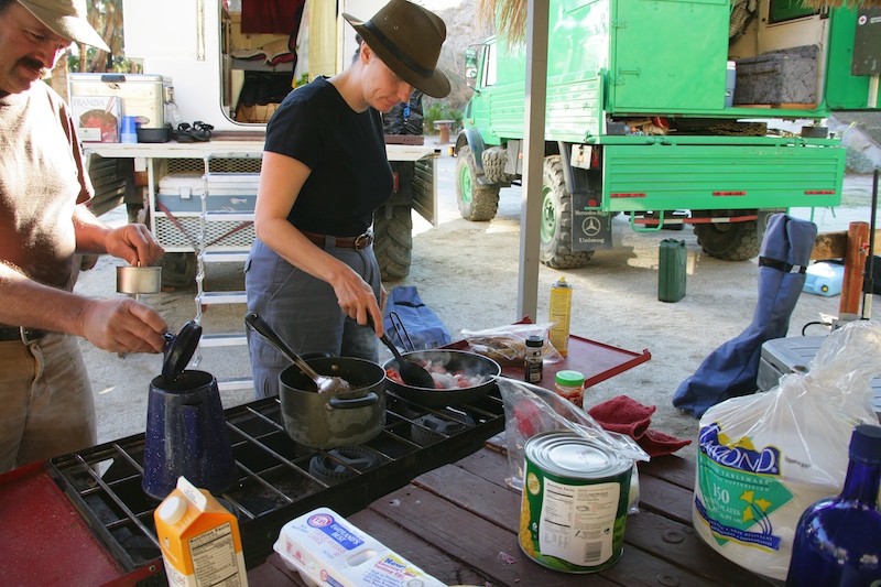
Kathleen prepares chili verde, eggs and sauted veggies for breakfast. Kai works the coffee pot.
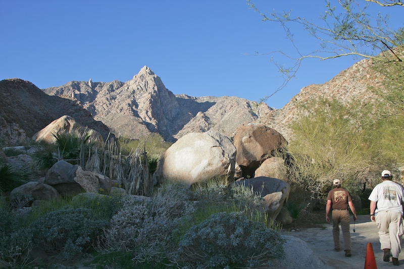
After eating, we decided to hike up the canyon to the waterfalls. Here is our first clear view of Pico Guadalupe on our hike up.
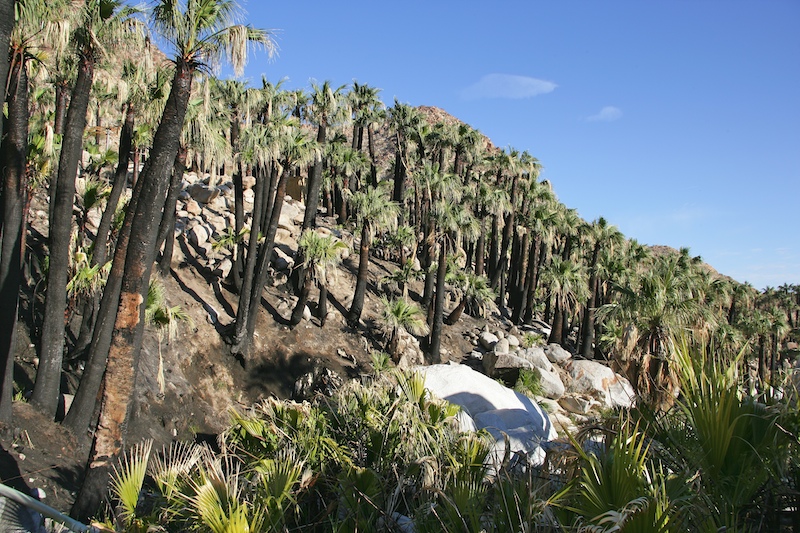
The fire damaged most of the palm trees in the canyon. That said, palms are pretty hardy and appear to have survived the ordeal.
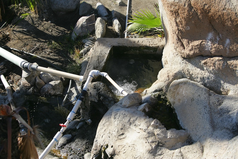
This is the actual hot springs. The exit hole for the water is quite small, perhaps 3 inches in diameter, but the water flows fast and hot.
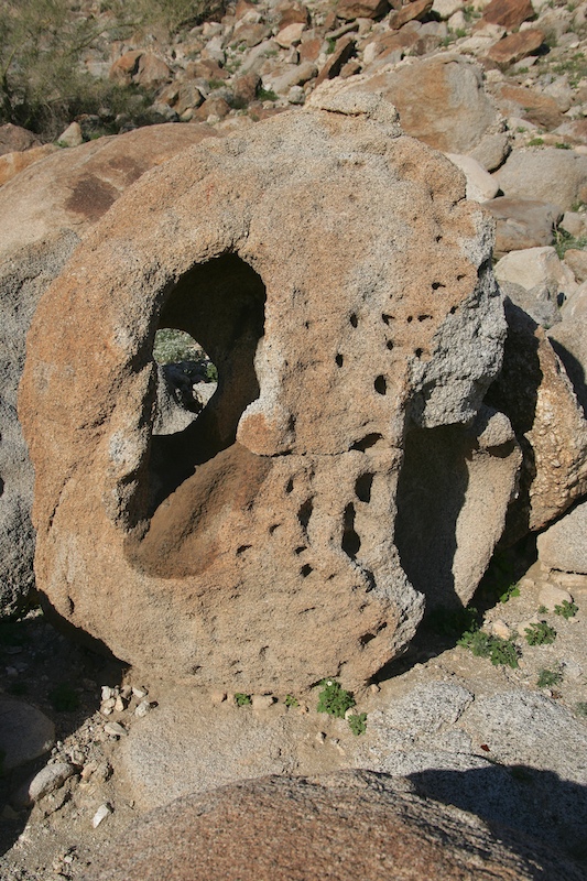
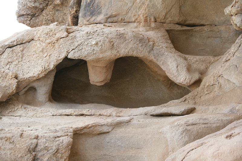
Near the hot spring, we spotted this odd, wind-eroded rock.
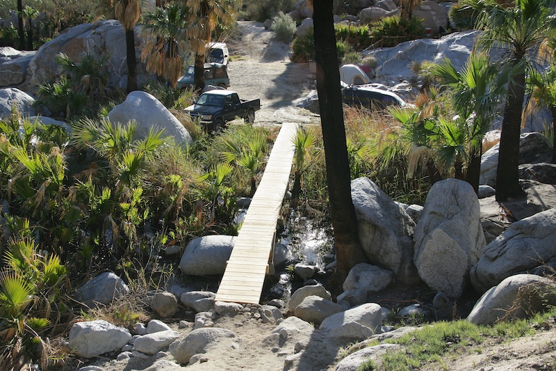
The owners of the camp have worked hard at improving the facilities. Here is a view of the new bridge over the cold creek.
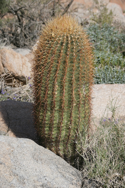
A small sahuaro cactus.
There were many flowers blooming in the canyon.
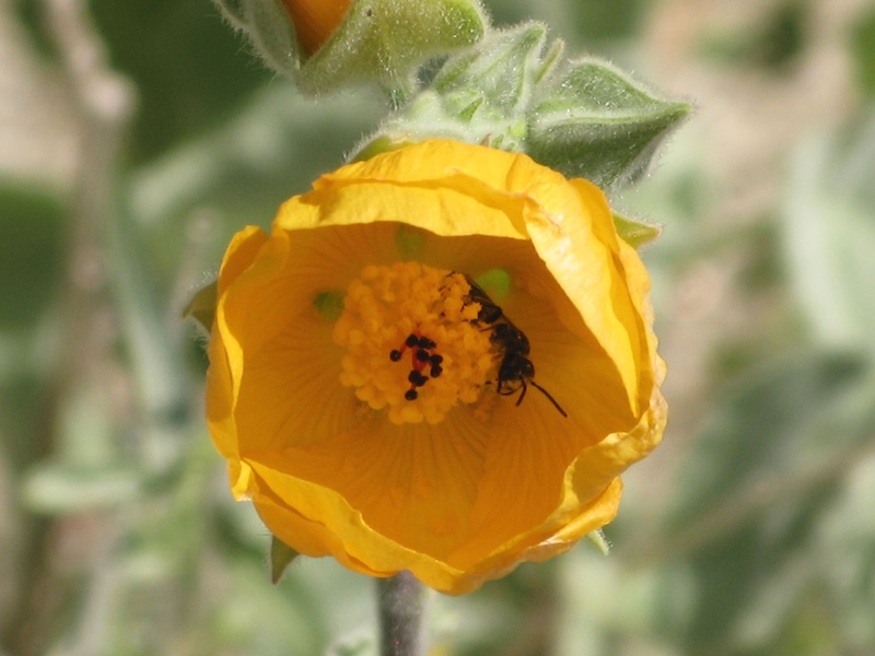
Insects busy gathering pollen from the flowers.
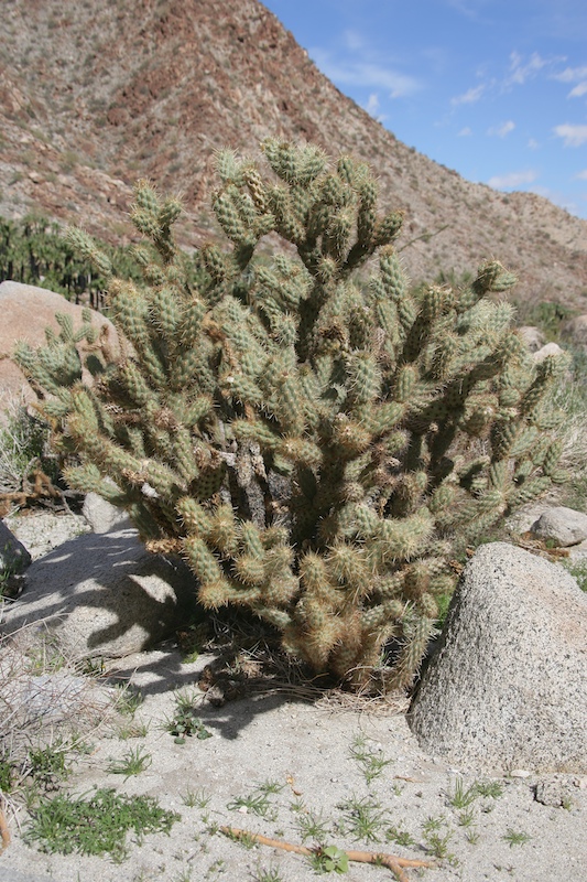
Cholla, bane of the desert.
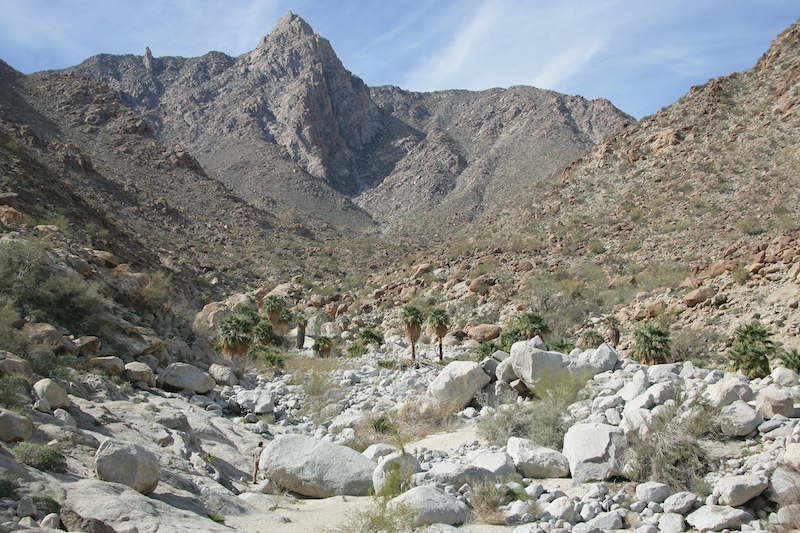
Kai rounds a boulder on our way to Las Cascadas (the waterfalls). Pico Guadalupe is in the background.
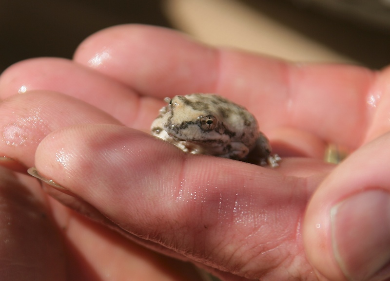
We spotted a camouflaged frog in the creek. His markings look just like the decomposed granite sand in the stream bed.
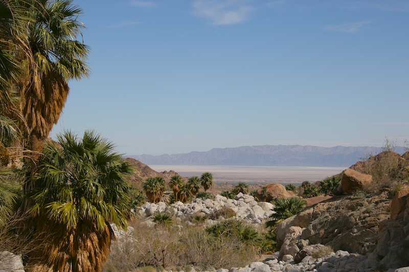
A view of Laguna Salada from high up Guadalupe Canyon.
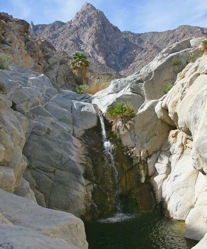
Our first view of the lower waterfall. Very nice, but the water is very, very cold.
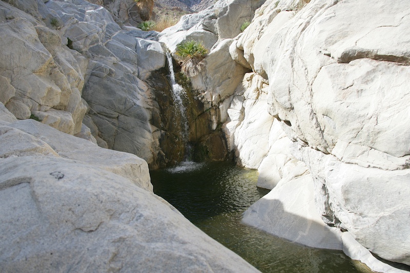
The waterfall has a nice, deep pool at the bottom which is a great swimming area in the summer.
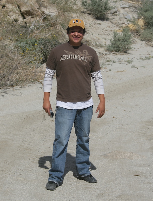
Adam, the owner's son, was waiting for us to take photos of the unimogs.
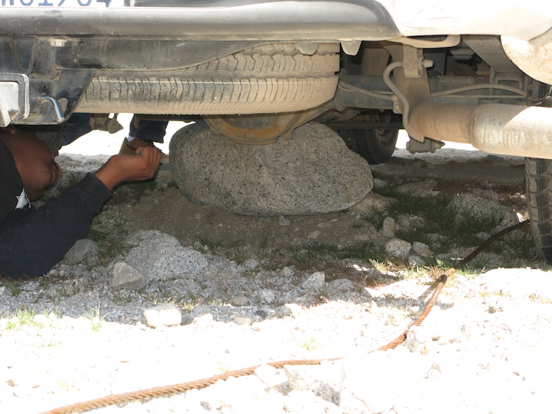
On the way out of the canyon, we passed a family that had high-centered their pickup on the rear differential. We offered to help.
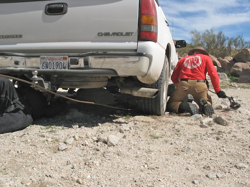
The plan was to wrap my winch cable around the boulder and pull it out from underneath the differential. The plan worked like a charm and nothing was damaged on the pickup. Here, I throw the hook and cable underneath the pickup.
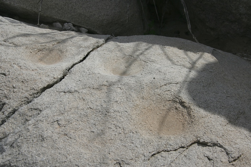
Some indian morteros, or metates, near the mouth of an adjacent canyon.
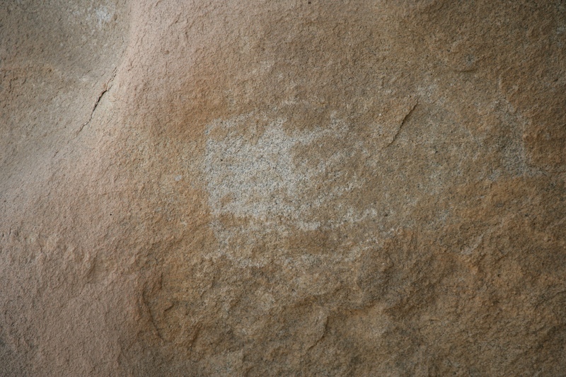
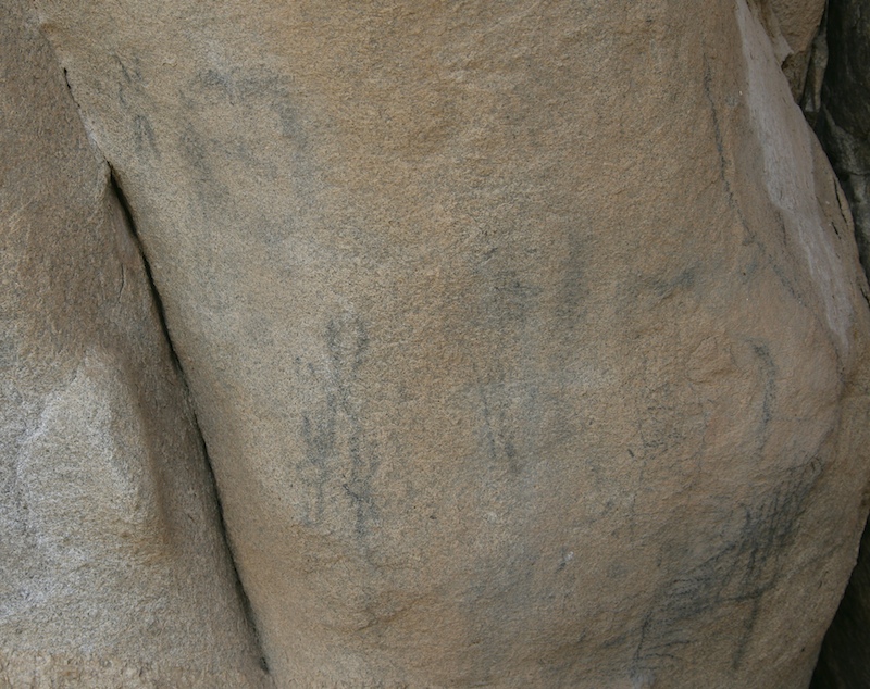
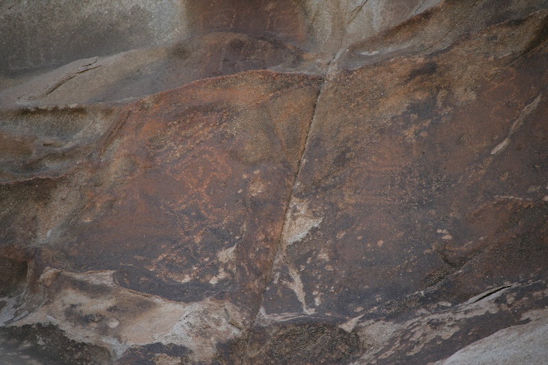
We spotted this set of petroglyphs near the metates.
The wind and sand had eroded fantastic shapes into the rock cliffs.
More petroglyphs on the rock.
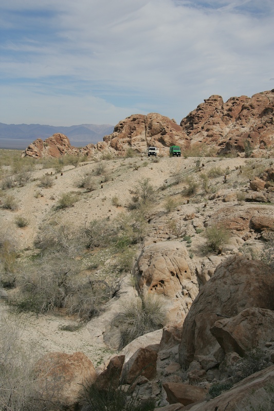
A view of the trucks from the petroglyphs. They were not easy to find.
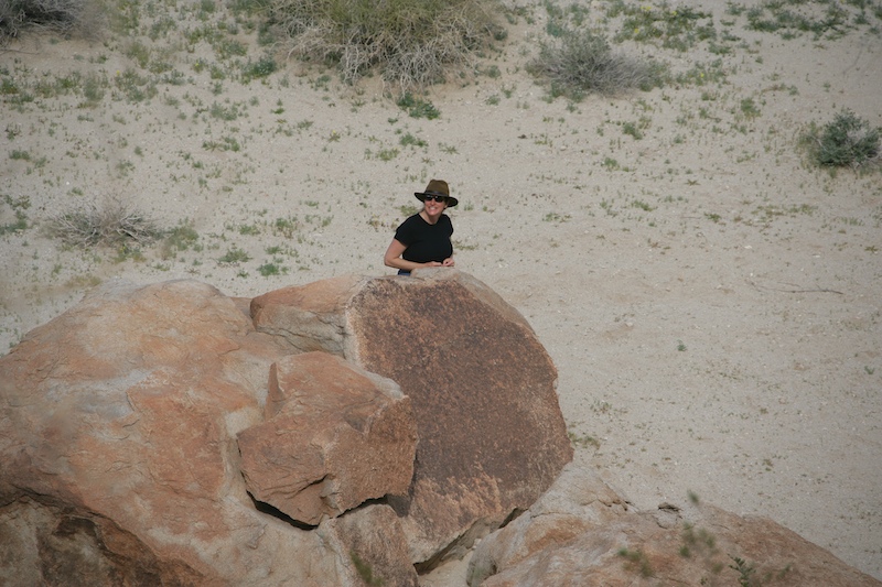
Kathleen hunting for rock art.
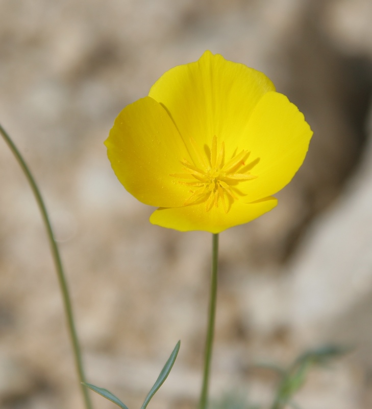
More nice flowers in bloom.
I spotted these petroglyphs high up on the boulders. Note the square design on the right and the men on the left. There are also more square designs near the top of the photo.
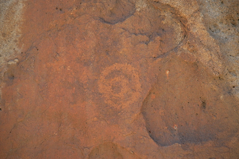
At another site further into the canyon, I found this design.
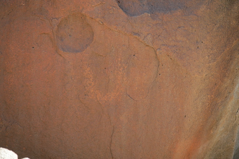
Underneath the concentric circles, I spotted this "U" shaped design.
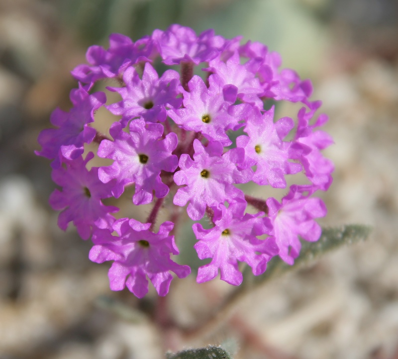
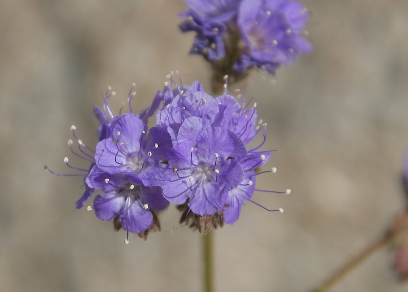
More nice purple flowers. When we finished looking for petroglyphs, we boarded the mogs and headed north across Laguna Salada to MX Hwy 2 and then up the scary La Rumorosa grade to the border crossing at Tecate.
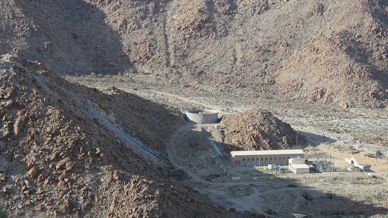
One of the mid-slope pump stations that serves the Tijuana aqueduct.
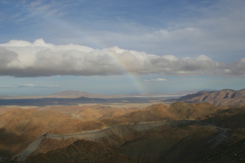
The winds approaching the top of La Rumorosa grade were fierce. There were dense clouds and rain near the top, but to the east you could see a rainbow due to the residual moisture in the air.
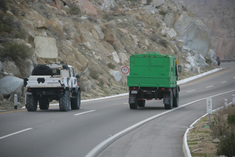
Kai chases Randy up La Rumorosa grade.
Yet another great day in Mexico. The weather degraded rapidly as we gained altitude heading over the pass onto the Tecate Divide. The rain was heavy and the winds were strong. At one point, both Kai and I added diesel to our tanks so we could complete the trip. When I got back into the cab, I was wet and cold. The balance of the trip was uneventful despite the reduced visibility of the clouds and fog. Happily, the wait at the Tecate border crossing was short and soon we were back at our house in San Diego.
| Previous Adventure | ||
| Trip Home Page |
Photos and Text Copyright Bill Caid 2008, all rights
reserved.
For your enjoyment only, not for commercial use.