The objective of the day was to get from our camp at the organized camp ground in Los Pinacates to a suitable camp on the beach north of Puerto Penasco (PP). We decided to get lunch in PP since it is much easier than having to set up and make lunch. We also got ice and diesel (in addition to many stares from awe-struck local four-wheelers).
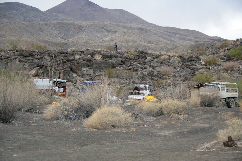
Larry inspects the campsite in the daylight. Volcanic craters are visible in the background.
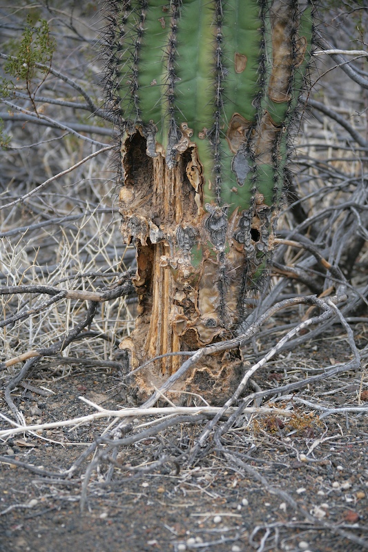
Nearly every plan in the desert is armored in some way, usually with thorns. But, even with thorns, the plant is not assured of survival. Here, a saguaro has been eaten by an animal despite the protective thorns. While the plant is still alive, if enough is eaten, it disrupts sap flow from the roots and kills the plant.
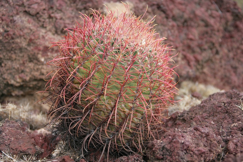
Red barrel cactus.
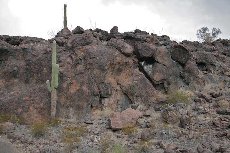
Saguaros on the lava.
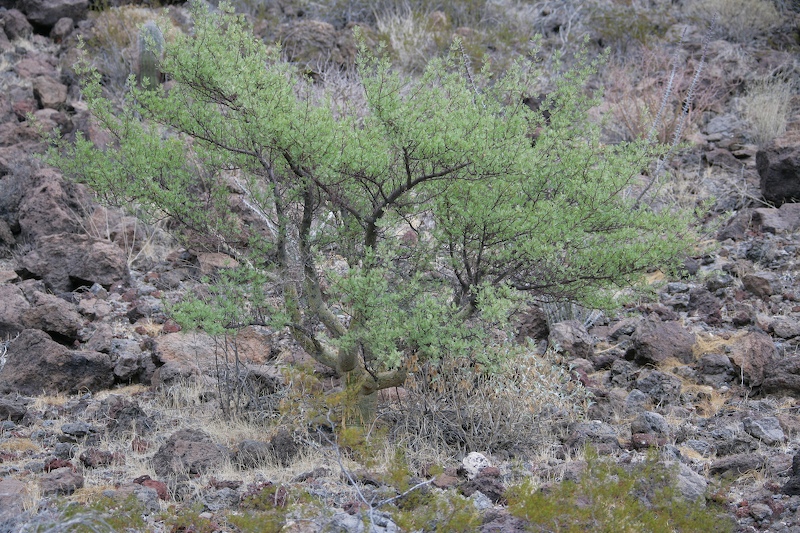
Elephant tree.
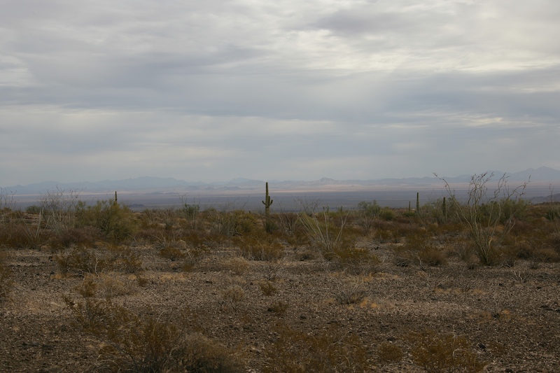
A view of the bajada to the east of the organized camp site.
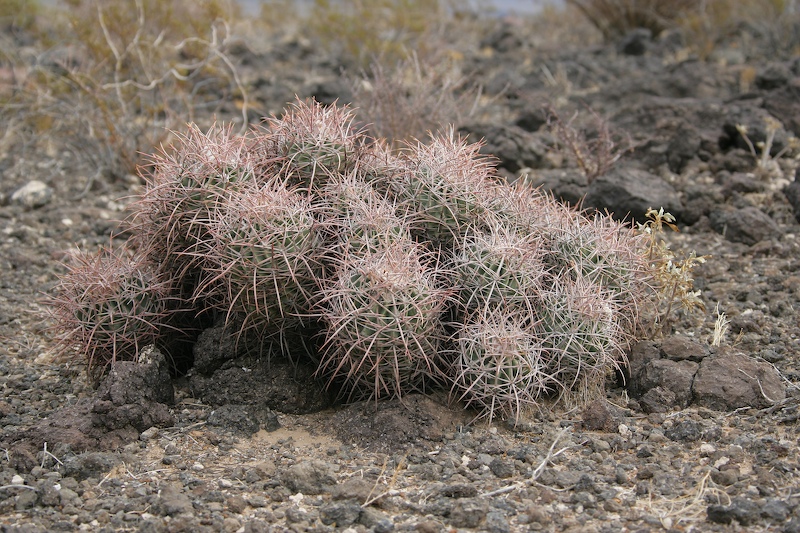
Hedgehog cactus.
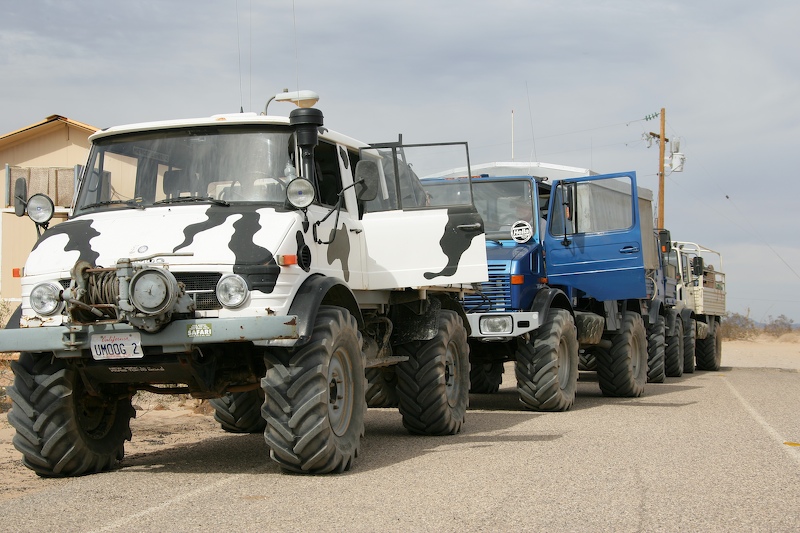
Assembling the group and airing up to street pressure on exit from Los Pinacates. Subsequent to our exit from the park, we headed south on Hwy 8 to Puerto Penasco for lunch, diesel, beer and ice.
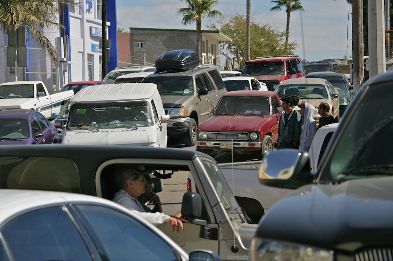
Traffic on the Malecon in Puerto Penasco outside of Flavio's restaurant was a nightmare. This was Sunday and there was a car show on the Malecon causing major disruption of the traffic flow.
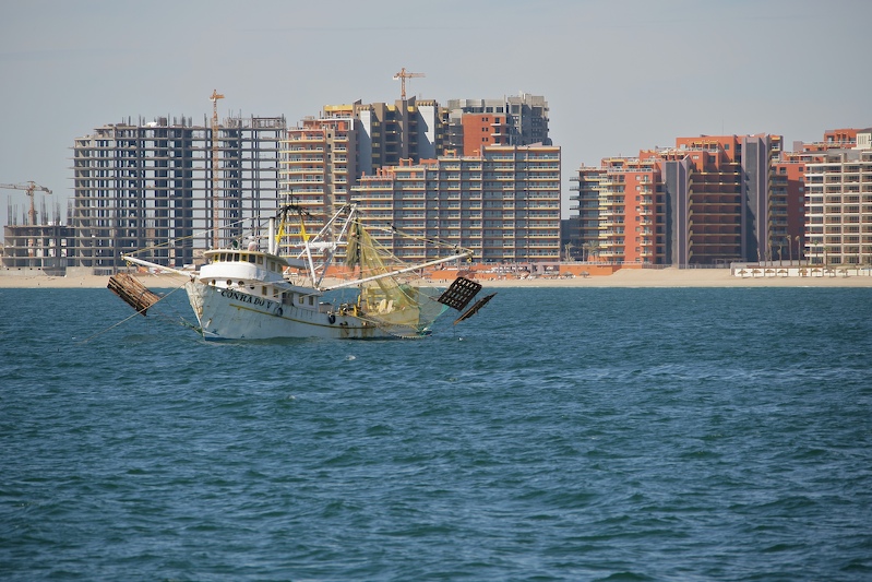
View across Puerto Penasco bay from Flavio's. New condos were springing up everywhere.
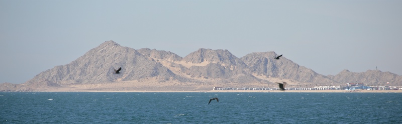
A view of the rocky point to the west.
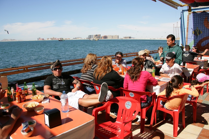
Diners at Flavio's. This was a nice place with a great view and outside seating.
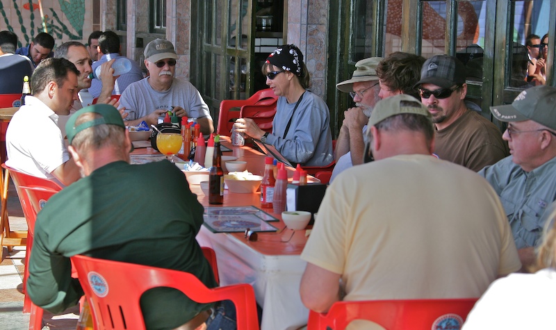
The team assembles for chow at Flavio's in Puerto Penasco on the Malecon.
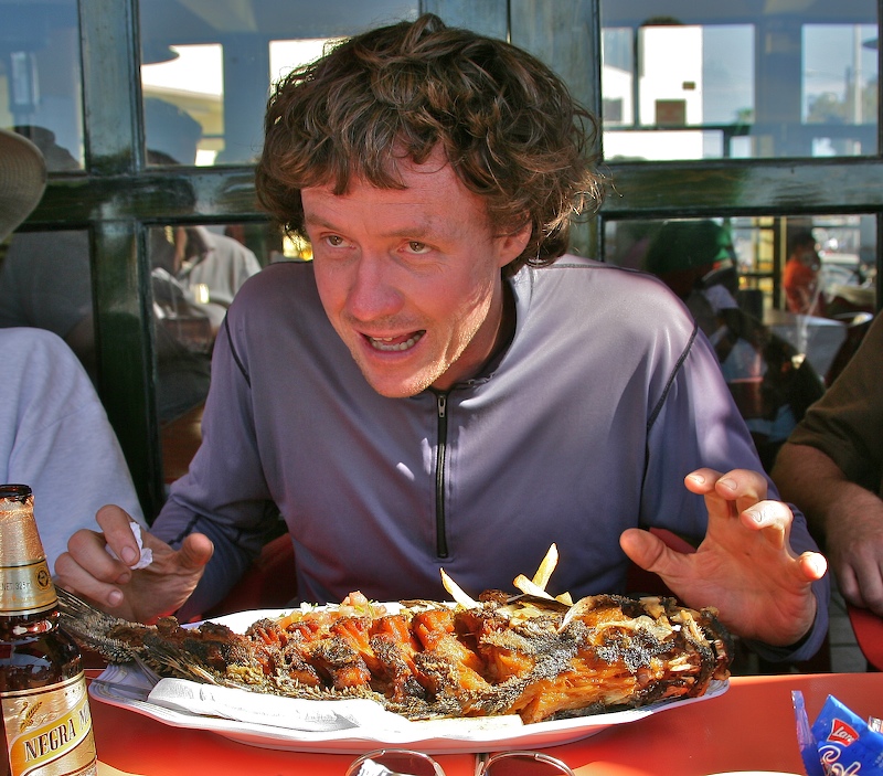
Matt prepares to devour a whole fried fish. Matt can really put away the food.
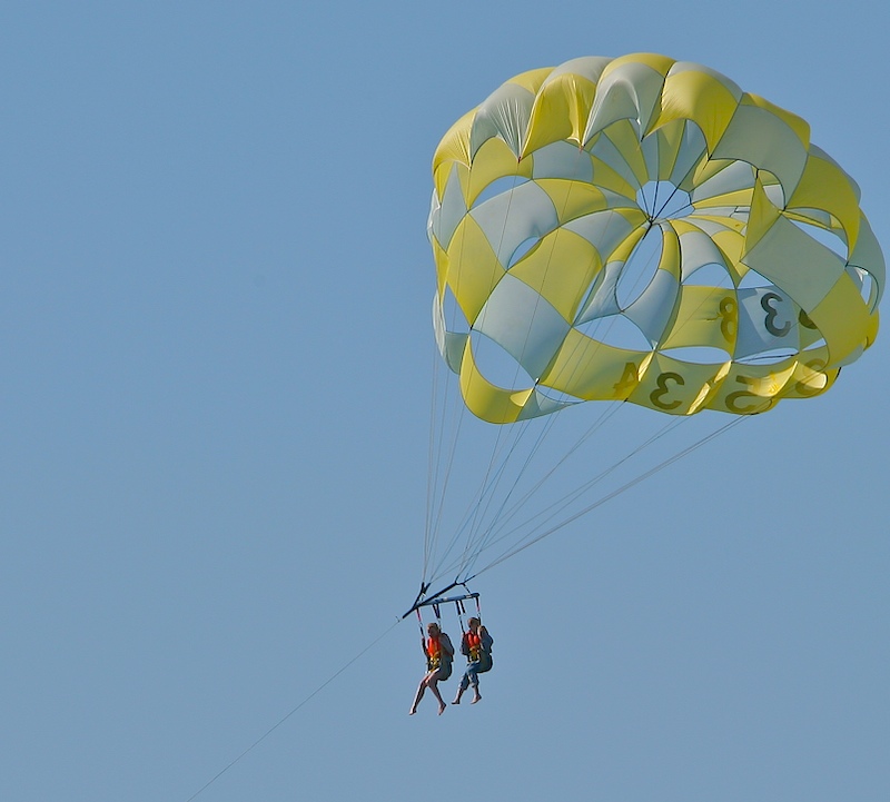
Parasailers get pulled in Puerto Penasco's bay.
After a great lunch at Flavio's, we saddled up and headed west. We were told that the best path to El Gulfo was to go north and then follow the railroad tracks. We had done this path before, so we were prepared for the excursion. However, we were not prepared to learn that the government is building a paved road from Puerto Penasco to El Gulfo that parallels the tracks. This was a sad realization as it foretold the loss of remoteness of this area upon completion of the road. I am estimating that the completion will take another year, perhaps 2 depending on the funding and motivation of the workers. RIP Altar back country adventures.
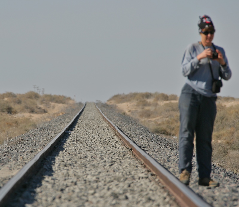
Nancy checks her camera after taking a shot down the trans-Mexico railroad that crosses the Altar dunes. We followed the paved highway until we found an area that had a path through the fence to the dunes.
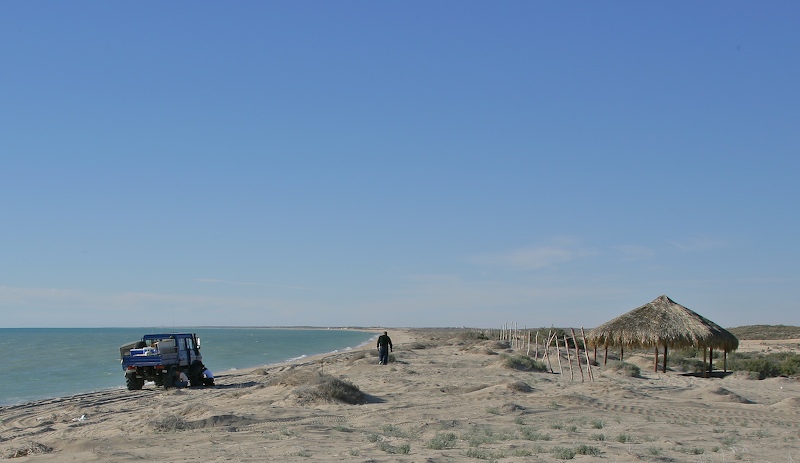
Looking for a good beach camp site. The new highway is just to the right of the right edge of the photo.
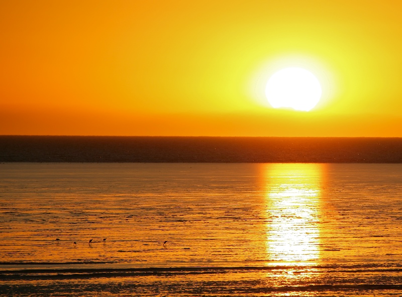
Sunset highlights birds feeding in the tidal flats. When the tide goes out, the water recedes more than a mile due to the shallow lay of the land in the northern gulf.
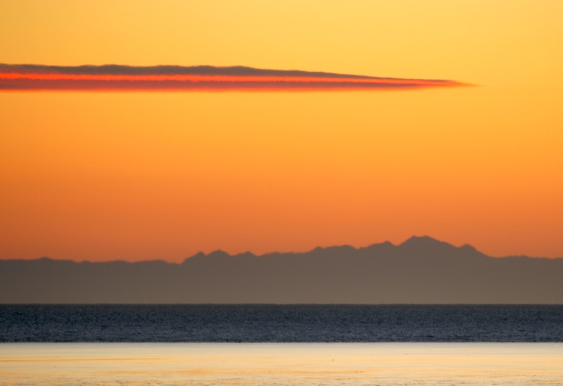
The outline of the 10,000 foot Pichacho del Diablo is clearly visible in the west at sunset. This peak is on the spine of baja and about 150 miles away across the Sea of Cortez.
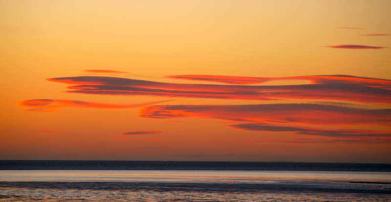
Interesting cloud formations in the west at sunset.
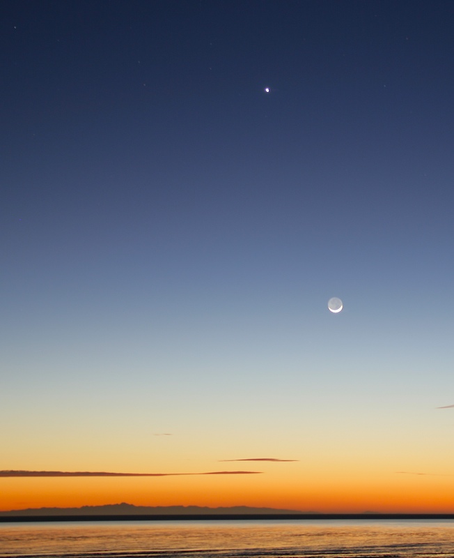
Venus and the partial moon over Pichacho del Diablo.
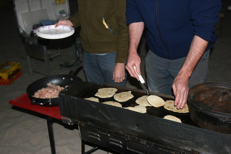
Dan made fresh Indian nan bread from scratch and then cooked it on the griddle.
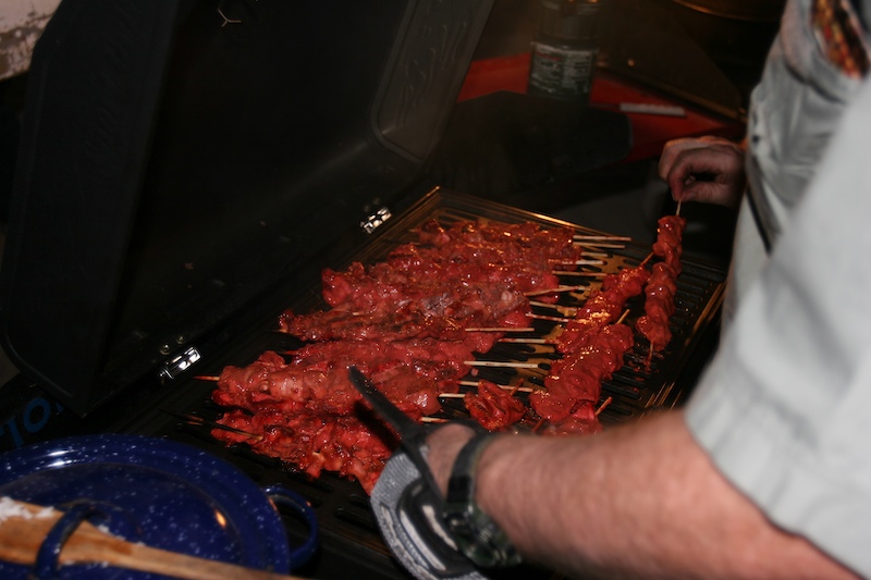
Tandoori chicken kabobs accompanied the nan and veggies.
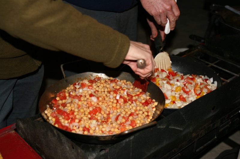
Matt and Nancy work on the side dishes.
As the night progressed, the winds grew progressively stronger. We decided that some form of protection from the blowing sand would be appropriate, so we rigged a wind block with the tables. This seemed like a good idea, but there were still passages for the wind. These passages created a venturi that sprayed sand over our bed and our faces all night.
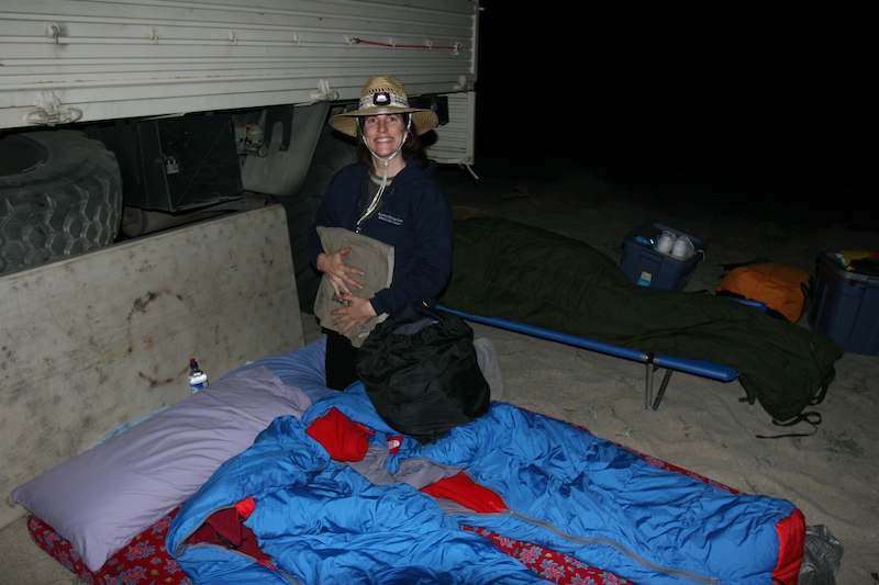
Our sleeping setup before the wind storm. We convinced ourselves that the table between the wheels would provide sufficient blockage of the wind. Boy, were we wrong. I awoke in the middle of the night with several inches of sand on my sleeping bag and covering my face.
Except for the high winds, this was a good camp. But, high wind is a deal breaker. The night was easily the worst that we have encountered in all of our Altar trips. We were estimating that the winds were a steady 30 mph, with gusts to 50. By the time the night was over, we all had sand is places that we did not even know that we had. When we awoke the next morning the camp was thrashed and sand was in all our bags and boxes. It was still cold due to the wind, but we just put on more clothes. We were careful to camp out of the tidal zone. But, what we did not account for was the storm surge. At the height of the storm, the wind-driven white caps were breaking just feet from our truck and the wind-blown spray coated everything with salt water.
| Previous Adventure | ||
| Trip Home Page |
Photos and Text Copyright Bill Caid 2007, all rights reserved.
For your enjoyment only, not for commercial use.