The photos below are what we saw.
In
the old days when film was costly and there were at most 36 shots
in a roll (and usually only 24), one carefully considered each
shot. So, there were less photos of Zion than I would have
preferred, but I made up for that in subsequent trips with digital
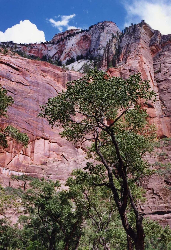
cameras. The shot above was taken from the valley floor in
Zion looking up to the rim.
The
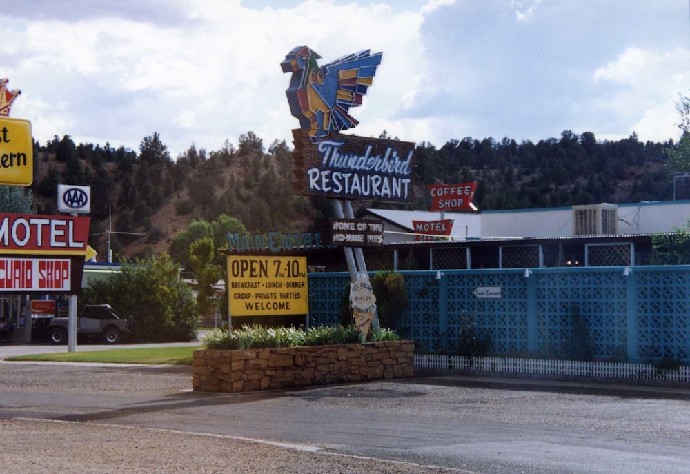
Thunderbird Restaurant is at Mt. Carmel Junction in UT to the east
of Zion. The interesting thing is the sign: "Home of the
Ho-made Pies". I went inside asking if I could meet the ho,
but all I got were dirty looks and an encouragement to "move
along".
From
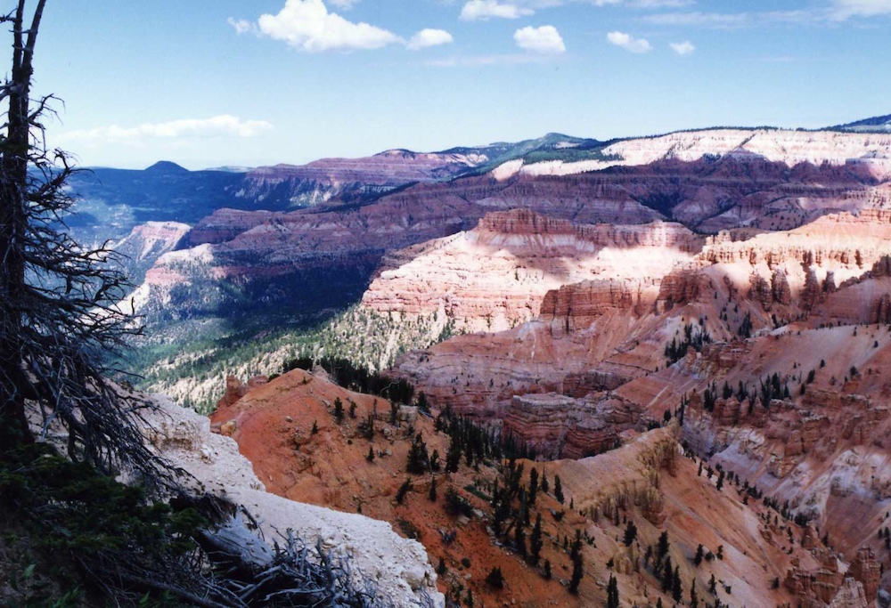
Mt. Carmel we headed east into Bryce Canyon. Bryce is one of
my favorite canyons and unlike Zion, you are on the top looking
down into the canyon. Zion you are in the bottom looking
up. And Bryce represents a different, newer epoch in the
Earth's history, Zion being lower in altitude and earlier in time.
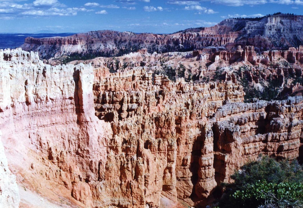
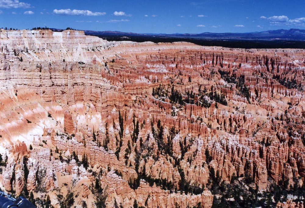
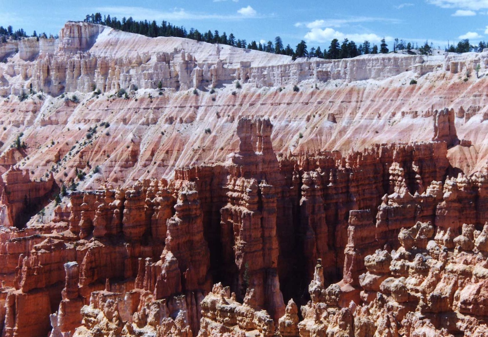
When
we were there, the clouds provided shadows that made the colors of
the cliffs even more dramatic.
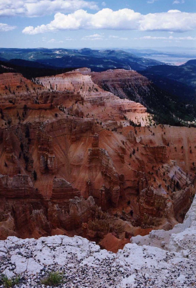
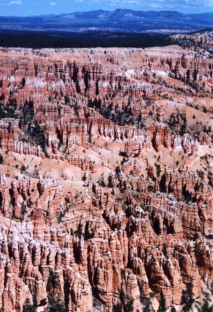
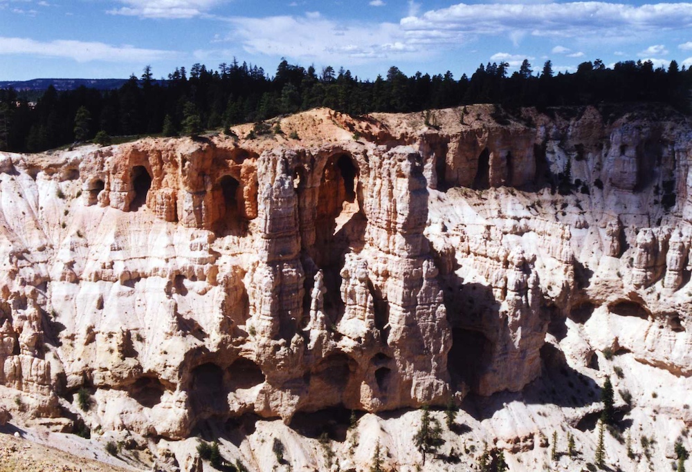
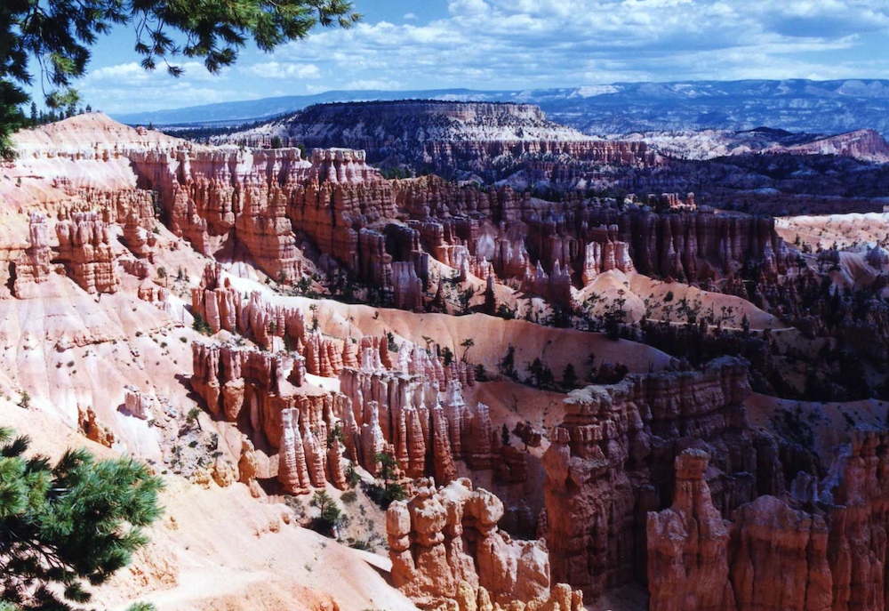
The
deep canyons eroded to produce narrow hoodoos.
The
mesas in the background are over 10,000 feet in altitude.
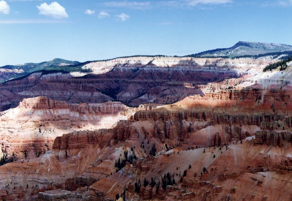
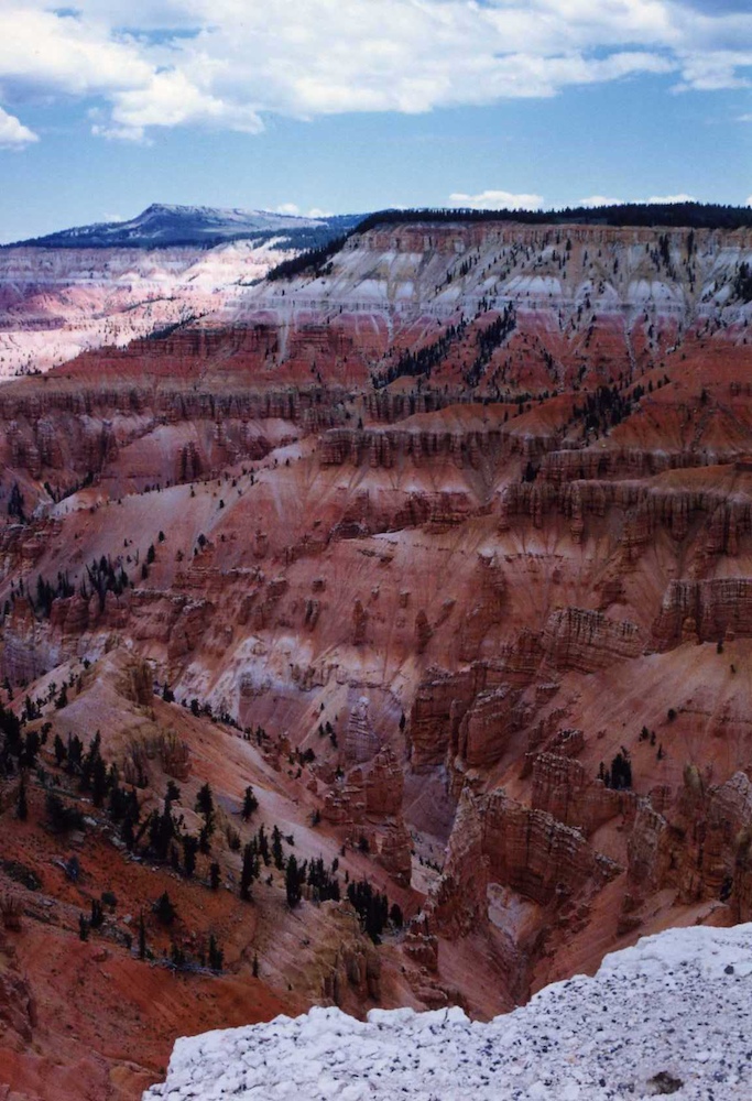
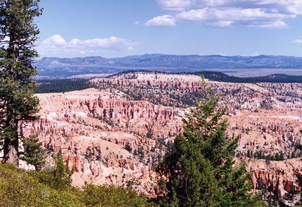
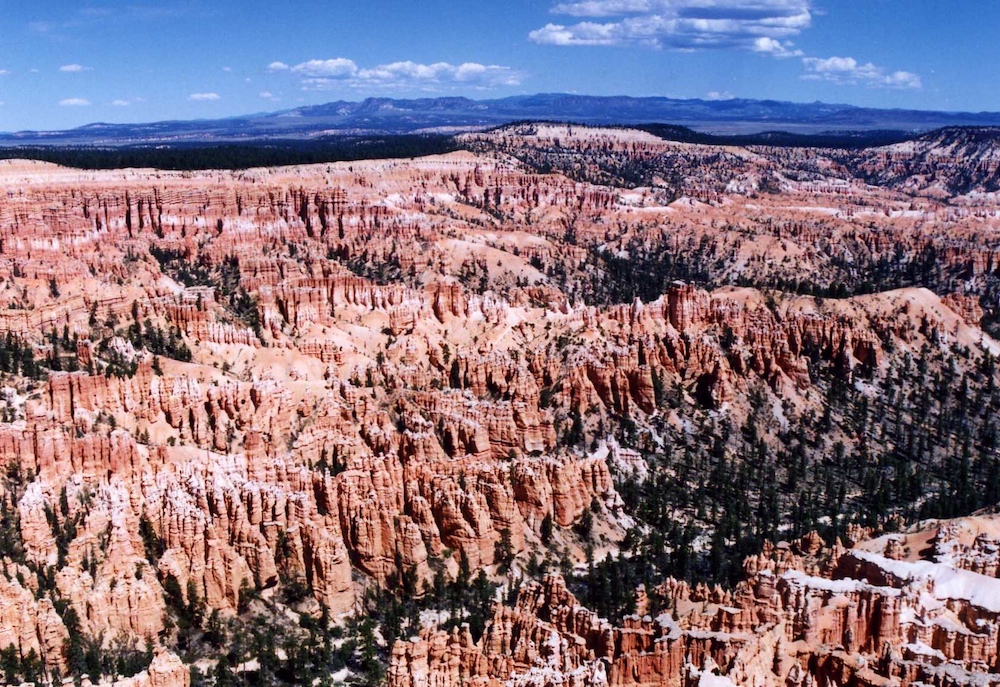
The
cliffs in Bryce encompass a number of geologic strata that reveal
a striking variety of colors.
Erosion
of the softer strata resulted in complex hoodoos.
The shadow to sunlight transition made for tough conditions for photos, even for film.
Bryce
Canyon is a must-see if you are in the area.
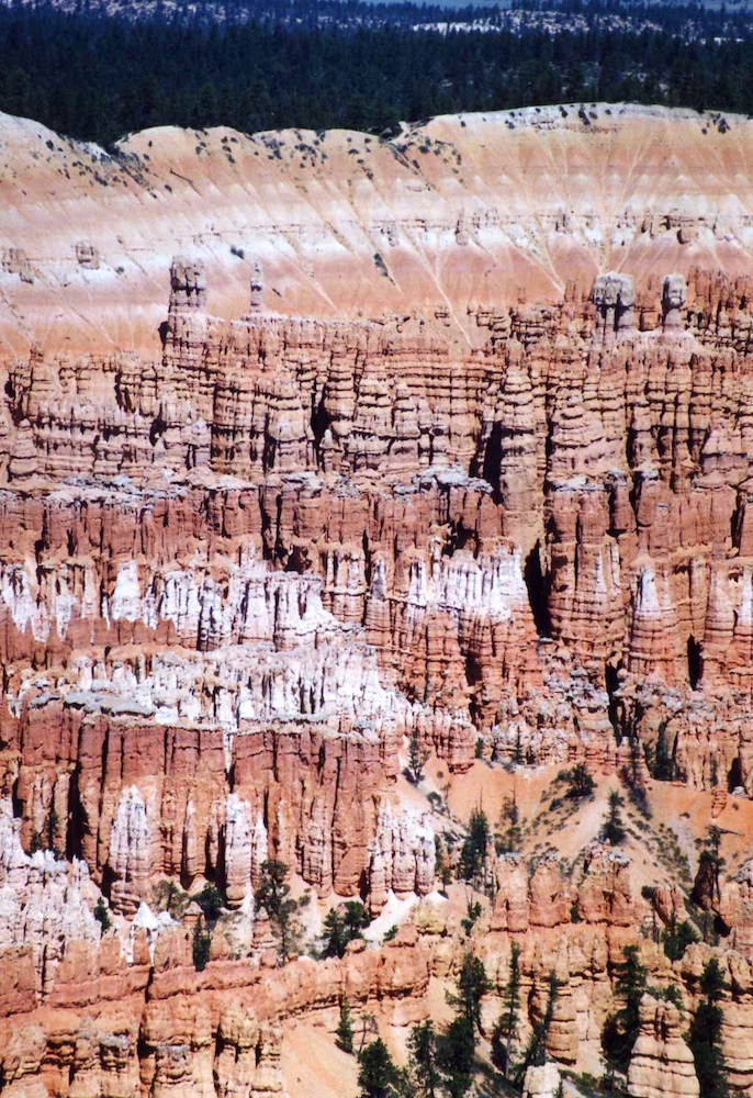
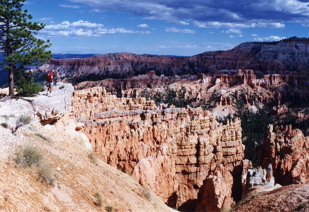
The
hoodoos are intricate and numerous.
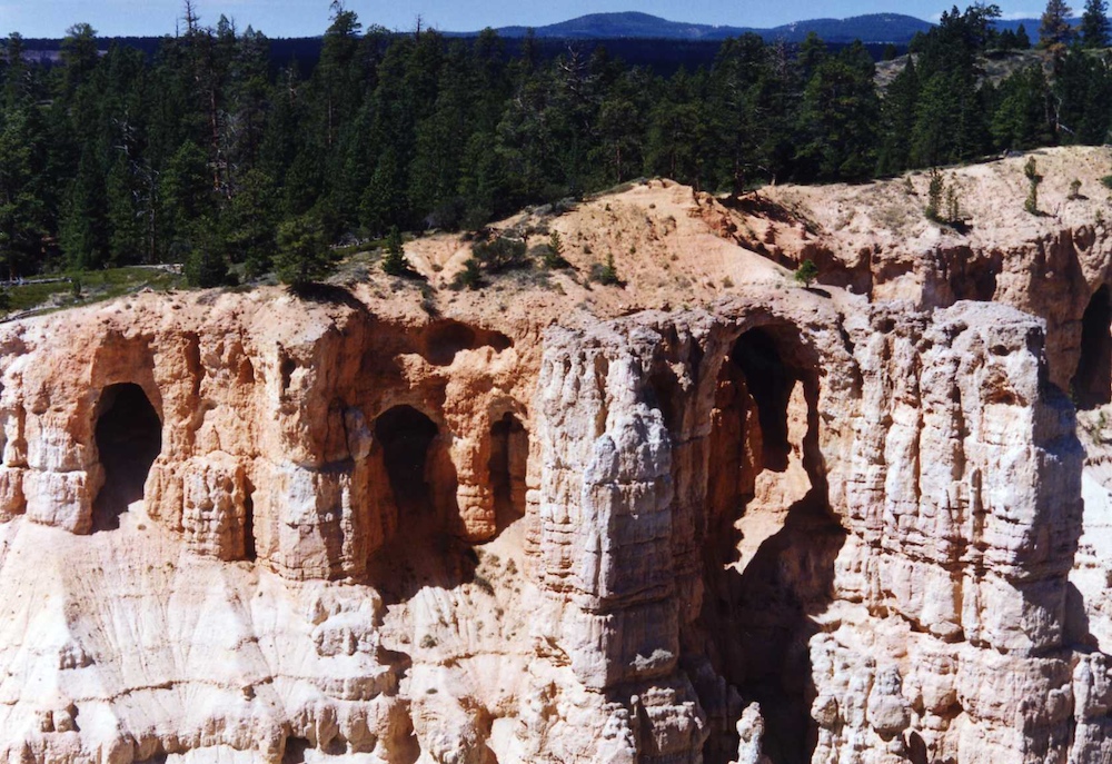
Some
of the upper formations produced arches.
The
plateaus in the distance appear to still have snow.
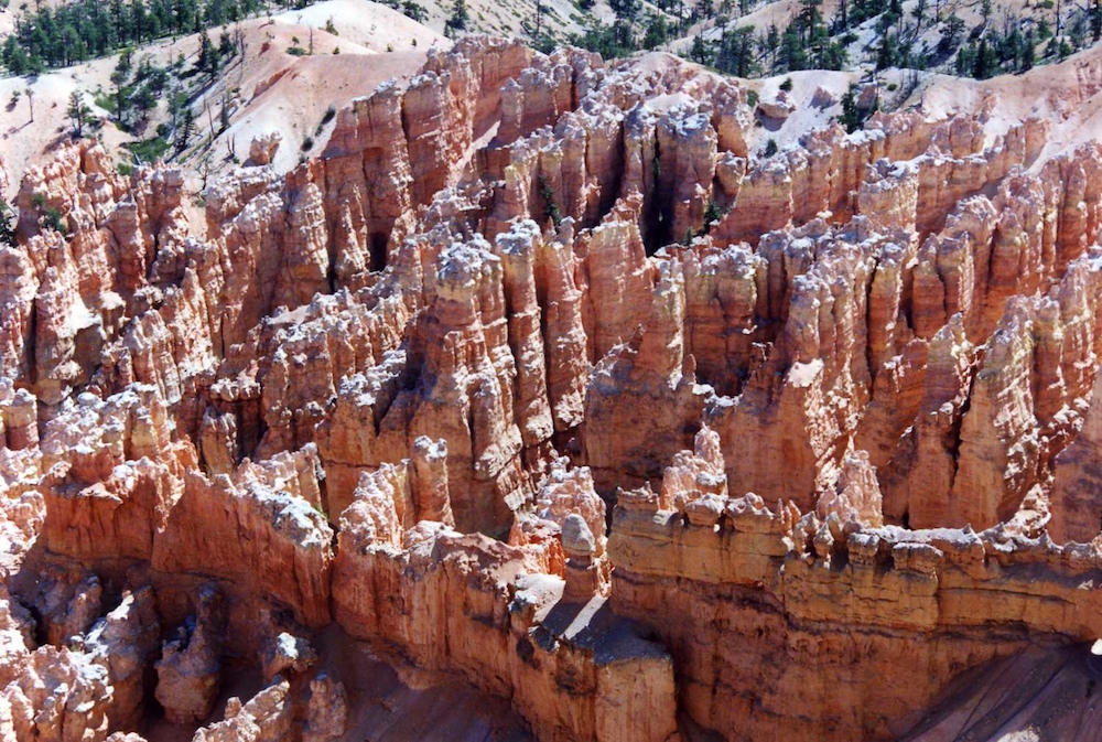
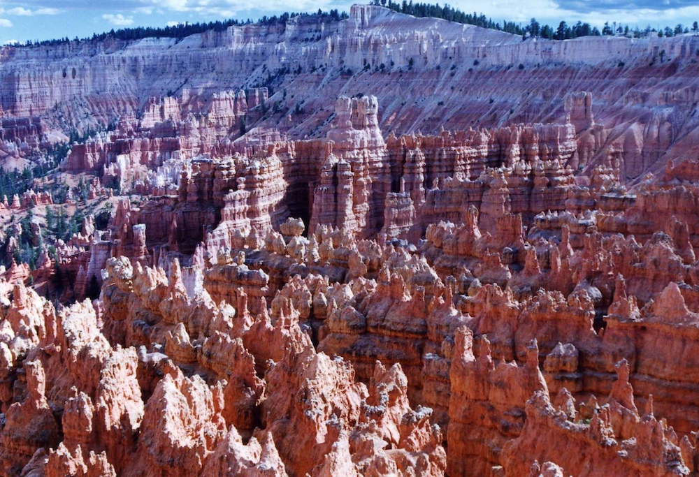
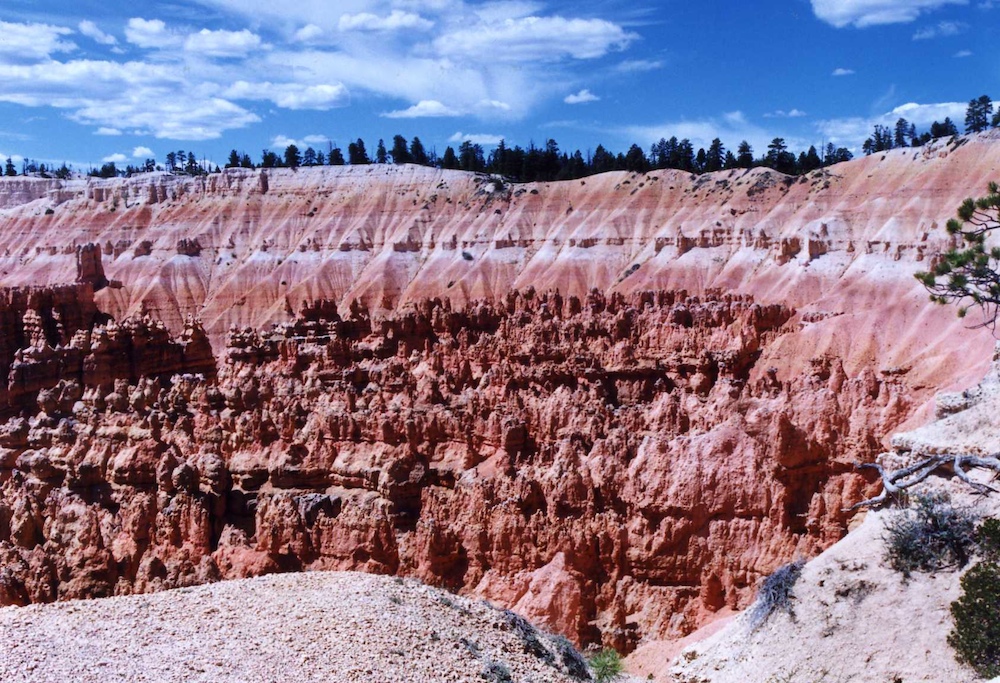
Some
of the hoodoos had fantastical shapes. Notice the ones in
the ridges closest to the bottom of the photo.
Generally,
the strata that creates hoodoos is not conducive to plant growth.
Further
into the park, you gain access to viewpoints that allow vistas of
entire amphitheaters of hoodoos.
More
nice arches in the soft formations.
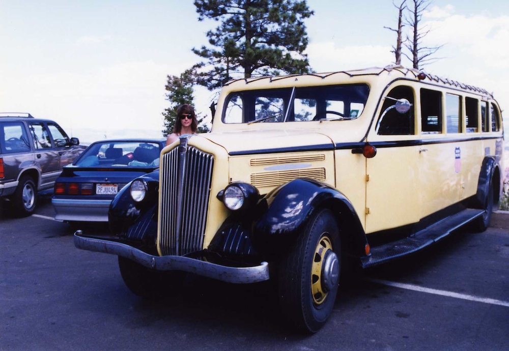
One
of the famous Bryce Busses that take visitors around the park.
Note a very young Kathleen behind the hood of the bus.
Another
view of the intricate and numerous hoodoos.
There
are a number of amphitheater viewpoints.
The
clouds were starting to come in, so it was time to move on.
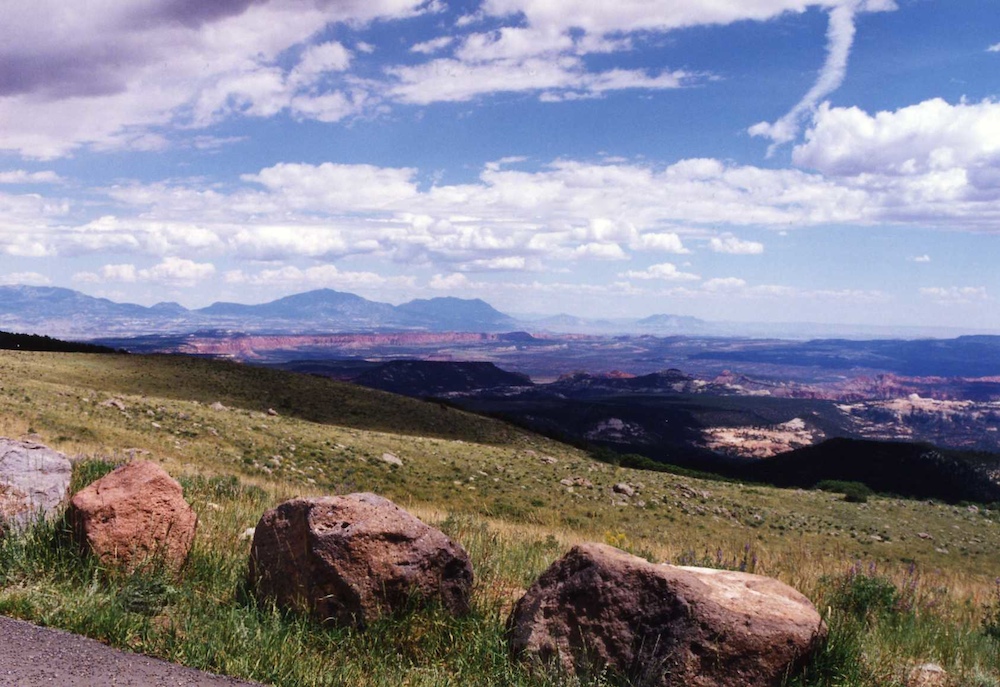
The
clear air of the Bryce plateau provided nice views of the distant
cliffs and headlands.
We
traveled to the east losing altitude along the way and entering
the desert.
Massive
hoodoos were visible from the highway. And of course, since
our ride was a Ford Mustang, that was the only place that we were
going to be.
We
continued east into Capital Reef N.P.
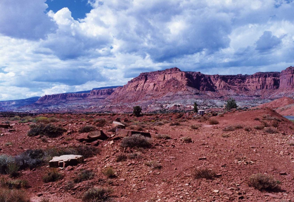
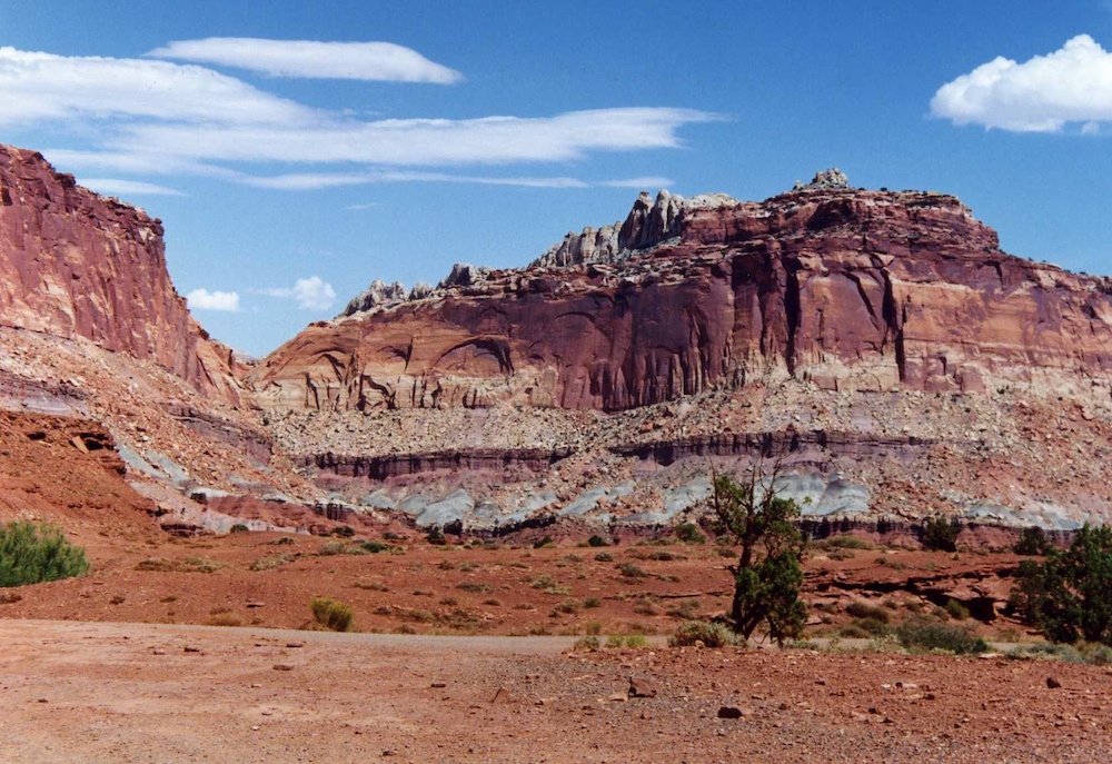
Capital
Reef has nice structures that are easily visible from the
road. As a side note, the old film cameras produced nice,
vivid, saturated images, even after being scanned.
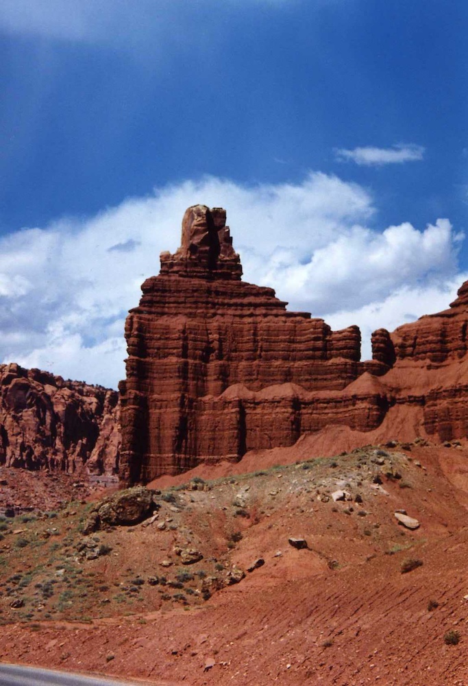
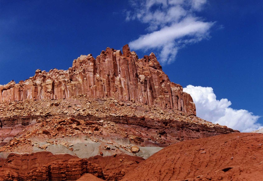
More
nice structures in Capital Reef N.P.
A
view of an orchard within the park.
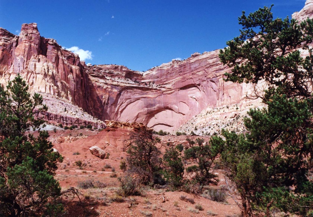
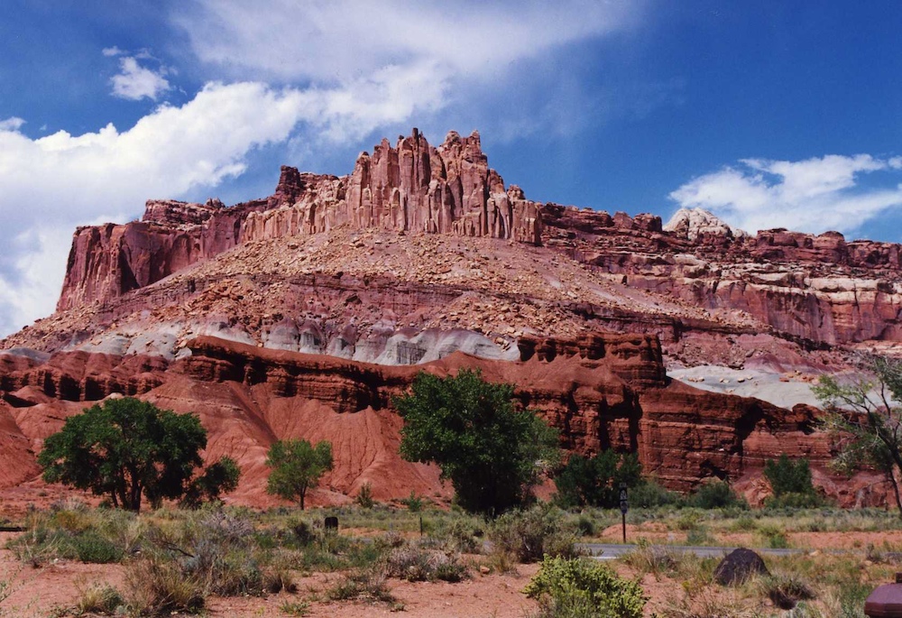
Some
of the cliff faces were awesome.
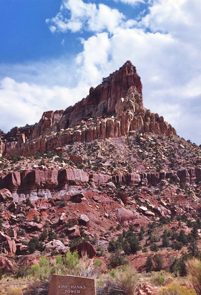
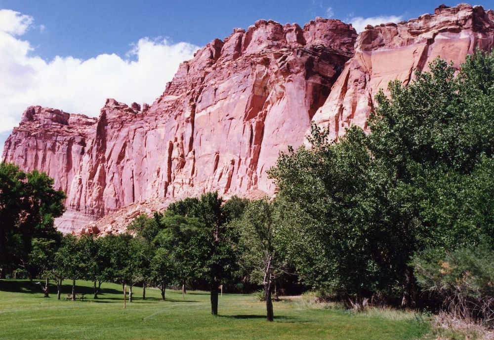
I
believe that this tower was named in honor of one of the earlier
Mormon settlers in this area. Eph is a shortening of
"Ephriam". He was one of the first Mormons to come west with
Brigham Young and joined the Mormon Battalion and actually walked
to San Diego, CA from Illinois. He later returned to
Utah. He died in 1896.
| Previous Adventure | ||
| Trip Home Page |
Photos and Text Copyright Bill Caid 2013,
all rights reserved.
For your enjoyment only, not for commercial use.